Get Lost Mountaineering
You are here: England » Pennine Way » 4. Hawes to Dufton
4. A66 Pasture End to near Needless Bridge
4. A66 Pasture End to near Needless Bridge
Start/Finish
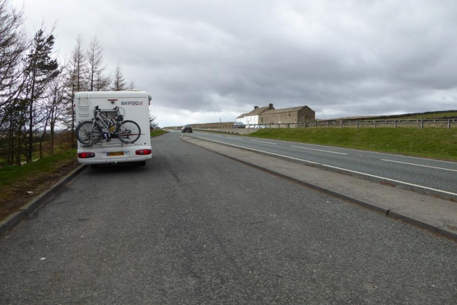
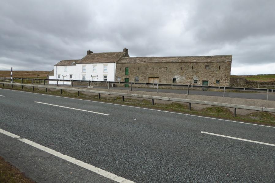
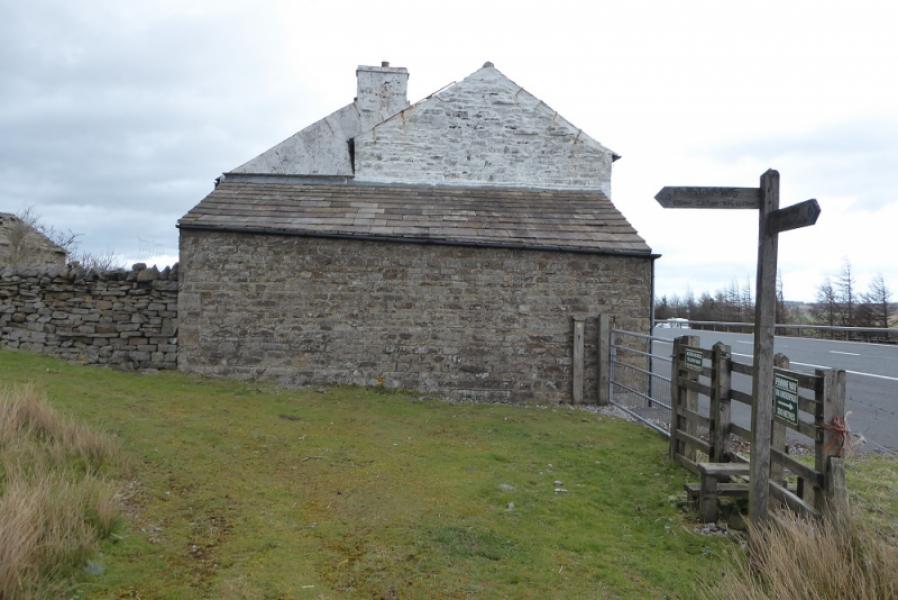
Either westbound or eastbound lay by on A66 at Pasture End, NY 955 128. Pasture End is about 2 miles west of the Bowes turn off on the A66 and about 10 miles east of the Brough turn off. There is a large lay by on both sides of the carriageway. Pasture End is a long building which is white at its western end. The finish is at the Hury road near Needless Bridge to the north of Blackton Reservoir. If you have to retrace to your starting point then the best start is probably the road end car park near Clove Lodge at the end of the Baldersdale road. so go south to the A66 first then retrace back before going north to near Needless Bridge.
Distance/Time
9 km. About 3 – 4 hours.
Peaks
No peaks a such but the highest point is about 420 m.
OL31 North Pennines.
Introduction
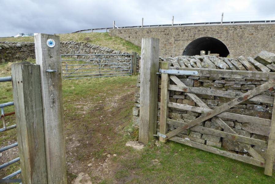
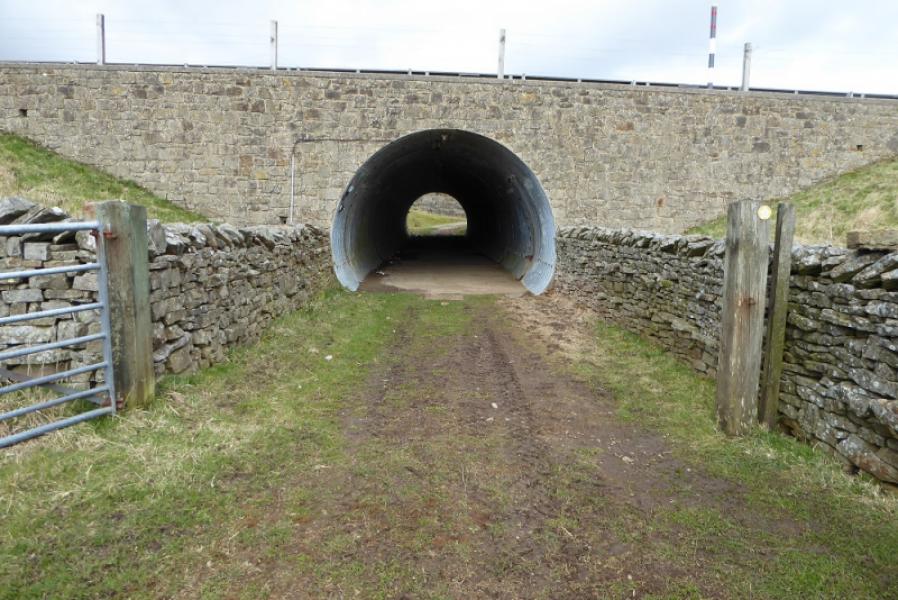
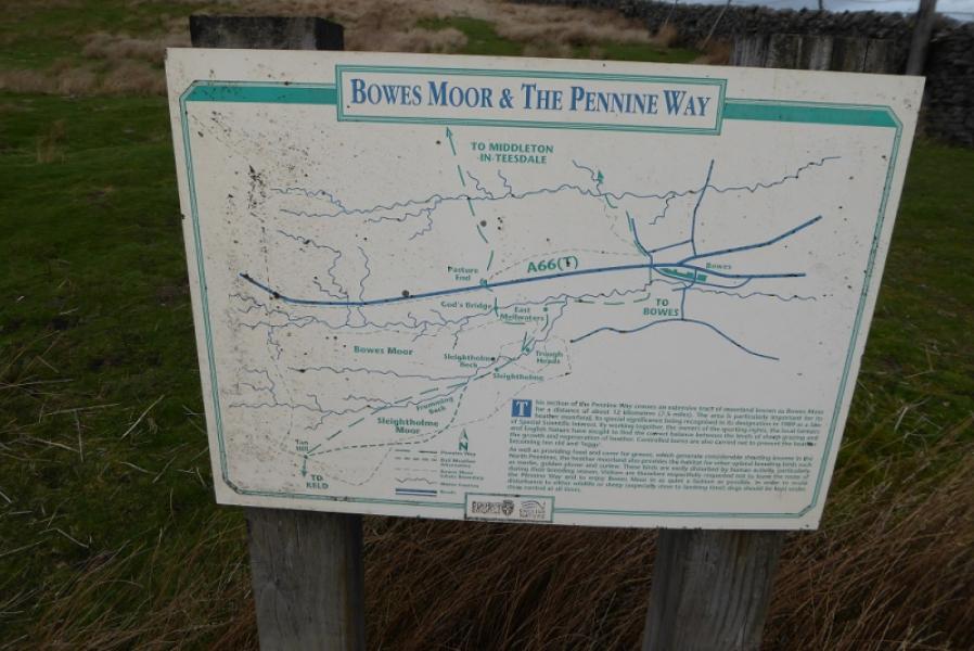
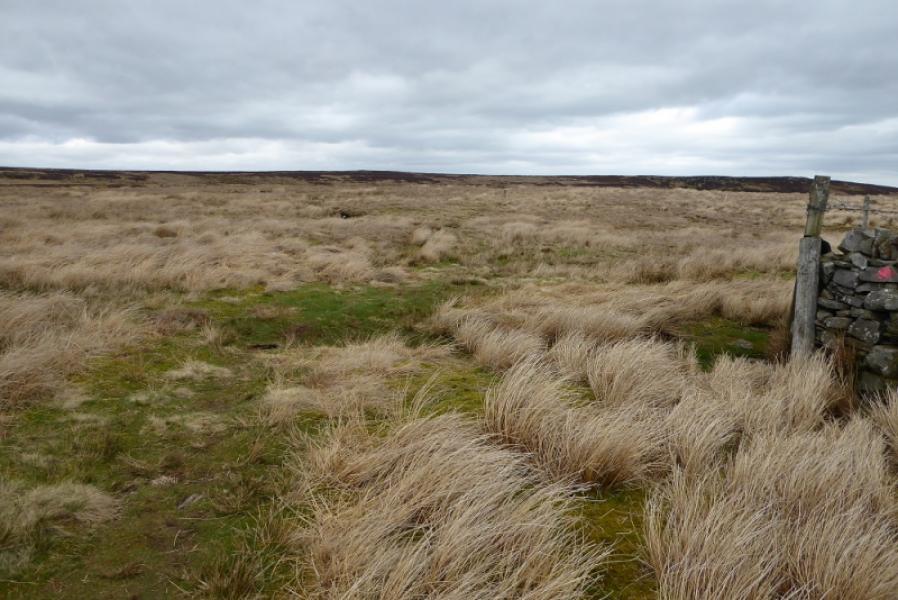
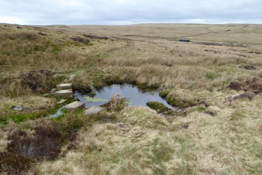
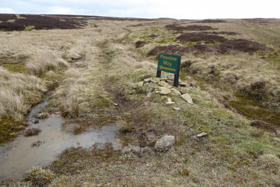
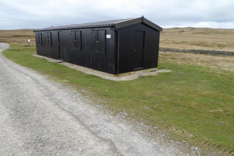
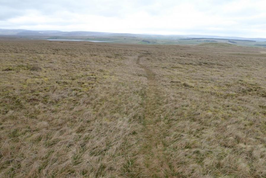
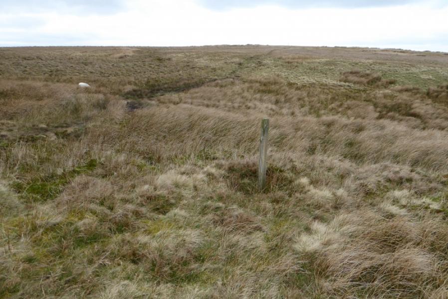
This route is entirely on the Pennine Way. In misty conditions, navigation would be challenging as the path crosses fairly featureless moorland and is often wet and boggy underfoot. There are no path improvements anywhere suggesting that this is not a popular section of the Pennine Way. A subway allows the very busy A66 to be crossed safely. The large shed in Sled Dale with a shelter sign on it was locked on 24/3/19! If you completing the Pennine Way and are parked on the north side of the A66 then you may need to use the subway to get to the Pennine Way sign on the south side if you haven't walked this short section before.
Route
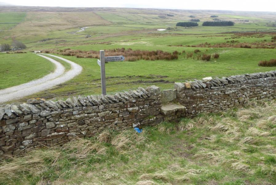
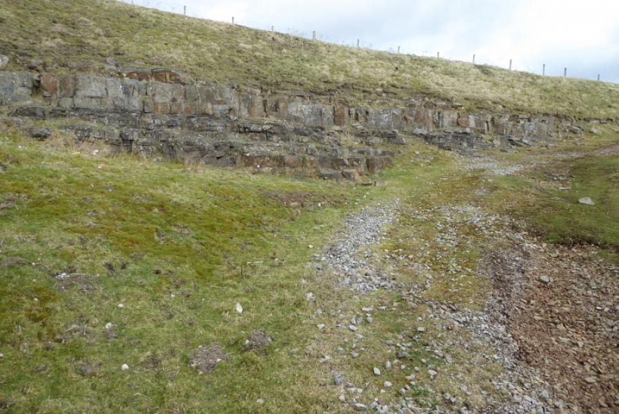
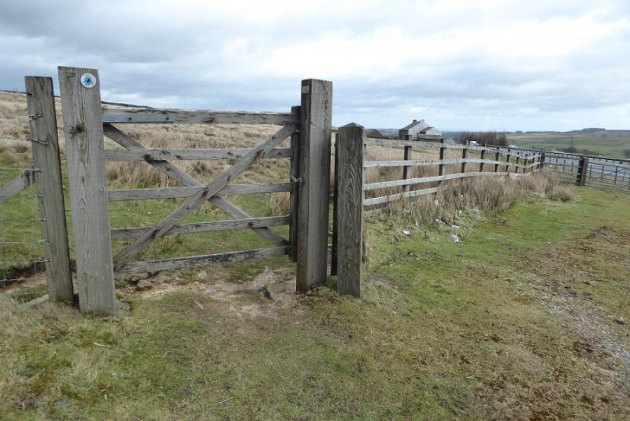
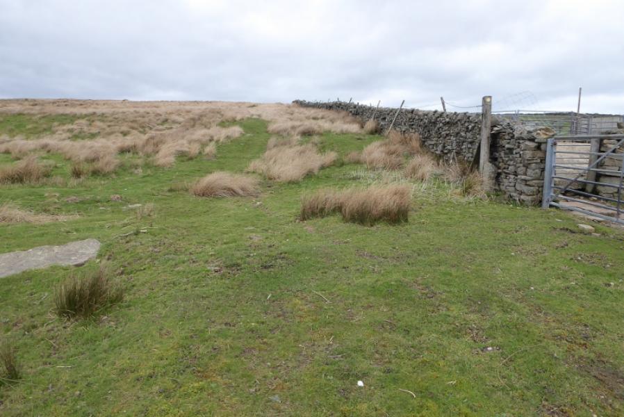
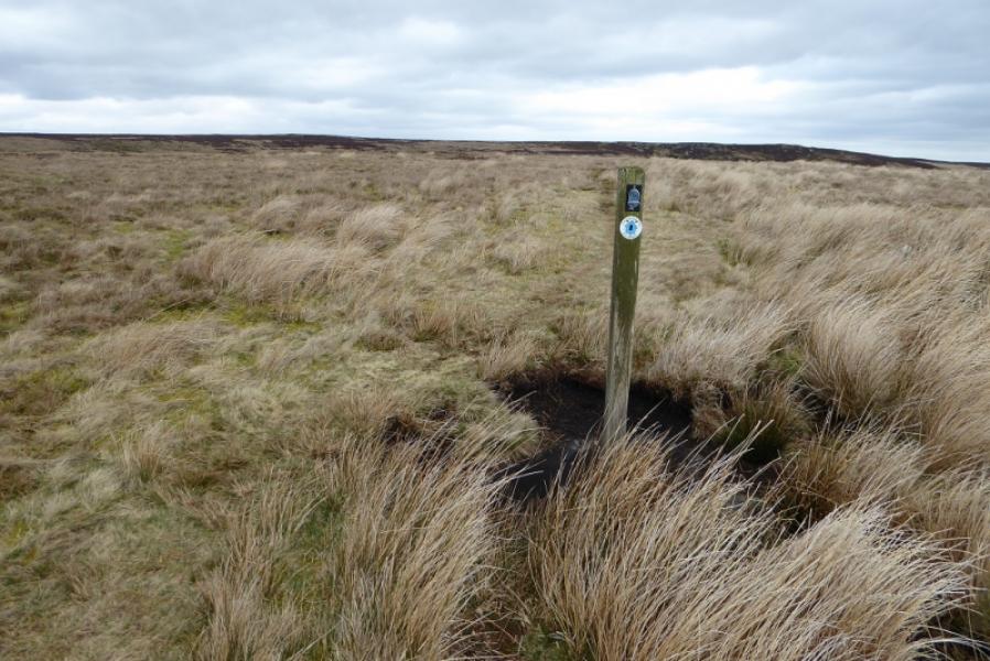
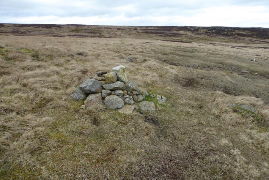
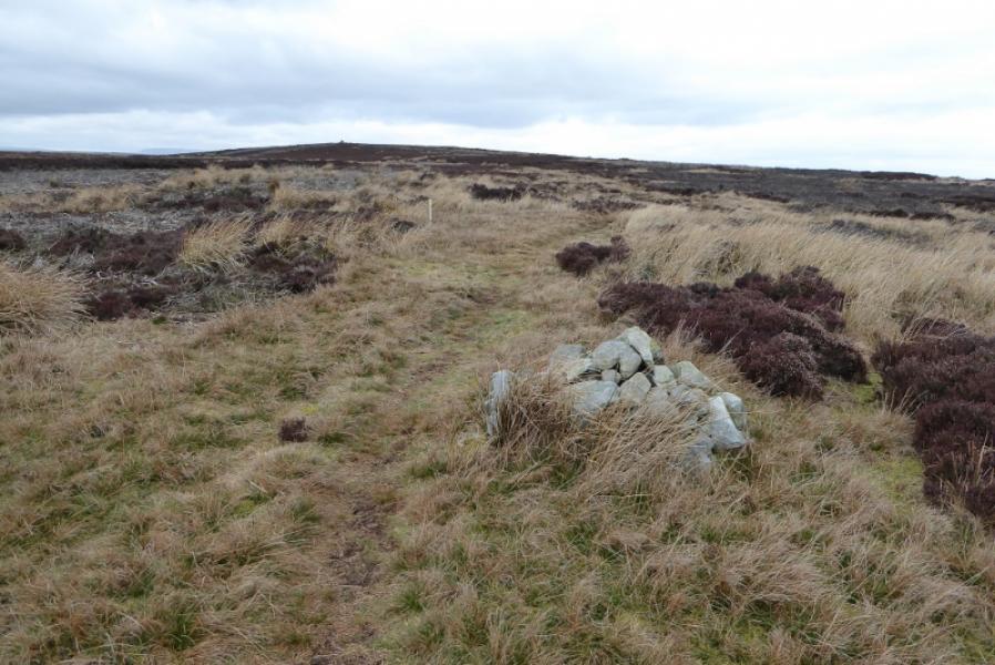
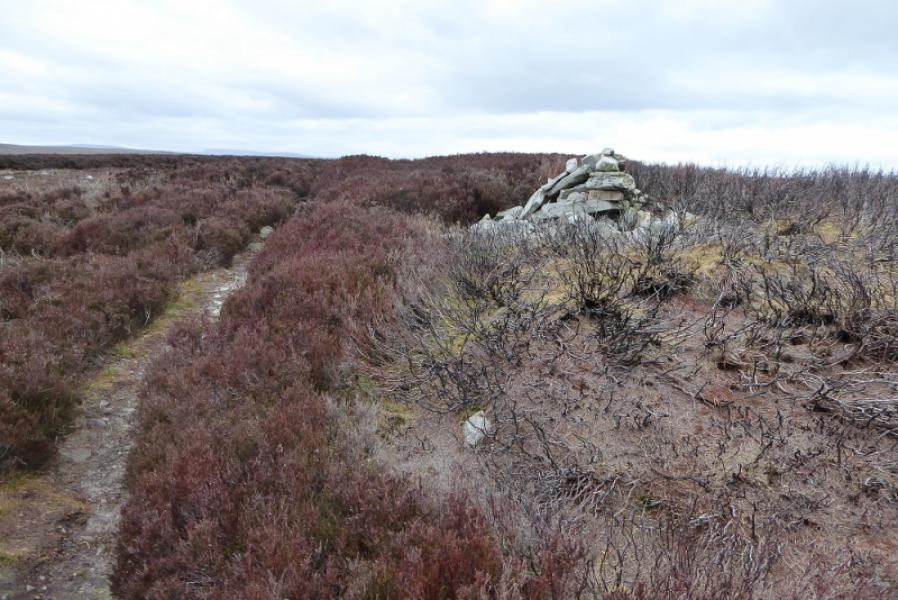
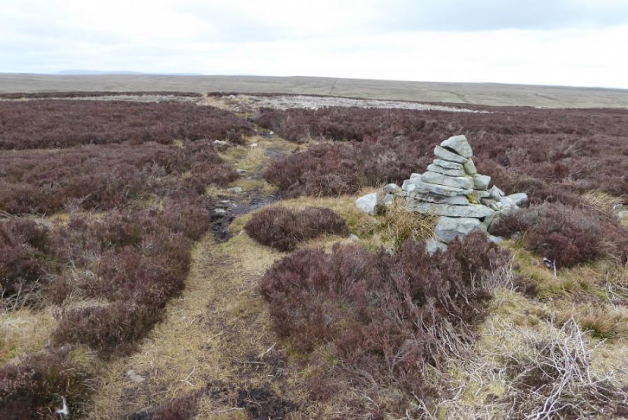
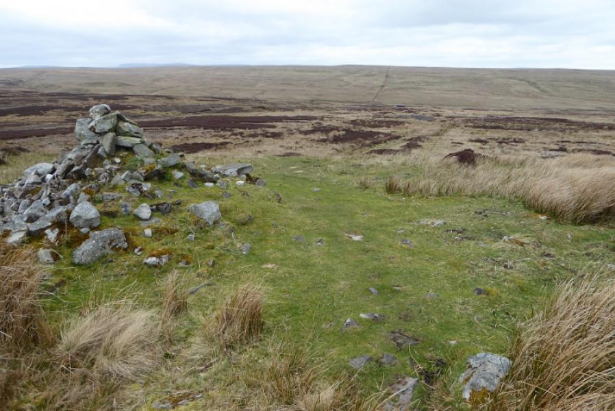
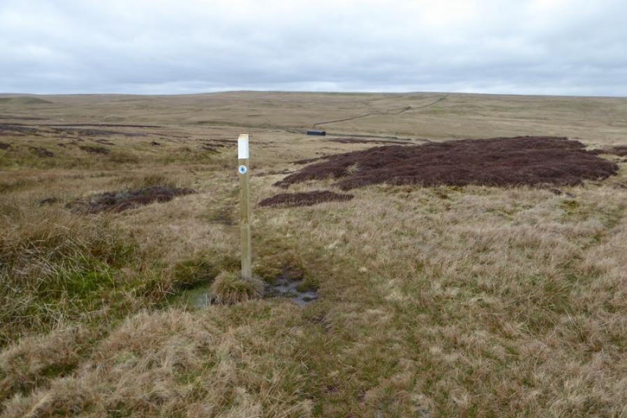
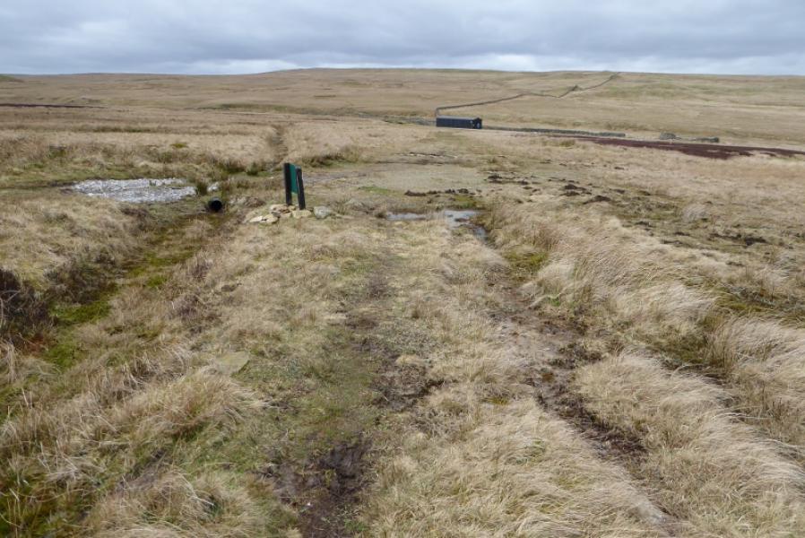
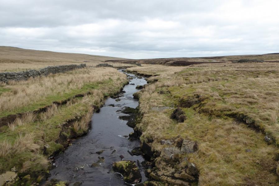
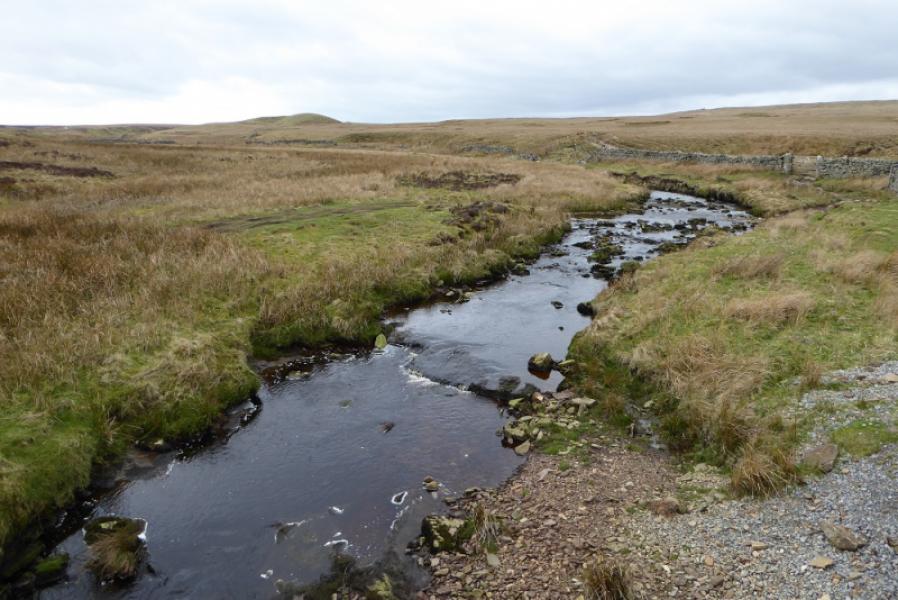
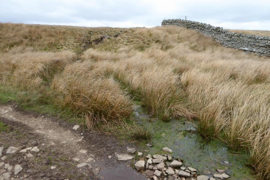
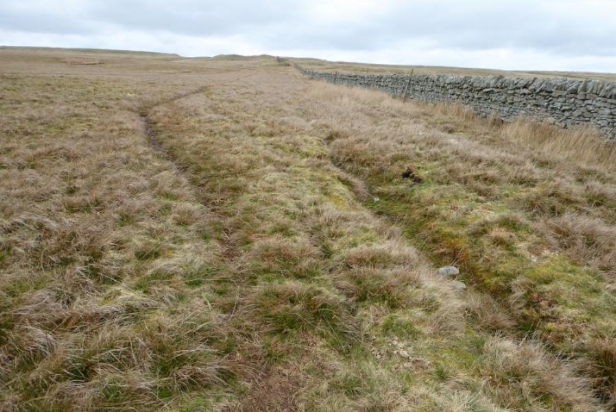
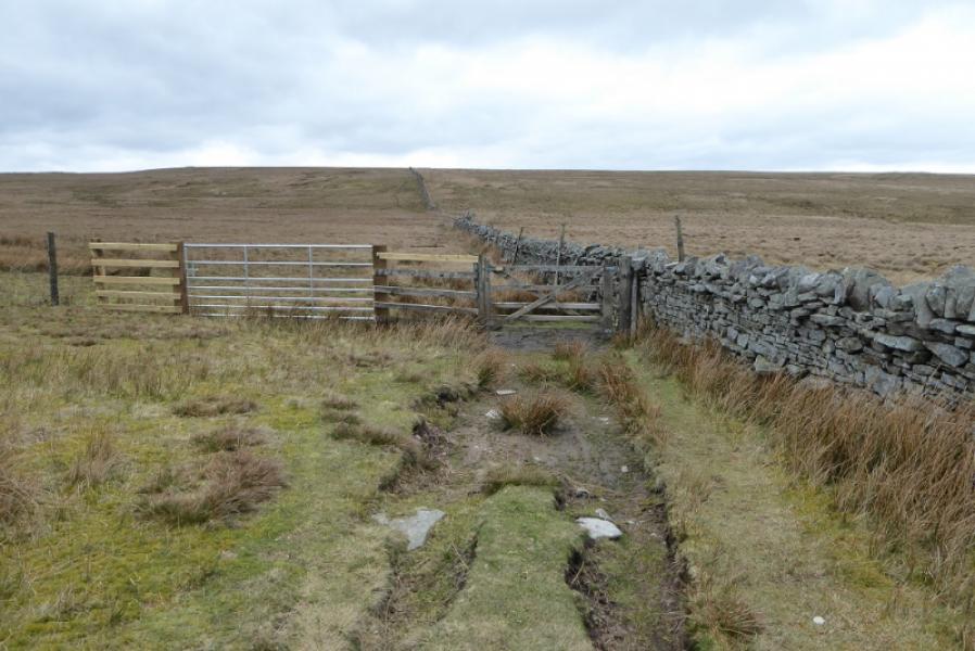
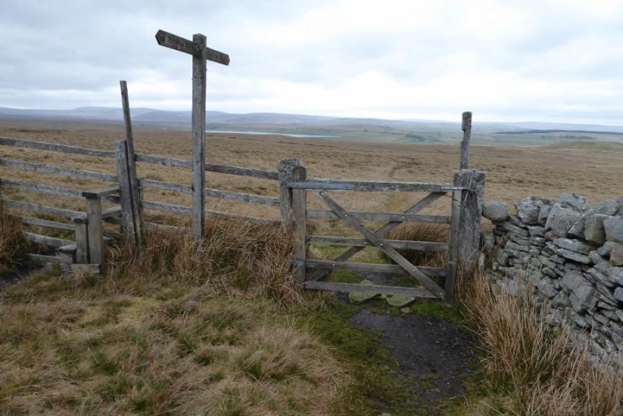
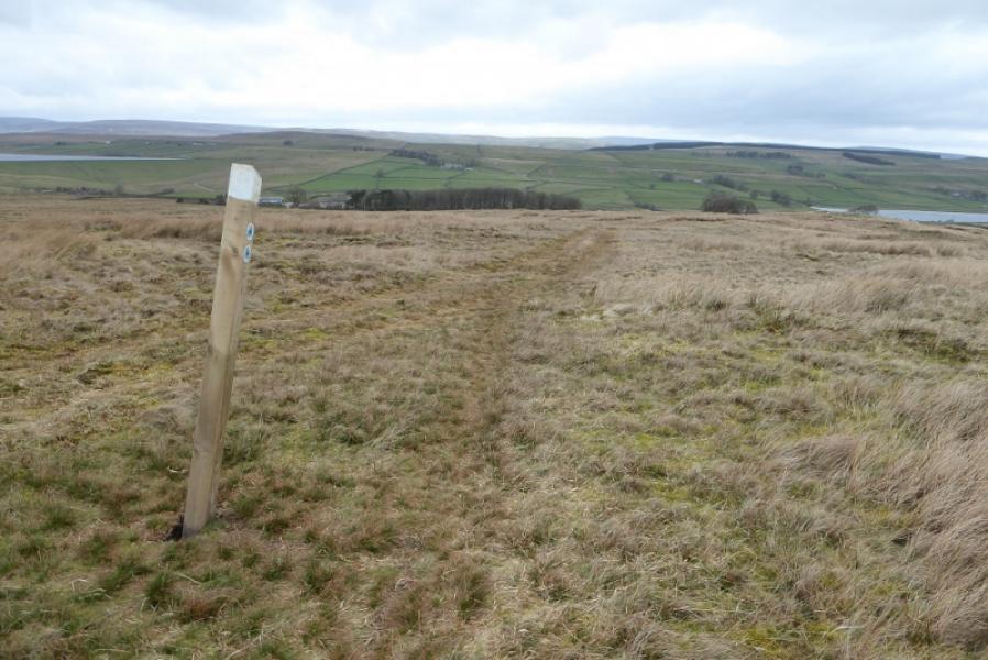
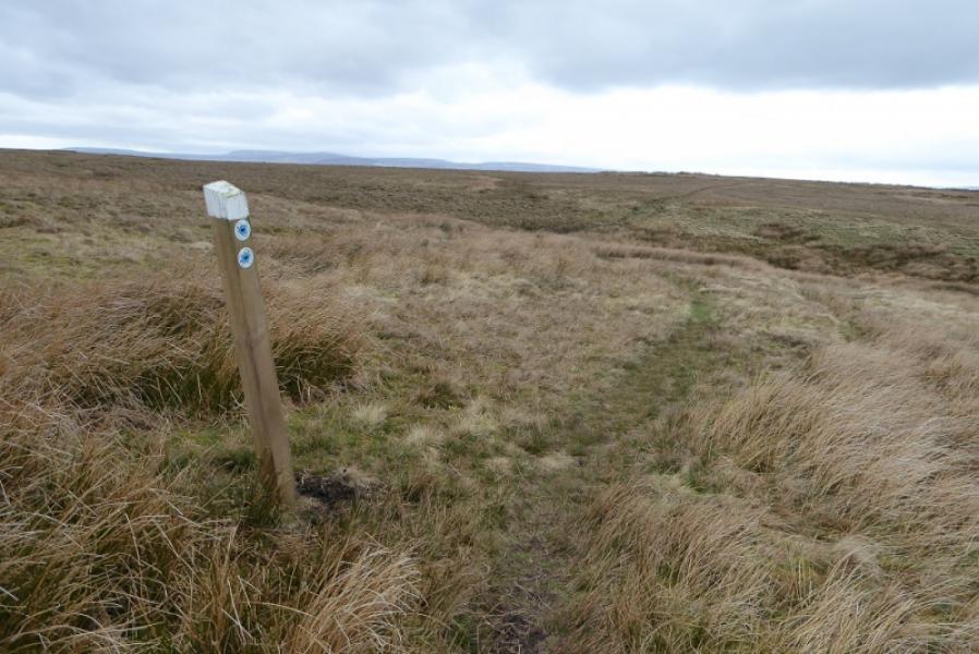
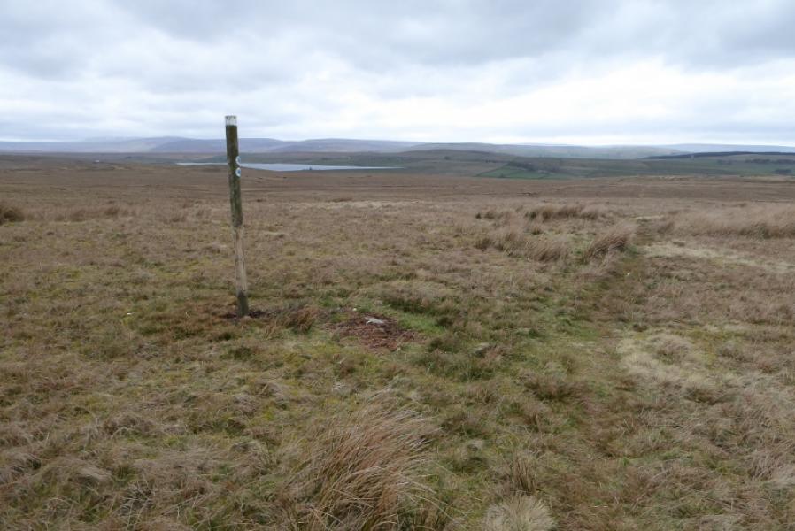
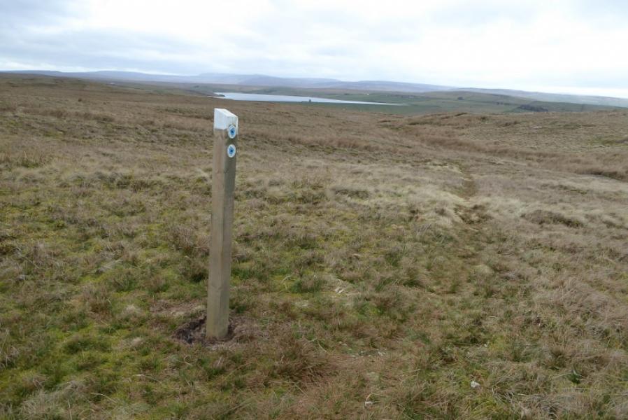
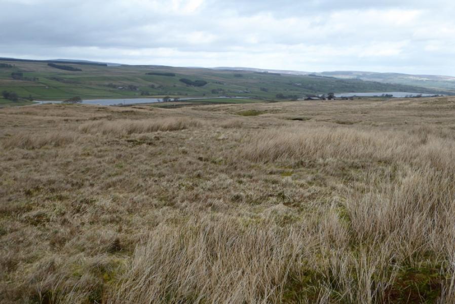
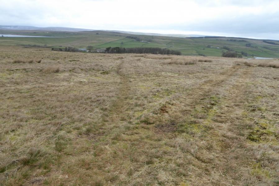
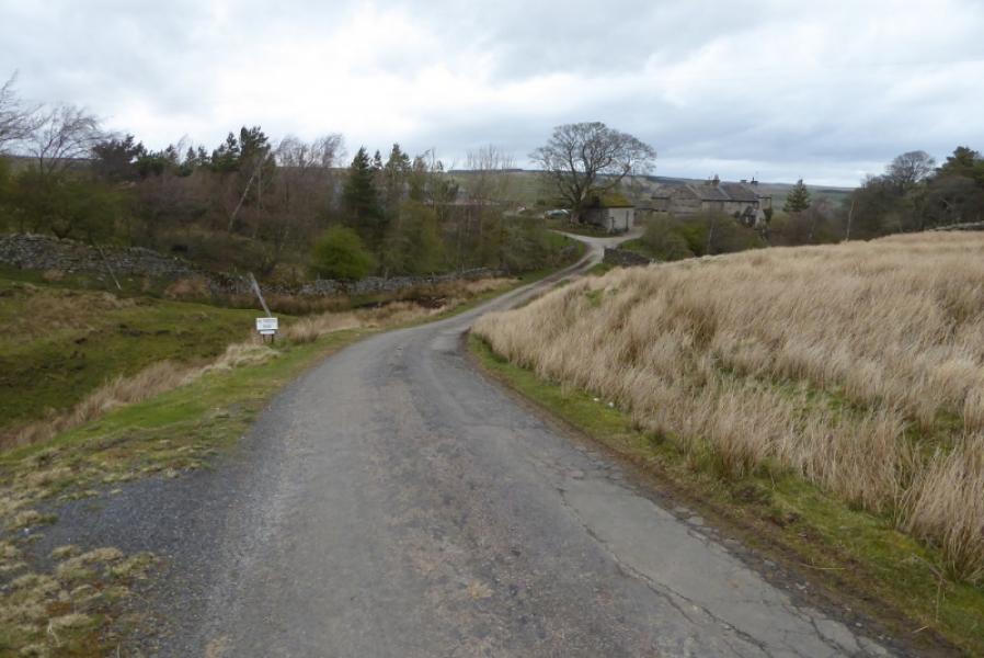
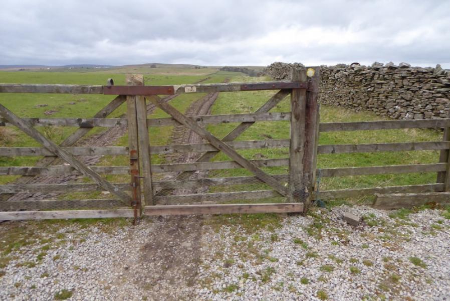
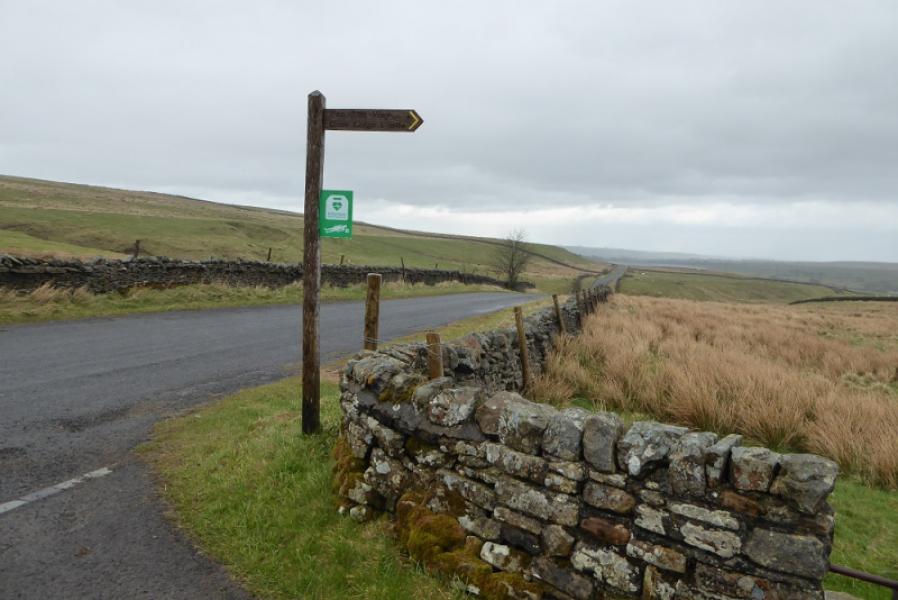
(1) From the S side lay by, walk along the top of the bank then descend to the stile and signpost which says God's Bridge is a short distance S. Follow the Pennine Way below the busy road then pass through the short tunnel to reach the N side. Follow the path to Pasture End where a sign post points up the side of a wall. Follow the path to the end of the wall then continue on the path. Some cairns help with navigation. Reach a crest then descend down to the track in Sled Dale where there is a large hut. Go left for a few metres then cross the footbridge and ascend NNW following a wall. Cross a fence then reach another on the crest of Race Yte Rigg. In clear weather, Balderhead Reservoir will be visible from here. Start descending on roughly the same line. A few posts with white tips help to show the way. When the Baldersdale road is in sight, look for a path forking off left and follow it. It can be difficult to follow but the road is very close anyway. Reach the road at a signpost. Turn left and reach a car park.
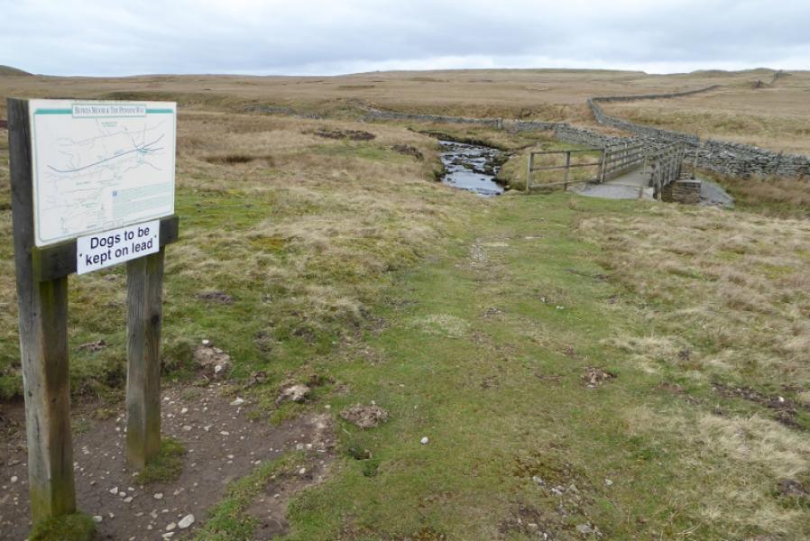
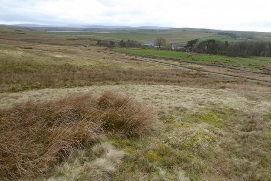
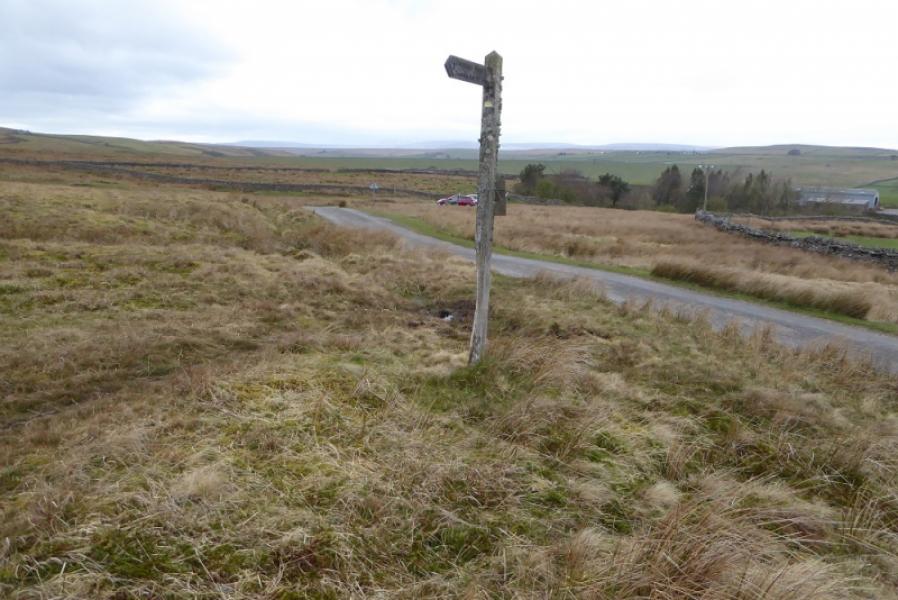
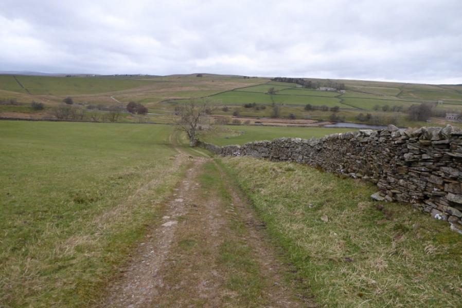
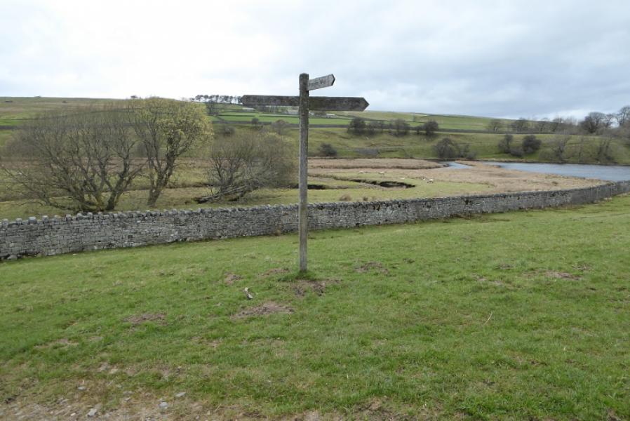
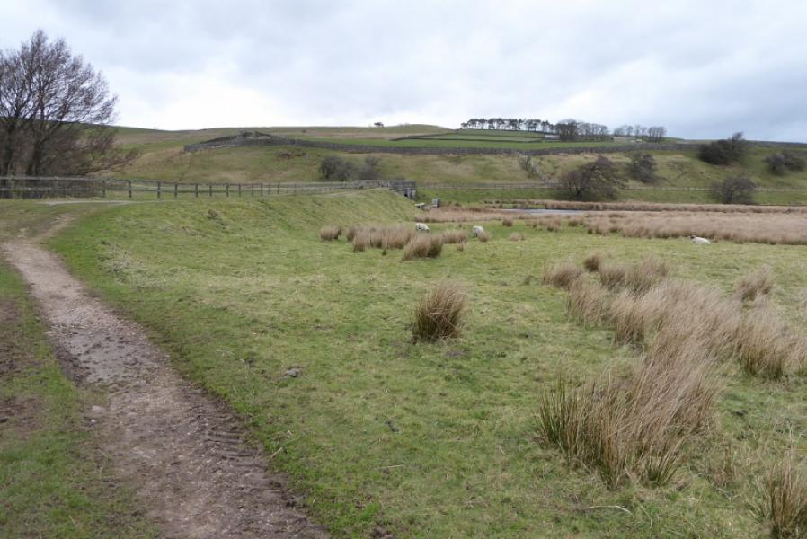
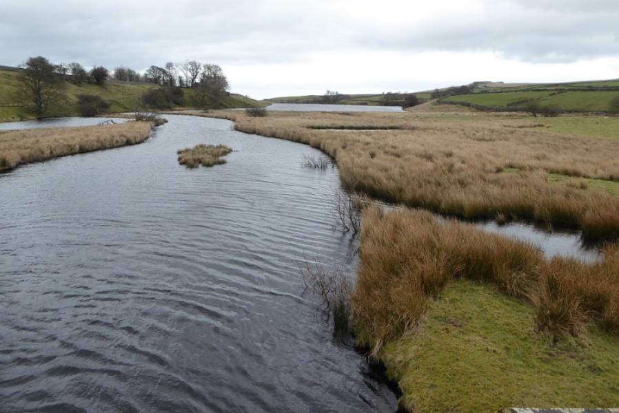
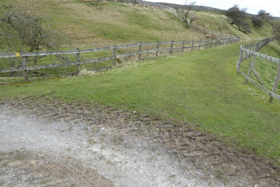
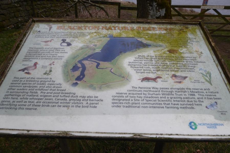
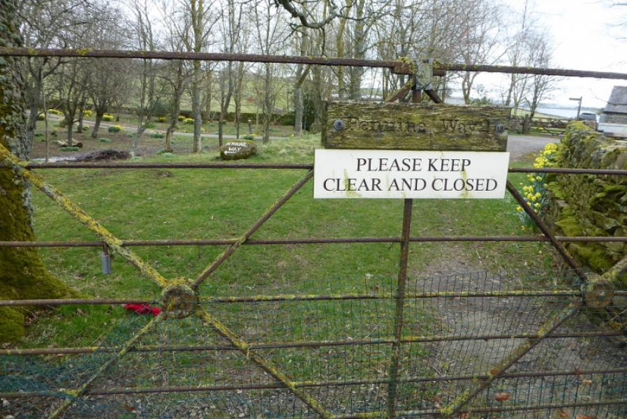
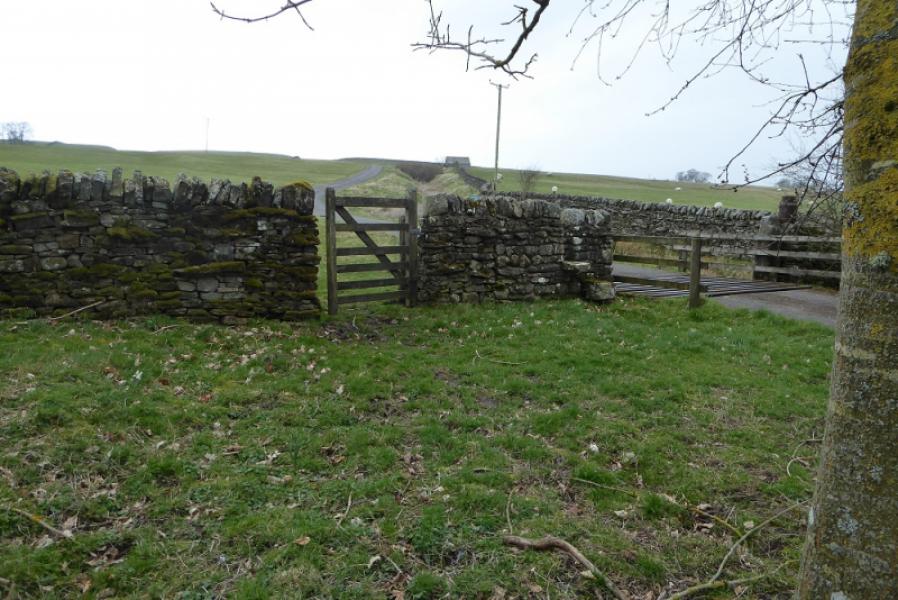
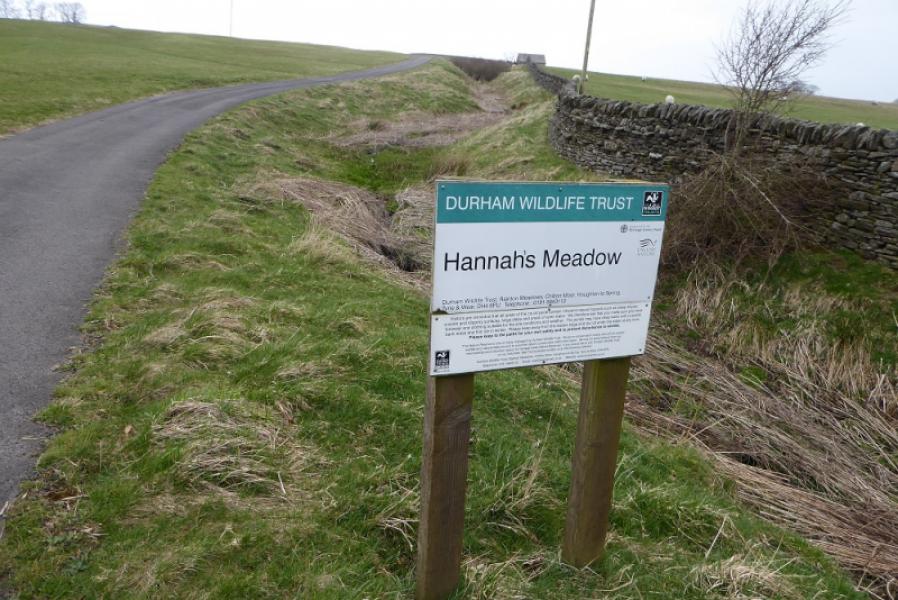
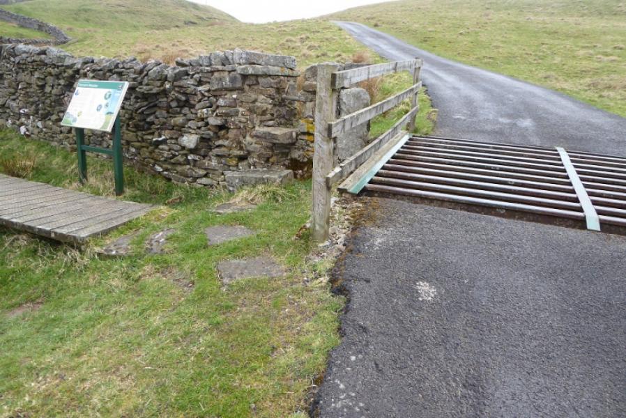
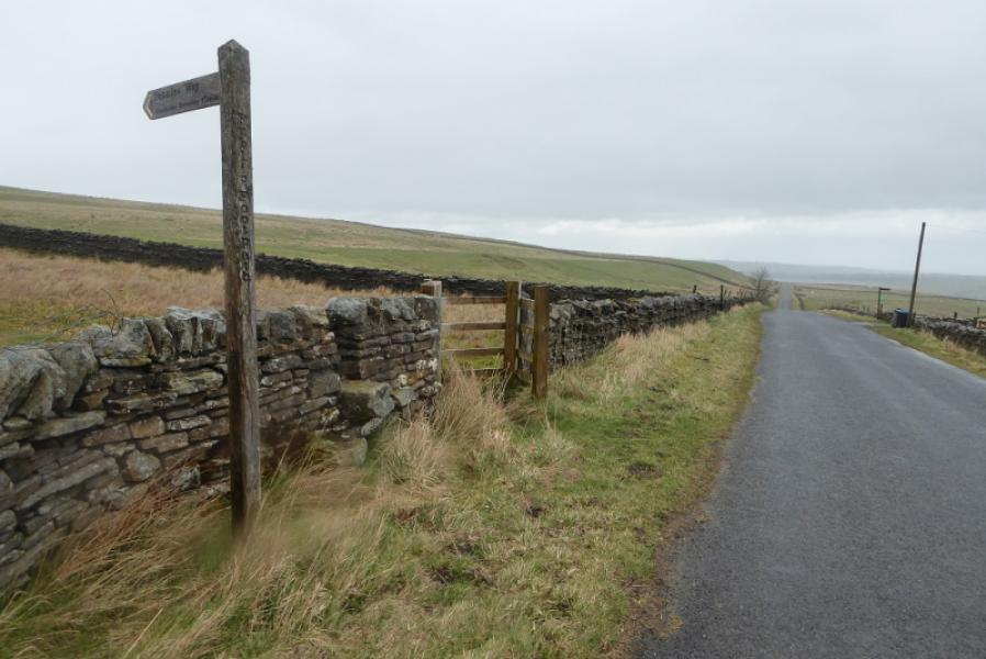
(2) Continue past the car park and reach Clove Lodge. Go through the gate on the left the straight on to exit the farm and follow a track by a wall which soon starts to descend. Follow the track down and round the head of Blackton Reservoir, crossing Blackton Bridge then following a grassy track up to Low Birk Hat. Follow the private tarmac road which crosses Hannah.s (Hauxwell) Meadow. Stay on the tarmac road to reach the public road, to the W of Needless Bridge, at a sign post. Turn left. The Pennine Way leaves the road after about 50 m and heads N towards Grassholme Reservoir
Notes
(a) This route was walked on 24th March, 2019.
Photos - Hover over photo for caption. Click on to enlarge. Click on again to reduce.