Get Lost Mountaineering
You are here: England » Peak District » Kinder & Mill Hill from Snake Road
Blackden Brook, Seal Edge & Fair Brook from Snake Pass
Blackden Brook, Seal Edge & Fair Brook from Snake Pass
Start/Finish
A57, Snake Pass, opposite the foot of Blackden Brook. This is about 4.8 miles up the pass from the west end of the Ladybower viaduct. There is rough layby, which involves driving over a rough kerb, on the left, S, of the road at the start of the walk. Just above here, the left verge is mainly gravel and can also be used for parking. About 500 m further up is a small milestone in another lay by which is easier to get into. Using this does not add extra distance as it will be walked past on the return.
Distance/Time
9 km About 4 hours
Peaks
No peaks as such since this is an ascent of a deep clough (gully) followed by a walk along part of the northern edge of the Kinder plateau then a descent down the deep clough of Fair Brook. OS Outdoor Leisure 1: Dark Peak
Introduction
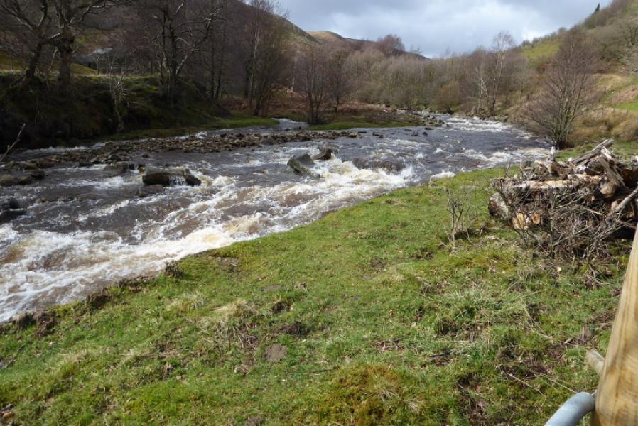
The path up Blackden Brook is generally sound but, in places, it is becoming quite eroded and some may be unhappy with the mild exposure which has resulted. A few sections are rocky but to call the ascent a scramble would be an exaggeration although when the rock is wet, it is harder to make progress. The path is generally on the right, W, of the brook but, occasionally crosses and recrosses the stream. If the stream is swollen it is possible to avoid these crossings. If the stream is very swollen, it may not be possible to cross until fairly high up and this could mean some awkward detours. If any sections seem difficult, they can usually be outflanked by gaining height on the right, W, of the stream. The walk along Seal Edge is straightforward and the descent down Fair Brook is on a much better and easier path than up Blackden Brook. There are many peaty and boggy sections on this walk so gaiters are essential. There are excellent views across the Snake Pass to Bleaklow.
Route
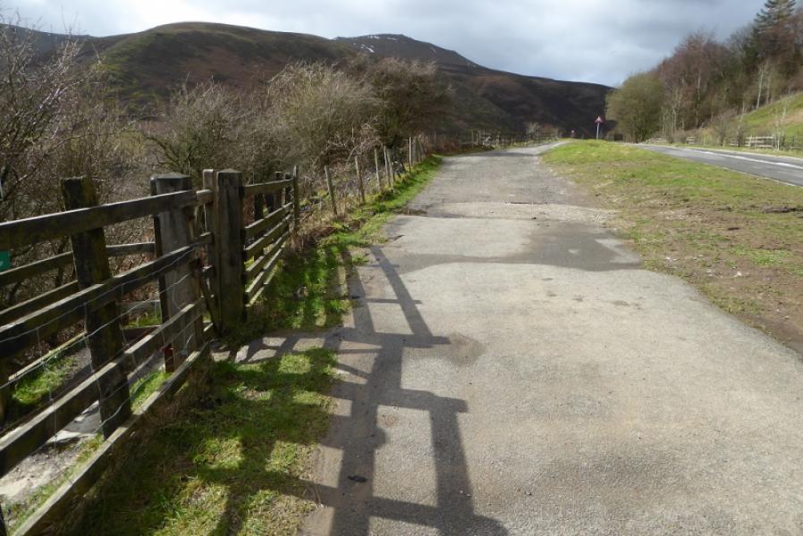
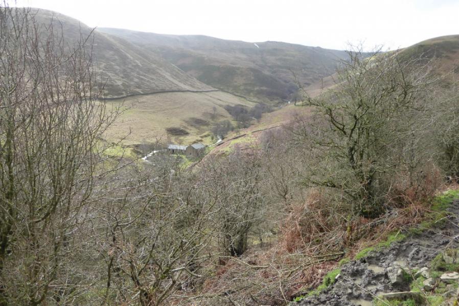
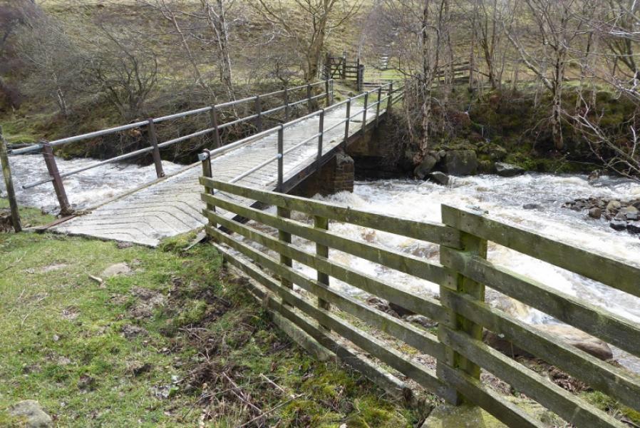
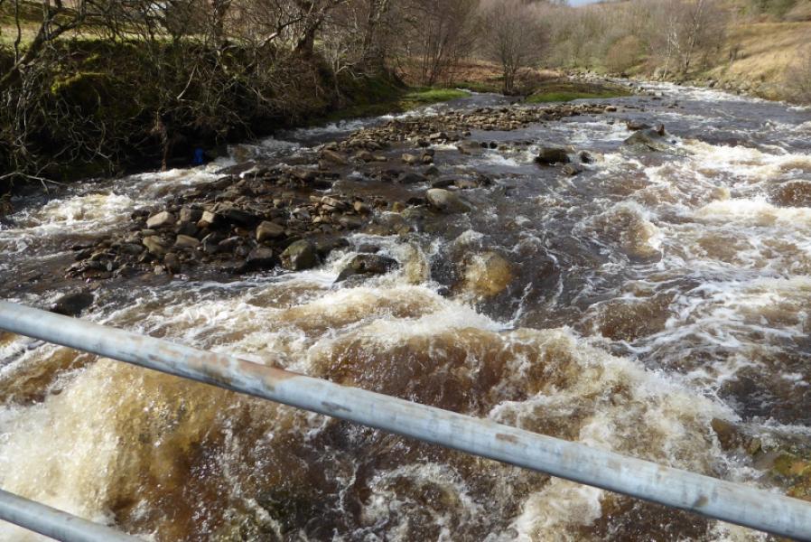
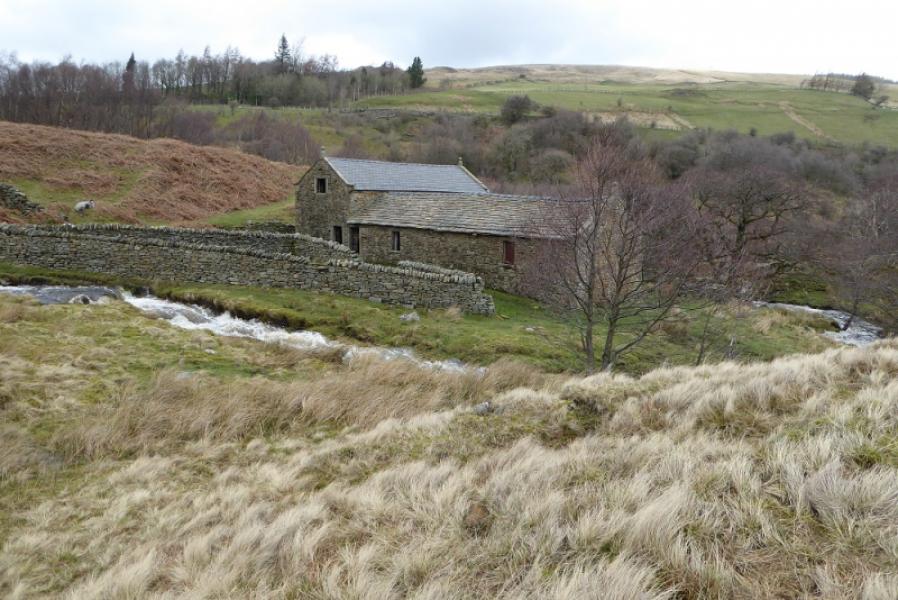
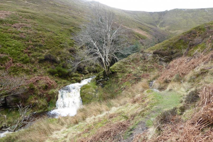
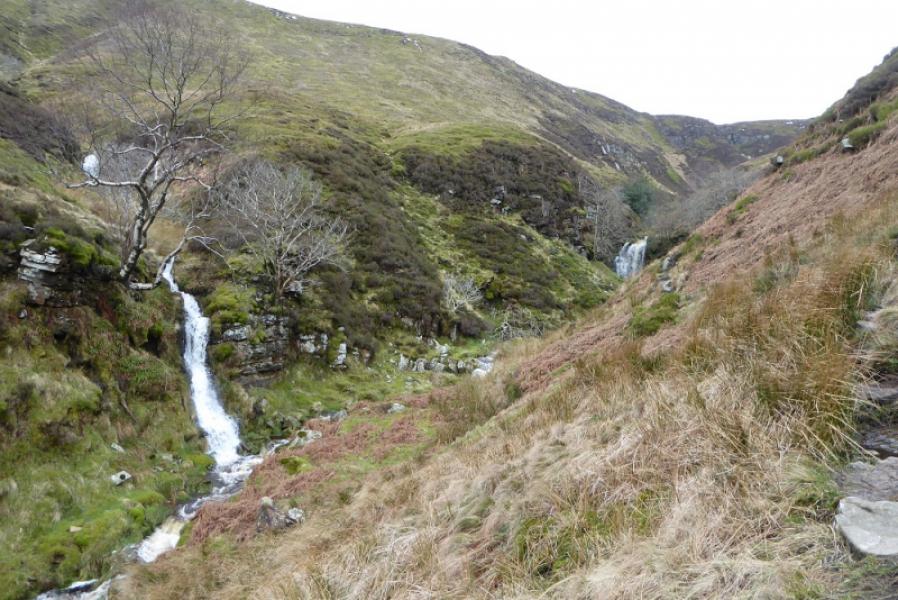
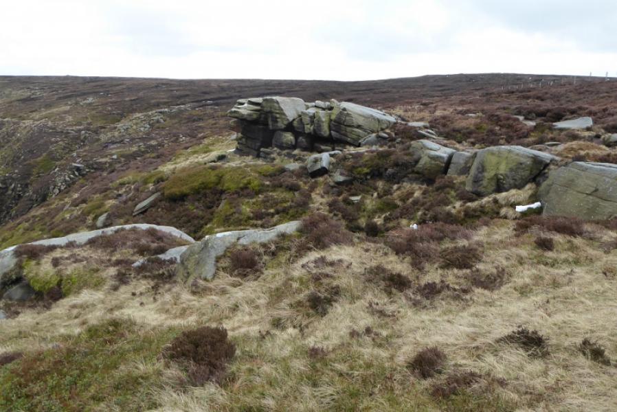
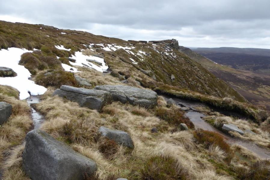
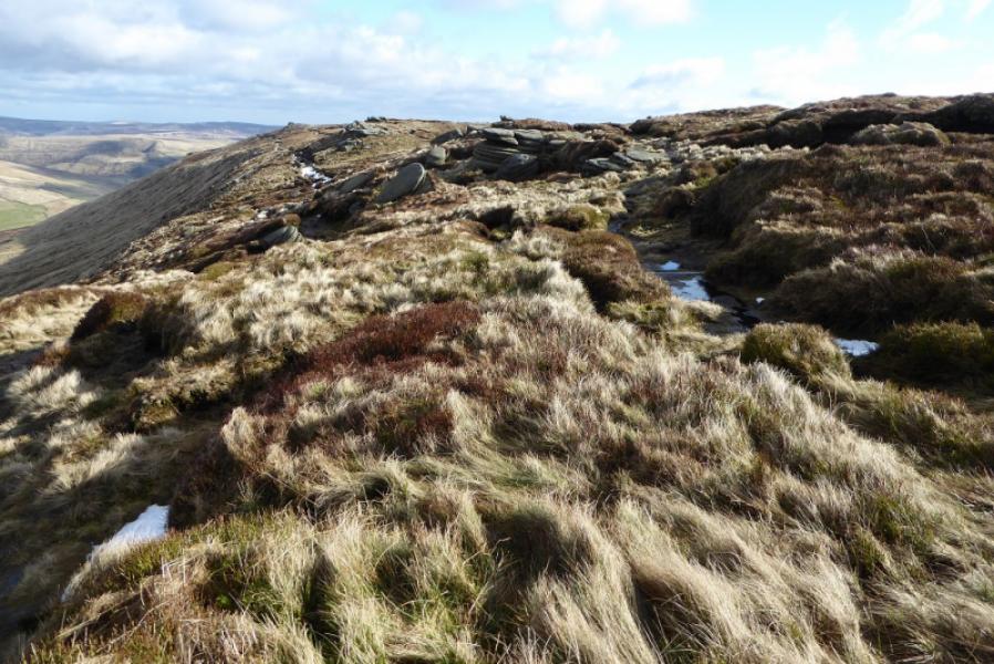
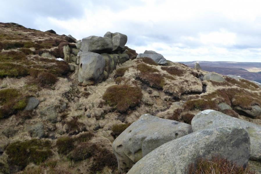
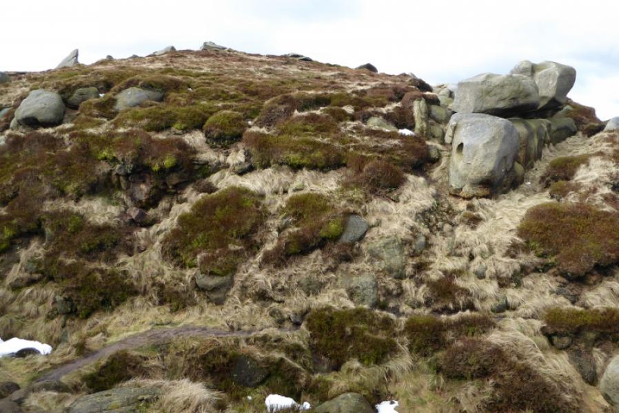
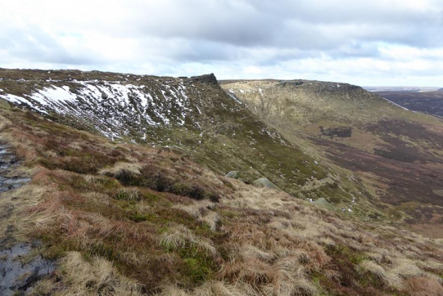
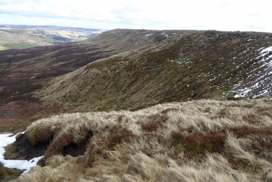
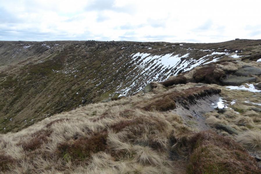
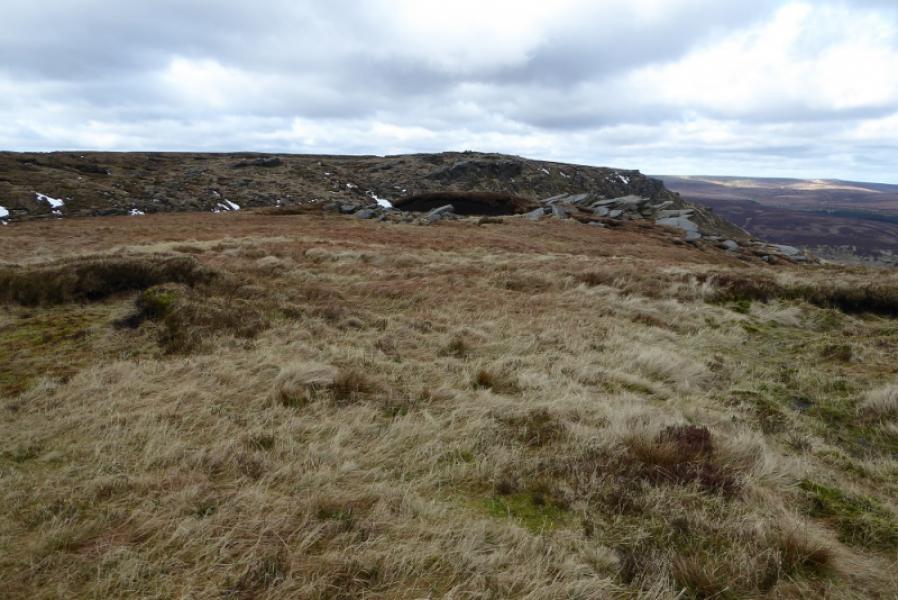
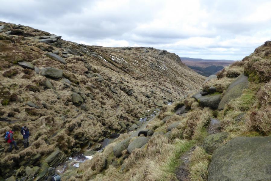
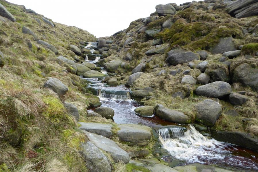
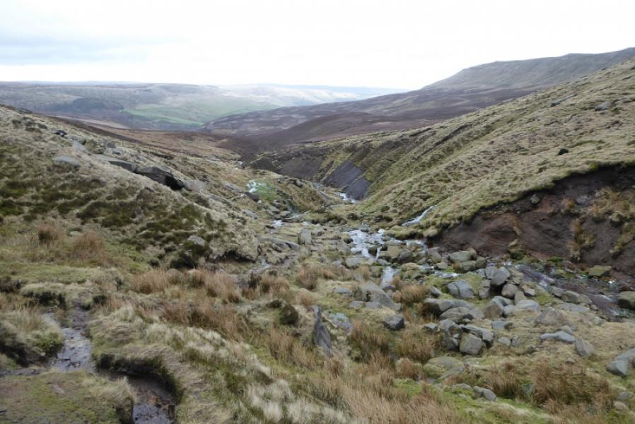
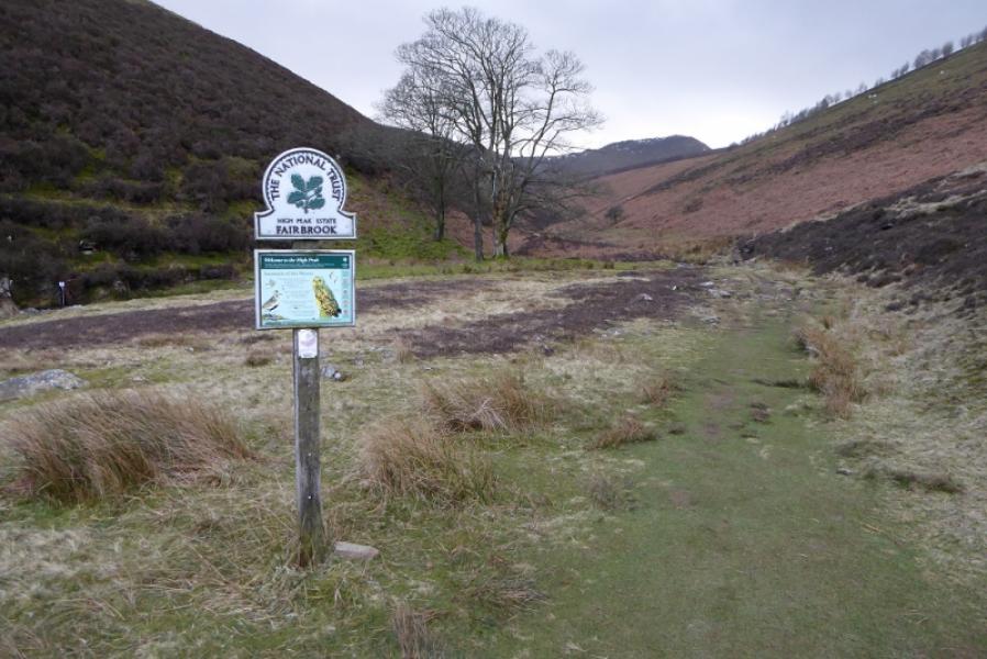
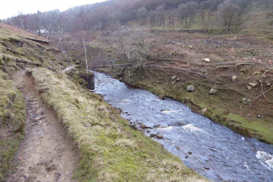
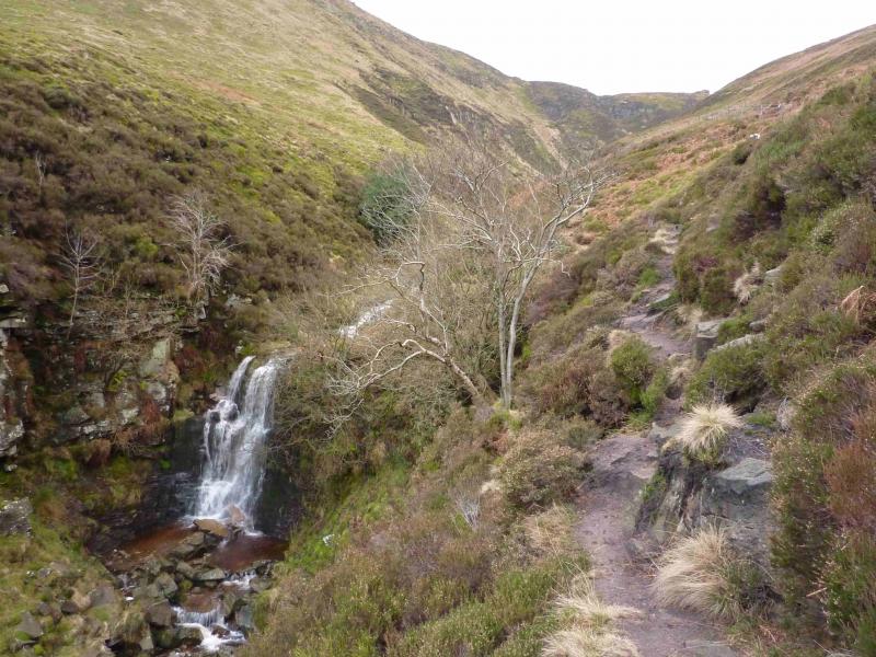
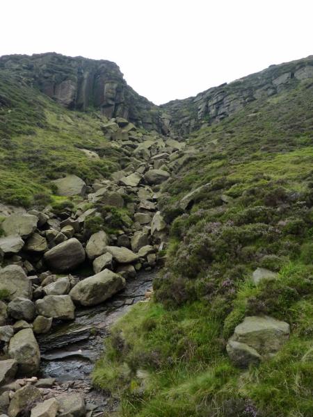
(1) The path starts at a notice board at the lower end of the rough lay by and leads down to an obvious bridge over the River Ashop. On the other side, there are two choices. Either continue ahead, on the obvious path, which follows a wall, above the stream on its E side before dropping down, by a wavy wall, to the stream; or, walk to the obvious buildings, two barns, crossing Blackden Brook en route, then walk up the W bank of Blackden Brook on an obvious path. This route will involve climbing over a low barbed wire fence and is not strictly a footpath whereas the first route is. The two routes converge about 500 m past the barns. Continue on the path, mainly on the W bank. If the path seems too exposed, gain height to ascend higher up above the W bank. Higher up the stream, a prominent waterfall is passed after which the path climbs above the stream. In clear weather, the edge of the plateau and its many rock “sculptures” should be visible. The brook is now heading roughly SW and the final ascent is almost due W. The edge of the plateau is reached when the gradient suddenly eases and the distinctive, but boggy, path along the edge is reached.
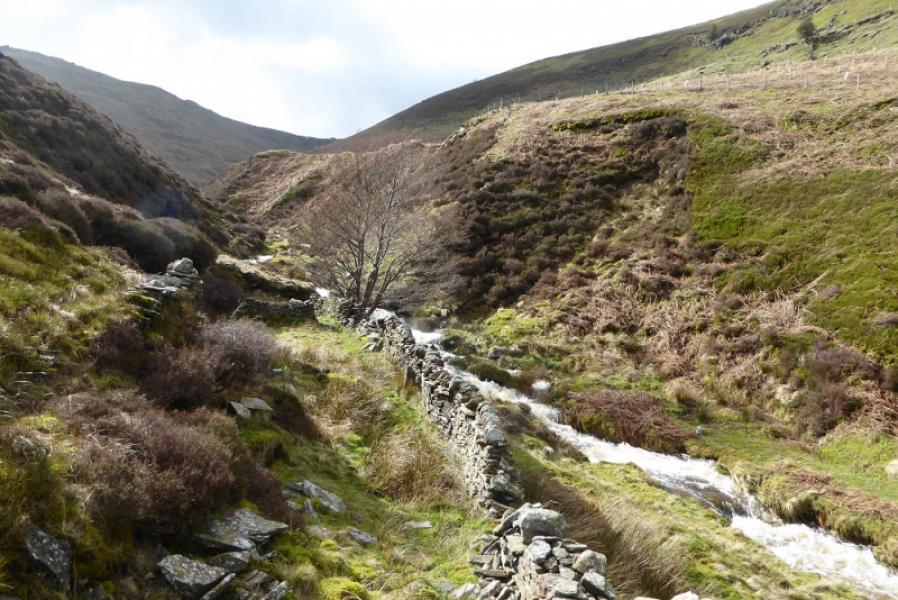
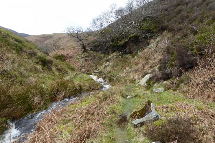
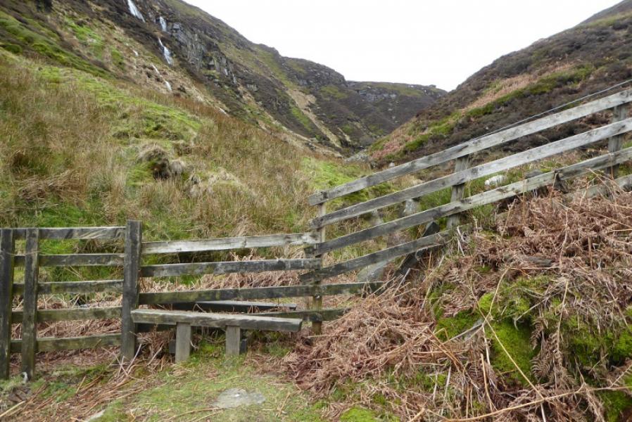
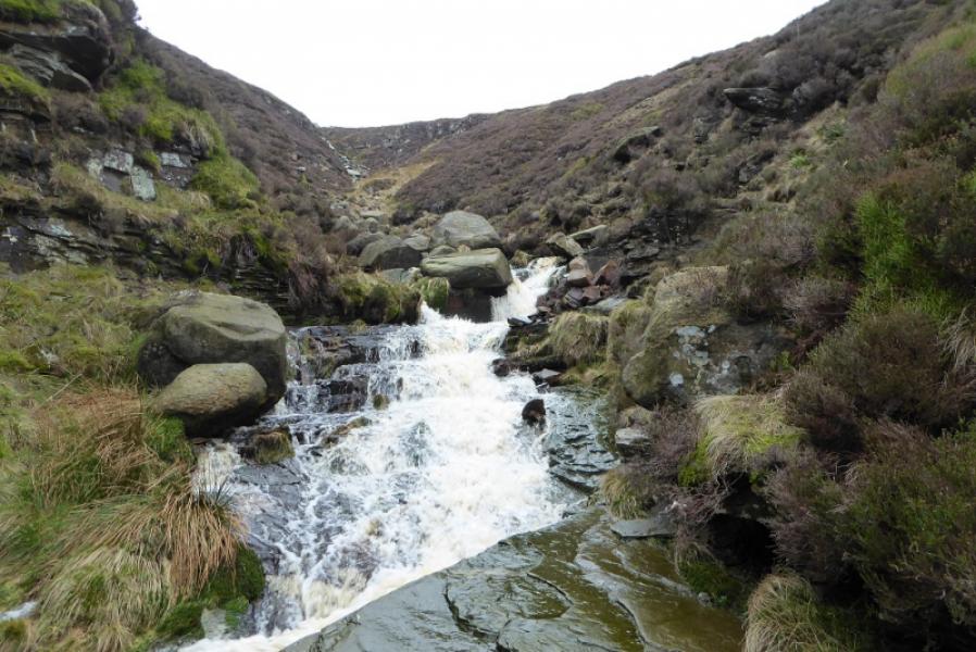
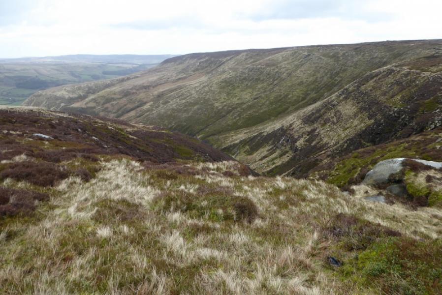
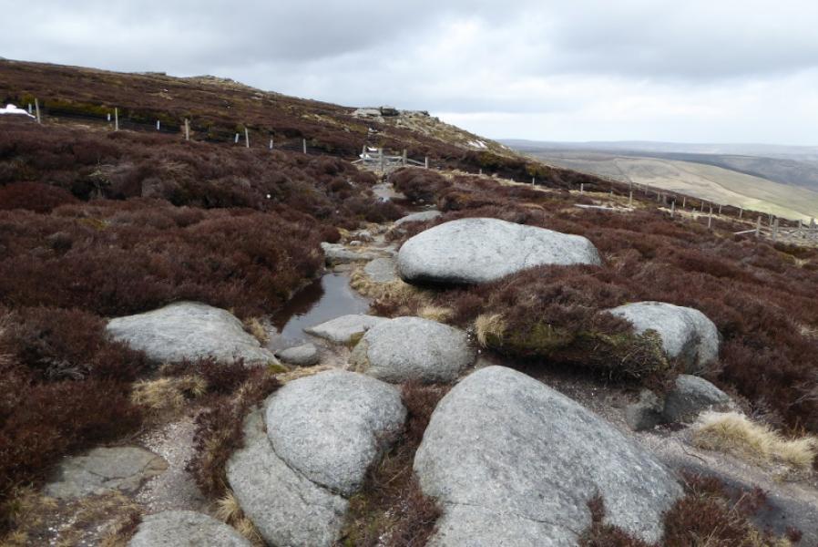
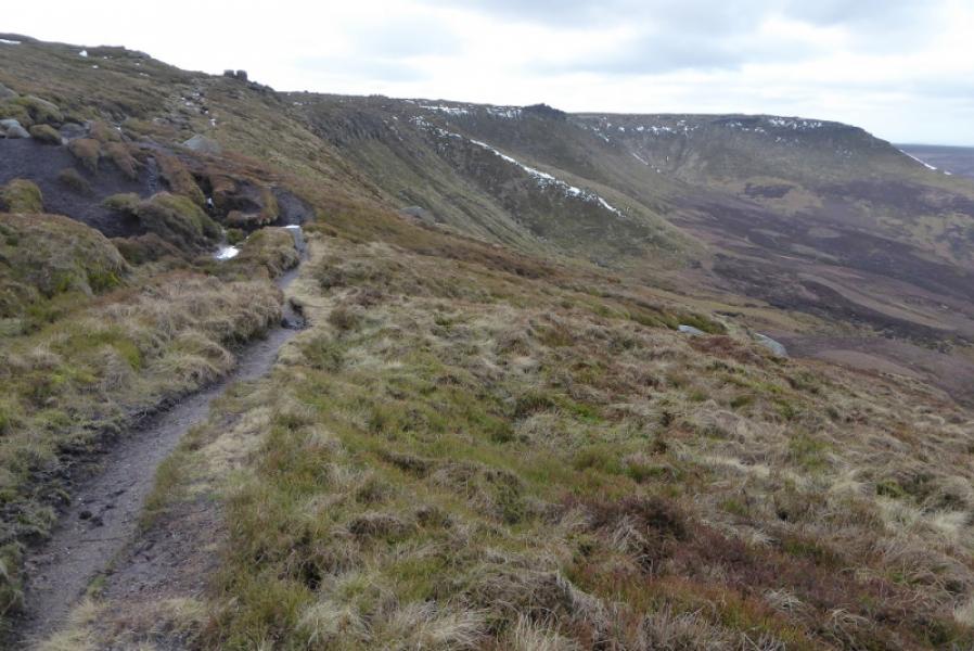
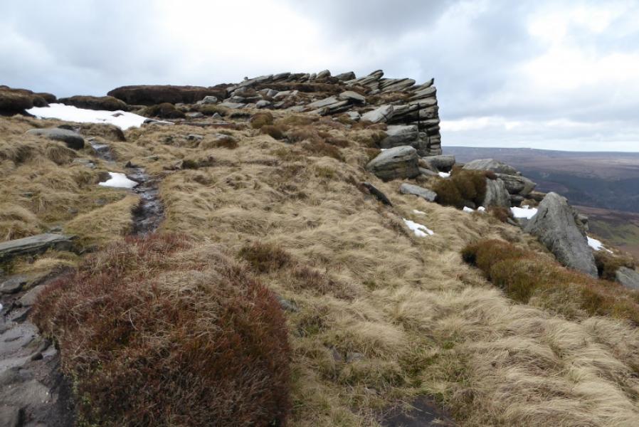
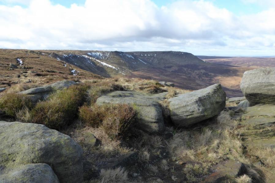
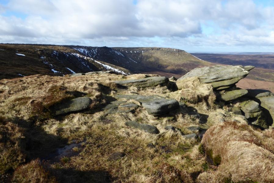
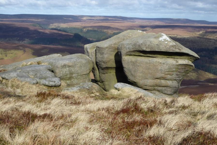
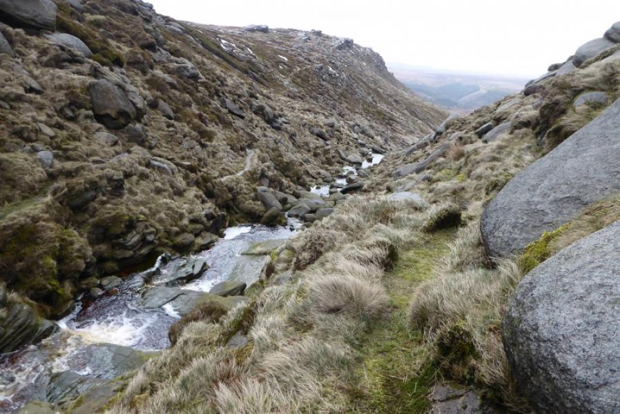
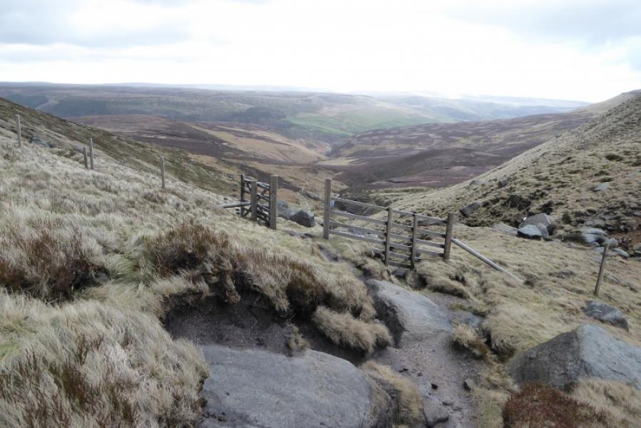
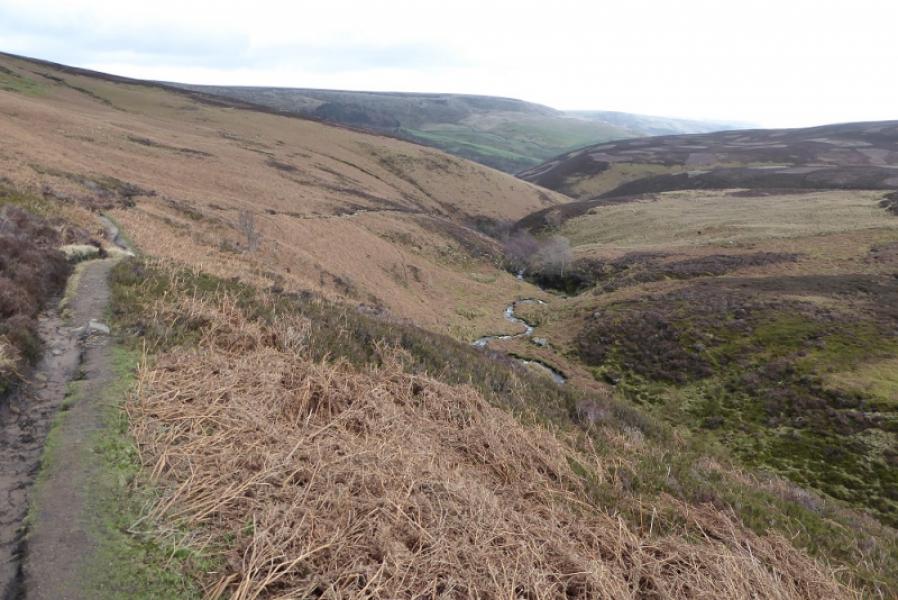
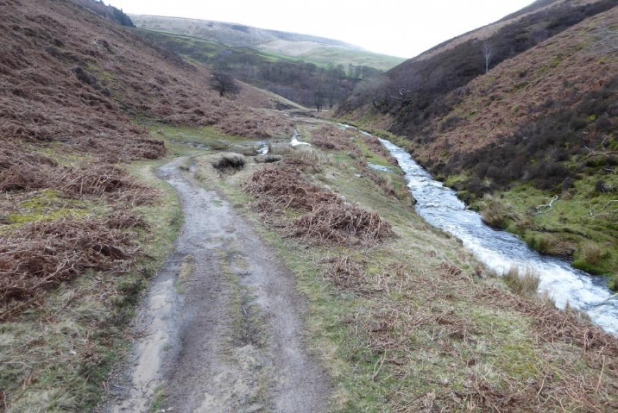
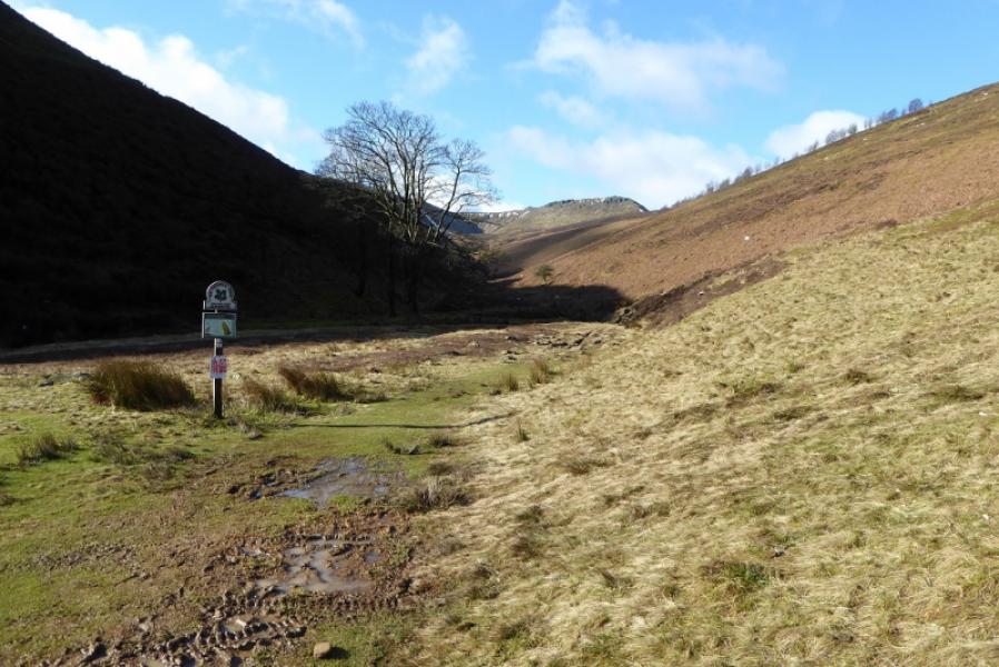
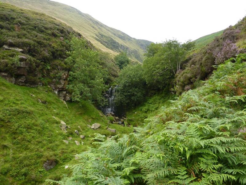
(2) Turn right, N, on to this path and follow it along the edge of the plateau for about 500 m where it turns W, still following the edge of the plateau. This is Seal Edge and there are many outcrops, ideal for a refreshment stop. There is usually a choice of paths. In general, the least boggy path is nearest to the edge. A prominent gully is reached which is the upper section of Fair Brook. Cross this and follow the path down the side of Fair Brook. There is little hint of a path to begin with but it gradually becomes more and more distinct. Follow it down, taking care as it is quite rough in places and very stony which some will find awkward but it is not a scramble. Lower down, the ground becomes much less stony and some small waterfalls are passed. The bottoms of the gullies of Upper Seal Clough, Middle Seal Clough and Nether Seal Clough are very noticeable across the stream. Reach the bottom of the path down Fair Brook, pass the sign and follow the path left to the bridge over the River Ashop. Cross over then head downstream to reach the track which goes up to the road. Walk down the road back to whichever lay by was parked in.
Notes
(a) This walk took place on 14th March, 2019.
Photos - Hover over photo for caption. Click on to enlarge. Click on again to reduce.