Get Lost Mountaineering
You are here: England » Lancashire » Pendle Hill
Pendle Hill from Worston
Pendle Hill from Worston
Start/Finish
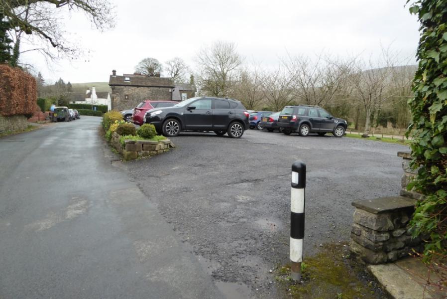
Car park in Worston next to the Calf's Head, BB7 1QA. It is not clear if this is a public car park or belongs to the Calf's Head; there are no signs. Worston is just to the south east of Clitheroe and is well signed off the A59 trunk road.
Distance/Time
11 km. About 3 – 4 hours.
Peaks
Pendle Hill, 557 m, SD 804 404. OS 103: Blackburn, etc. OL 21: South Pennines.
There is also a very detailed map of this area called “Paths Around Pendle” which is published by Duncan Armstrong & Associates, 01282 778591. This is available in the area including the cafe at Barley which is the most common starting point for Pendle Hill.
Introduction
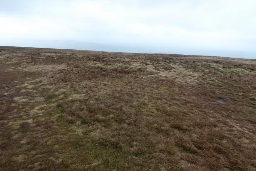
Some may consider Pendle Hill to be of modest height but it dominates the surrounding countryside and is well seen from far away. There are paths and tracks all the way but some can be very muddy after rain.
Route
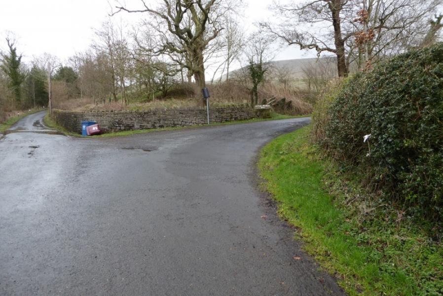
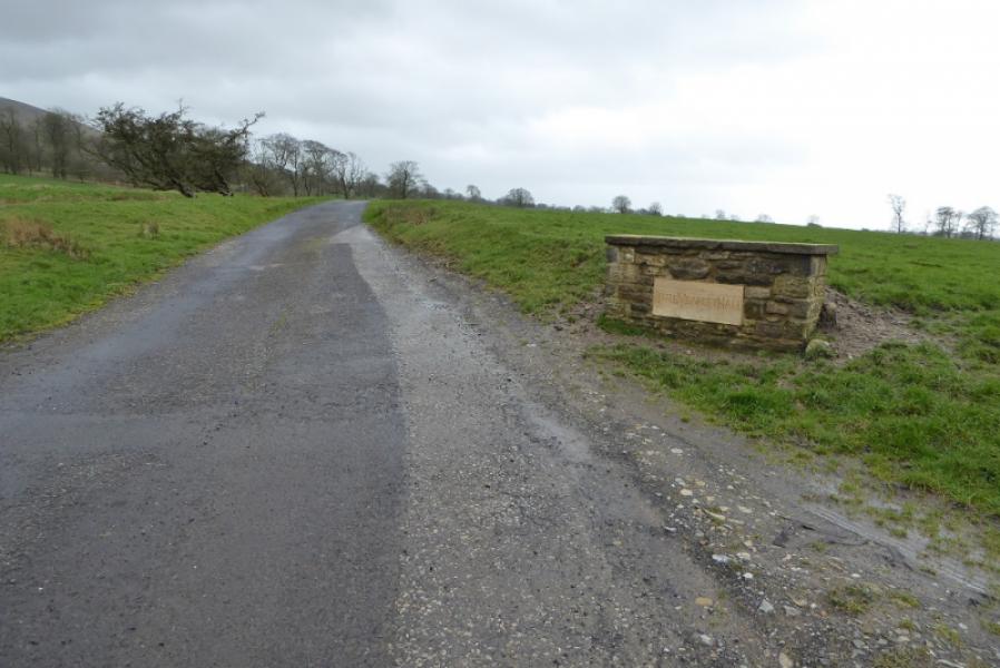
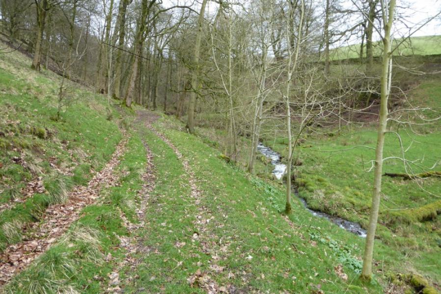
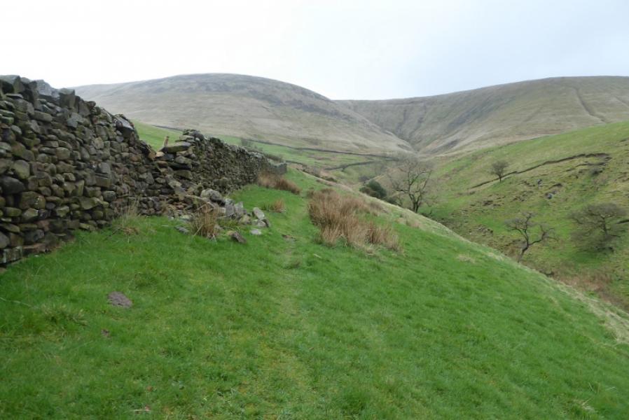
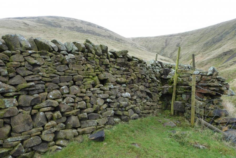
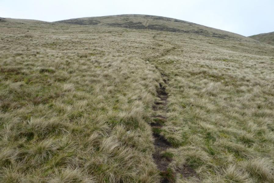
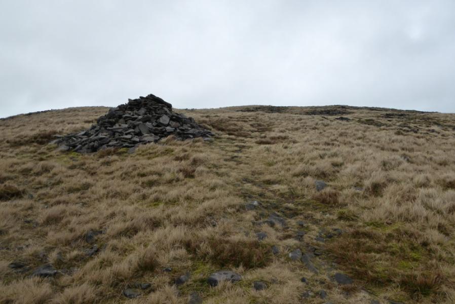
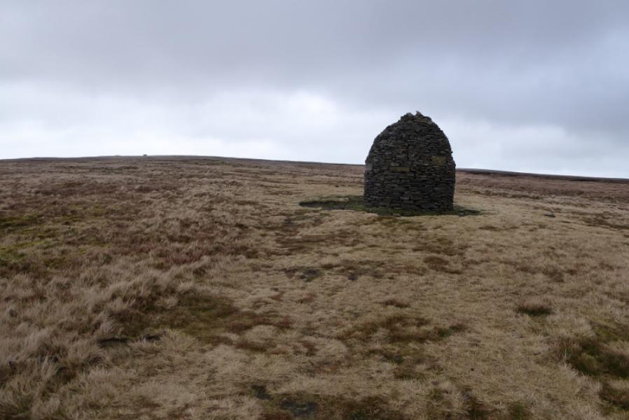
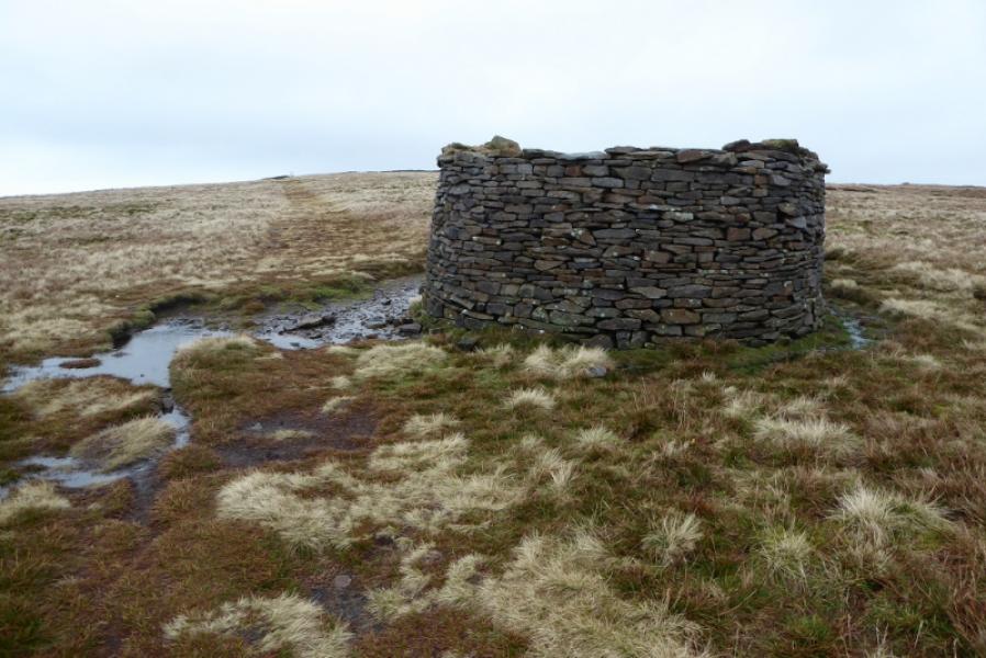
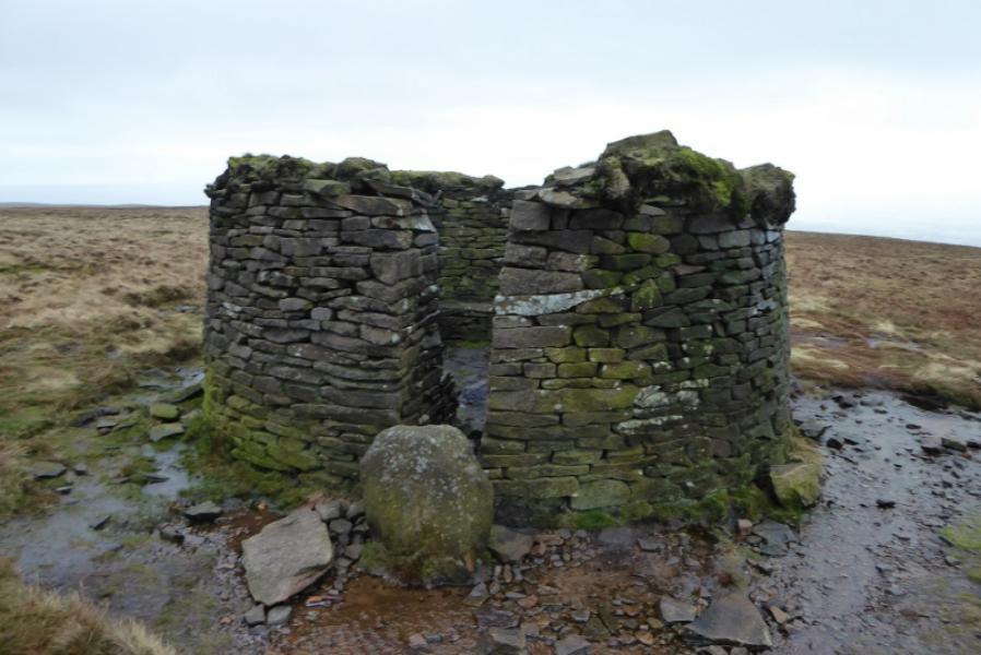
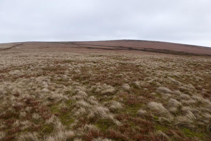
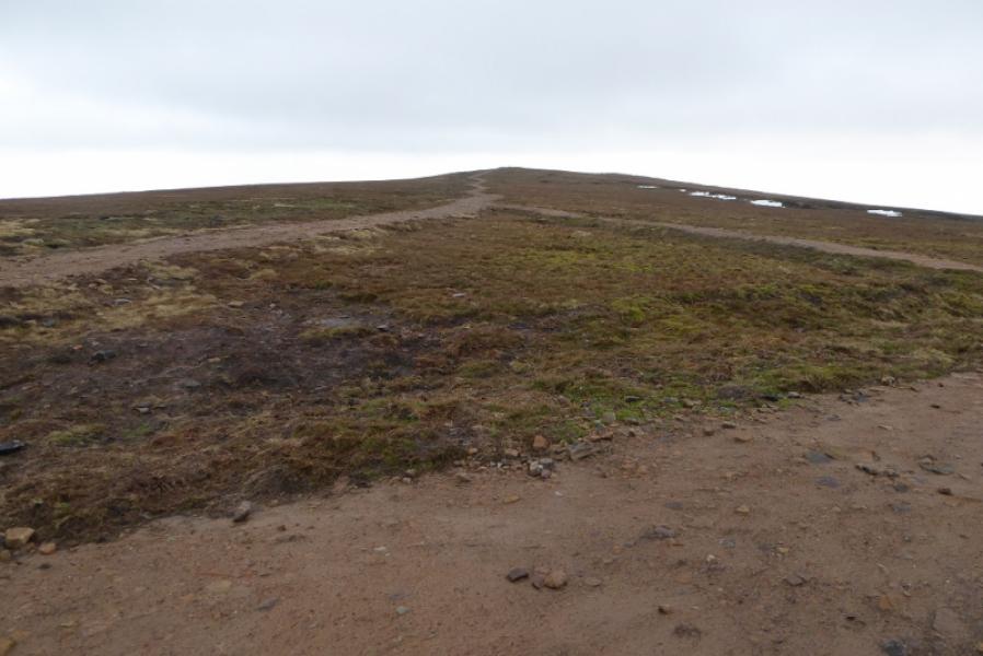
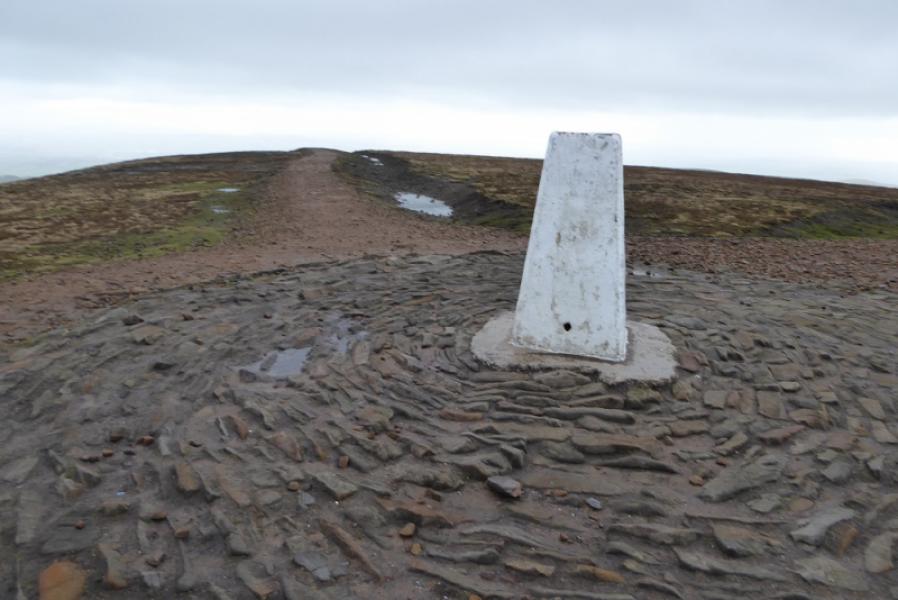
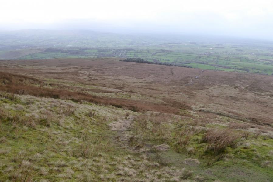
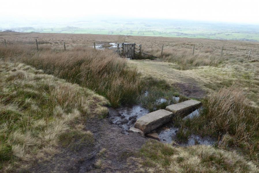
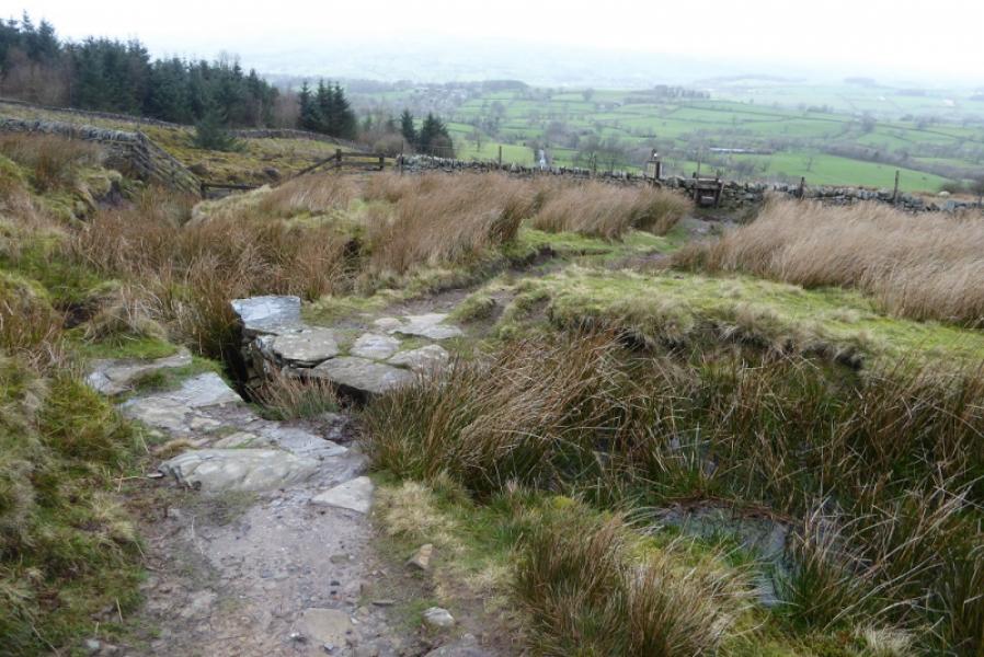
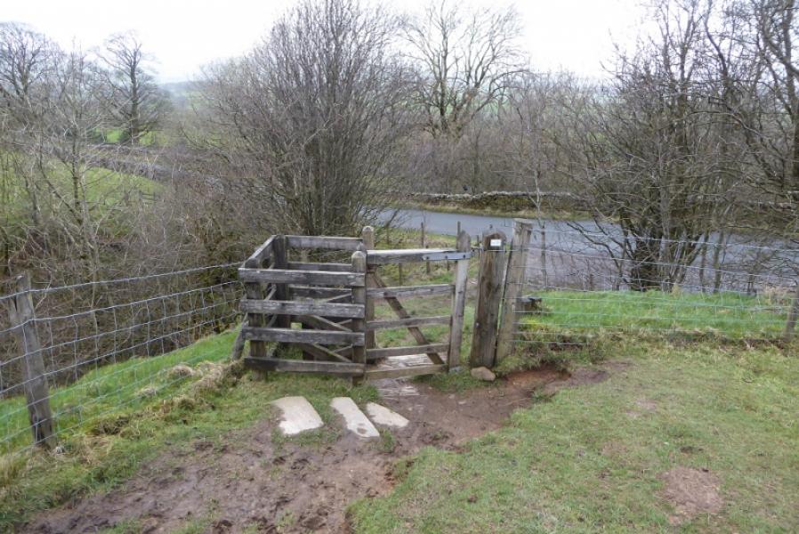
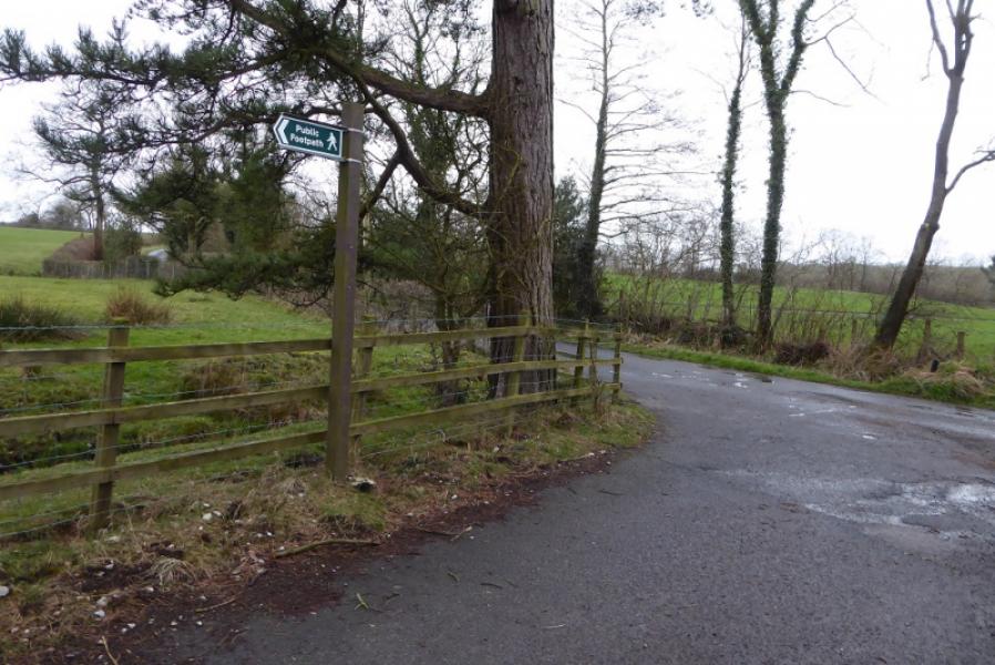
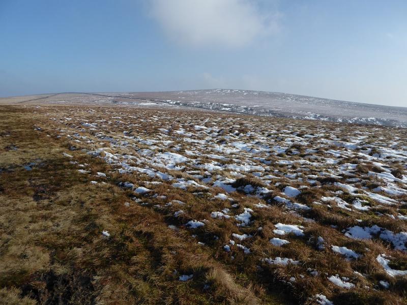
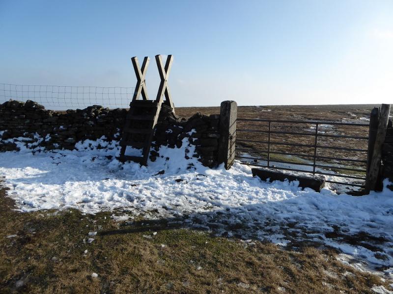
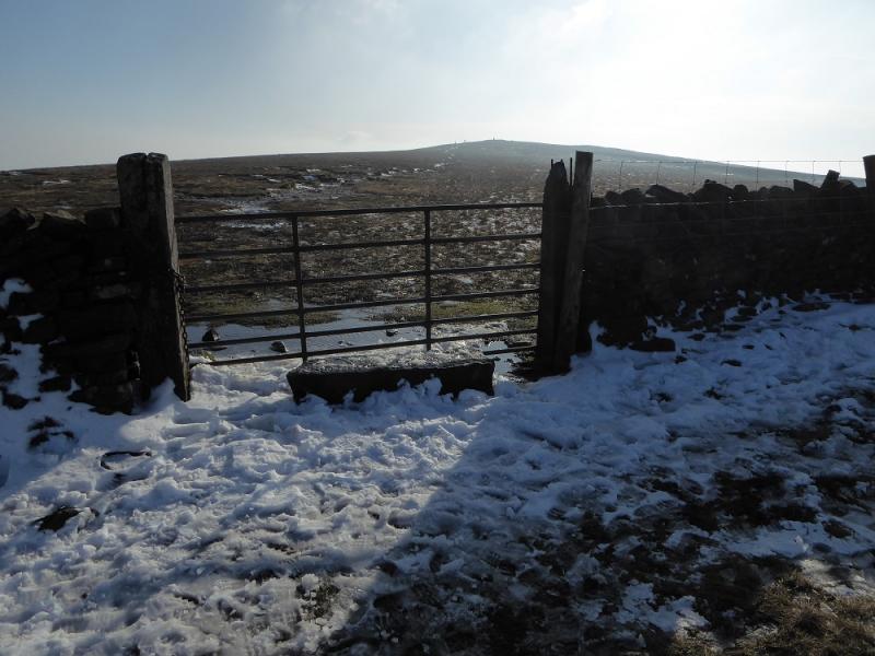
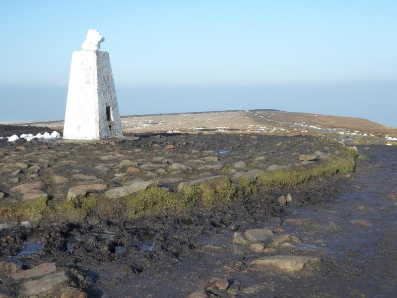
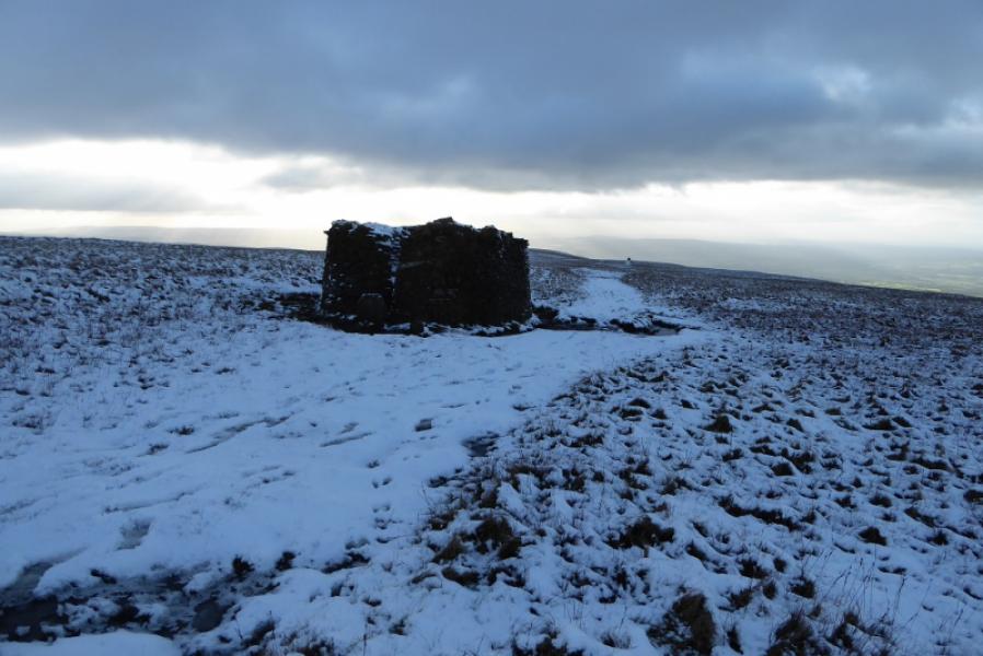
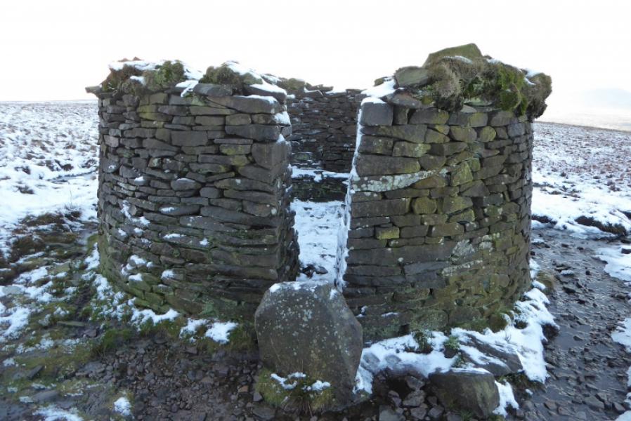
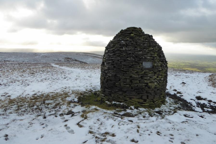
(1) Continue up the road past the Calf's Head and follow the road to a fork just after a seat. Go right which is signed for Little Mearley Hall. Follow the minor road into the Little Mearley Hall estate. Keep going straight ahead and pass through a gate to gain access to a grassy track going into a thin wood with the stream on the right. Continue up and exit the wood then cross the wall by a stile to gain reach open country. The path now climbs fairly steeply up onto Pendle Moor with a cairn marking the top of the steepest section. Continue along the path to reach the Scout cairn then continue further to reach the high walled shelter cairn. Continue to a wall then go roughly SE to reach another wall where the high stile has now been replaced by a metal gate. Follow the obvious path SSW to reach the trig point. This is the summit of Pendle Hill, 557 m.
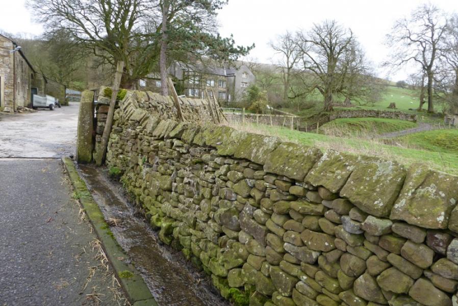
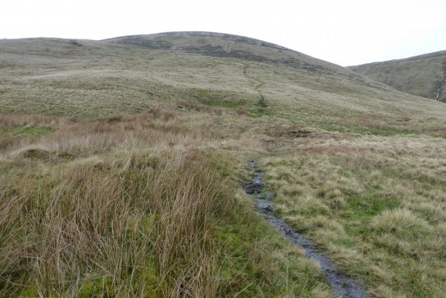
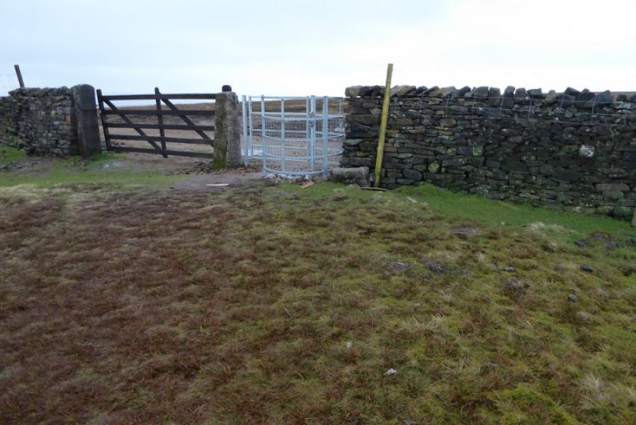
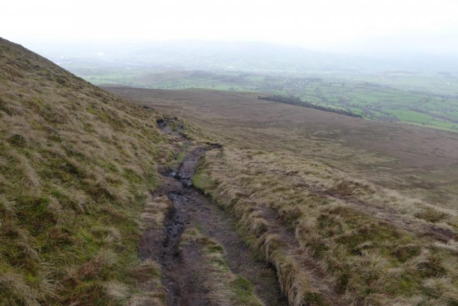
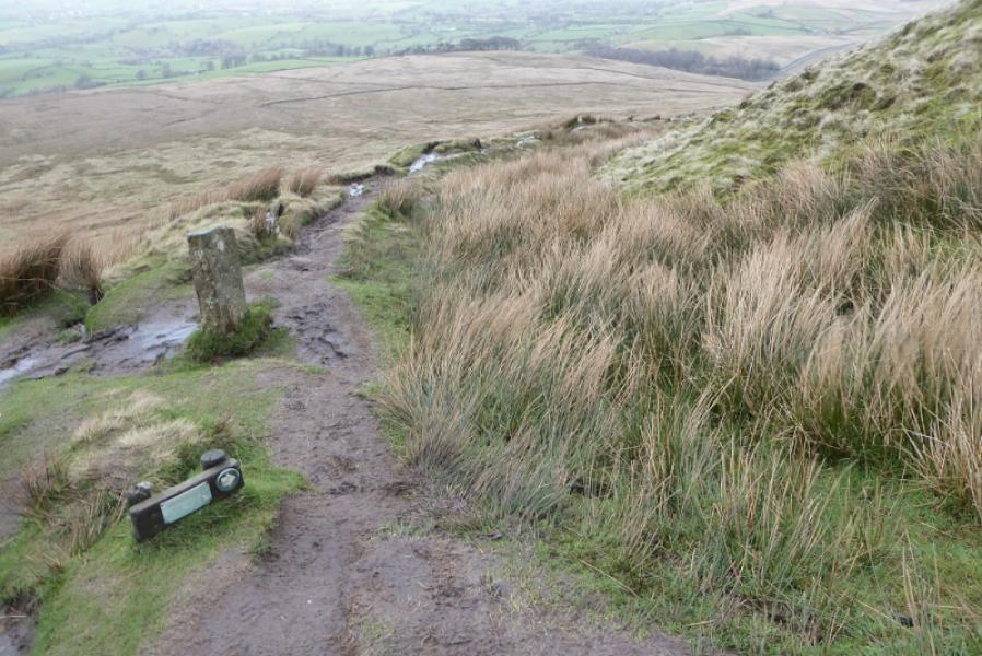
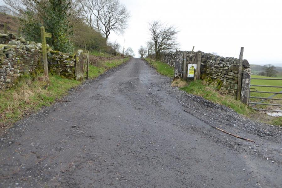
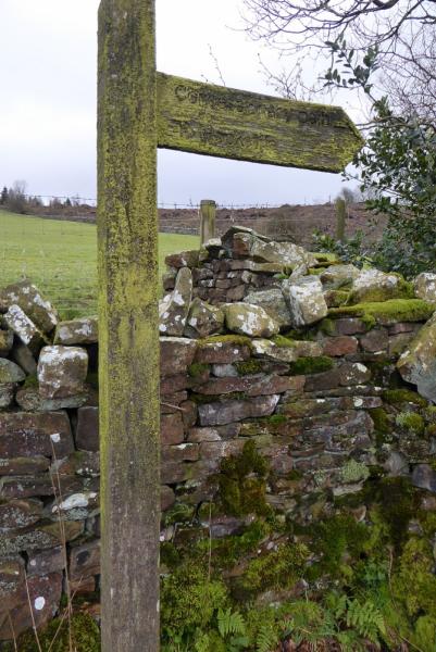
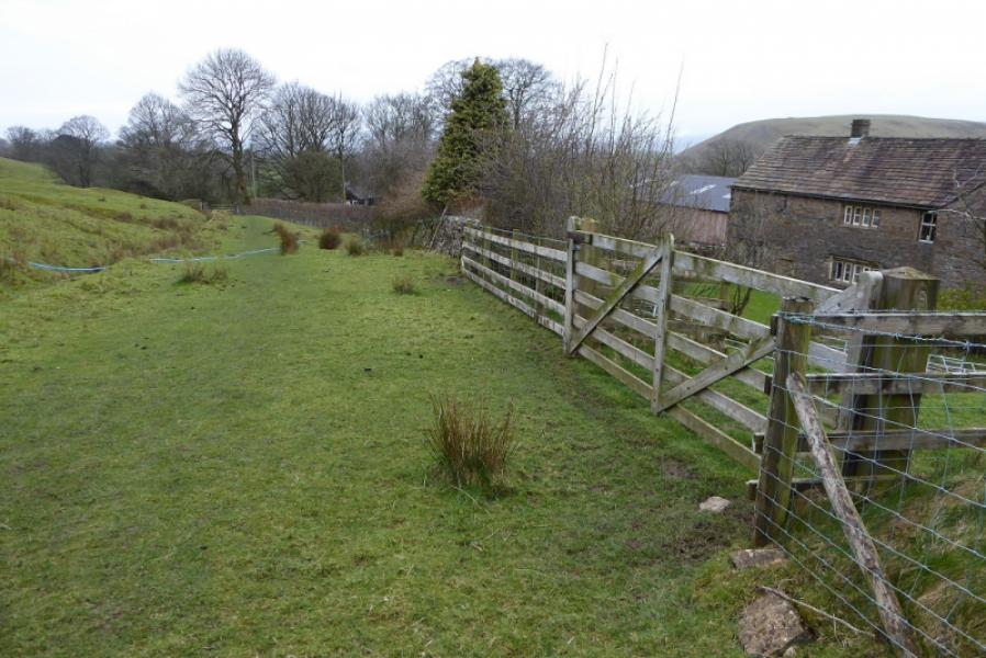
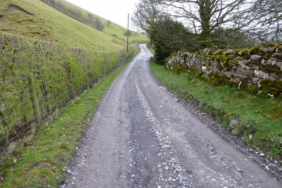
(2) Retrace back the gate in the wall then take the path going due N and follow this as it makes a descending traverse across steep grassy slopes before turning WNW and zig zagging down to Downham Moor. Continue roughly N to reach Pendle Road after passing through 2 gates on the moor and one before the road. Turn left but leave the road on the next corner to take a gravel track sign posted for Hook Cliffe although some maps show this as Rock Cliffe! The track gets very boggy after a while then becomes a grassy path. Continue past Rock Cliffe to reach a rough track. Follow this. It becomes a road and leads W then NNW to end at a T junction. Turn left and follow the meandering road back to Worston.
Notes
(a) This walk took place on 13th March, 2019.
(b) There are many other routes on Pendle Hill which are well worth exploring.
Photos - Hover over photo for caption. Click on to enlarge. Click on again to reduce.