Get Lost Mountaineering
You are here: England » Pennine Way » 4. Hawes to Dufton
1. Hawes to Thwaite via Great Shunner Fell
1. Hawes to Thwaite via Great Shunner Fell
Start/Finish
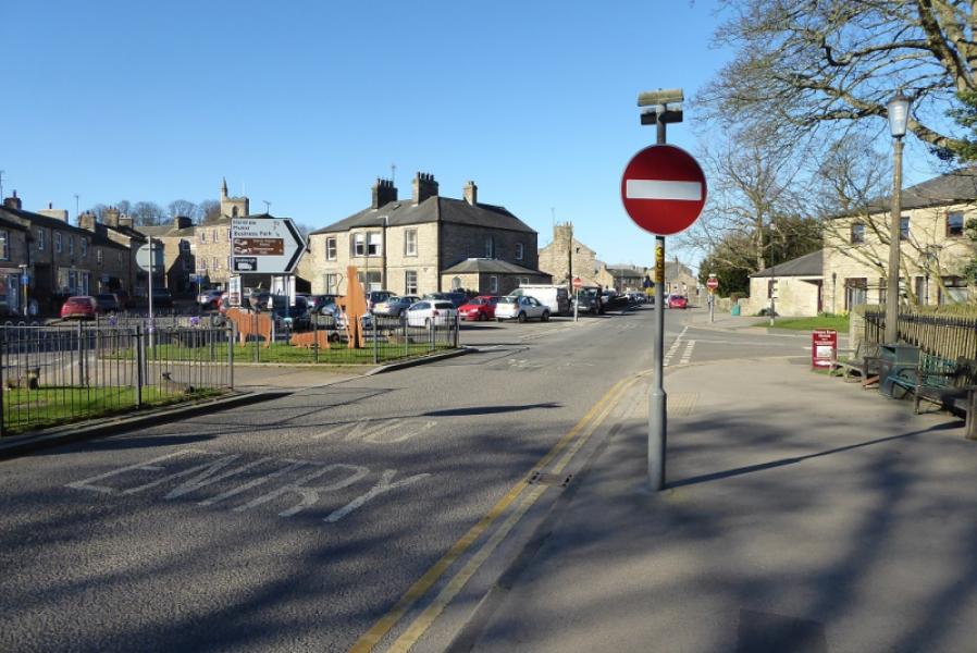
Start of road from Hawes to Hardraw which is by entrance to the Dales Countryside Museum and the restored steam railway. There is a large pay and display car park but, at quiet times, one can park on the main road nearby for free. There are all the usual facilities in the large village of Hawes.
Distance/Time
15 km. About 4 – 5 hours.
Peaks
Great Shunner Fell, 716 m, SD 848 973.
OL30 Yorkshire Dales: Northern & Central Areas
Introduction
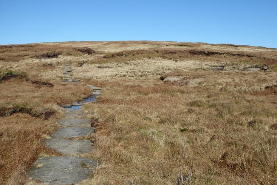
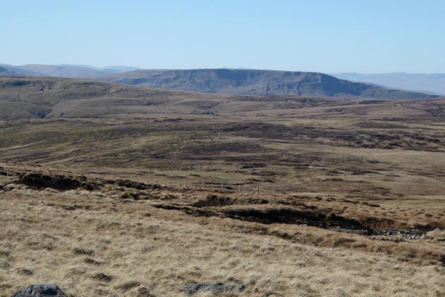
This route is entirely on the Pennine Way. In clear weather it is very easy to follow. There are no difficulties but three long shoulders make the ascent quite strenuous. There are good views throughout but the finest is probably the rocky crest of Wild Boar Fell over to the west. Some of the route has been slabbed. The track reached on the descent is very rough and stony.
Route
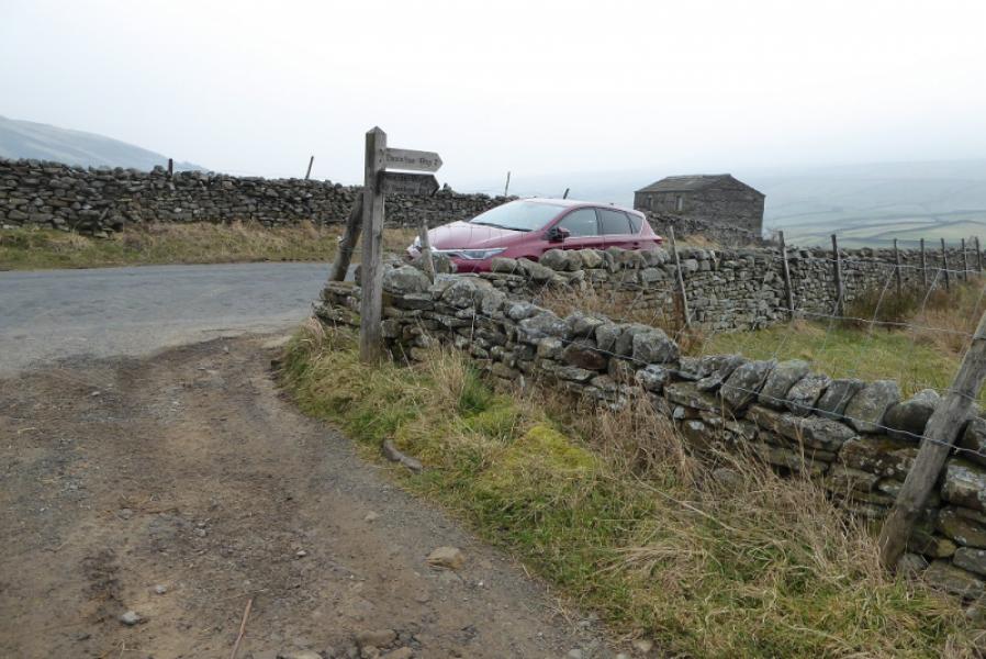
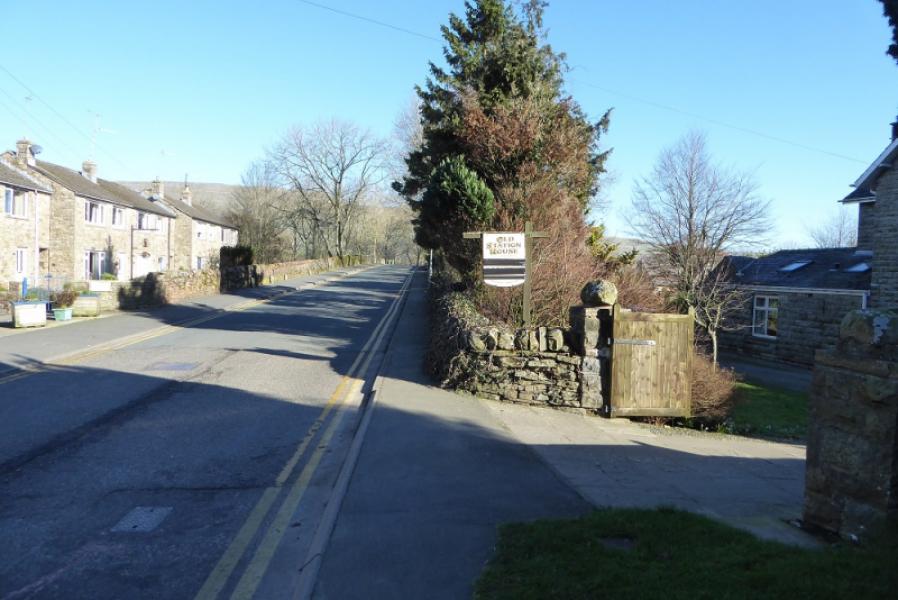
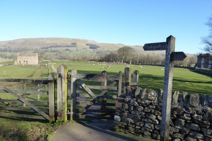
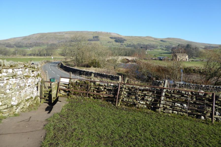
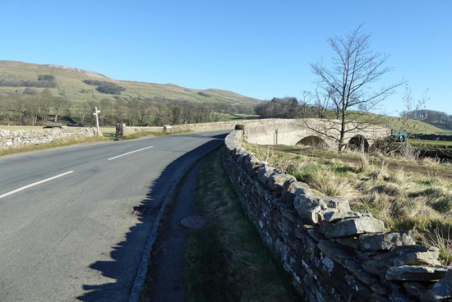
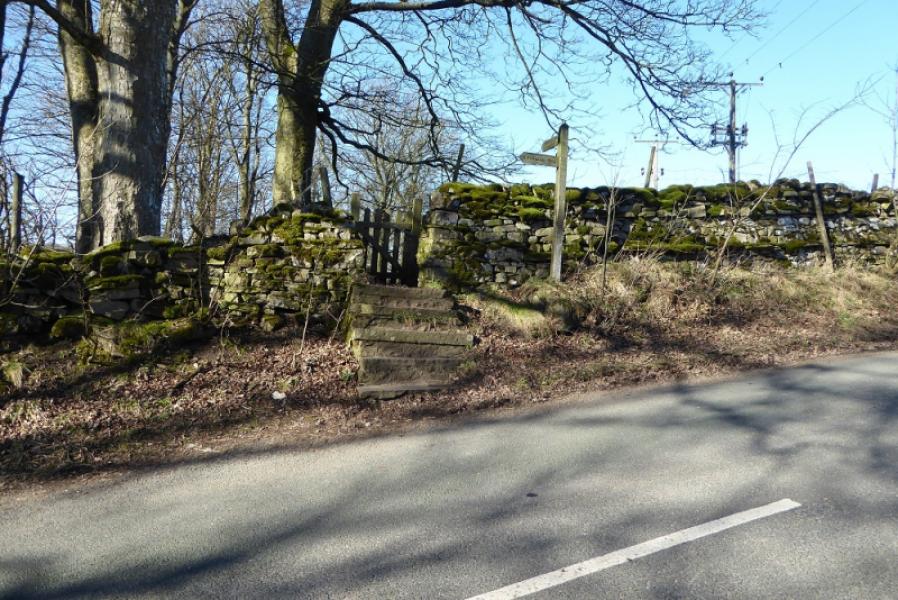
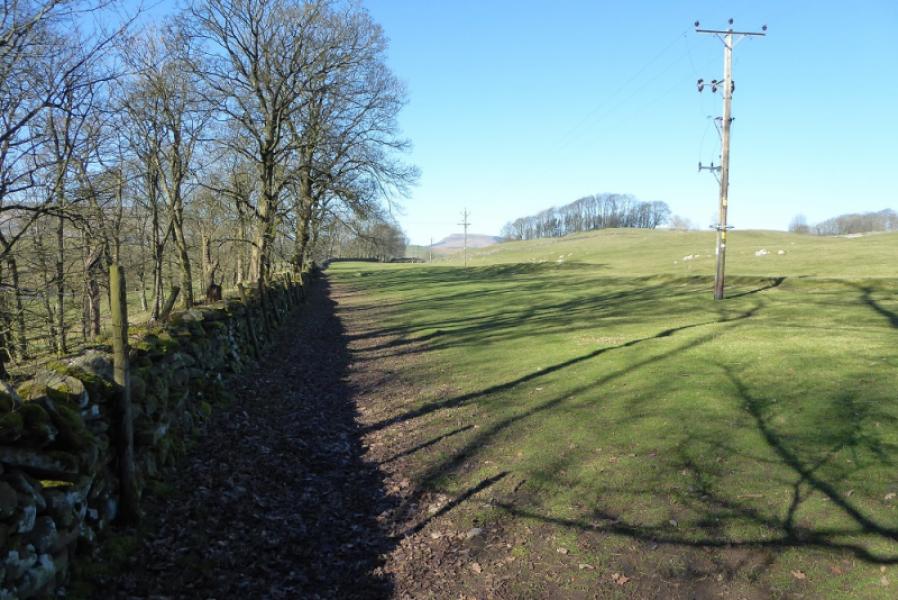
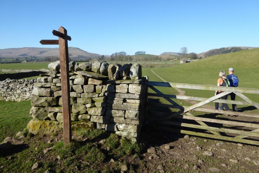
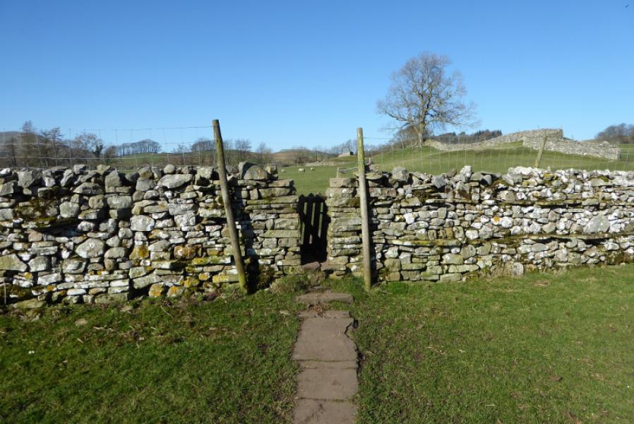
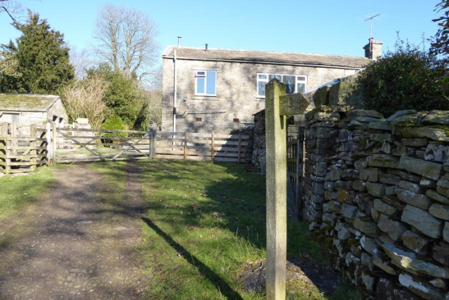
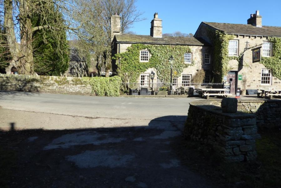
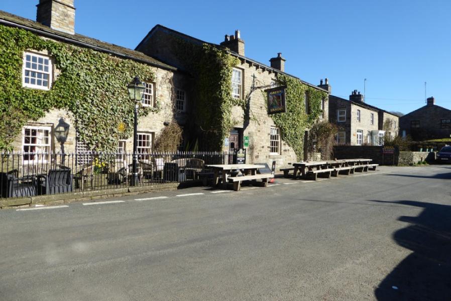
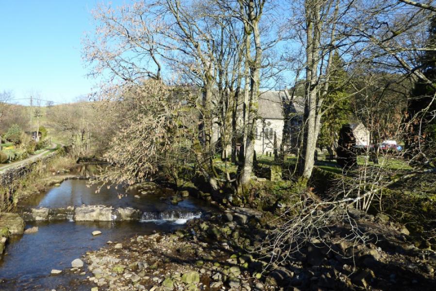
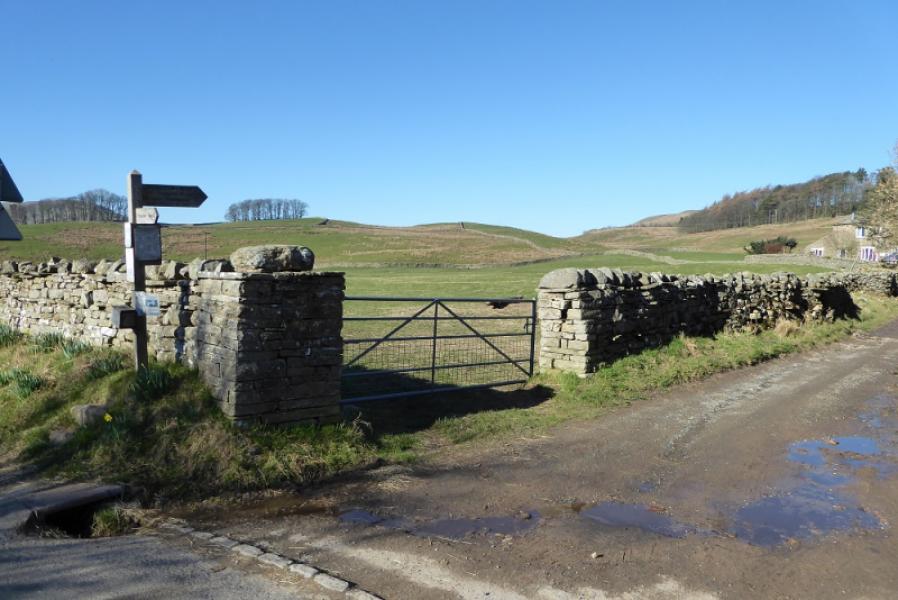
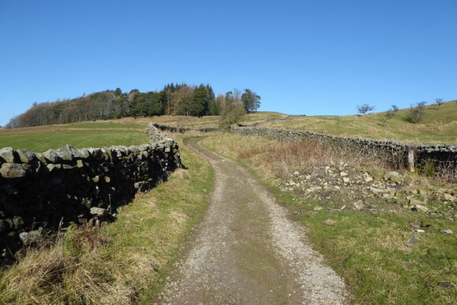
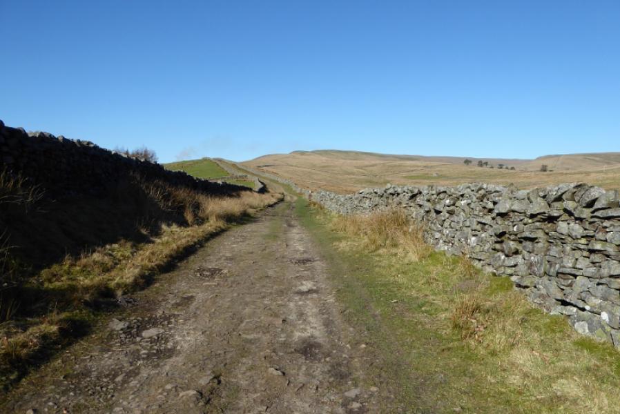
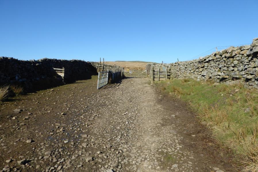
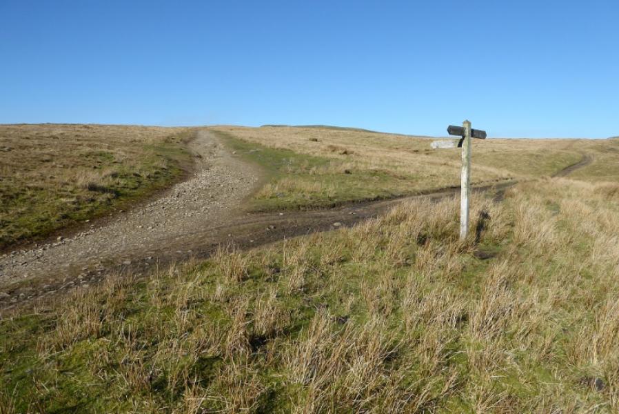
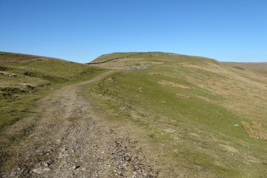
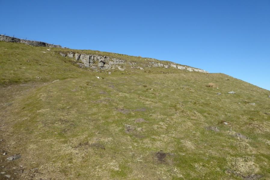
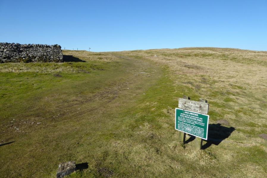
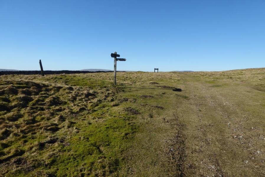
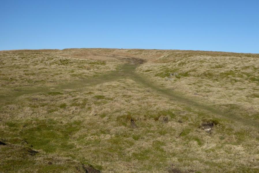
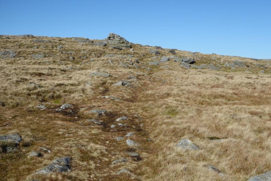
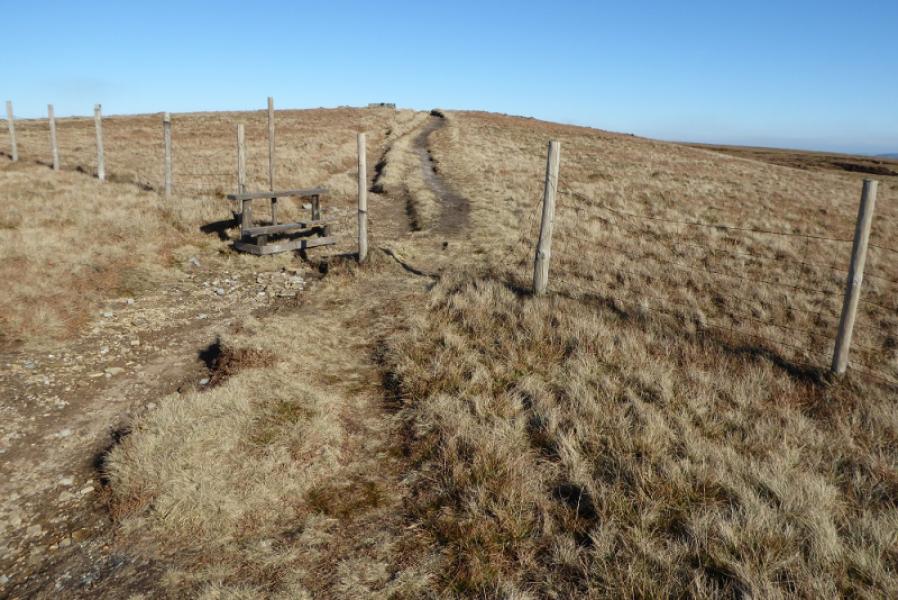
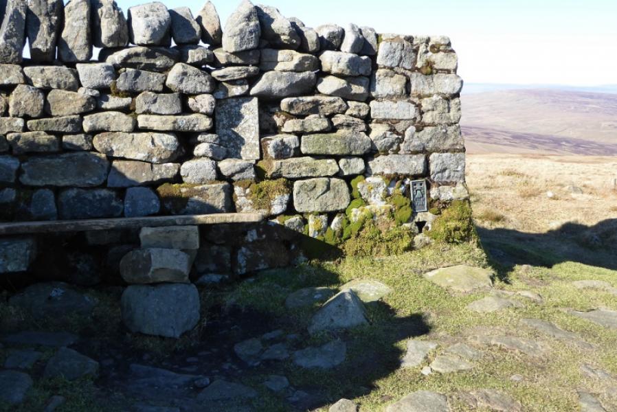
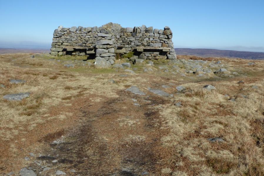
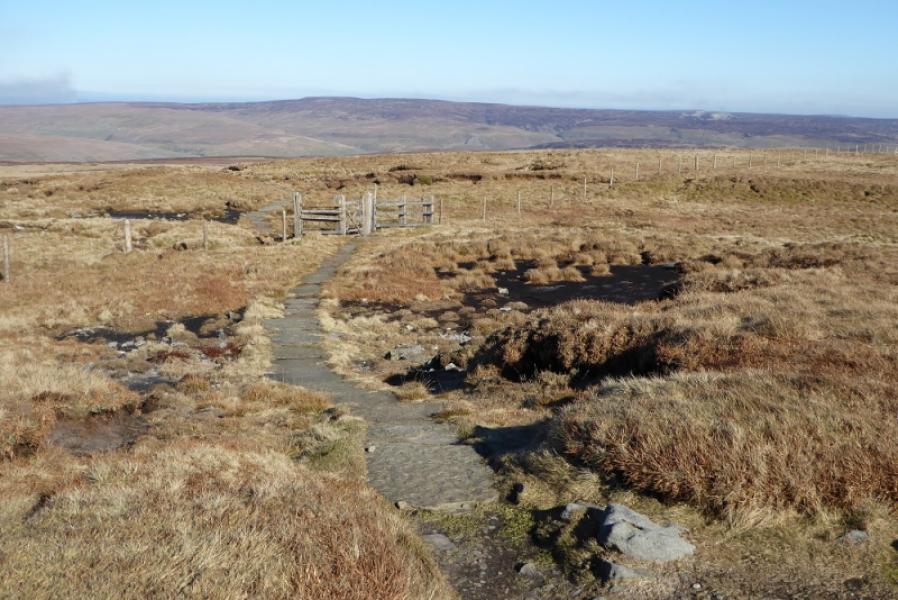
(1) Follow the Hardraw road from Hawes. Go over the old railway and reach a left turn. A gate gives access to the Pennine Way across the left turn. Follow the path to rejoin the road further on then either stay on the road to reach Haylands (arched) Bridge or cross over and follow a path, by the river, to the bridge. Continue on the road and ascend slightly to reach the second path on the left which has a gate up a bank and is signed for the Pennine Way. Follow the Pennine Way, in an almost straight line, through a few gates to reach the road in Hardraw almost opposite the Green Dragon pub. Turn left and cross the bridge over the stream by the church. Continue past the old school where the Pennine Way (signed) goes N on an obvious track. Follow the track and pass a wood then continue up, passing through a few gates. There are signs at each path junction saying either Pennine Way or displaying the acorn symbol. The route starts N then goes NW before turning back N and is up a very broad ridge in places. The last of the three long shoulders leads to the rough, grassy summit plateau then, through a fence, to the shelter cairn which is a cross with stone seats in each quarter. The trig point is integrated into the northern arm of the cross. This is the summit of Great Shunner Fell, 716 m.
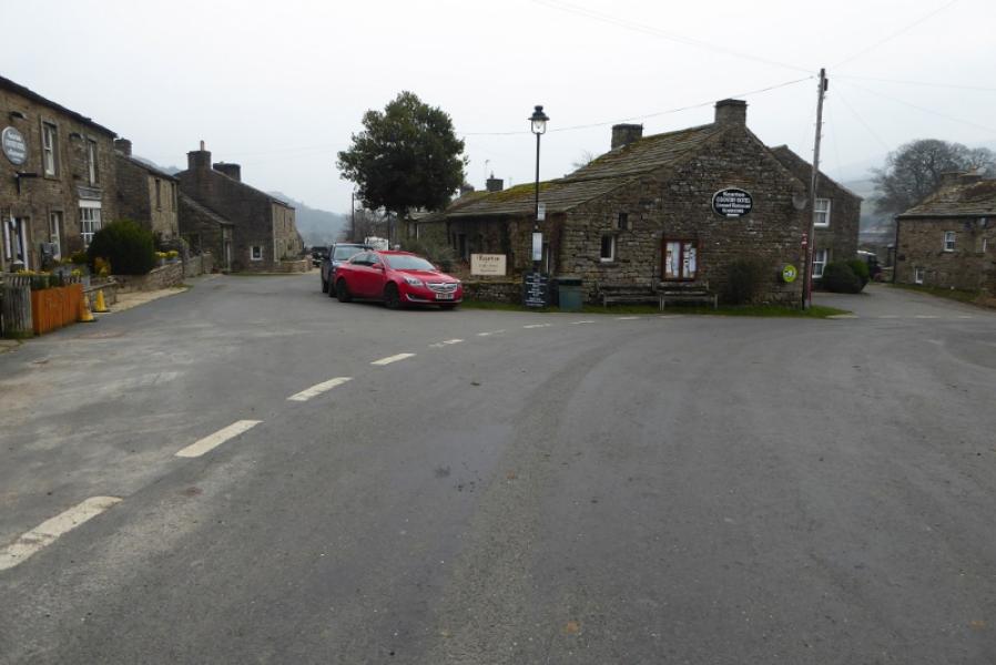
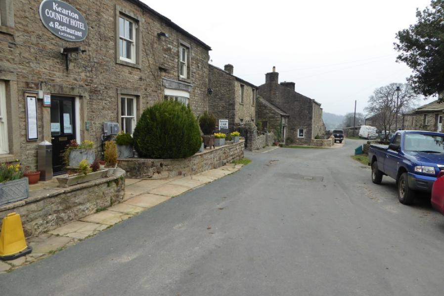
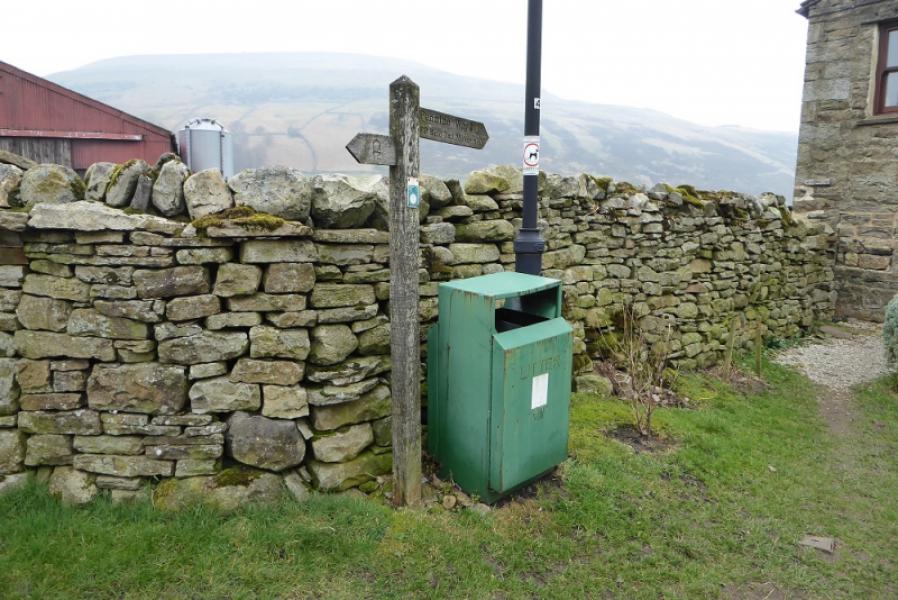
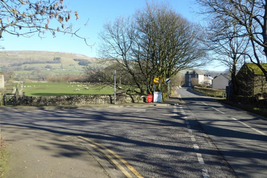
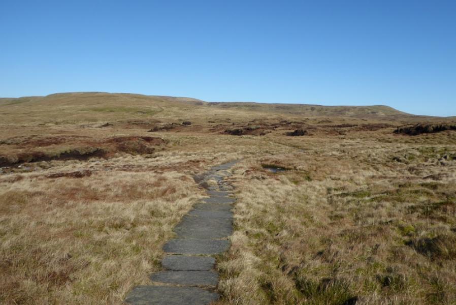
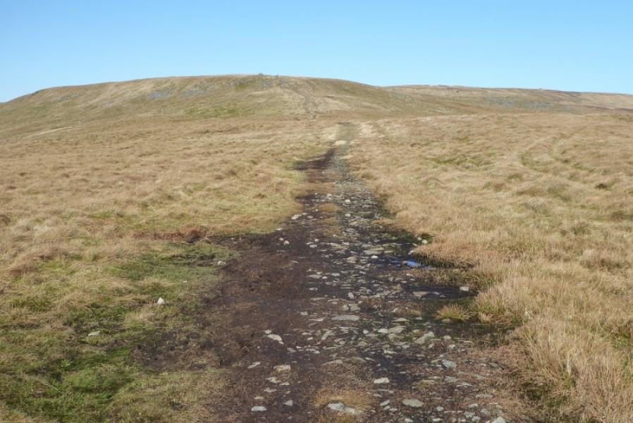
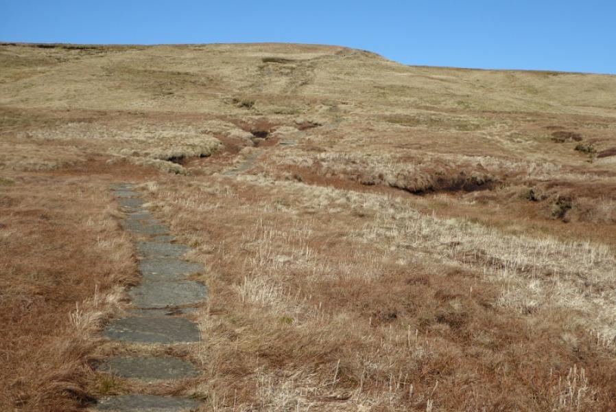
(2) Descend NE from the summit to soon reach a gate. Follow the path down some awkward cobbled steps then continue to pass a tall stone beacon. Descend to a dip then ascend NE where the path curves round to turn ESE. Continue on the path, most of which is slabbed, and passes through much featureless rough ground. Nearly 4 km from the summit, reach the end of a track. Follow this for about 1.5 km with some rough and very stony sections to reach a tarmac road. Turn R and walk downhill for about 300 m to enter the small village of Thwaite. The continuation of the Pennine Way goes left, past the Kearton Country Hotel to a sign further down this short road which directs one out of the village.
Notes
(a) This is a composite walk compiled from walks which took place on 26th and 28th February, 2019.
Photos - Hover over photo for caption. Click on to enlarge. Click on again to reduce.


![]()