Get Lost Mountaineering
You are here: England » Yorkshire Dales » Western Area
Horton-in-Ribblesdale to Hawes on Pennine Way from Hawes via Bus and Train
Horton-in-Ribblesdale to Hawes on Pennine Way from Hawes via Bus and Train
Start/Finish
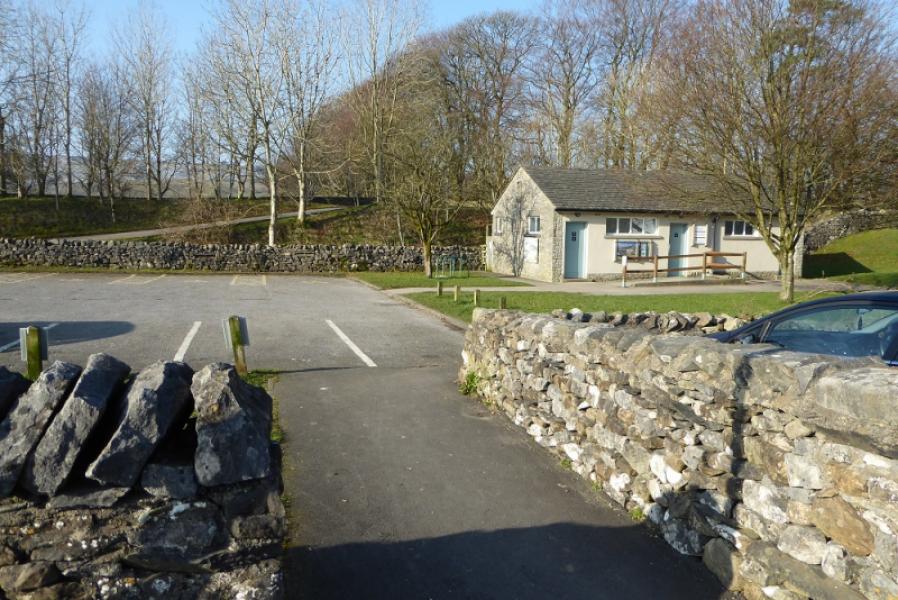
Hawes which is on the A684 from Leyburn to Sedbergh. There are plenty of spaces in car parks although, at quiet times, there is free parking on the roads. The actual start, for the bus, is opposite the Market House (just along from the Spar) and outside the Board Inn.
Distance/Time
20 km. About 6 hours.
Peaks
No peaks as such but the highest point reached is about 580 m.
OL2 Yorkshire Dales: Western Area
Introduction
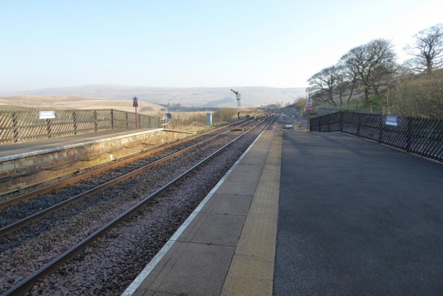
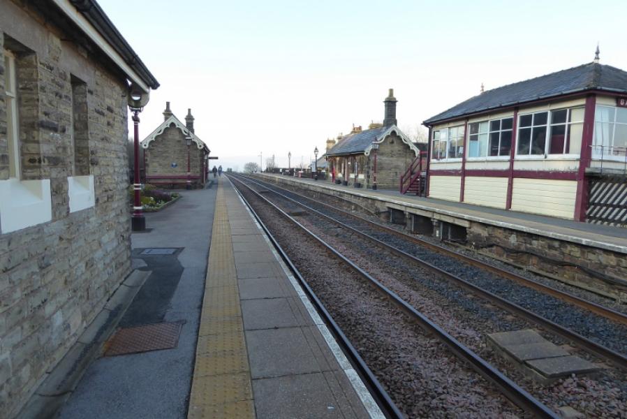
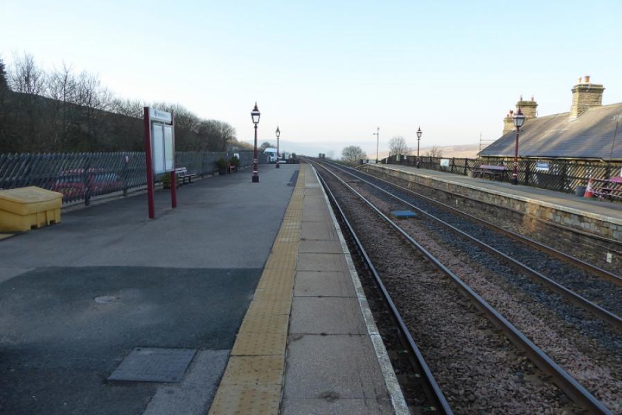
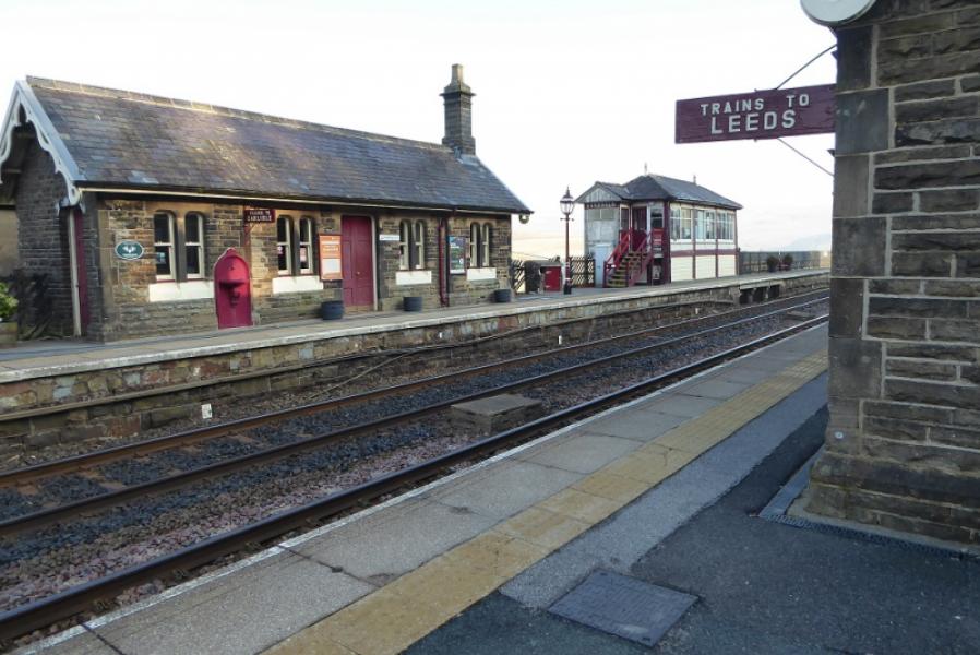
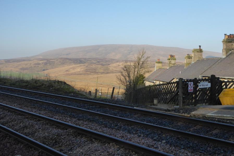
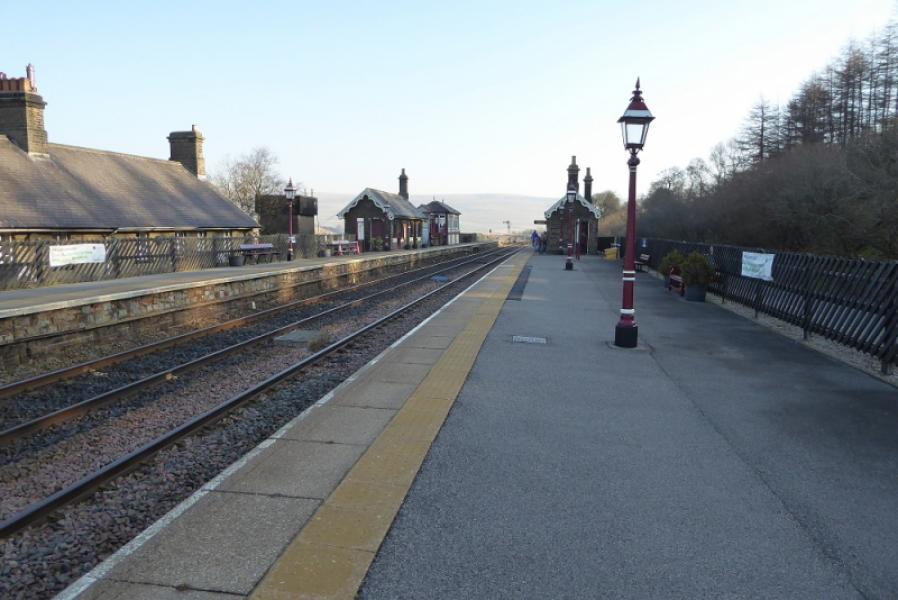
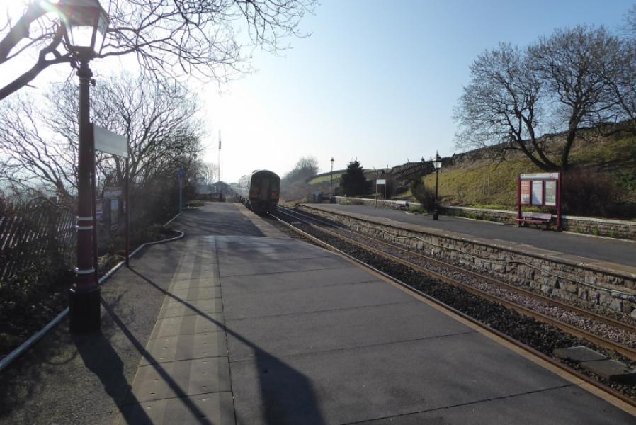
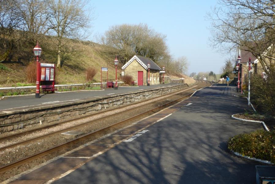
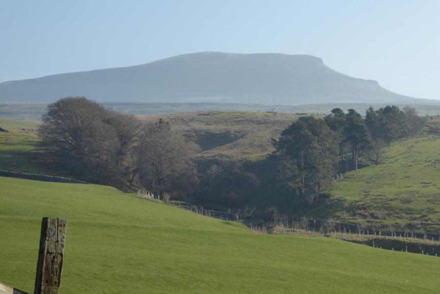
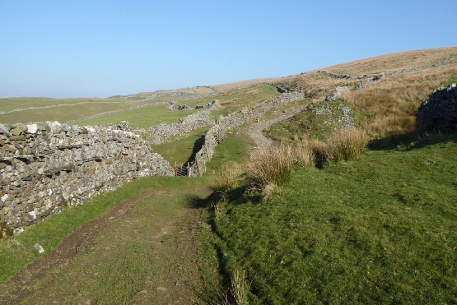
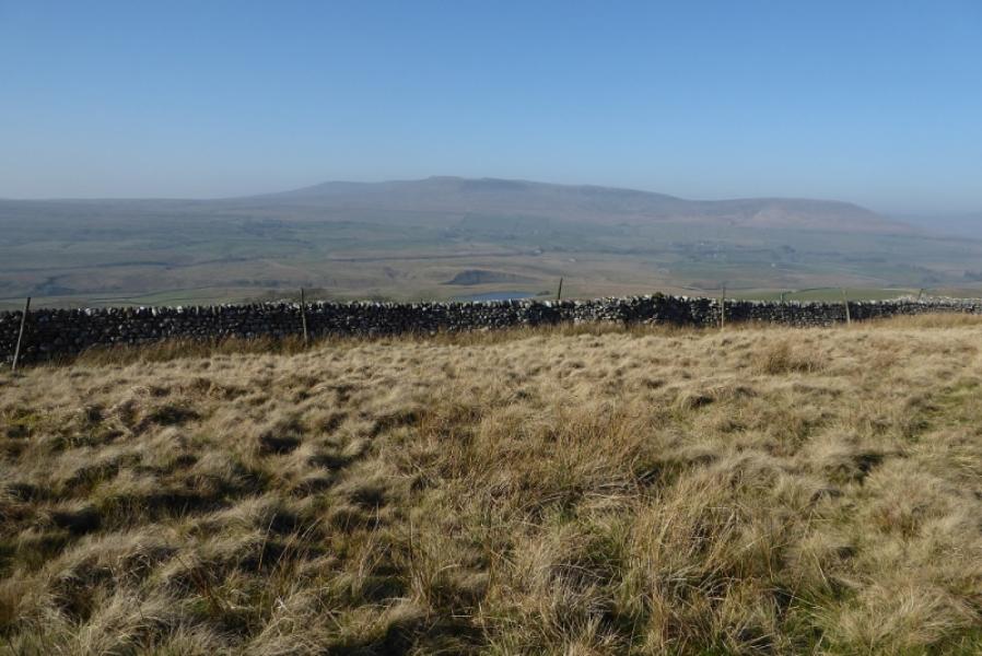
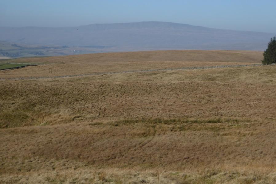
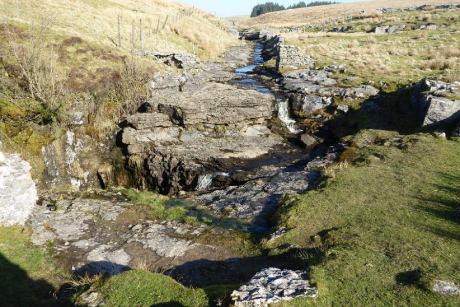
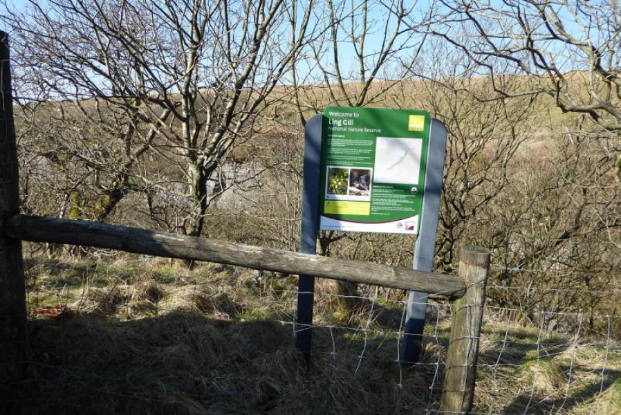
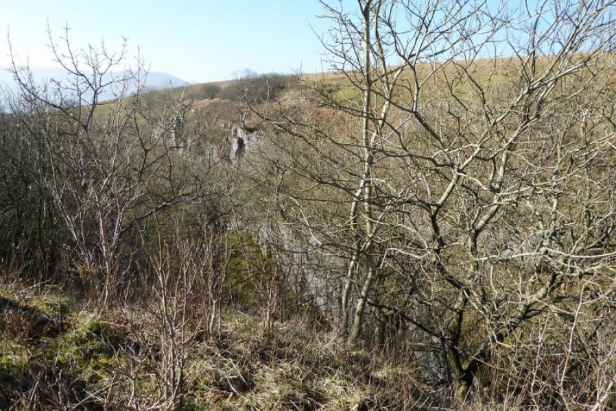
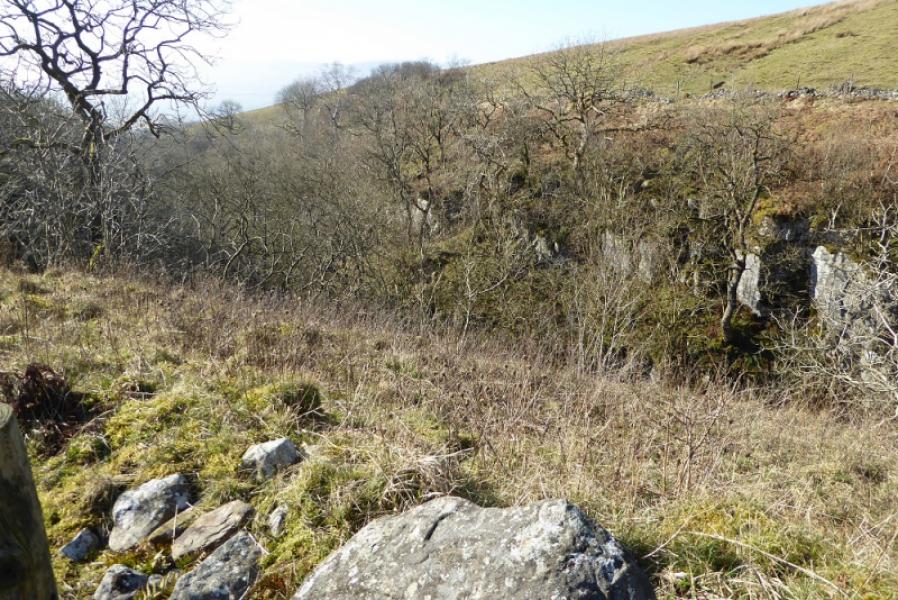
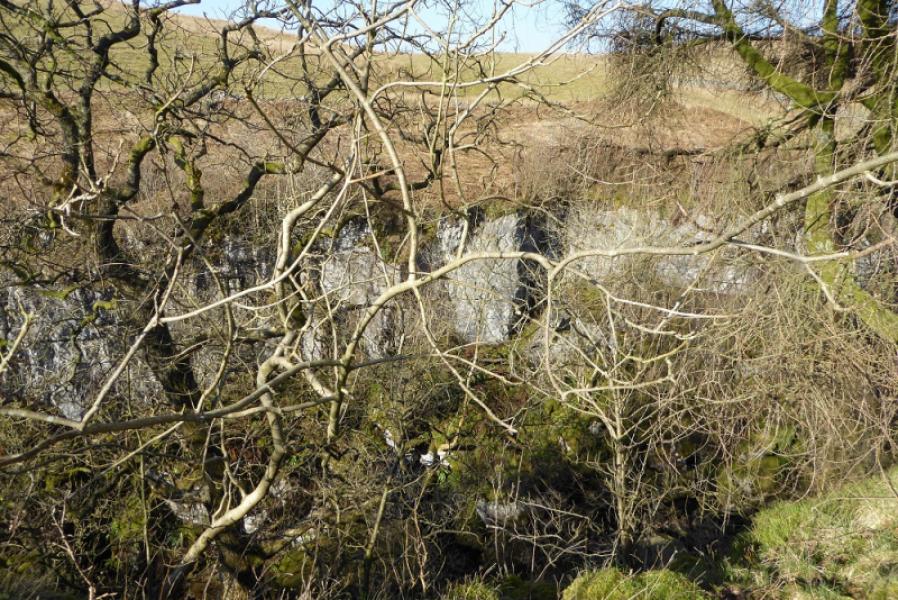
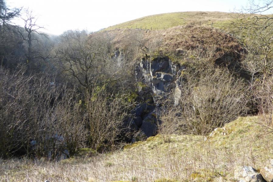
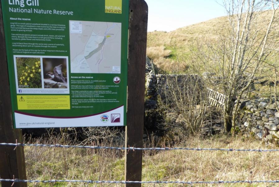
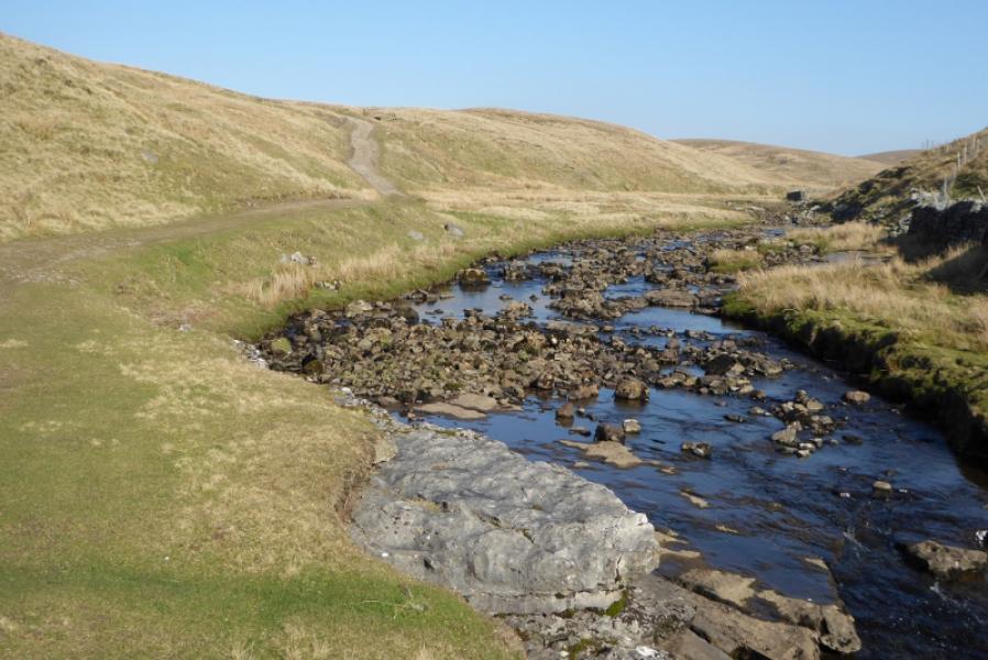
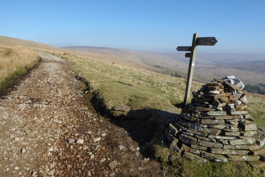
This is a novel approach to making a linear section of the Pennine Way into a circular route. It is possible to get the community minibus from Hawes to Garsdale station (0852 on 27/2/2019). This costs £5 but is free to those with bus passes. Garsdale station has been restored to look like it used to but with modern heating and toilets. The southbound train (0933) takes one to Horton-in Ribblesdale via Dent and Ribblehead stations and crosses the famous Ribblehead viaduct, the journey time being about 20 minutes and the fare just under £6. One then walks to the main car park in Horton to pick up the Pennine Way going north. The Pennine Way is mainly a track which can be rough and stony in places. Navigation is easy until Ten End when the path down is not very distinctive in places. The highlight of the Pennine Way is Ling Gill and its gorge. Ribblehead Viaduct, Ingleborugh, Pen-y-Ghent and Whernside are all well seen from the route.
Route
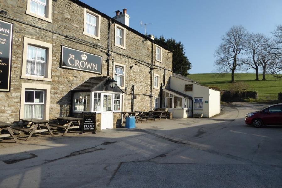
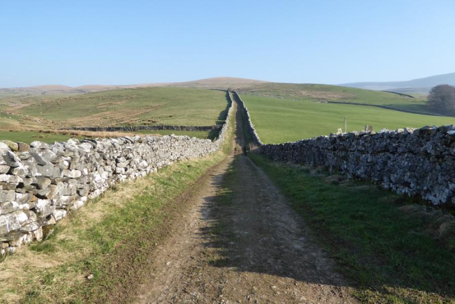
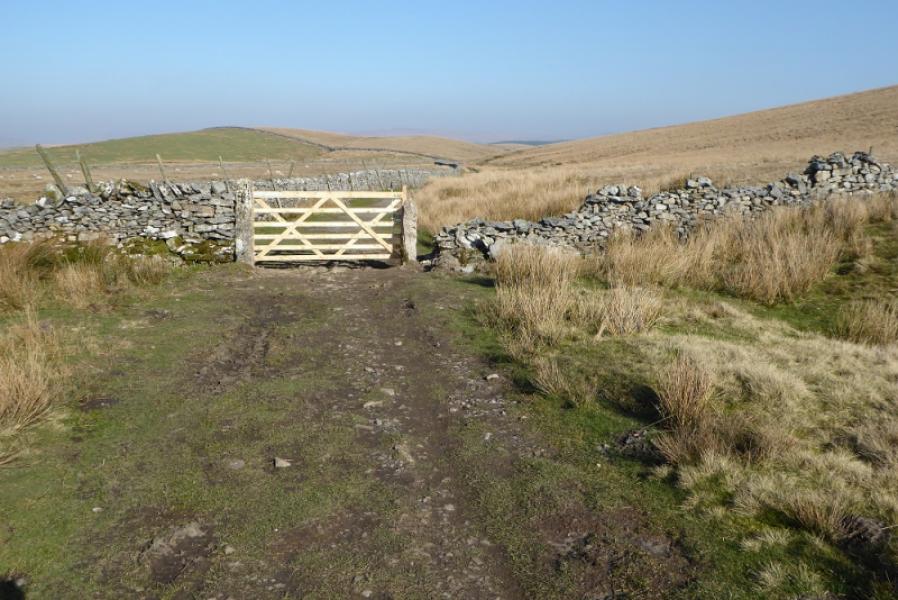
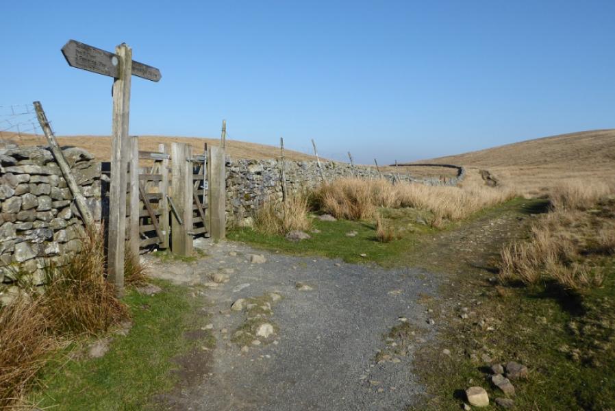
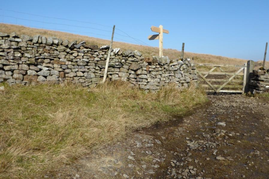
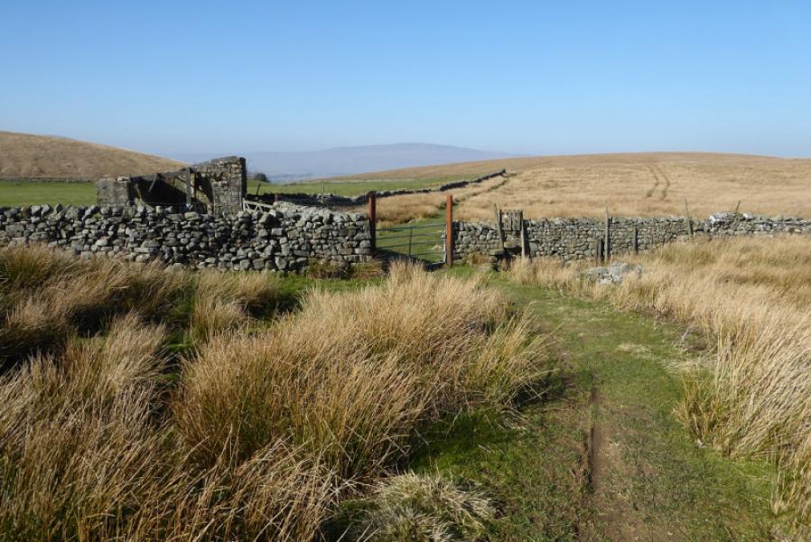
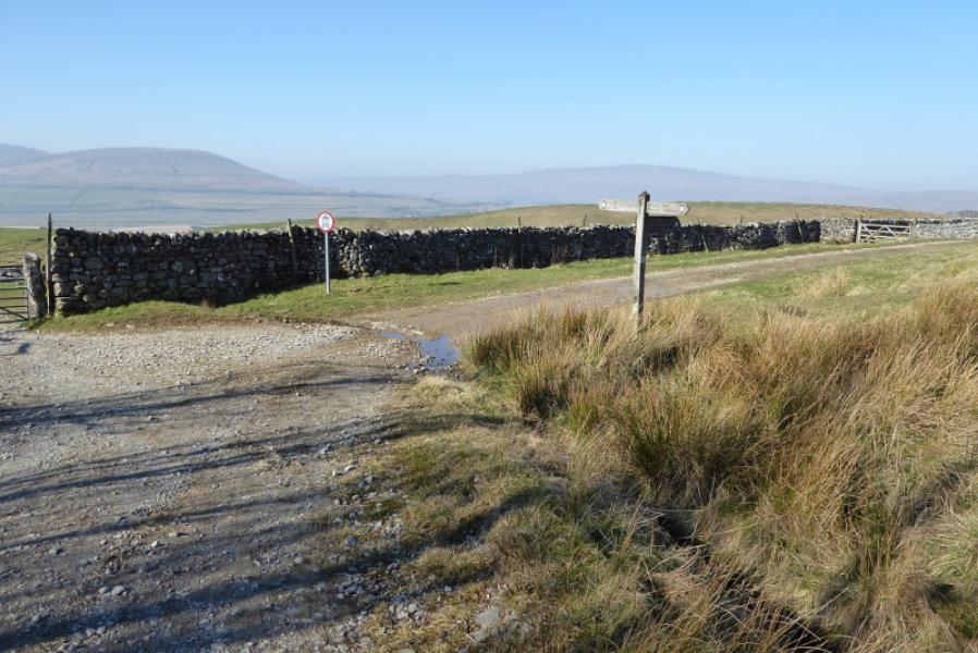
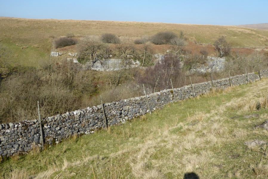
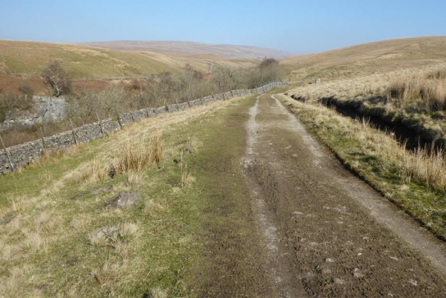
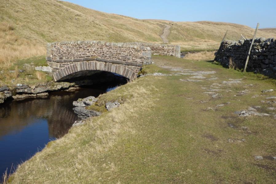
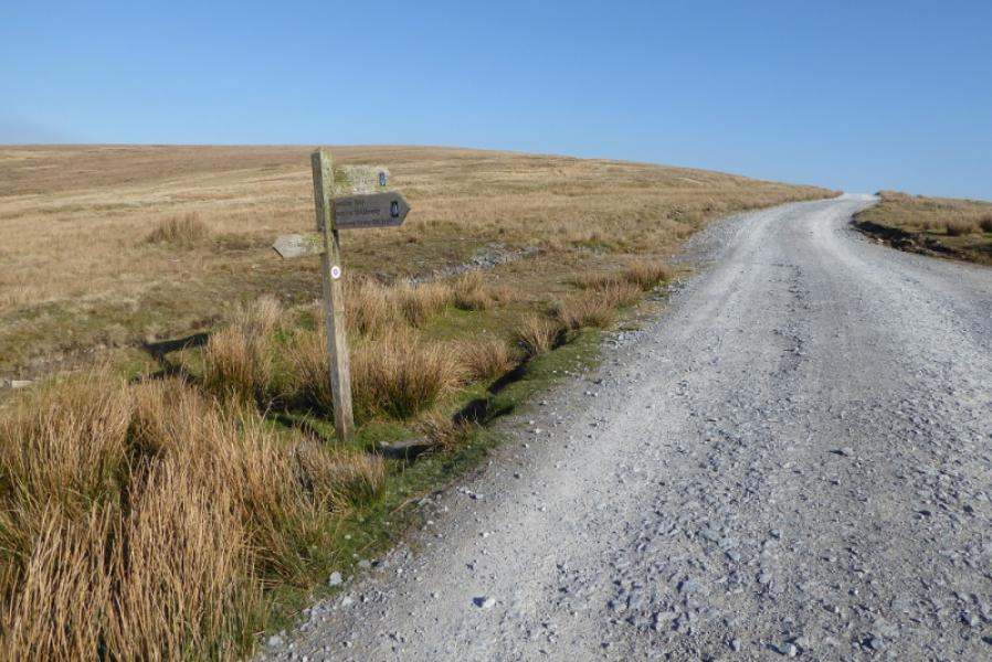
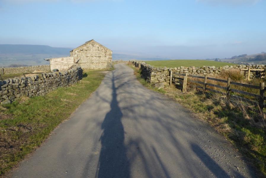
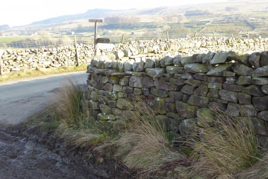
(1) From Horton station walk towards the main village, using a path to avoid a hump backed bridge, and reach the main car park which has toilets. Walk back over the bridge to The Crown and walk past its front door to the end of the building to find a sign pointing up a track which is where the Pennine Way leaves Horton and heads N. Follow the track for about 4.5 km to Birkwith Moor where the Pennine turns W some distance before a large plantation. Go over a slight rise then descend gradually before continuing past a small ruin then join a major track just before Old Ing. Soon after, the track turns N and passes Calf Holes where a stream disappears down a hole (similar but smaller to Gaping Gill). Continue N to pass alongside Ling Gill gorge then cross the bridge soon after. In less than 2 km, join the Dales Way on a gravel road.
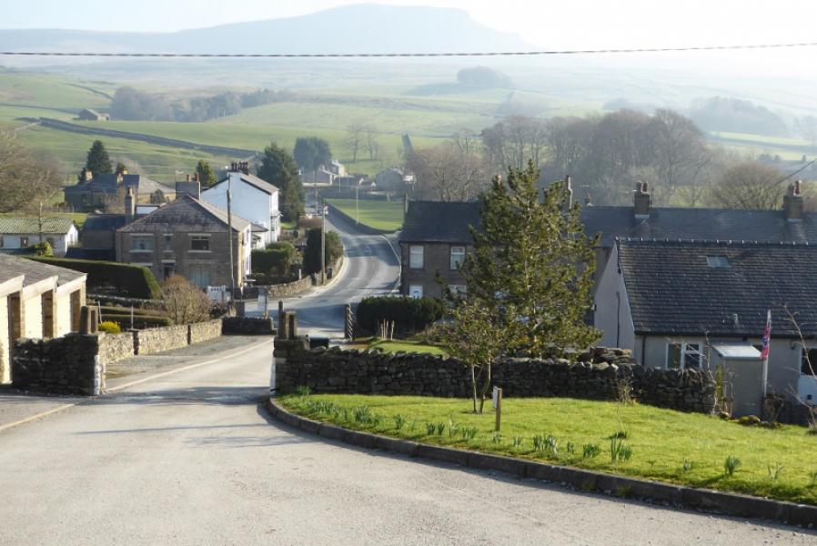
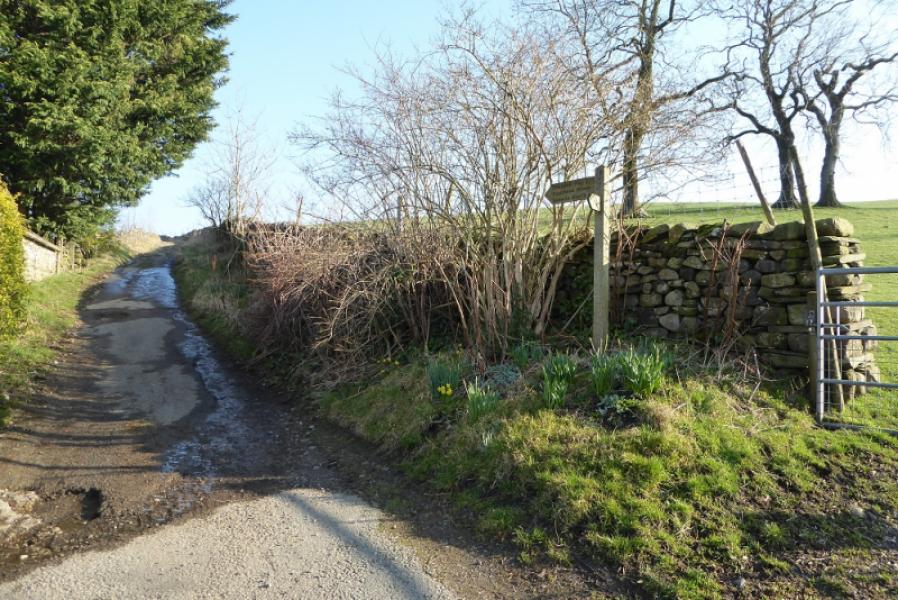
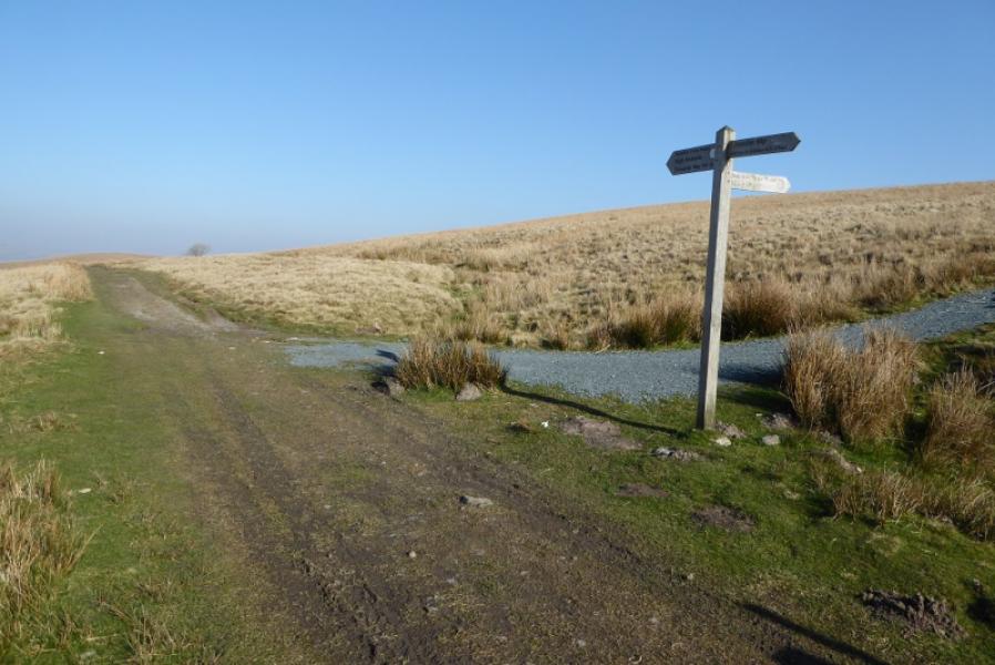
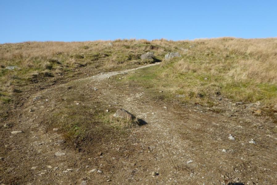
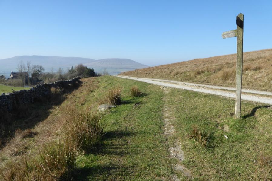
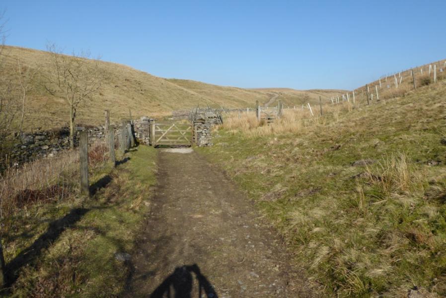
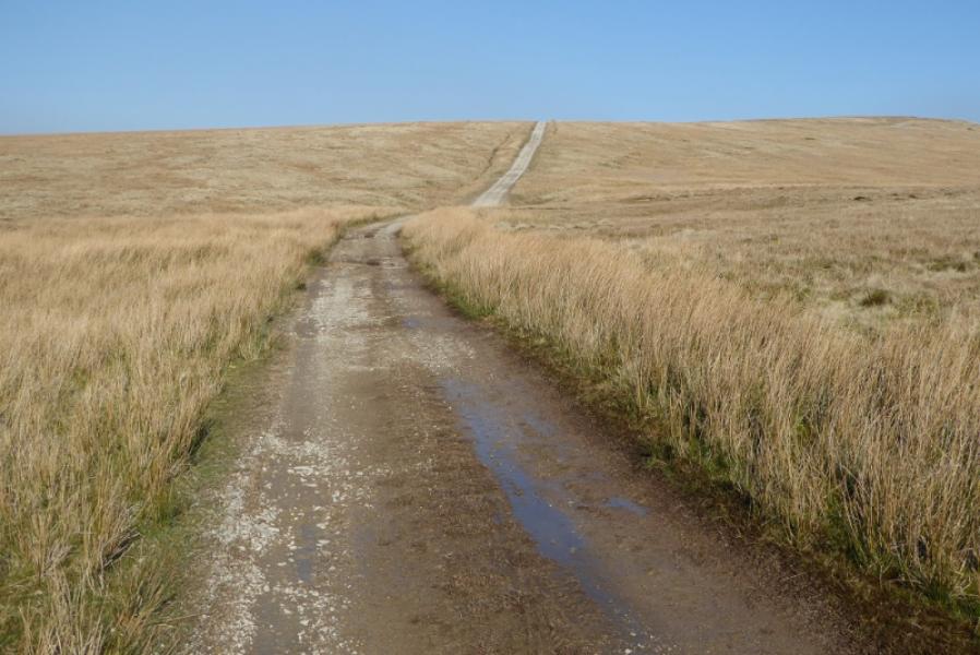
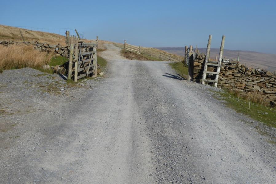
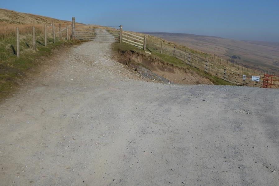
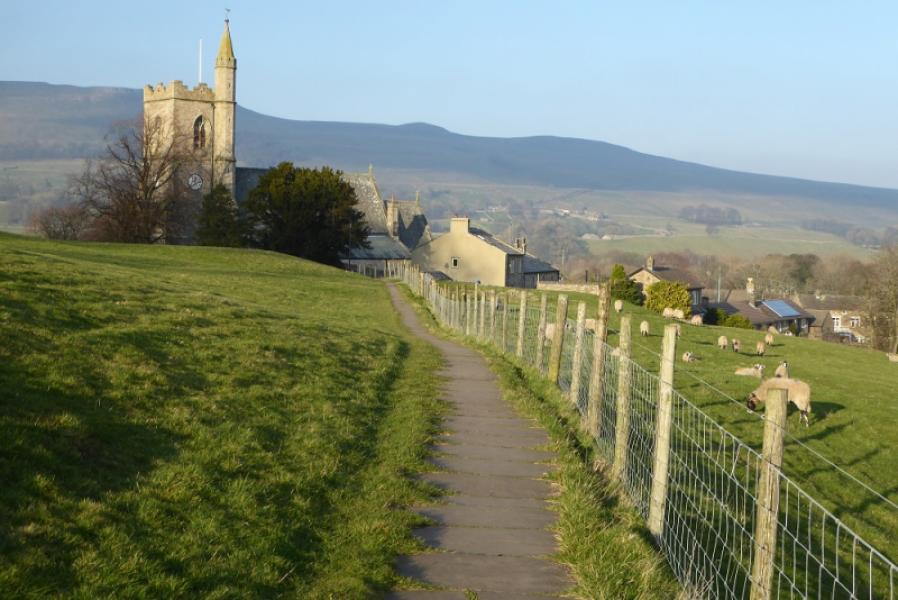
(2) Follow the gravel road NE with substantial forestry well below on the R. Continue past where the Dales Way forks off R and reach a tarmac road. Continue along this for about 1 km until the Pennine Way forks offL and heads N. Follow the obvious track for nearly 4 km on the western flank of Dodd Fell before a sign indicates the Pennine Way forks off R just before Ten End. Follow the path, roughly NE, as it gradually descends. The path is not always obvious but it leads down, through some gates, then turns ENE to reach Gaudy Lane. Follow the lane to a T junction and turn R. Almost immediately, cross a wall and walk across two fields before a sign says go left. Descend down to a road and turn right. Almost immediately, take the road descending on the left. This is not well signed but there is a sign with an acorn on it. Follow this road until a sign and a gate take one across two fields then between houses to reach a road. Cross over and continue to reach another road by a stone bus shelter. Turn L and soon go R onto a path which leads to a church. Just after this reach the road going W through Hawes. There are no signs now but turn R and follow the road to the road junction (Hardraw road) by the Dales Countryside Museum. The continuation of the Pennine Way N goes up the Hardraw road.
Notes
(a) This walk took place on and 27th February, 2019.
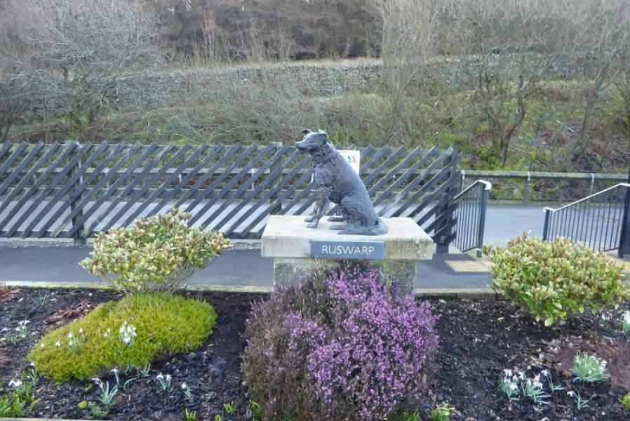
Photos - Hover over photo for caption. Click on to enlarge. Click on again to reduce.