Get Lost Mountaineering
You are here: England » Peak District » Black Hill, Lad's Leap, Laddow, Longdendale, Ravenstones & Dovestone Reservoir
Arnfield, Tintwistle Knarr, Millstone Rocks & Lad's Leap from A628 above Valehouse Reservoir
Arnfield, Tintwistle Knarr, Millstone Rocks & Lad's Leap
from A628 above Valehouse Reservoir
Start/Finish
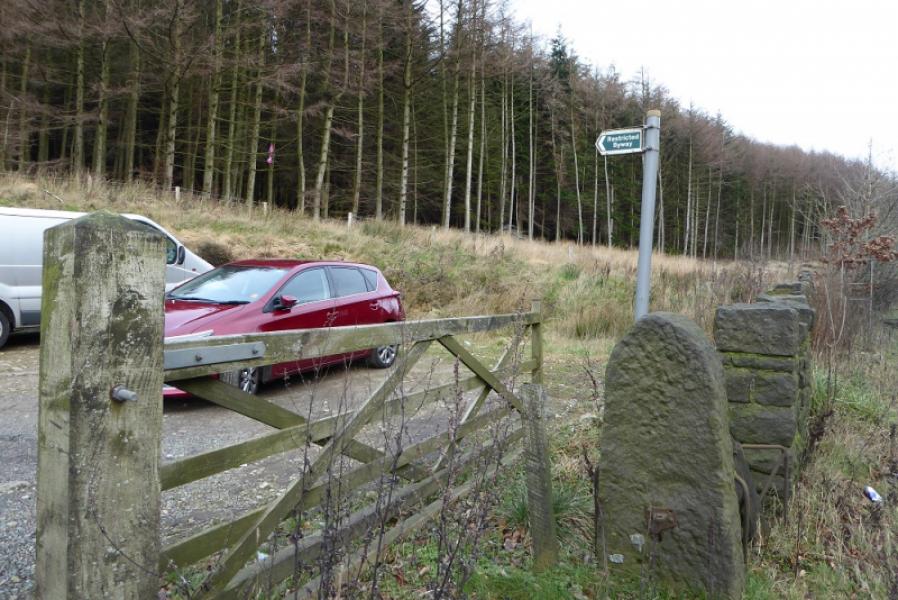
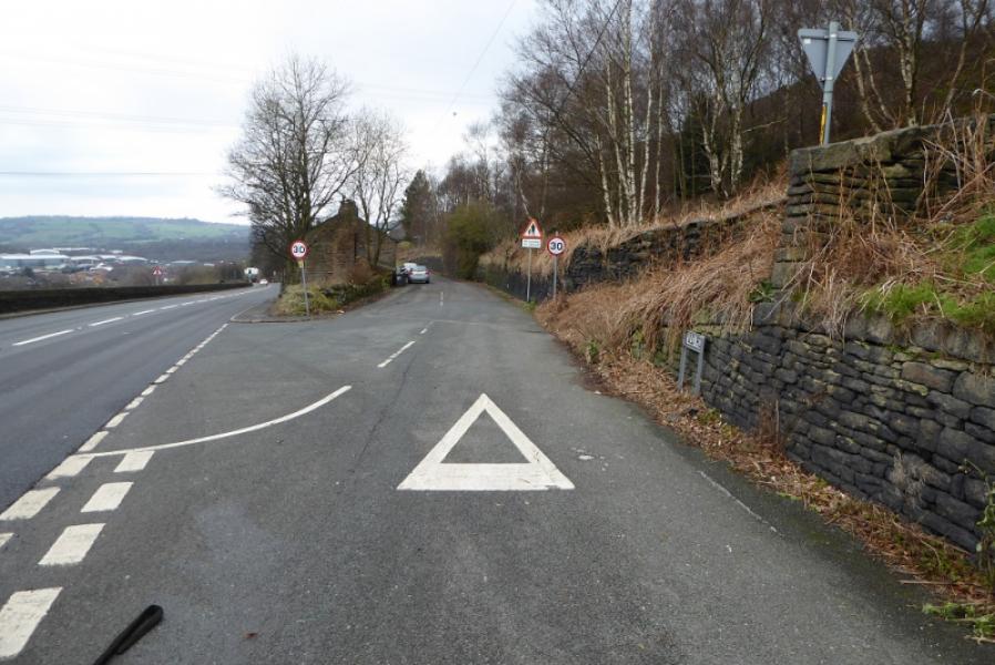
Rough unofficial small car park on the north side of the A628 (Woodhead Pass road) about 1 mile east of Tintwistle at SK 040 982 and at the south west bottom corner of an obvious wood.
Distance/Time
9 km About 3 – 4 hours
Peaks
No real peaks as this is an edge and moorland walk.
The highest point is Coombes Clough at Lad's Leap which is about 480 m.
OS Outdoor Leisure 1: Dark Peak
Introduction
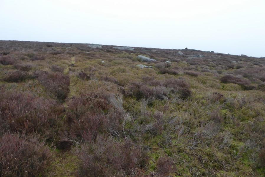
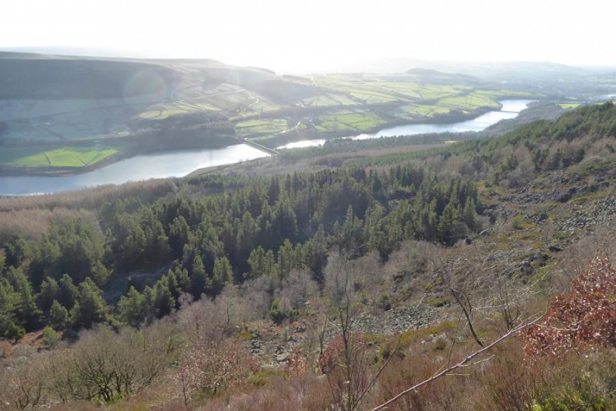
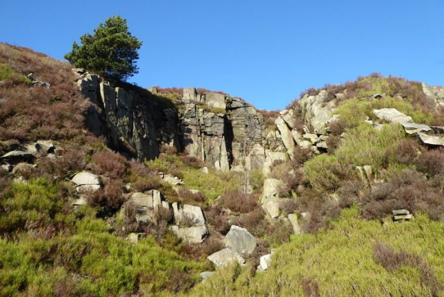
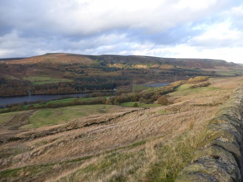
This is a straightforward edge and moorland walk in the Dark Peak which, in good weather has good views of the surrounding Pennine Moors including Bleaklow to the S. Some of the going is boggy, even in a dry spell, and gaiters are strongly recommended unless the ground is frozen or dried out in a hot spell. Part of the route passes below the cliffs of the old quarries without difficulty. Unless the paths are blanked out by snow, navigation is fairly straightforward even in mist.
Route
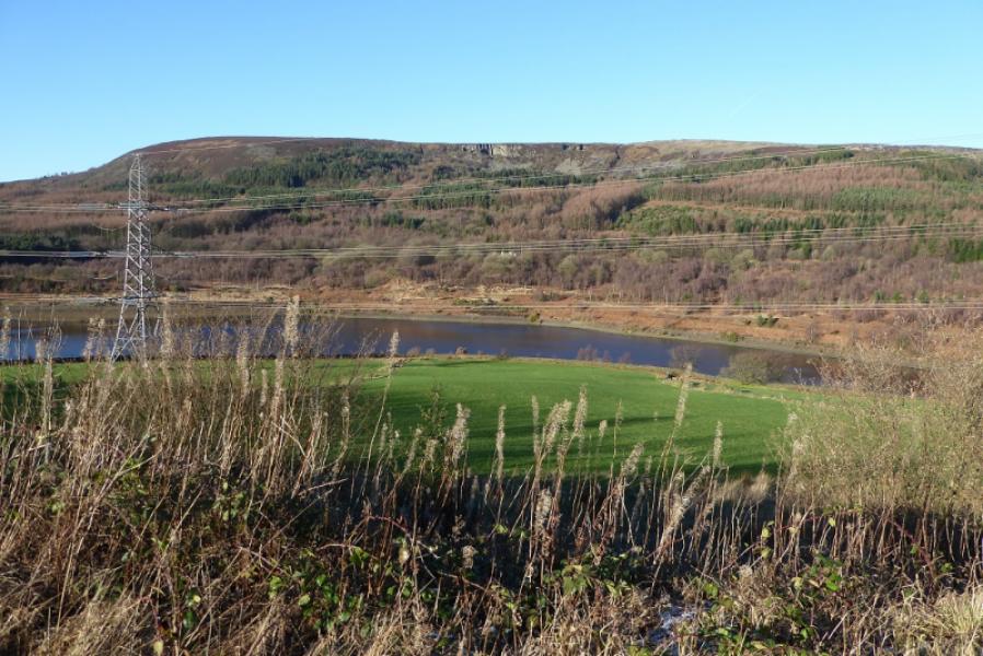
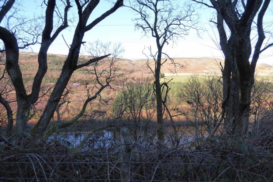
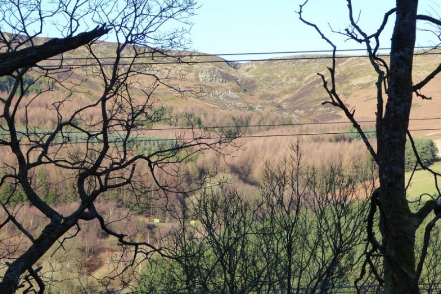
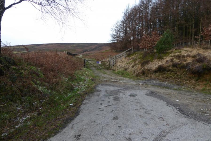
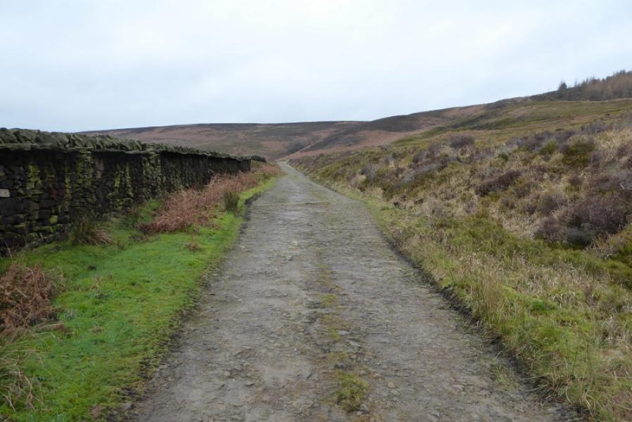
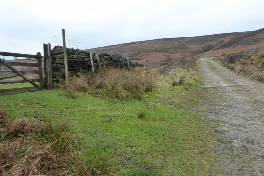
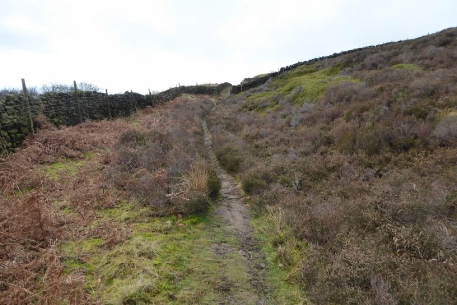
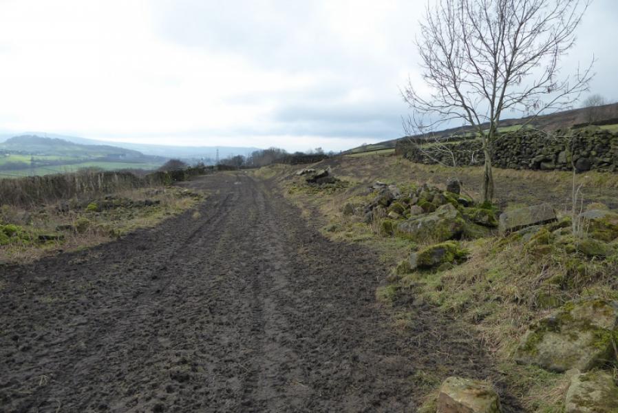
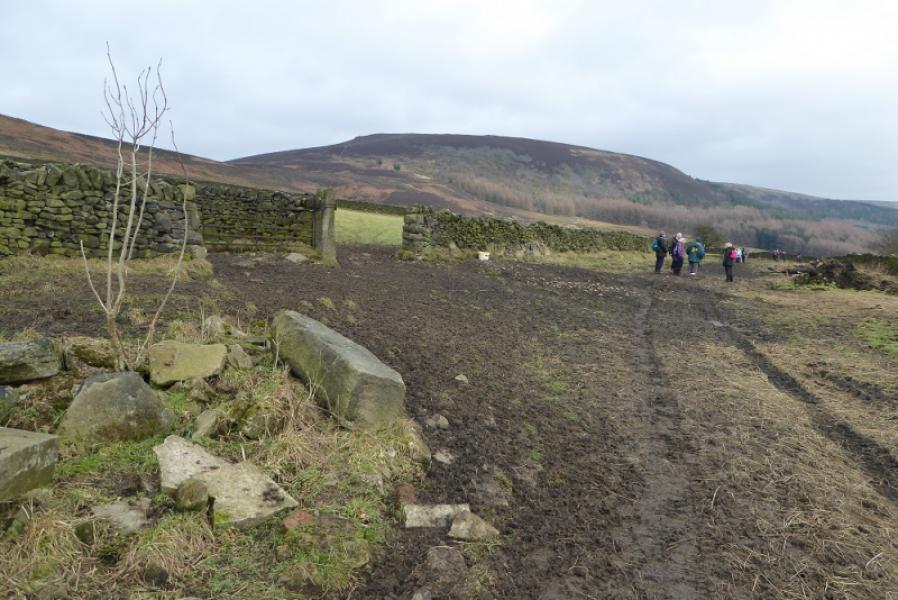
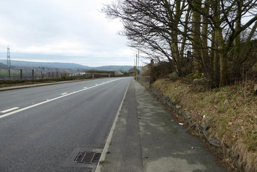
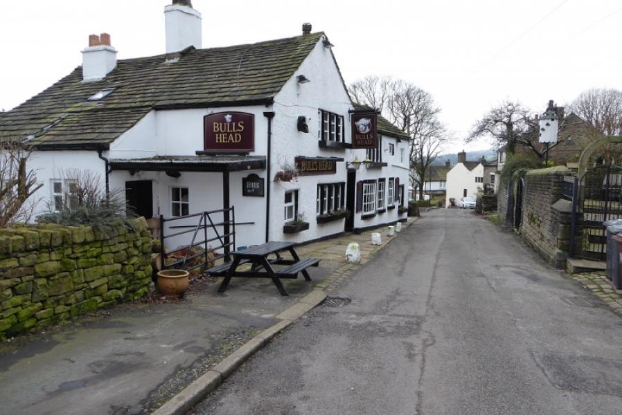
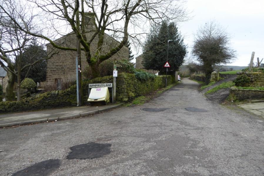
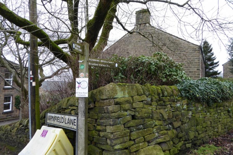
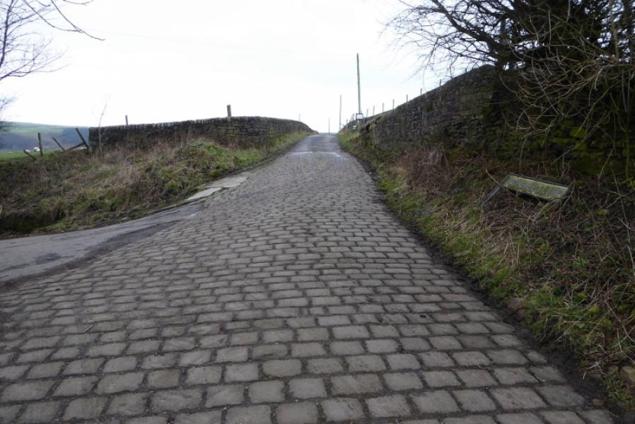
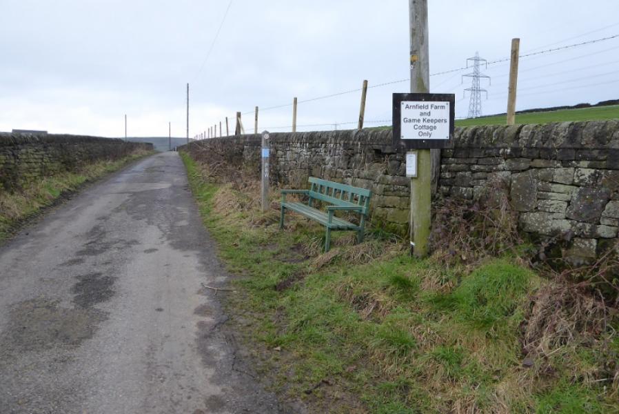
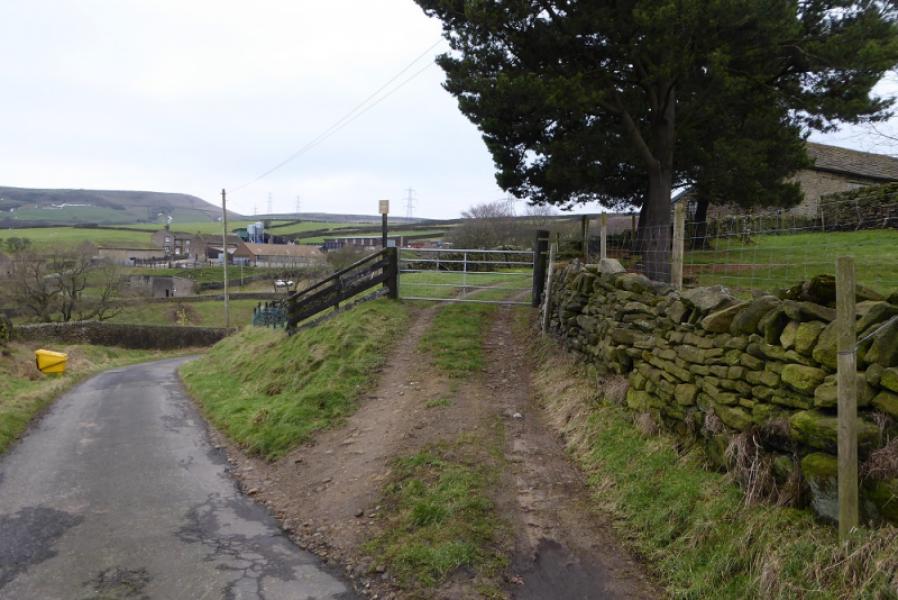
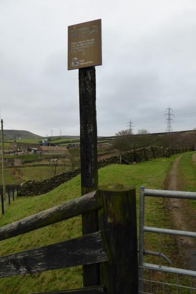
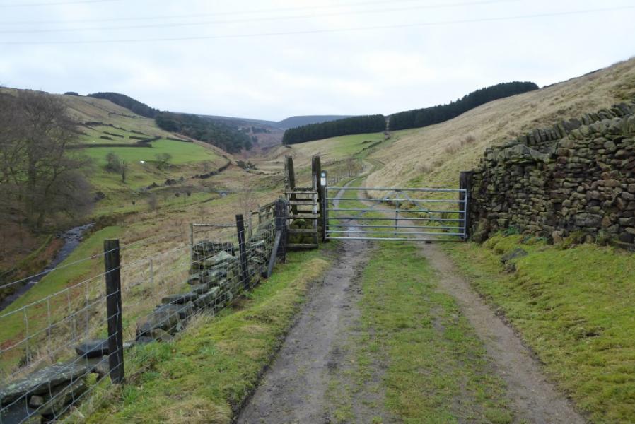
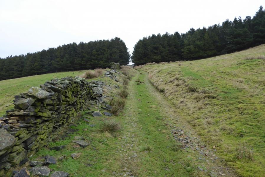
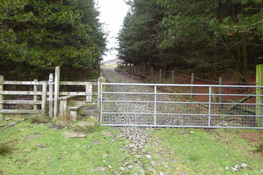
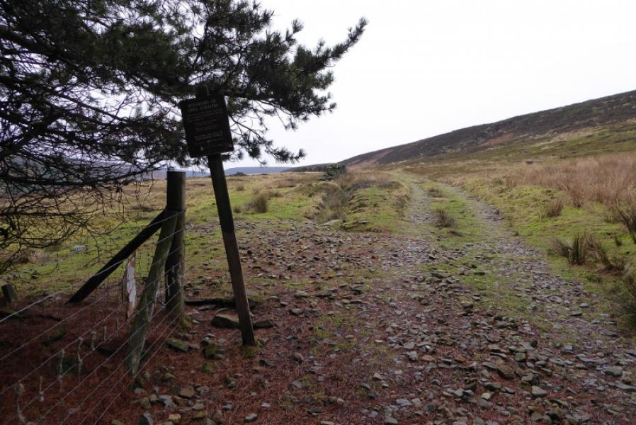
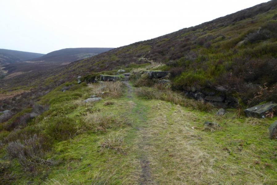
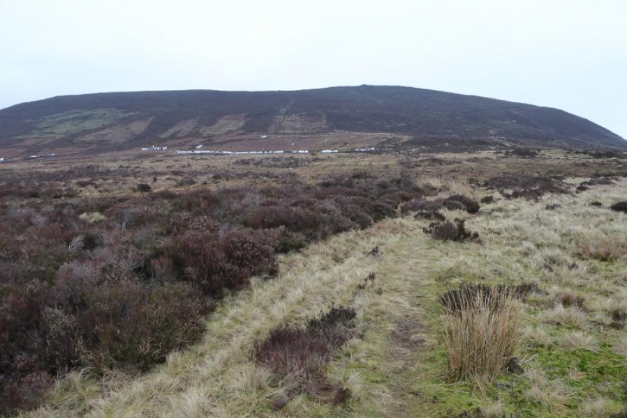
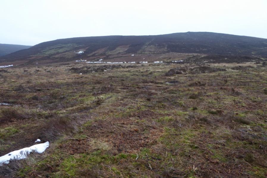
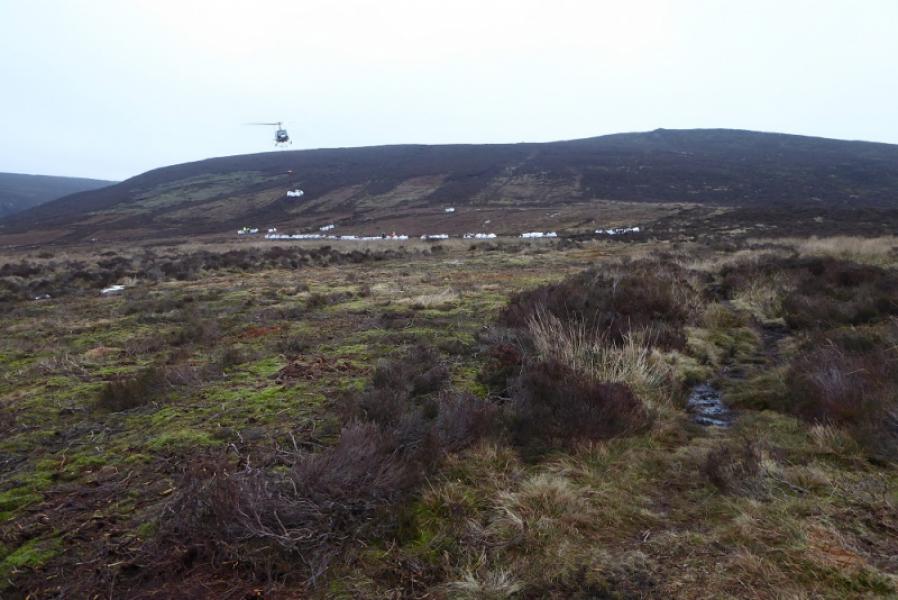
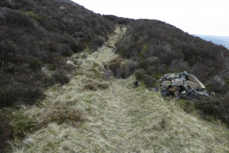
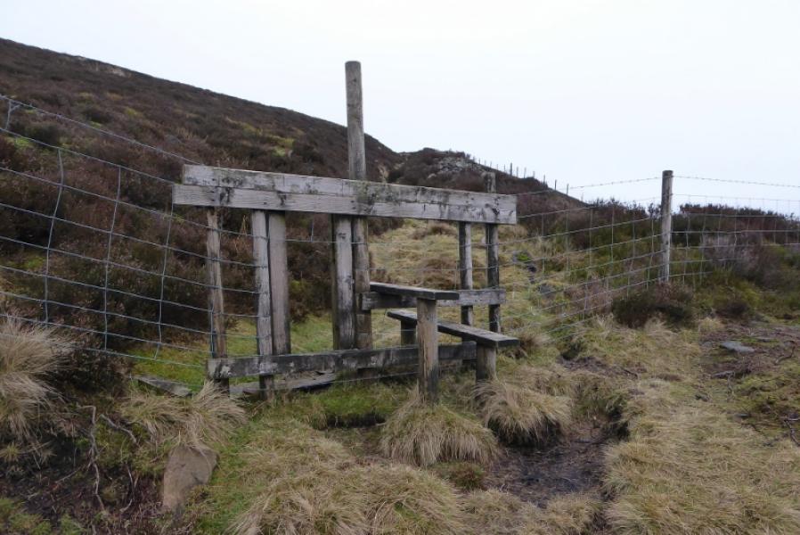
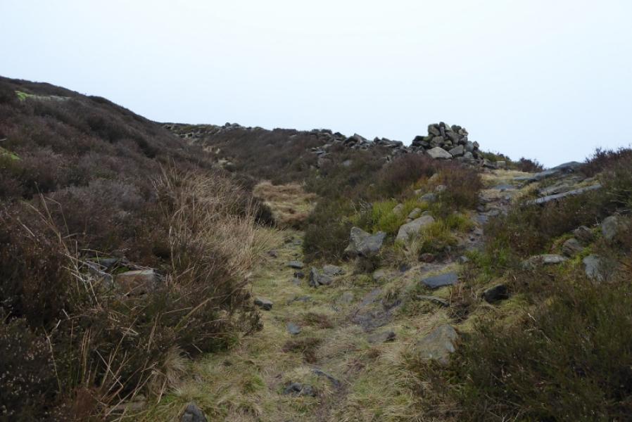
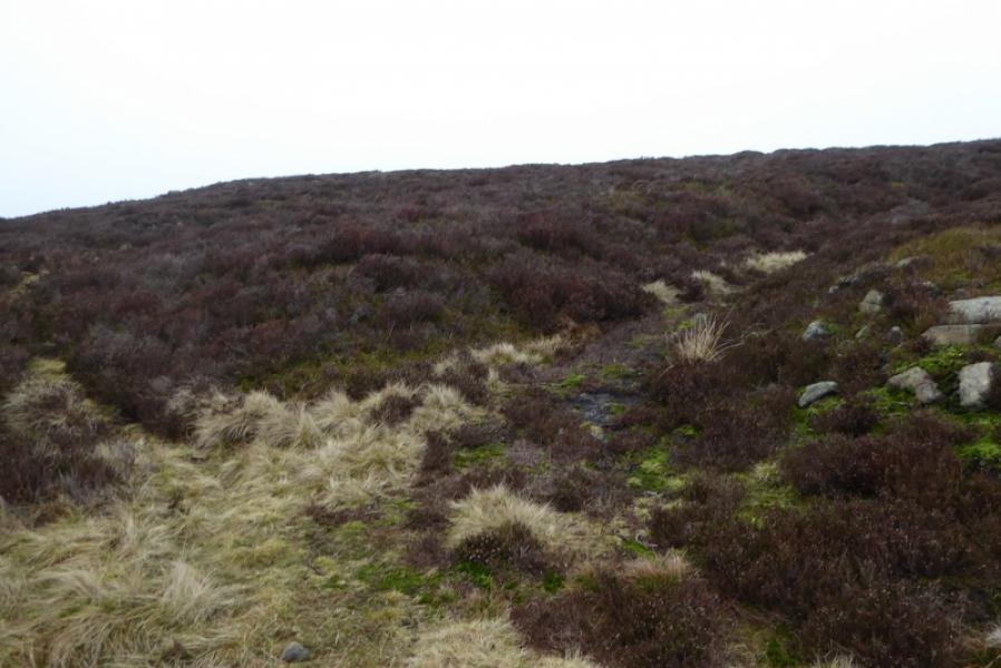
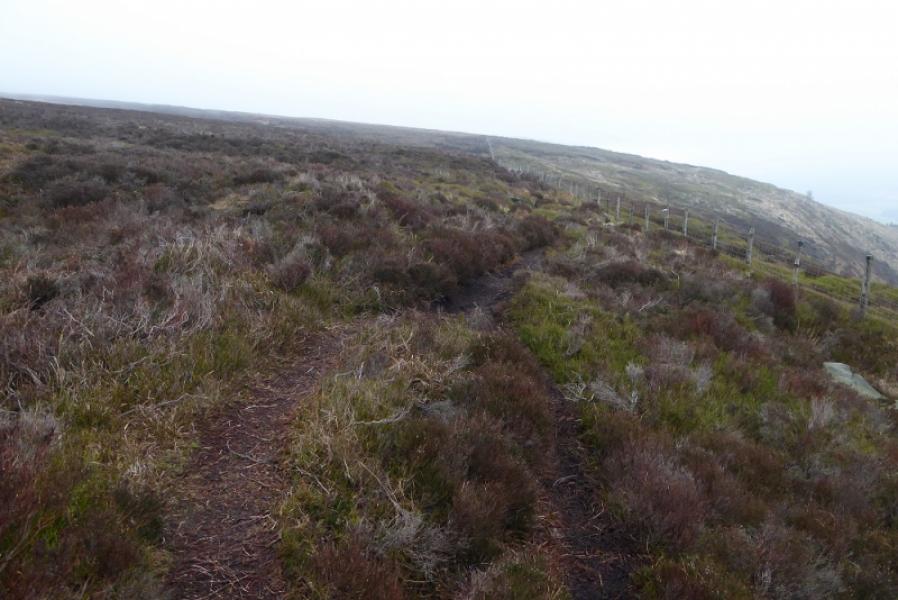
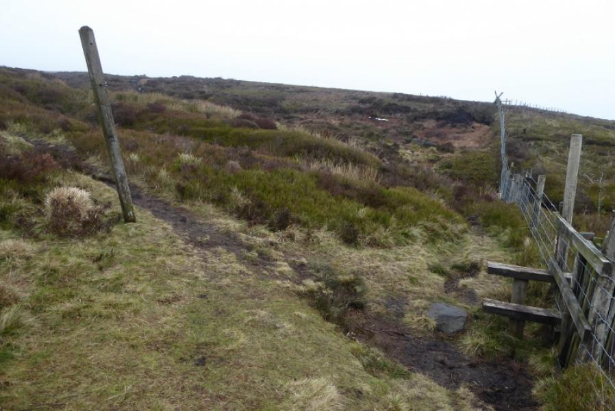
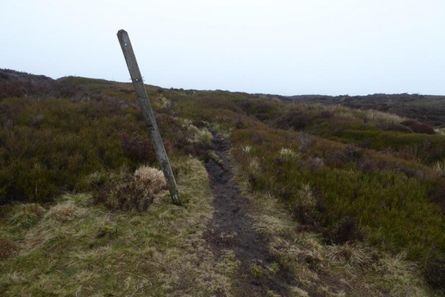
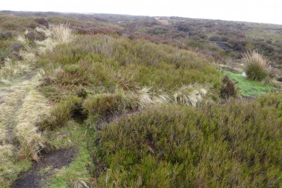
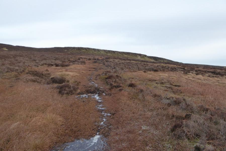
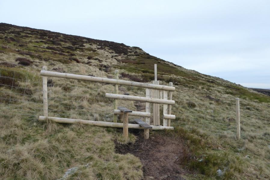
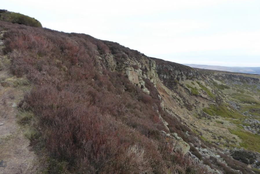
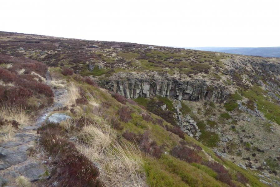
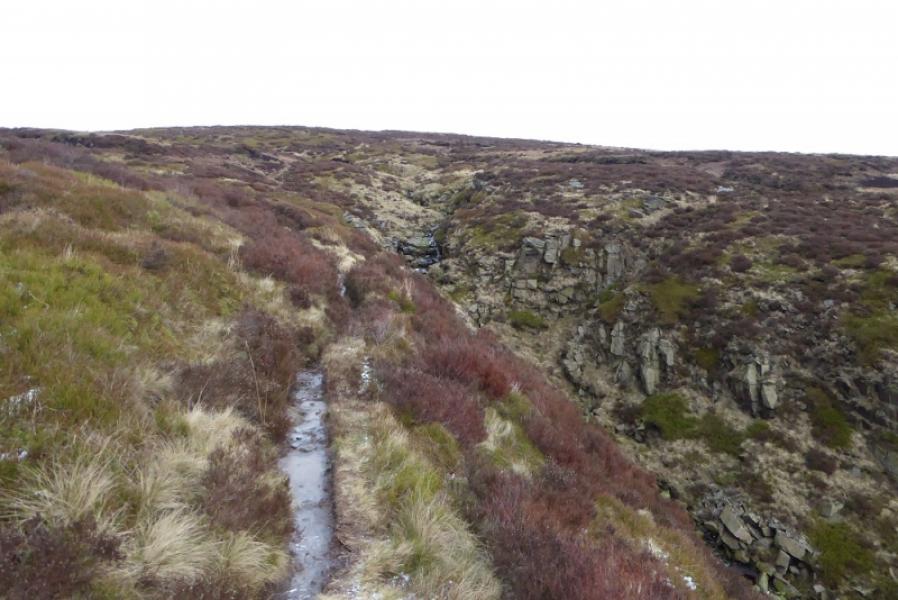
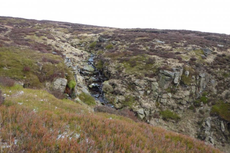
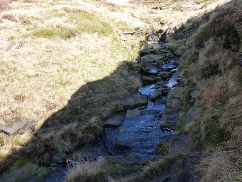
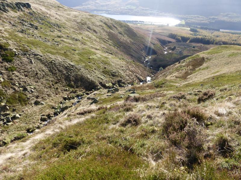
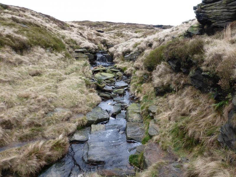
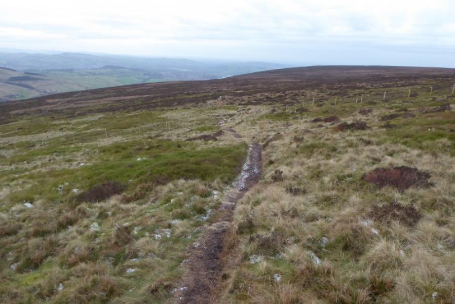
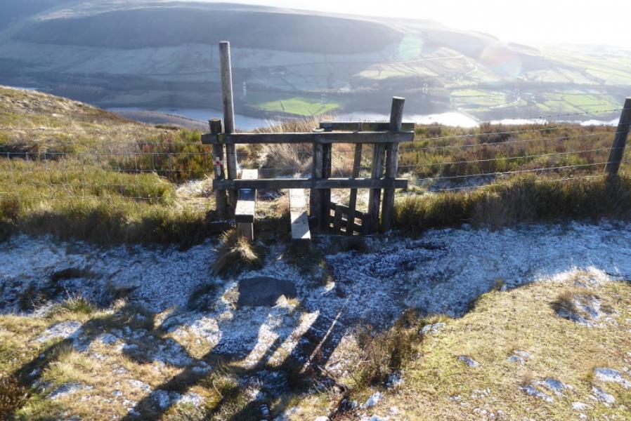
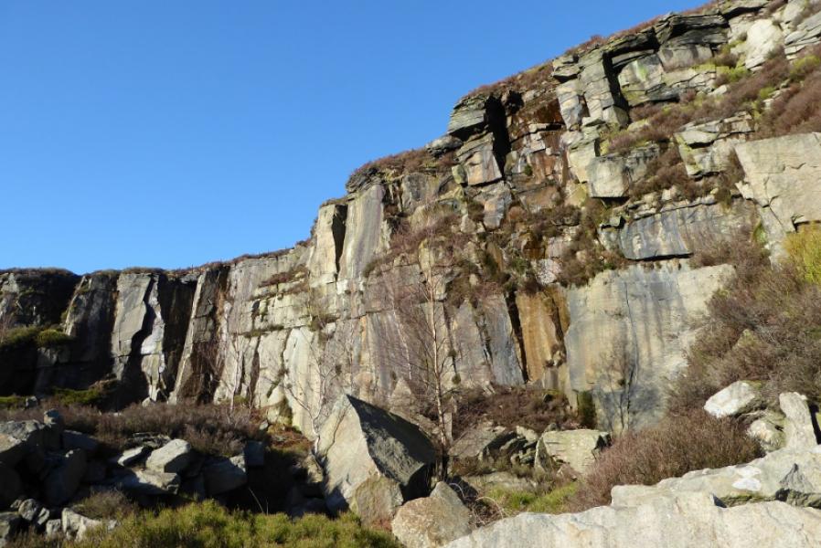
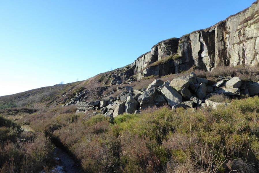
(1) Set off up the obvious track but soon leave it to fork left onto a path which follows the wall. The path becomes a track and leads back to the busy A628 near Townhead Farm. Turn right, W, and walk along the footpath at the side of the main road. Soon fork right onto the minor road going into Tintwistle village. Pass the obvious Bulls Head. A little further, turn right on to the well marked Arnfield Lane. Follow the road up. Just after the Gamekeeper's Cottage, fork right onto a track. Follow this track. It soon passes between two plantations (not shown on most maps). Continue on the main track until it becomes a path then follow this path. Further on, the path enters a shallow, twisting grassy groove and passes a cairn then crosses a stile. Soon after, the path splits so take the left fork which is still in a shallow groove and has a very broken wall on its right. When the wall runs out, the path curves to the right and heads across the open moor, gradually becoming fainter. It appears to peter out just before an isolated tree off to the right. Continue in roughly the same direction, gradually drifting to the right to intercept the fence left earlier. Follow the path by the fence which can be boggy in places until a stile and pole are reached. The stile is where the path comes up from the quarries and will be used in descent. Turn left at the stile then soon turn right and cross a very minor stream before continuing on a fairly boggy path which crosses the open moorland. Follow this across the open moor to another stile which is just before a short ascent to above Millstone Rocks. Continue along the path until it crosses the stream at the top of Coombes Clough using a rocky ford below Lad's Leap. Note that the stream is called Hollins Clough above the ford! Continue across the stream for as far as you wish but there isn't much to see past the obvious large cairn. There is nothing to indicate exactly where Lad's Leap is.
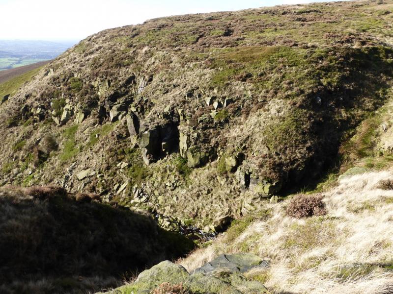
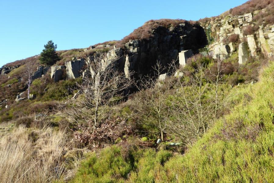
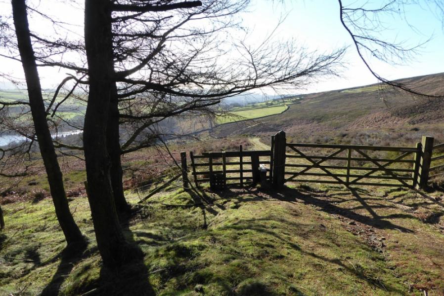
(2) Retrace back across the stream then over the stile and open moor to the stile above the path to the quarries. Cross over and continue the gradual descent passing below the cliffs of the old quarries. After the last cliff, the path becomes a grassy track and meanders down, through the top of the wood, to emerge at a gate. Either continue on the track which zig zags down or take the path by the wood. Both lead to the rough car park by the A628.
Notes
(a) This walk took place on 5th February, 2019
Photos - Hover over photo for caption. Click on to enlarge. Click on again to reduce.