Get Lost Mountaineering
You are here: England » Yorkshire Dales » Western Area
Pen-y-Ghent from Halton Gill to Stainforth Road
Pen-y-Ghent from Halton Gill to Stainforth Road
Start/Finish
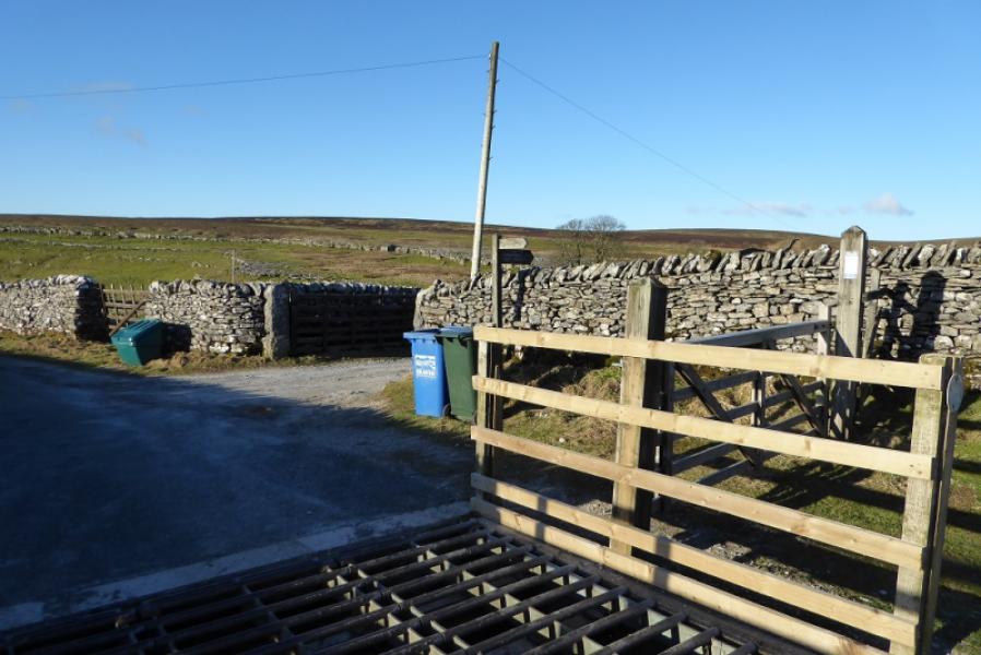
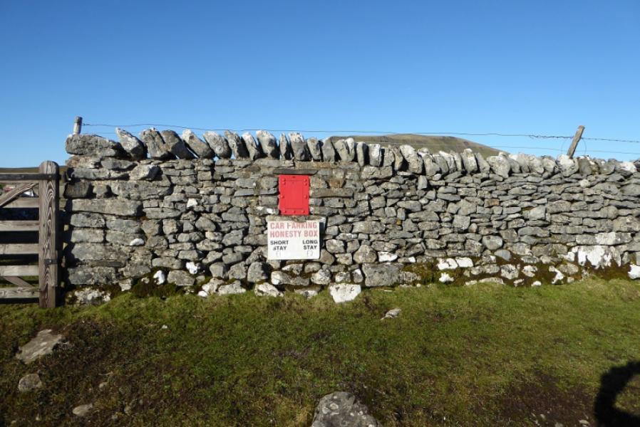
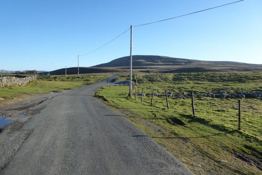
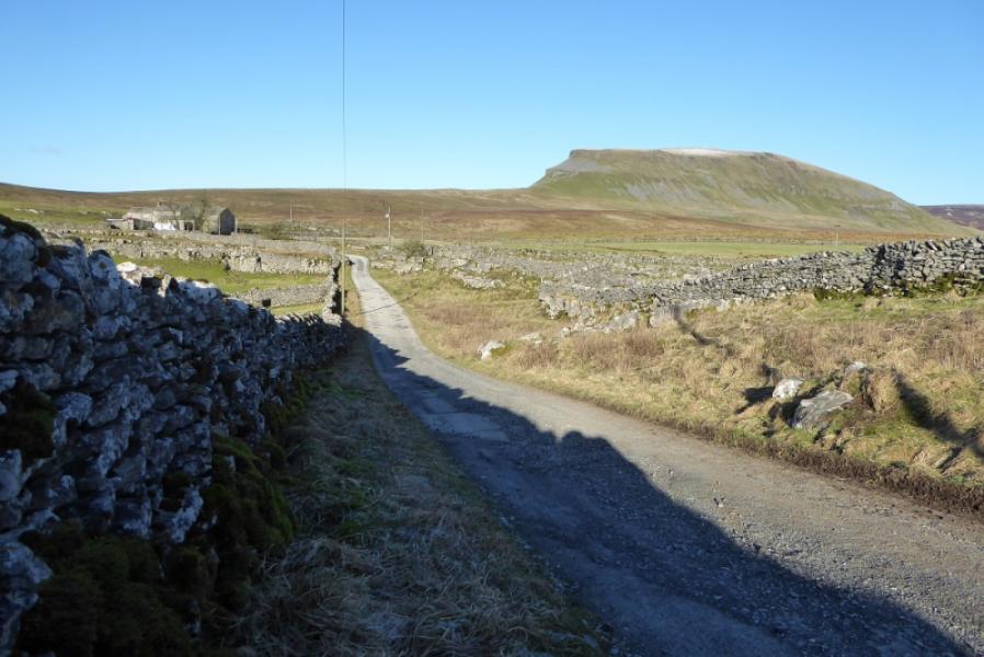
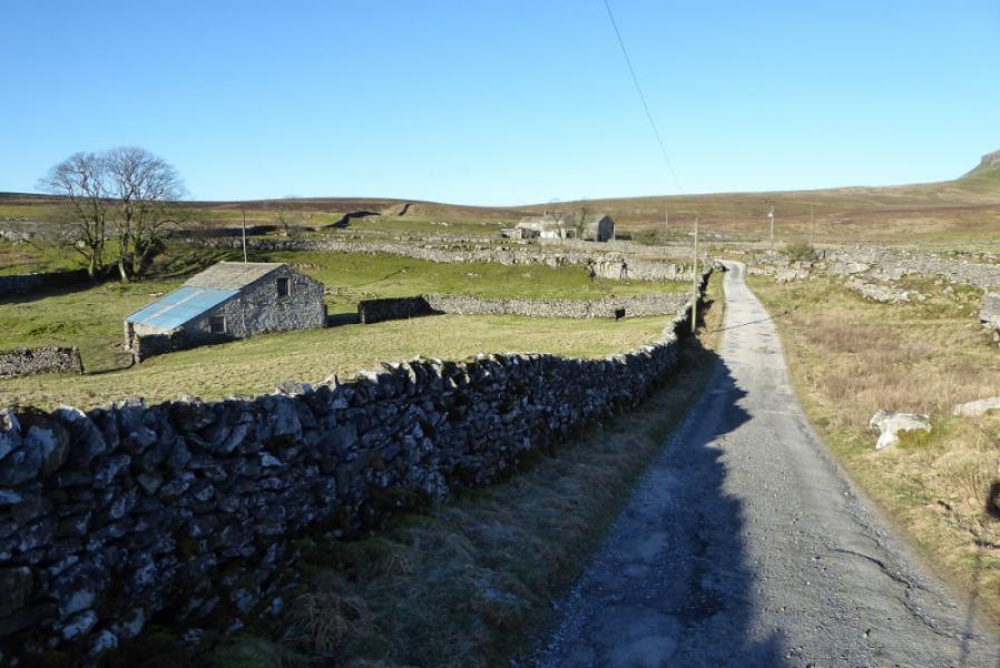
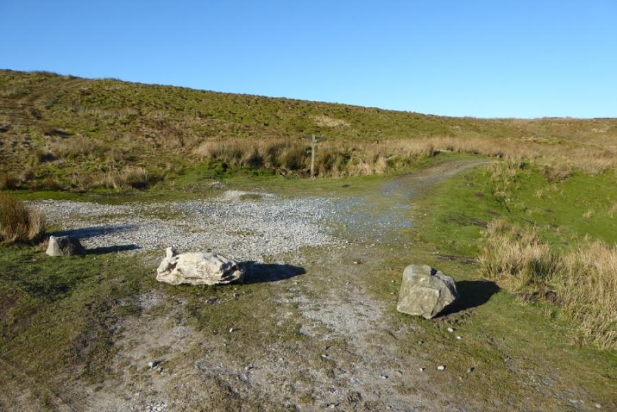
About 3 miles up the road to Halton Gill from Stainforth (on the Settle to Horton-in-Ribblesdale road) at SD 842 714. A rough track goes N from here to Dale Head, there is a cattle grid and a red honesty box in the wall. Parking has to be on the verge which may be soft in places. The road is also known as the Silverdale Road.
Distance/Time
6 km. About 2 – 3 hours.
Peaks
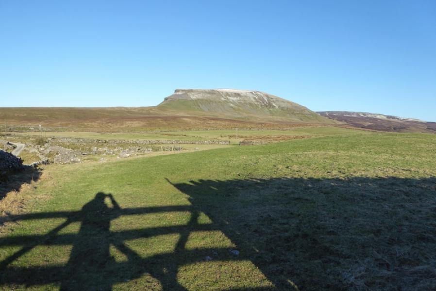
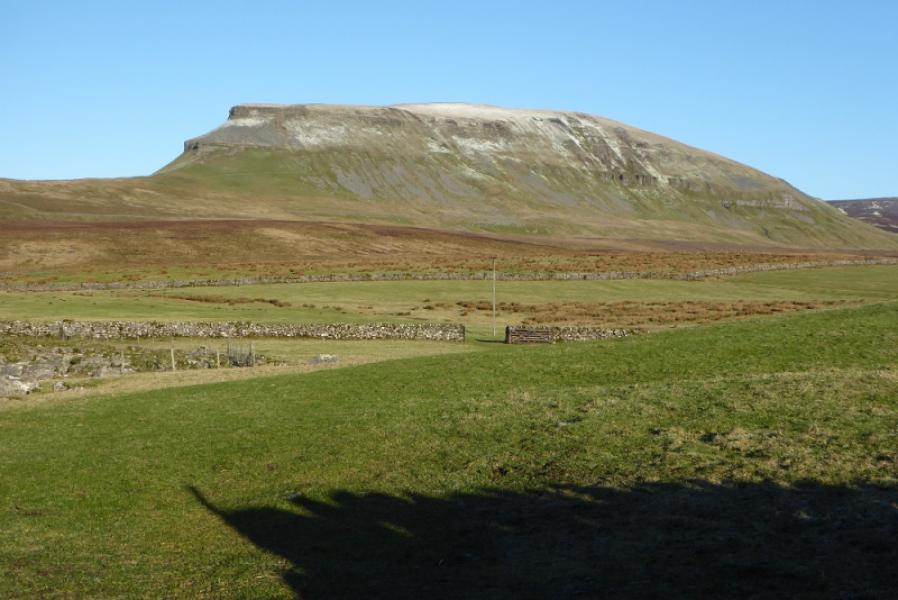
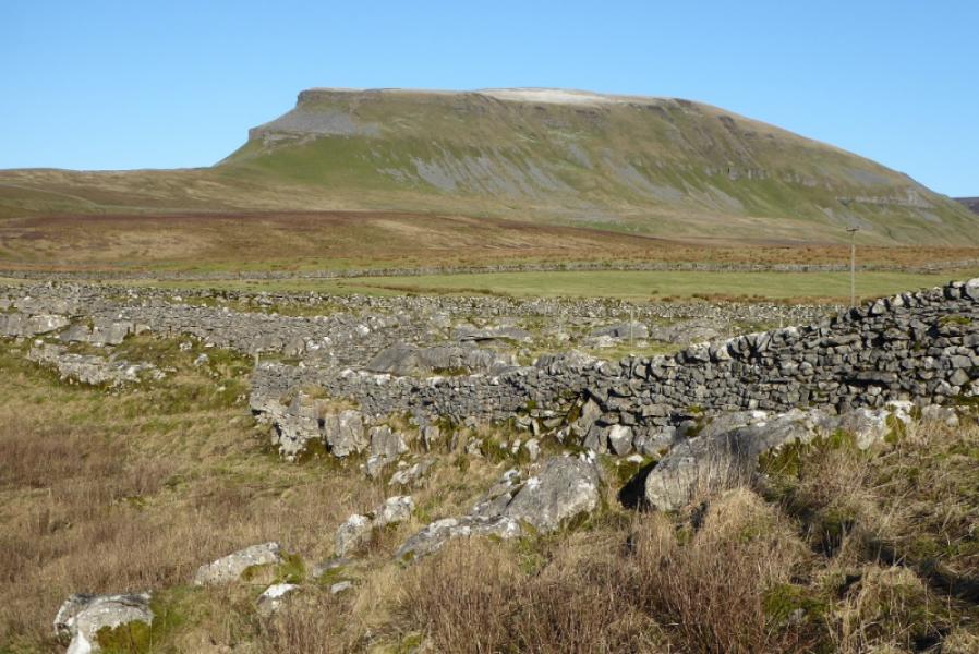
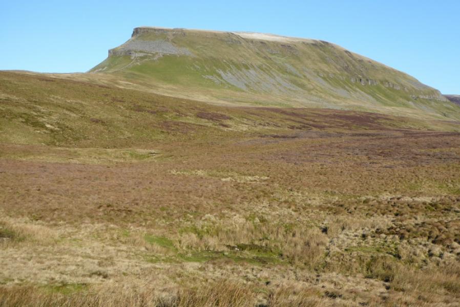
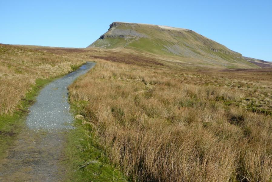
Pen-y-Ghent, 694 m, SD 838 734.
OL2 Yorkshire Dales: Western Area
Introduction
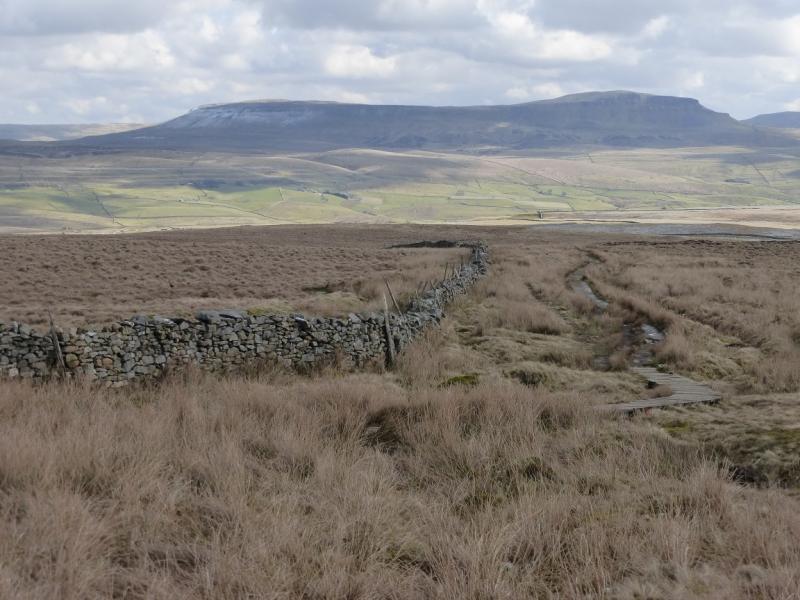
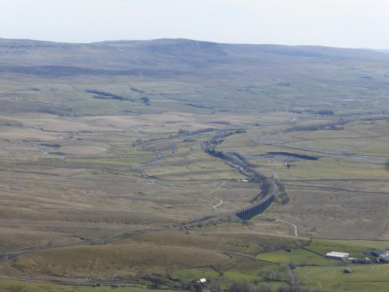
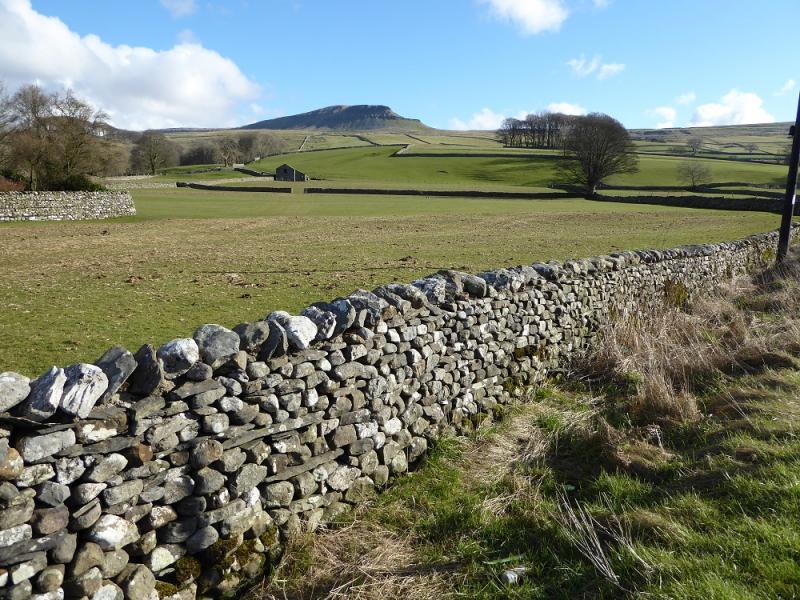
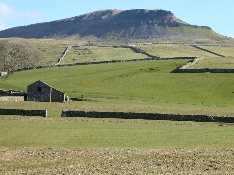
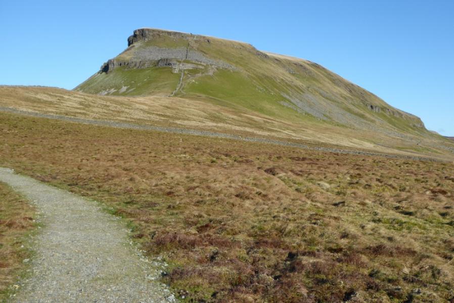
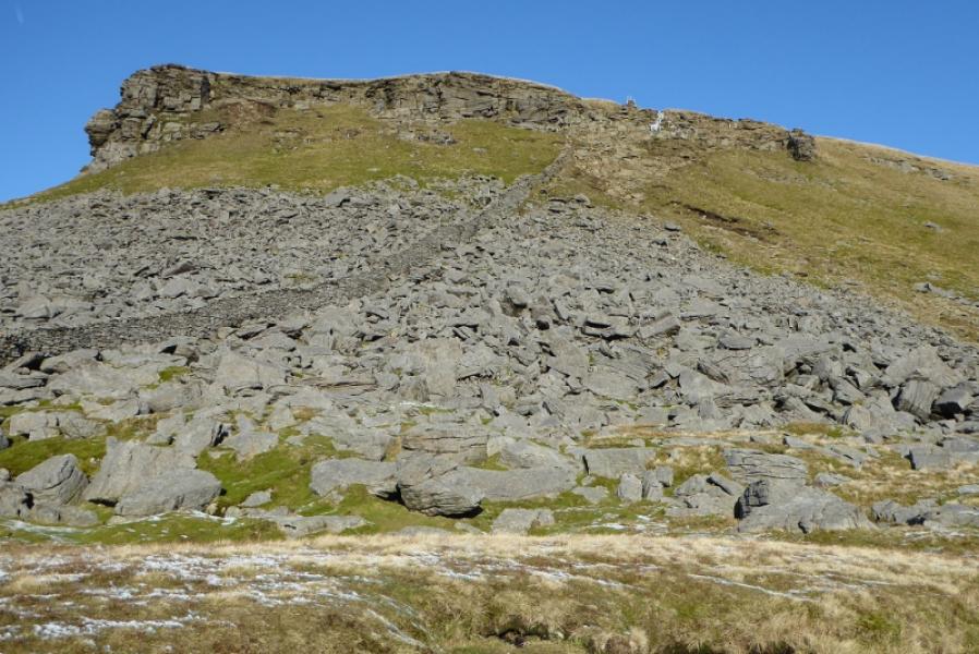
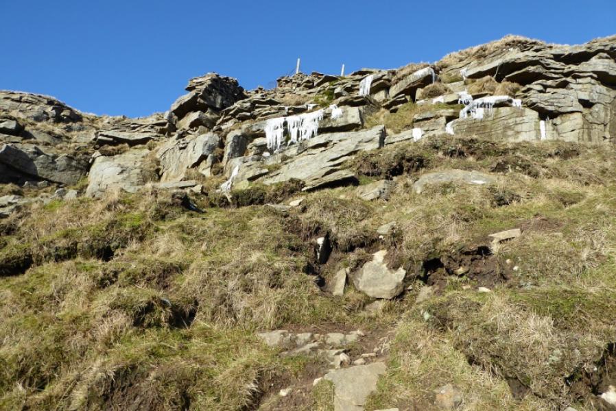
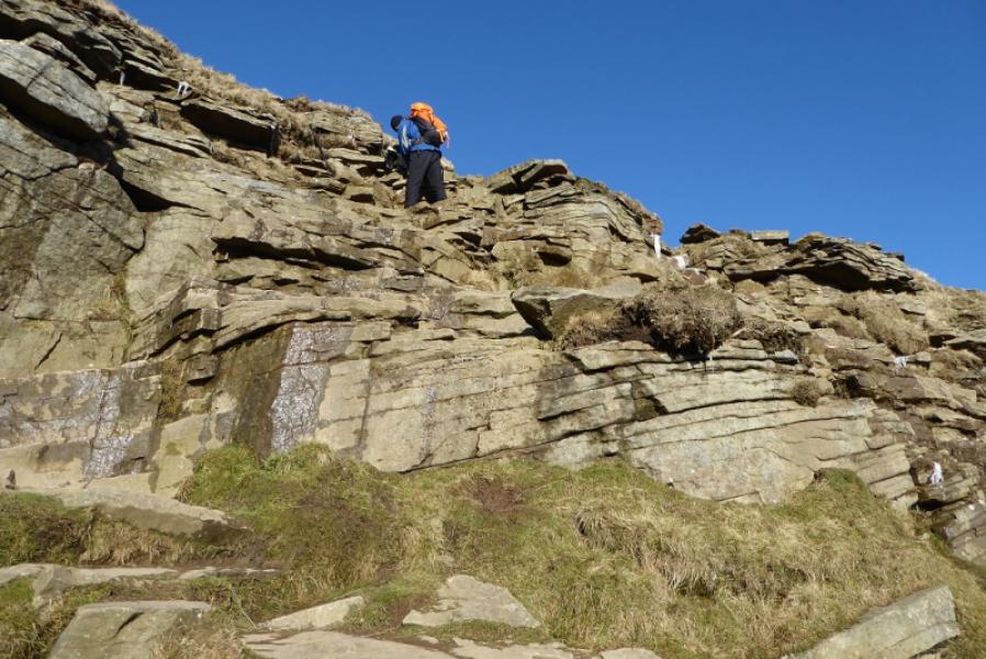
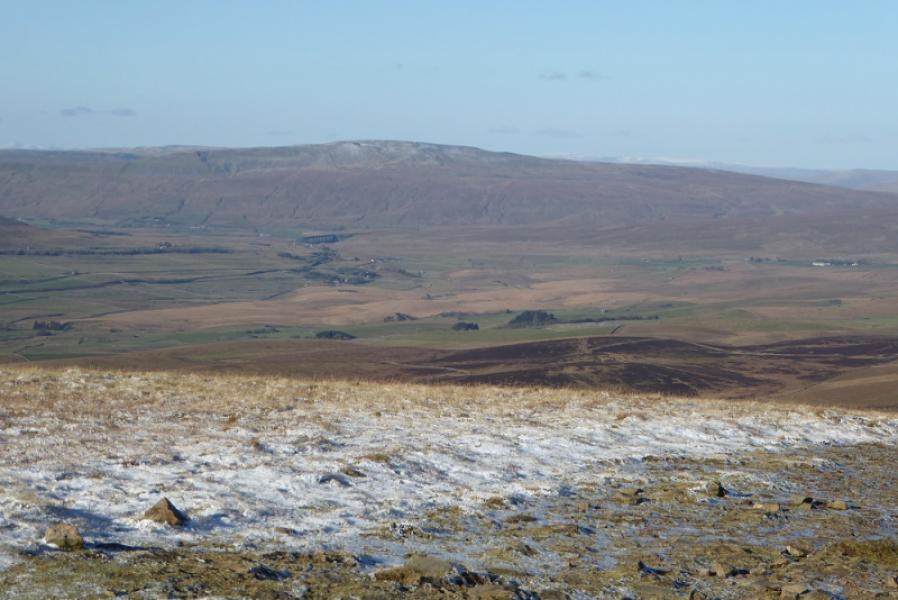
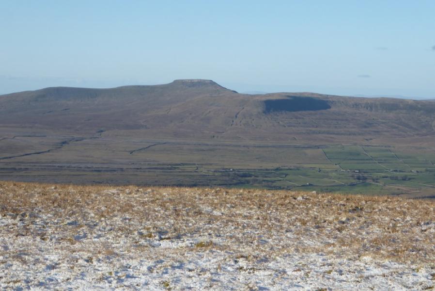
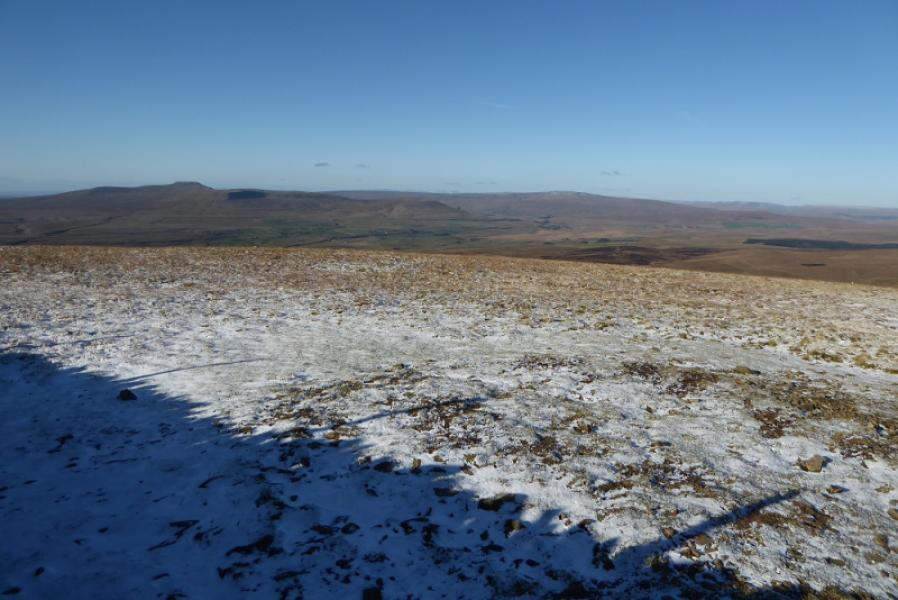
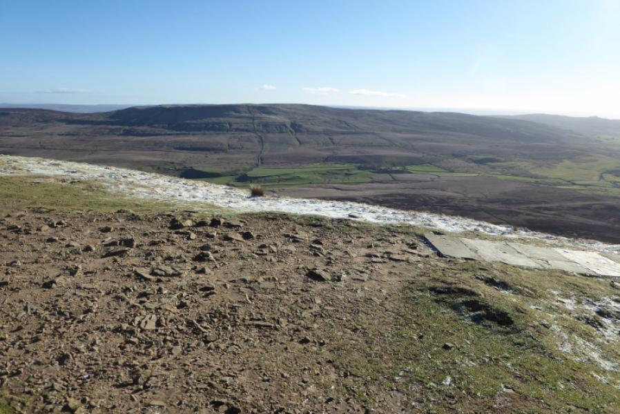
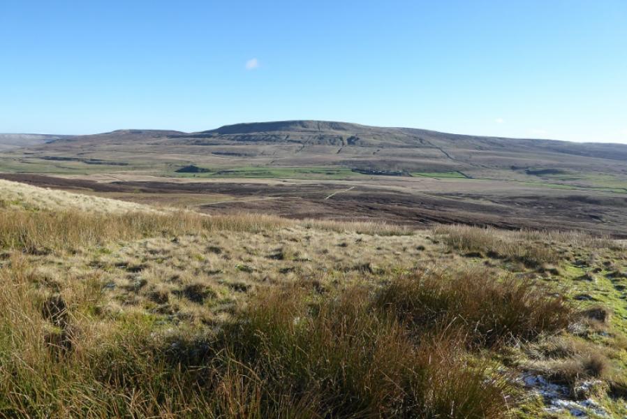
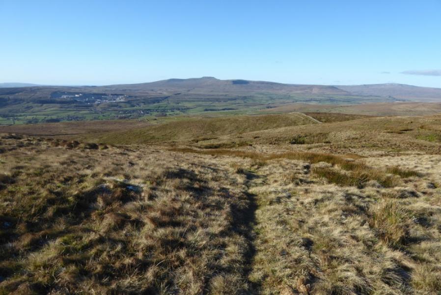
Pen-y-Ghent is the lowest of “The Three (Yorkshire) Peaks” with Ingleborough and Whernside being the other two. Despite this it gives the best ascent of the three with an attractive approach up its rocky southern shoulders. Navigation is very straightforward even in mist but it is best saved for a clear day when the views are superb in all directions. This is an ideal walk for a short winter's day. Hands will be needed on the approach up the rocky shoulders but it is not really a scramble unless one chooses to make it so. Note that, in winter, patches of ice may be found amongst the rocks which means more care than usual is needed especially in descent.
Route
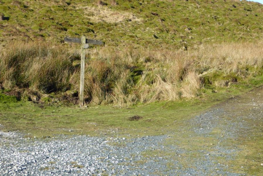
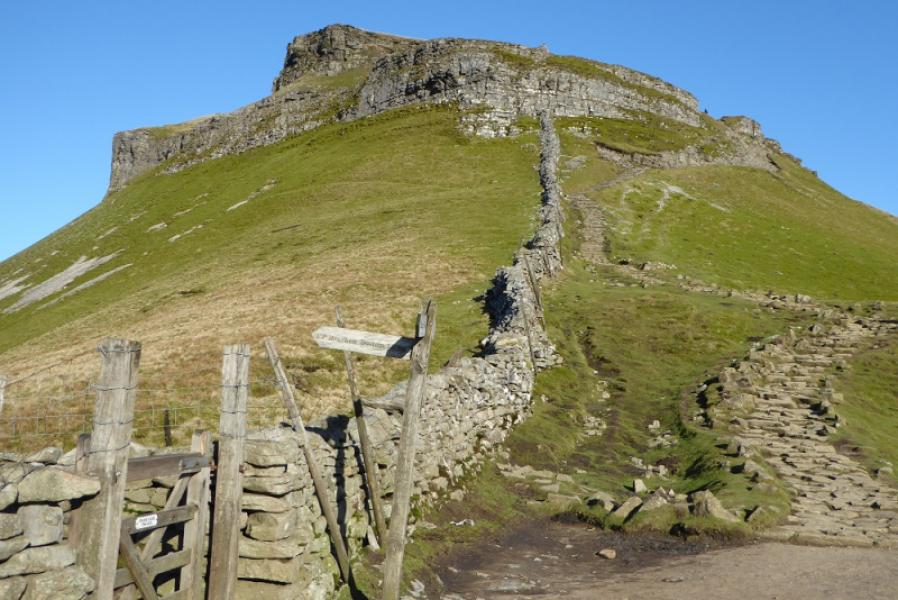
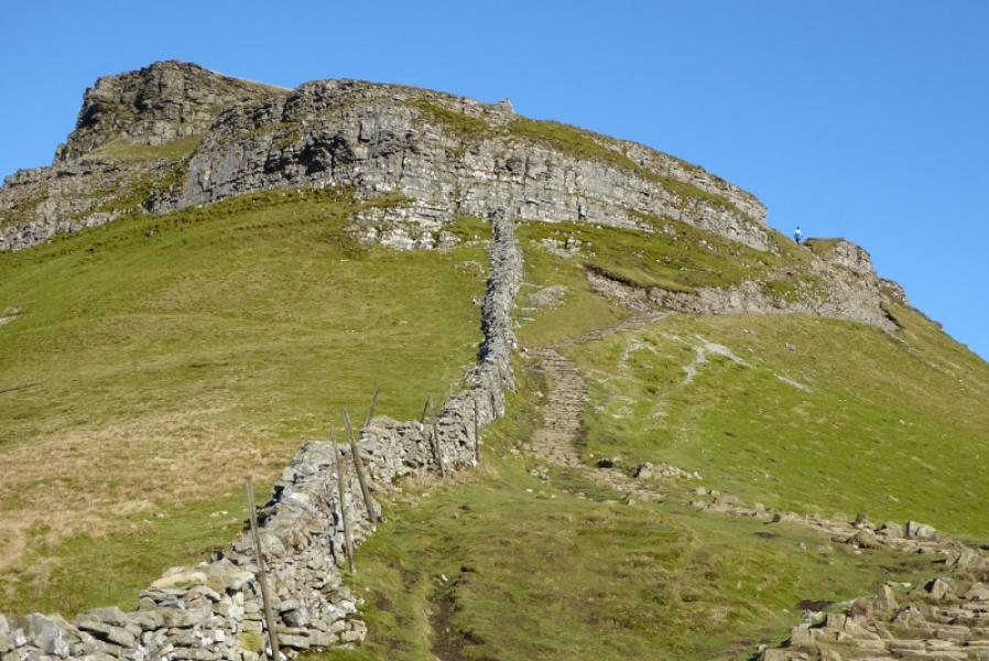
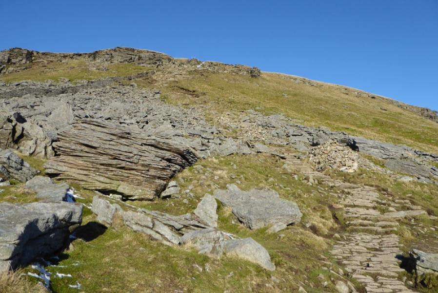
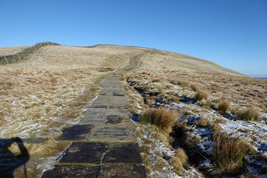
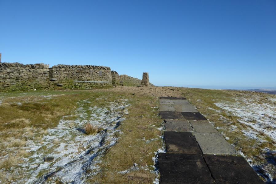
(1) Follow the Pennine Way sign to pass Dale Head and continue on the track to reach a bend where the path leaves the track (which continues to Helwith Bridge). Follow the path up on to the S ridge, crossing a high stone stile on the way. Continue up the path to pass a sign where the path from Bracken Bottom (Horton-in-Ribblesdale) joins the S ridge path. Continue N up the ridge which soon steepens. The path drifts to the right away from the wall on the crest to avoid the rocky nose. Higher up, there is a rocky section where there is a choice of routes and difficulty but scrambling can be avoided. Once above here, the gradient eases and a slabbed path takes over. The trig point is soon reached which is the summit of Pen-y-Ghent, 694 m. This is very close to the wall on the crest which has a small seating area built into it. There is a very useful sign post on the wall.
(2) Retrace the outward route. If the rocky steps are icy but the grassy slopes to the left are snow free and relatively dry then it is possible to outflank the rocks by going left, E, and carefully picking a way down the steep grassy slopes then pick a way across to rejoin the path. This alternative is not recommended if the grass is wet or covered in snow. In warm and dry conditions, it seems better to descend through the rocks by the route of ascent.
Notes
(a) This walk took place on 28th January, 2019.
Photos - Hover over photo for caption. Click on to enlarge. Click on again to reduce.