Get Lost Mountaineering
You are here: England » South Pennines
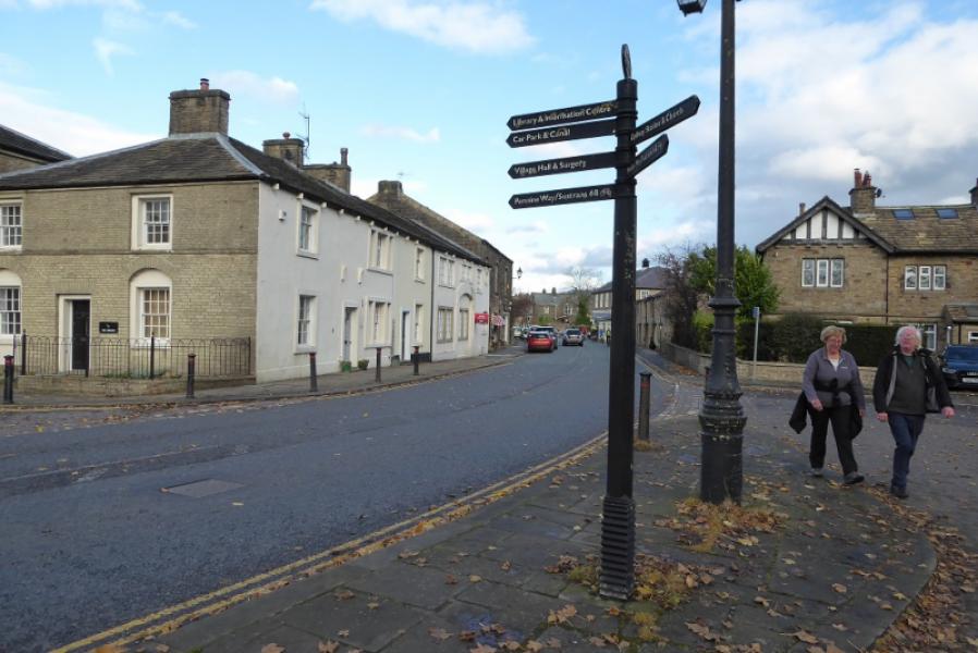
Thornton in Craven to Gargrave via Pennine Way
Thornton in Craven to Gargrave via Pennine Way
Start/Finish
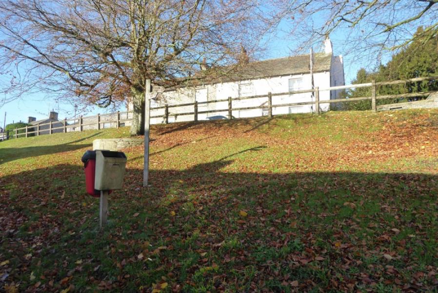
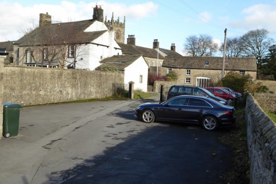
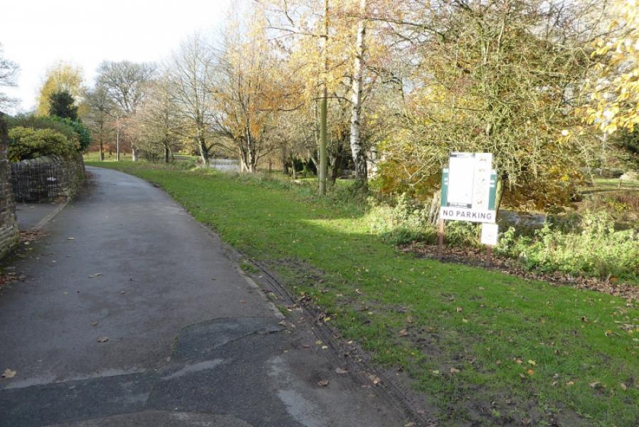
The Old Road below the main road in Thornton in Craven which the Pennine Way follows if heading south. The Pennine Way climbs the bank to the main road just before the start of the Old Road at the eastern end of the village. The Pennine Way crosses the A56 opposite Cam Lane at SD 908 486. Parking is limited so try to park sensibly.
Distance/Time
9 km. (One way). About 2 – 3 hours. Double this if retracing the route.
Peaks
No peaks on this route
OS Outdoor Leisure 10: Yorkshire Dales Southern Area
OS Outdoor Leisure 21: South Pennines. OS 103: Blackburn & Burnley
Both OL maps are needed. Older versions have a missing 1 km gap between them! This may have been corrected on later maps but check beforehand!
Introduction
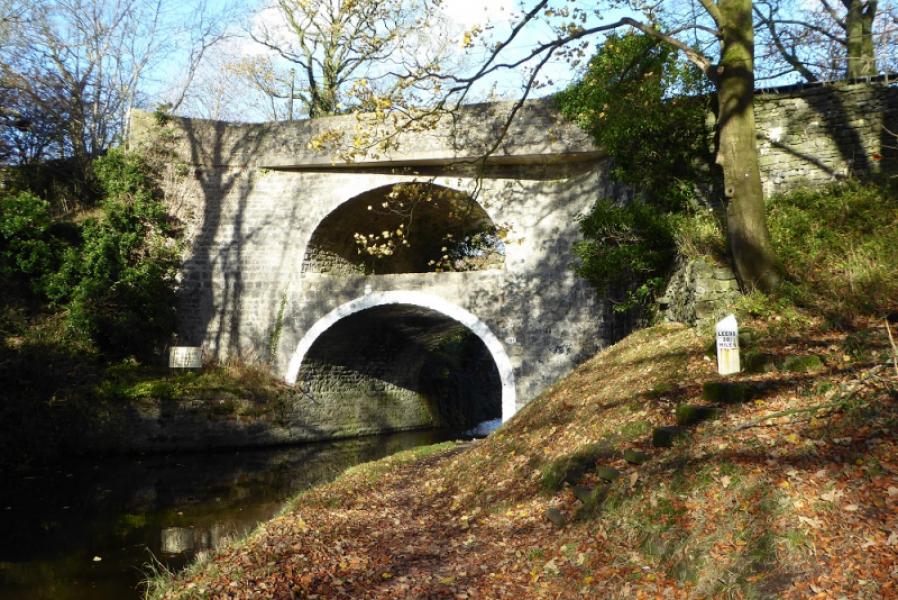
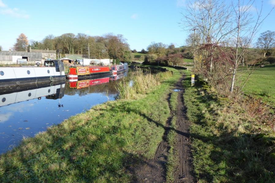
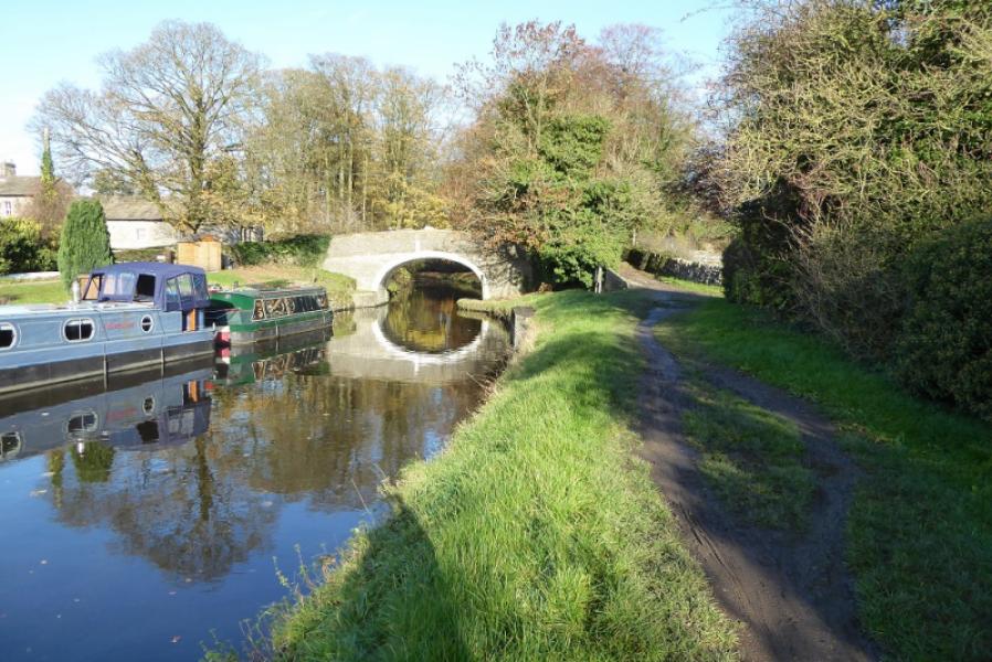
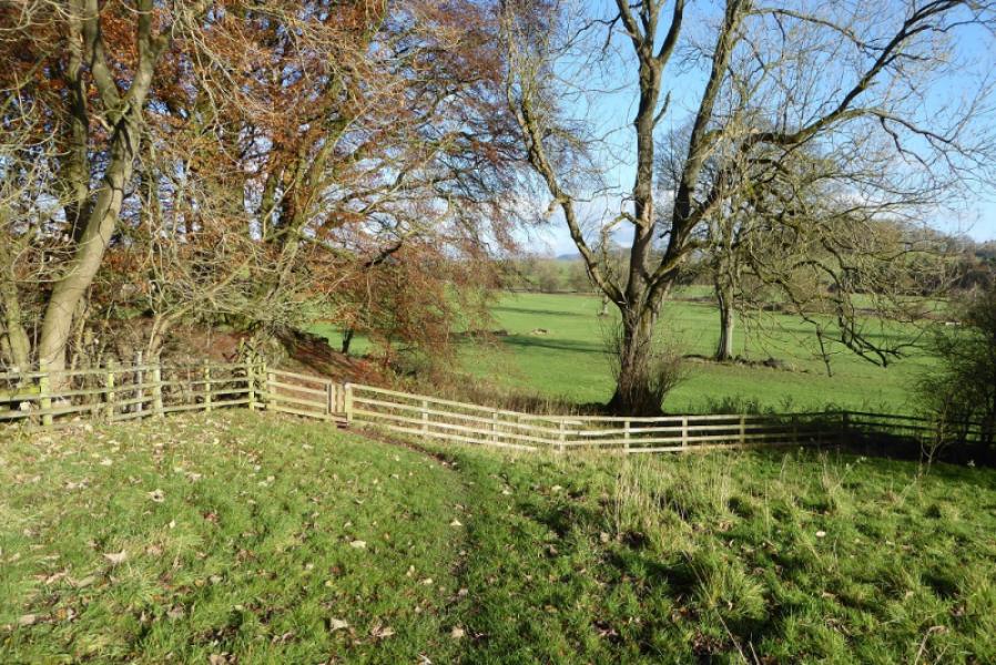
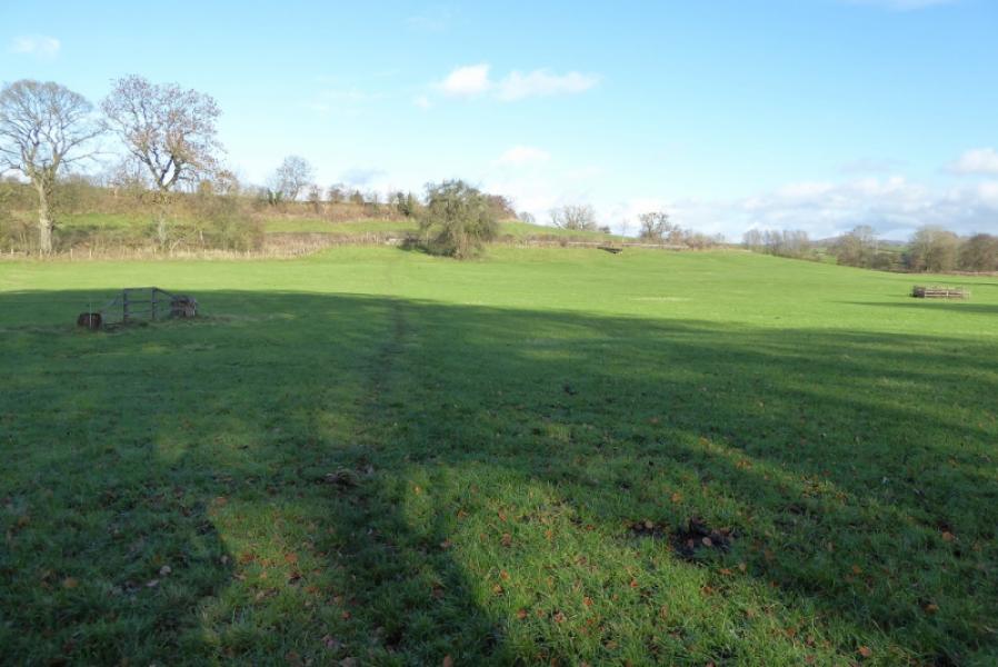
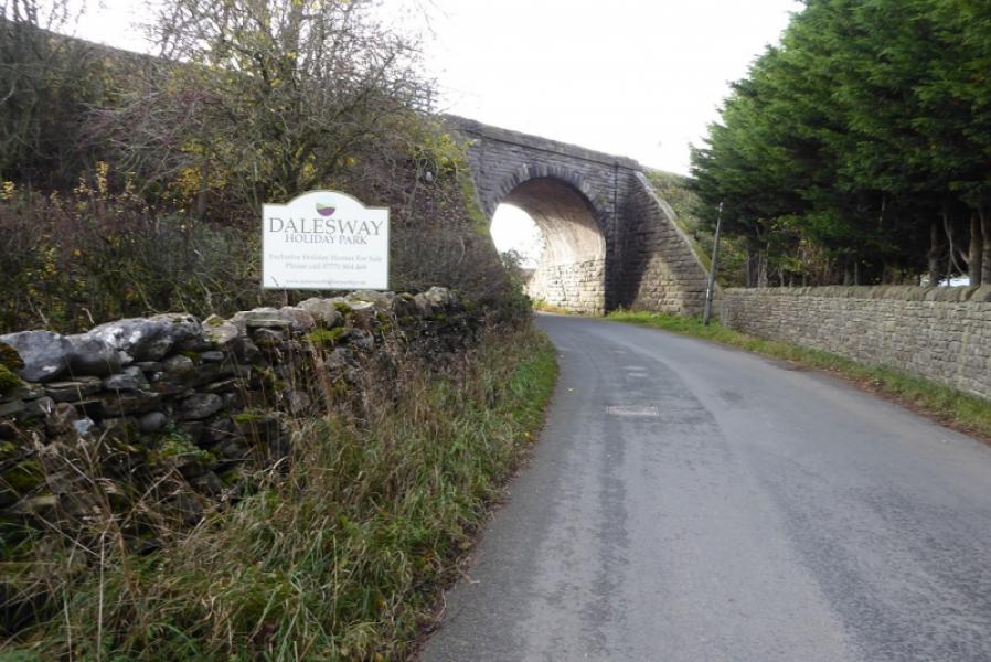
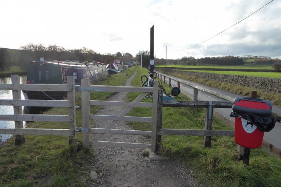
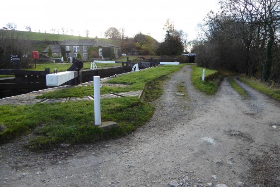
This is a fairly gentle section of the Pennine Way with little ascent. Much of the route is across grassy fields with no well worn paths but the route is generally easy to follow. A short section uses the tow path of the Leeds to Liverpool Canal and passes an unusual double arch bridge with one arch above the other.
Route
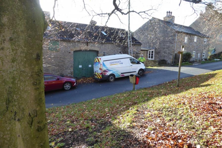
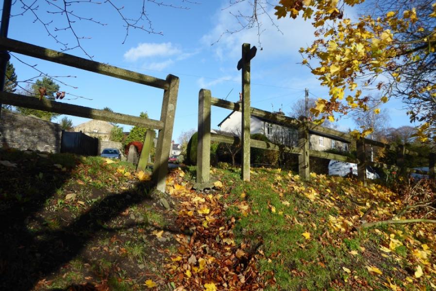
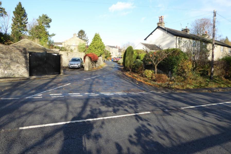
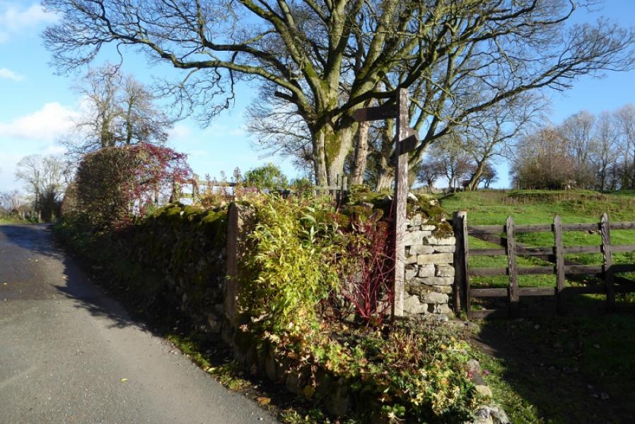
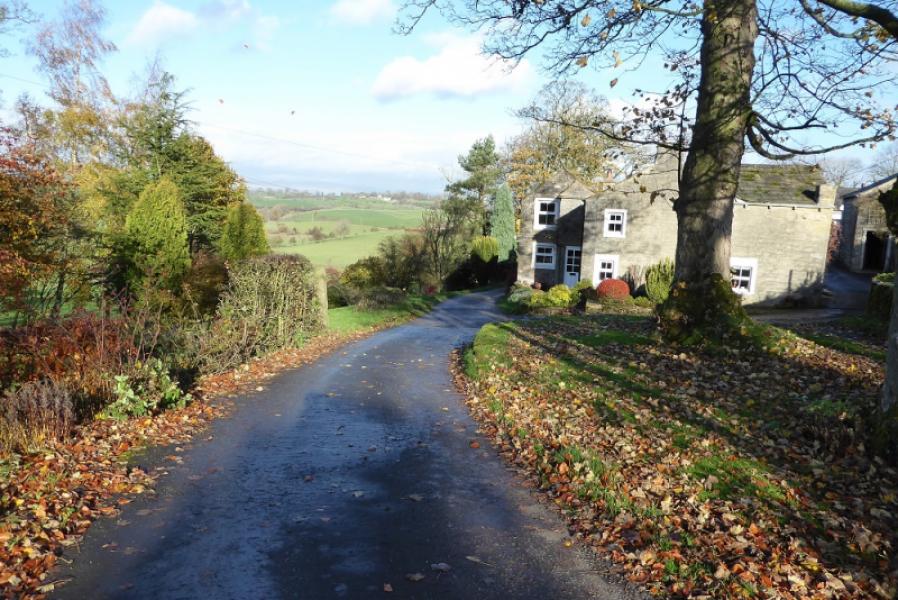
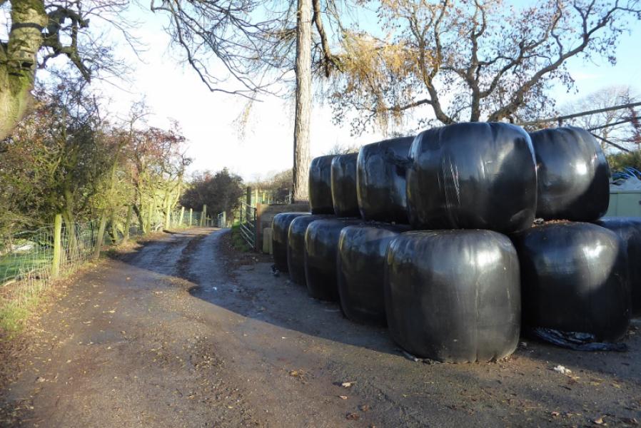
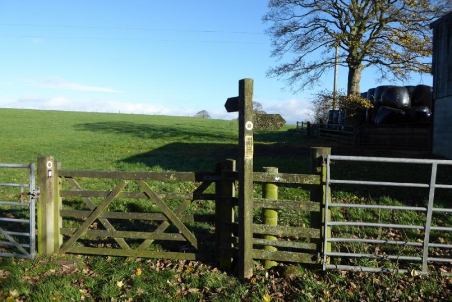
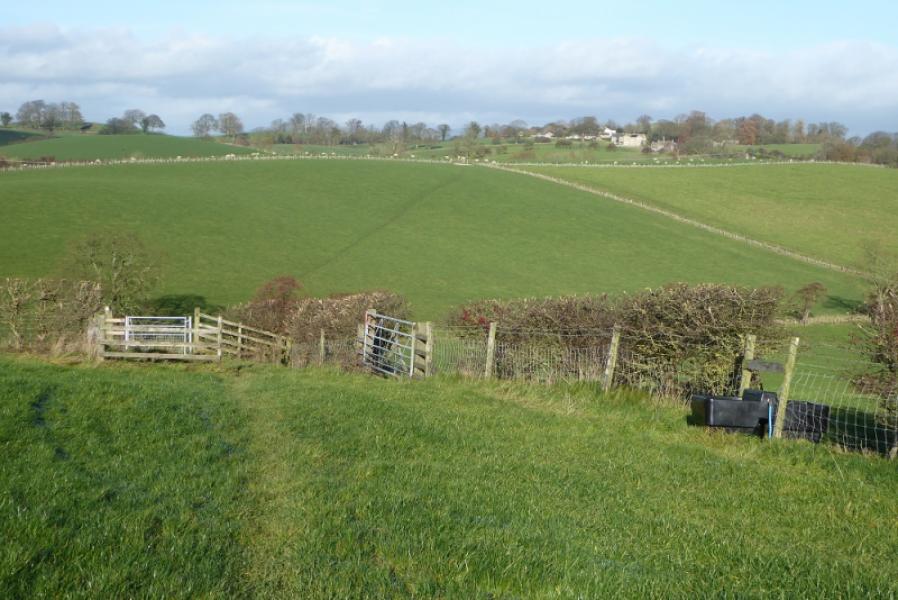
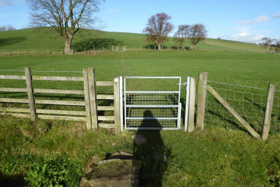
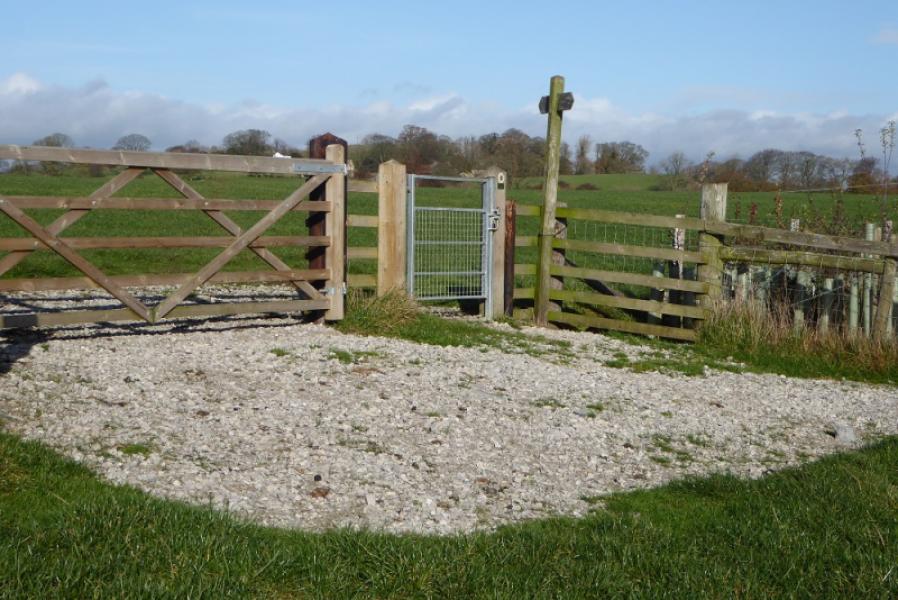
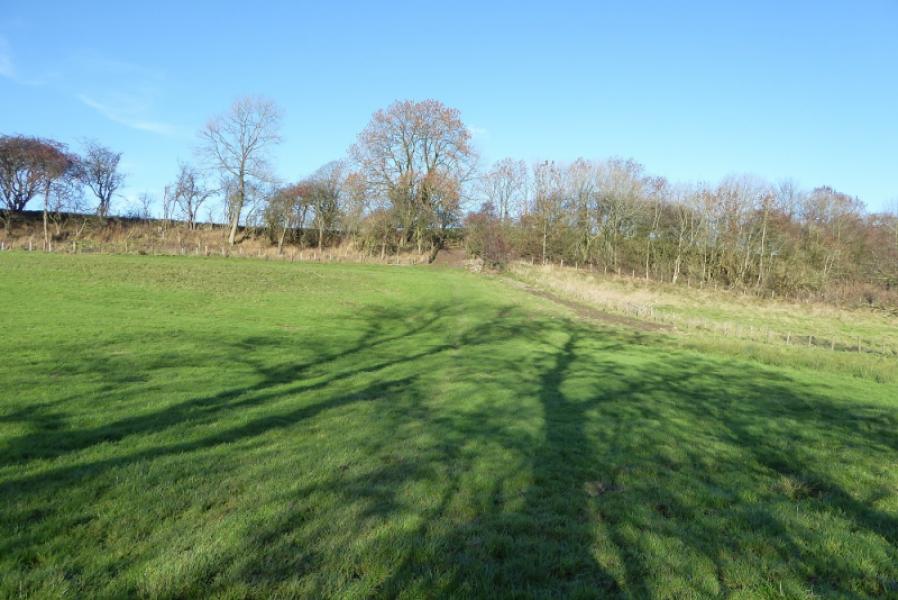
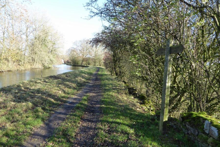
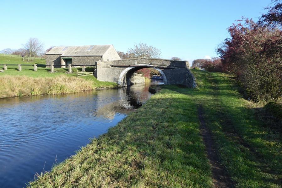
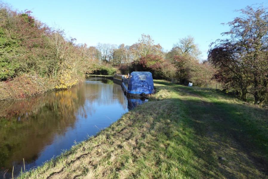
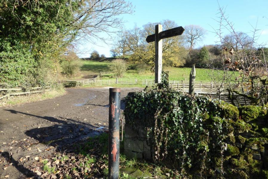
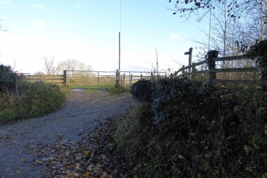
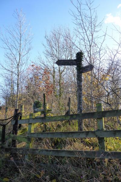
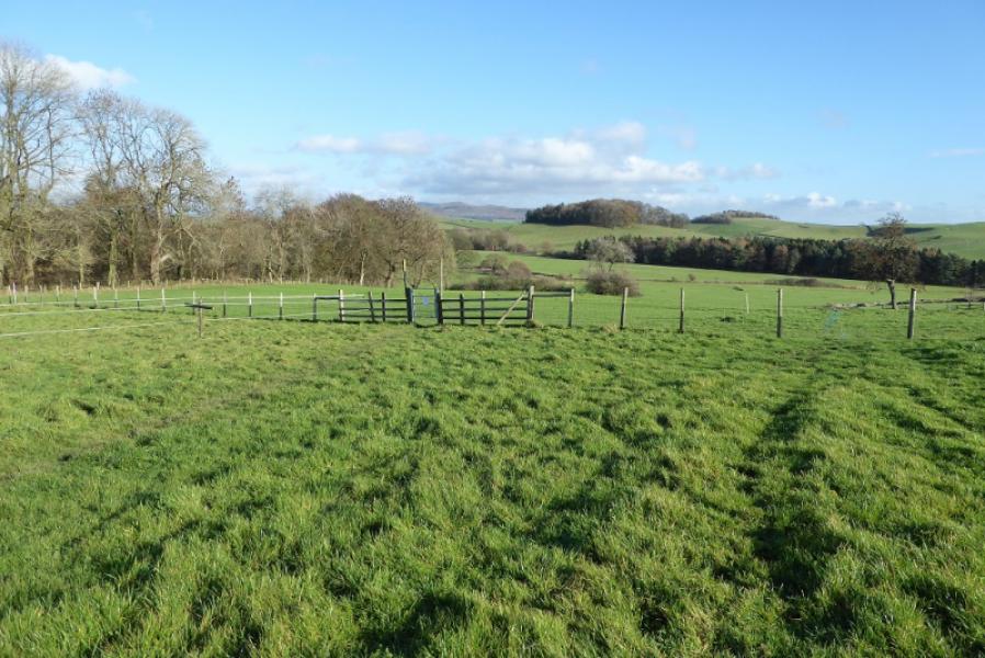
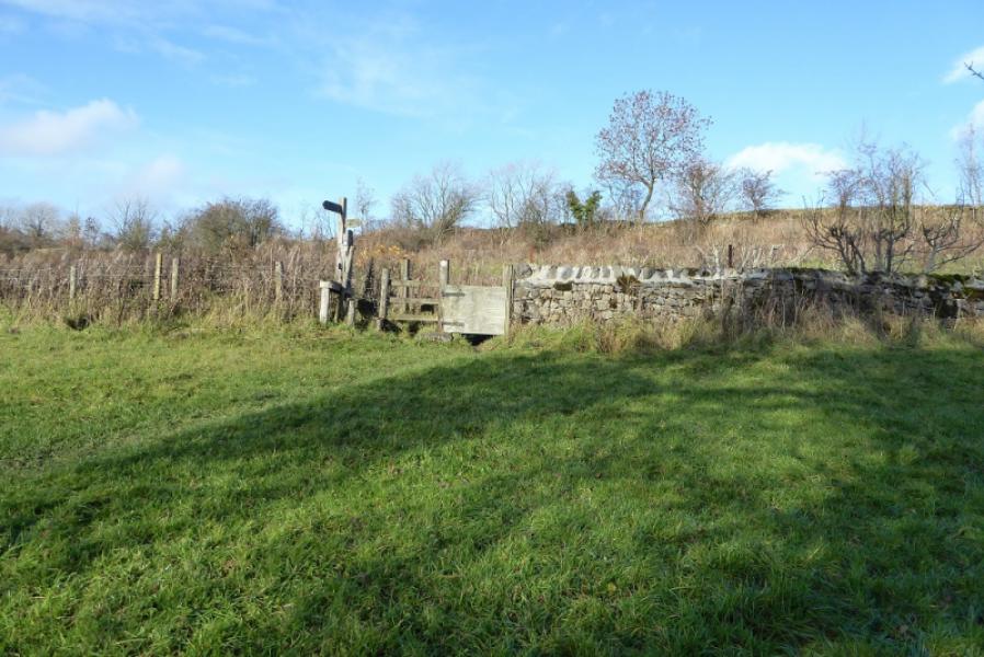
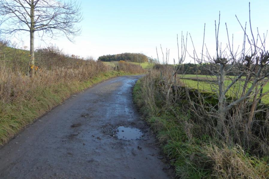
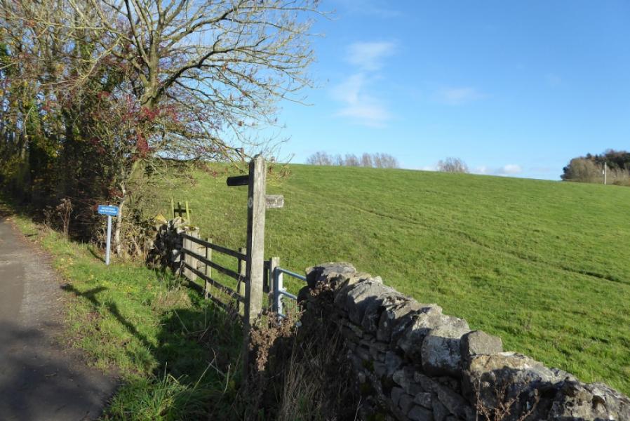
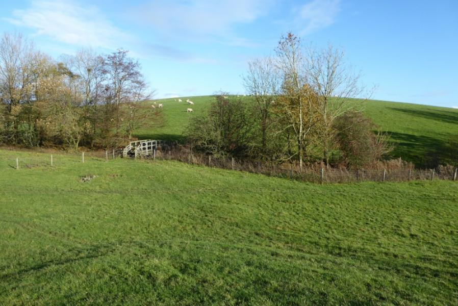
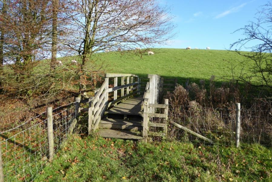
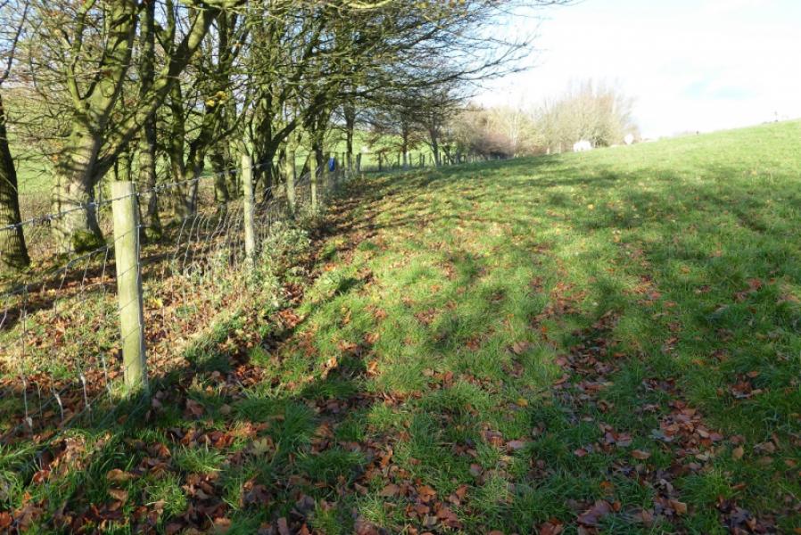
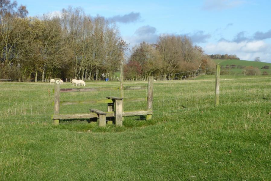
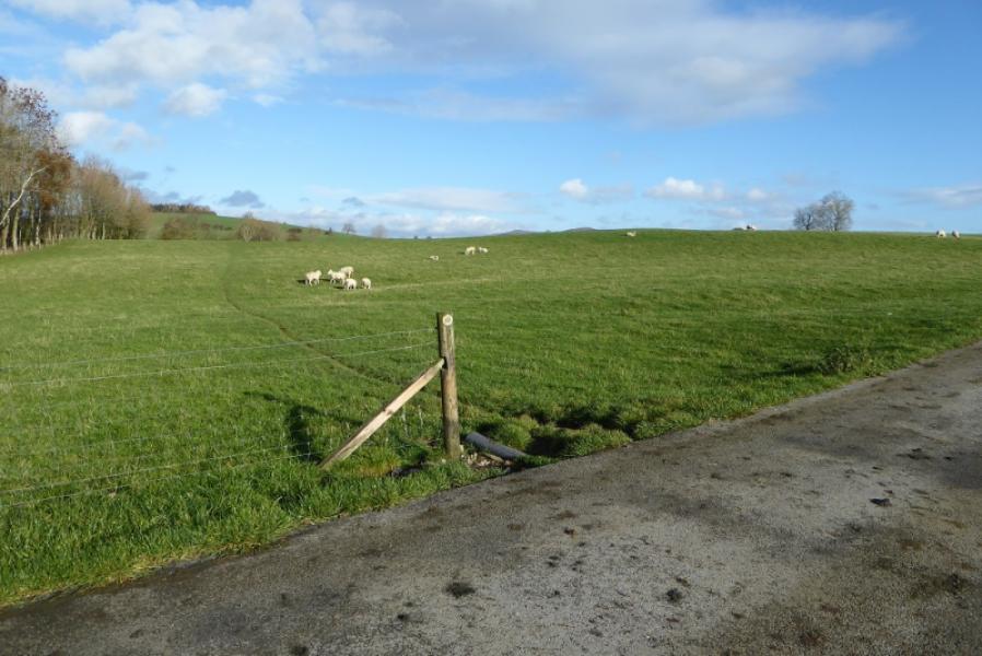
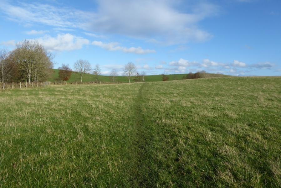
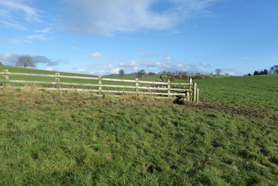
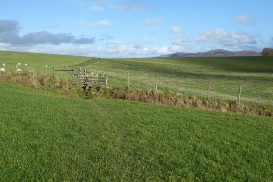
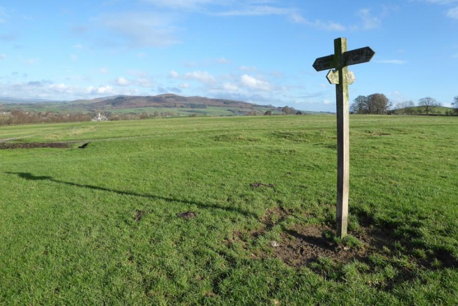
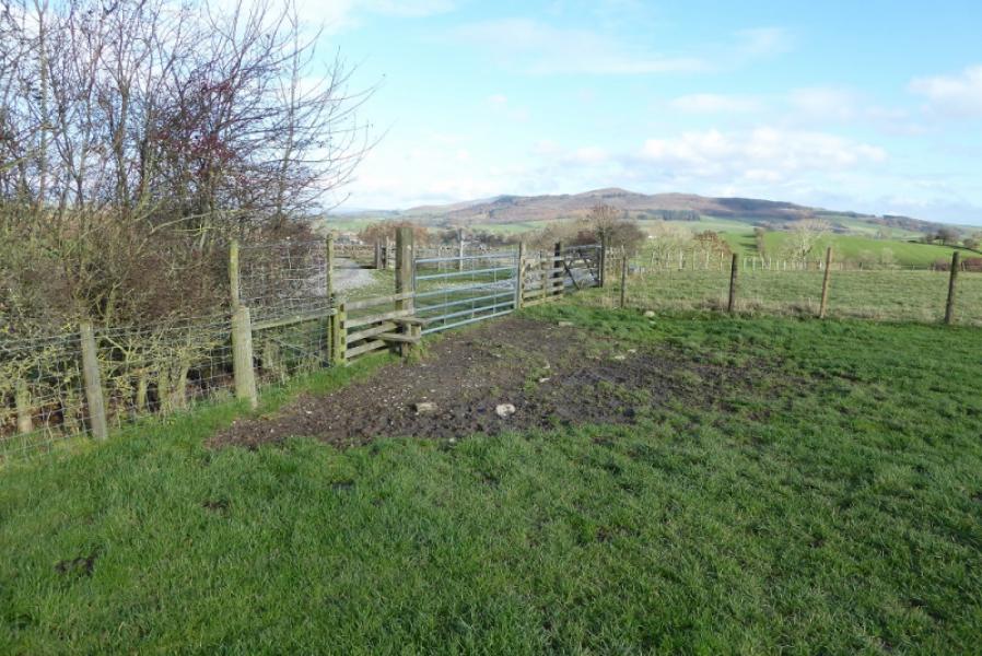
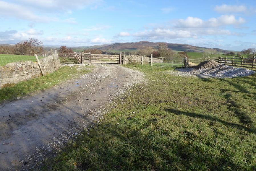
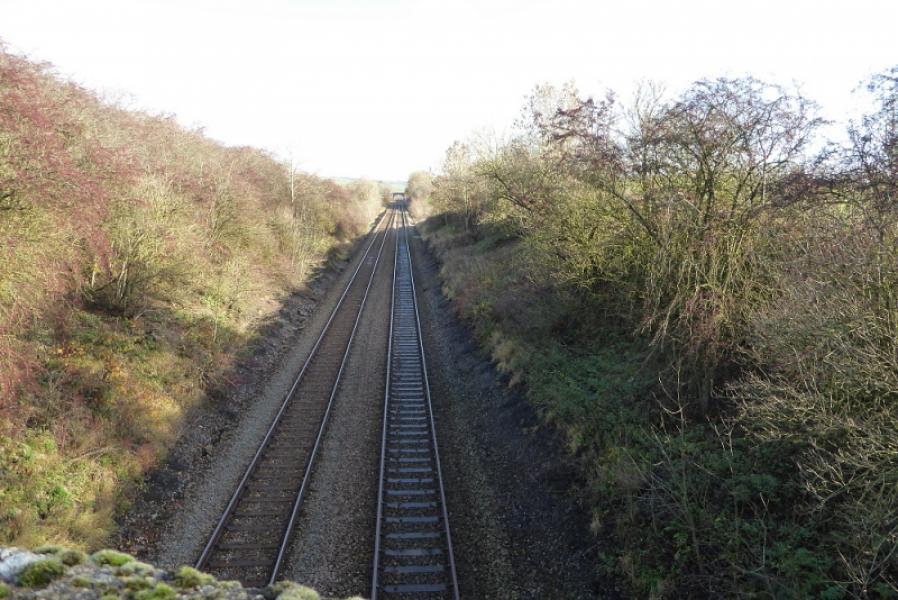
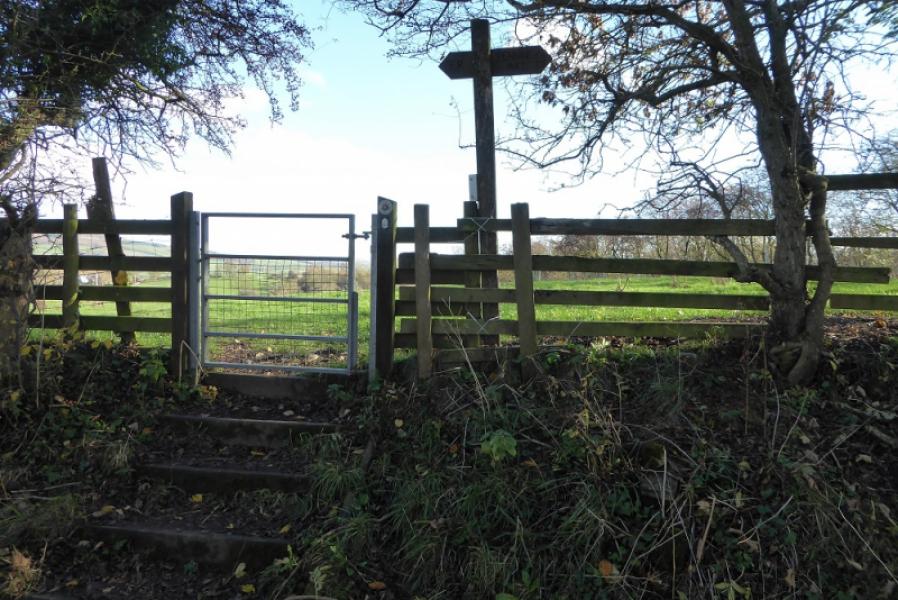
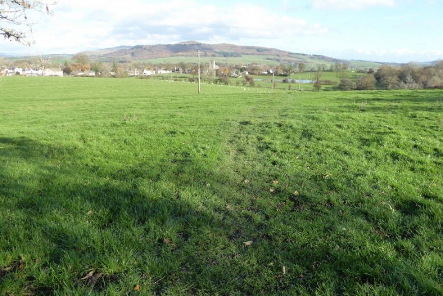
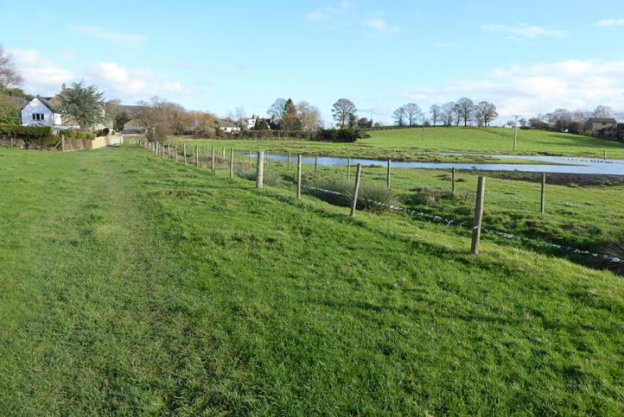
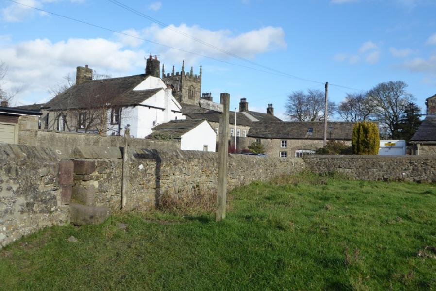
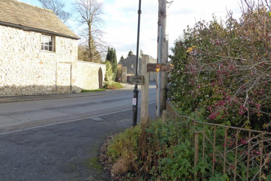
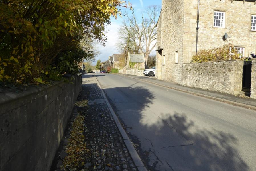
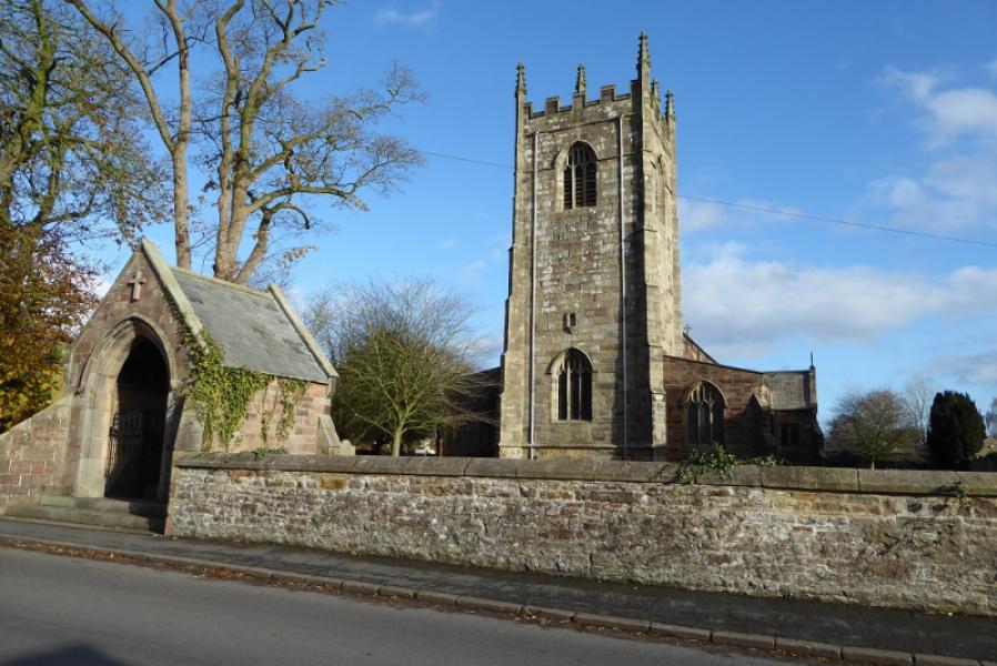
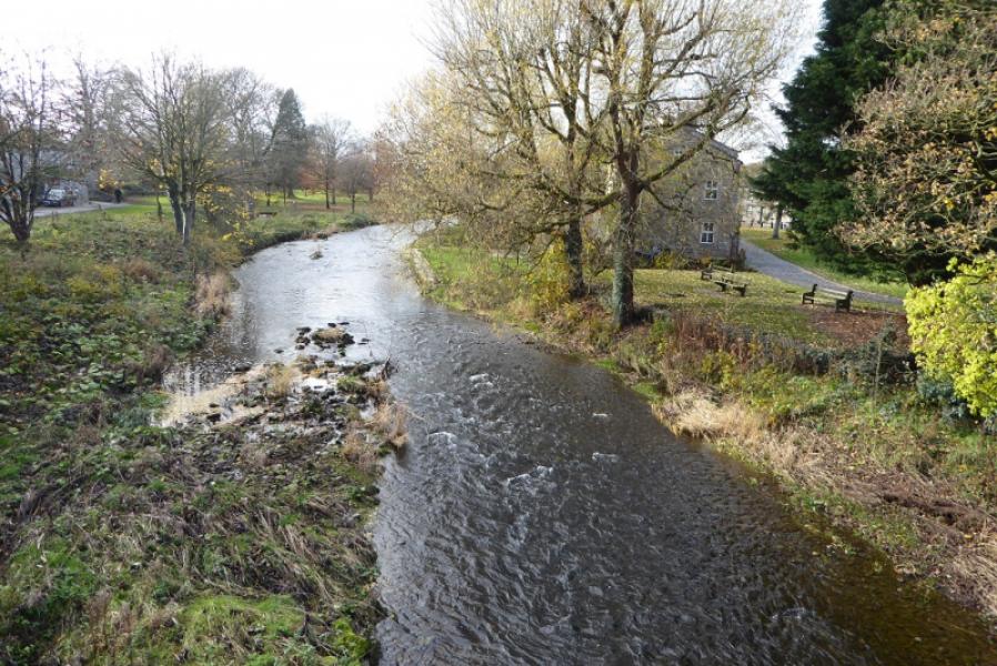
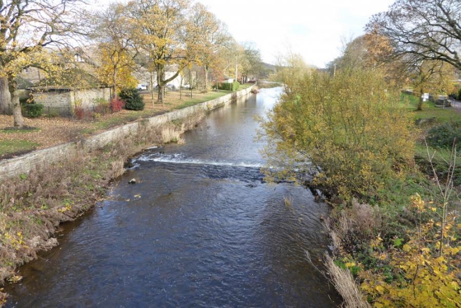
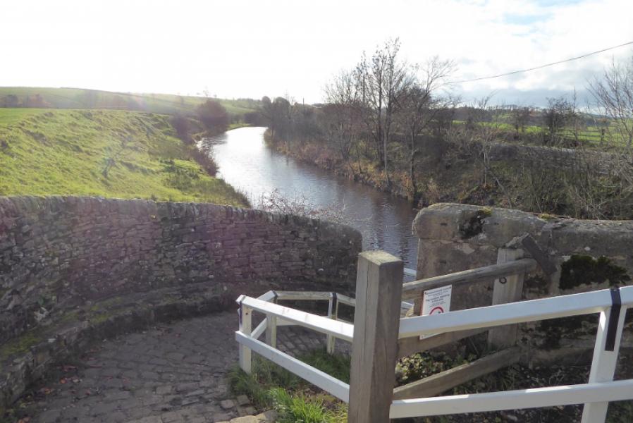
(1) Walk up Cam Lane past the houses and keep going, uphill then downhill. The Pennine Way leaves the lane after a barn and is signed. Follow the up and down grassy path through fields to reach the Leeds to Liverpool Canal. Turn right and follow the tow path past the double arch bridge and the moored boats. There is a cafe across the next bridge but the Pennine Way does not cross over and soon leaves the canal to follow a track before heading across fields again. All this is signed. Follow the Pennine Way and emerge on Moorber Lane. Turn right and pass the entrance to Trenet Laithe. Soon after, the Pennine Way leaves the track to enter more fields. Look for a bridge over a tiny stream to the right of where the path seems to enter the next field. Cross the bridge and follow the edge of the field. You are heading roughly in the direction of Scalebar but you pass well to the E, right, of it. Continue following the signed path. Pass a path crossroads then reach a lane. Turn right and go through the middle gate. Follow Mosber Lane and cross the railway. Soon after, and not very obvious, the Pennine Way goes off to the right and crosses more fields to pass a large duck pond then reaches a road. Turn left and walk past the church and pub. Cross the bridge over the River Aire to reach the main road, A65. Toilets are a short distance to the right. The continuation of the Pennine Way is across the road from the toilets.
(2) If you have to return to Thornton in Craven then either retrace the Pennine Way or return by walking along the road, W, from the pub. Pass under the railway and soon reach the canal. Stay on the road alongside the canal until you can access the tow path. Follow the canal back to East Marton then retrace the Pennine Way back to Thornton in Craven. The canal meanders quite a lot; a more direct route is to leave the tow path S of Bank Newton and follow the road/track through Newton Grange Farm until it intersects with the Pennine Way.
Notes
(a) This walk took place on 12th November, 2018.
Photos - Hover over photo for caption. Click on to enlarge. Click on again to reduce.