Get Lost Mountaineering
You are here: Scotland » 10b Loch Eil to Glen Shiel » South of Loch Morar & Loch Arkaig
Aodann Chleireig from Fassfern
Aodann Chleireig from Fassfern
Start/Finish
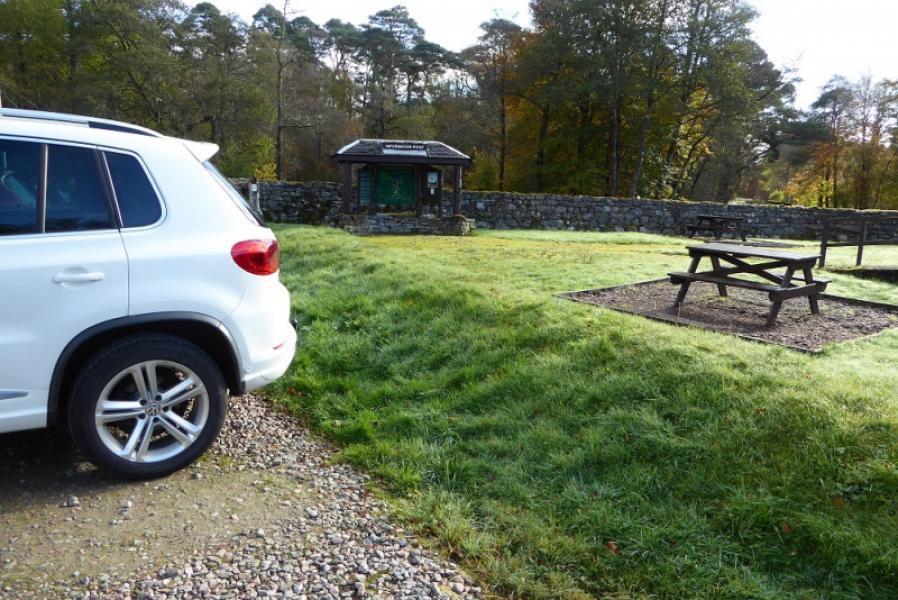
Public car park in Fassfern, off the A 830, which is about 7 miles W of the Mallaig turning in Fort William. There is usually plenty of parking space.
Distance/Time
14 km About 5 hours
Peaks
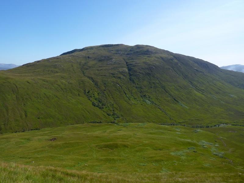
Aodann Chleireig, 663 m, NN 994 825. OS sheets 40 & 41.
Introduction
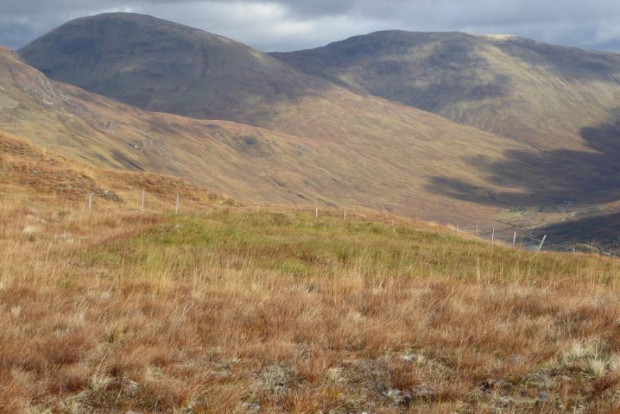
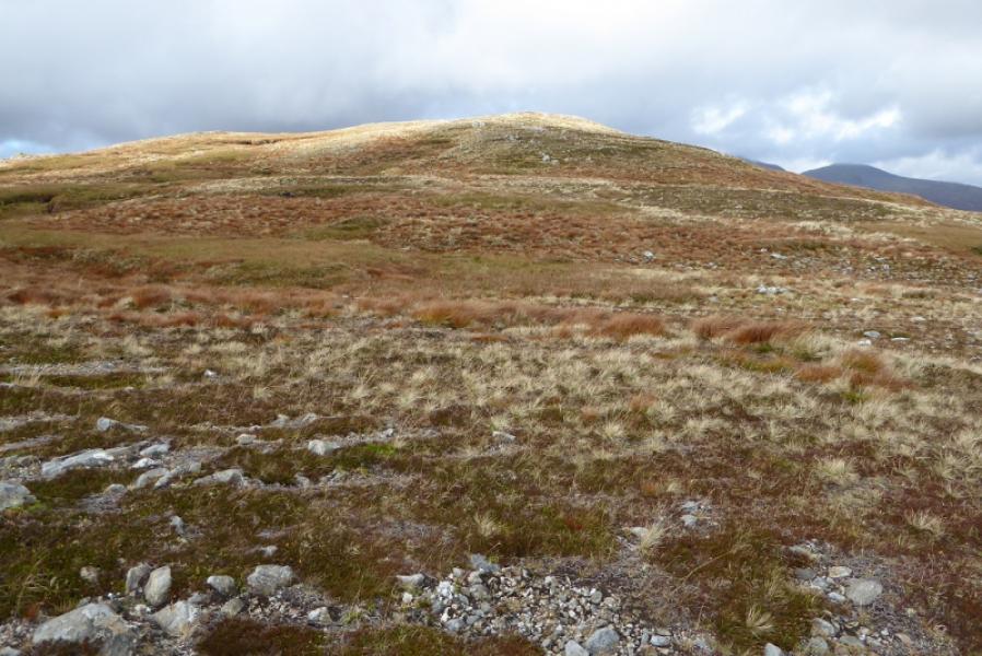
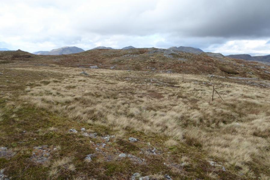
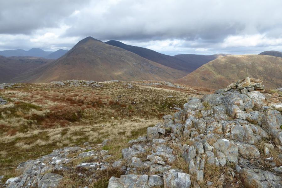
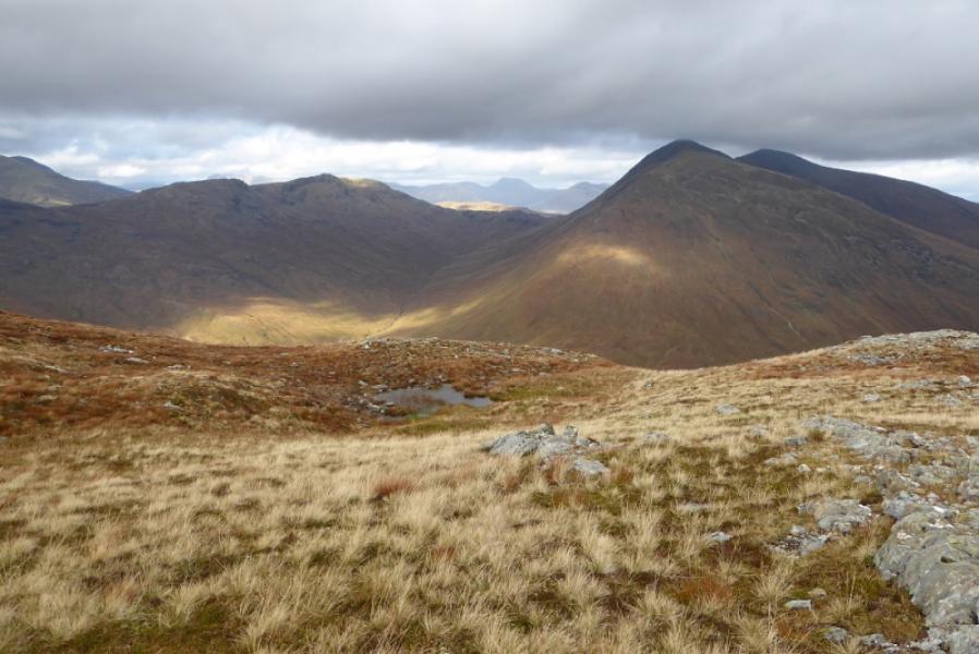
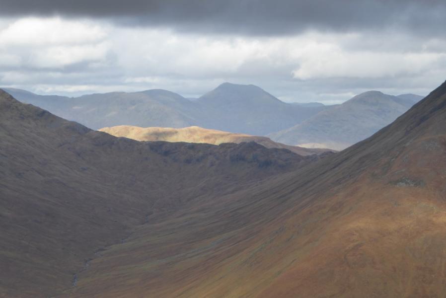
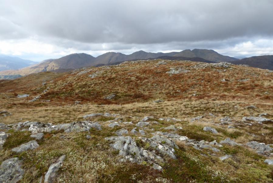
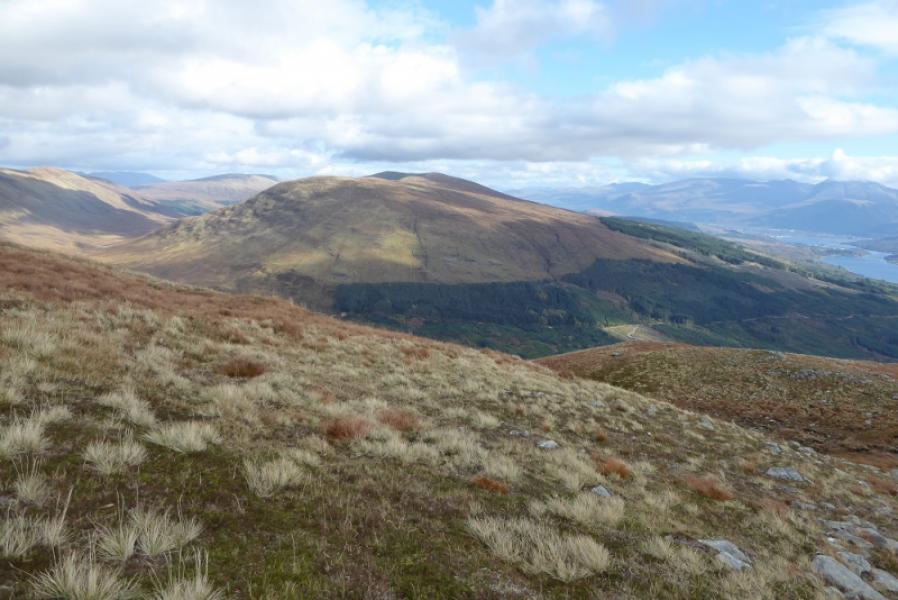
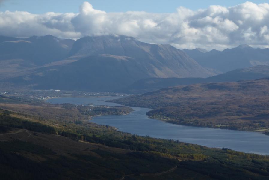
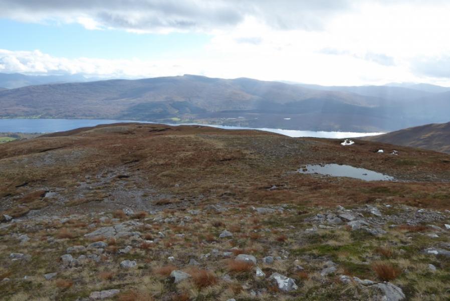
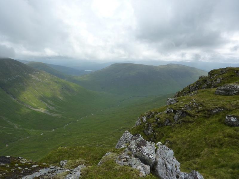
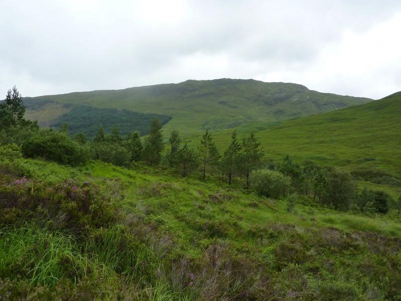
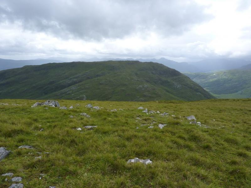
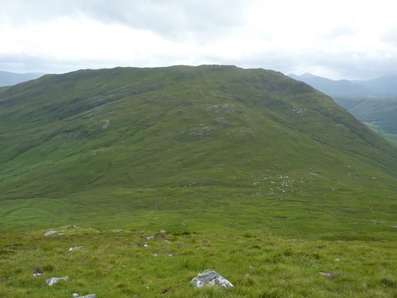
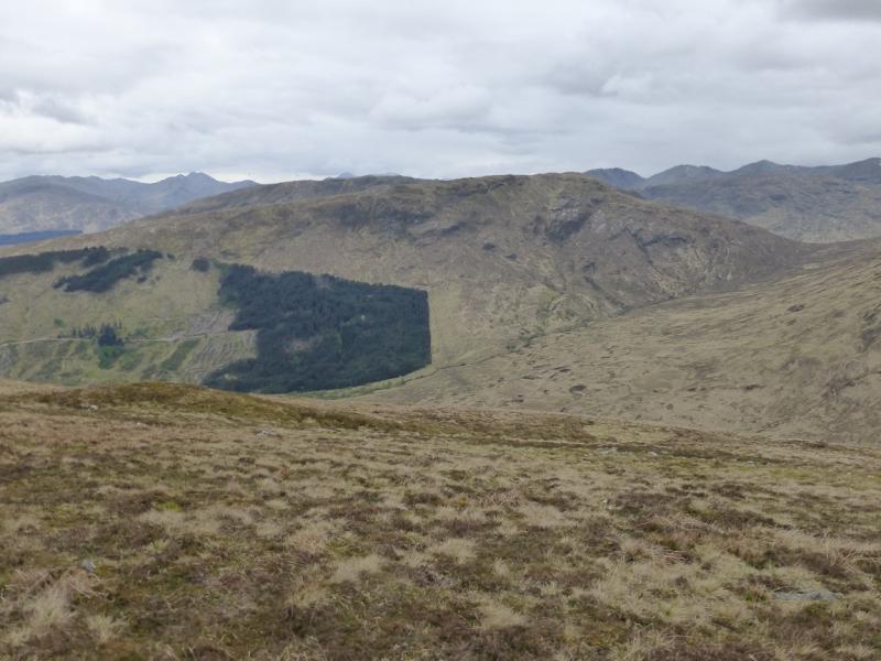
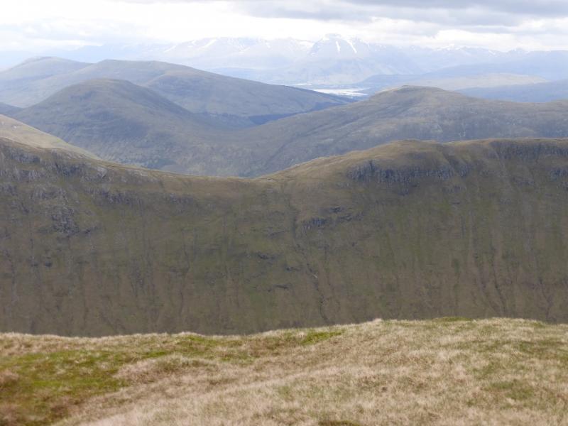
Aodann Chleireig is surrounded by forestry on the obvious approaches from Fassfern. However, in 2018, an area on its south east flank was cleared giving more open, but rough, access to its south ridge. On a clear day, there are panoramic views in all directions including Ben Nevis, Grey Corries, the hills above the Mallaig road and the Loch Arkaig hills but Druim Fada and Gulvain are most prominent. Even Sgurr Mor can be seen well to the north.
Route
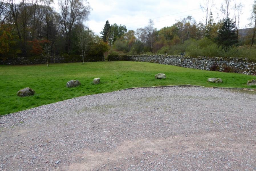
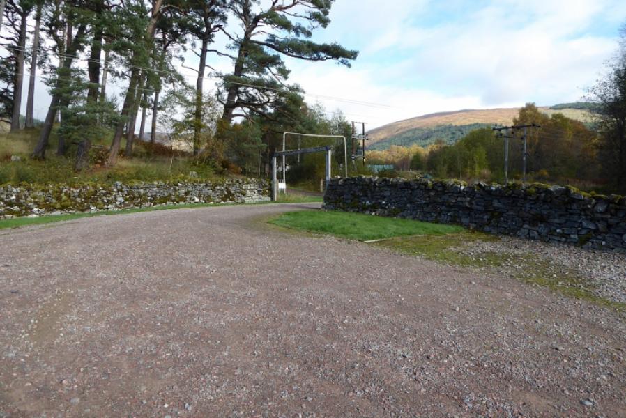
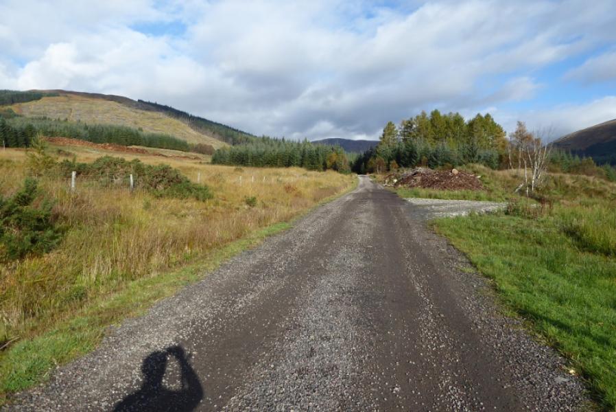
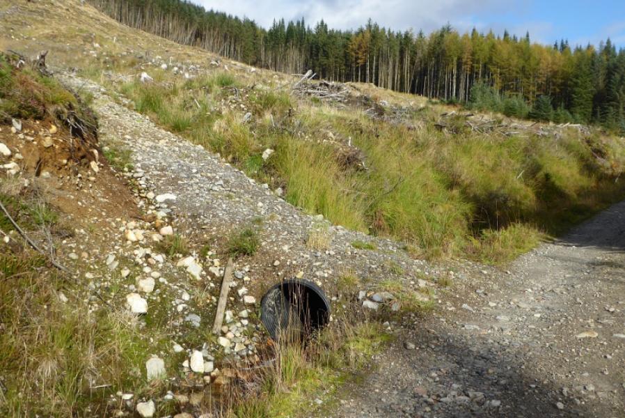
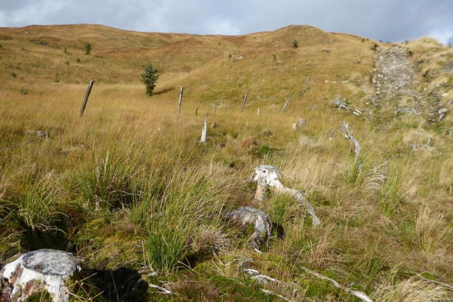
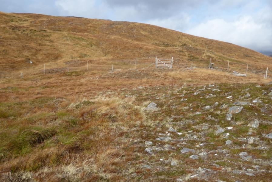
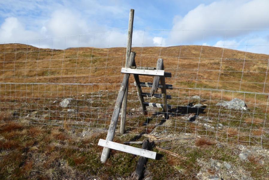
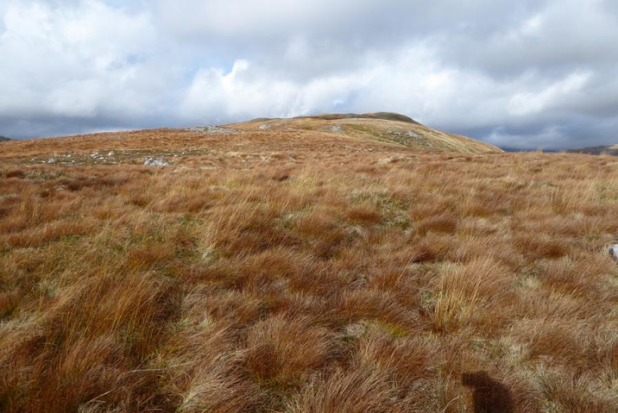
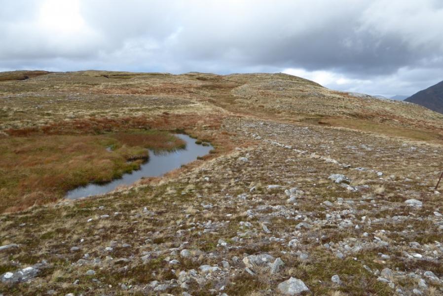
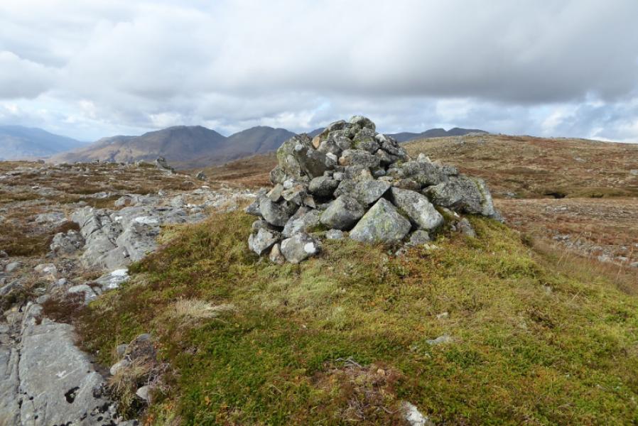
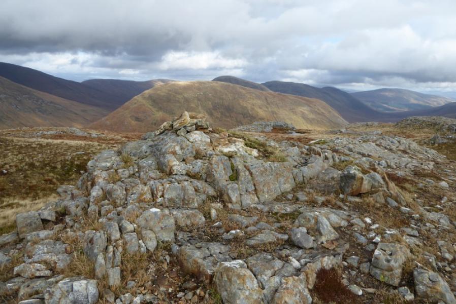
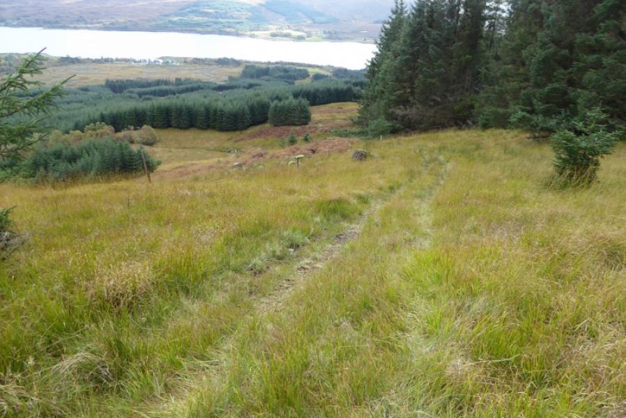
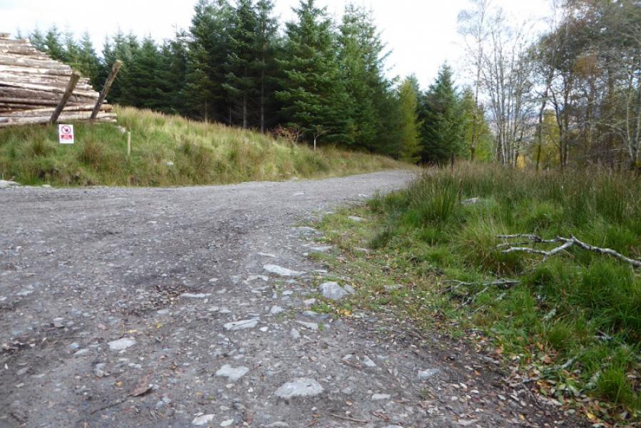
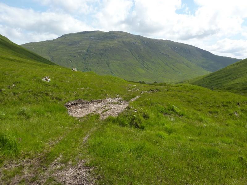
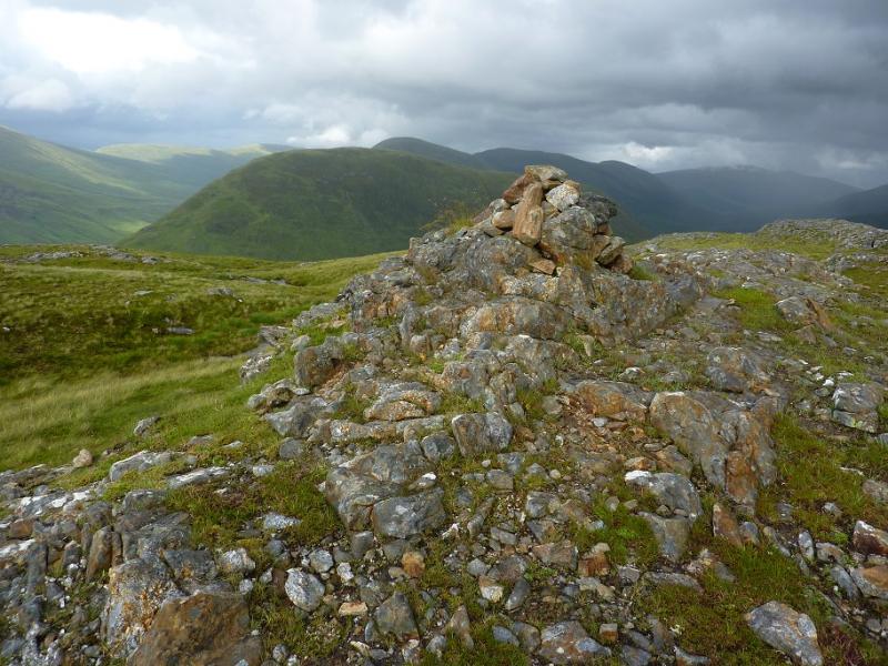
(1) Leave the car park by the car exit and turn left. Follow the track past where a major track goes left then the red route does as well. Soon after, a narrow gravel track goes uphill over a pipe. Follow this up, ignoring any branches, to its end. The way ahead is over felling debris but it isn't too bad and one can pick a way up, albeit slowly, gradually drifting left until one is above the felled area and on open ground. Continue up, drifting left to intercept an ATV track. Follow this up to a deer fence at a gate and badly broken stile. On 15/10/18, the gate was nailed closed so it has to be climbed over. Continue up the easy but pathless ridge. Higher up a line of old fence posts come in from the right and these can be followed. They pass 10 m to the S of the small summit cairn on a small outcrop which is the summit of Aodann Chleireig, 663 m and looks towards Gulvain. A larger but lower cairn is about 200 m to the W.
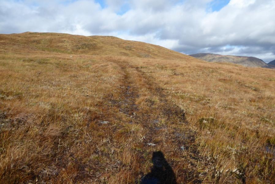
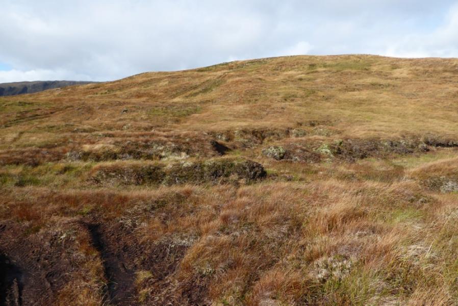
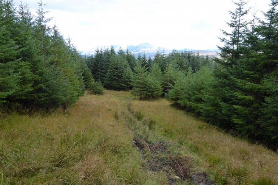
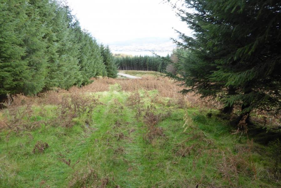
(2) Retrace down the ridge but stay on the ATV track and follow it all the way down the ridge. The track used to pass between the narrow gap between the two plantations but it is now more open due to felling on its left, E, side. The track crosses a short boggy area then ascends slightly before continuing then curving left to enter the forest. Follow it down to join a major track by either crossing a ditch or taking a right turn just before. Turn left onto the major track and follow it until the red route, way marked posts, crosses it. Turn right and follow the red route back to the car park.
Notes
(a) This walk took place on 15th October, 2018.
(b) The access across the felled area may be short lived in which case reverse the descent route. Leave the car park by the small gate, across the grass, and follow the red route to where it crosses a major track. Turn left and follow the major track until a grassy track starts across a deep ditch. There is a boulder on this track. Alternatively, stay on the major track for another 100 m to avoid the ditch. This is the ATV track which leads up the S ridge of Aodann Chleireig.
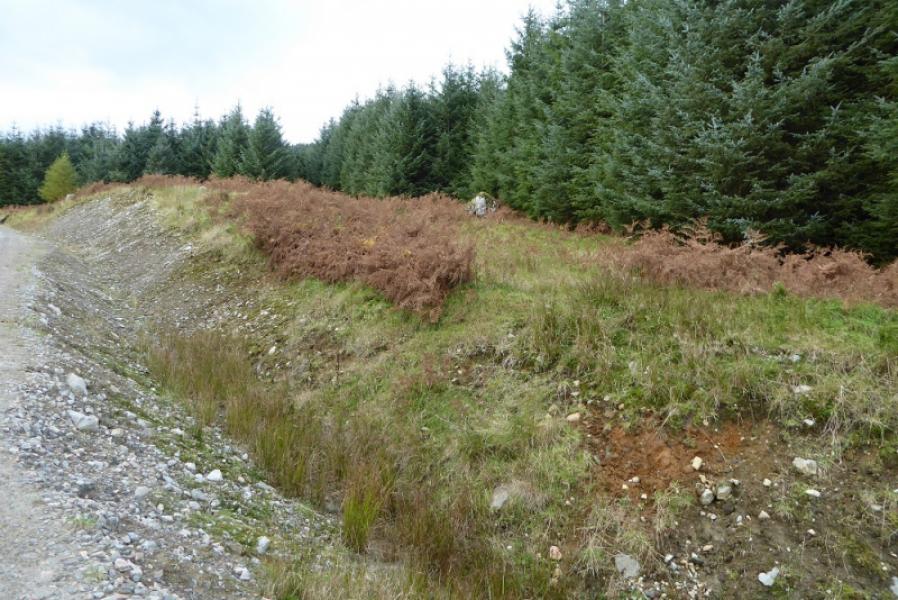
Photos - Hover over photo for caption. Click on to enlarge. Click on again to reduce.