Get Lost Mountaineering
You are here: Ireland » West » Achill Island
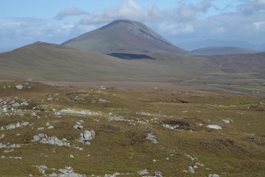
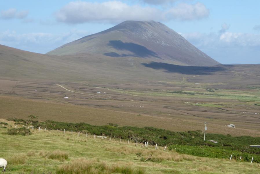
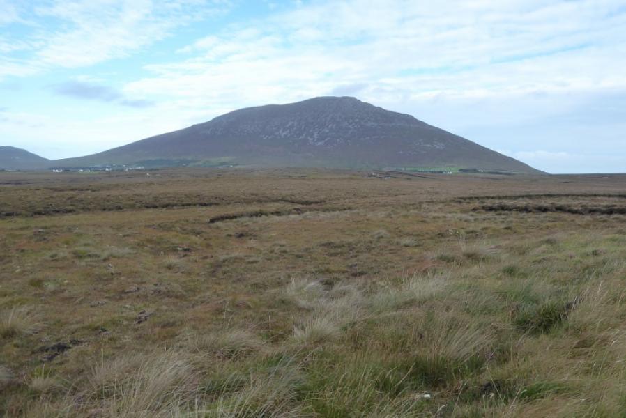
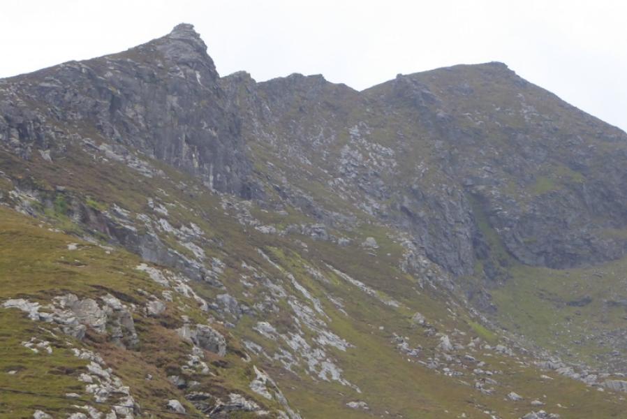
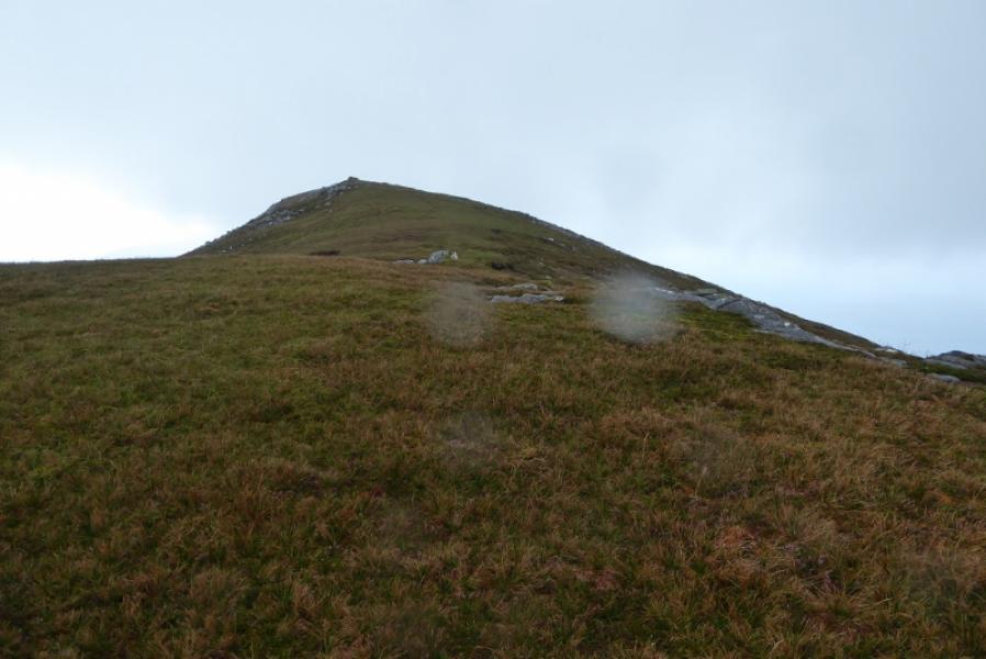
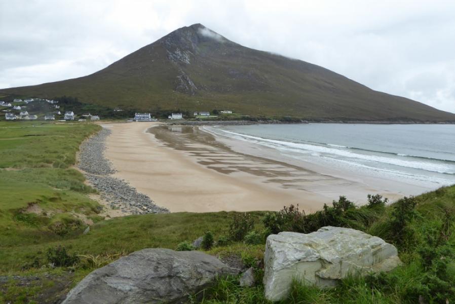
Slievemore from Dugort
Slievemore from Dugort
Start/Finish
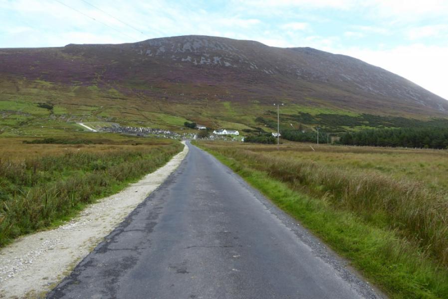
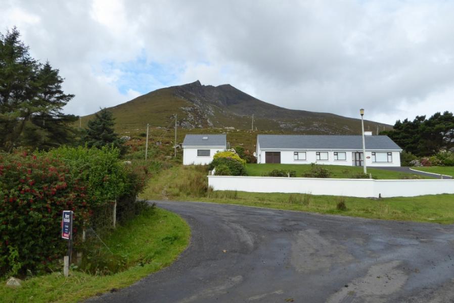
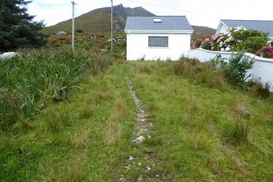
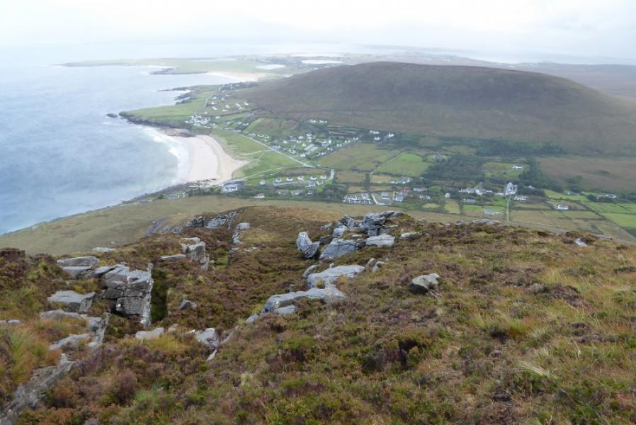
Dugort on Achill Island. Leave the R319 (main road across island) at the sign for the Deserted Village and follow the road to a T junction. Don't turn left for the Deserted Village but go right for Dugort. Drive almost to the sea when the road forks. Go left and pass the Strand Hotel. Shortly after, a minor road goes left. Park opposite its start. There is a white cottage with a white converted garage to its left. The path starts to the left of the garage.
Distance/Time
5 km. About 4 hours.
Peaks
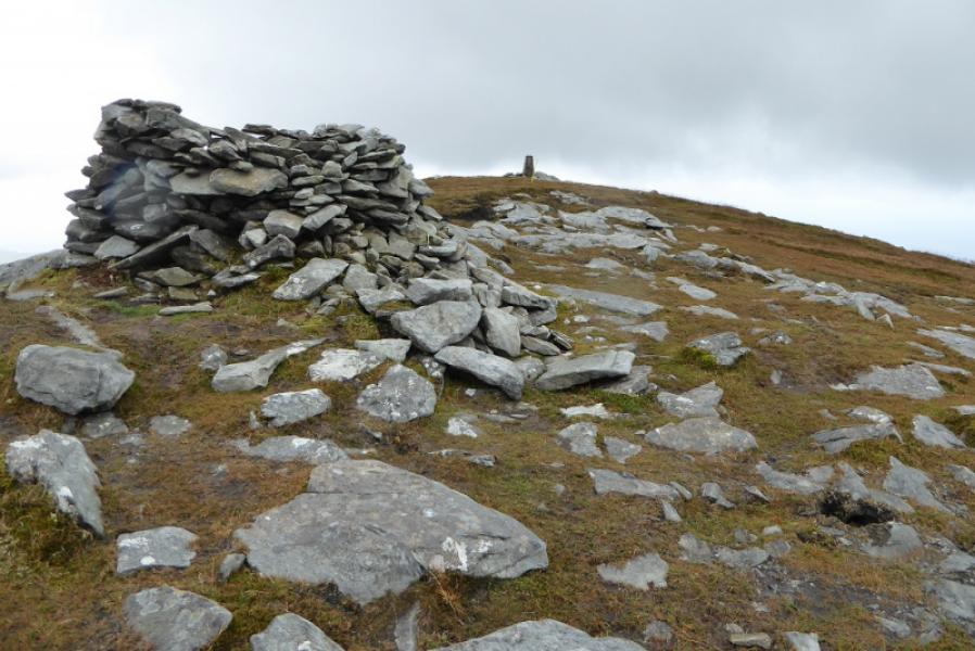
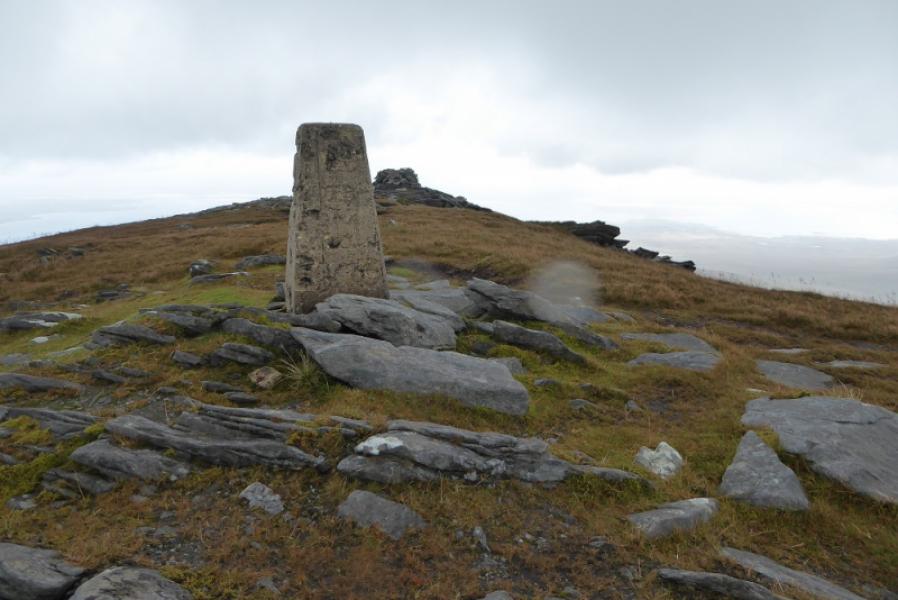
Slievemore, 671 m, F 650 086. (Irish National Grid System)
Irish OS Discovery Maps 30
A much better map, on a larger scale, is Achill & Corraun and Clare Island published by East West Mapping.
Introduction
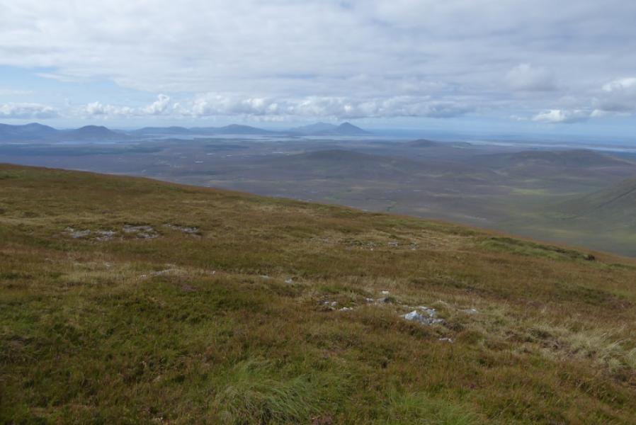
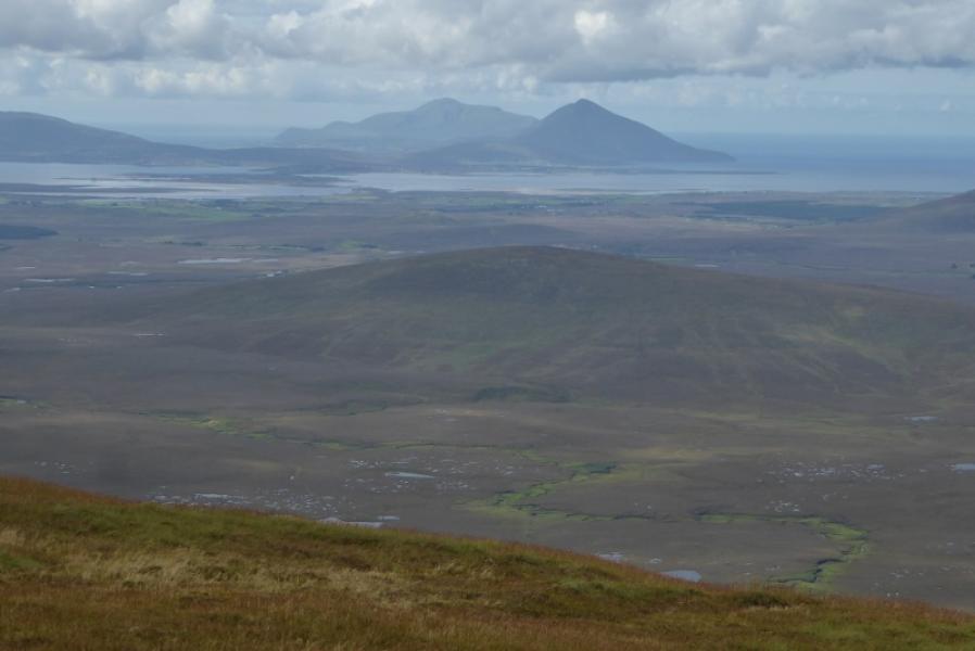
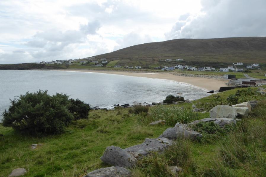
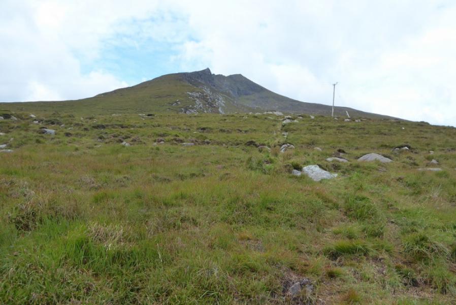
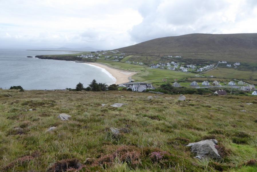
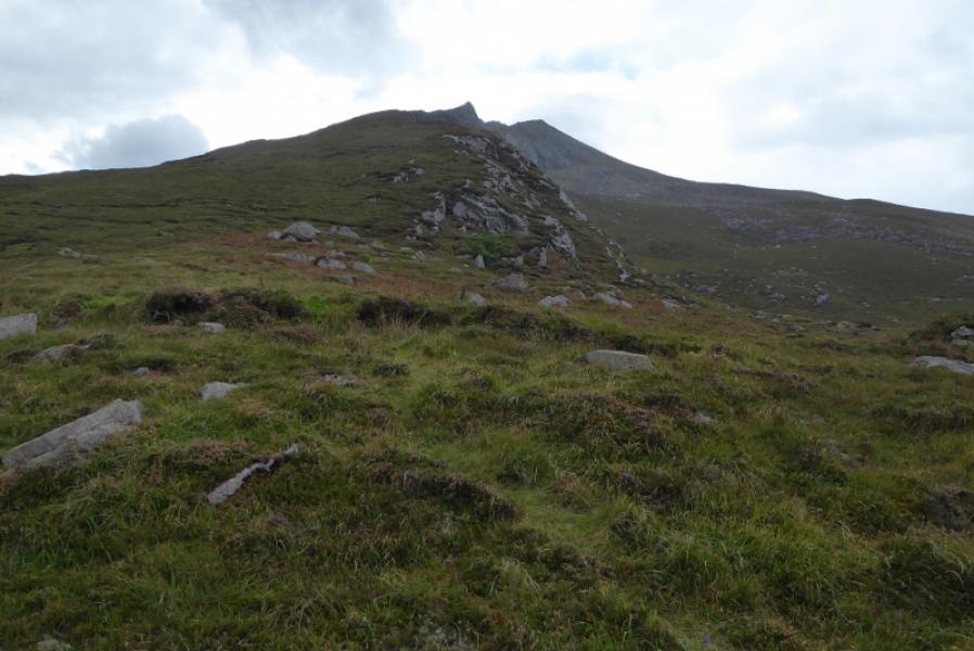
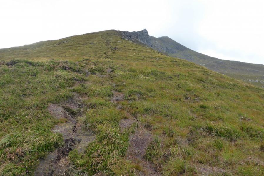
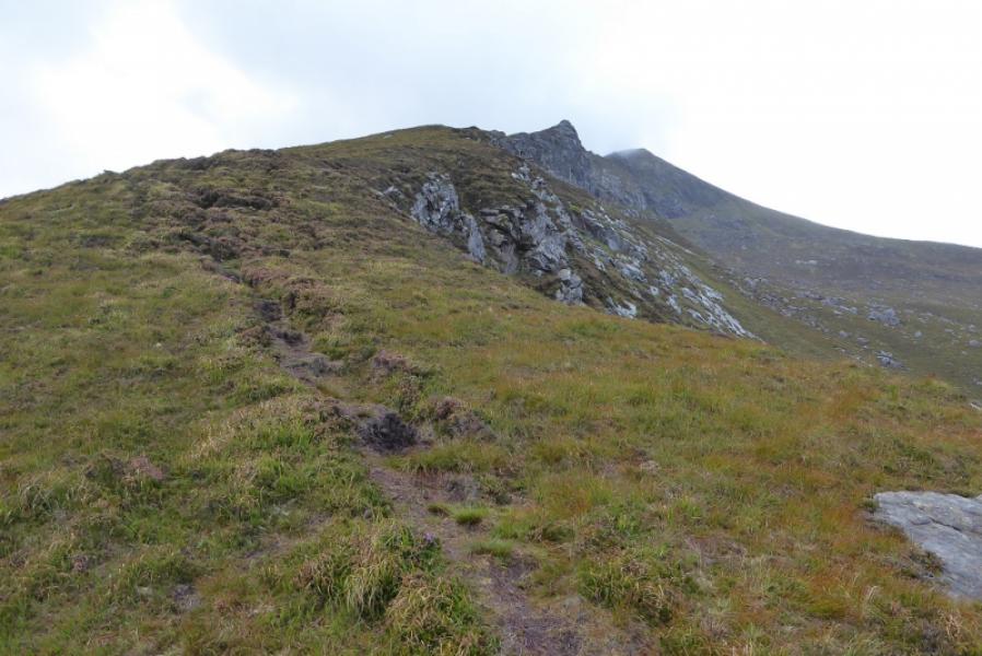
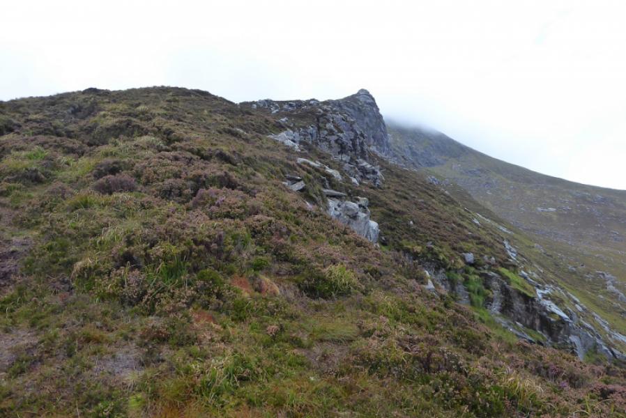
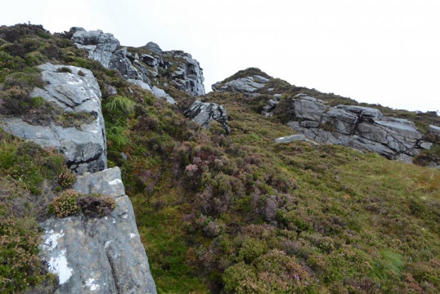
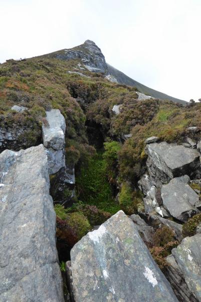
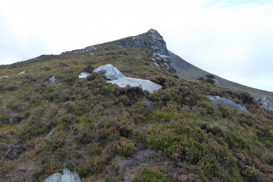
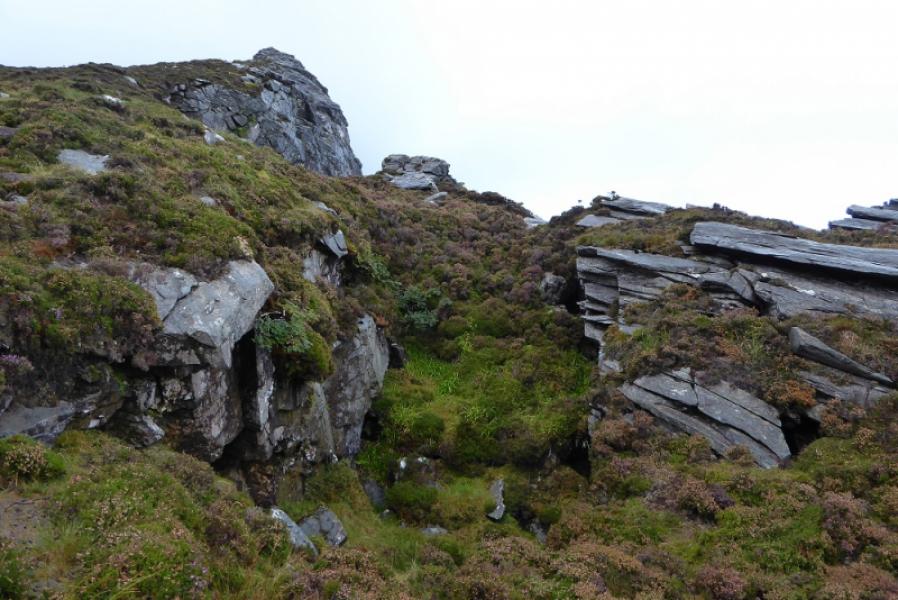
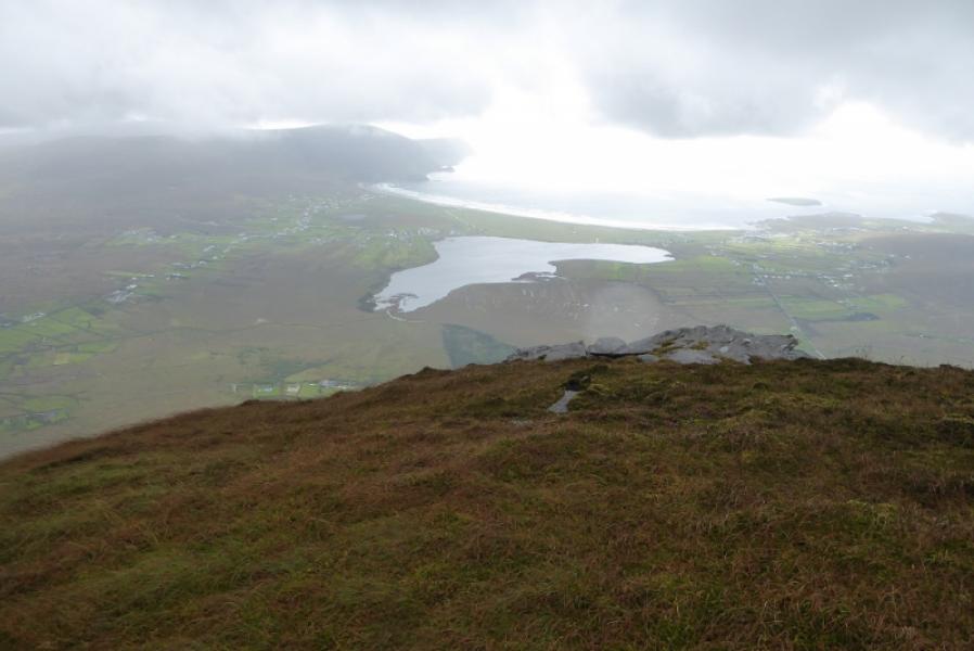
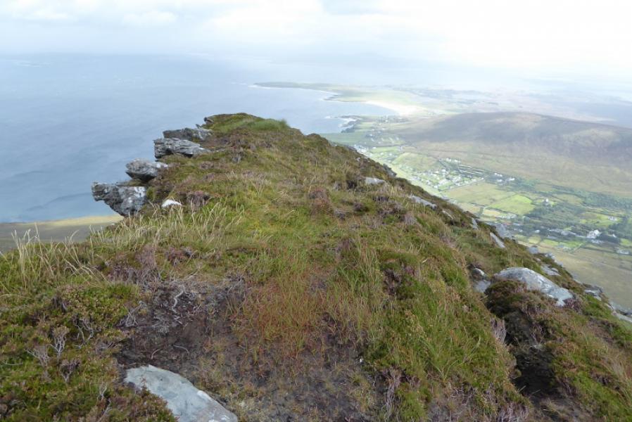
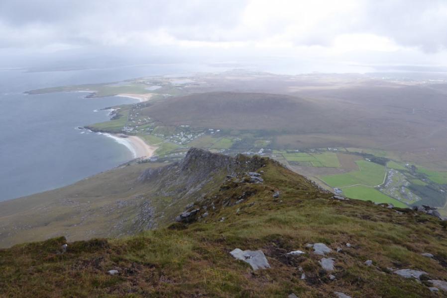
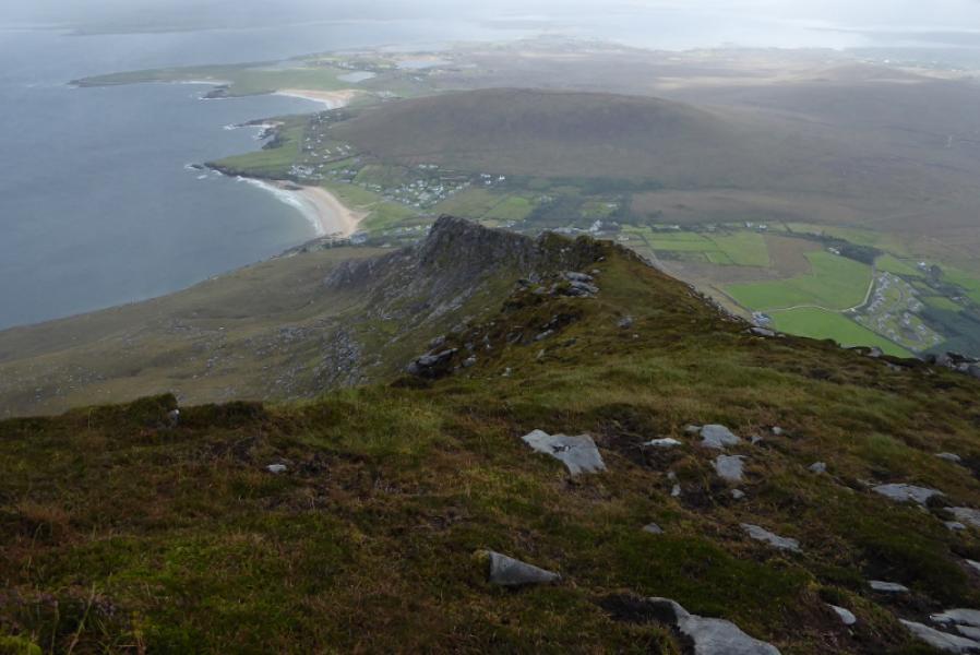
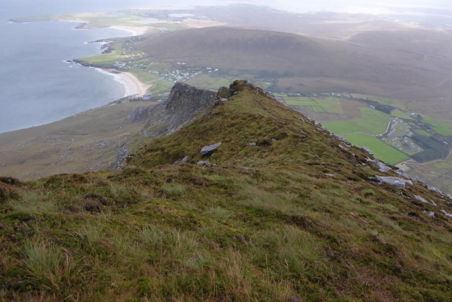
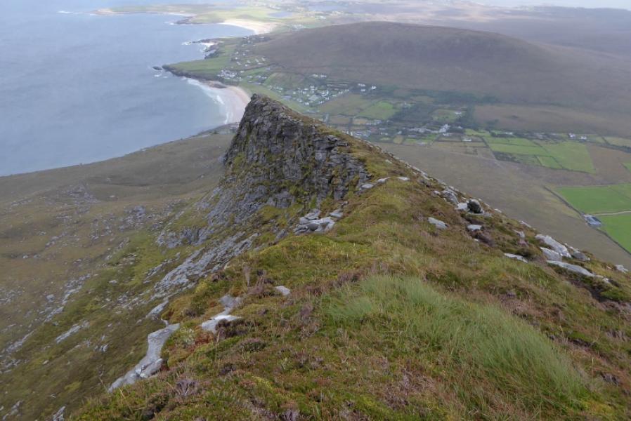
This is a pleasant walk with excellent seascape views on a clear day. It is a better route than the one from the Deserted Village. The best route is to keep close to the E ridge and ignore any paths which drift left. They may look better but if you follow them you will have to go through boulder fields higher up. There are many hole sin the ground especially near large rocks so be aware of this.
Route
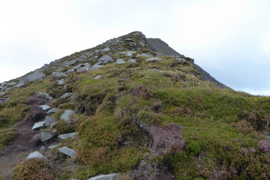
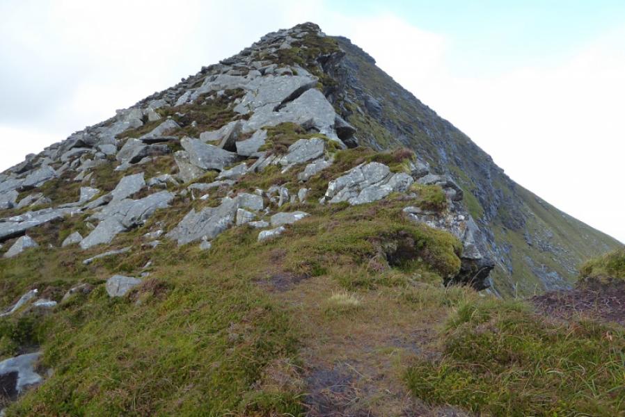
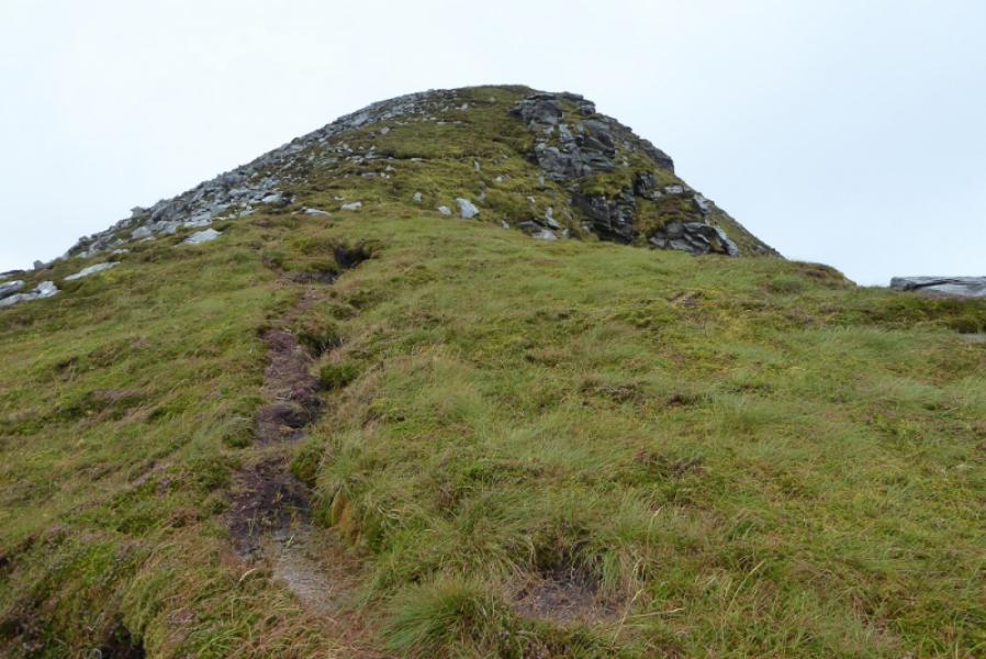
(1) Walk up the path to the left of the garage to reach open ground. Continue up but ignore paths going left and aim to stay close to the edge of the E ridge all the way up. The path can be faint in a few places but it is generally good. Pass some very deep grooves. Higher up, the angle eases and one soon reaches the round shelter cairn with the trig point marking the summit of Slievemore, 671 m, just beyond.
(2) Retrace the outward route
Notes
(a) This walk took place on 14th September, 2018.
Photos - Hover over photo for caption. Click on to enlarge. Click on again to reduce.