Get Lost Mountaineering
You are here: Ireland » West » Killarly Harbour to Westport
Ben Gorm & Ben Creggan Horseshoe from Glendavock
Ben Gorm & Ben Creggan Horseshoe from Glendavock
Start/Finish
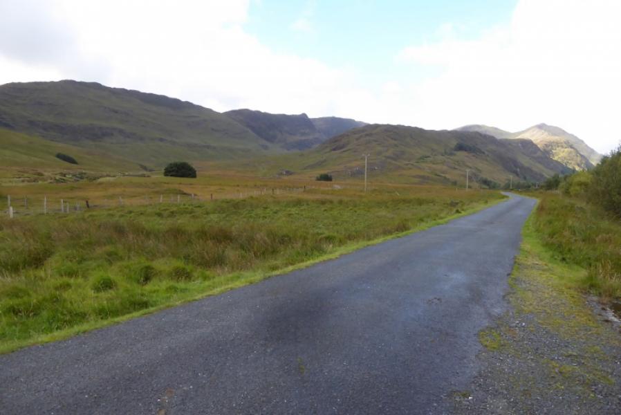
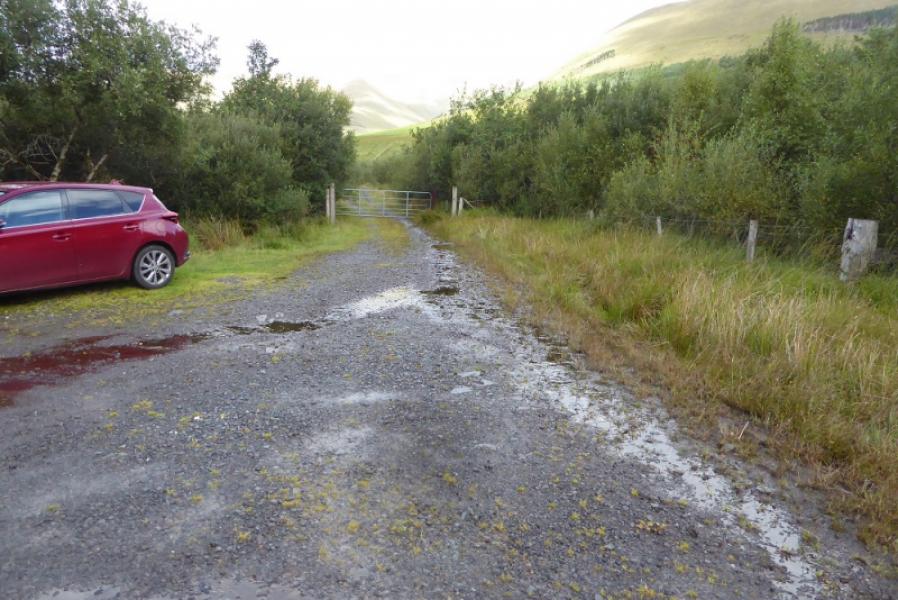
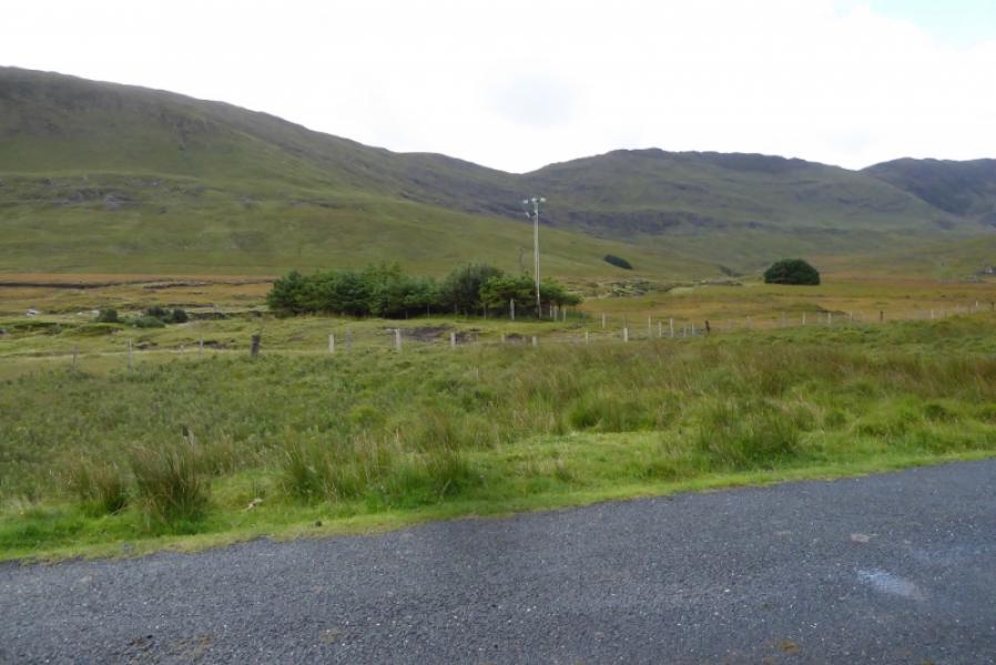
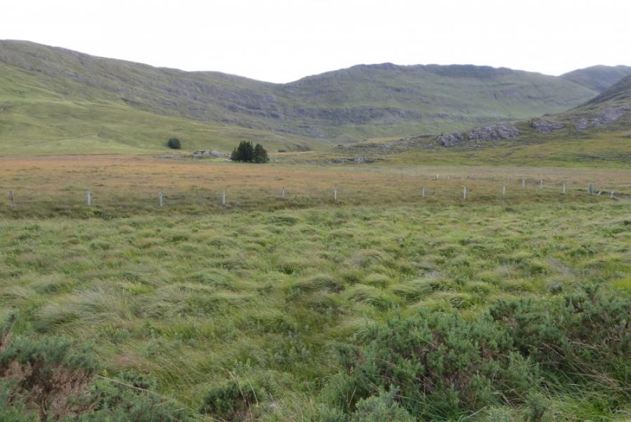
Limited car parking at entrance to forestry track on Sheefry Pass road at about L 897 674. This is about 200 m west of the entrance to an obvious farm.
Distance/Time
12 km. About 5 – 6 hours.
Peaks
Ben Gorm, 700 m, L 862 652.
Ben Creggan S Top, 687 m, L 858 661.
Ben Creggan, 693 m, L 857 666. (Irish National Grid System)
Irish OS Discovery Series Map 37 (1:50000) Irish OS Adventure Series: South Mayo
Introduction
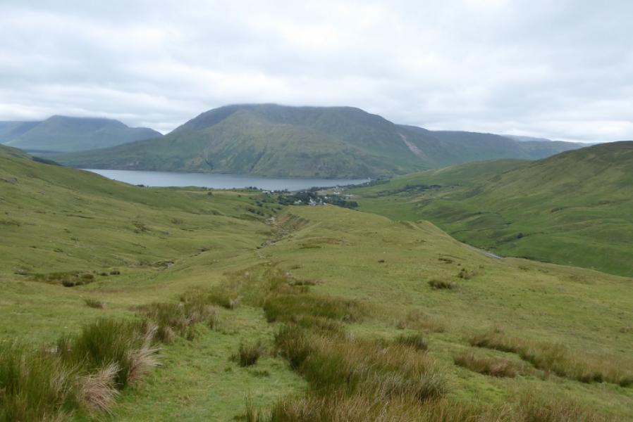
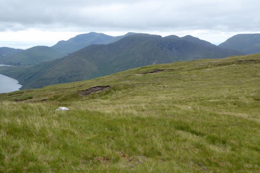
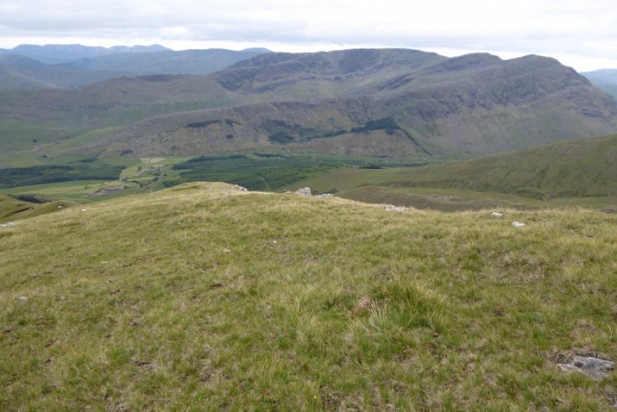
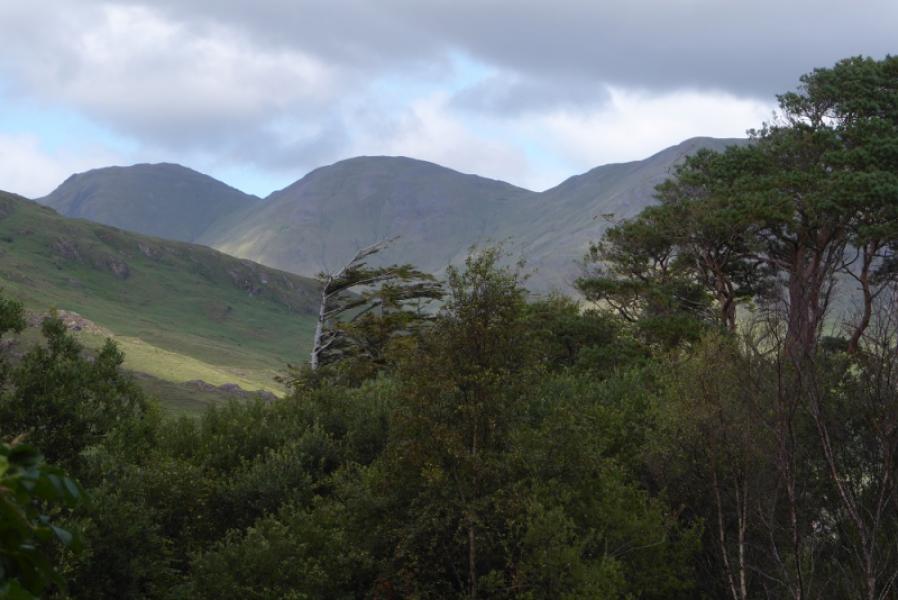
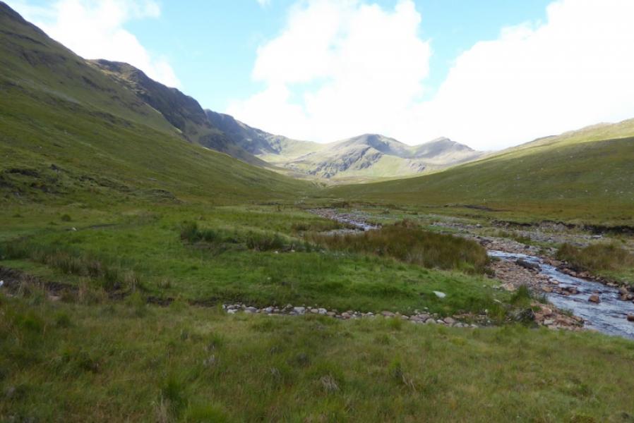
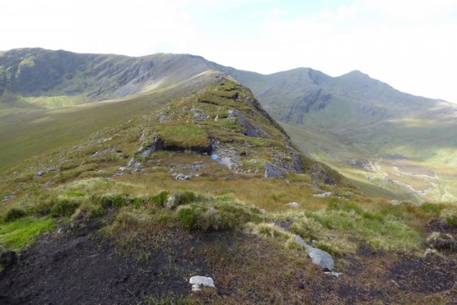
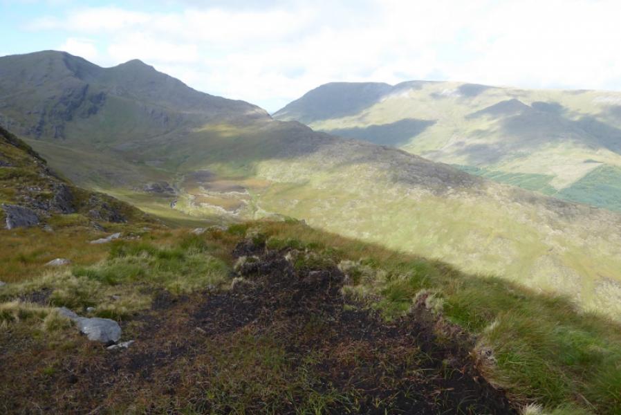
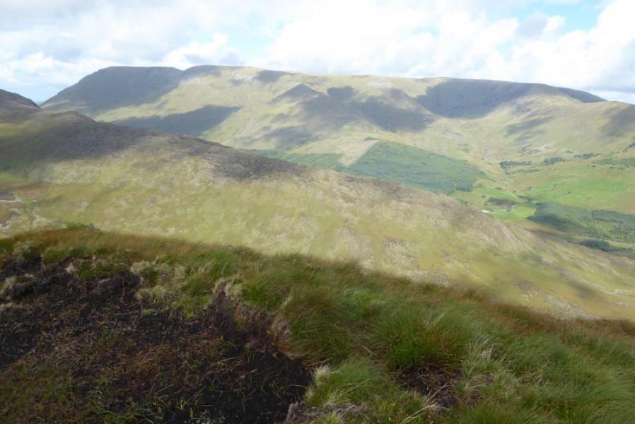
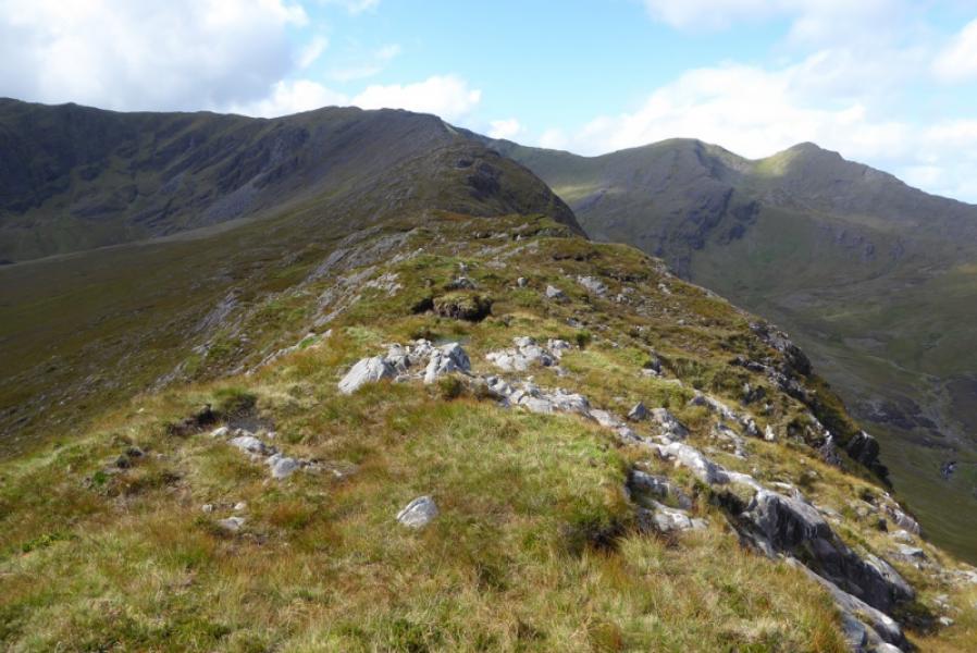
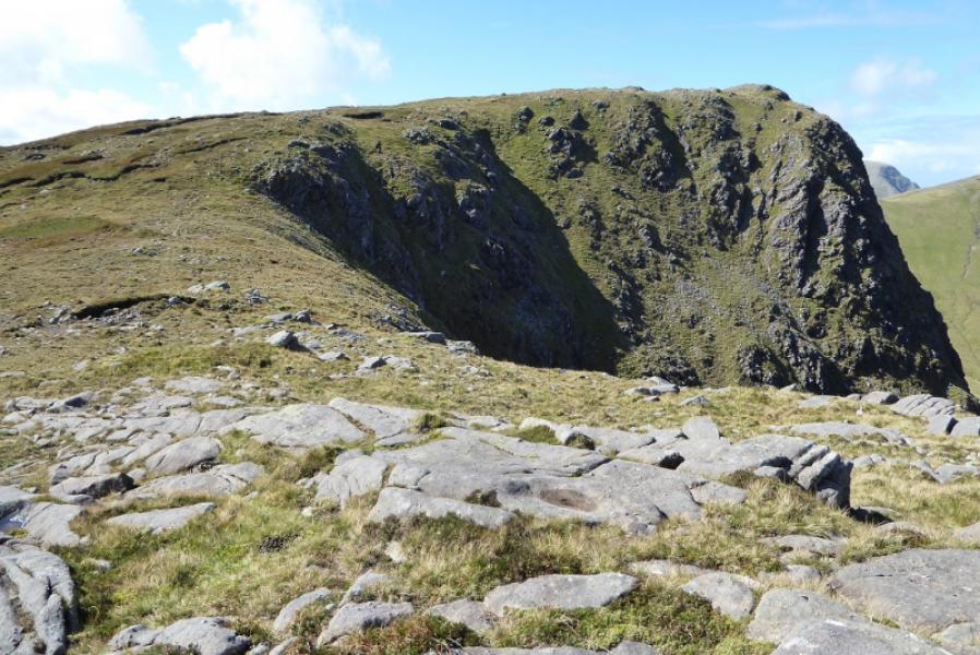
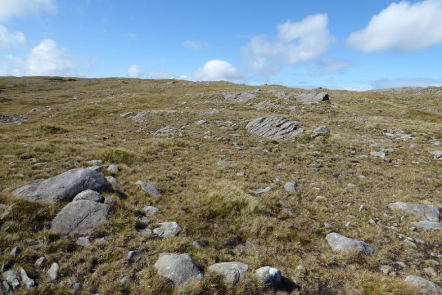
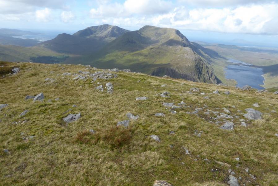
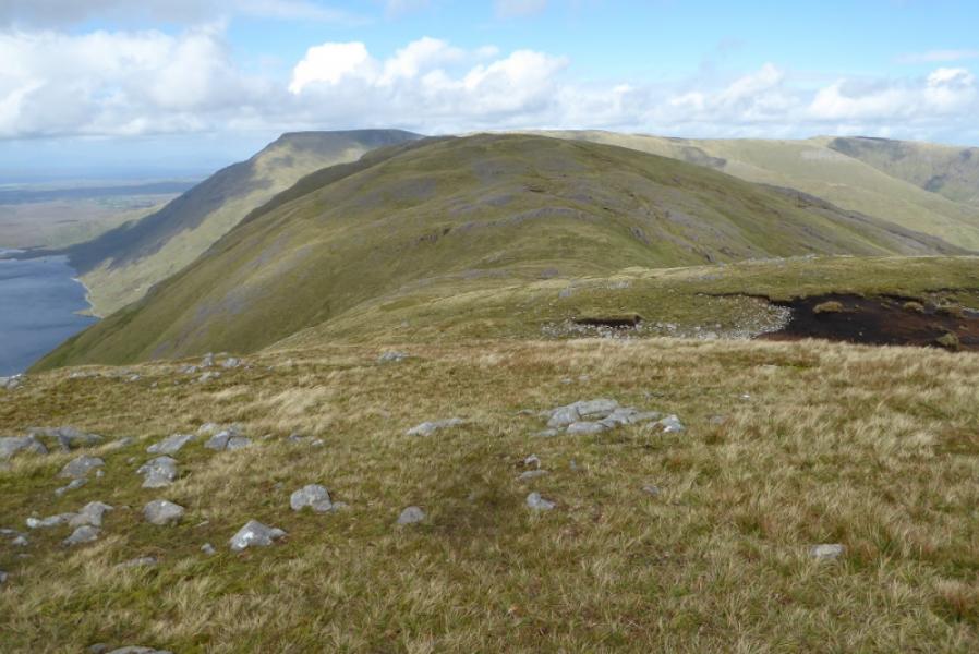
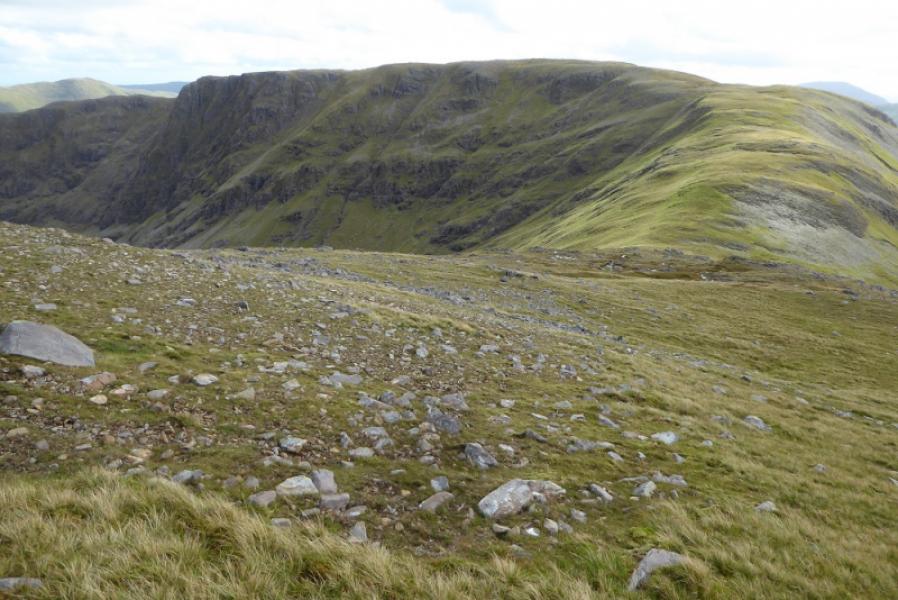
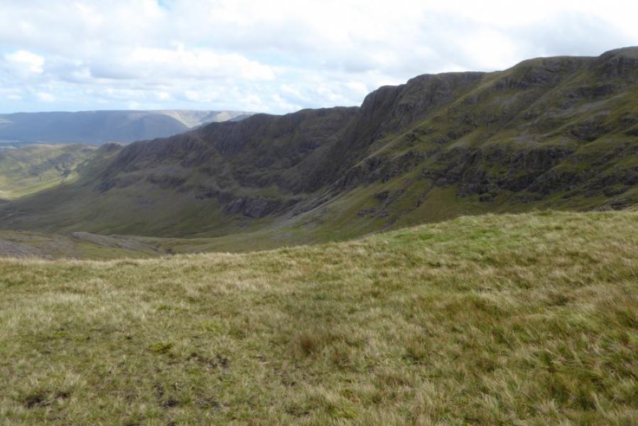
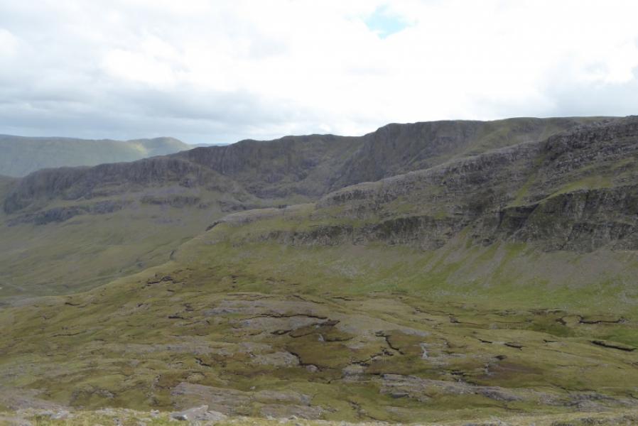
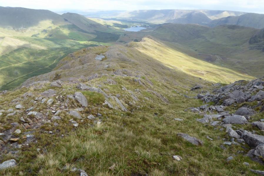
This is a pleasant walk although access to the E ridge of Ben Gorm is rough and boggy. Otherwise this is good ridge walking. The views are excellent in all directions but especially to Mweelrea, Ben Lugmore and the Sheefry Hills. Once on the ridges, there is more than a hint of a path. There are deep gaps between the three summits.
Route
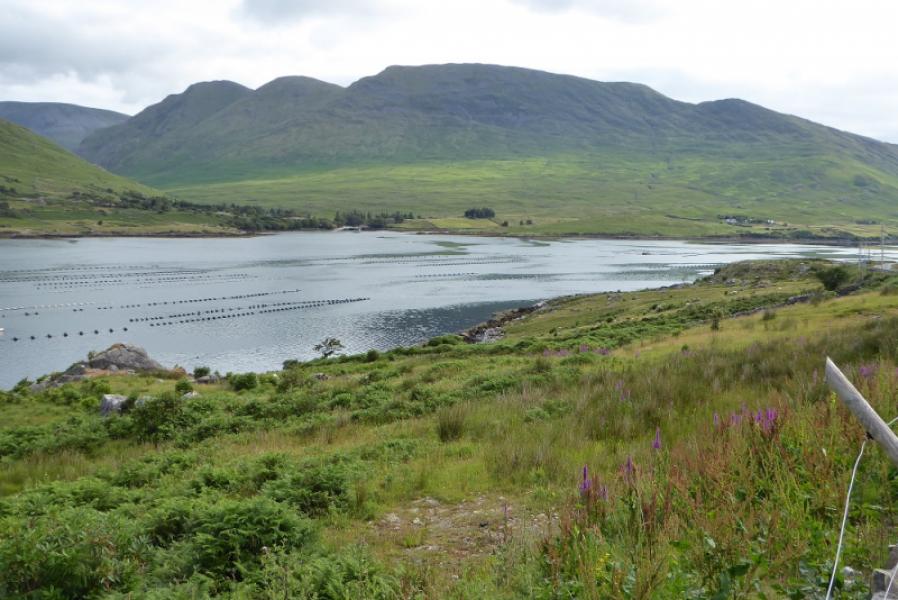
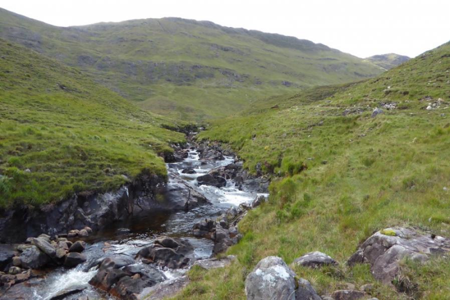
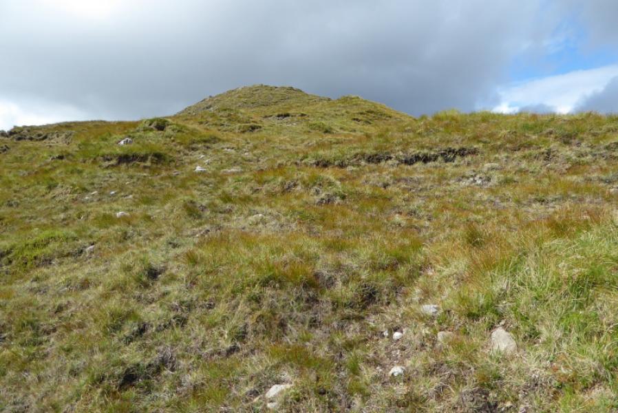
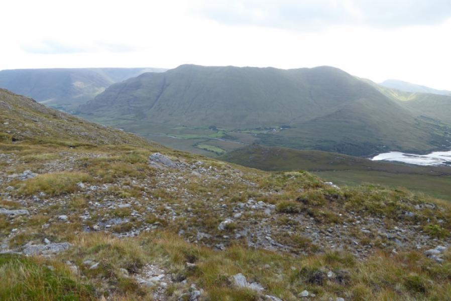
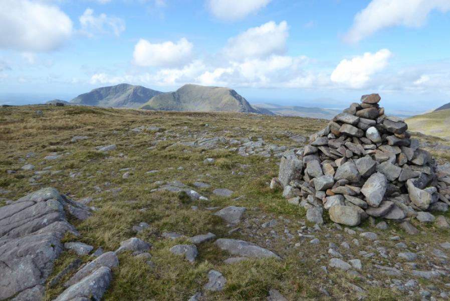
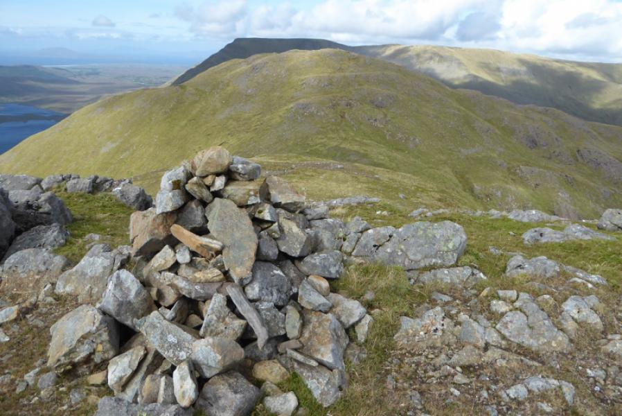
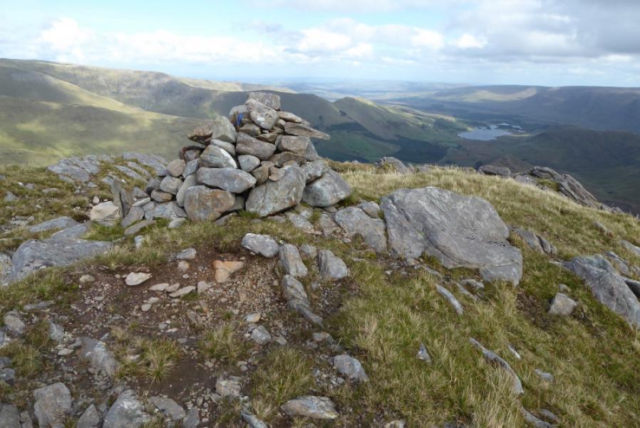
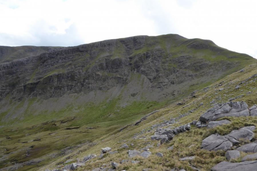
(1) Walk W up the road towards the small wood on the left. Look for a fence at right angles to the road but well set back. This leads to a clump of trees with a small rocky mound beyond. Reach this fence which means crossing deep grass and a ditch (slow and horrible!) then, keeping the fence on your left, head towards the obvious E ridge of Ben Gorm going around the foot of the E ridge of Ben Creggan. Reach the Glendavock River which ahs a reasonable path not far from it. Cross the river as soon as possible – not easy after rain. Once across, pick a way up steep, wet and slabby slopes aiming for the fairly obvious dip on the ridge to the W of Top 356. The dip is at about L 893 659. It is quite laborious reaching this dip. Once on the crest, follow it W and up. The walking is easy and a few minor tops are crossed without much loss in height. Eventually, the ridge merges into the summit plateau which will be difficult to navigate in mist. Continue, roughly W. Pass a cairn which may be confused for the summit in mist. Reach the large cairn which marks the summit of Ben Gorm, 700 m.
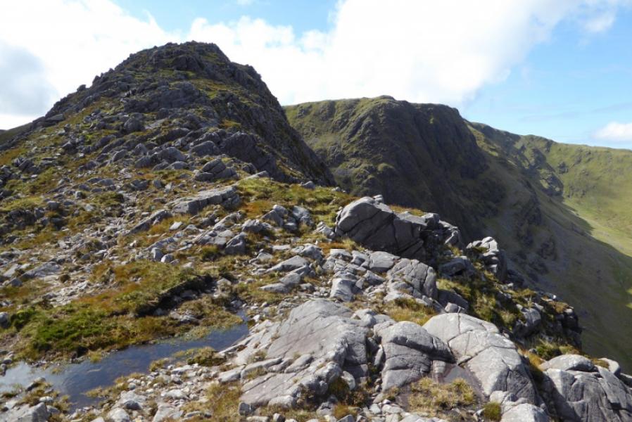
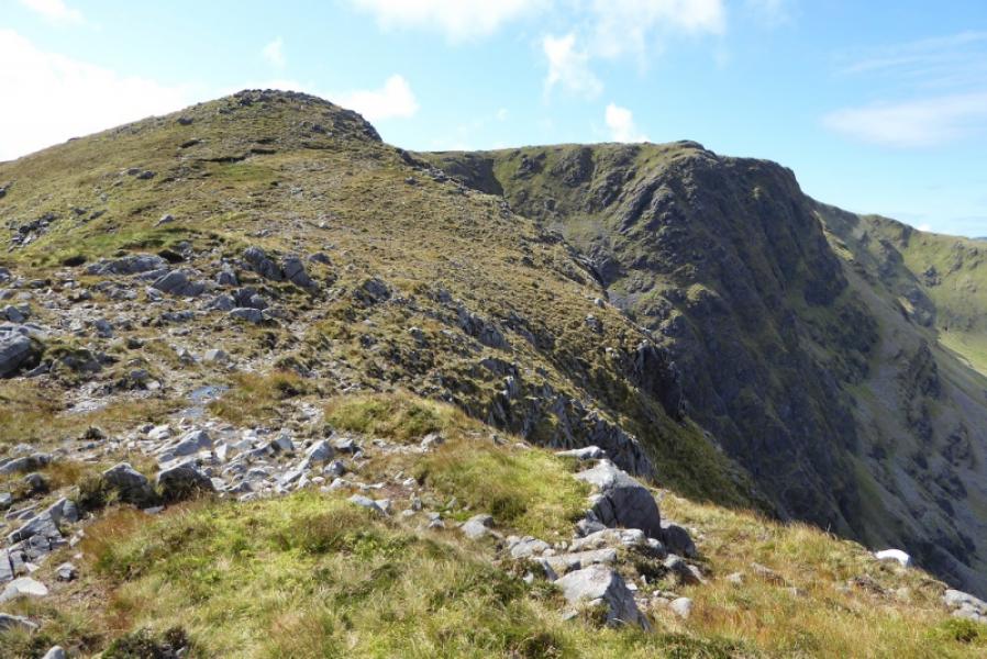
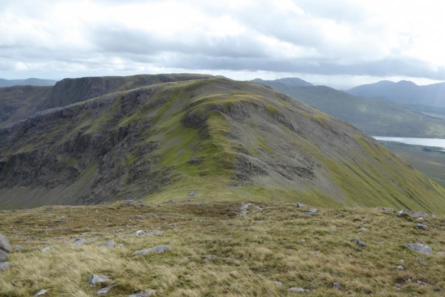
(2) Descend NW then N on a broad but well defined grassy ridge which leads across a grassy col then ascend mainly grassy slopes to the medium cairn which marks the summit of Ben Creggan S Top, 687 m.
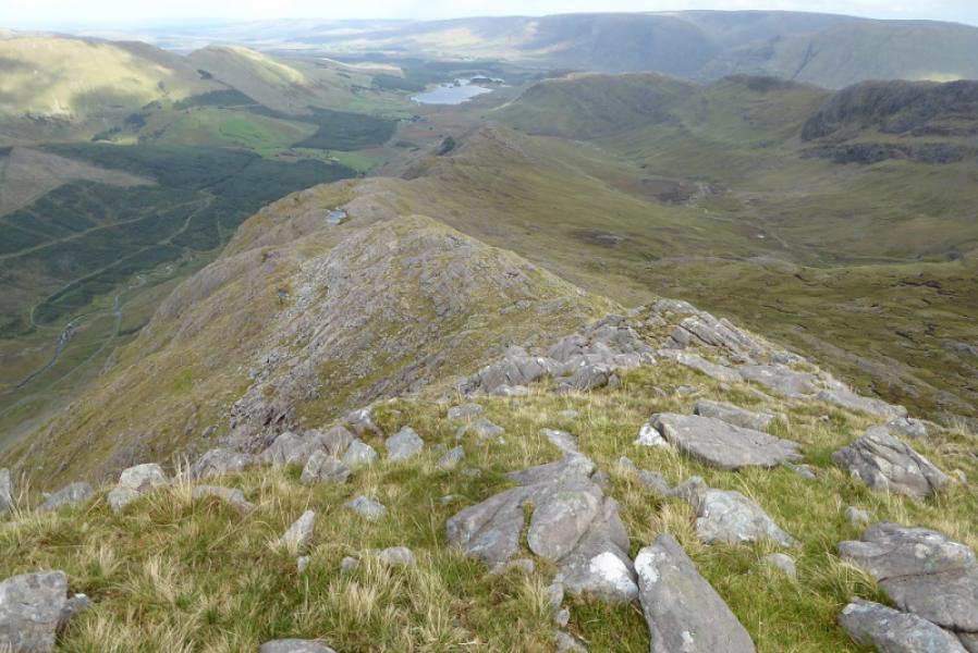
(3) Descend a similar ridge, roughly W of N, to a grassy col then a steeper and longer ascent, weaving around some small outcrops, to reach the large cairn which marks the summit of Ben Creggan, 693 m.
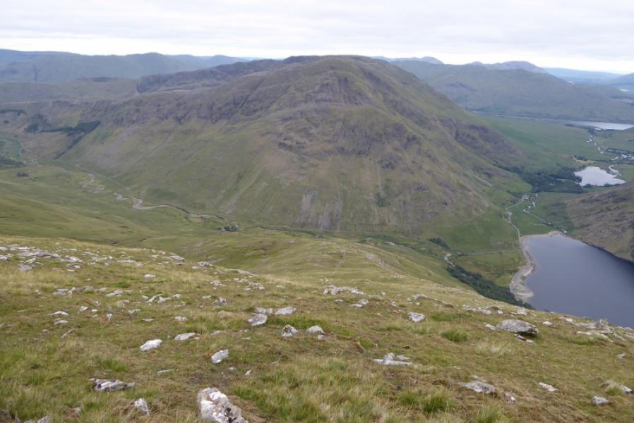
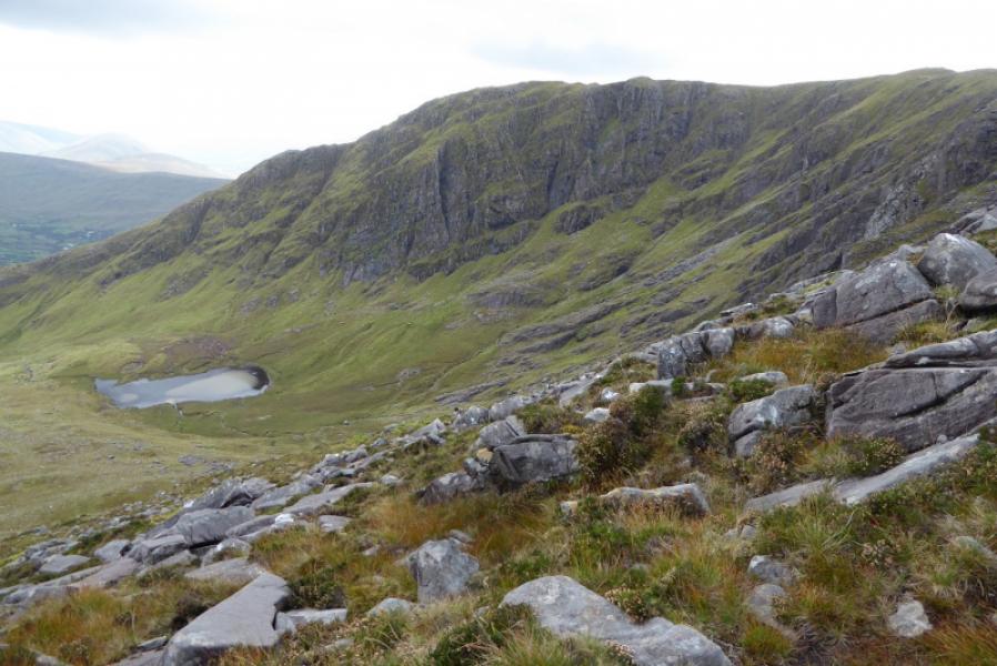
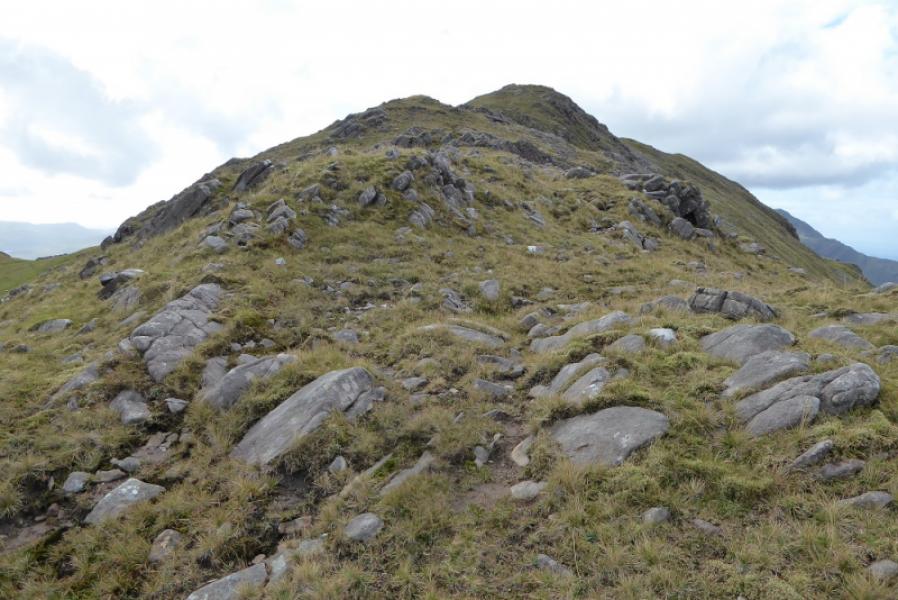
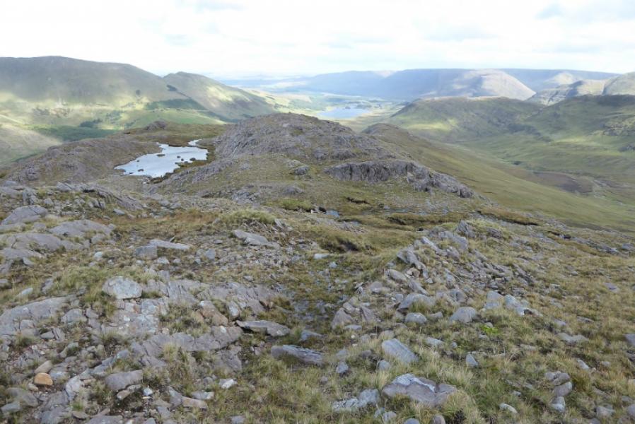
(4) Descend E down the E ridge of Ben Creggan on a mixture of grass and rock. There are no difficulties but some rocky sections need to be avoided. The ridge is fairly well defined. Pass a small lochan and continue down the ridge. To avoid having to retrace across the deep grass and ditch. Leave the ridge and descend left towards a small wood which has been felled on its W side. Some weaving around will be needed to get to the wood and some felling debris will have to be stepped over. Continue down and reach the road avoiding any boggy sections. Walk back along the road to the start.
Notes
(a) This walk took place on 12th September, 2018.
Photos - Hover over photo for caption. Click on to enlarge. Click on again to reduce.