Get Lost Mountaineering
You are here: Ireland » West » Connemara
Barrslievenaroy Direct, E Top & Binn Chaonaigh from South
Barrslievenaroy Direct, E Top & Binn Chaonaigh from South
Start/Finish
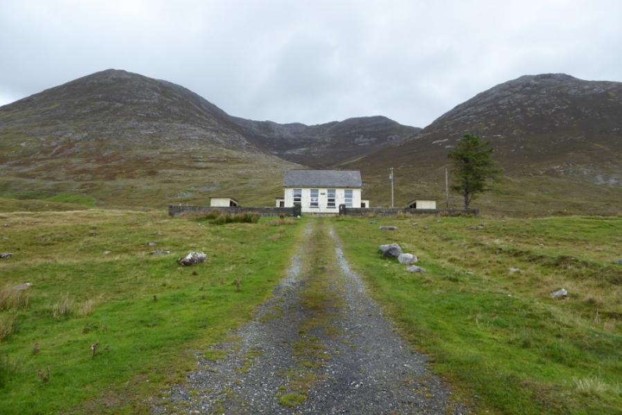
Entrance to old school (now closed) on minor road which leaves R344 at Inagh Lodge for Mam Ean car park. School is about 2 miles from Inagh Lodge and about 1 mile before the Mam Ean car park. The grid reference is L 881 510.
Distance/Time
7 km. About 4 – 5 hours.
Peaks
Barrslievenaroy, 702 m, L 888 528.
Barrslievenaroy E Top, 659 m, L 893 525.
Binn Chaonaigh, 633 m, L 900 515. (Irish National Grid System)
Harveys Connemara Map
Introduction
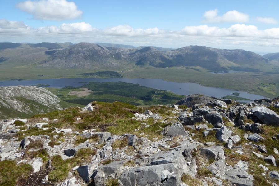
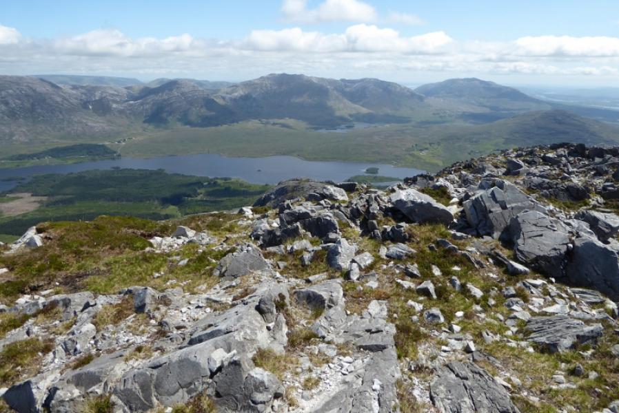
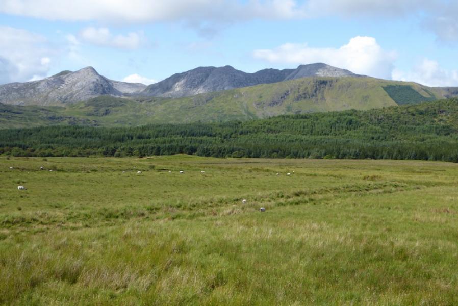
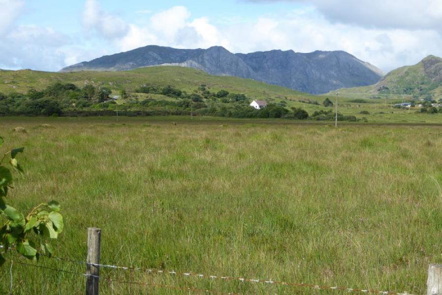
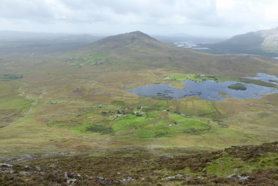
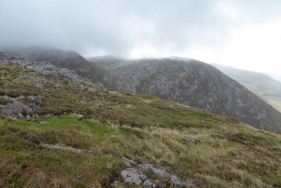
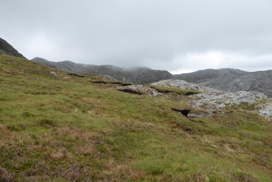
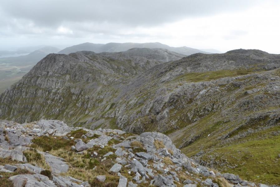
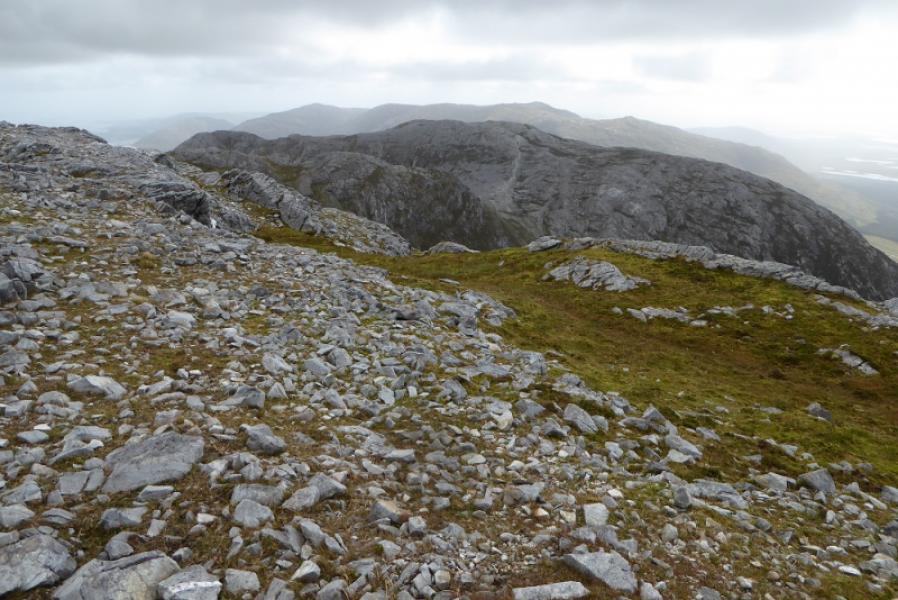
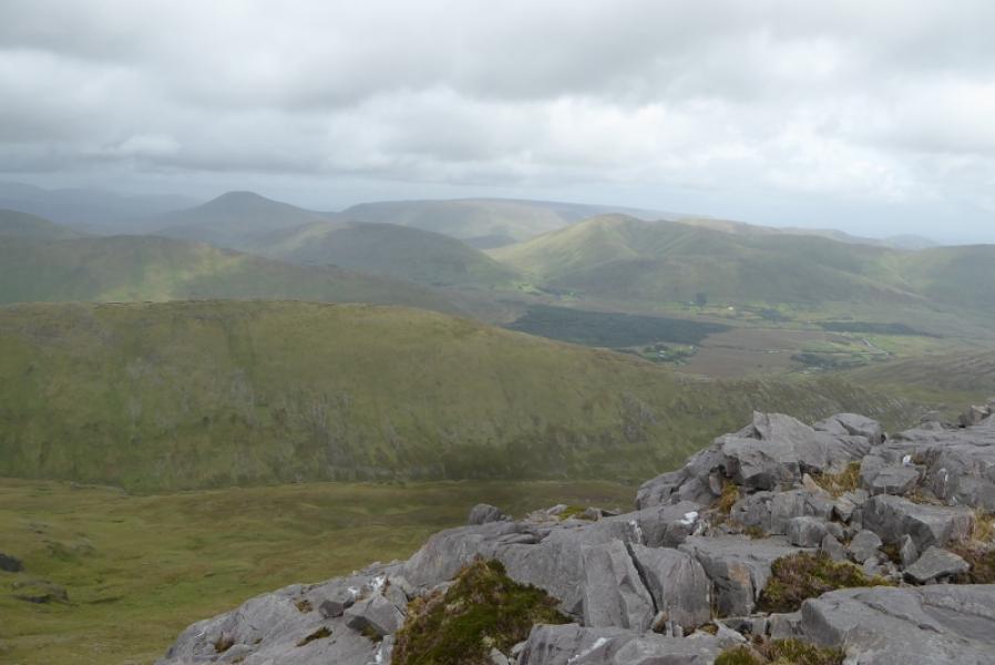
The Maumturks is a long ridge to the east of the 12 Bens. They are just as tough and steep so don't expect to fly around them! They offer good views to the 12 Bens and other mountains in the Maumturks range. Tackle this route in good visibility as the crest is virtually pathless and not well defined. The ascent is moderately steep but not particularly difficult for the average, experienced walker. There are many minor tops on the descent of Barrslievenaroy.
Route
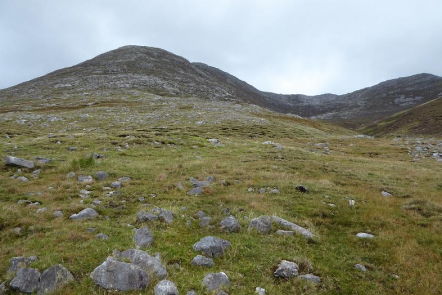
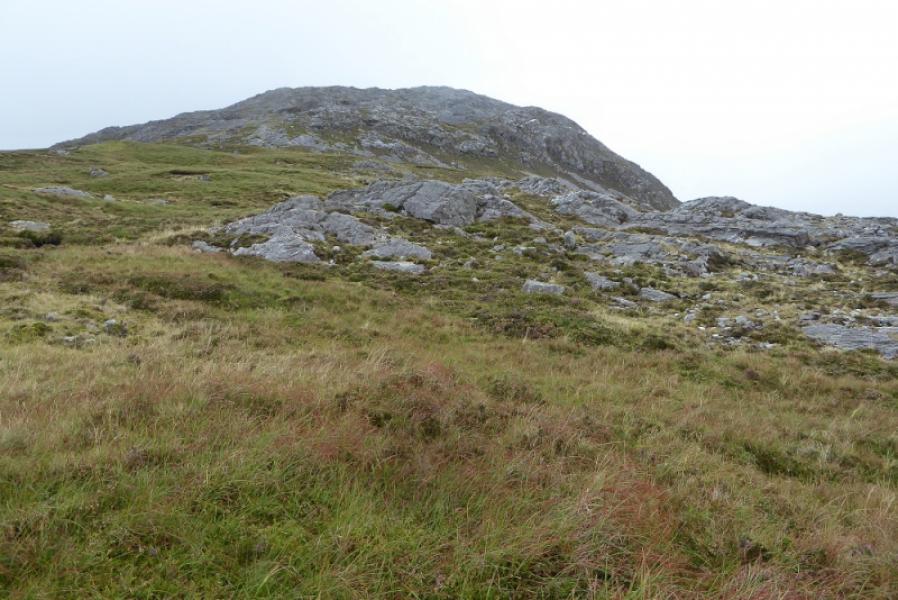
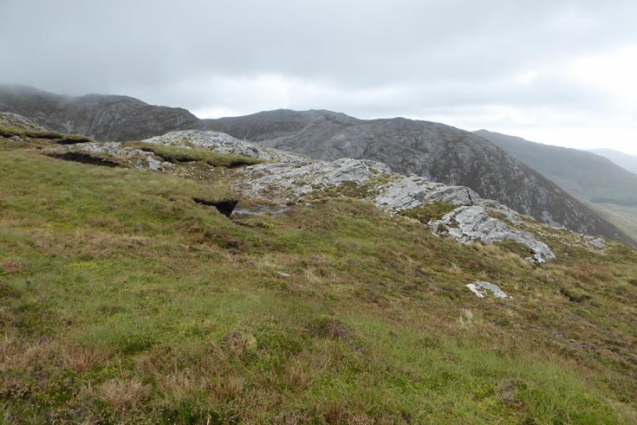
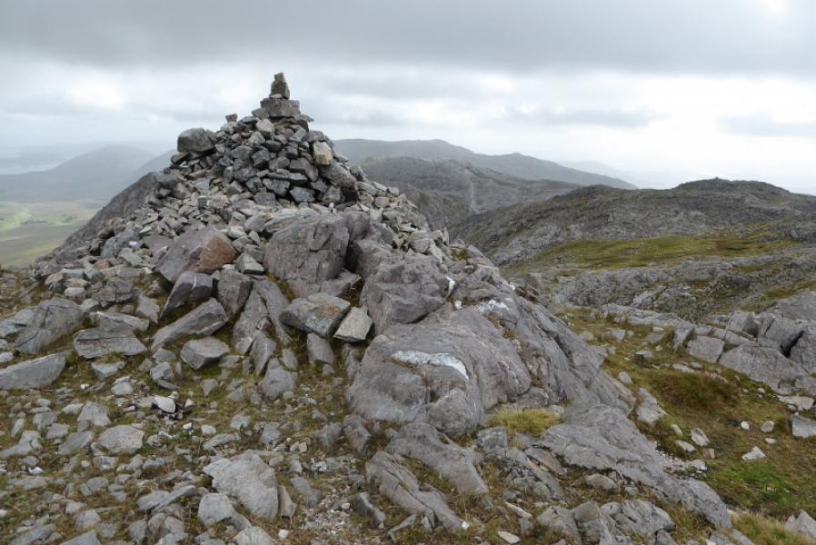
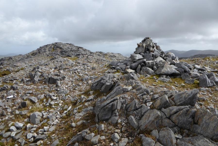
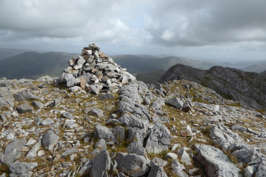
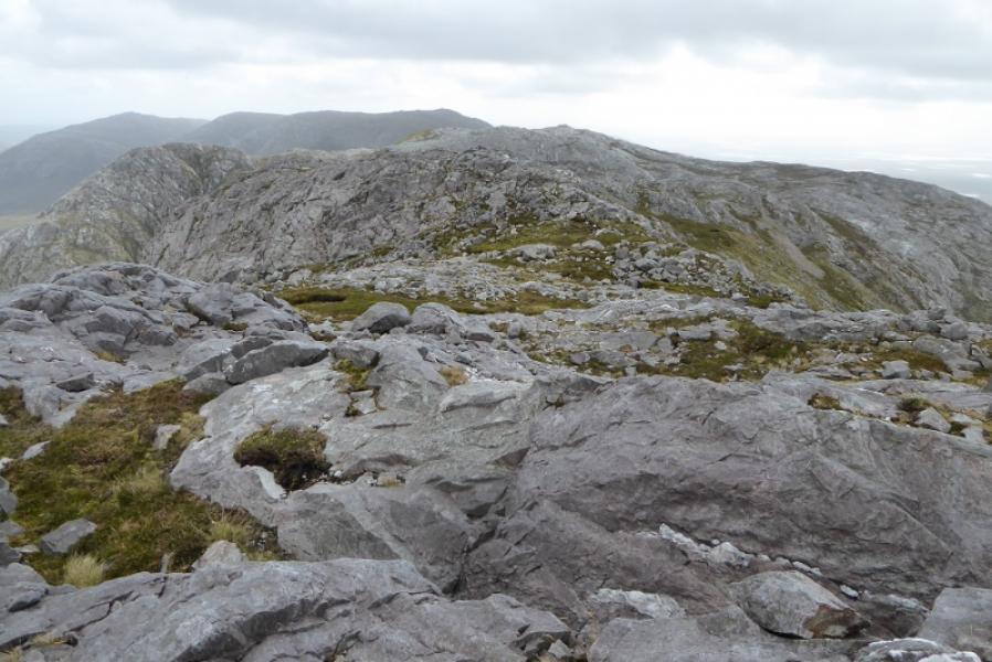
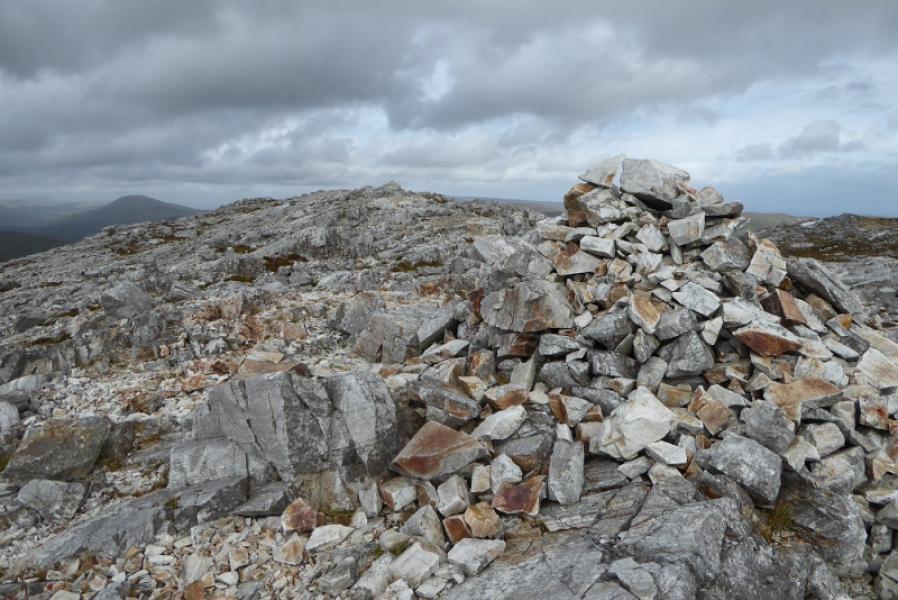
(1) Walk up the track and go around the left of the school then start heading for the foot of the S ridge. Start picking a way up with much weaving around needed to avoid rocks and crags. There are quite a few sheep paths which help here and there as they tend to follow grassy strips. The gradient eases higher up but the summit is well set back. Reach a large cairn which is the summit of Barrslievenaroy, 702 m.
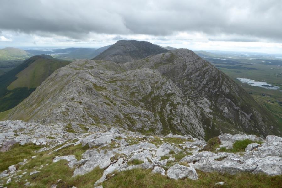
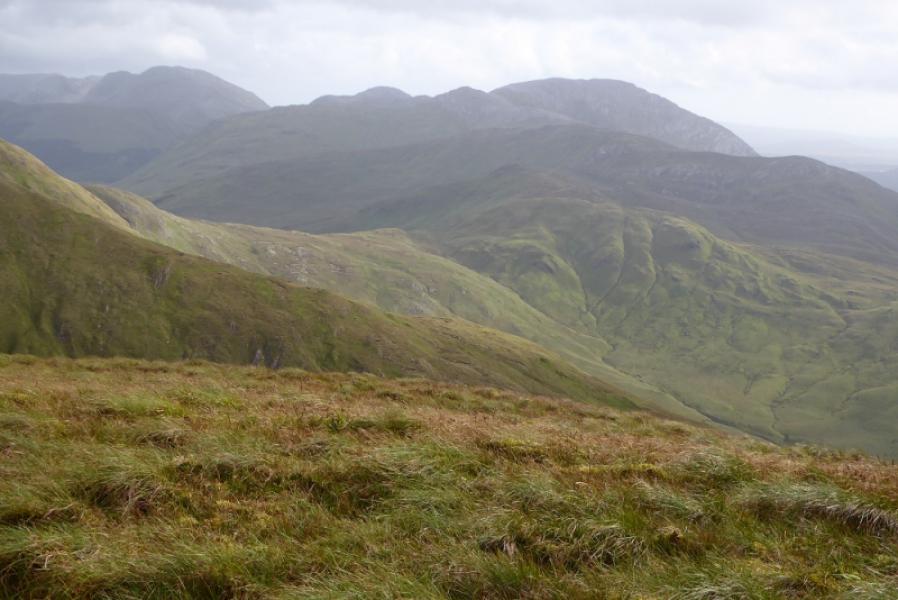
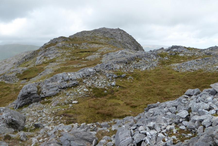
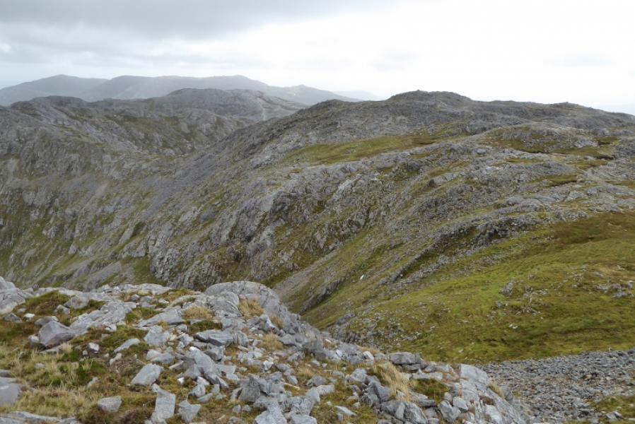
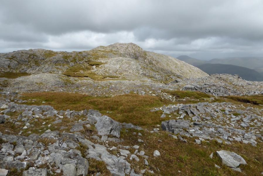
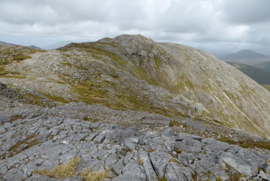
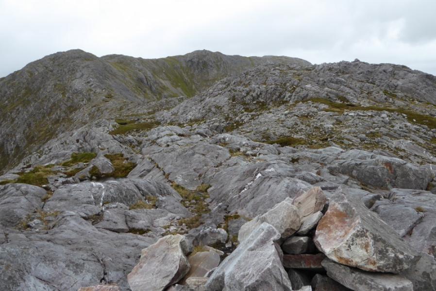
(2) Descend S on a rocky ridge over tow cairned tops after which the ridge turns E and descends to a dip before rising up a rocky peak to a medium cairn which is the summit of Barrslievenaroy E Top, 659 m.
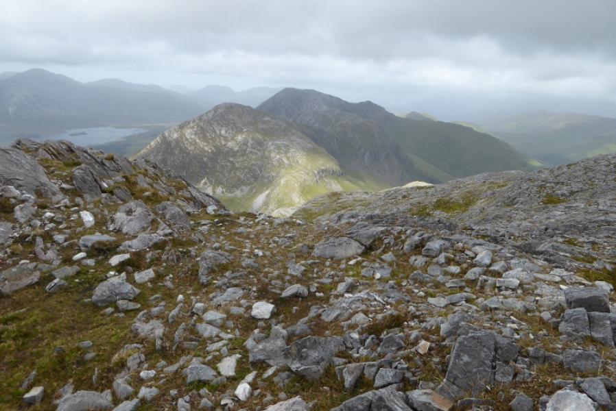
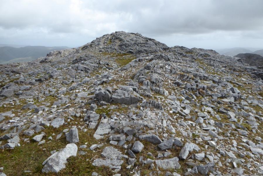
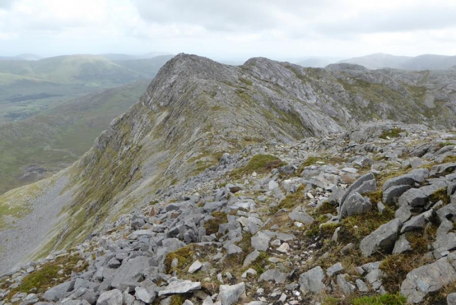
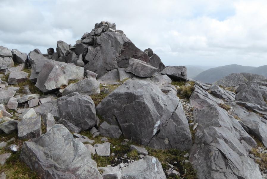
(3) The ridge now descends S over some more rocky tops then into the col before Binn Chaonaigh. A fairly obvious path leads up Binn Chaonaigh which hs two cairned tops of similar height. Go to the S top first then go N for about 200 m to reach the medium cairn which is the summit of Binn Chaonaigh, 633 m. There is a small lochan to the SE which is shown on the Harveys map.
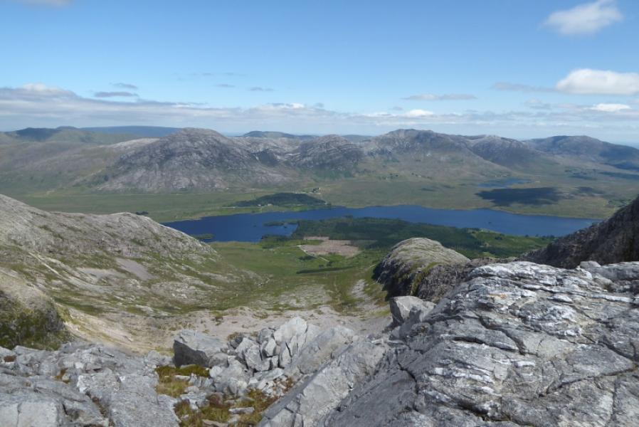
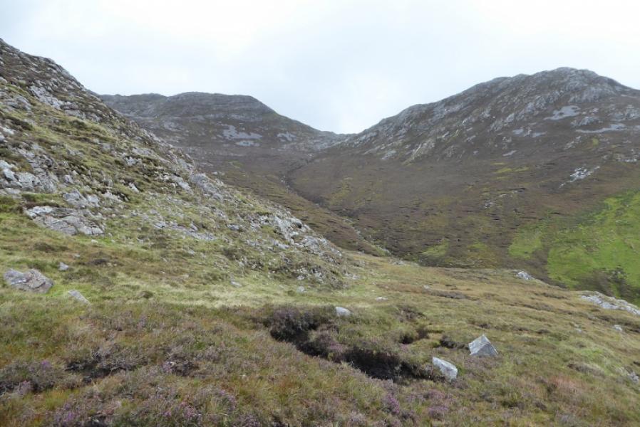
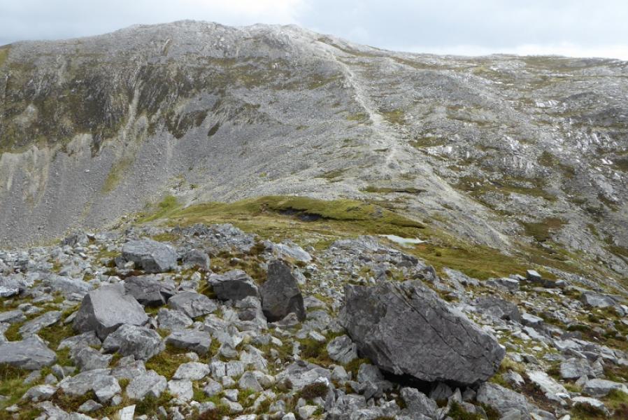
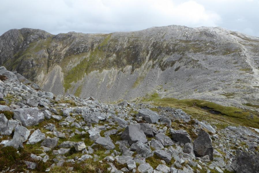
(4) Retrace back to the col then descend W into the corrie which leads back to the start. There is much easy ground to walk over and it is never steep. The best route seems to be to descend between the two streams then pick out grassy strips to walk through. Cross the more northerly stream between waterfalls then walk down grassy slopes back to the start.
Notes
(a) This walk took place on 11th September, 2018.
Photos - Hover over photo for caption. Click on to enlarge. Click on again to reduce.