Get Lost Mountaineering
You are here: Ireland » West » Achill Island
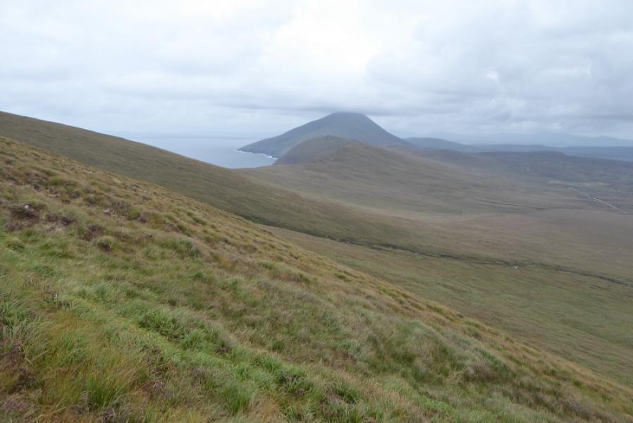
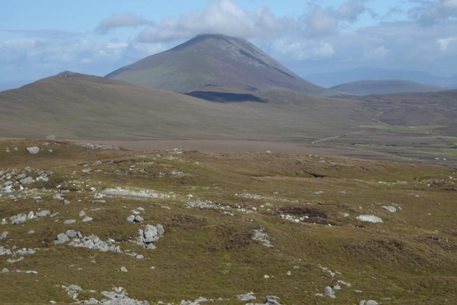
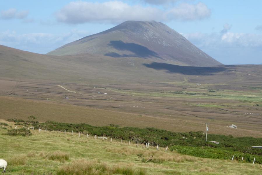
Slievemore from the Deserted Village
Slievemore from the Deserted Village
Start/Finish
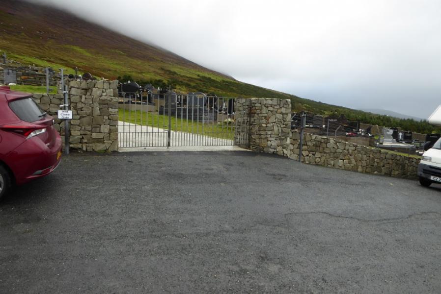
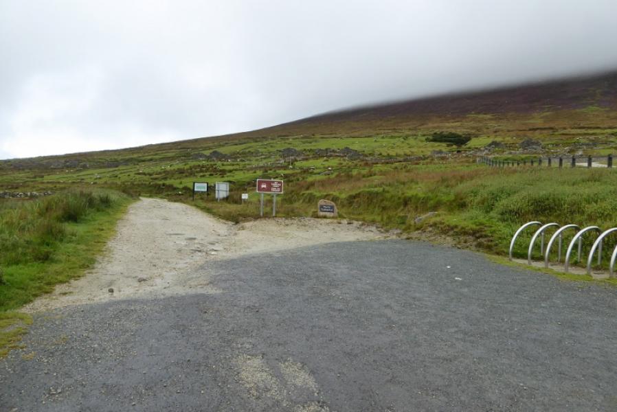
Parking spaces by the graveyard below the Deserted Village. From keel, on Achill Island, take the road going north to the west of Keel Lough. Ignore all turnings and follow it to its end by the graveyard entrance where there is usually plenty of parking unless a funeral is taking place.
Distance/Time
8 km. About 4 hours.
Peaks
Slievemore, 671 m, F 650 086. (Irish National Grid System)
Irish OS Discovery Map 30
A much better map, on a larger scale, is Achill & Corraun and Clare Island published by East West Mapping.
Introduction
This is a pleasant walk with excellent seascape views on a clear day. One can also see some of the higher peaks on the mainland if it is very clear.
Route
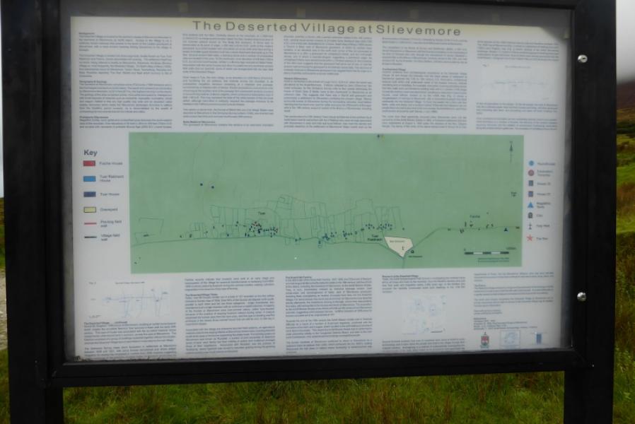
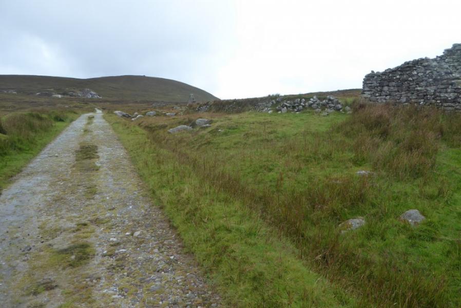
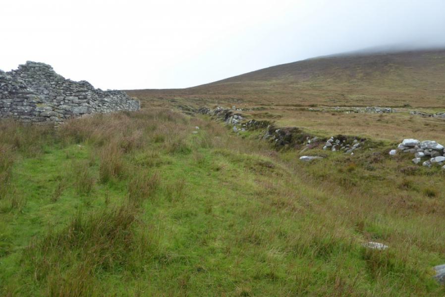
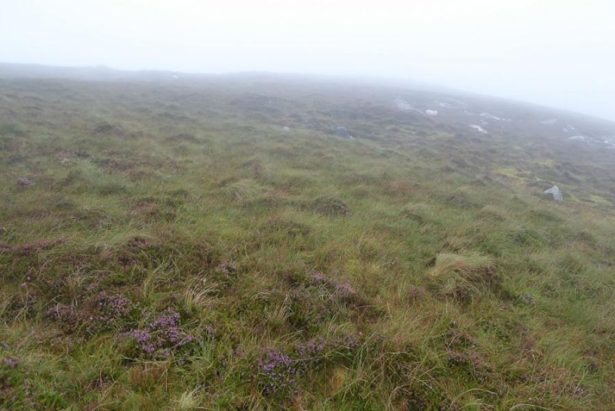
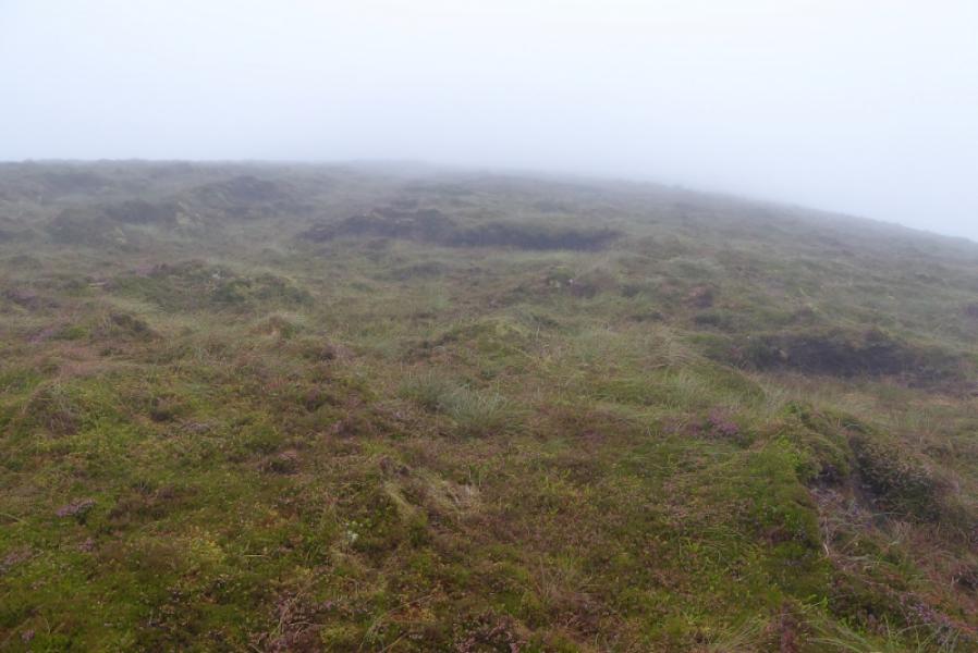
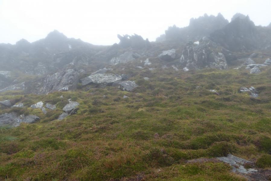
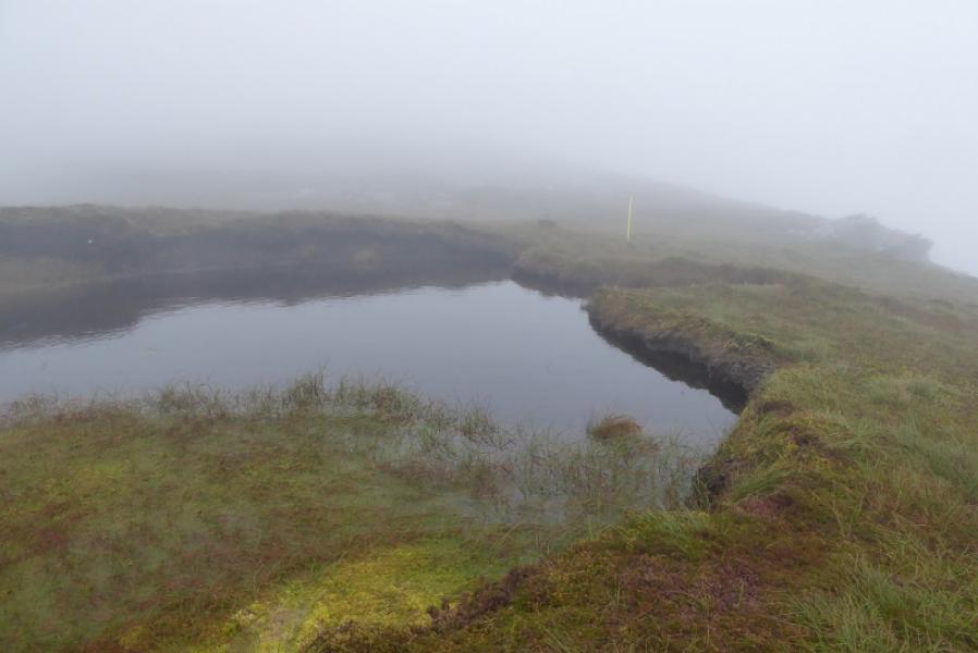
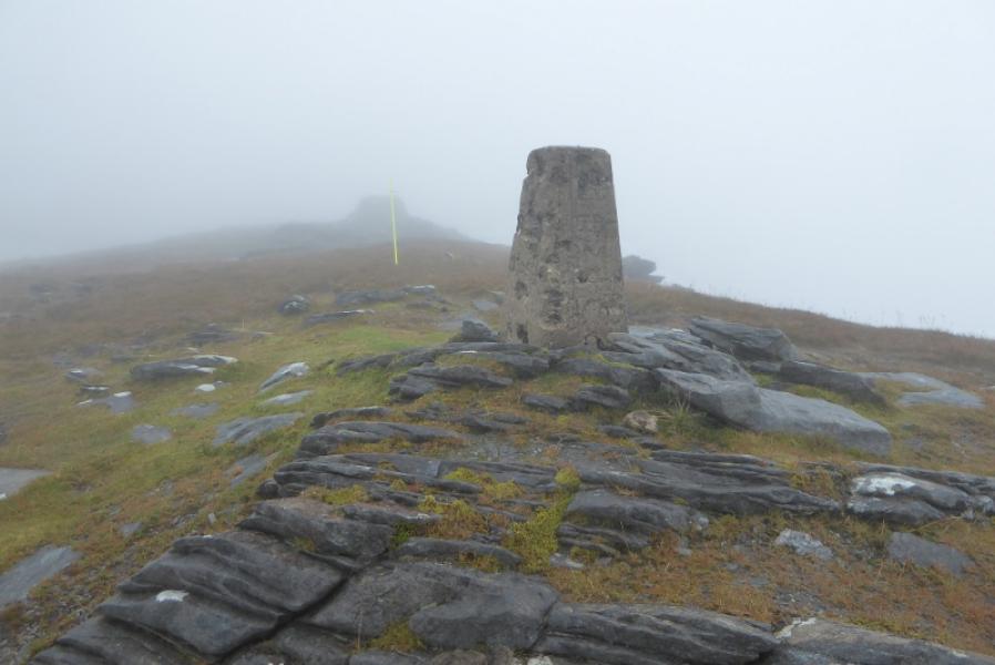
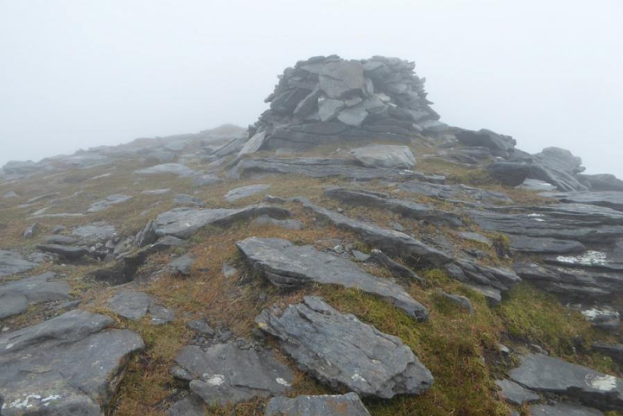
(1) Walk up the track, passing some of the ruins in the Deserted Village. After about 1 km, leave the track and start picking a way up onto the W ridge of Slievemore. There is no obvious path but the ground is fairly easy. Once on the broad grassy ridge, continue up. Reach a rock band. Either go around it or pick a way up through it with very little difficulty. Continue up and pass a small lochan on a flatter section. The ground will steepen for a while before becoming flatter again and boggy in places. Continue for about another 700 m to reach some outcrops with the trig point marking the summit of Slievemore, 671 m, just beyond. A shelter cairn is a little further.
(2) Retrace the outward route
Notes
(a) This walk took place on 5th September, 2018.
Photos - Hover over photo for caption. Click on to enlarge. Click on again to reduce.