Get Lost Mountaineering
You are here: Ireland » West » Nephin Beg Range
Corranabinnia & Glennamong from Glendahurk Bridge
Corranabinnia & Glennamong from Glendahurk Bridge
Start/Finish
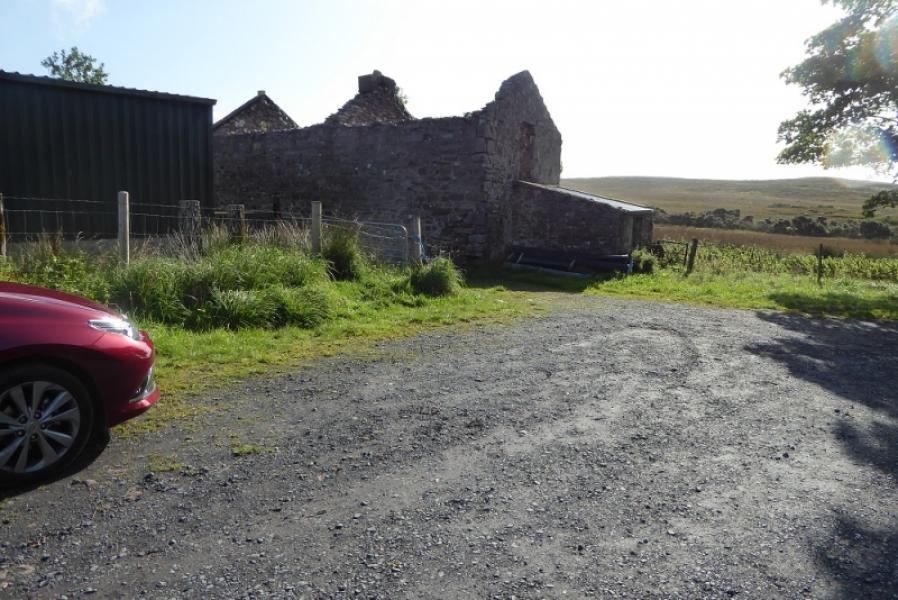
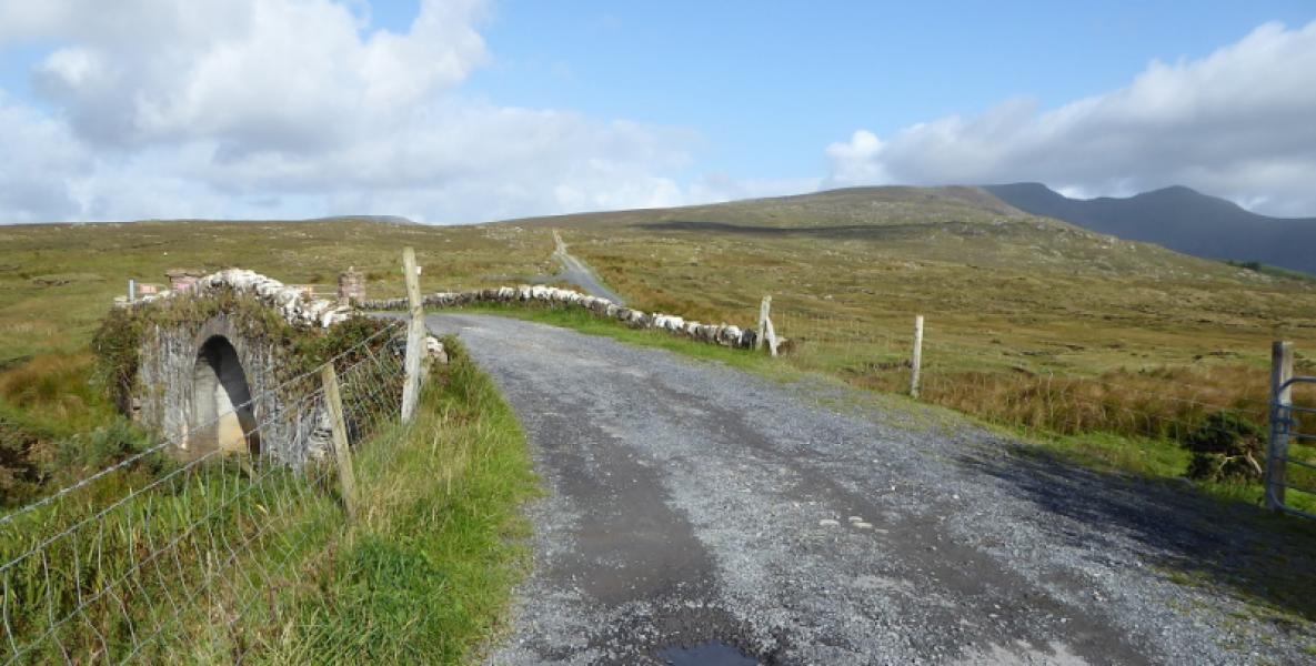
Limited parking by old farm just before Glendahurk Bridge. This lies past the end of a tarmac road (but is still okay to drive on) which leaves the N50 road between Newport and Mulranny about 2.8 miles/4.5 km west of the obvious bridge over the outflow of Furnace Lough. There is a small sign in the garden on the left at the start of the road which says “Carheenbrack”. There is a space for about 2 cars.
Distance/Time
19 km. About 9 – 10 hours.
Peaks
Corrabinnia W Top, 683 m, F 893 026 . *
Corrabinnia, 716 m, F 903 031.
Glennamong, 628 m, F 912 058 (Irish National Grid System)
Irish OS Discovery Map 30
A much better map, at a larger scale, is Wild Nephin published by East West Mapping.
* The East West map of the area has the SW Top higher at 687 m. Its grid reference is F 898 027.
Introduction
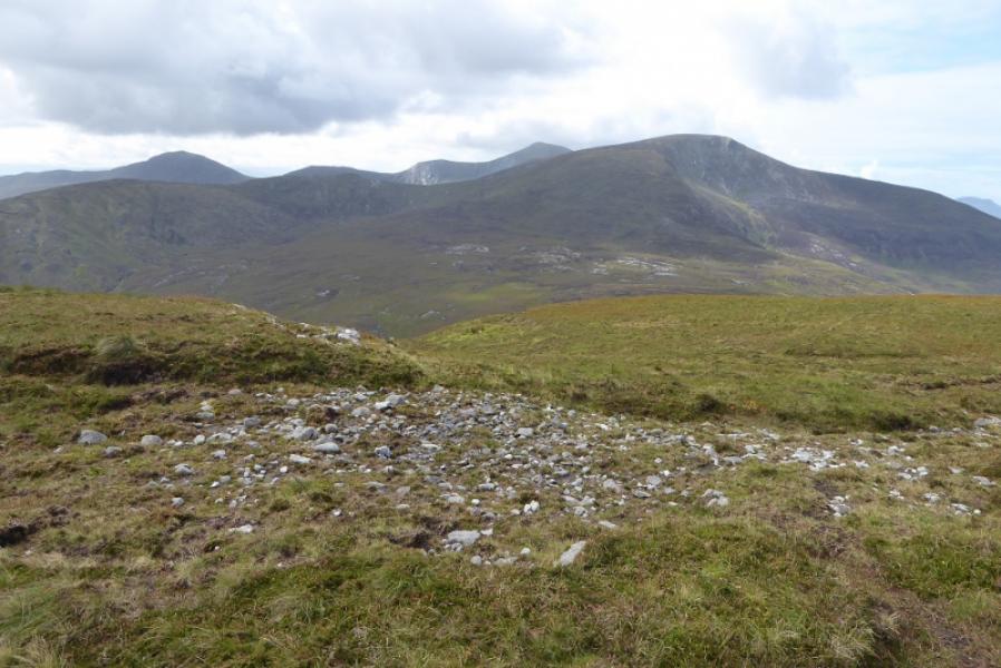
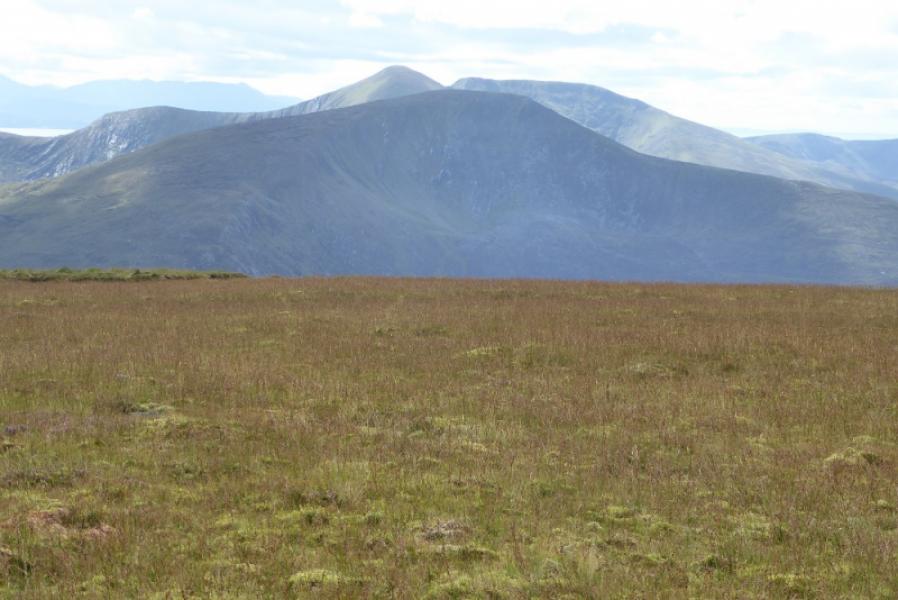
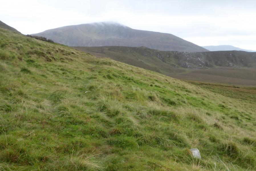
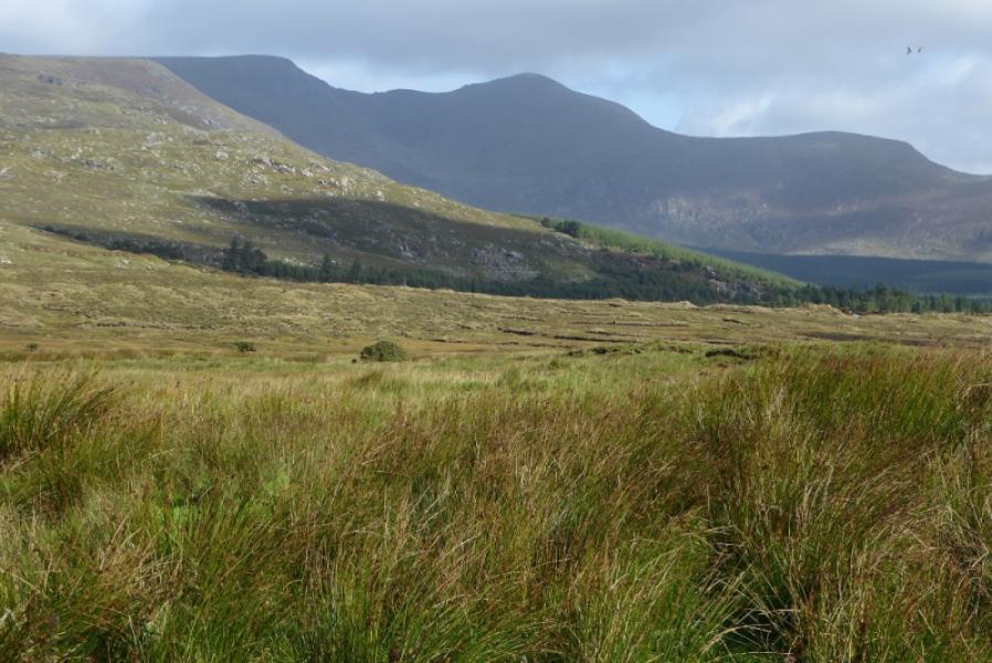
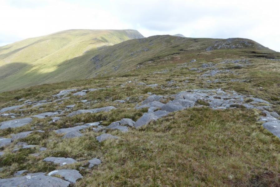
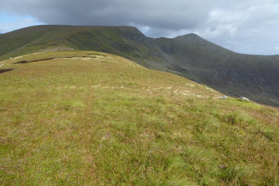
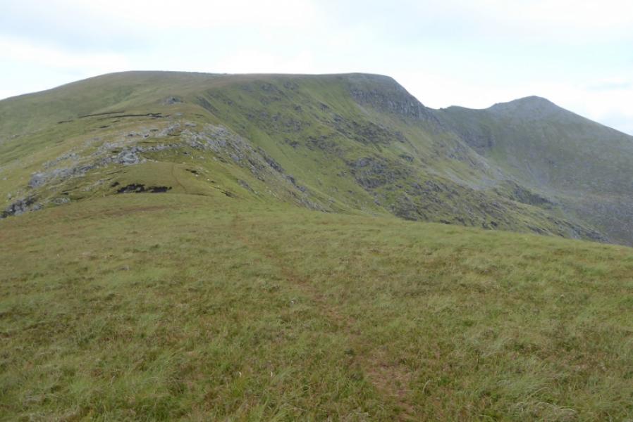
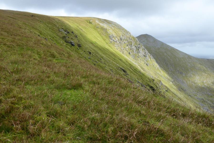
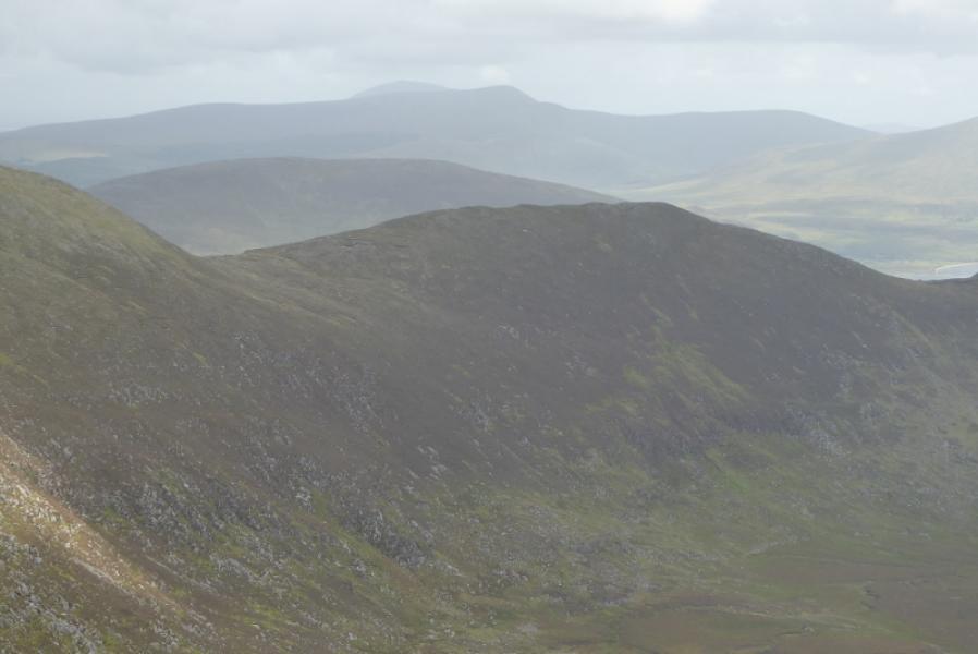
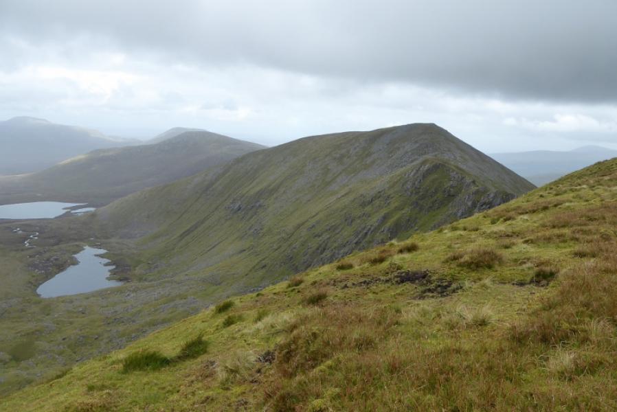
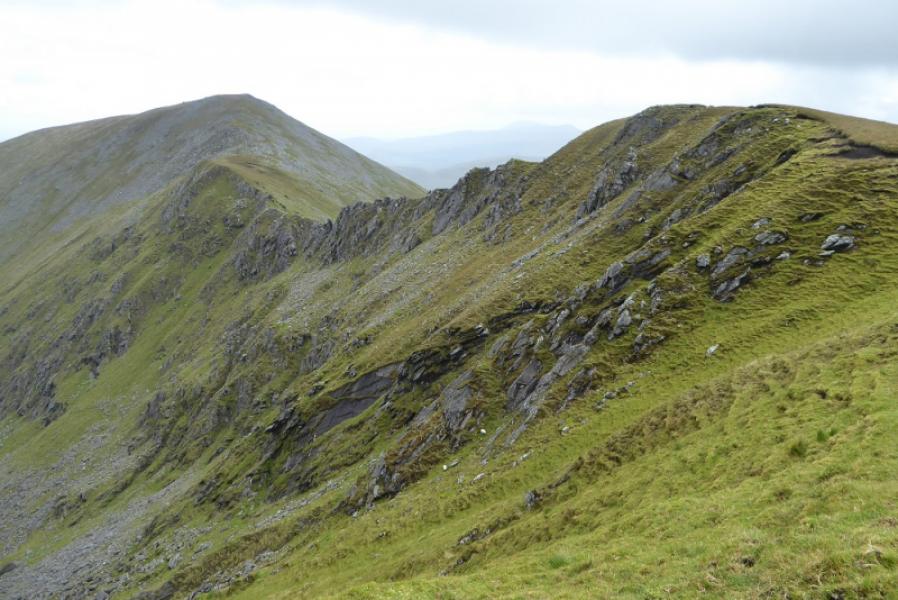
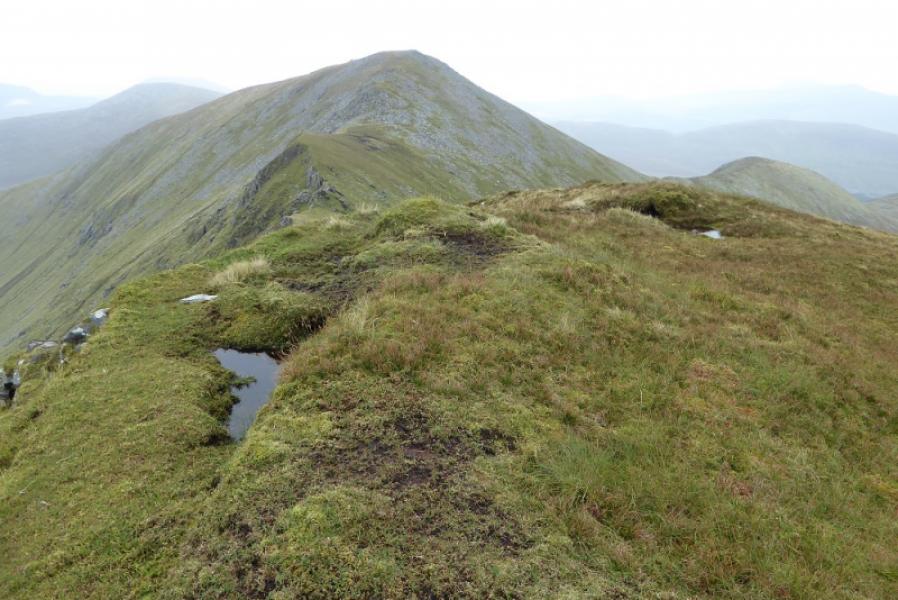
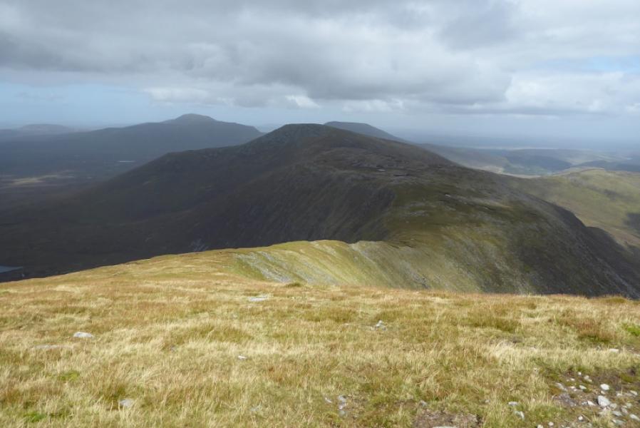
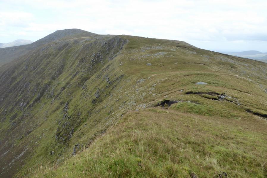
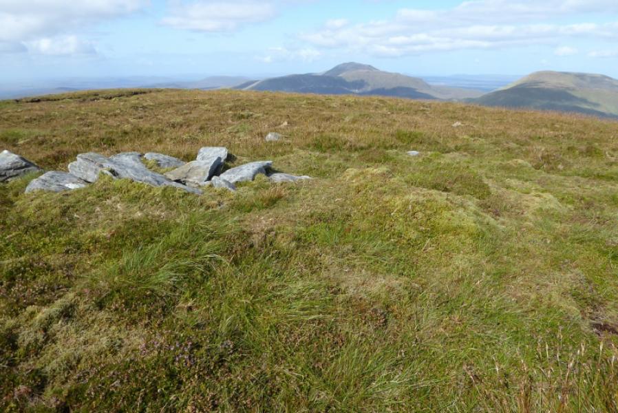
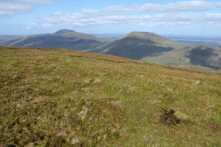
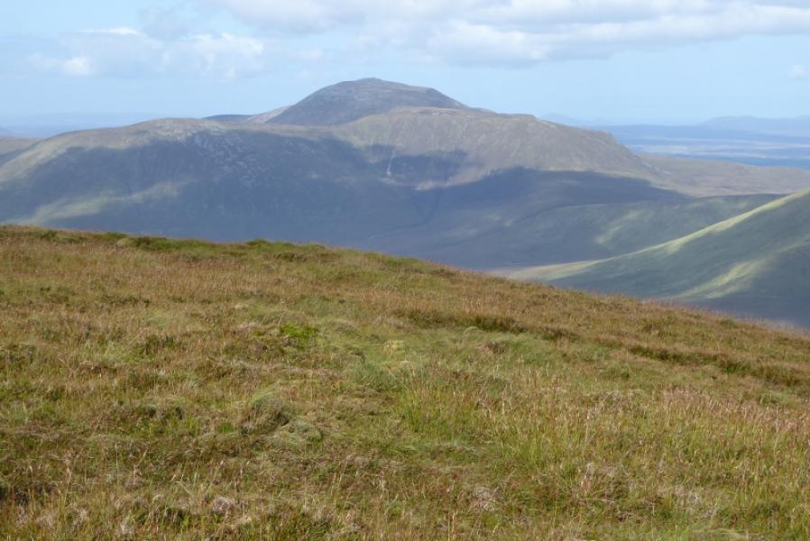
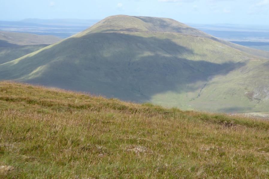
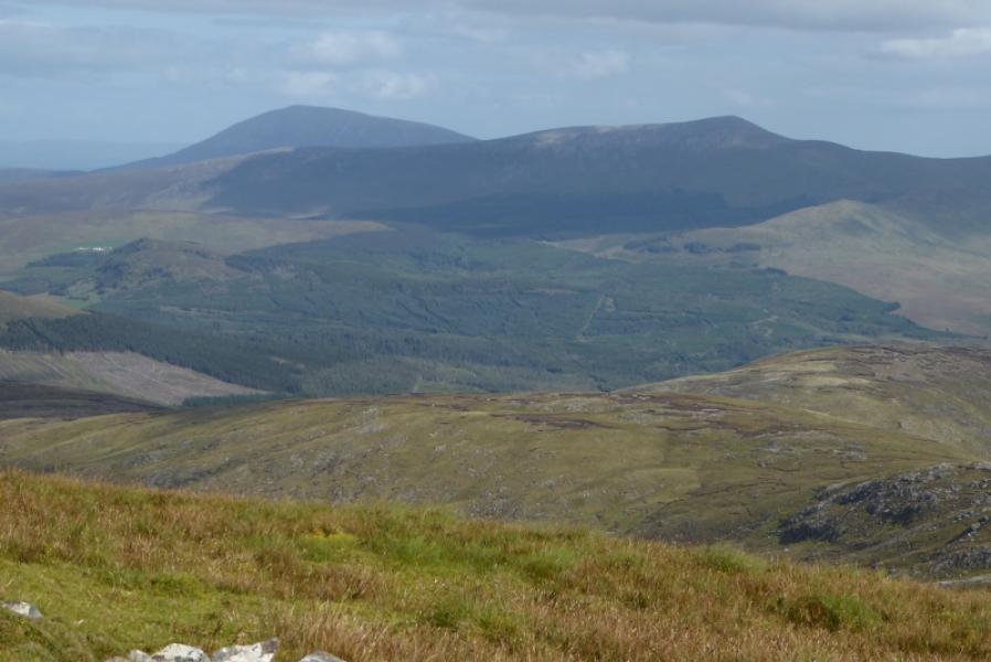
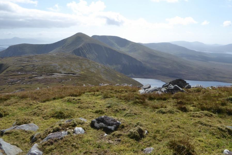
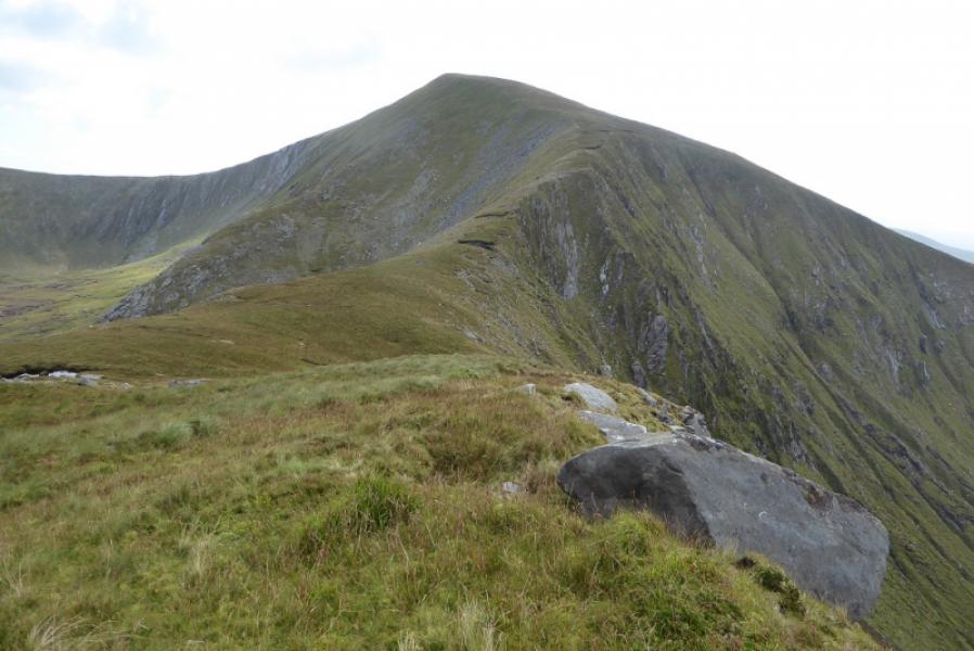
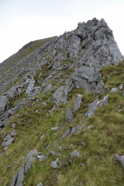
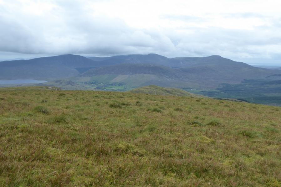
This is a tough walk which is retraced from end to start meaning some significant reascending. The route visits the SW Top of Corranabinnia. There is little point in visiting the W Top as it is just grassy plateau with peat hags! The ridge between the SW Top and Corranabinnia is very rocky for a short time and the rock is quite loose. Many will wish to avoid it on the E side. There are excellent views to Slieve Cor, Nephin Beg, Croagh Patrick, Nephin and Birreencorragh.
Route
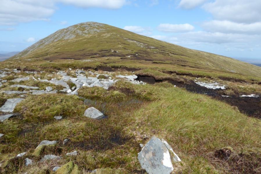
(1) Follow the track over Glendahurk Bridge then up. Leave it at a suitable point. On 3/9/18, there were 2 “poles” across a ditch which was a good place to leave the track. The end of the track is not much further anyway. Walk up the broad and easy angled ridge until top 478 is reached. Descend to a gap then continue up. Reach the summit crest then turn right for the SW Top. There is no cairn but the highest point is fairly obvious in clear weather as it is close to the steep descent to the arete. This is Corrabinnia SW Top, 687 m.
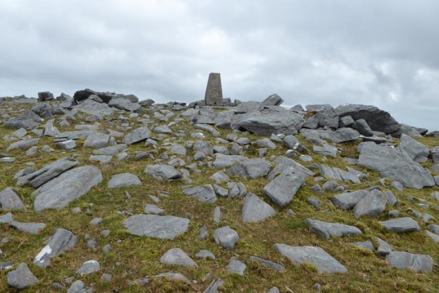
(2) Descend NE on steep ground. The arete is easy at first then the rock becomes more awkward so, if necessary, drop down to the right, E, before reascending back to the crest later. Reach a low point then walk up moderately steep slopes to reach the trig point which is the summit of Corrabinnia, 716 m.
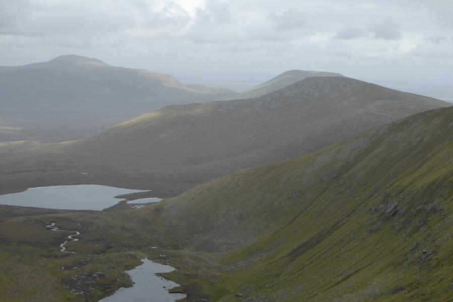
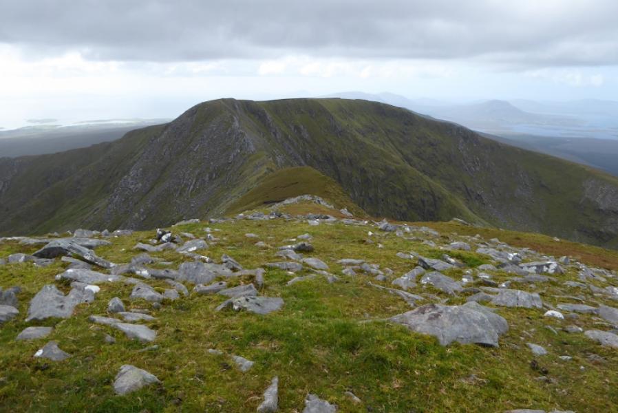
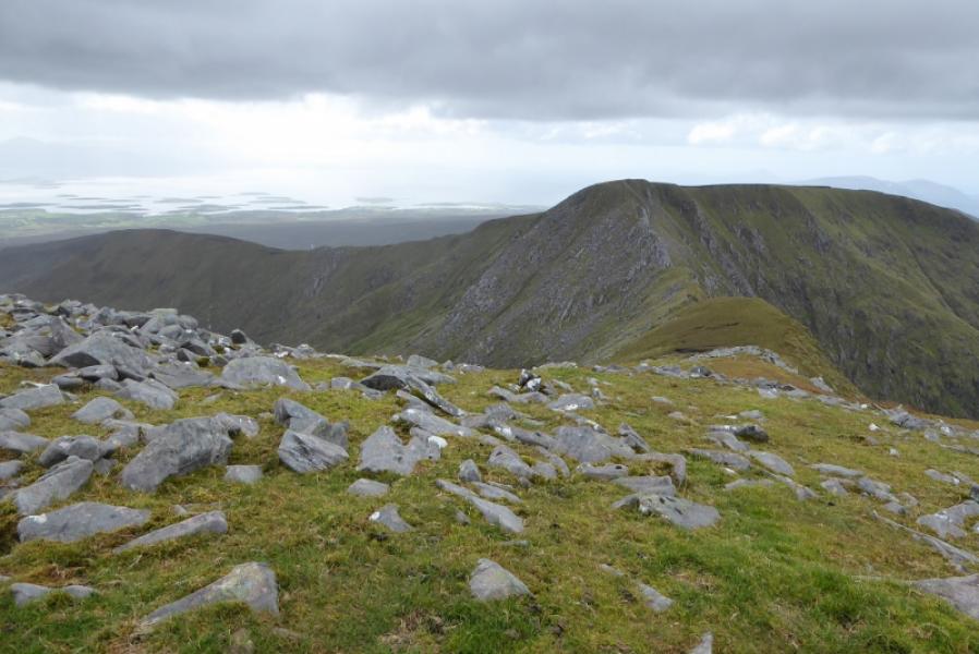
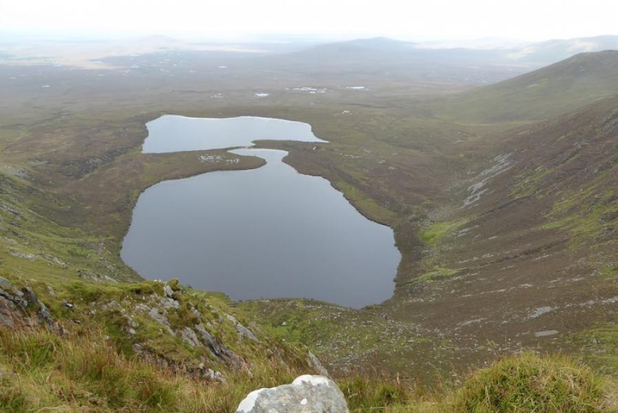
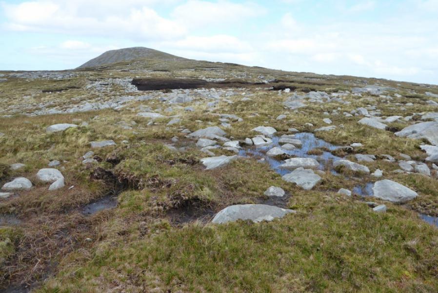
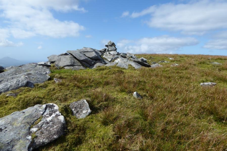
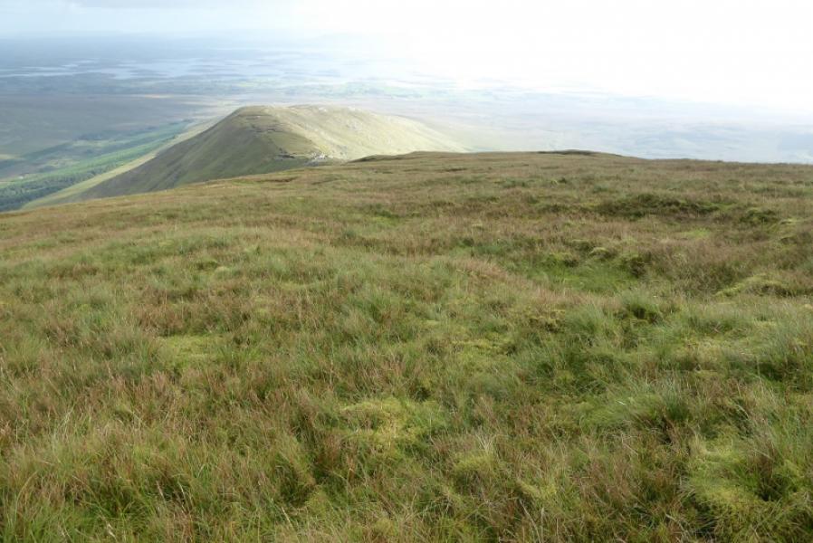
(3) Descend easy grassy slopes just E of N. These soon steepen and the ridge narrows before reaching a col. Ascend a broad ridge with little gradient until a steepening leads to the summit plateau where a small cairn does not seem to be the summit which appears to be about 100 m to the N where there are some large stones on the ground. This is Glennamong, 628 m.
(4) Retrace the outward route.
Notes
(a) This walk took place on 3rd September, 2018.
(b) Omitting Glennamong would save at least 2 hours and 6 km.
(c) Note that some of the photos have used the Irish language names for some of the mountains. Nephin Beg and Nephin are the same. Birreen Corrough is also Birreencorragh, Corrshliabh is Slive Cor, Maol Rua is Corranabinnia SW Top, Corr na Binne is Corranabinnia and Mamer Dougher is Glenamong.
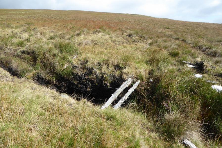
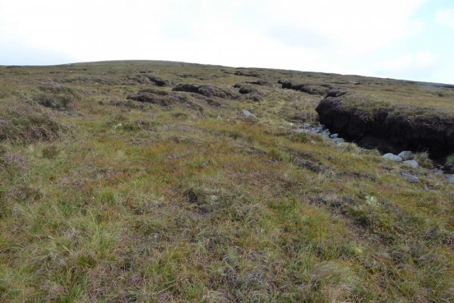
Photos - Hover over photo for caption. Click on to enlarge. Click on again to reduce.