Get Lost Mountaineering
You are here: Ireland » West » Birreencorragh & Nephin
Nephin from R312 to South
Nephin from R312 to South
Start/Finish
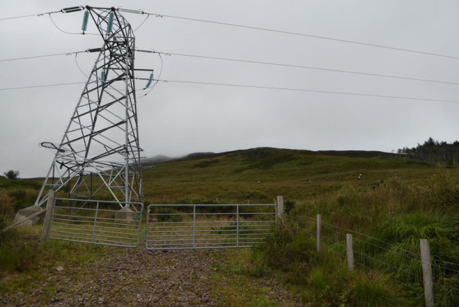
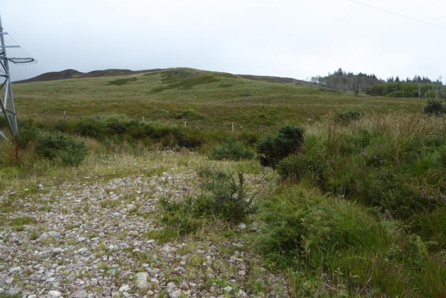
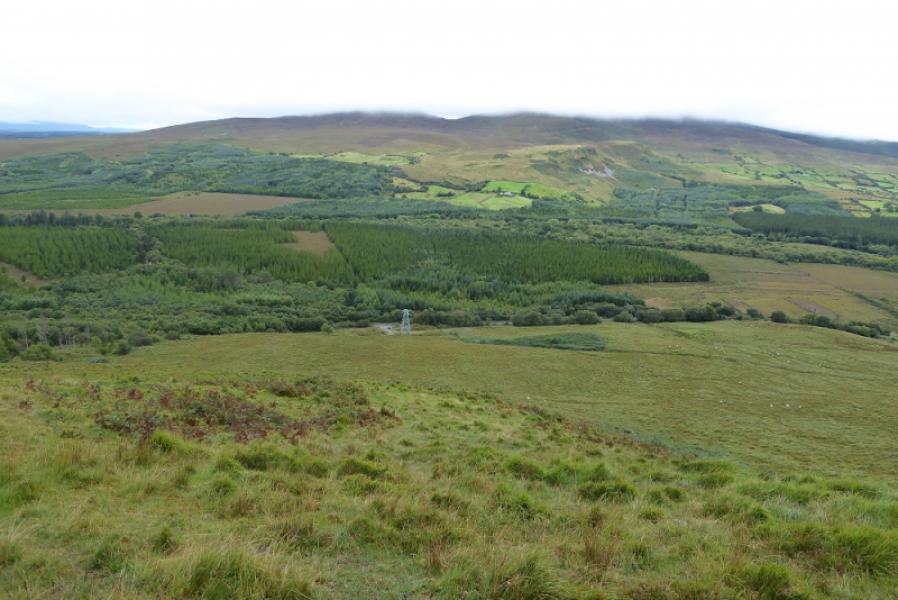
As close as you can sensibly and safely park to the edge of the forest on the R312 at G 083 052. This is about 2 miles/3 km north of the R312 junction with the R317 road to Newport and about 1.3 miles/2 km south of the R312 junction with the R316 road to Crossmolina.. It is difficult to spot the edge of the forest when coming from the south because the road is tree lined. The best place to park is at the wide rough gravel entrance/access gate to the only pylon in the area. There is a 2 car lay by which is a short distance to the south.
Distance/Time
8 km. About 4 hours.
Peaks
Nephin, 806 m, G 103 079 (Irish National Grid System)
Irish OS Discovery Maps 23 or 31
Introduction
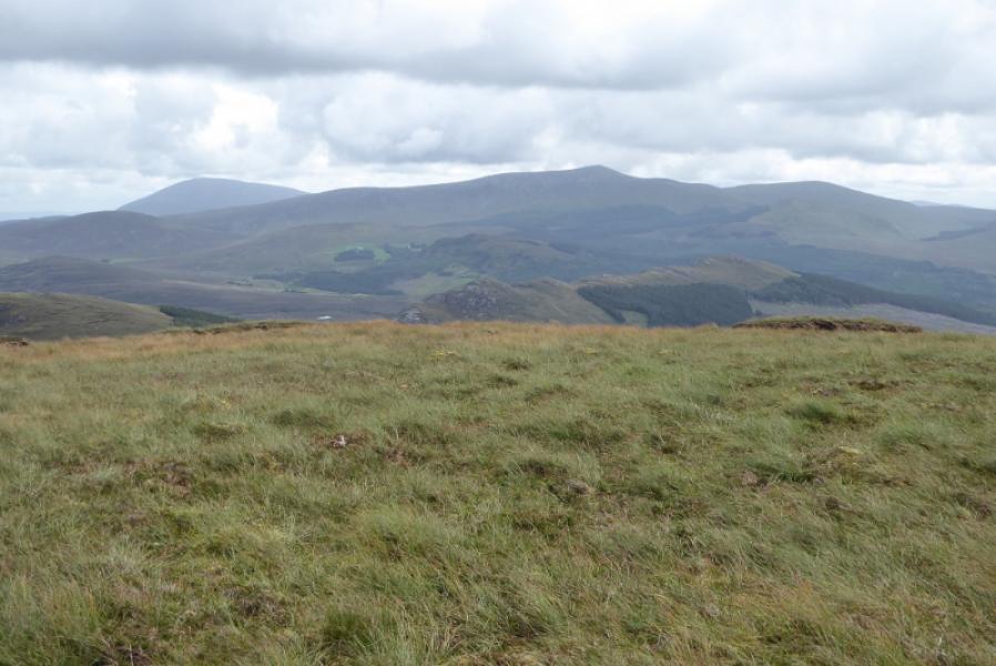
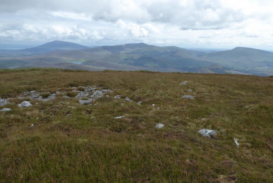
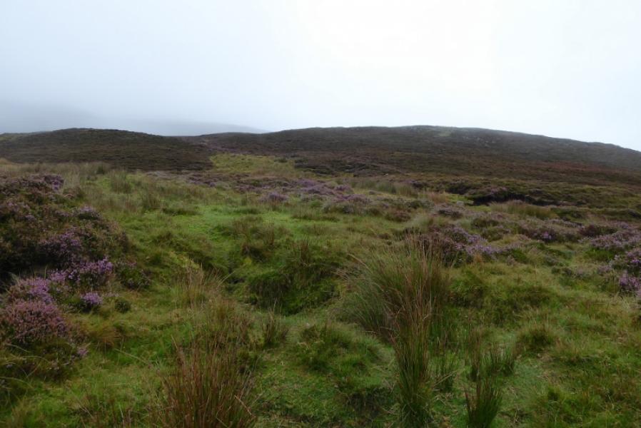
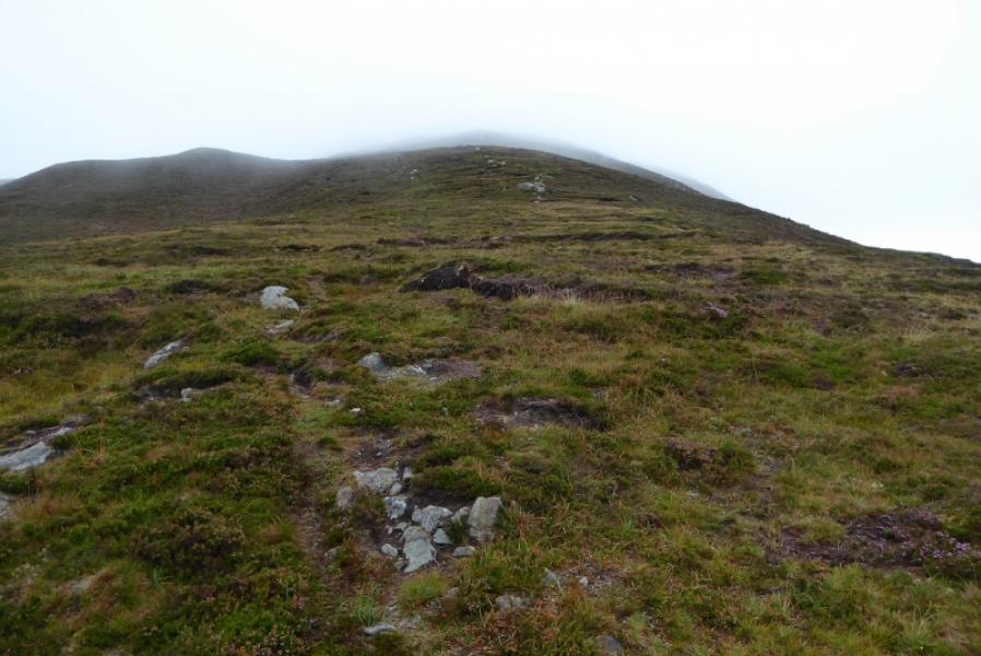
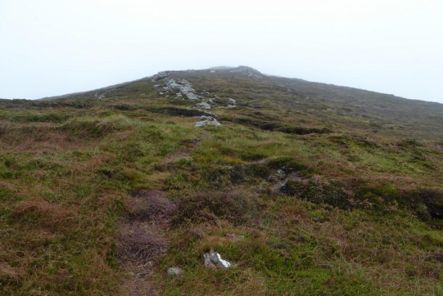
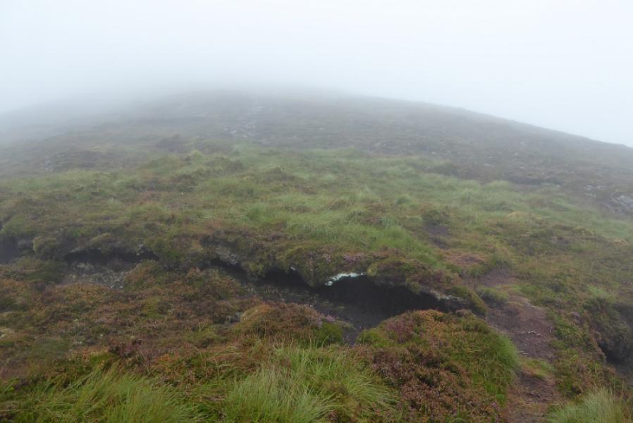
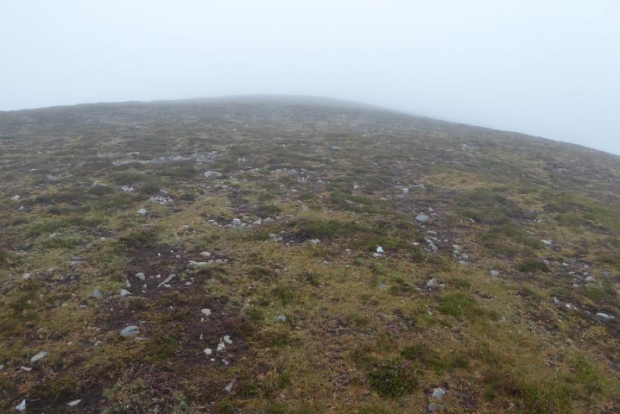
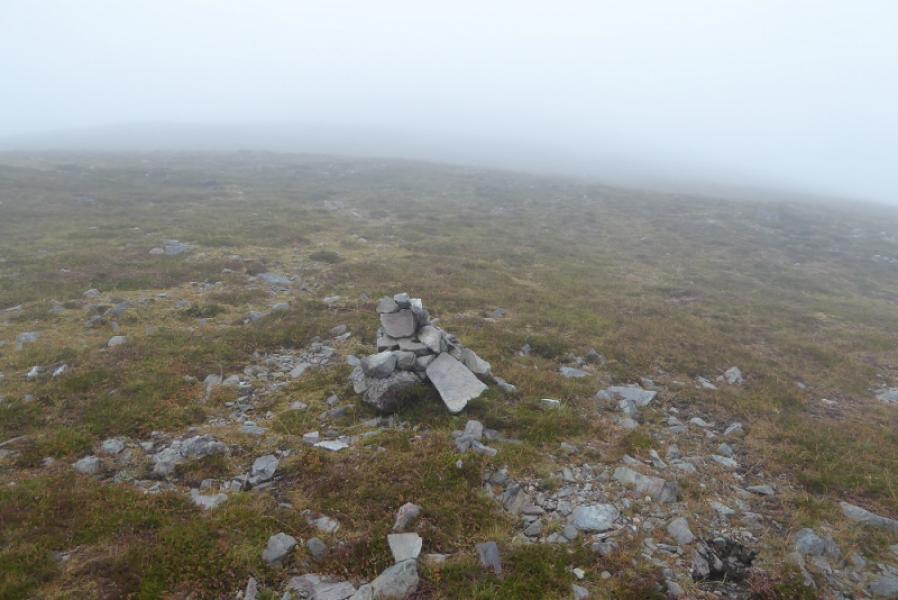
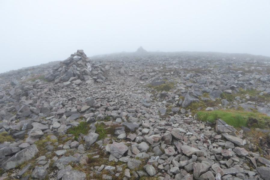
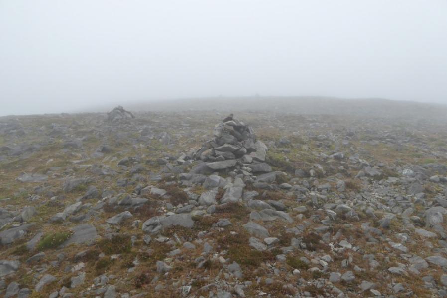
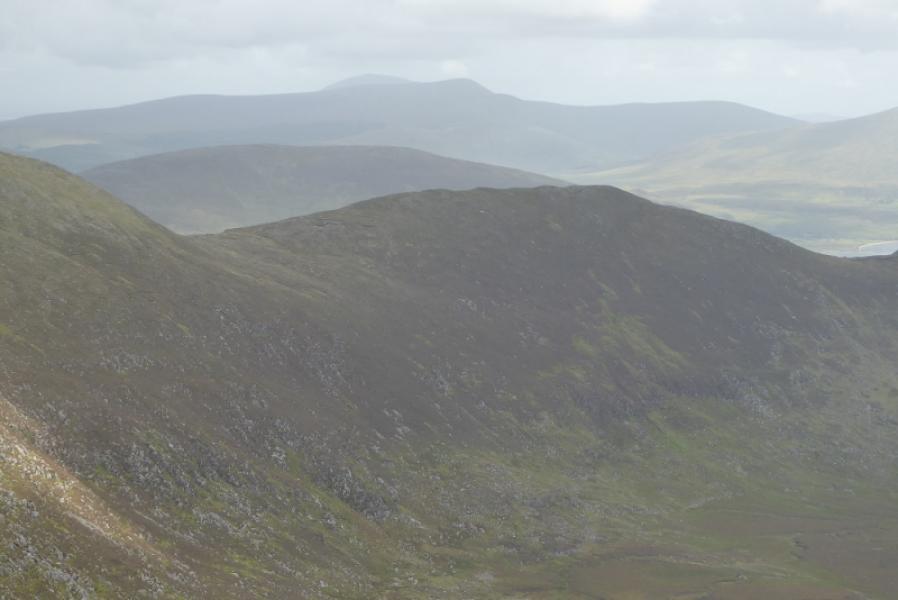
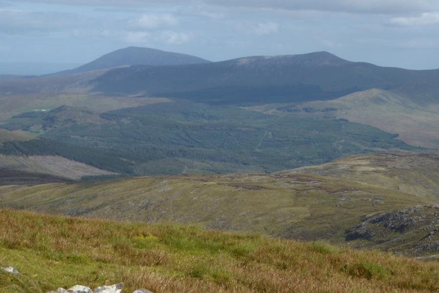
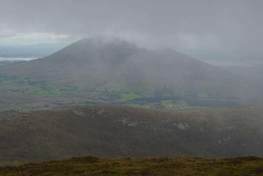
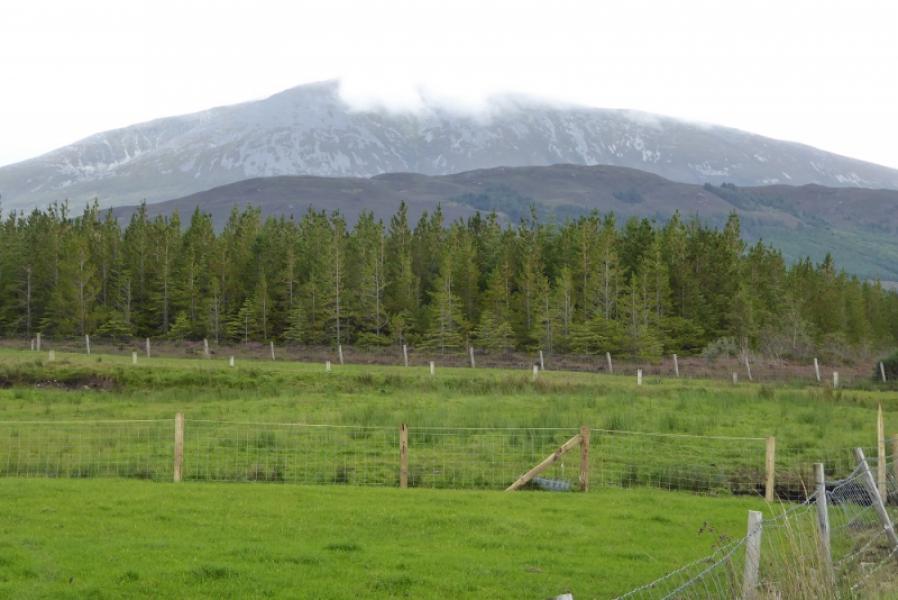
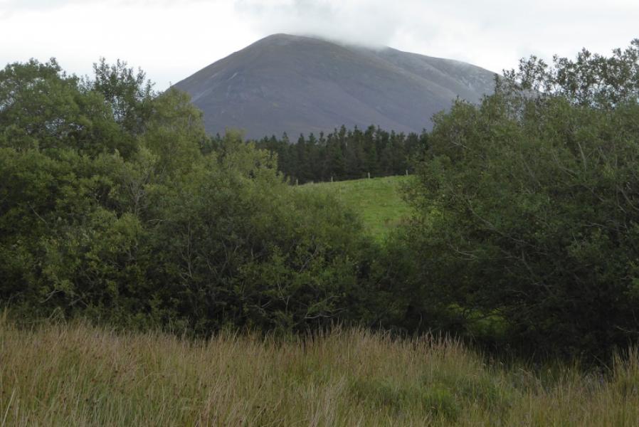
Nephin is the highest peak in the area and is a solitary mountain which dominates the landscape with great views in clear conditions. The route is fairly straightforward even in mist as the long S ridge is followed for much of the way. There is a good path in places. The steepest section is above the road after which the gradient is moderate at worst. There is no rock to worry about and there are several useful cairns higher up. There is a large shelter cairn about 200 m south of the summit which might be missed if ascending in mist as the normal line to the summit would pass about 100 m to the west of this.
Route
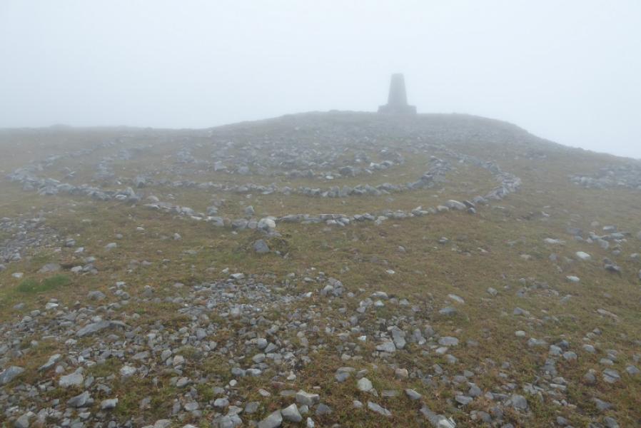
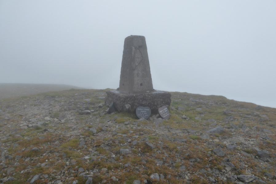
(1) From the pylon go left to cross the fence most easily then start picking a way up hill heading roughly NE. There is more than a hint of a path in places. Reach a barbed wire fence and cross it about 50 m from its junction with another fence; there is no stile but it is not too high. There is much heather after this fence but plenty of grassy channels for easier progress. When the way ahead seems to be all heather, look for a faint path going off to the right to join the ridge over to the right. This is the S ridge. Once reached, there is a good peaty path up it for some distance which bypasses any outcrops and rocky ribs. Once the peat runs out, the path is not so obvious so continue up in the same direction on easy stony ground. Further up, reach a cairn, the first of several although the gaps between them are too long in thick mist! A little further up, there is a large cairn after a path up a short section of easy angled scree/gravel. Continue up and pass several more cairns including two double cairns which are good markers. The ridge is broad but not too broad and it is easy to walk up the middle of it. The ridge broadens considerably as the summit is approached. Only a complete trig point marks the summit of Nephin, 806 m. There may be memorial plaques around the trig point. The shelter cairn is about 200 m away and slightly E of the ascent route. It will have been noticed in clear weather but, perhaps not in mist.
(2) Retrace the outward route being careful to locate the line of cairns to begin with then the peaty path lower down.
Notes
(a) This walk took place on 1st September, 2018.
Photos - Hover over photo for caption. Click on to enlarge. Click on again to reduce.