Get Lost Mountaineering
You are here: Ireland » West » Nephin Beg Range
Nephin Beg from Letterfreen to the South
Nephin Beg from Letterfreen
Start/Finish
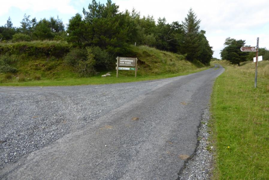
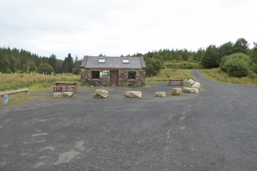
Free car park by Letterfreen Bothy. From Newport, take the road towards Bangor. After clearing the village, look for a right turn signed Furnace. Follow the minor road north for about 8 miles going straight on at each junction. After about 7 miles, pass a small farm then reach a notice board about the Western Way at the start of a track going left. Do not follow this track but continue on the road. Pass a large parking area on the right then some notice boards before reaching the left turn, well signed, for Letterfreen. Turn onto the track and follow to the first left turn which soon leads to the bothy car park.
Distance/Time
20 km. About 6 – 7 hours.
Peaks
Nephin Beg, 627 m, F 932 102 (Irish National Grid System)
Irish OS Discovery Maps 23 & 31
A much better map, at a larger scale, is Wild Nephin published by East West Mapping.
Introduction
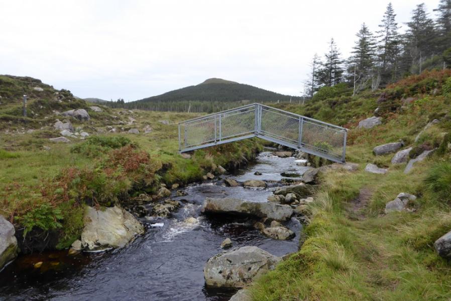
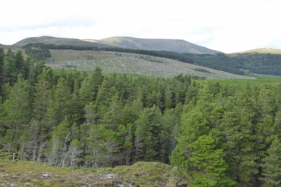
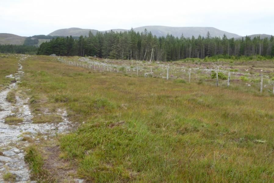
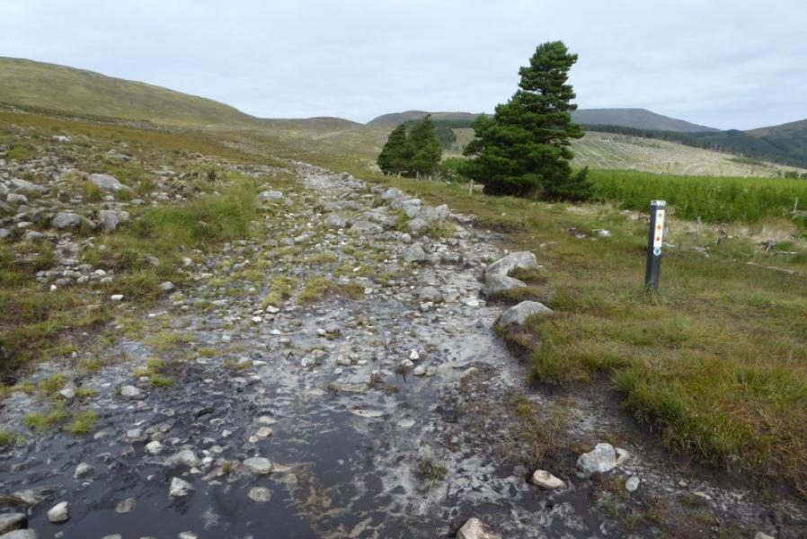
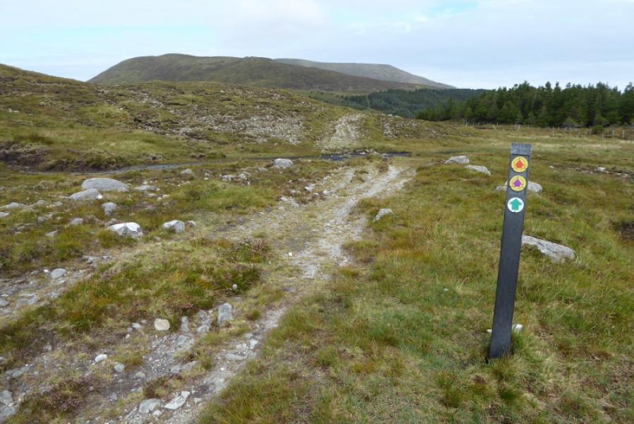
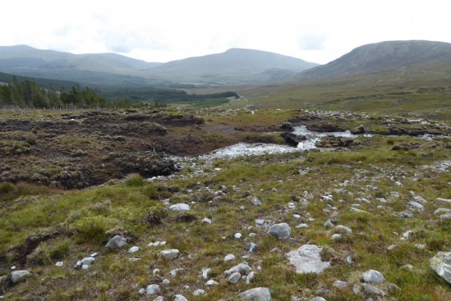
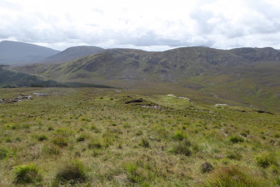
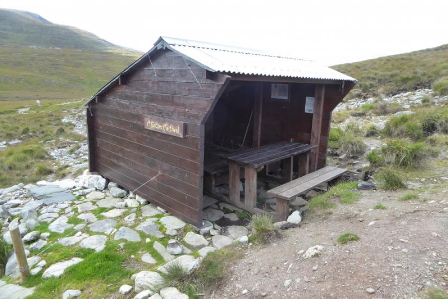
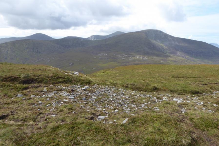
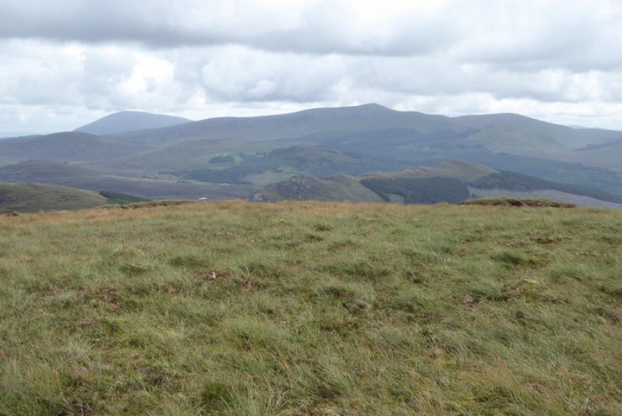
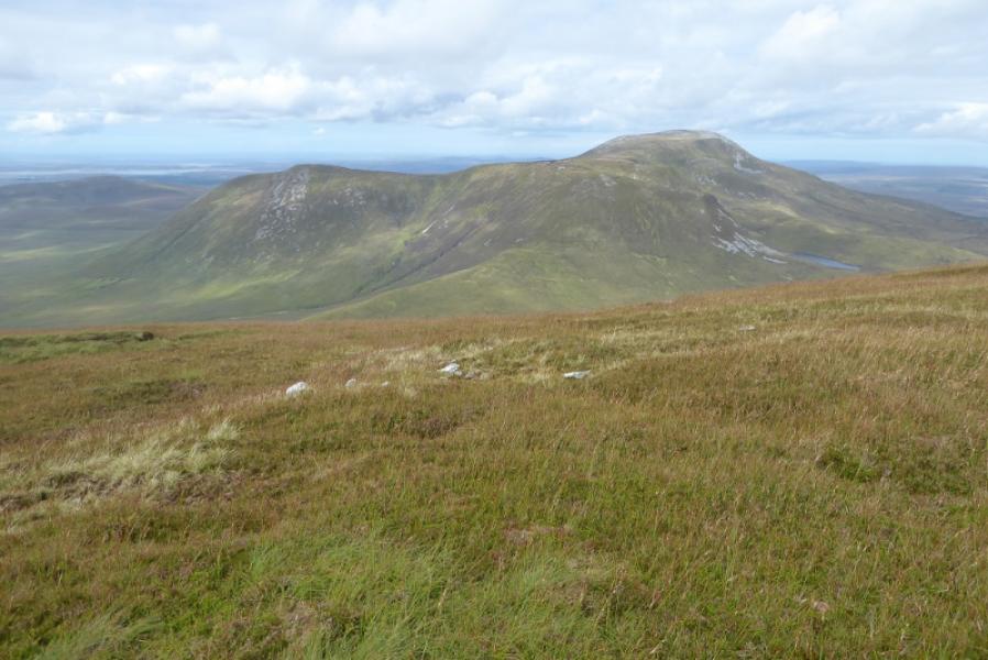
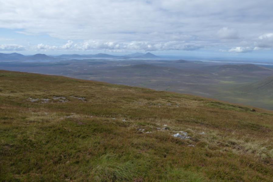
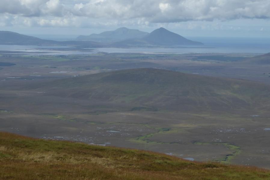
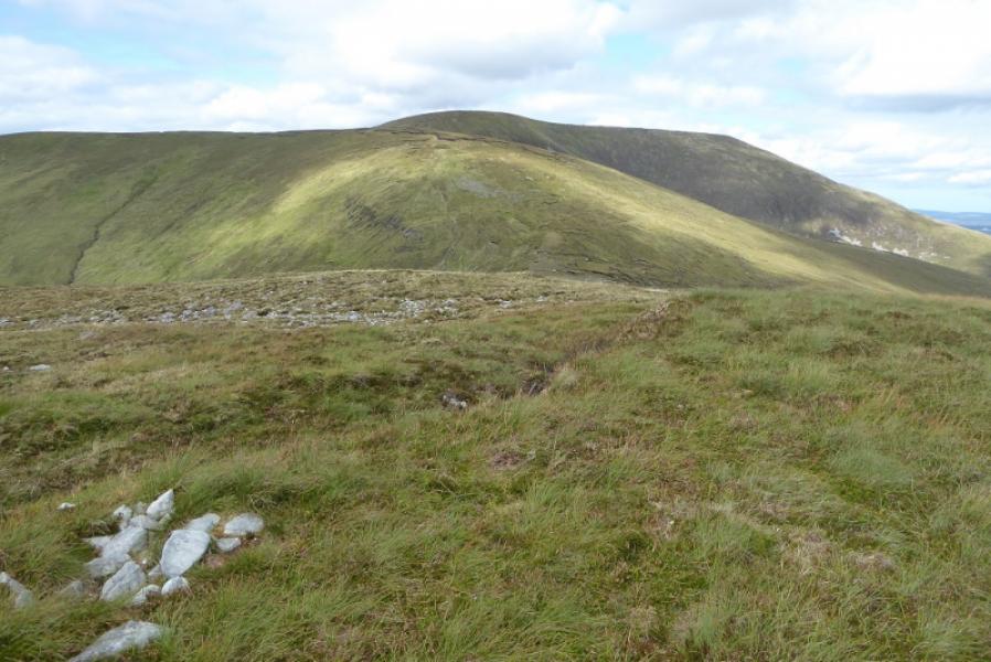
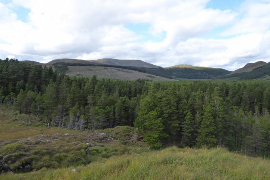
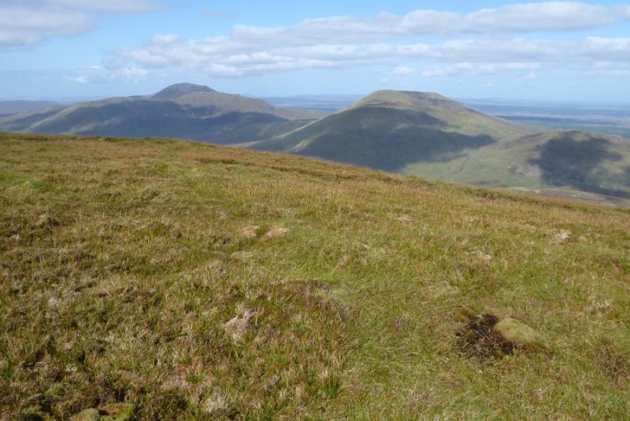
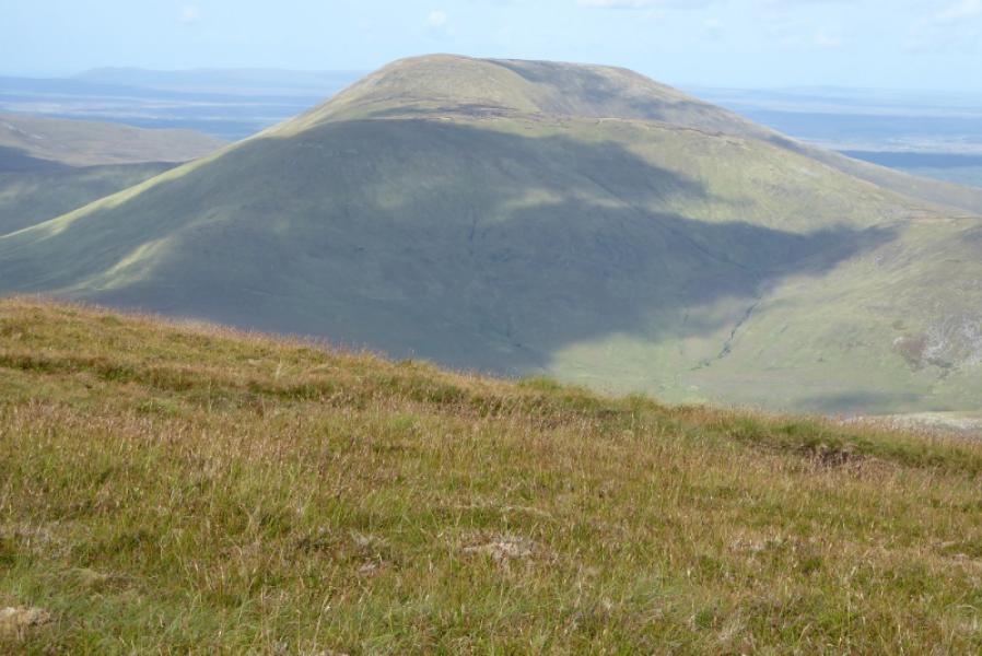
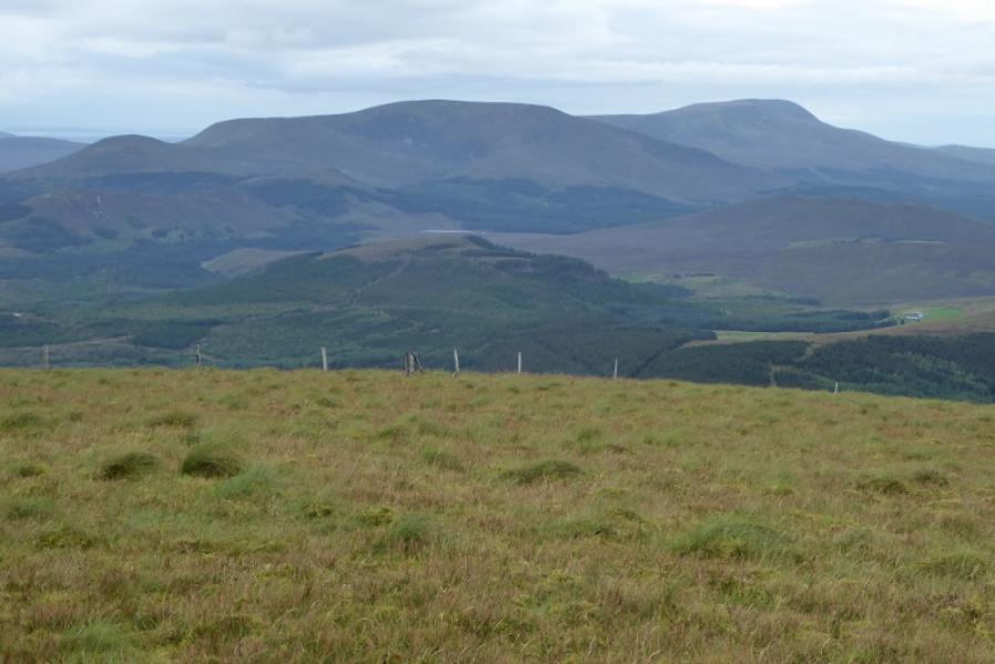
Nephin Beg is quite a remote mountain but can be reached without too much trouble via the Bangor Trail from Letterfreen to the south east. It has a mountain range named after it even though it isn't the highest hill! The Bangor Trail is easy to follow but can be boggy in a few places and also quite stony. There are bridges over all rivers and streams and a shelter just above where the trail is left to climb Cruckgarru which sits between the Bangor Trail and Nephin Beg and involves losing about 60 m of height. The bothy in the car park is usually unlocked and very clean but no chairs etc! Nephin Beg is a good viewpoint for Nephin, Birreen Corrough, Maol Rua, Corr na Binne, Mamer Dougher and even Achill Island.
Route
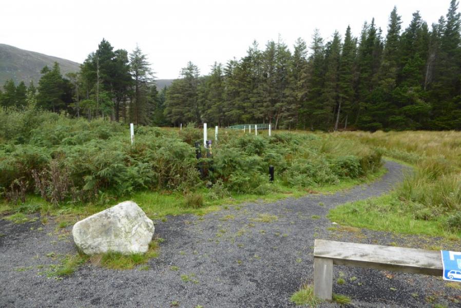
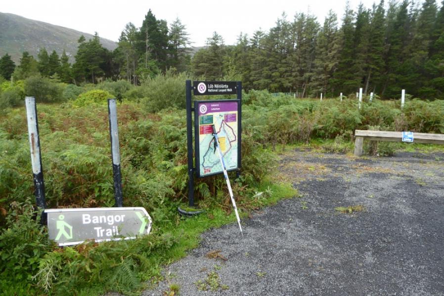
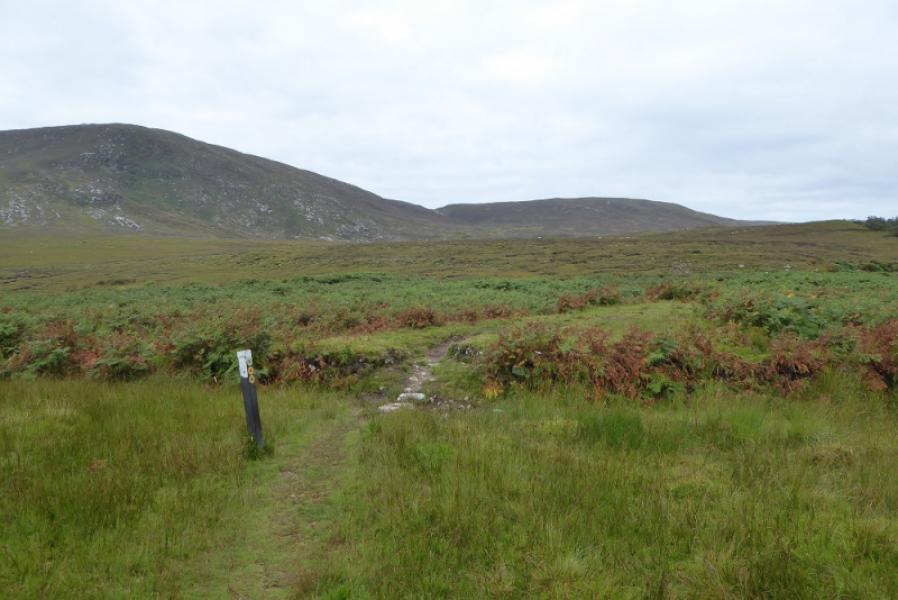
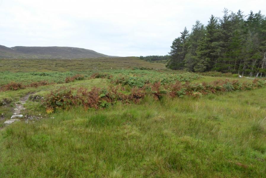
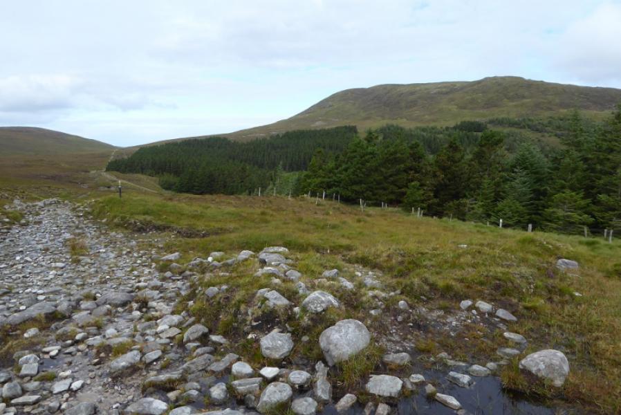
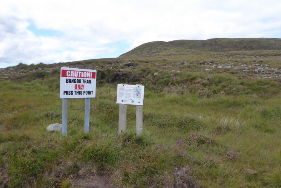
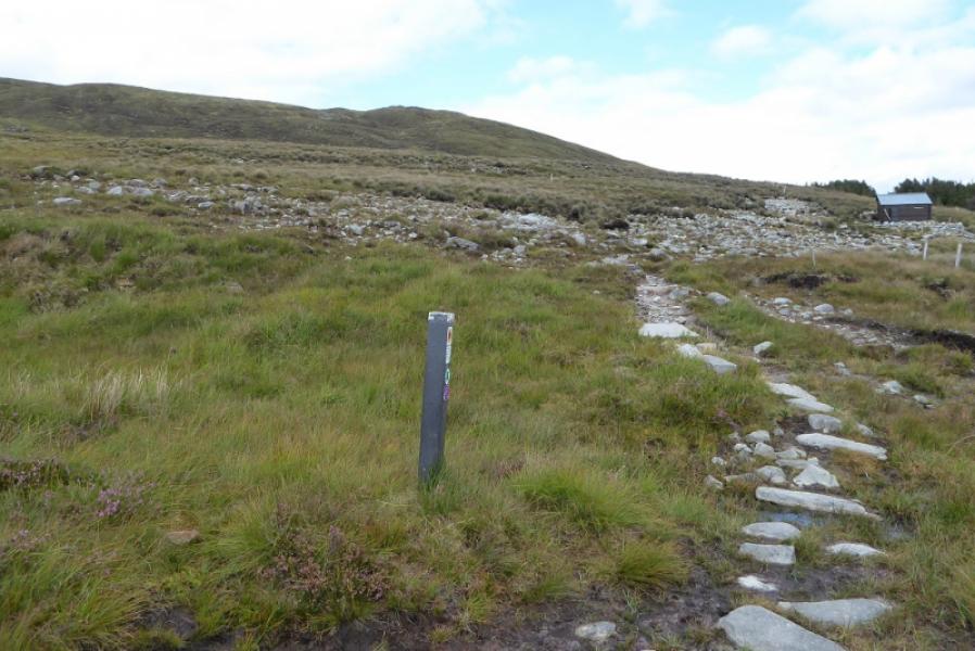
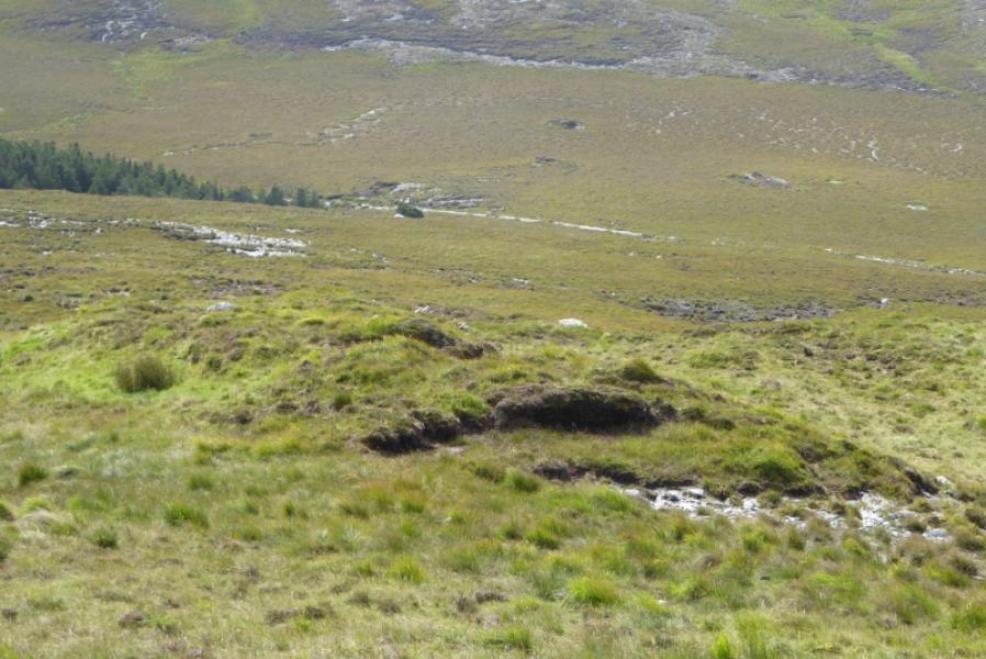
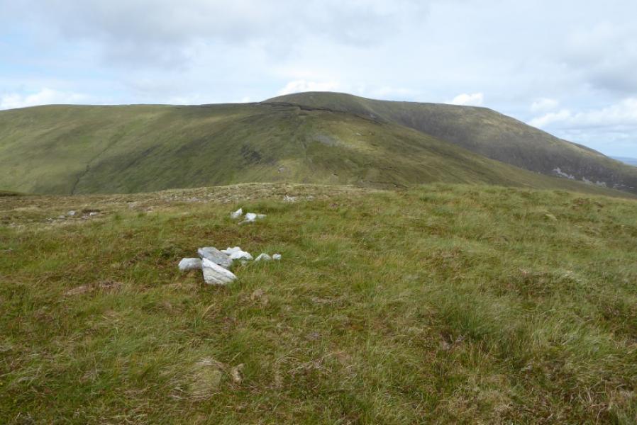
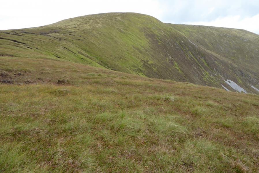
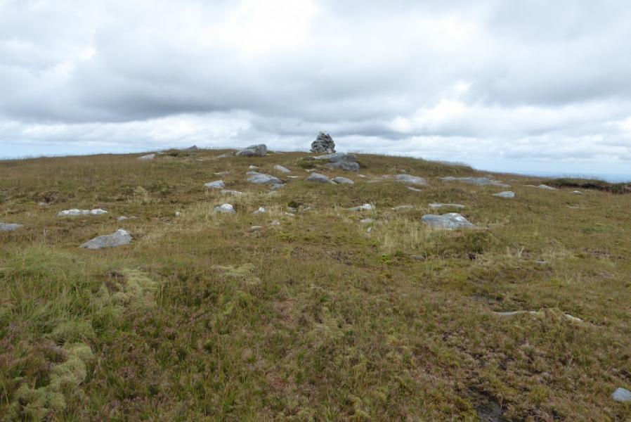
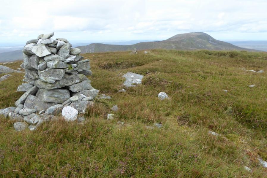
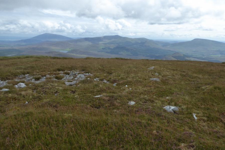
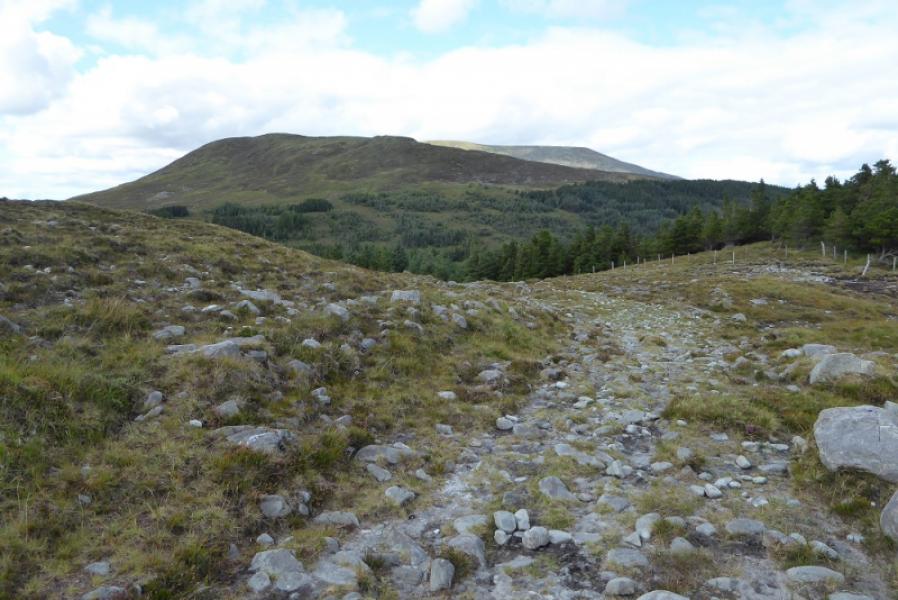
(1) Follow the obvious path from the car park to reach the bridge over the river. Turn left and follow a path slightly downstream until it heads away from the river and starts shadowing the edge of the forest The path soon becomes fairly obvious and there are marker posts every so often for the way marked paths from the car park. The Bangor Trail is not marked on all the posts but appears on some as a green arrow. Some of the forestry shown on the maps has been cleared and replanted but old forest returns later on. There is some up and down on the path but not too much. After about 5 km, reach a high point on the path where a large notice says that only the Bangor Trail continues from that point. Not far off to the right is the Loch Aveher shelter which is open at one end. Leave the trail here and head up mainly grassy slopes on the S flank of Cruckgarru. There is no path but the going isn't too bad. The summit is a very small pile of stones at the north west end of the crest. Descend N from the summit avoiding the peat hags around the col then ascend N, NW then NNE up Nephin Beg staying on the crest once it is gained. When the gradient eases, reach a medium cairn which is the summit of Nephin Beg, 627 m.
(2) Retrace the outward route.
Notes
(a) This walk took place on 30th August, 2018.
(b) Note that some of the photos have used the Irish language names for some of the mountains. Nephin Beg and Nephin are the same. Birreen Corrough is also Birreencorragh, Corrshliabh is Slive Cor, Maol Rua is Corranabinnia SW Top, Corr na Binne is Corranabinnia and Mamer Dougher is Glenamong.
(c) ERROR: Some photos may be mistakenly labelled "Letterfreen" instead of "Letterkeen".
Photos - Hover over photo for caption. Click on to enlarge. Click on again to reduce.