Get Lost Mountaineering
You are here: Ireland » West » Killarly Harbour to Westport
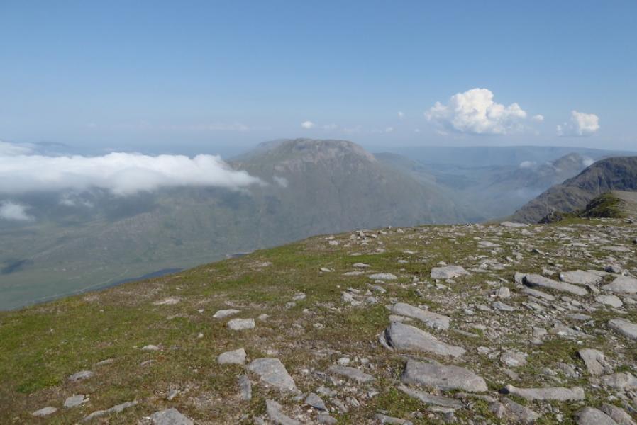
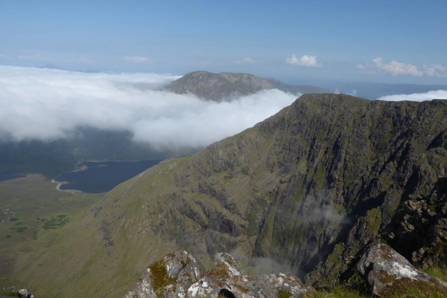
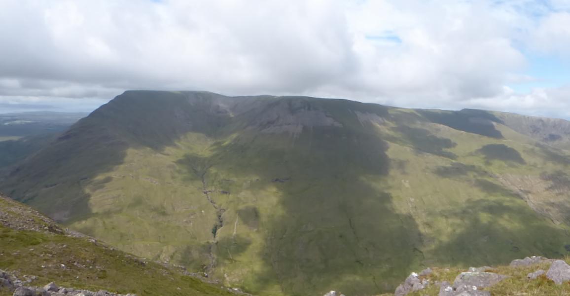
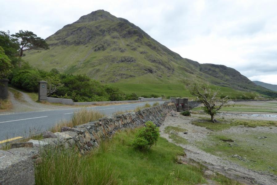
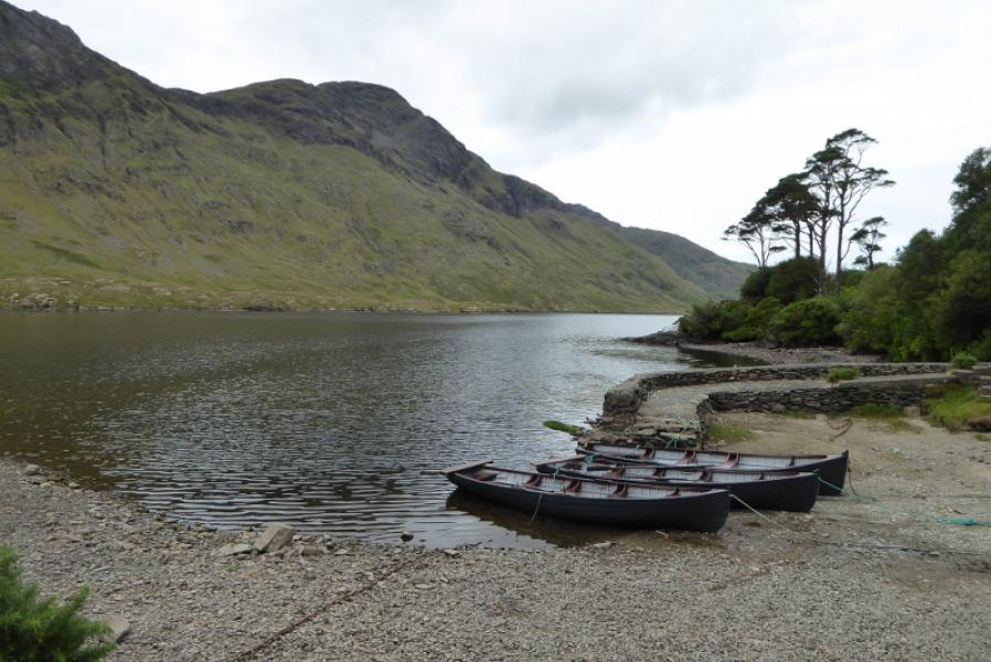
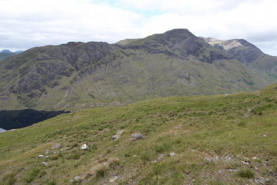
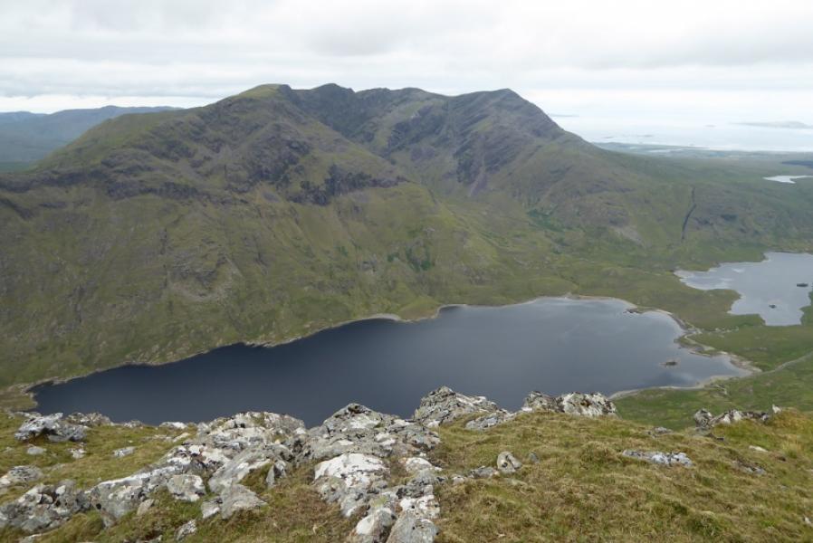
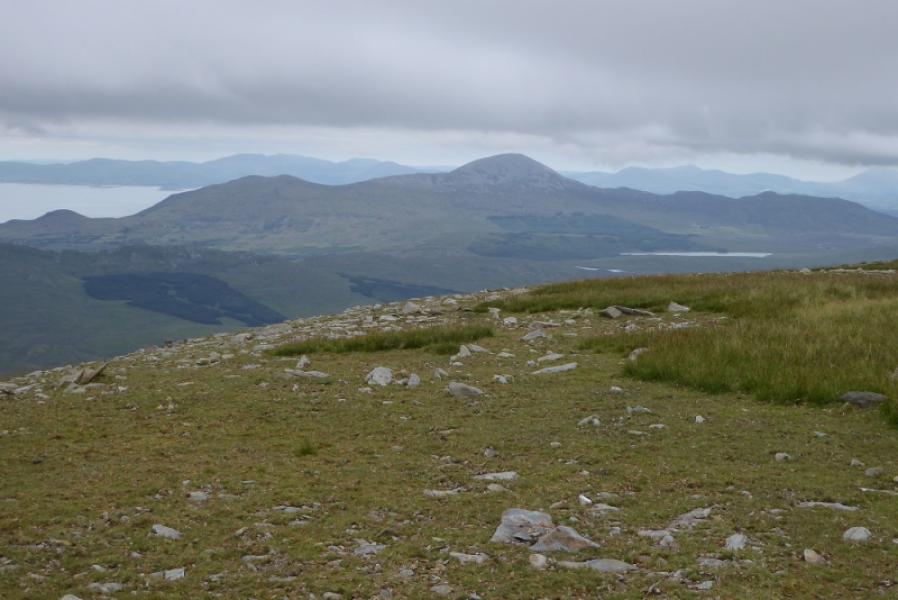
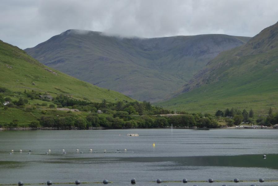
Sheefry Hills from Doo Lough
Sheefry Hills from Doo Lough
Start/Finish
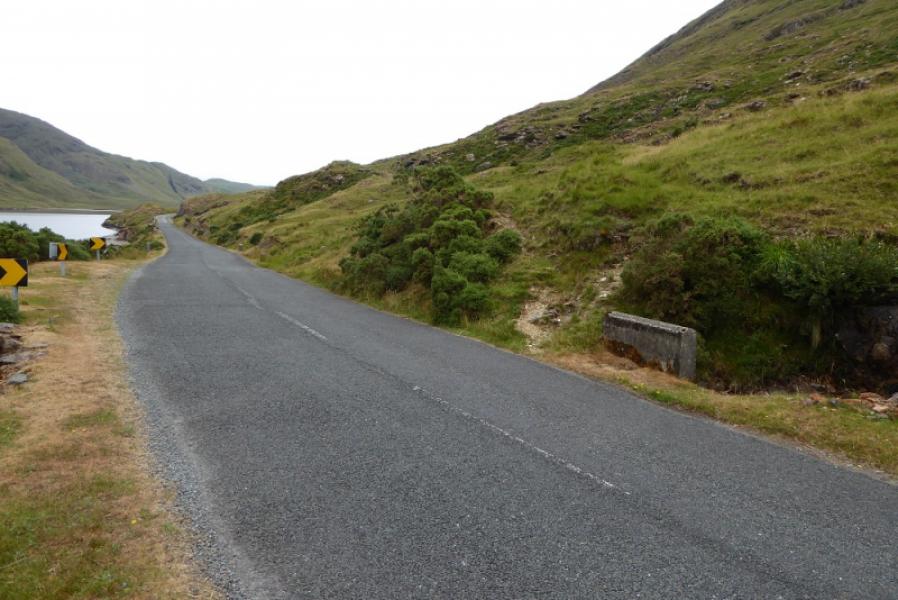
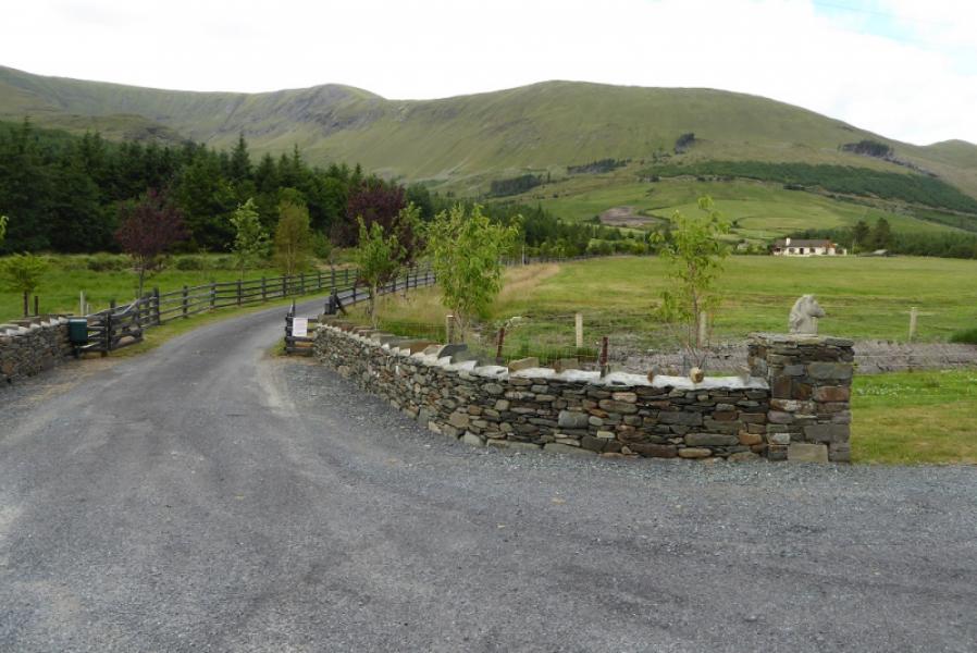
Small “fishing” car park about 300 m north of the Liscarney truning on the R335 road from near Leenane to Louisburgh. There is space for about 5 cars.
Distance/Time
15 km. About 7 – 8 hours.
Peaks
Barrclashcame, 772 m, L 849 695.
Tievummera, 762 m, L 861 694.
Tieveebinnia, 742 m, L 881 706. (Irish National Grid System)
Irish OS Discovery Series Map 37 (1:50000)
Introduction
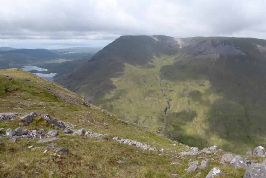
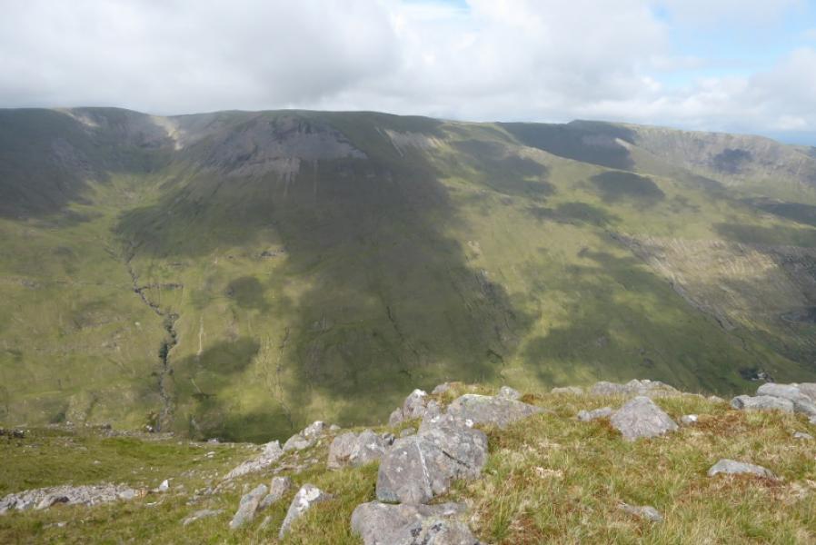
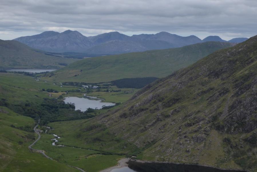
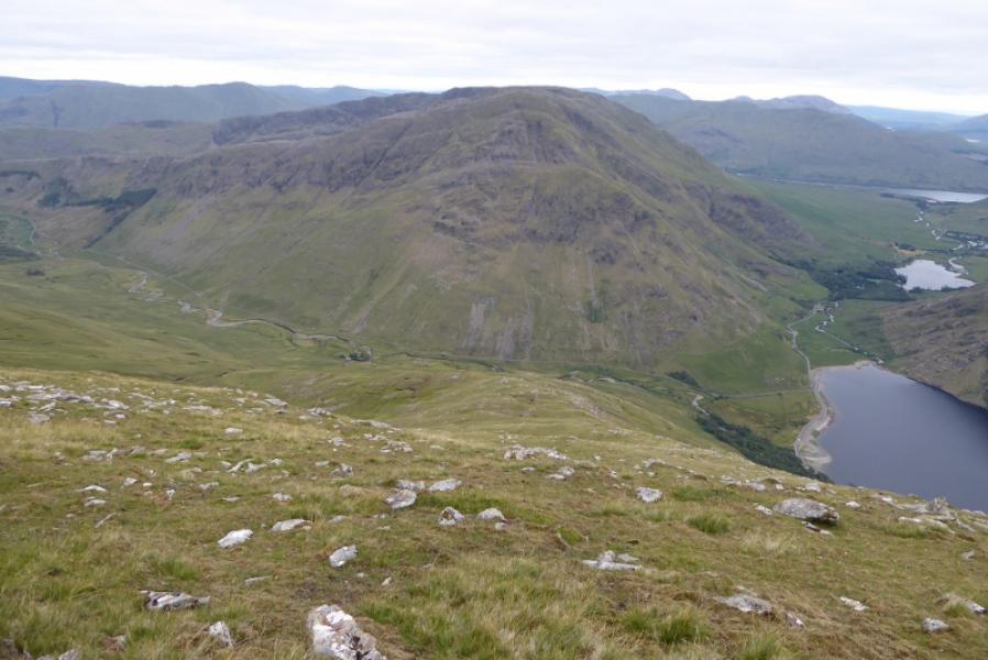
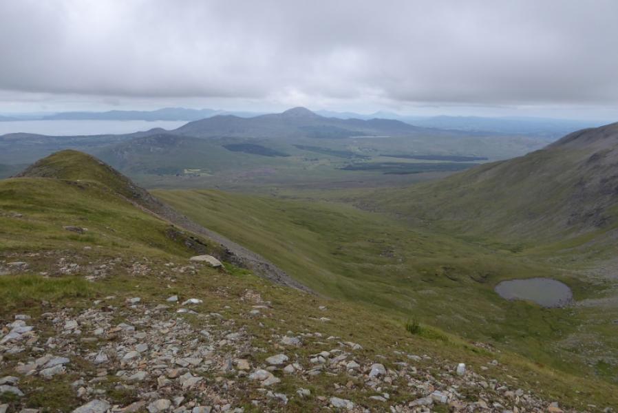
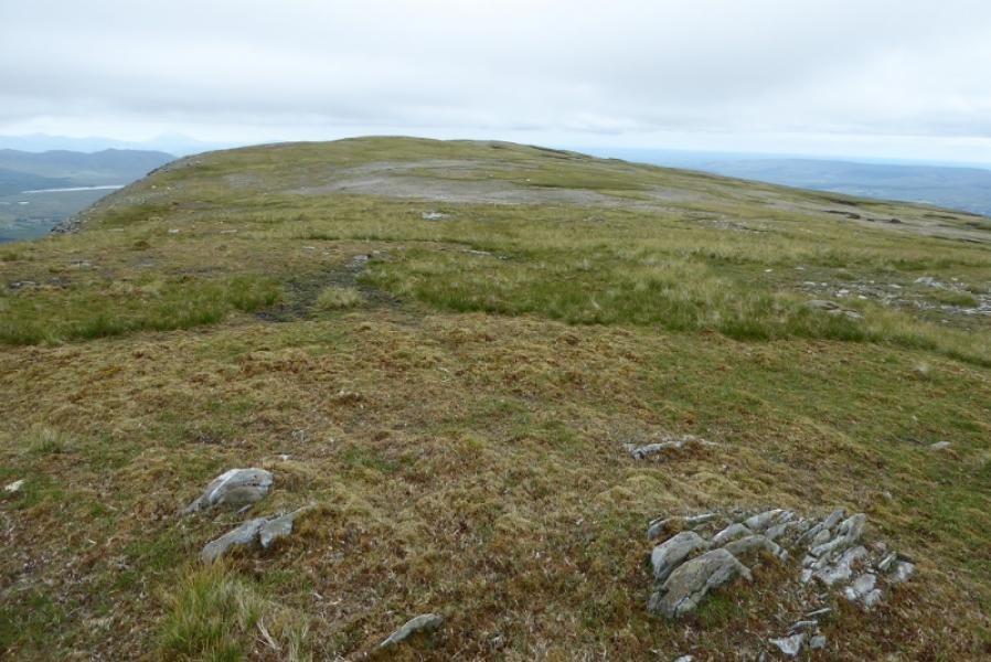
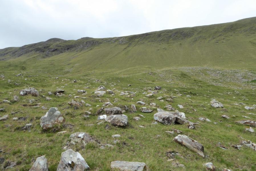
This is another tough walk in South Mayo with a very steep ascent on grass and an even steeper descent followed by a road walk of about 4 km. Once on the crest, there are only small drops between the summits and the ground is very easy to walk. There are excellent views to Ben Creggan, Ben Gorm, Ben Lugmore, Croagh Patrick and the 12 Bens. The steepness of the grassy slopes could cause concern after rain.
Route
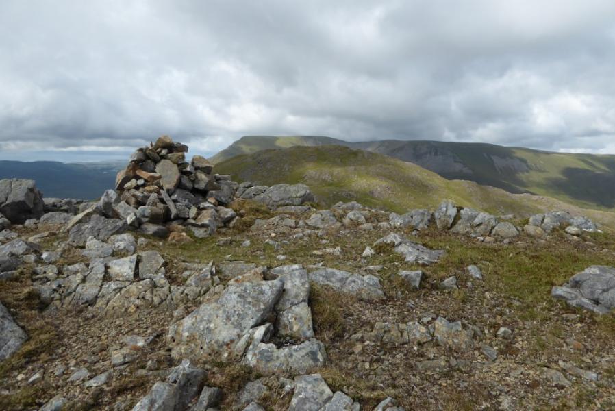
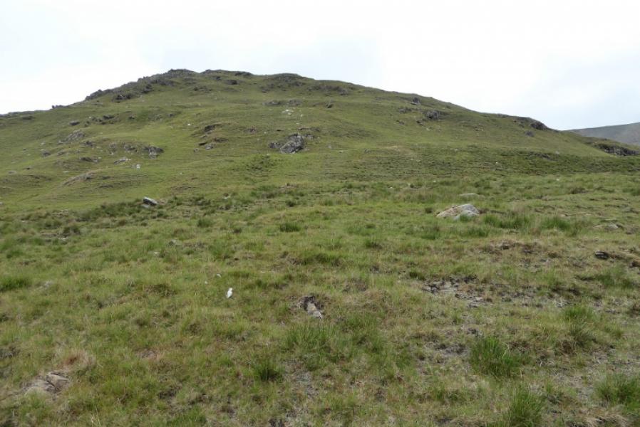
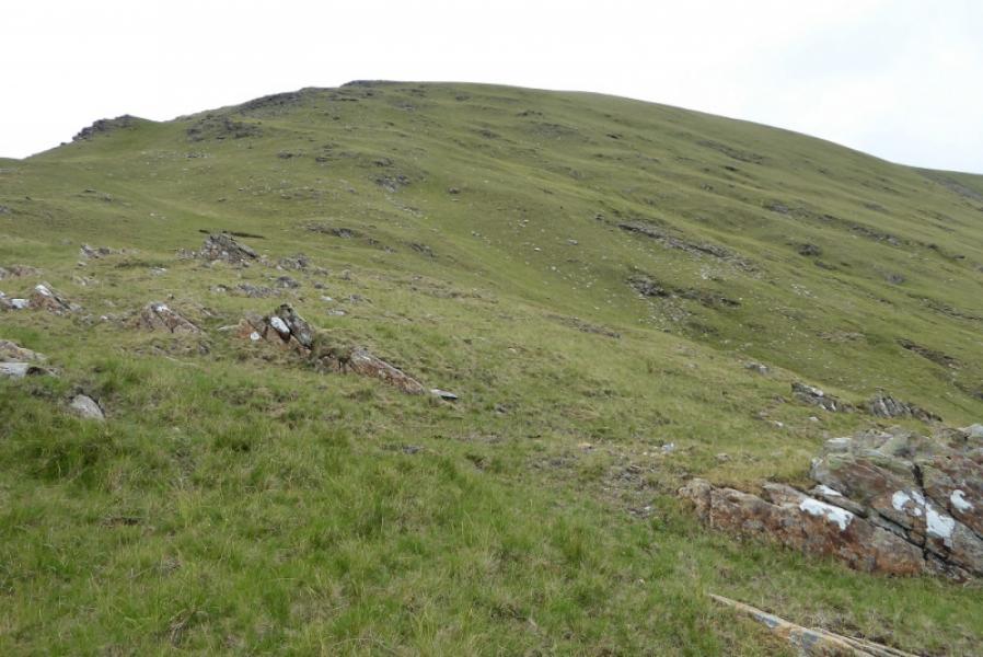
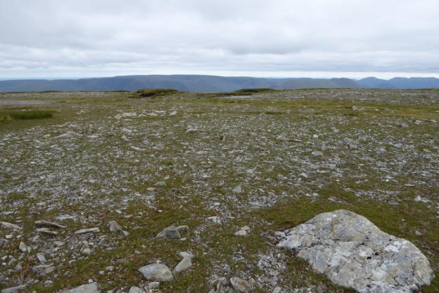
(1) Walk N up the road for about 200 m until past the trees. Start up here and gradually slant back, above the trees, heading towards the S ridge of Barrclashcame. Once on the ridge, follow it up. It is steep but the ground is generally good. There are a few rock bands but these do not pose any problems. Eventually, the angle eases so walk across the plateau fro almost 1 km to reach a small cairn which is the summit of Barrclashcame, 772 m.
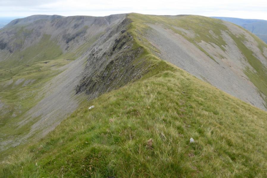
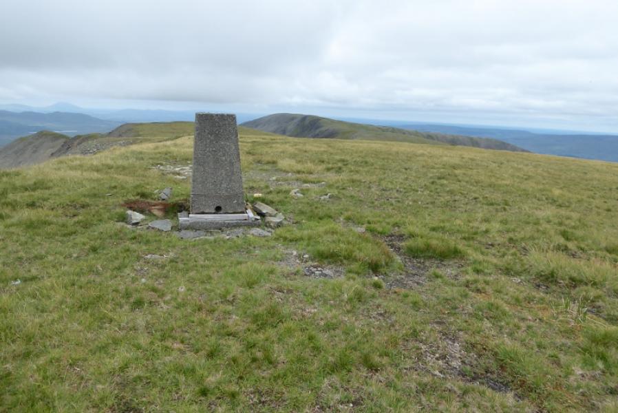
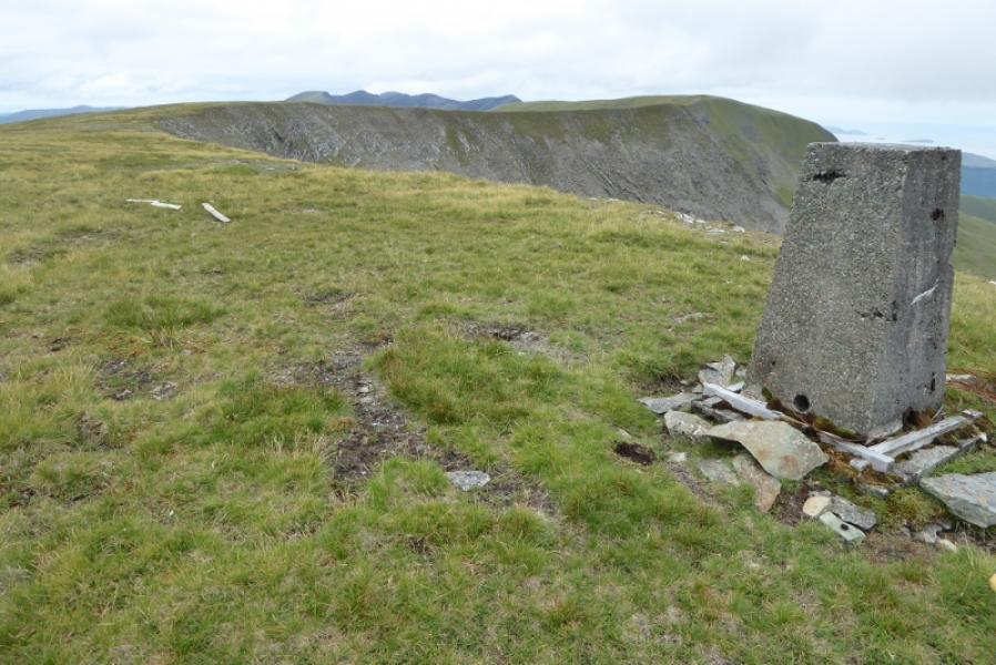
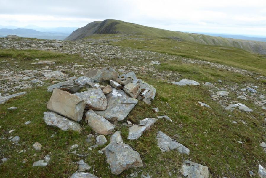
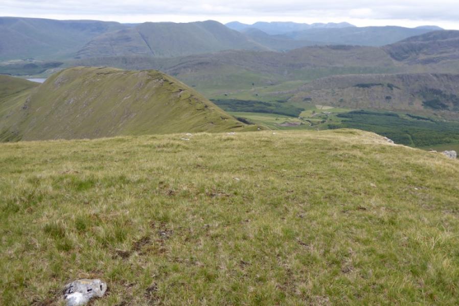
(2) Descend roughly E and soon cross a grassy arete (narrow ridge). Once across, follow the twisting ridge to reach the old trig point which is the summit of Tievummera, 762 m.
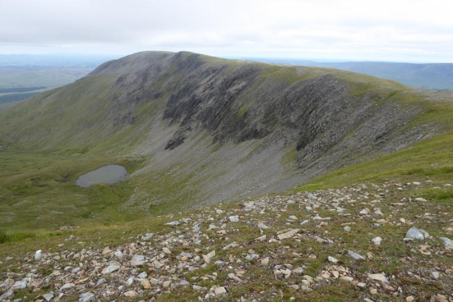
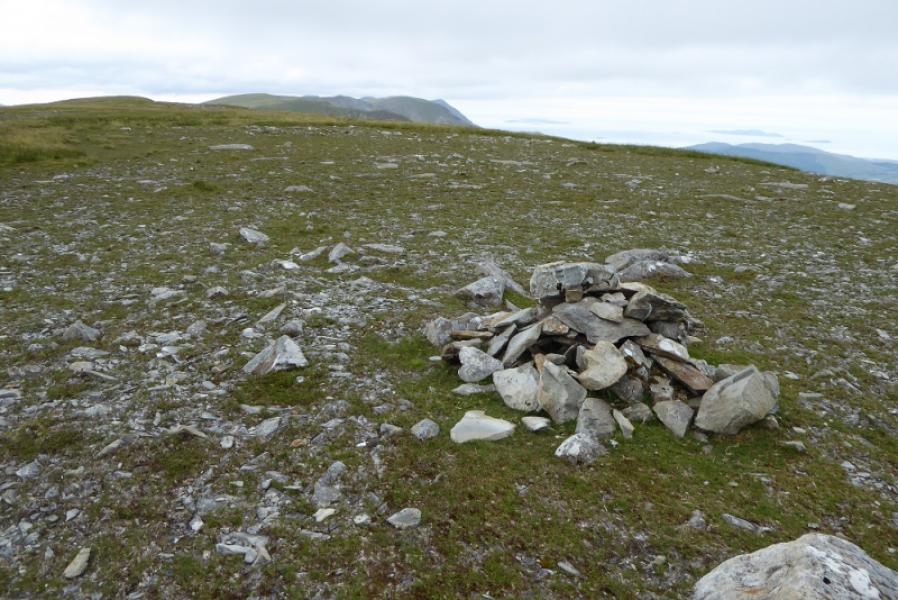
(3) Continue along the crest for nearly 3 km, crossing a minor top with a small cairn, to reach a second small cairn which is the summit of Tieveebinnia, 742 m.
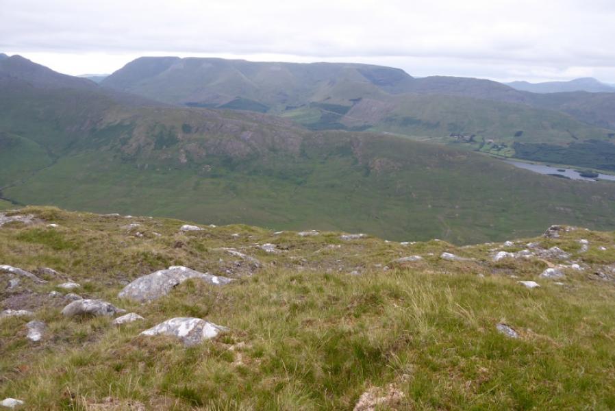
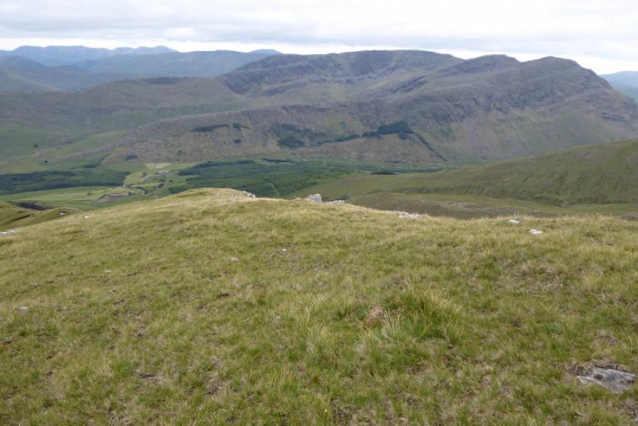
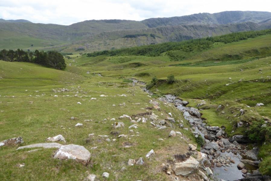
(4) One possible return is to retrace the ascent route. Another is to descend the SSE ridge of Tieveebinnia. This is easy to begin with then becomes a little steeper and more defined. Reach a dip but don't leave the ridge here as the descent gets very steep with loose rock. Continue, ascending a little, until the ridge turns more to the E. Now start looking for a way off to the right, aiming for the patch of natural woodland. It is steep but is mainly open grassy slopes. Reach the glen and follow the river down to a track which leads down through a farm to the minor road. Turn right and follow the road for about 4 km back to Doo Lough.
Notes
(a) This walk took place on 13th July, 2018.
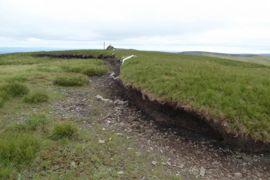
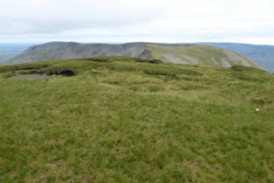
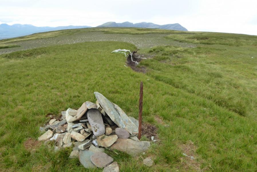
Photos - Hover over photo for caption. Click on to enlarge. Click on again to reduce.