Get Lost Mountaineering
You are here: Ireland » West » Killarly Harbour to Westport
Mauntrasna & Devilsmother from Glennacally Bridge
Mauntrasna & Devilsmother from Glennacally Bridge
Start/Finish
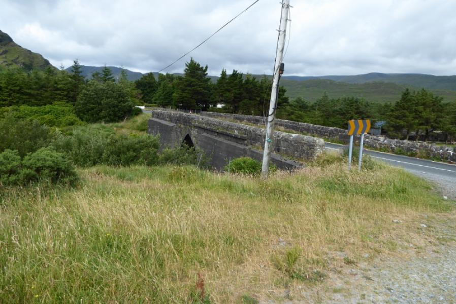
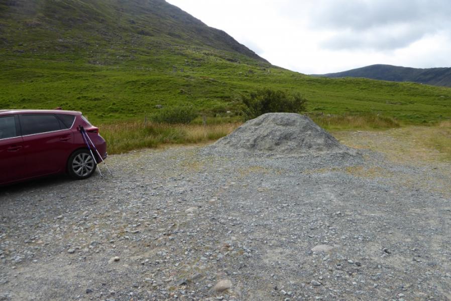
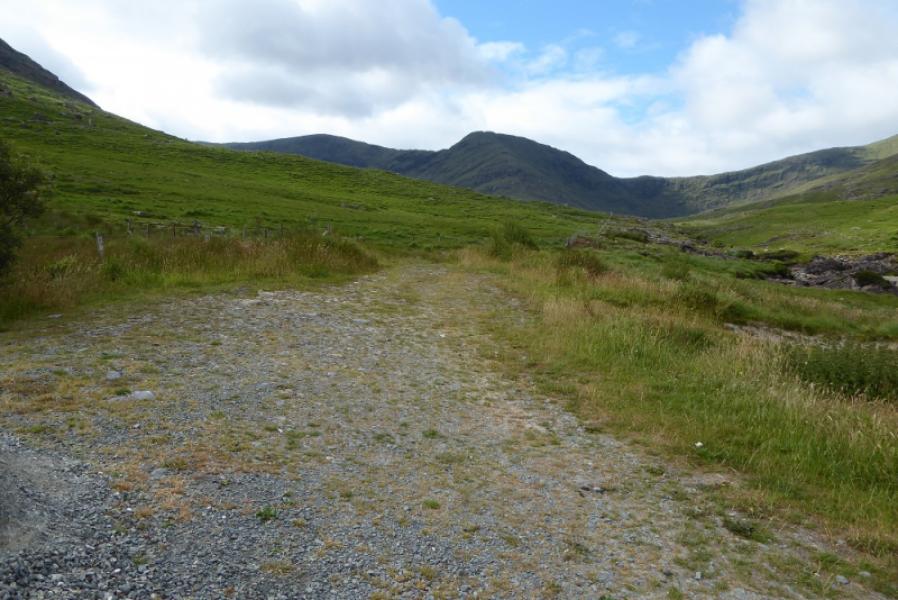
Rough parking area by Glennacally Bridge which is on the N59 north of Leenane. It is about 2.5 miles/4 km north of the turning for Louisburgh.
Distance/Time
13 km. About 6 – 7 hours.
Peaks
Maumtrasna, 682 m, L 961 636.
Devilsmother, 645 m, L 915 624. (Irish National Grid System)
Irish OS Discovery Series Maps 37 & 38 (1:50000)
Adventure series: South Mayo
Introduction
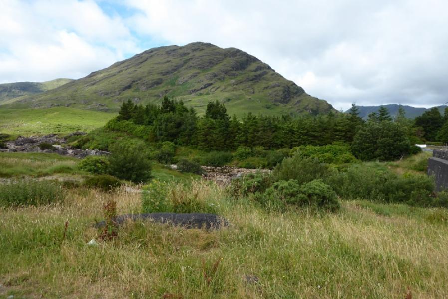
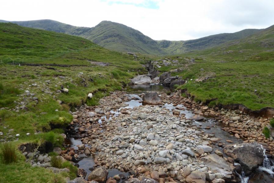
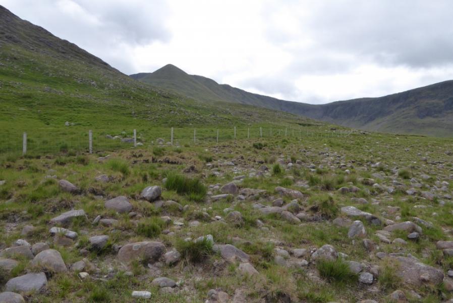
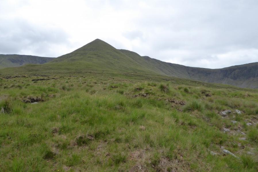
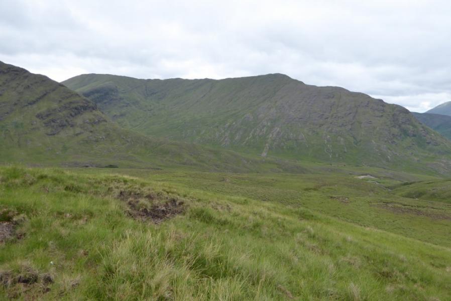
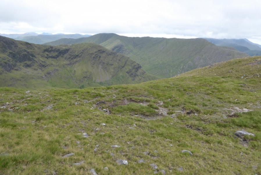
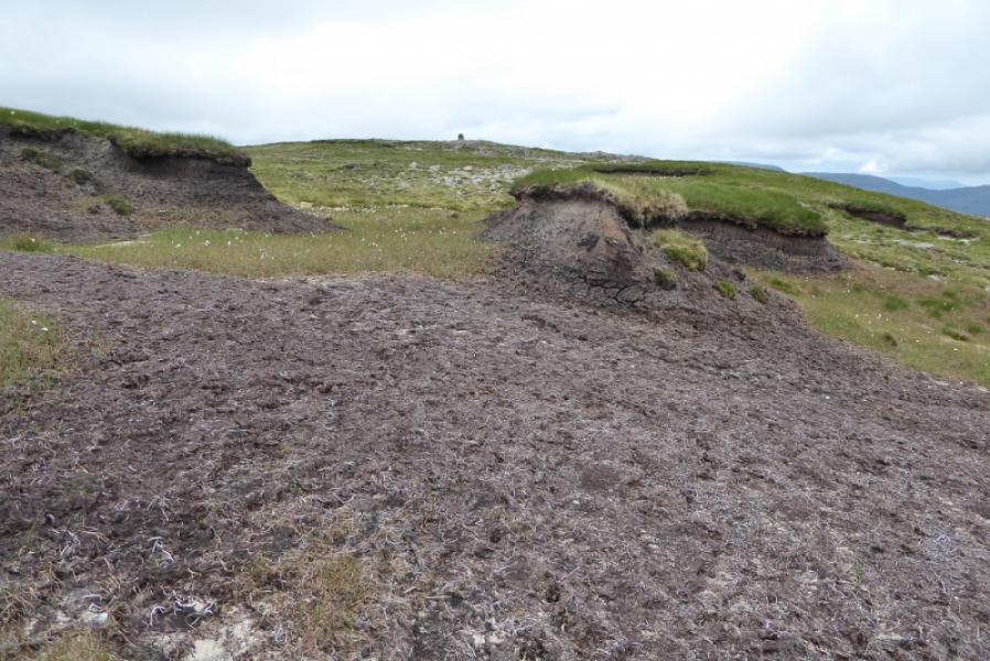
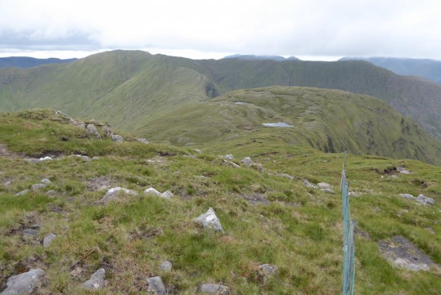
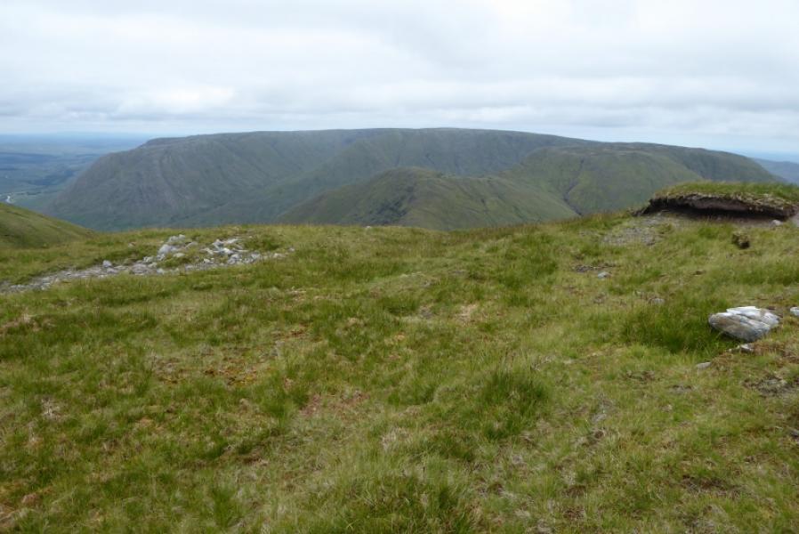
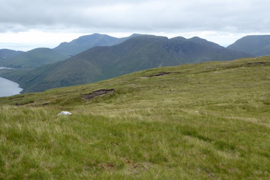
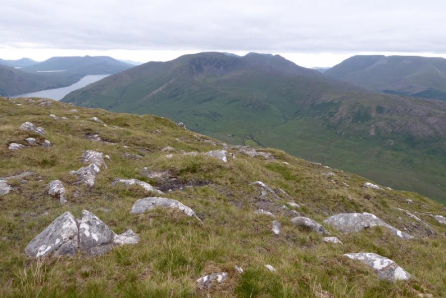
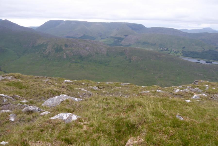
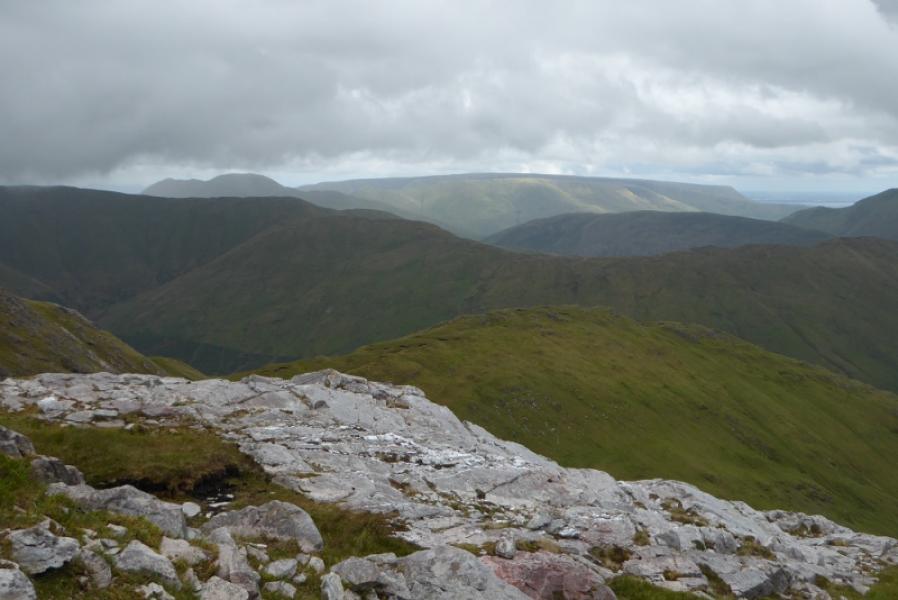
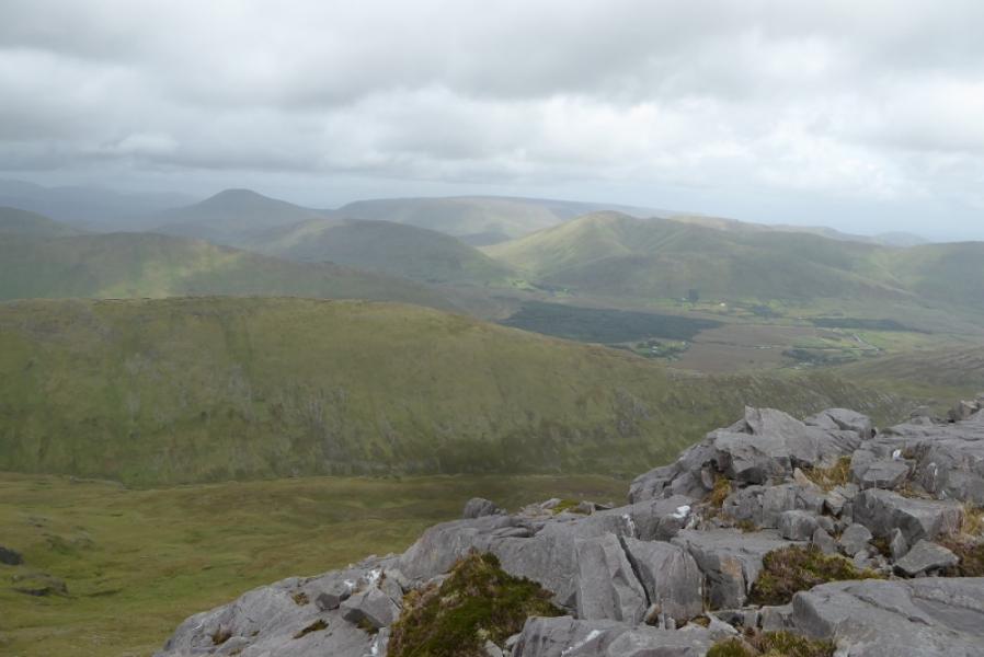
This is another tough walk in this area with a steep ascent and a worse descent at the end of the day. There is little in the way of paths. Under normal conditions, this would be a very boggy walk but can be less unpleasant in a dry spell. The rivers have to be crossed and these could be very difficult, if not impossible, after rain. Between Mauntrasna and Devilsmother is a lot of up and down including a deep and steep gap. On a clear day, there are good views to Ben Gorm and the Sheefry Hills.
Route
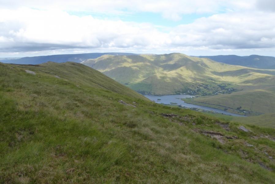
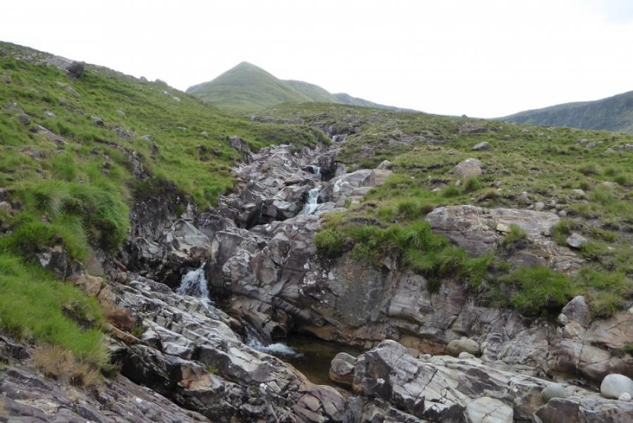
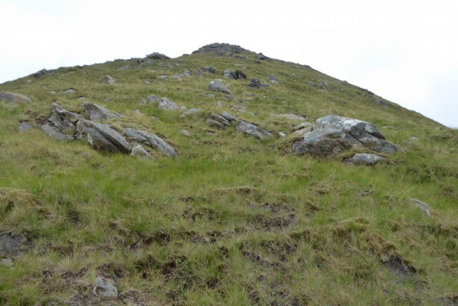
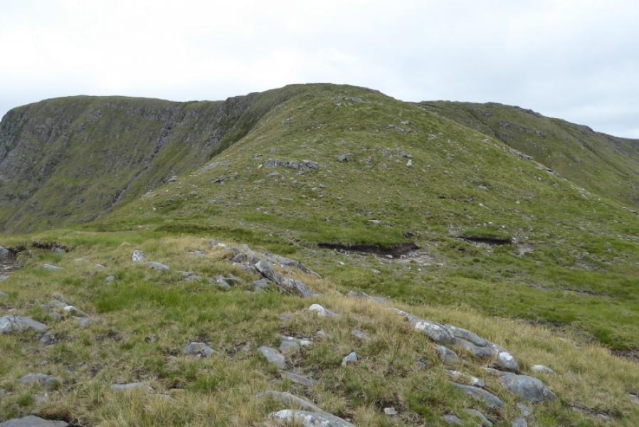
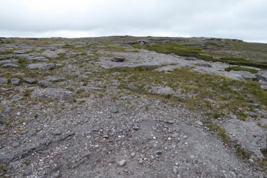
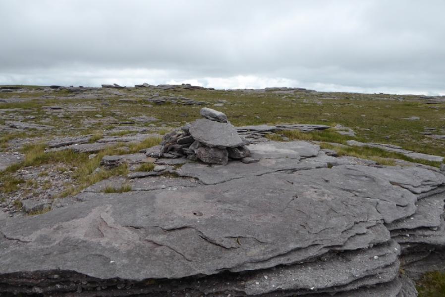
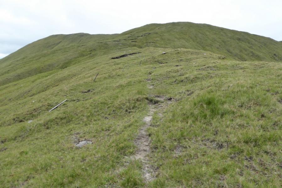
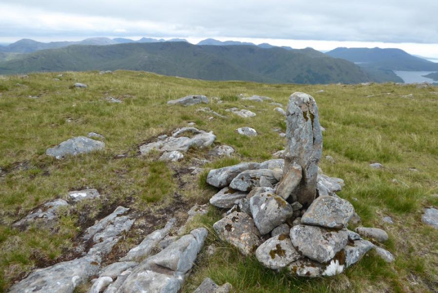
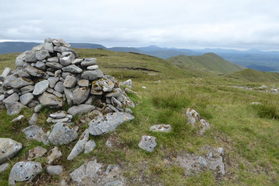
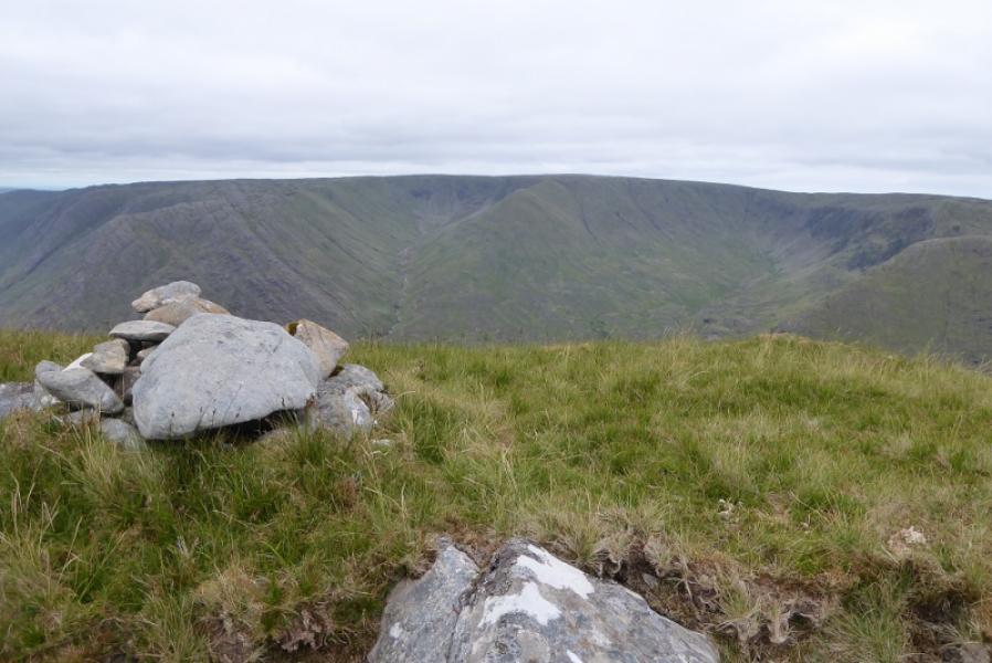
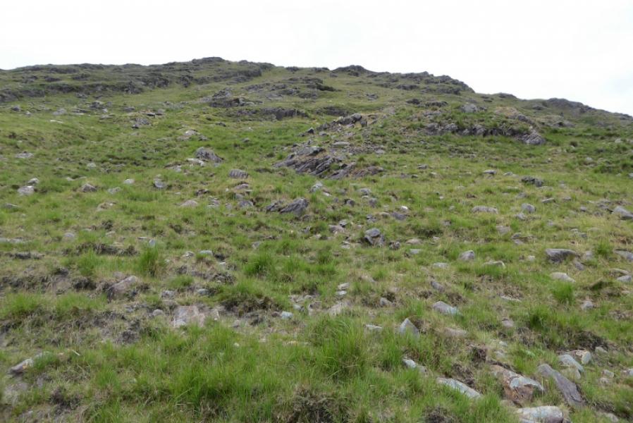
(1) From the car park, walk up the side of the river and follow it when it turns E. Soon after, look to cross over – not easy even in a dry spell – then follow the ground up to the obvious nose. This is mainly grass and steepens with height but poses few difficulties. Reach easier ground and continue ahead. The highest point is ESE from the top of the nose but the ground is very featureless and almost anywhere could be the highest point but there is a medium cairn, on a level outcrop which seems to be the summit of Maumtrasna, 682 m.
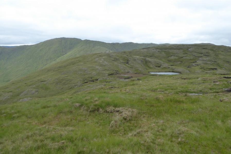
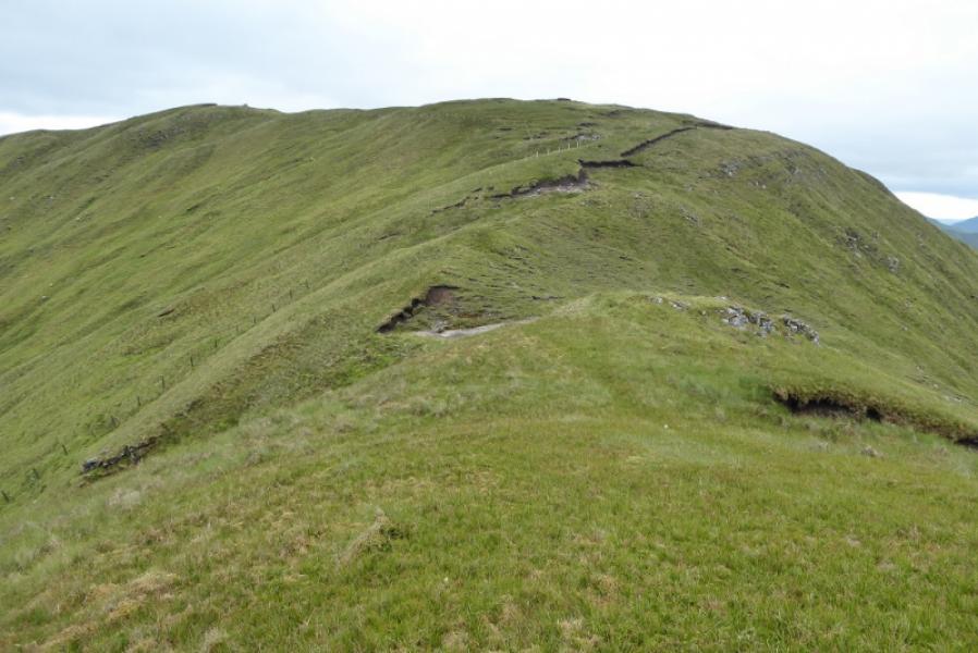
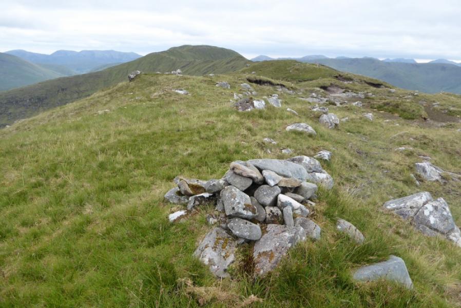
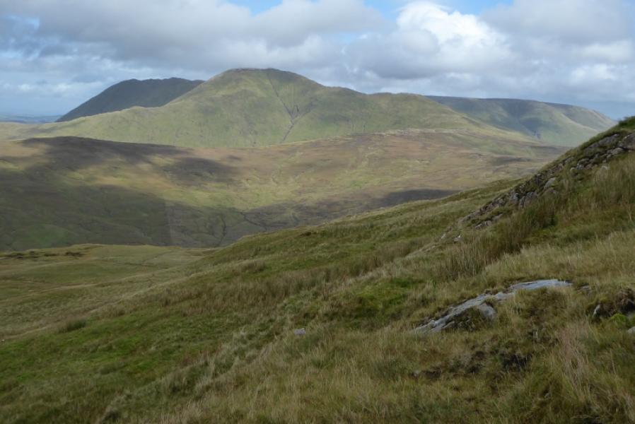
(2) From the “summit”, head roughly SSW then curve around more to the W for Pt 617. Continue WNW over Pt 596 then on to Knocklaur which can be bypassed on its S side if wished. The ground then drops steeply, by a fence,, down 150 m, to a col. Follow the fence up the other side to join the N ridge of Devilsmother. Leave the fence and ascend SW to a small finger cairn then, about 100 m further, to the medium summit cairn which is the summit ofDevilsmother, 645 m.
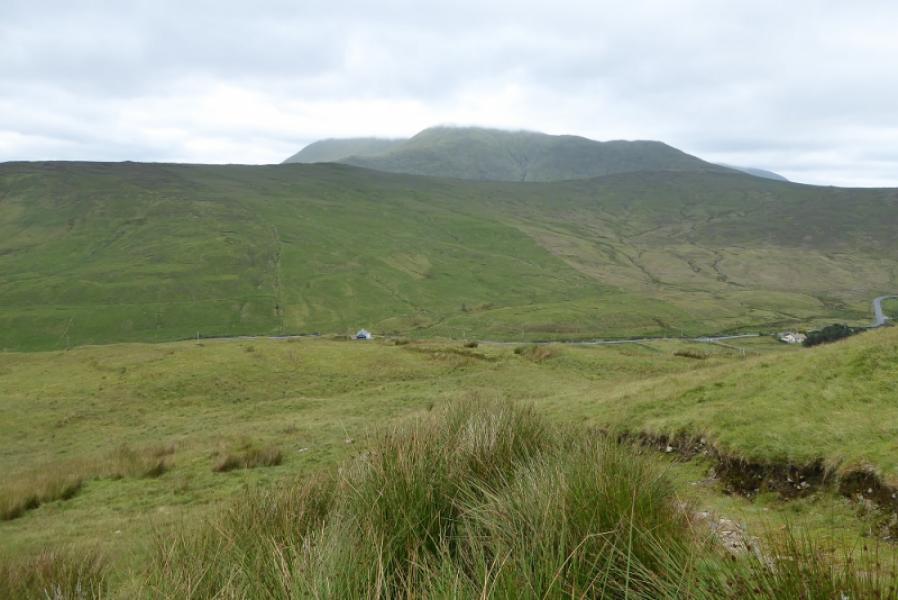
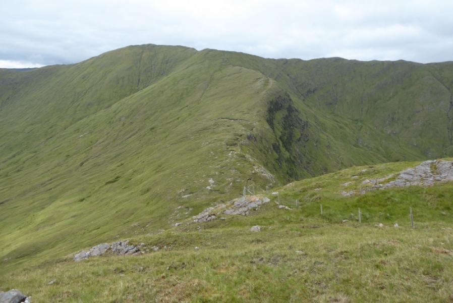
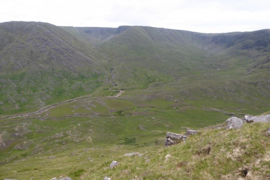
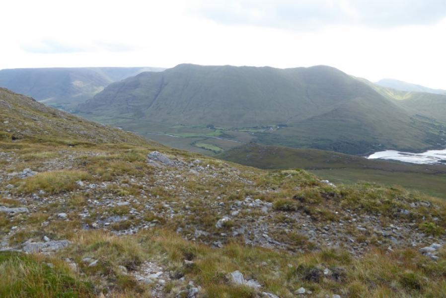
(3) Retrace then follow the N ridge over many minor tops to Devilsmother Far North Top at the end of the ridge. From here, carefully pick a way down the nose of the ridge. Lower down it steepens considerably and it may be easier to keep to the right then drop off the ridge down steep grassy slopes to reach the floor of the glen where both rivers have to be crossed to join the outward route. To avoid these river crossings, drift left, W, lower down to locate a track which leads to the road about 400 m W of the car park.
Notes
(a) This walk took place on 12th July, 2018.
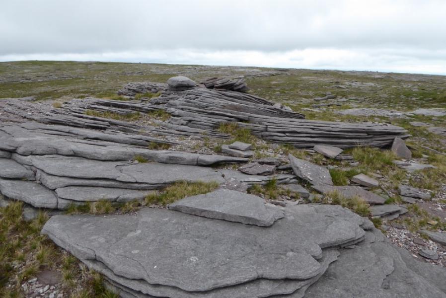
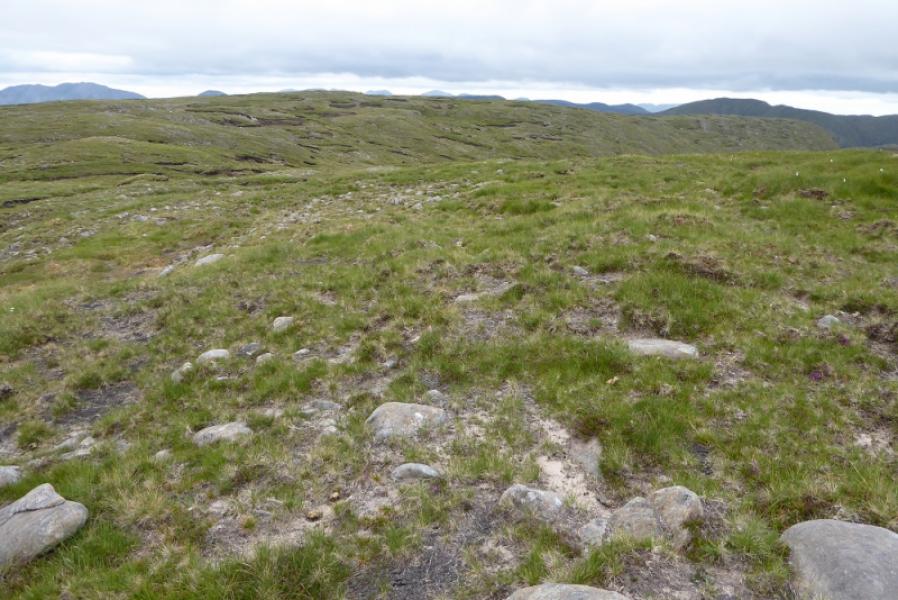
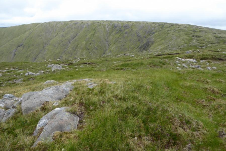
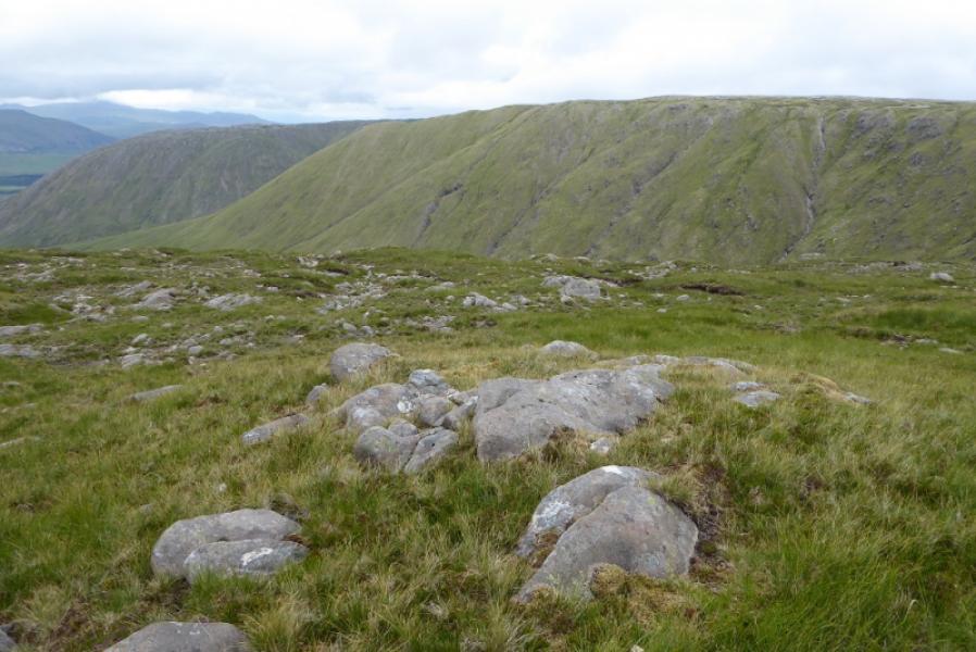
Photos - Hover over photo for caption. Click on to enlarge. Click on again to reduce.