Get Lost Mountaineering
You are here: Ireland » West » Connemara
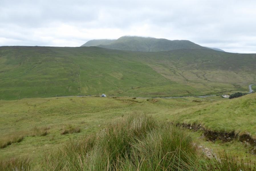
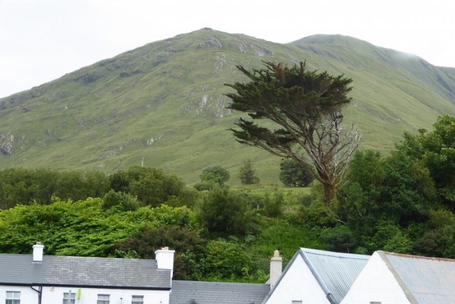
Leenane Hill from Leenane
Leenane Hill from Leenane
Start/Finish
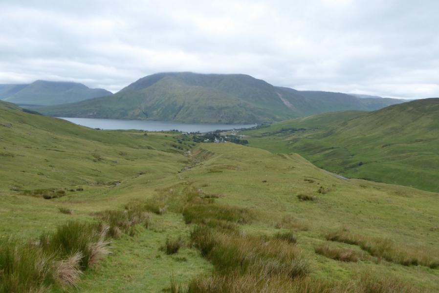
Any of the free car parks in Leenane village which sits on the side of Killary Harbour – climbed to be Ireland's only fjord. Leenane is on the N59 between Clifden and Westport
Distance/Time
8 km. About 4 – 5 hours.
Peaks
Leenane Hill, 618 m, L 874 593. (Irish National Grid System)
Irish OS Discovery Series Map 37 (1:50000)
Introduction
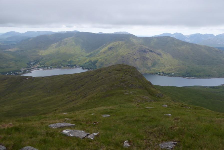
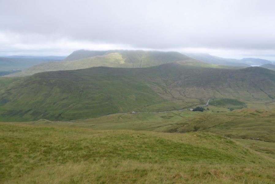
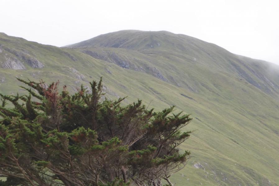
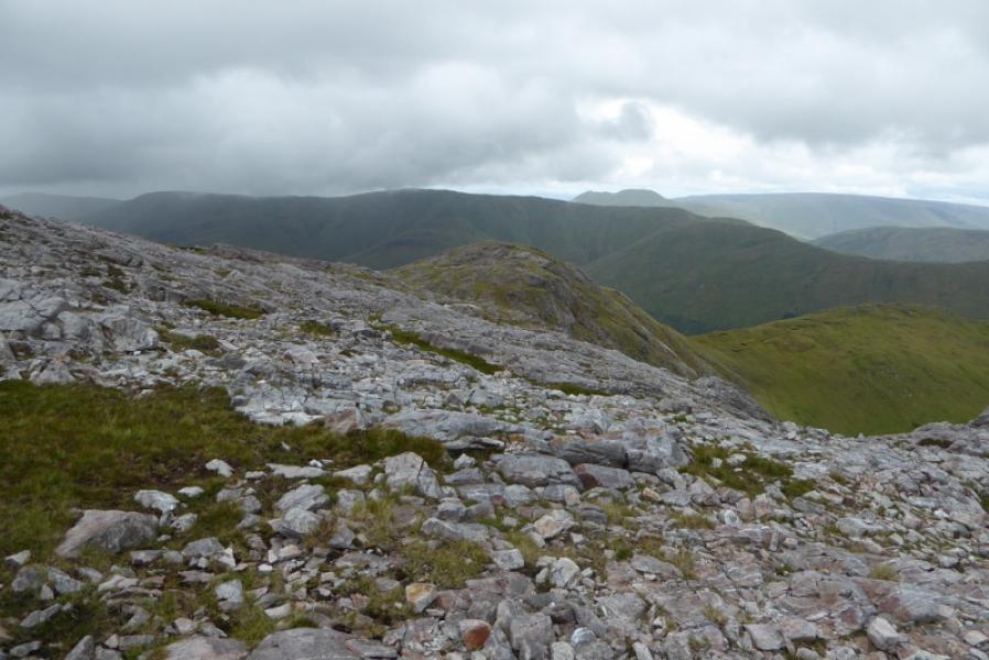
Leenane Hill towers above the small coastal village of Leenane. The described route gives a relatively easy ascent as many well climb this hill when the weather is too bad for its more famous neighbours. It is an excellent viewpoint for Mweelrea, Ben Lugmore, Ben Gorm, the Maumturks and the strangely named Devilsmother! Note that Leenane is also spelt Leenaun!
Route
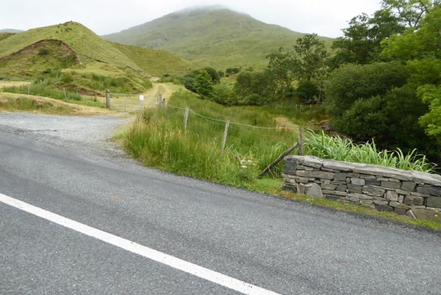
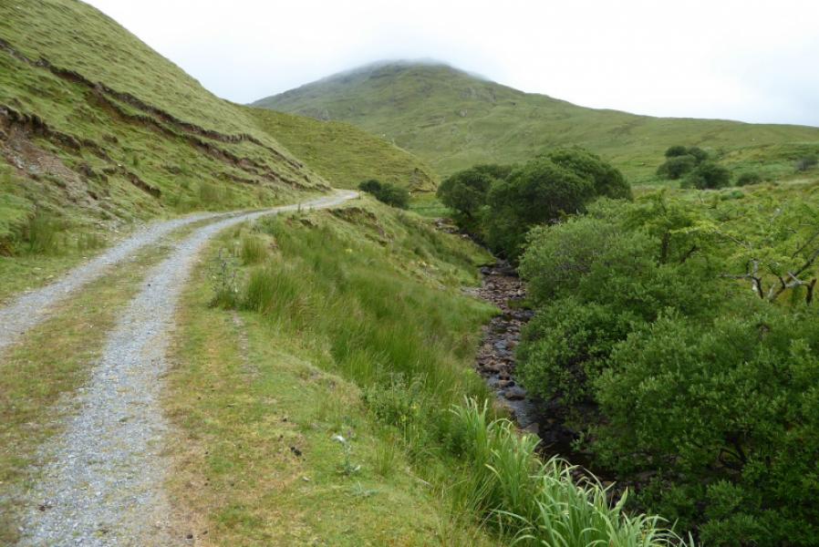
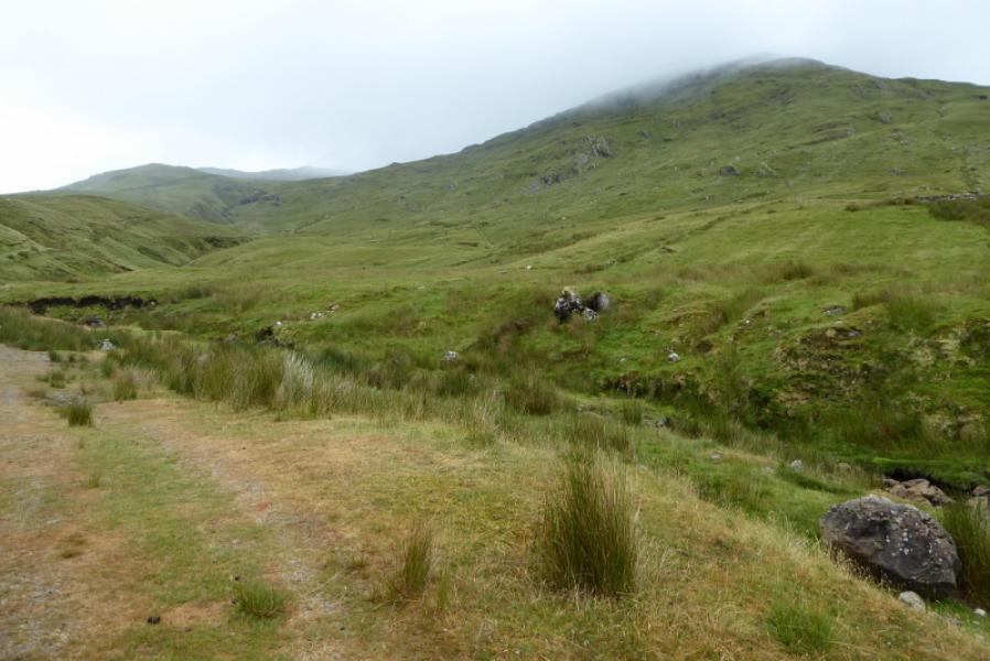
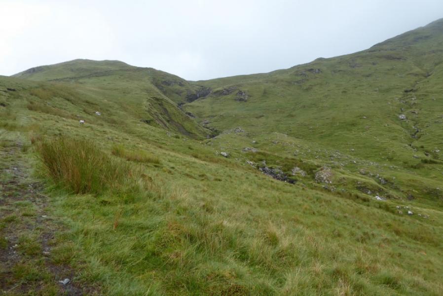
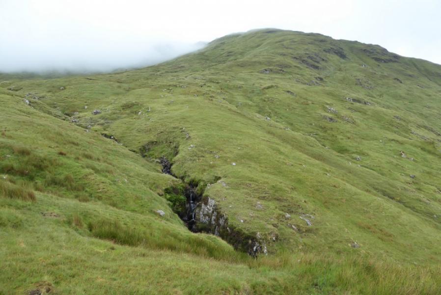
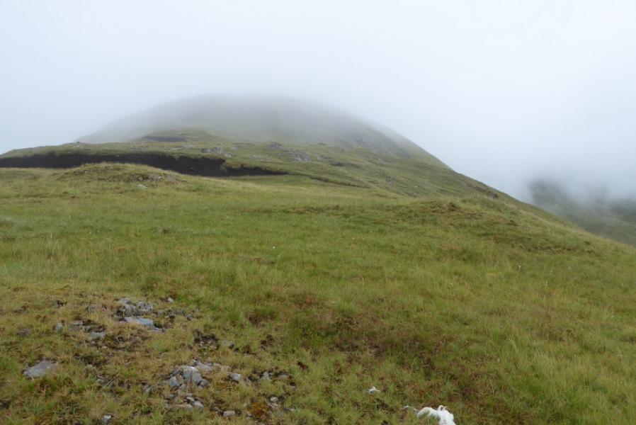
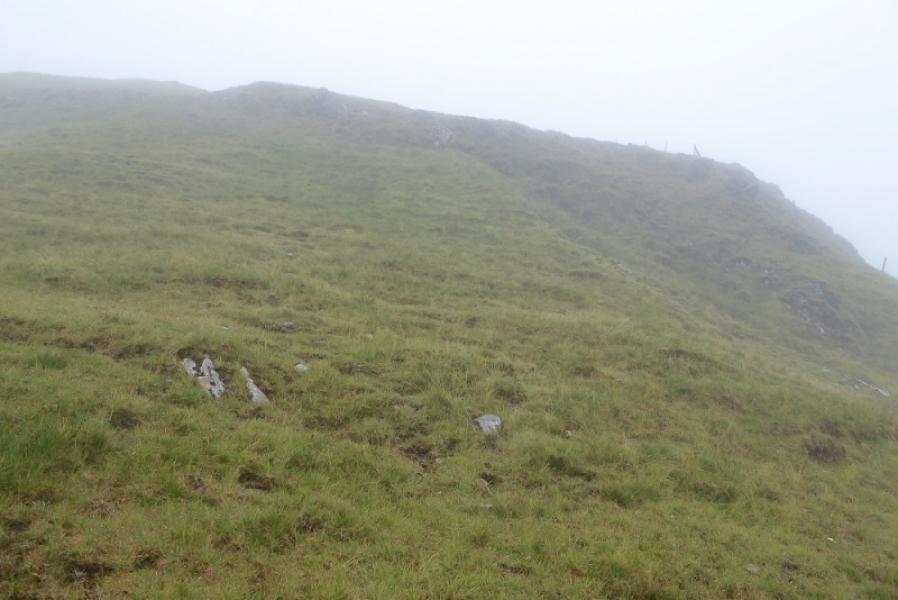
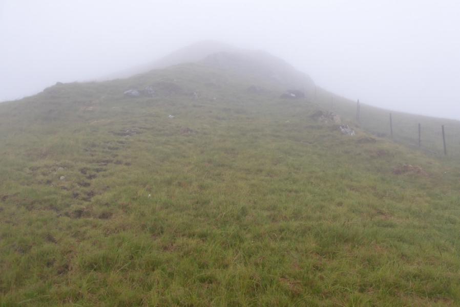
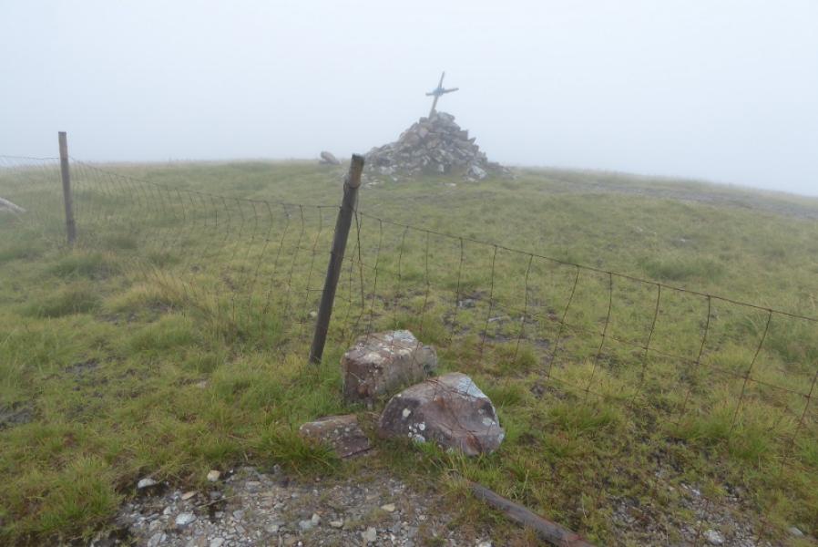
(1) From Leenane village, walk up the road heading for Maum Cross. Walk past the houses, then the speed limit sign. Cross the road bridge over the river then immediately take the track on the right (Dogs not allowed). Follow the track. Further on it becomes grassy then just a rough path before joining a stony track (turns right). This takes one above and past the main waterfall. Continue until this track/path ends in some peat then continue up until the stream can easily be crossed – it is in a small gorge in places. Once across, pick a way W, up easy grassy slopes, to gain the N ridge of Leenane Hill. Follow the N ridge up. A fence joins higher up and leads to the summit. Higher up still, the ridge steepens before the gradient eases. The fence passes within 5 m of the summit but the fence has to be stepped over first. A large cairn (with a wooden cross on top on 11/7/18) marks the summit of Leenane Hill, 618 m.
(2) Retrace the outward route.
Notes
(a) This walk took place on 11th July, 2018.
(b) If the weather is good and a longer walk is wished for then one could stay on the ridge where the path peters out (don't cross the stream) then continue up that ridge to reach the crest which can be followed W then N to the summit. From there, one could walk around the corrie rim to Pt 556 then head WNW to Pt 550 before descending the ridge WNW to reach the Western Way which can be followed back to the N59 and Leenane. This would be about 14 km. None of this variation has been checked out!
Photos - Hover over photo for caption. Click on to enlarge. Click on again to reduce.