Get Lost Mountaineering
You are here: Ireland » West » Connemara
Derryclare, Bencorr, Bencollaghduff, Benbreen & Bengower from S
Derryclare, Bencorr, Bencollaghduff, Benbreen & Bengower from S
Start/Finish
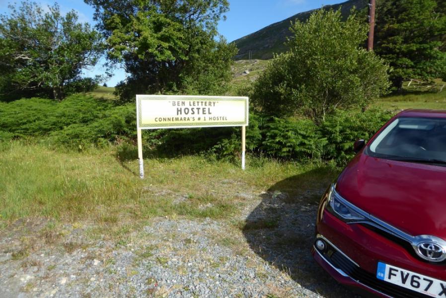
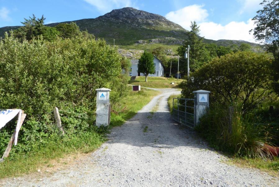
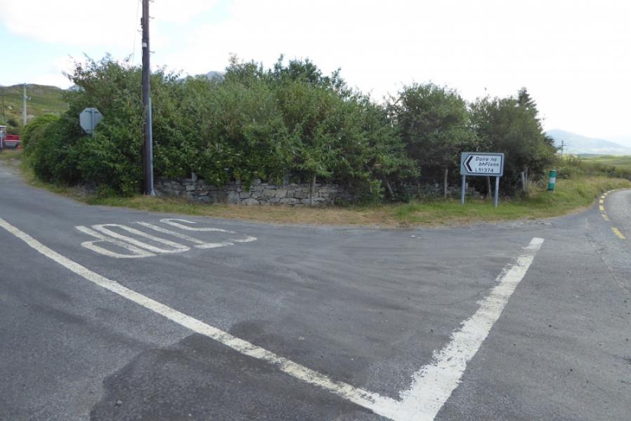
Benlettery Youth Hostel where it is possible to park outside the entrance if you are not staying there. This is about 13 km (8 miles) east of Clifden on the N59.
Distance/Time
16 km. About 9 – 10 hours.
Peaks
Derryclare, 674 m, L 814 510.
Bencorr, 711 m, L 811 522.
Bencollaghduff, 696 m, L 798 530.
Benbreen, 691 m, L 783 515.
Bengower, 664 m, L 783 506.
Benlettery, 577 m, L 776 495. (Irish National Grid System) Harveys Connemara map
Introduction
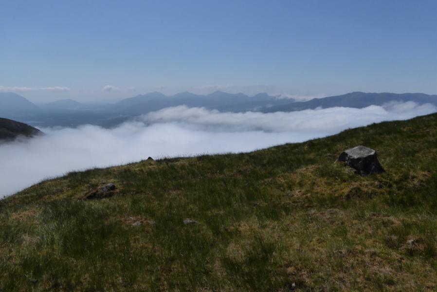
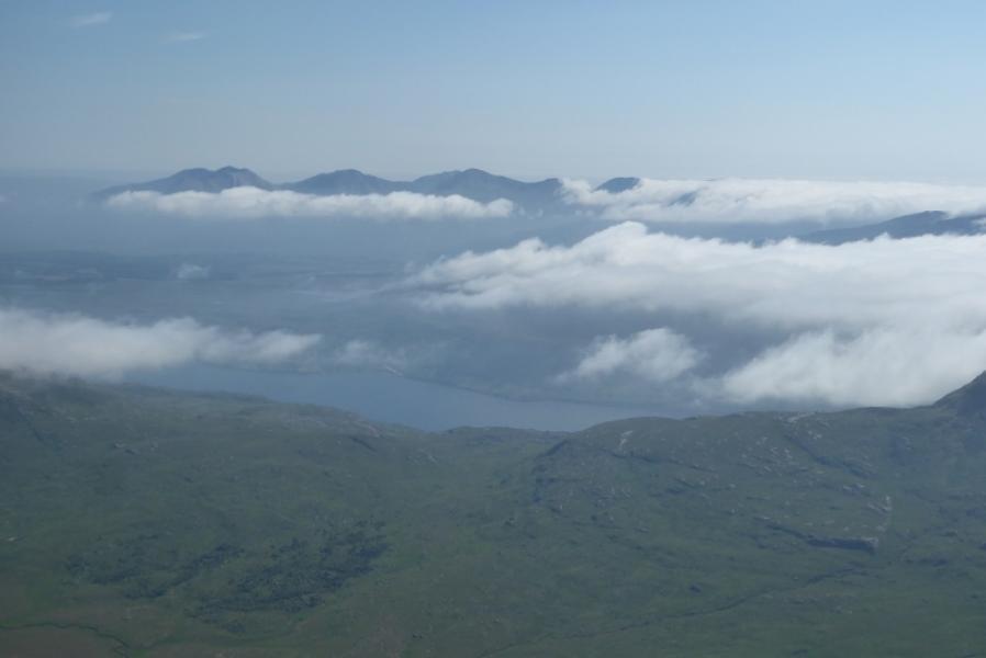
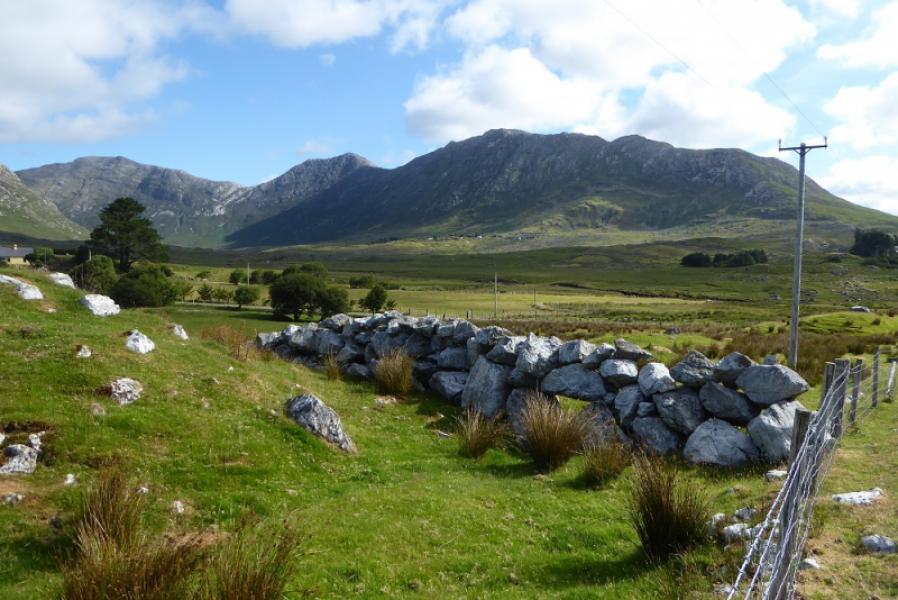
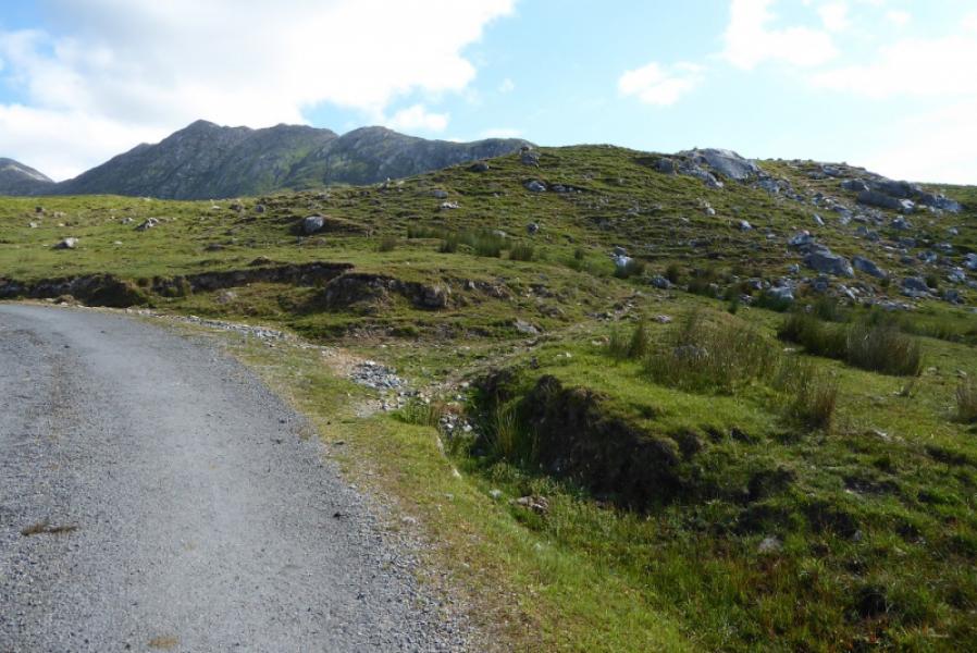
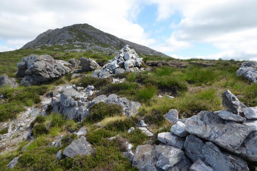
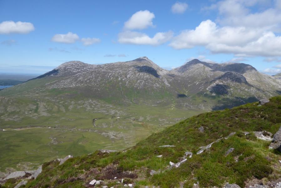
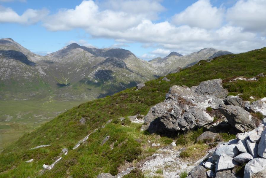
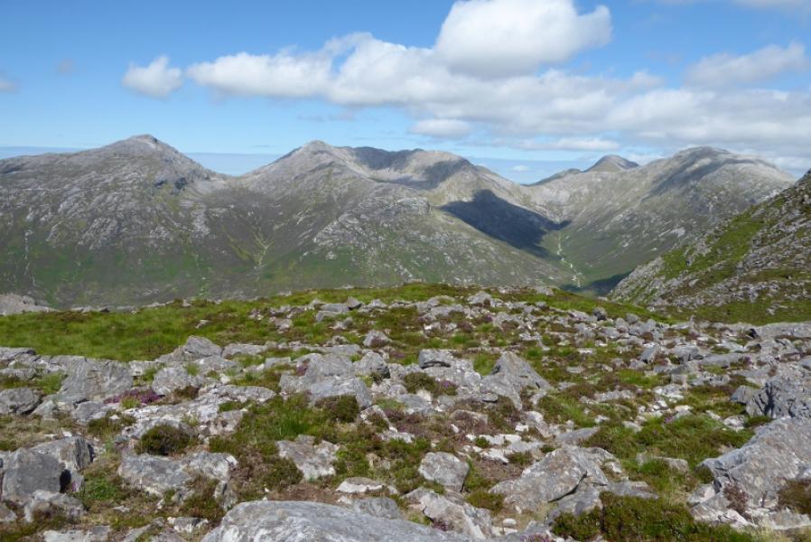
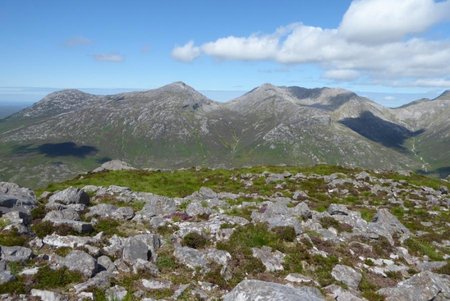
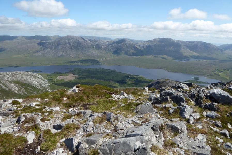
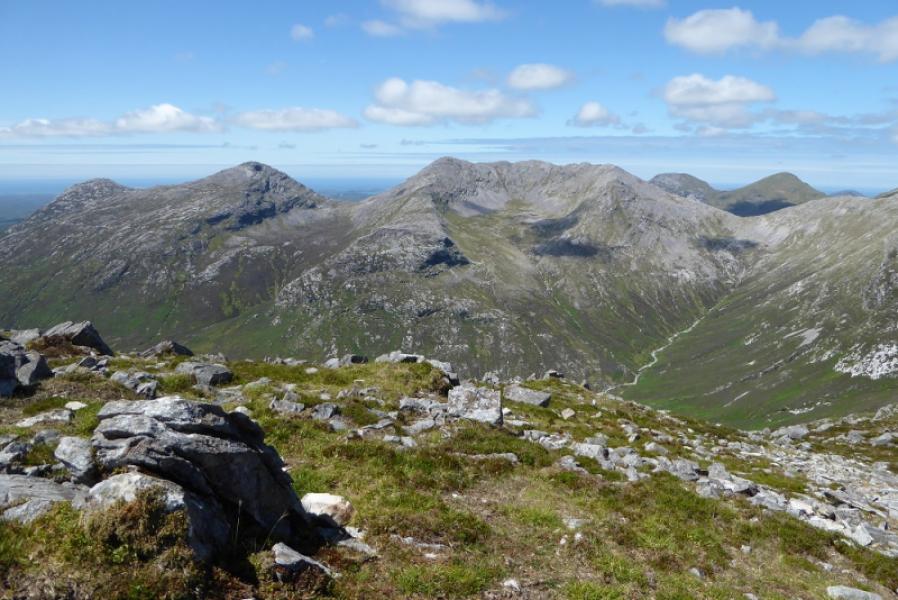
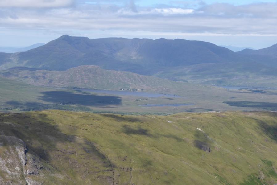
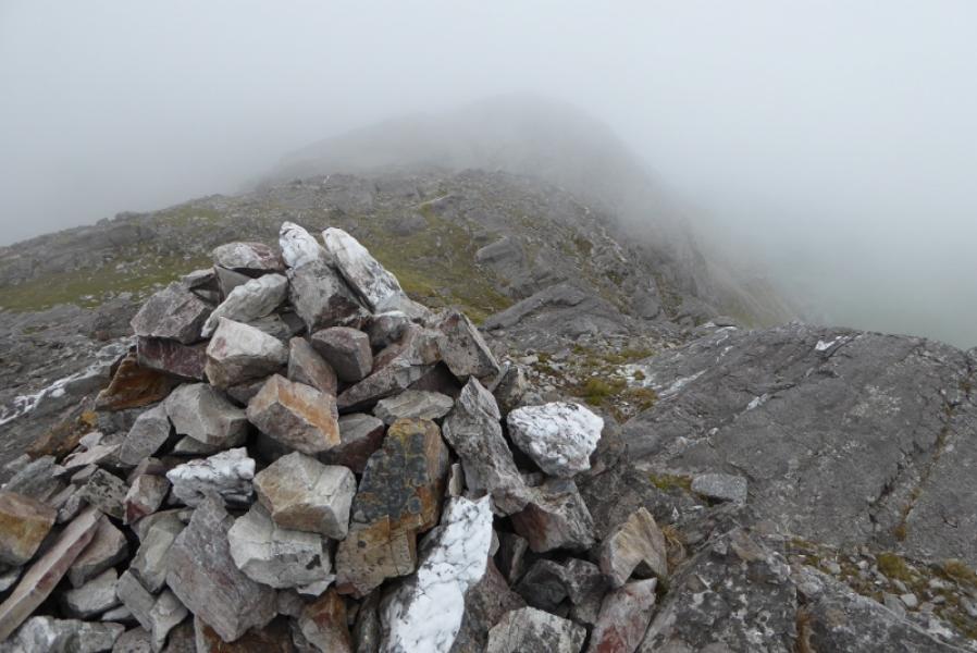
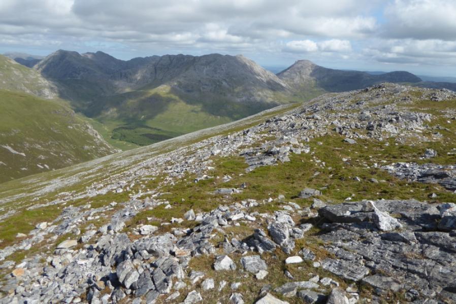
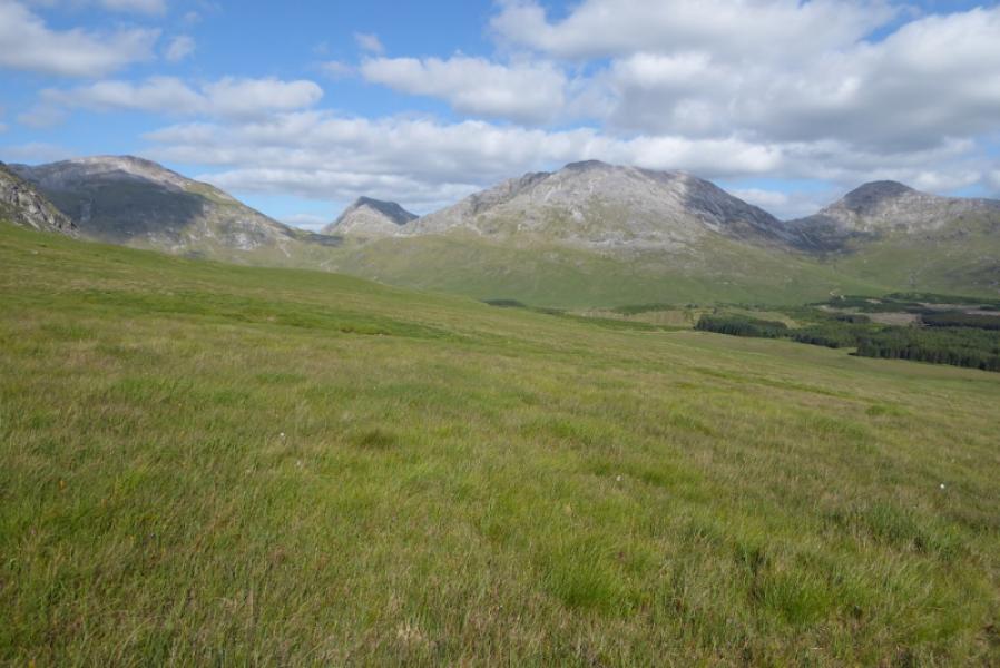
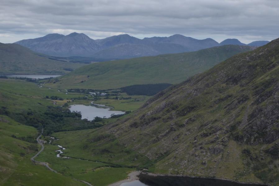
This is part of the famous 12 Bens of Connemara but it is one of the toughest walks in Ireland. Do not underestimate it. It is very rough underfoot – mainly quartzite scree and can be boggy in places. For those who can compare, this is at least as tough as the Ring of Steall although the hills are much lower but there are deep gaps between them and many minor tops to ascend as well. The views are superb and mainly of other parts of the horseshoe. There is over 3 km of road walking from the hostel to the start of the ascent up Derryclare so 2 cars or a bicycle would help. This route is most definitely not recommended in poor visibility. There seem to be cairns on every top which can be confusing in mist.
Route
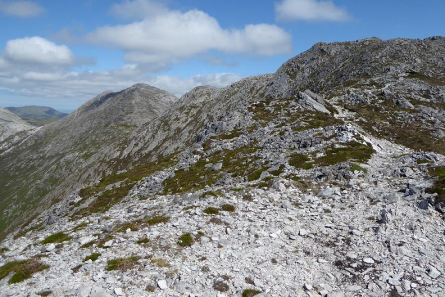
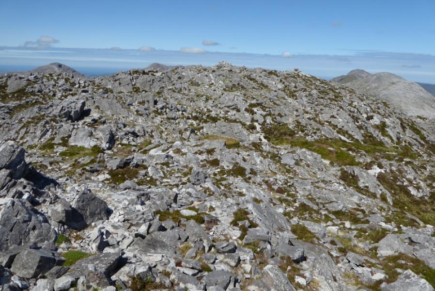
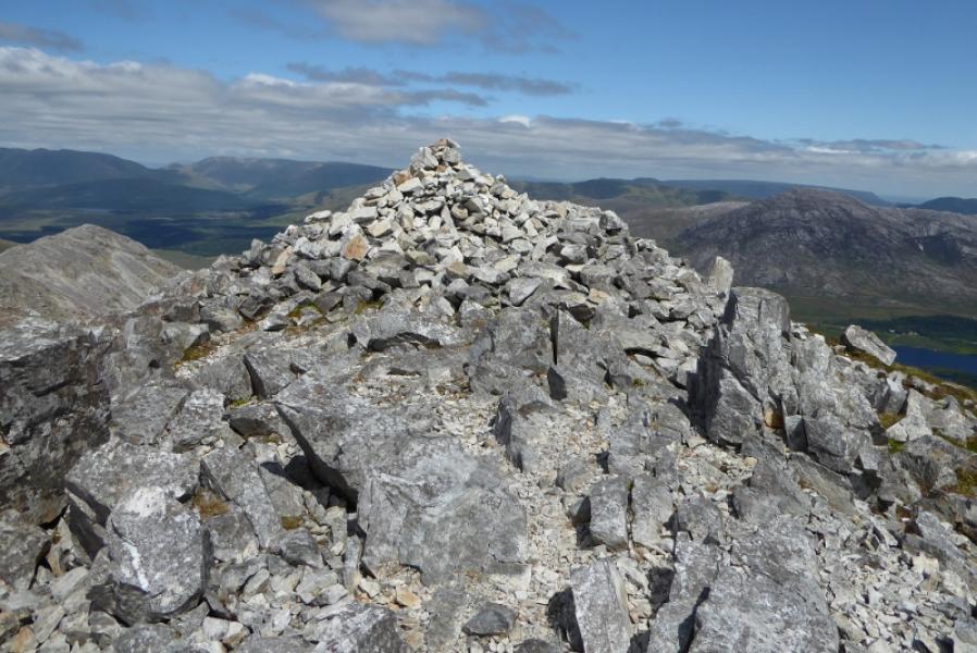
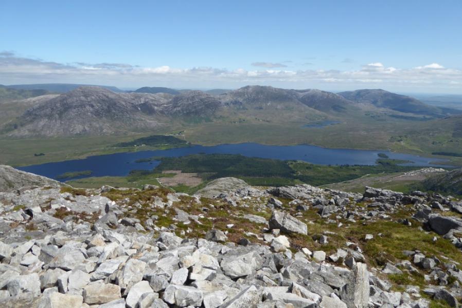
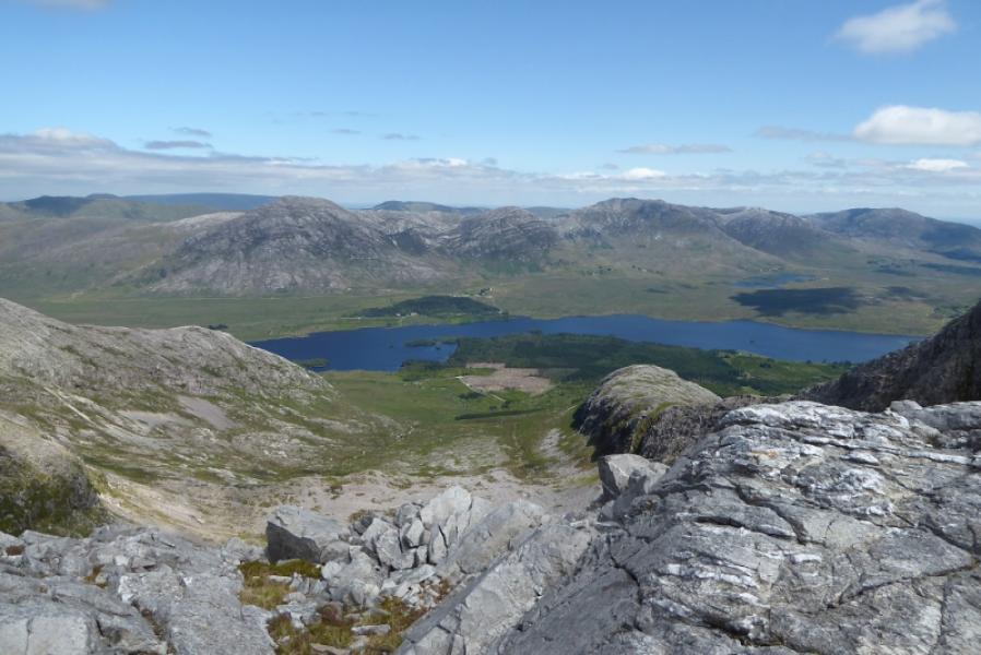
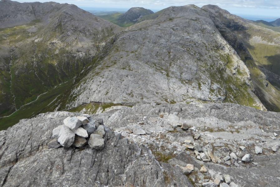
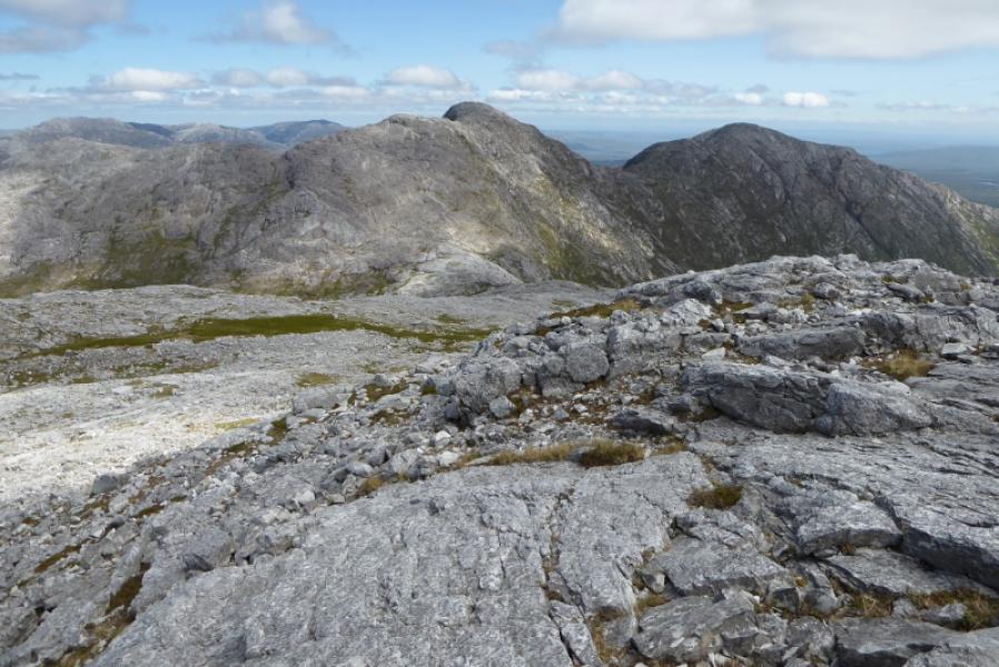
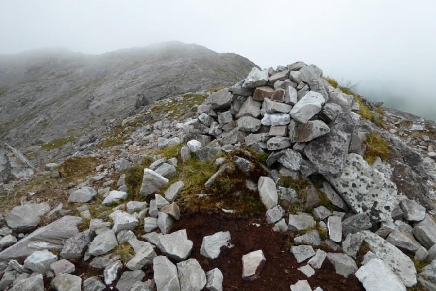
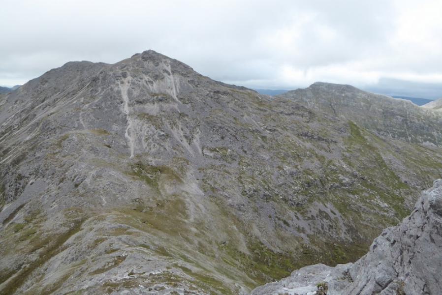
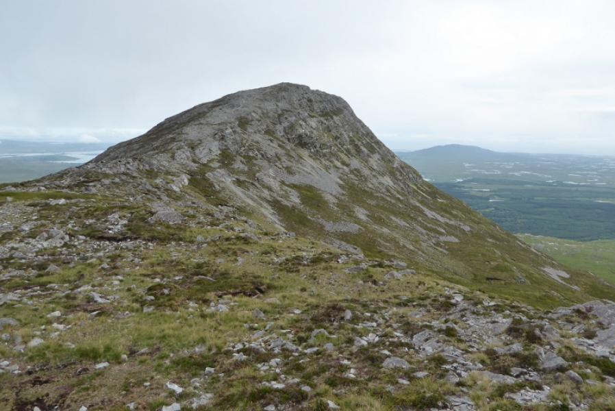
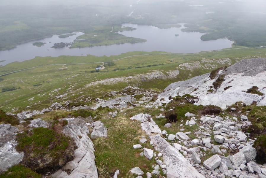
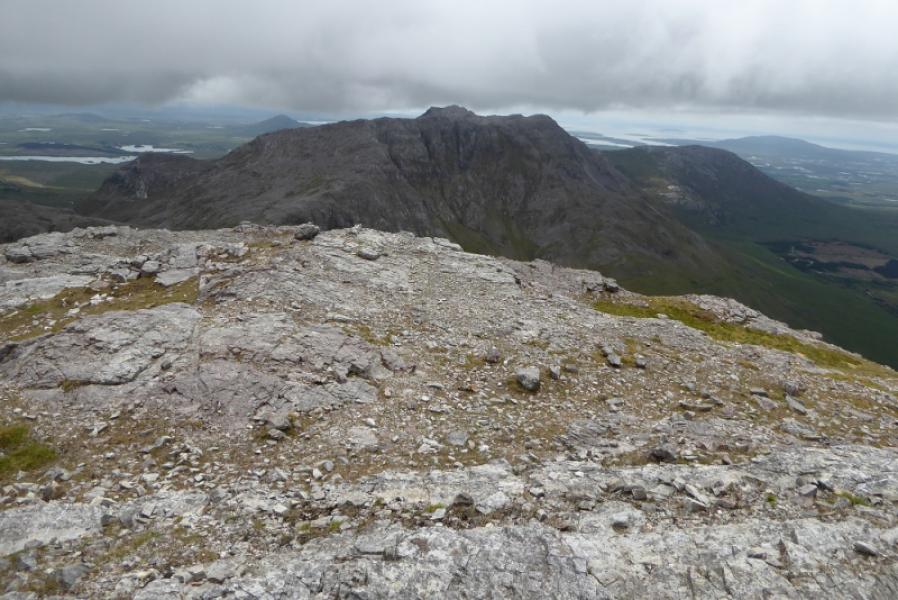
(1) Walk E from the hostel for about 1.5 km then take the minor road on the left. Follow this for nearly 2 km until the fence on the right runs out and it is possible to gain the lower S ridge of Derryclare. Once on the lower mainly grassy section, start picking a way up. There is a path but it isn't obvious and, generally, goes up the left of the crest. The crest is joined higher up at 2 cairns. Continue up on a path which seems to come and go. There are cairns on most shoulders and minor tops. Eventually the large summit cairn is reached just after a ridge joins from the right. This is Derryclare, 674 m.
(2) Continue N, descending over rough ground before ascending up to the large cairn which is the summit of Bencorr, 711 m.
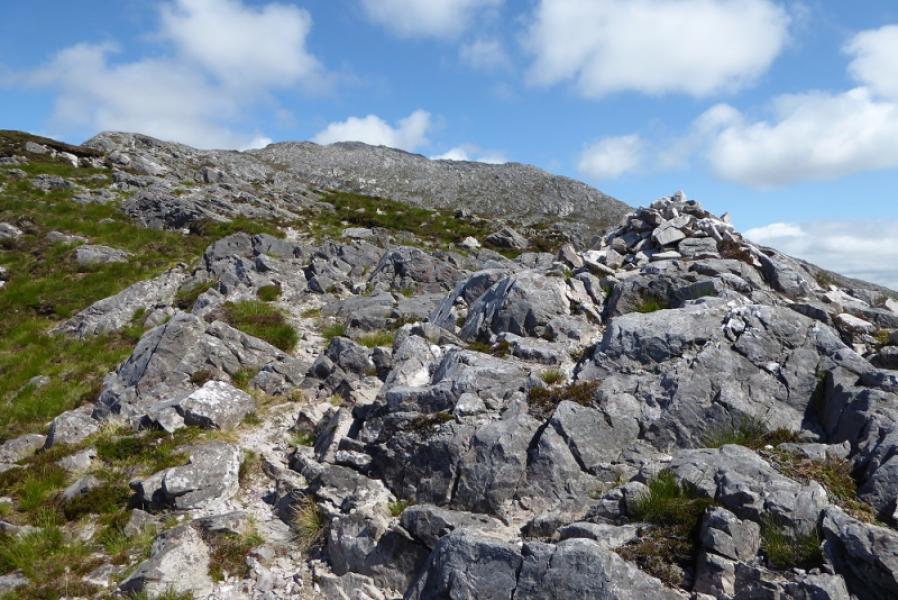
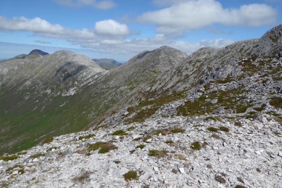
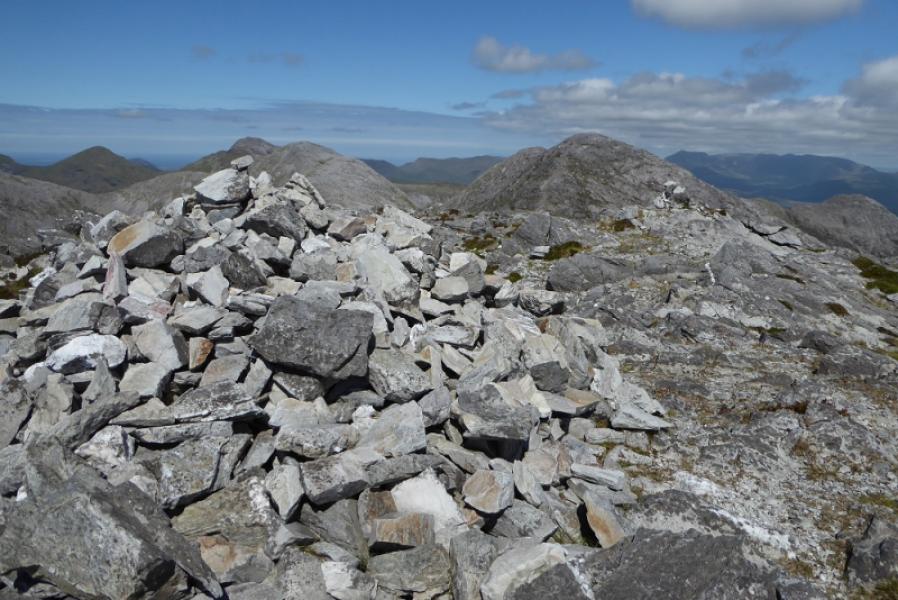
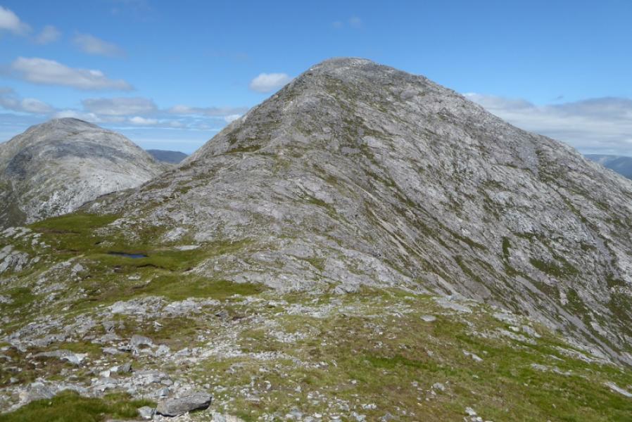
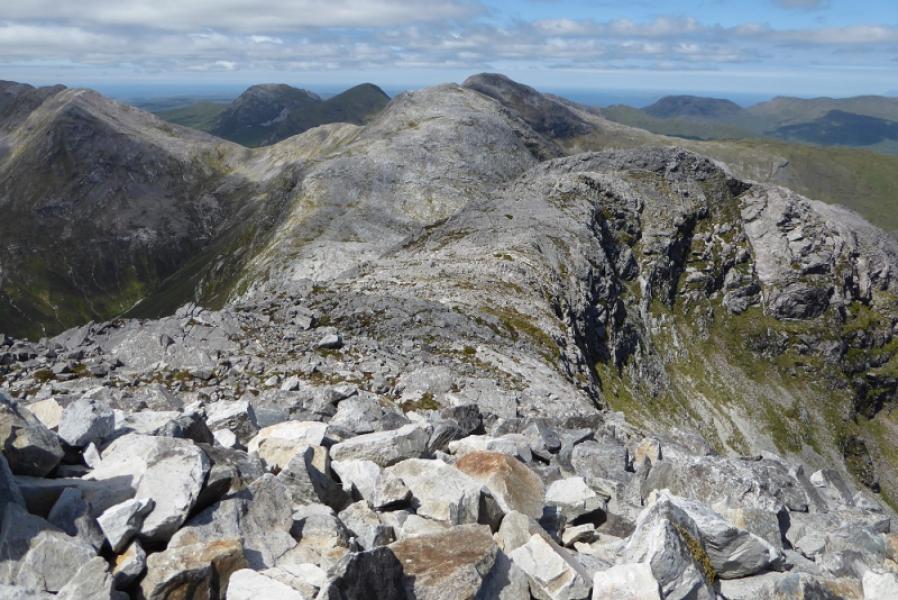
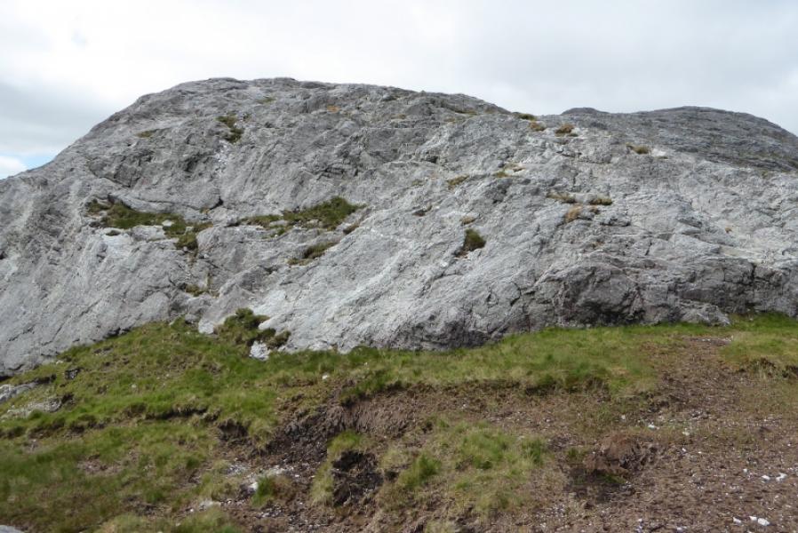
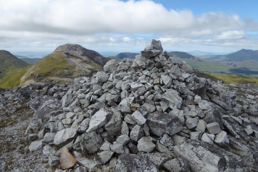
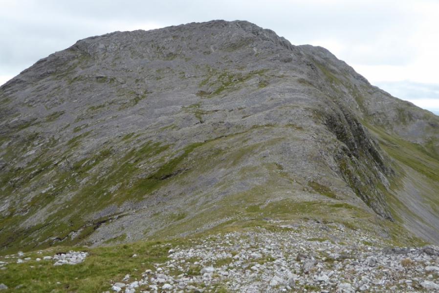
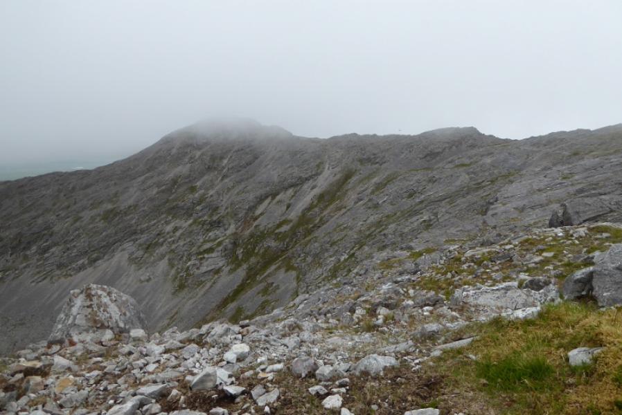
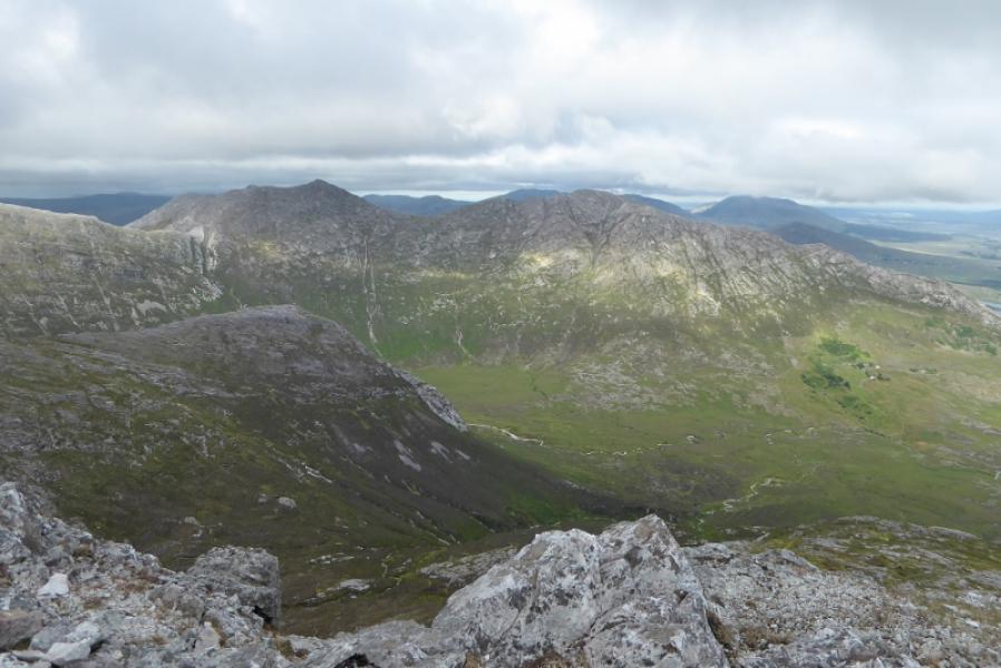
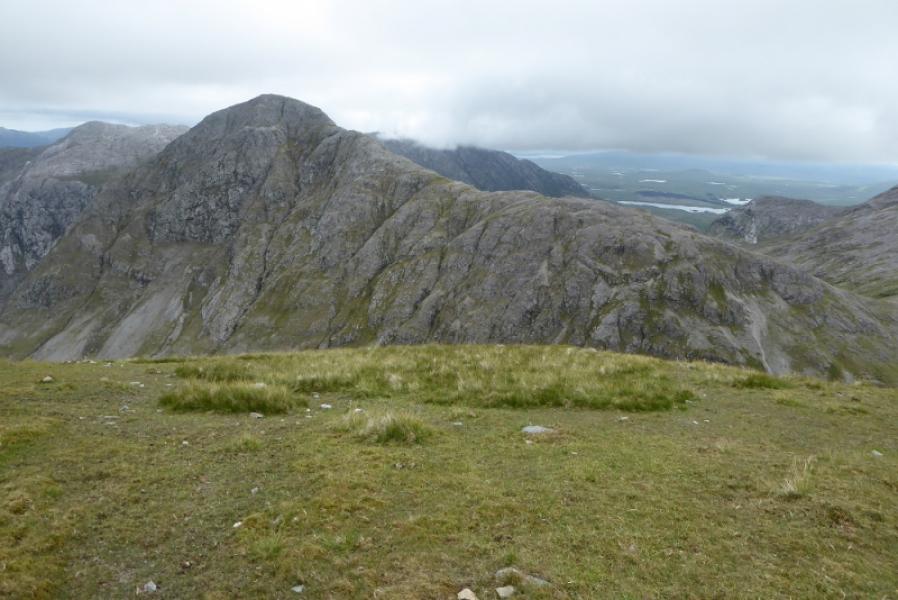
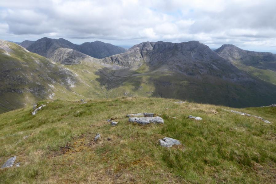
(3) The descent to the WNW col is very steep and involves much weaving around. A few cairns help but the route is not obvious even in good visibility. Reach the col where one is faced by a slab wall. In dry conditions, this is easy to pick a way up then one can ascend on easy angled slabs for some way then more of the same stony ground before the gradient eases and one can reach the large cairn which is the summit of Bencollaghduff, 696 m.
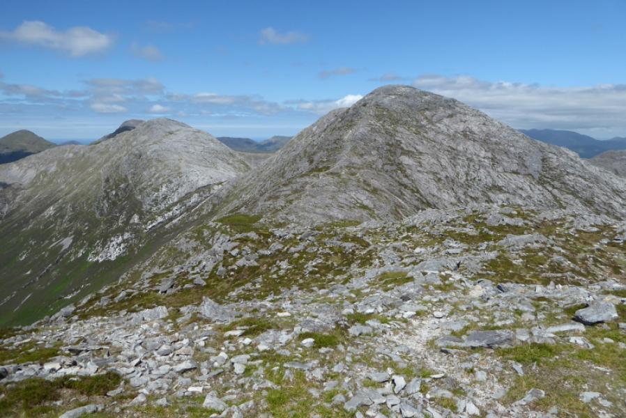
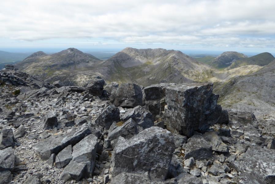
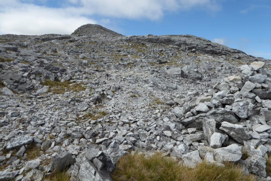
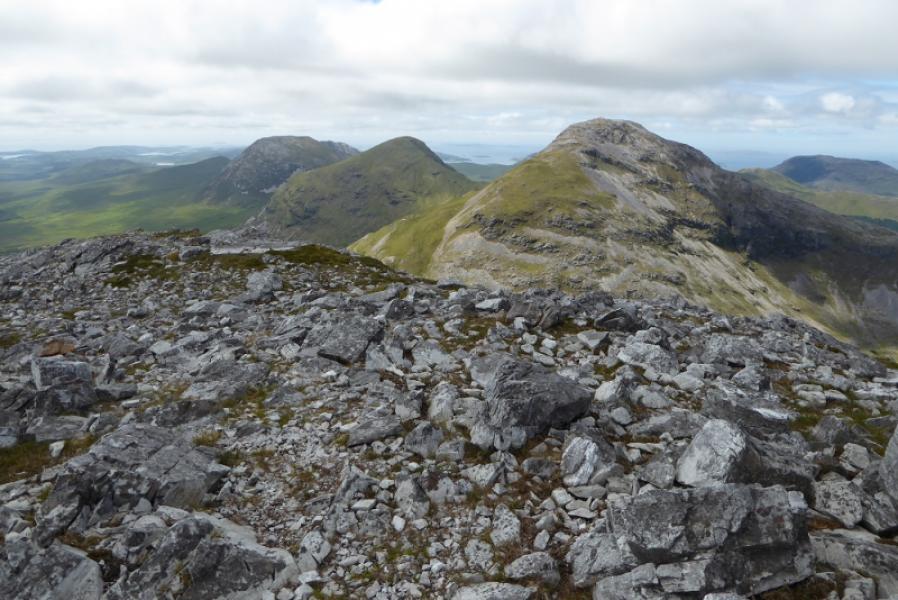
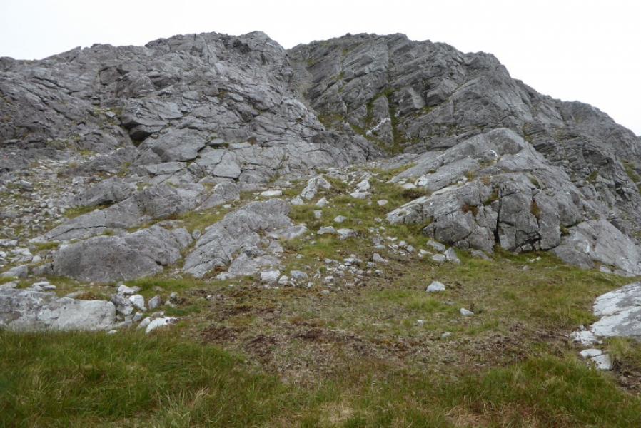
(4) Descend W from the summit, weaving around to avoid the crags. The ridge turns SW just above the col then starts ascending the NE ridge of Benbreen. There is a faint path but the route is not that obvious. Many will be drawn to a steep gully off to the right of the crest which has a faint path up its left hand side. Reach a top with a cairn and continue along the crest going SW then SSE over several cairned tops. Reach a large cairn which is the summit of Benbreen, 691 m.
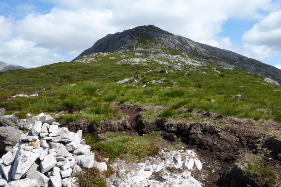
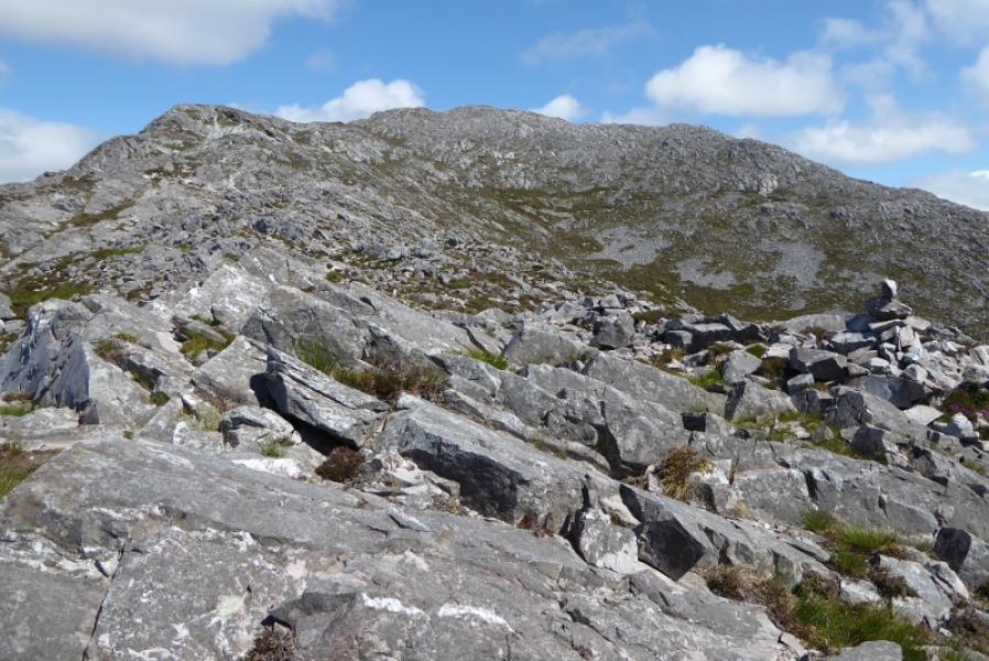
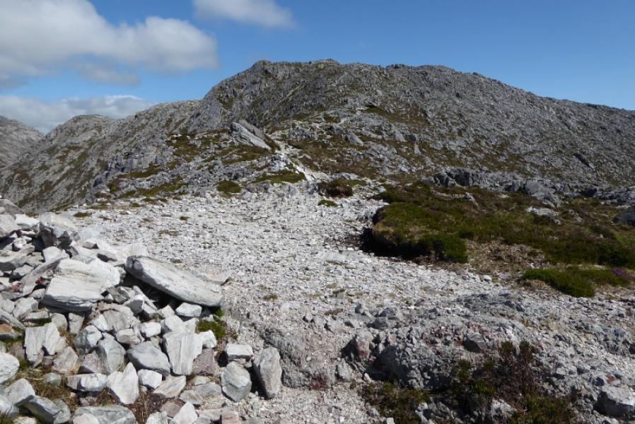
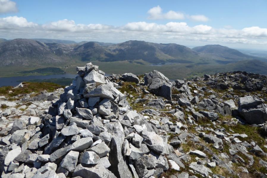
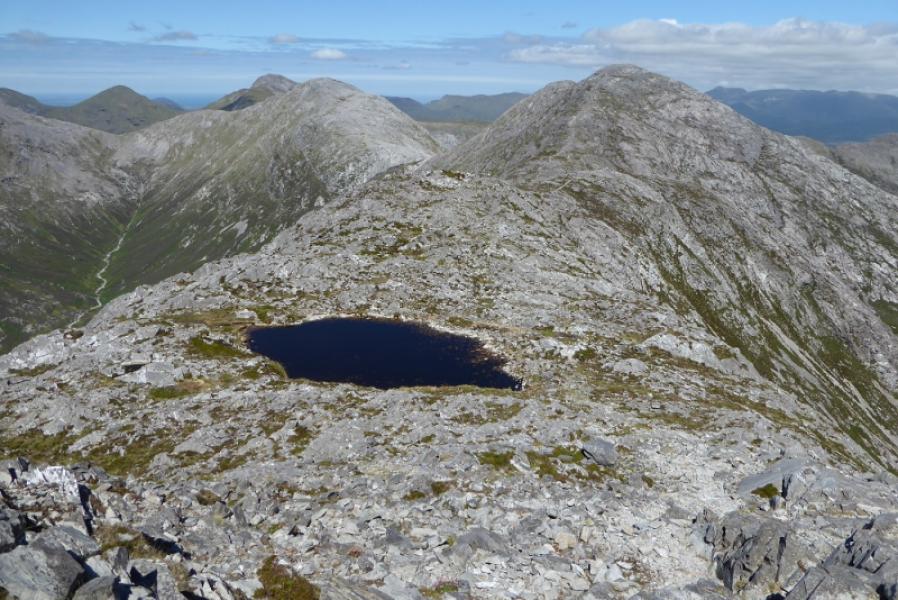
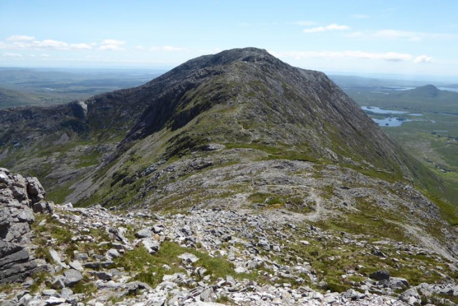
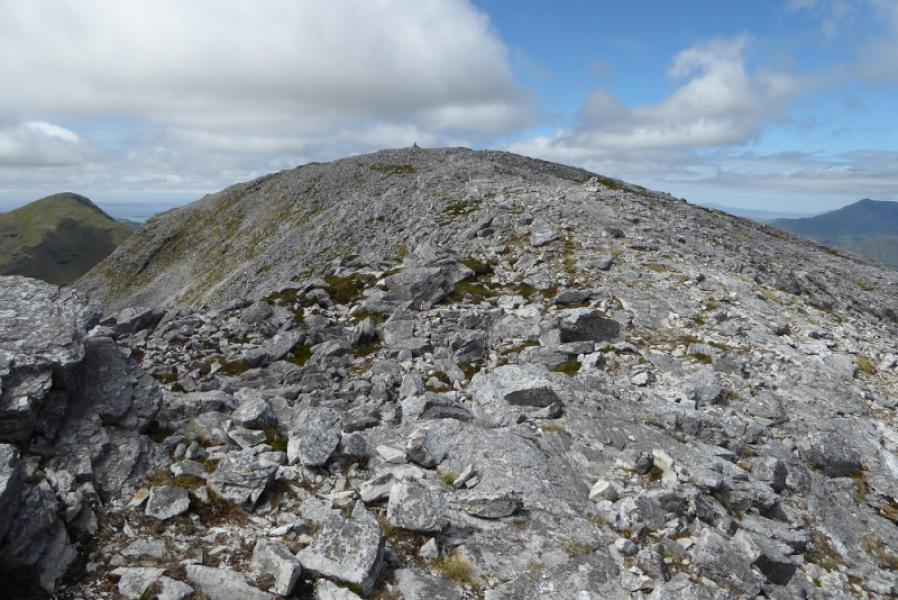
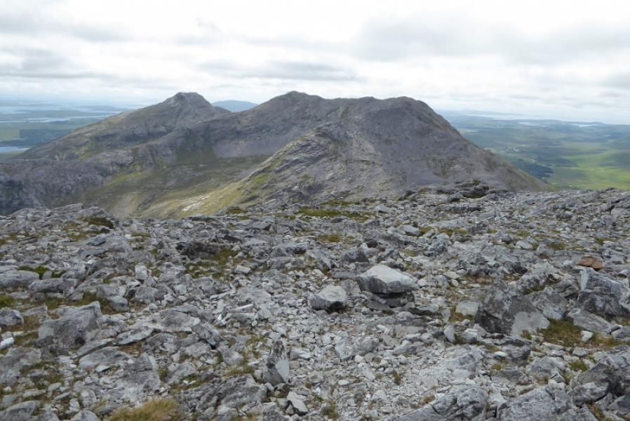
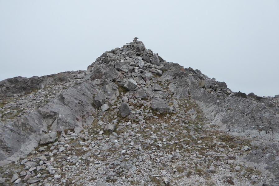
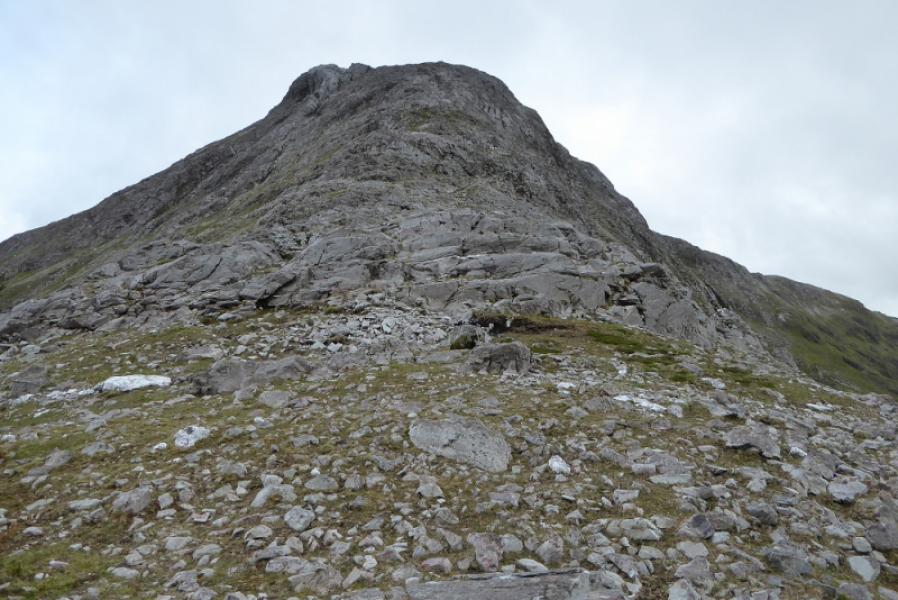
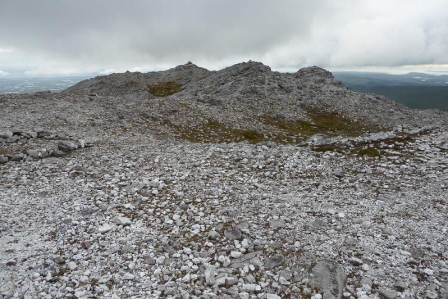
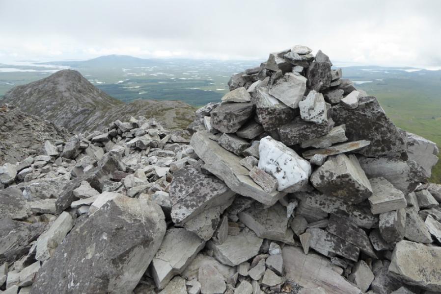
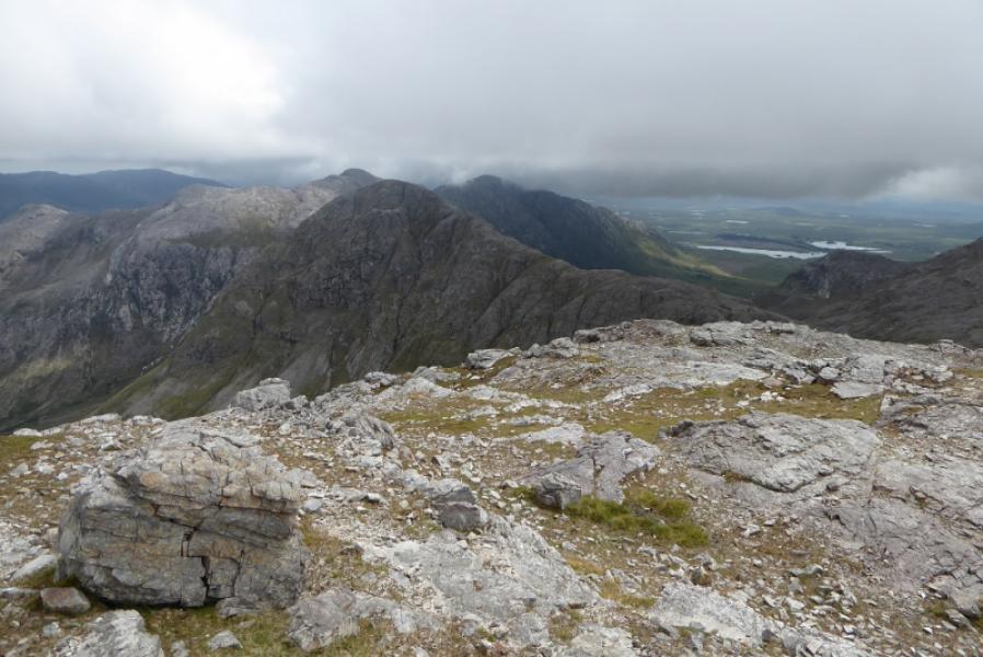
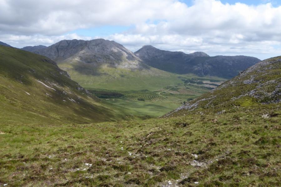
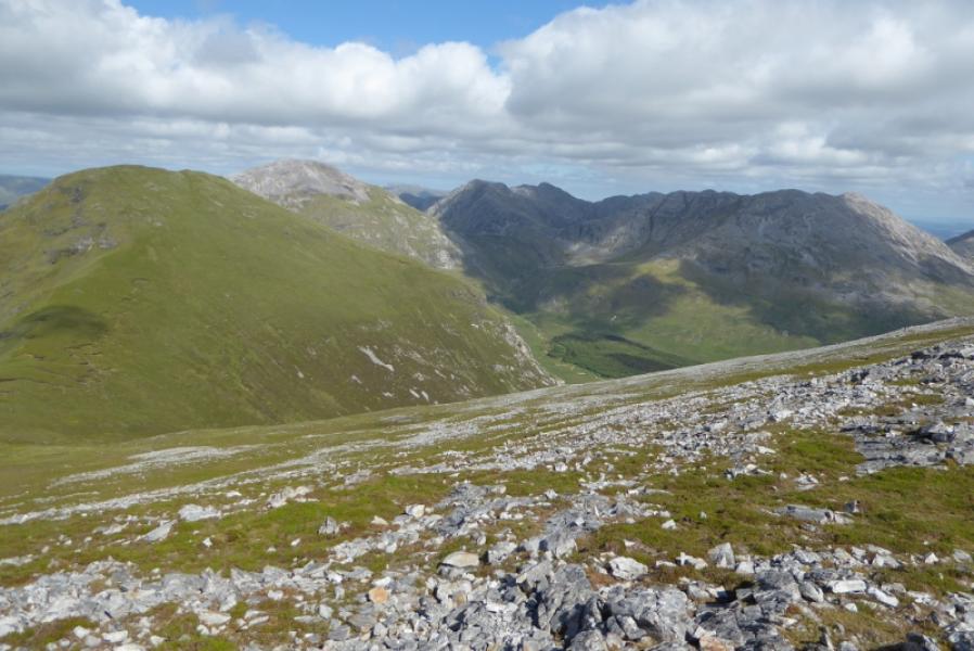
(5) Fortunately, a fairly obvious path heads from the summit and soon reaches a small cairn on top of a small cliff. One turns left here and descends steep scree to the col. Alternatively, one could go a little more right where the ground is almost as steep but has less scree. Reach the grassy col from where Bengower looks impossibly steep and rocky. There is a path and it pays to locate it which picks its way up, first on the right then cuts back more to the left. By using easy sloping terraces and the odd gully, hands are only needed on the odd occasion. Eventually the gradient eases and one is on a very stony and rocky plateau. There is a cairn off to the E but the summit is more a continuation of the line of ascent and is the largest cairn amongst outcrops. This is Bengower, 664 m.
(6) The main ridge splits at Bengower. Benlettery is the S option. Once clear of Bengower's summit area, the ground is more pleasantly grassy and a path leads SE then s down to a col then up to the summit cairn on Benlettery, 577 m. This is the shortest and easiest ascent of the day from a col.
(7) Start descending S off Benlettery and soon find a path. It is a steep descent which weaves around to avoid the crags and cliffs. Once past these, the path is harder to follow down peaty heathery slopes so aim for the hostel if you can see it. If not, it is possible to drop down to the main road then walk E.
Notes
(a) This walk took place on 6th July, 2018.
(b) Beware of guide books which claim this circuit can be completed in 5 – 6 hours. Not by average walkers it can't!
Photos - Hover over photo for caption. Click on to enlarge. Click on again to reduce.