Get Lost Mountaineering
You are here: Ireland » West » Connemara
Binn Mhor & Mullach Glas from Mam Ean Car Park
Binn Mhor & Mullach Glas from Mam Ean Car Park
Start/Finish
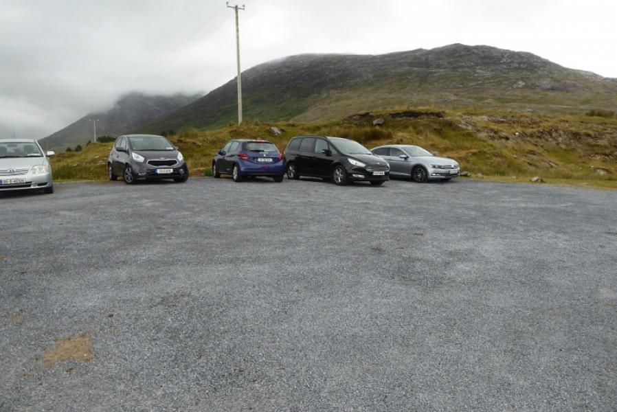
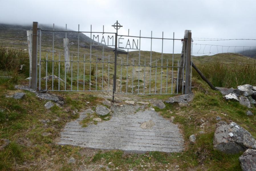
Mam Ean car park which is on the minor road to the east of the R344 road from near Recess to Kylemore. The car park is well signed when reached. It is at L 892 496. Buses and coaches have a habit of turning up full of “pilgrims” so space may be hard to come by at times.
Distance/Time
11 km. About 5 – 6 hours.
Peaks
Binn Mhor, 661 m, L 918 493
Mullach Glas/Teenakill South, 622 m, L 937 492. (Irish National Grid System)
Harveys Connemara Map
Introduction
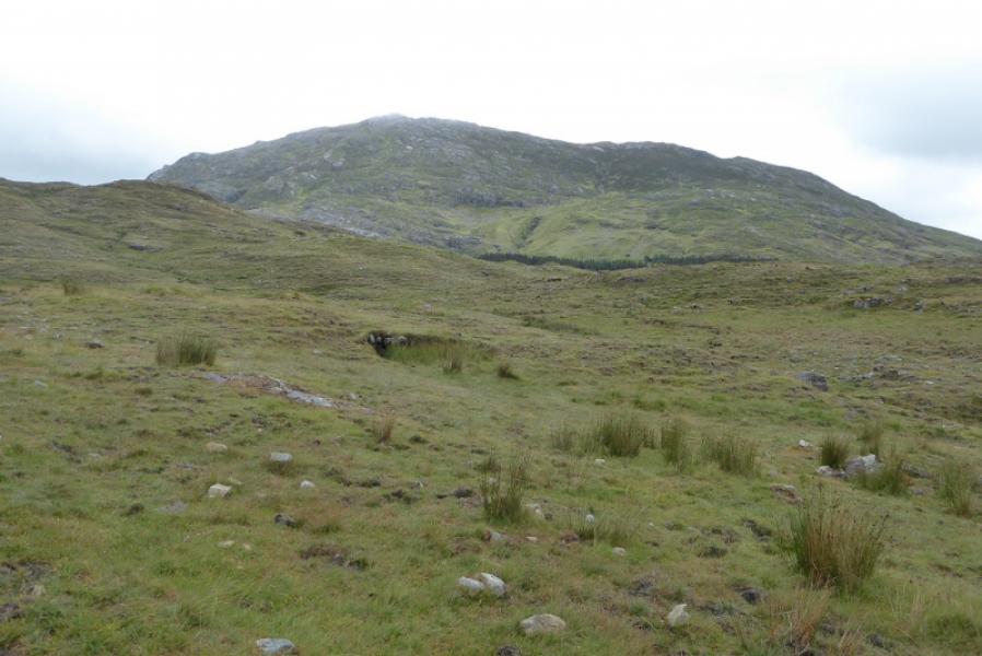
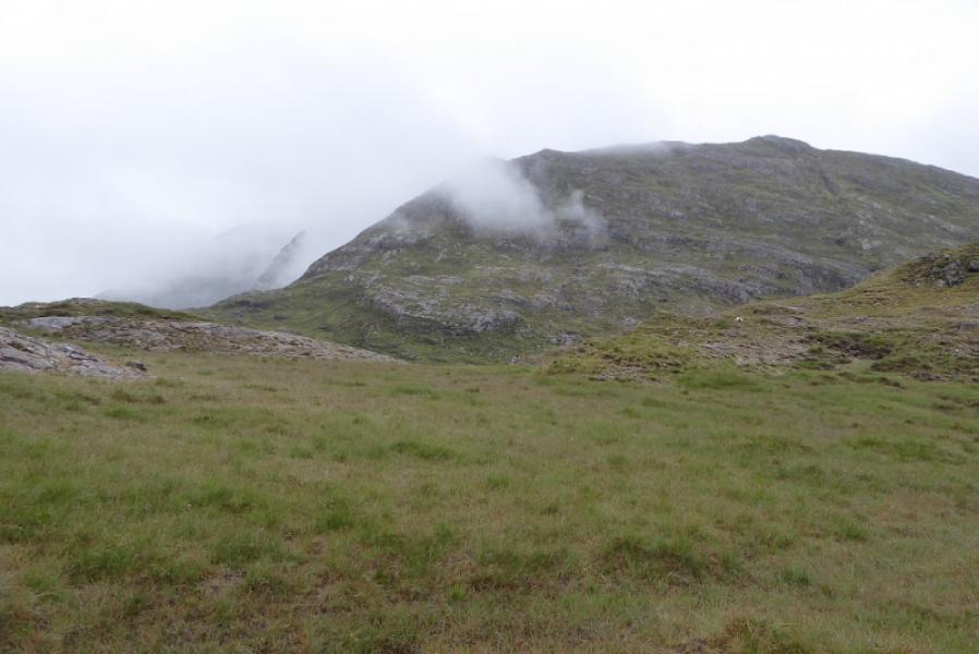
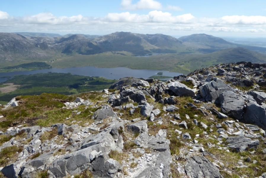
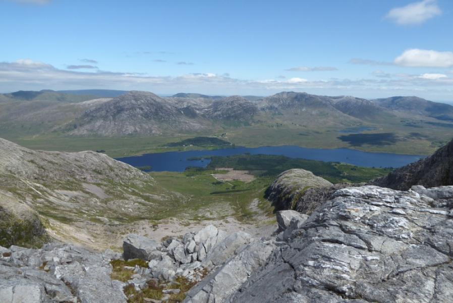
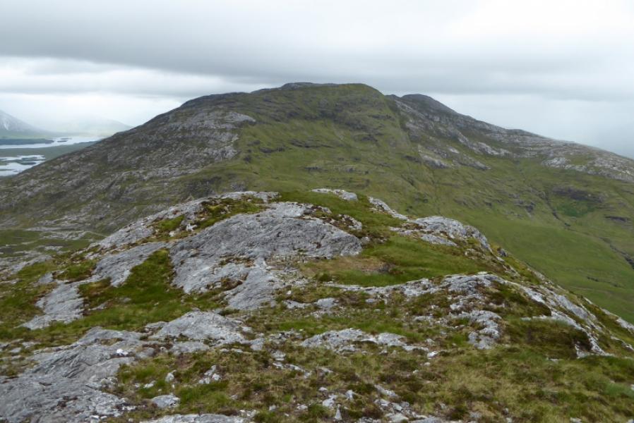
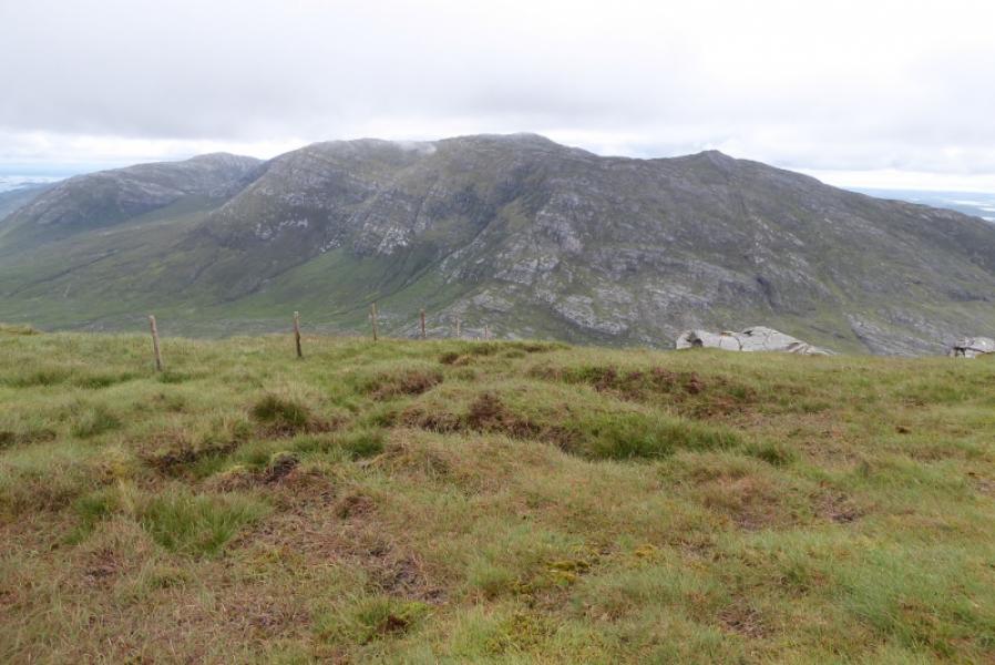
The Maumturks is a long ridge to the east of the 12 Bens. They are just as tough and steep so don't expect to fly around them! They offer good views to the 12 Bens and other mountains in the Maumturks range. Tacle this route in good visibility as the crest is virtually pathless and not well defined. There is a steep drop between Binn Mhor and Mullach Glas which has to be crossed twice.
Route
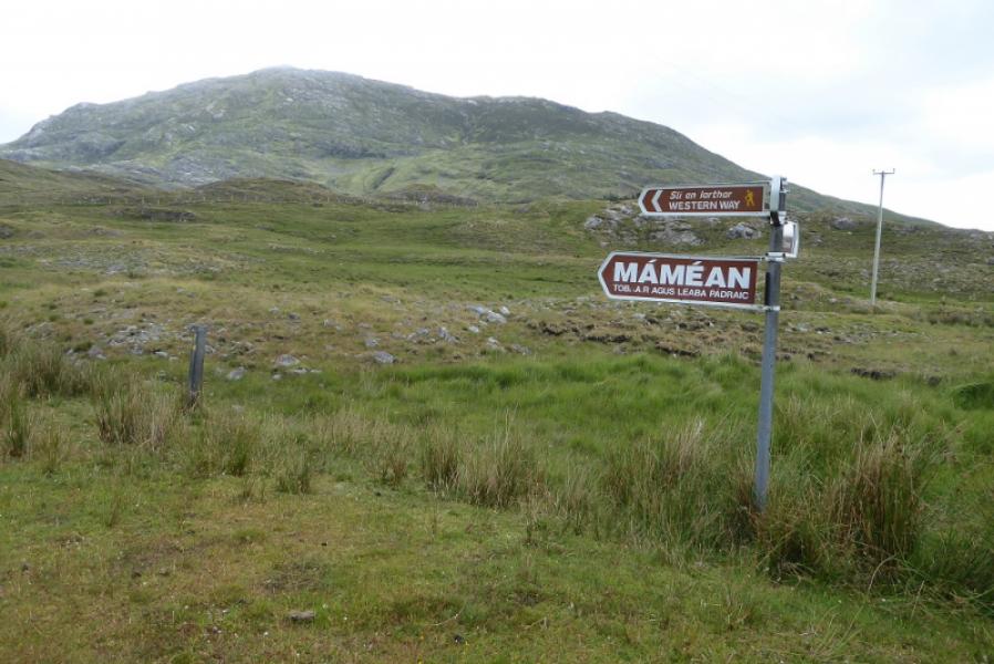
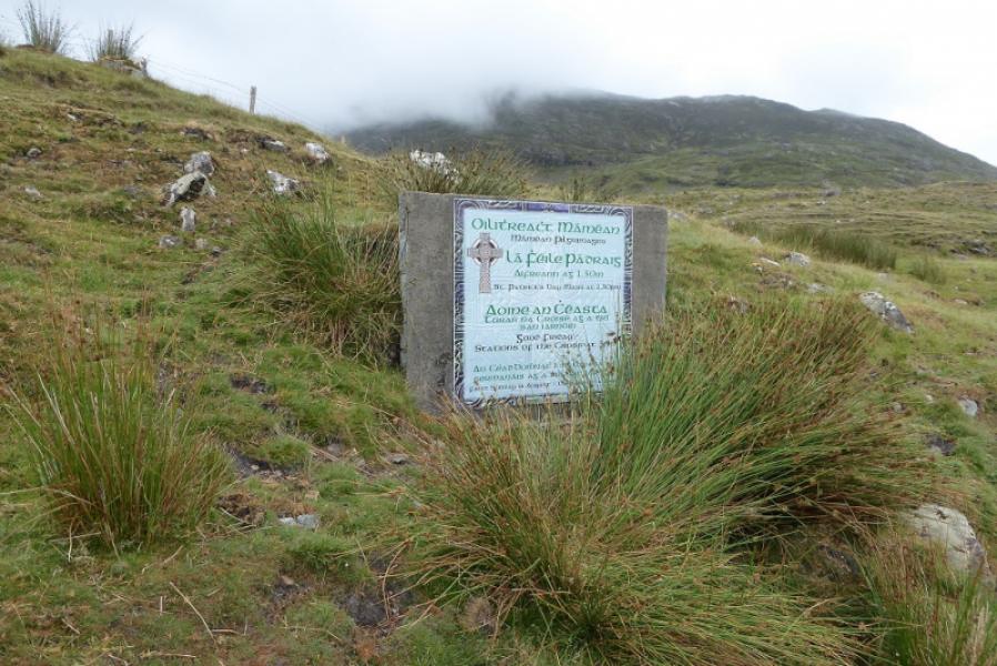
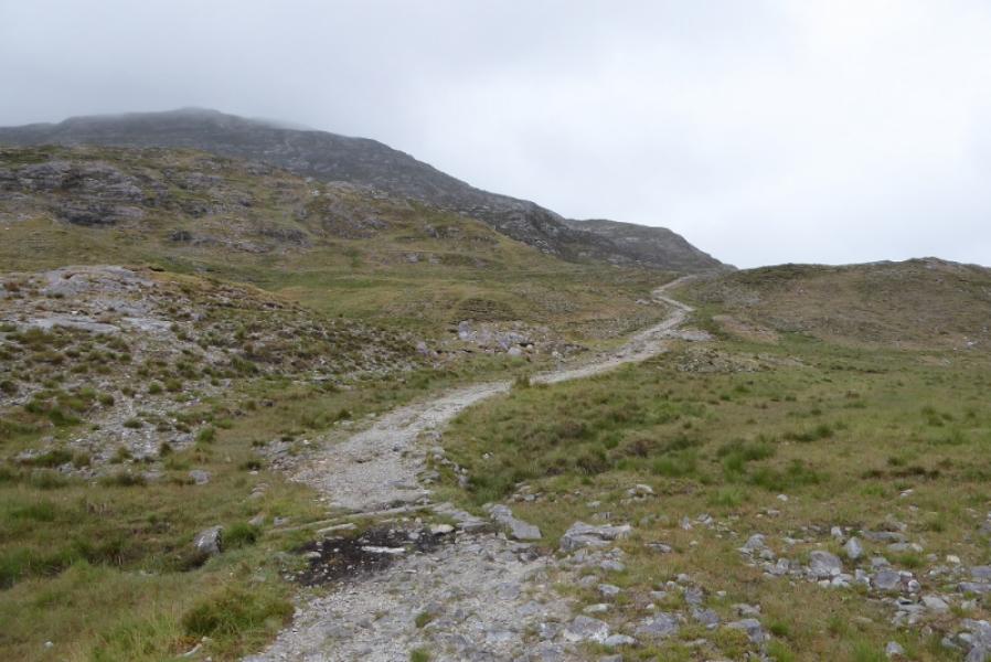
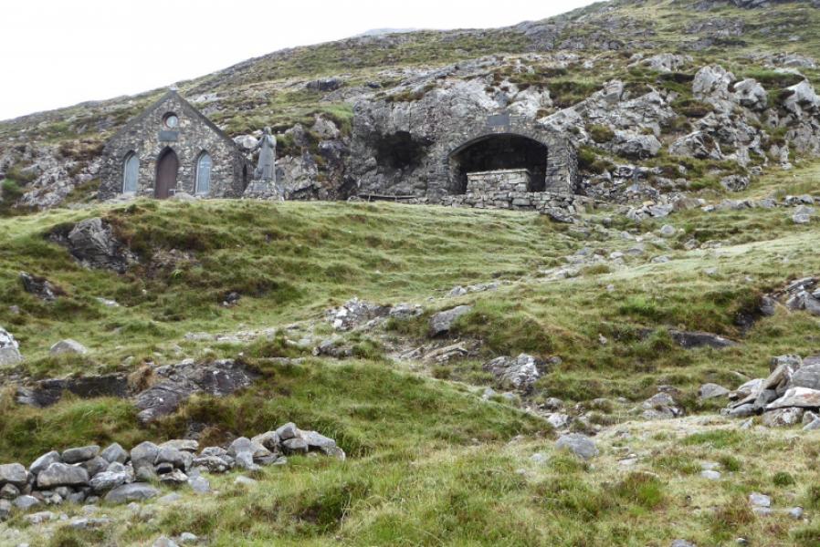
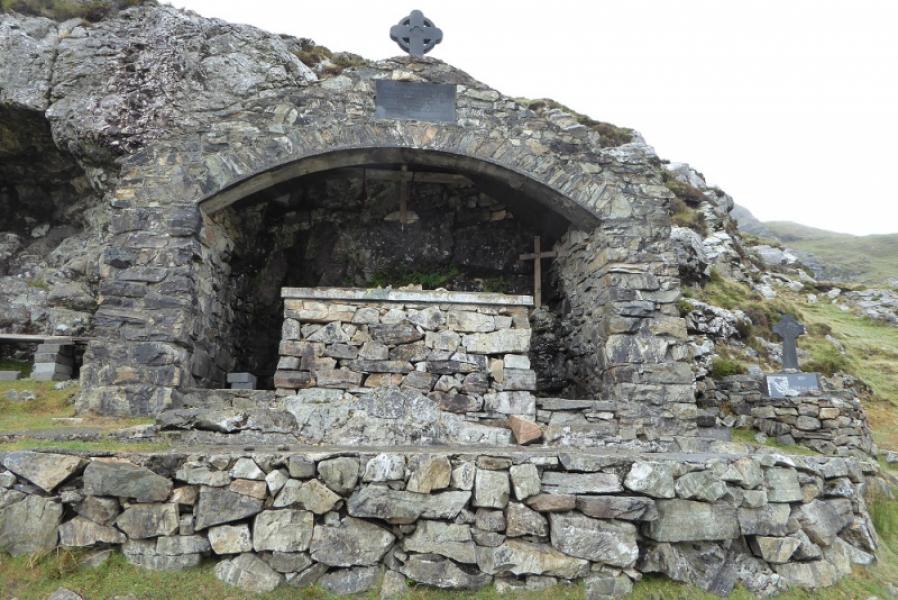
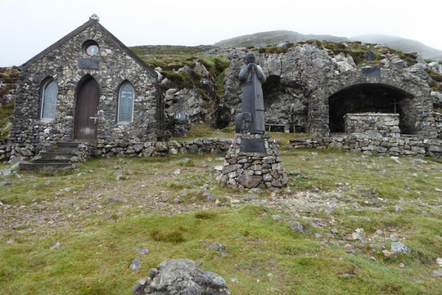
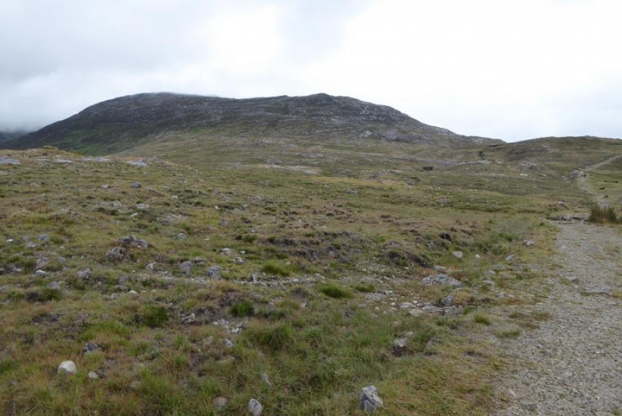
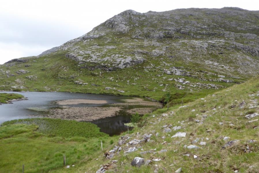
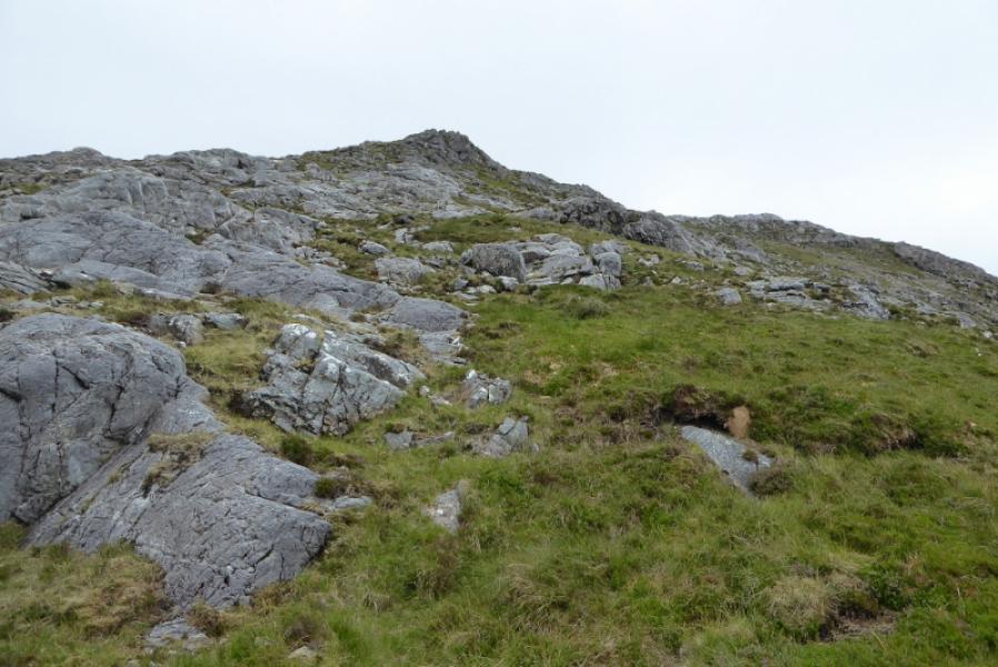
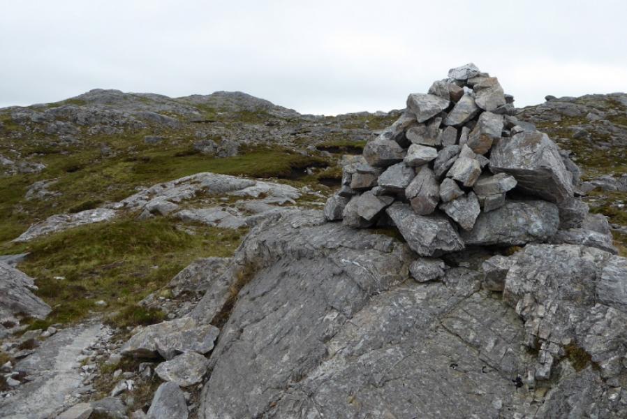
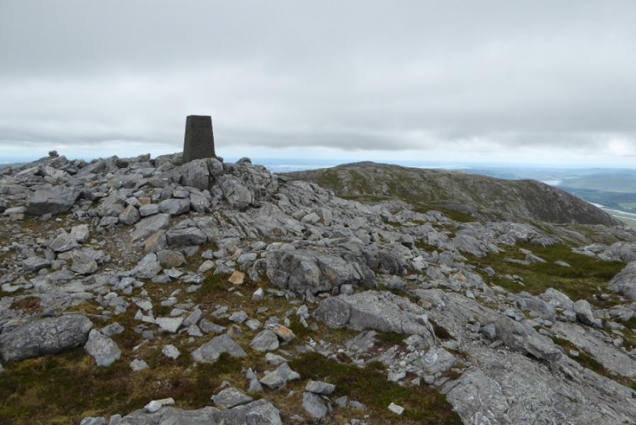
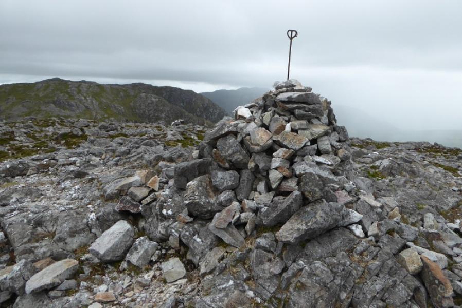
(1) Walk up the obvious path to the chapel then pick a way over to the right hand side of the lochan to the SSE. The direct line can be quite boggy so higher ground to the right may have to be used. A fence goes around the lochan and this is a good guide to begin with but look for a faint path going off right and try to follow it. This picks its way up, fairly distinctively in places, and almost comes back to the fence higher up before going off right again and weaving up the steep and rocky ground. There are no difficulties except of your own making! Try to remember the route for the descent. You are always to the right of the steep ridge seen from the chapel. When the gradient eases, drift left to find a substantial cairn. This will need to be located on the return. Head roughly ESE until the summit outcrop becomes obvious. There is a hint of a path here and there. Pick a way to the summit outcrop where a trig point is the summit of Binn Mhor, 661 m.
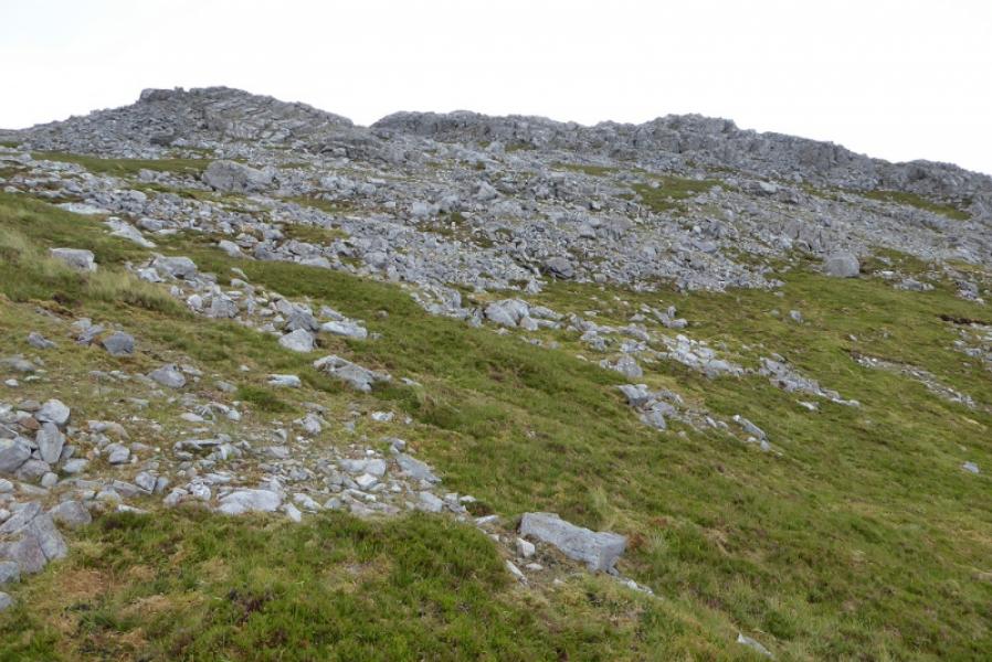
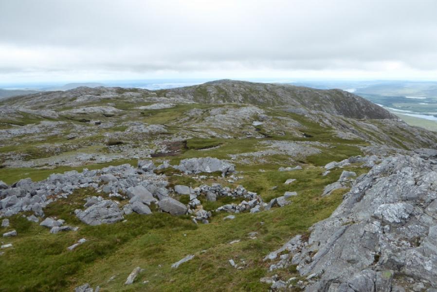
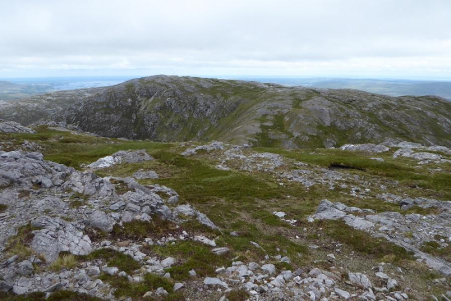
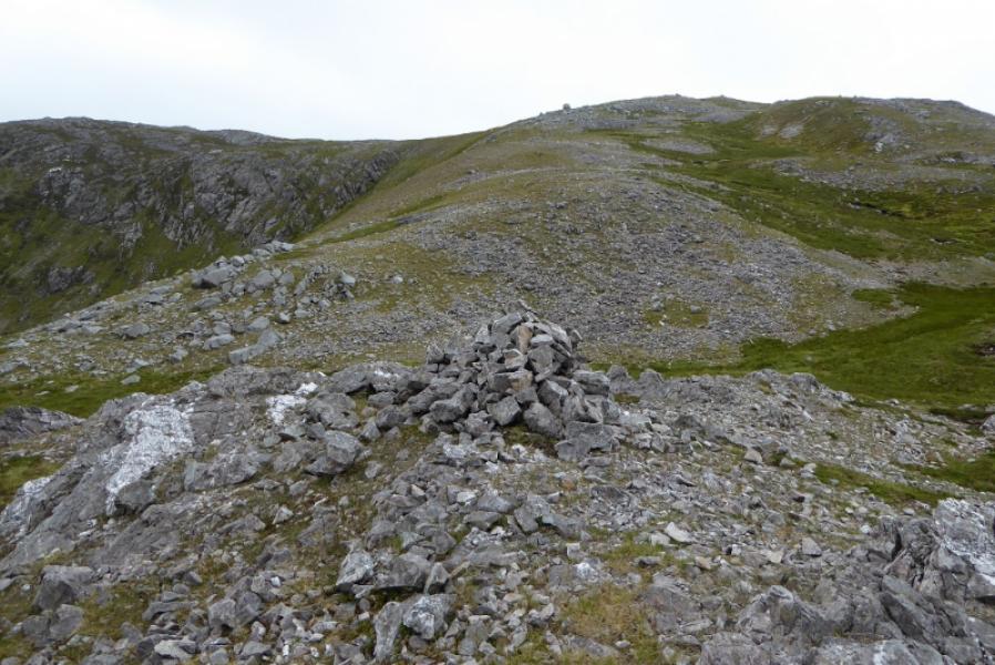
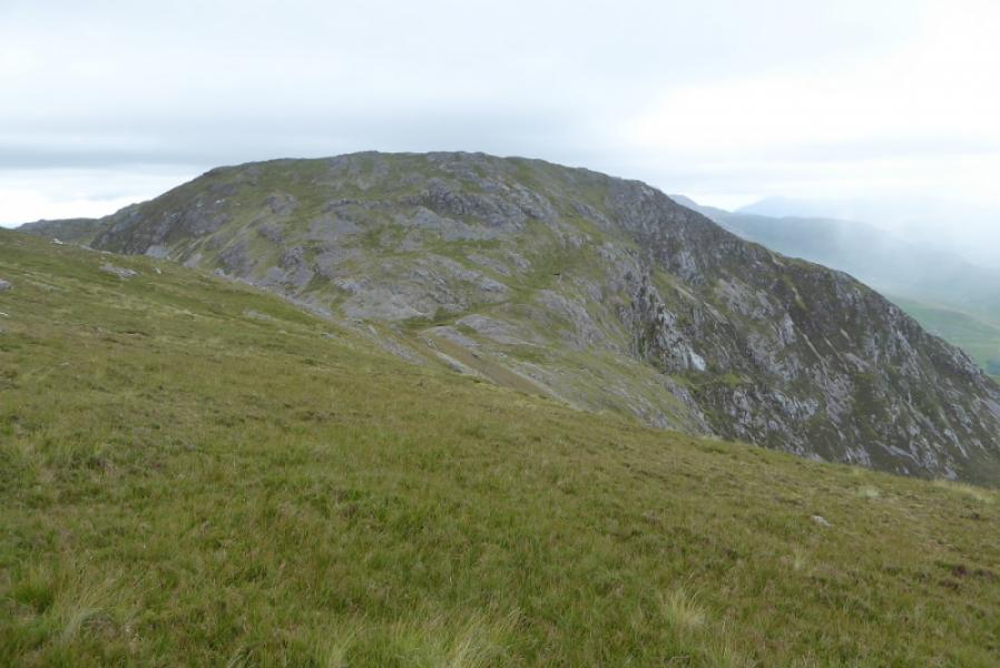
(2) In clear weather, Mullach Glas will be obvious about 2 km to the E but the route to it is not obvious. There are two minor cairned tops: Pt 640 which can be bypassed and Pt 630 which marks the start of the descent to the col for Mullach Glas. On the way is stony and boggy ground and no real definition to the broad crest although there is a faint path in places. At Pt 630, start the steep descent down stony and grassy slopes to reach the col where there is a large cairn. Pick a way up, SE, then start drifting left to meet a fence which passes close to the summit cairn of Mullach Glas/Teenakill South, 622 m. Note that there is another large cairn at the SW end of the summit crest which may be confusing in mist.
(3) Retrace the outward route being sure to locate the cairn before the steep descent off Binn Mhor. Binn Mhor summit can be skirted if so wished.
Notes
(a) This walk took place on 7th July, 2018.
Photos - Hover over photo for caption. Click on to enlarge. Click on again to reduce.