Get Lost Mountaineering
You are here: Ireland » West » Connemara
Binn Chaonaigh & Barrslievenaroy from Mam Ean Car Park
Binn Chaonaigh & Barrslievenaroy from Mam Ean Car Park
Start/Finish
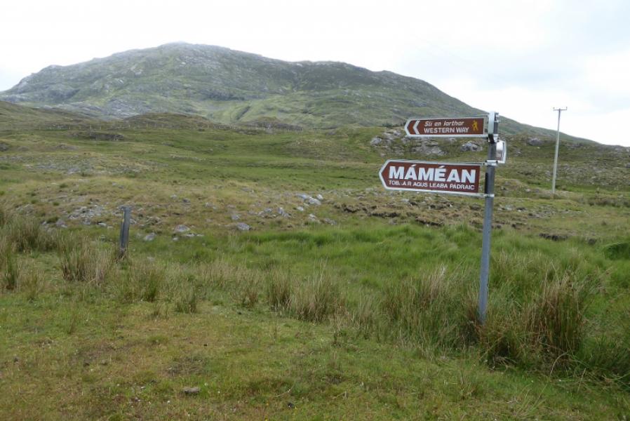
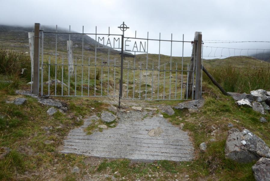
Mam Ean car park which is on the minor road to the east of the R344 road from near Recess to Kylemore. The car park is well signed when reached. It is at L 892 496. Buses and coaches have a habit of turning up full of “pilgrims” so space may be hard to come by at times.
Distance/Time
12 km. About 6 – 7 hours.
Peaks
Binn Chaonaigh, 633 m, L 900 515.
Barrslievenaroy E Top, 659 m, L 893 525.
Barrslievenaroy, 702 m, L 888 528. (Irish National Grid System) Harveys Connemara Map
Introduction
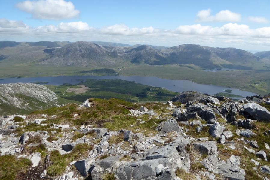
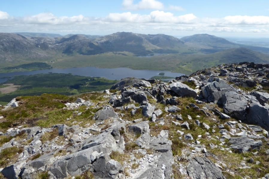
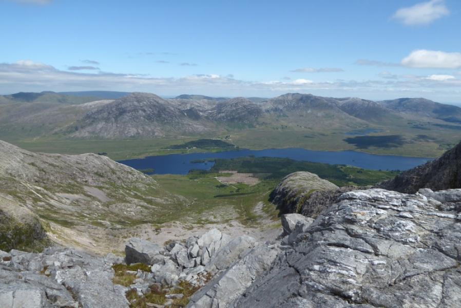
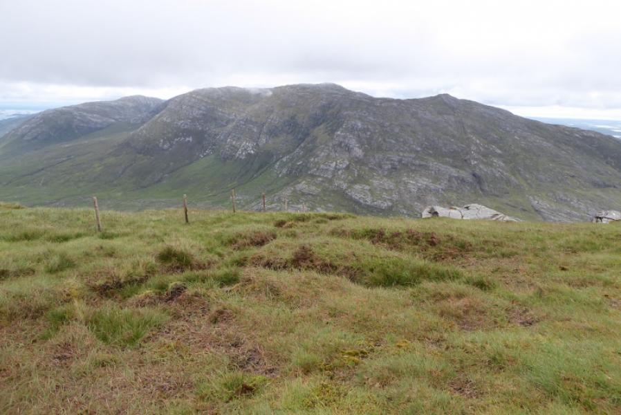
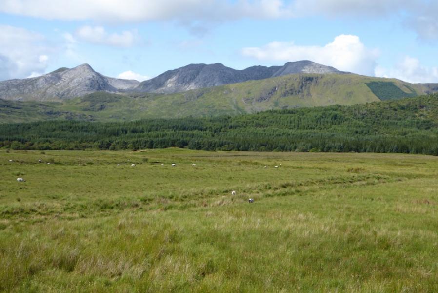
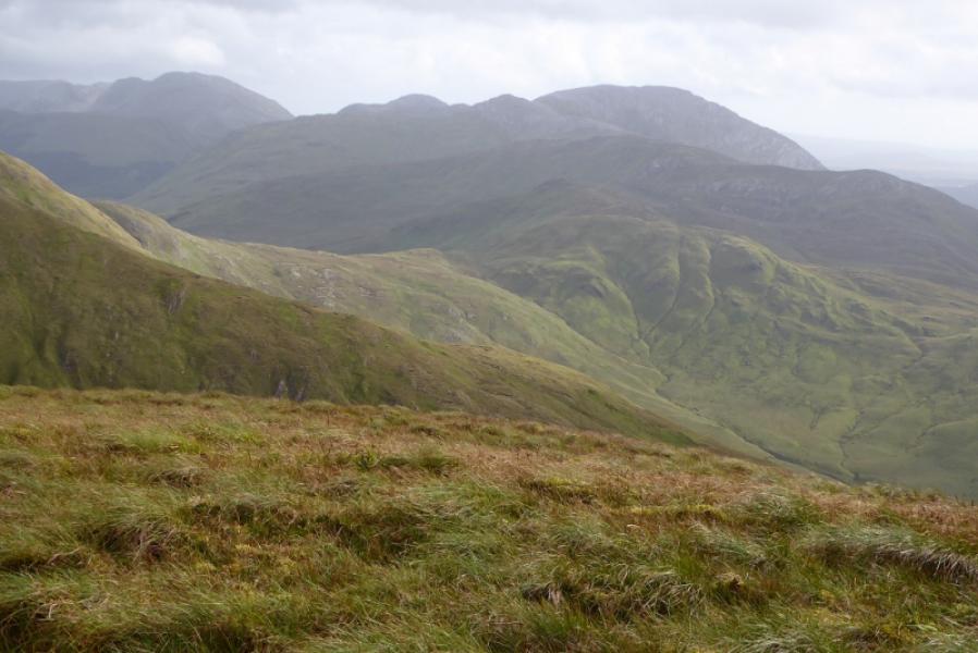
The Maumturks is a long ridge to the east of the 12 Bens. They are just as tough and steep so don't expect to fly around them! They offer good views to the 12 Bens and other mountains in the Maumturks range. Tackle this route in good visibility as the crest is virtually pathless and not well defined. There are many minor tops on the ascent of Barrslievenaroy. There is a road walk of about 3.5 km at the end of the day so two cars or a bicycle would help.
Route
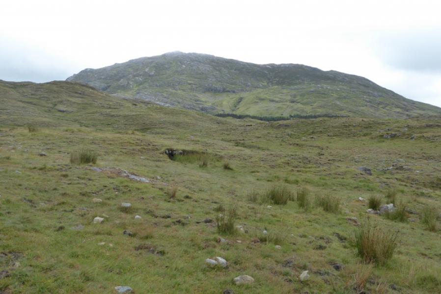
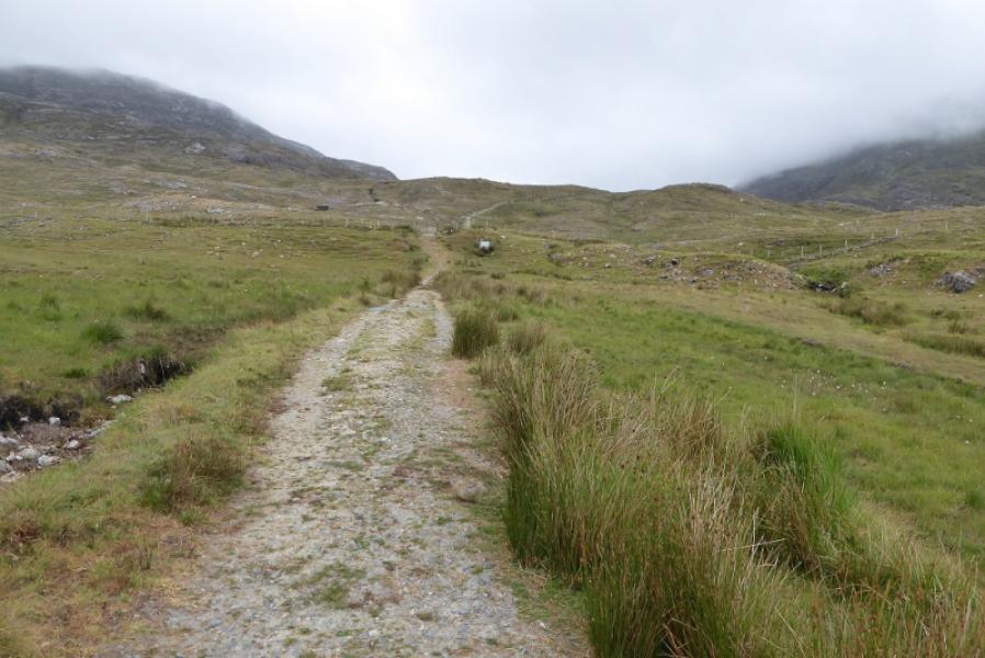
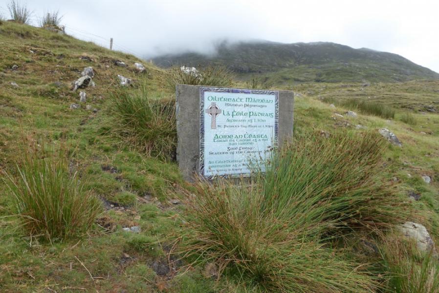
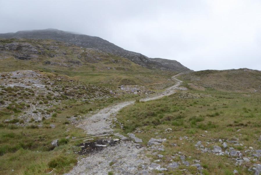
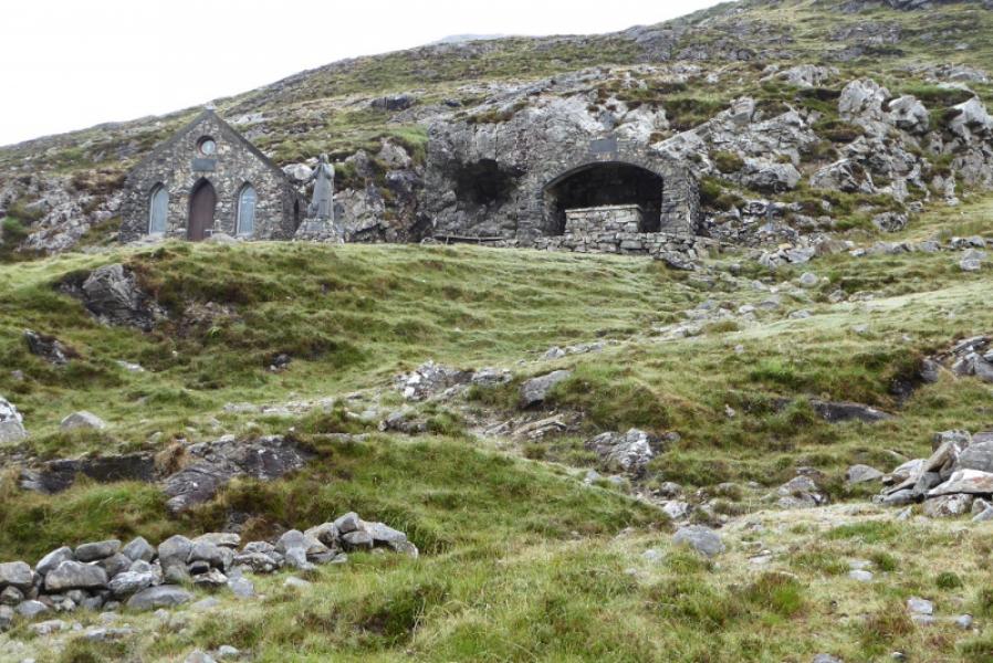
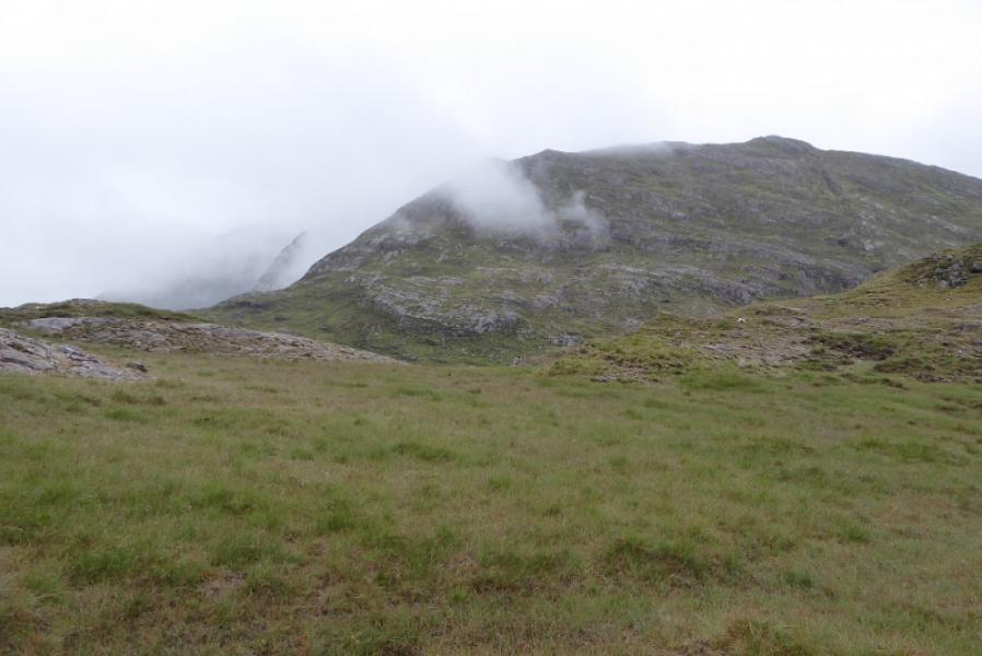
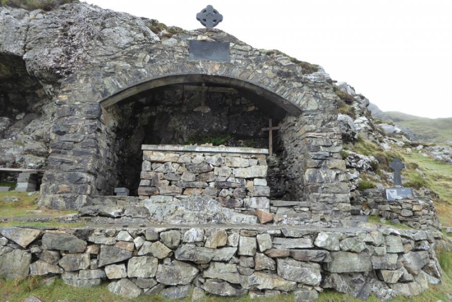
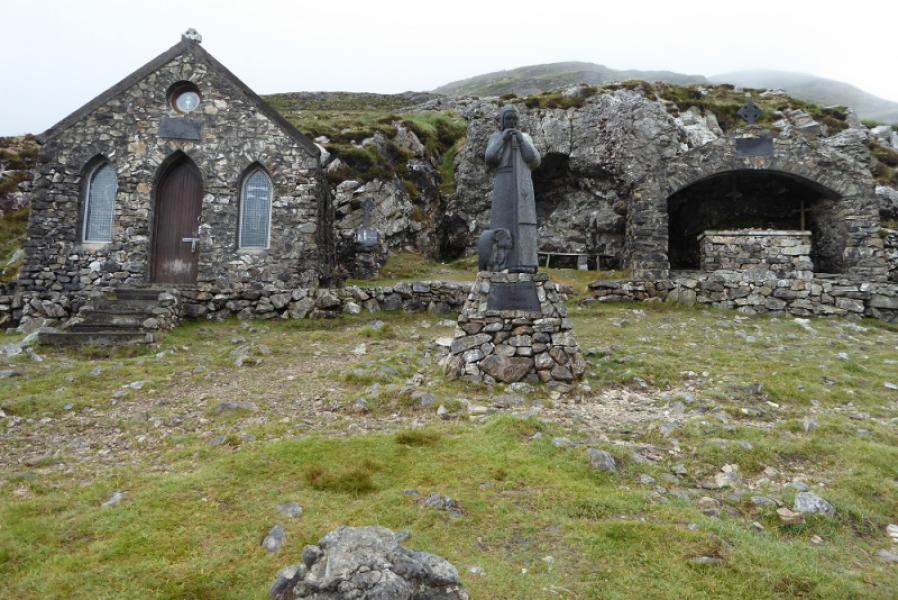
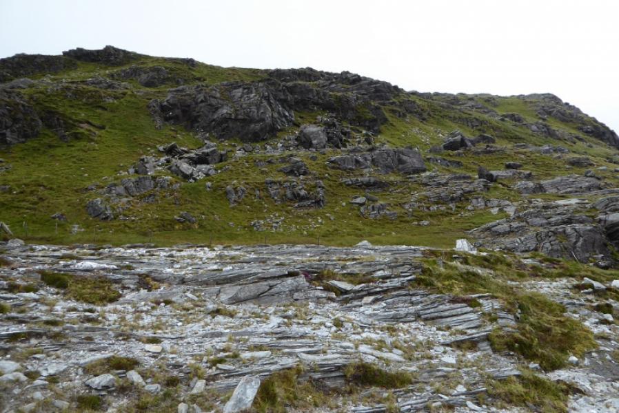
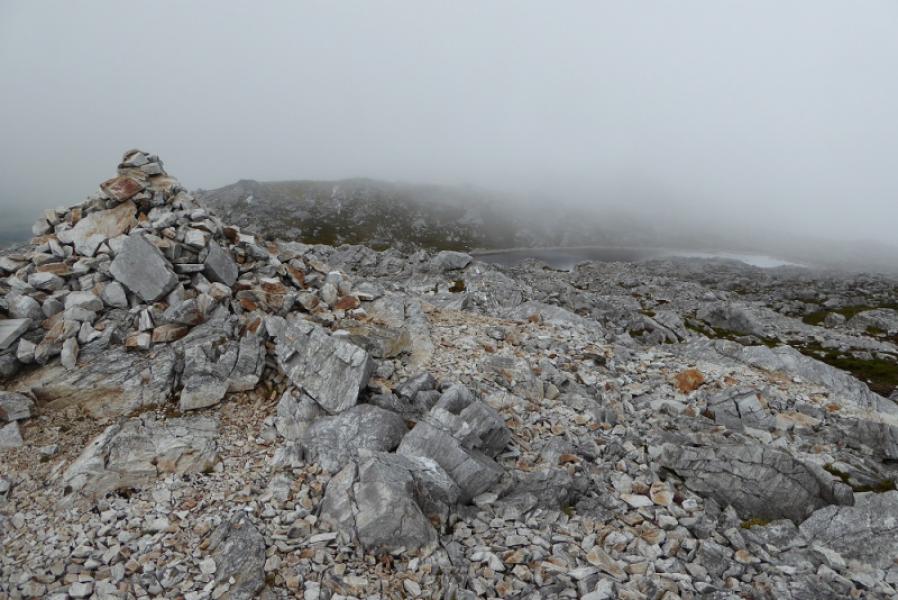
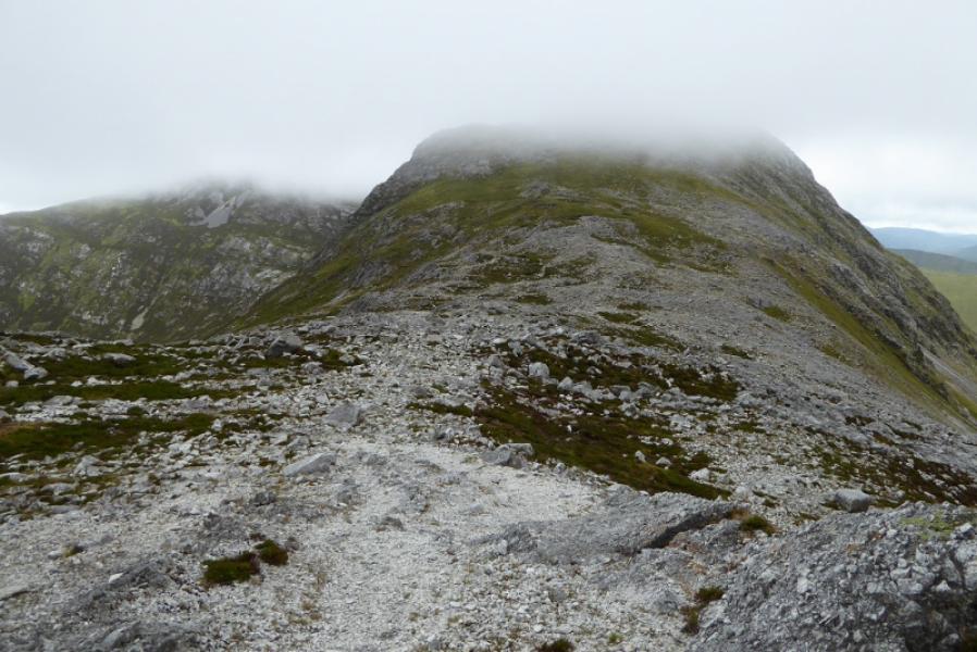
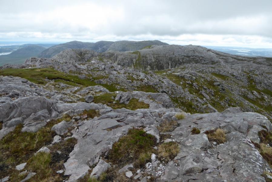
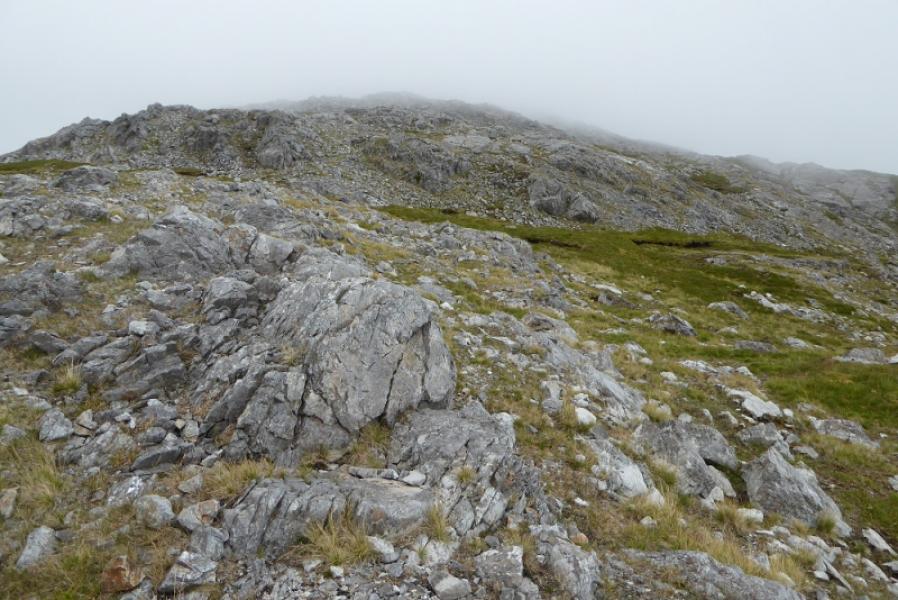
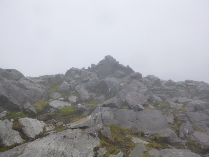
(1) Walk up the obvious path to the chapel then ascend the faint path to the right of the grotto. A fence will be seen off to the right. Follow the path, faint in places, uphill. It joins the fence for a while then goes off left before coming back as the gradient eases off. Head N when the fence goes E and soon reach the summit area where there is a S Top and a N Top both with substantial cairns. Visit both to be sure but the N Top seems to be the higher so this is the summit of Binn Chaonaigh, 633 m.
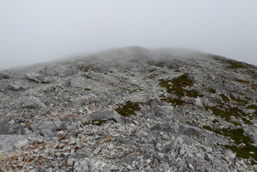
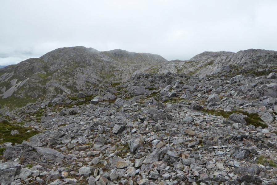
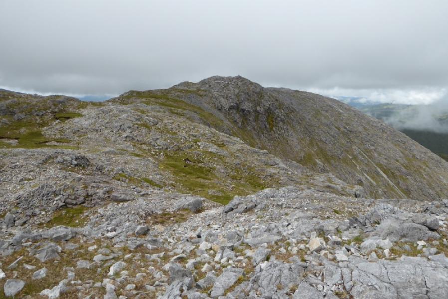
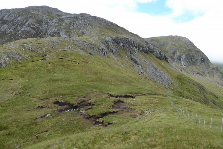
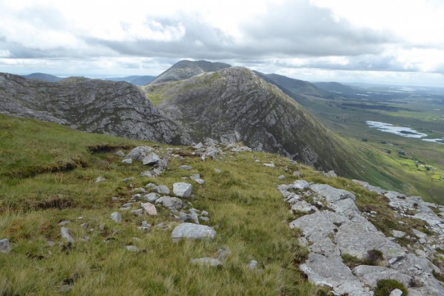
(2) It is easier to descend from the S Top where a faint path soon becomes very well defined but very stony and leads down to the col. Ascend more steeply on the other side and cross several minor tops before reaching the top where the ridge turns W. This is Barrslievenaroy E Top, 659 m and has a sizeable cairn.
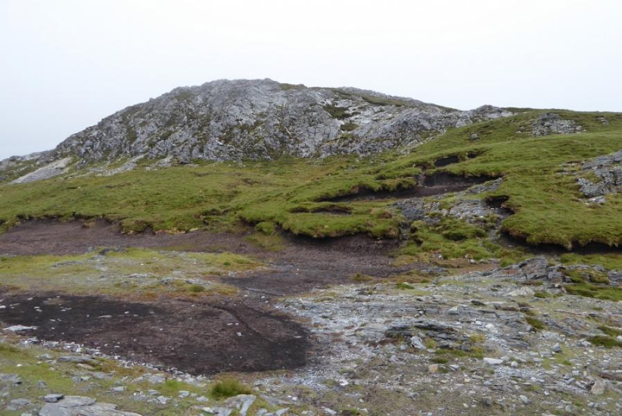
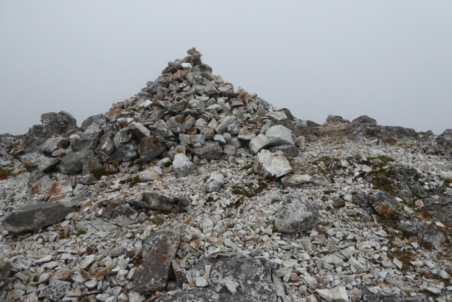
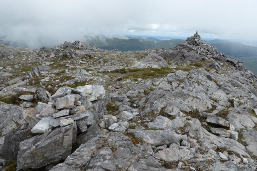
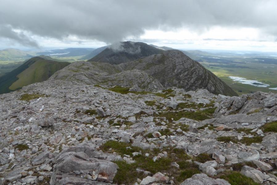
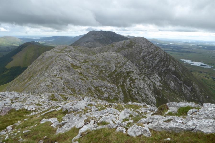
(3) Descend on very rough ground, heading W to another cairned top then N to finally reach the large cairn which is the summit of Barrslievenaroy, 702 m.
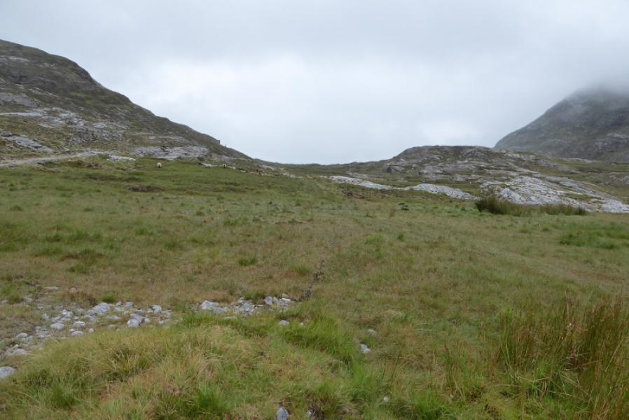
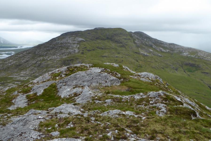
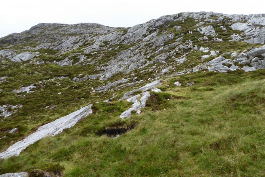
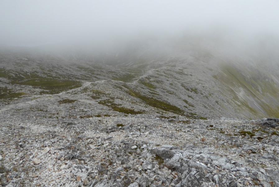
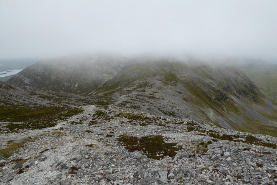
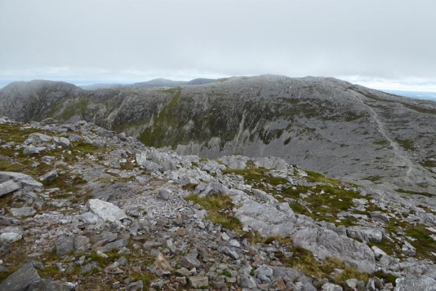
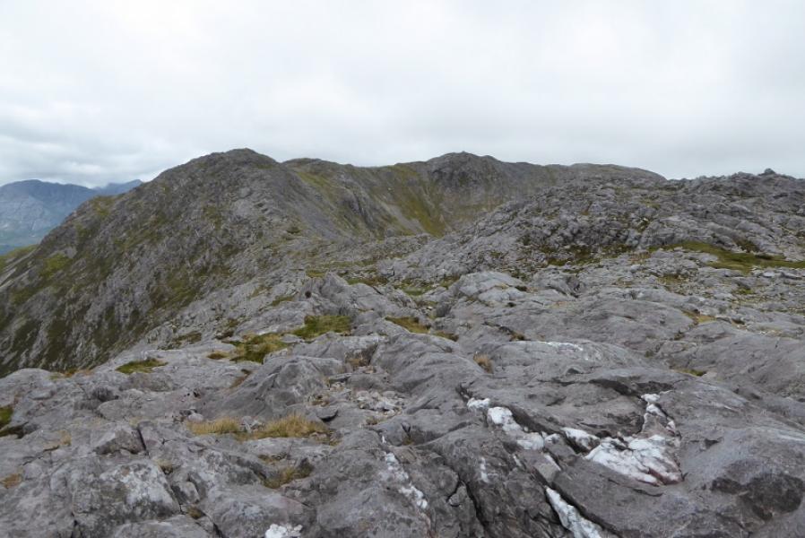
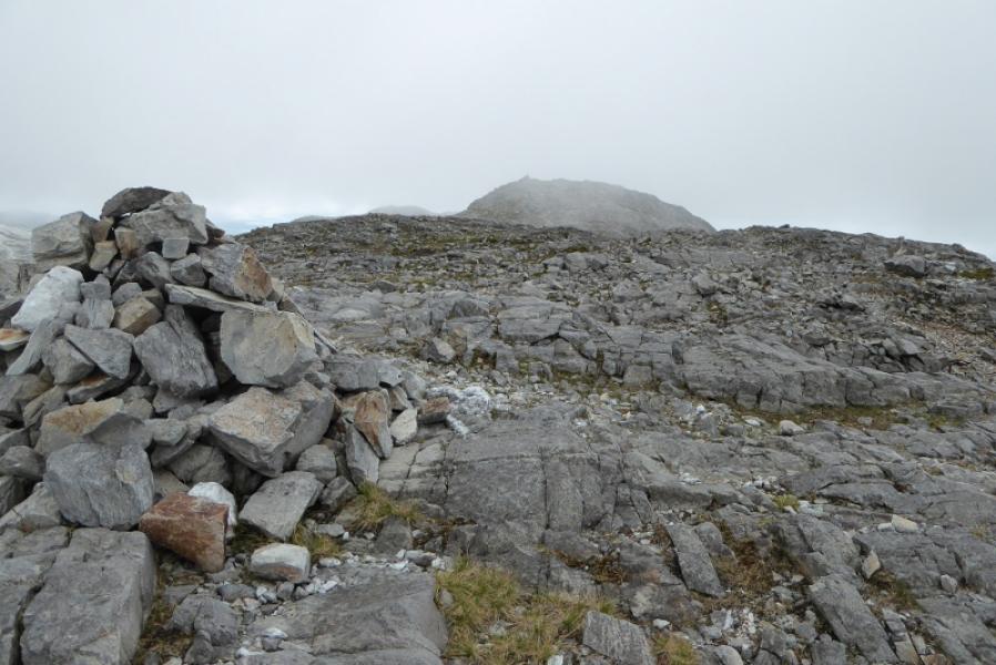
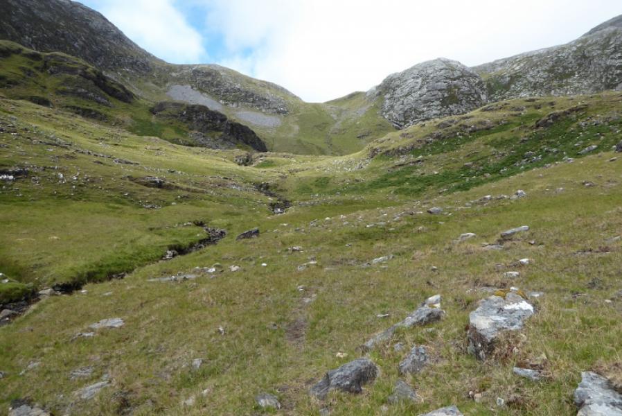
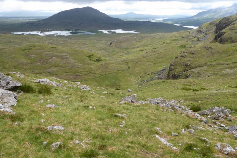
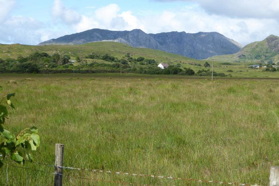
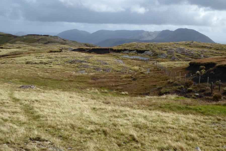
(4) Continue N across the very stony plateau to the cairn at Pt 696. The descent goes roughly NW from here across similar ground. There is a grassy strip off to the left but this goes too far left so don't follow it too far.. The ridge soon steepens but cairns help although there is little in the way of a path until a considerable steepening and this soon turns into an unpleasant steep scree path. Follow it down and go around the left side of the lochan, keeping some height, until a fence is picke dup which leads into the grassy peaty col below Knocknahillion. Leave the crest here and go left down the steep grassy corrie. Lower down the angle eases and sheep tracks can be followed, close to the stream, to gain the road. Some of the ground may be boggy. Once on the road, turn left and walk the 3.5 km back to the start.
Notes
(a) This walk took place on 7th July, 2018.
Photos - Hover over photo for caption. Click on to enlarge. Click on again to reduce.