Get Lost Mountaineering
You are here: Ireland » West » Connemara
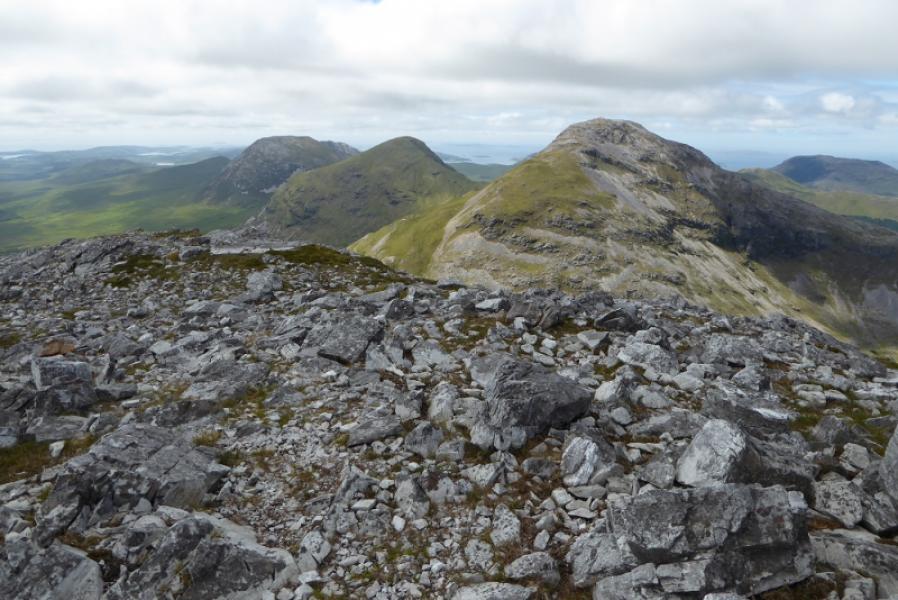
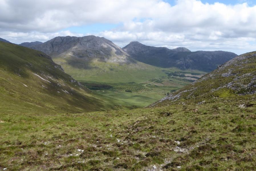
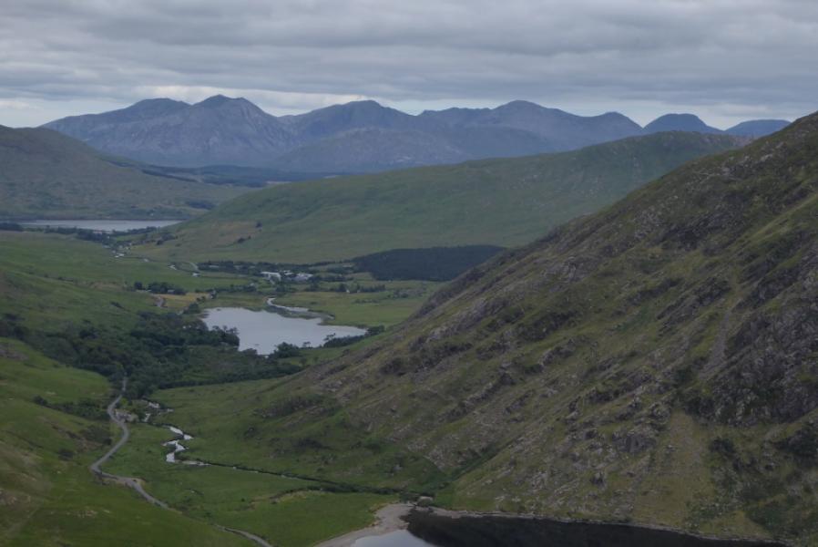
Benbaun, Benfree, Muckanaght & Bencullagh from near Barnanoraun
Benbaun, Benfree, Muckanaght & Bencullagh from near Barnanoraun
Start/Finish
North side of the bridge over the Owengin River at L 743 513. This is about 3 km/2 miles up a minor road which leaves the N59 at L 751 487, about 3 km/2 miles west of Benlettery Hostel.
Distance/Time
16 km. About 8 – 9 hours.
Peaks
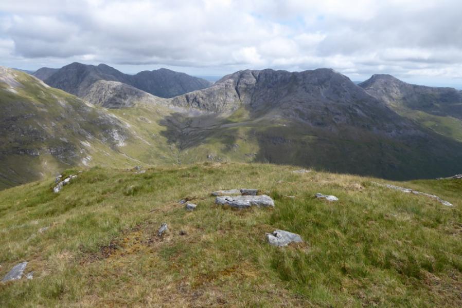
Benbaun, 729 m, L 785 539.
Benfree, 638 m, L 777 544.
Muckanaght, 654 m, L 767 540.
Bencullagh, 632, L 755 537. (Irish National Grid System) Harveys Connemara map
Introduction
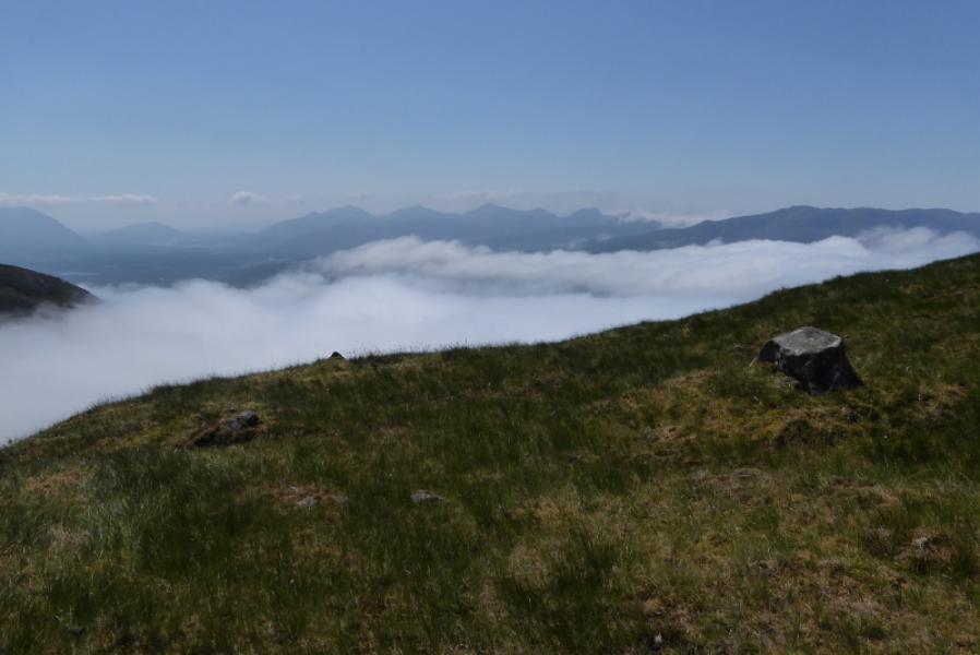
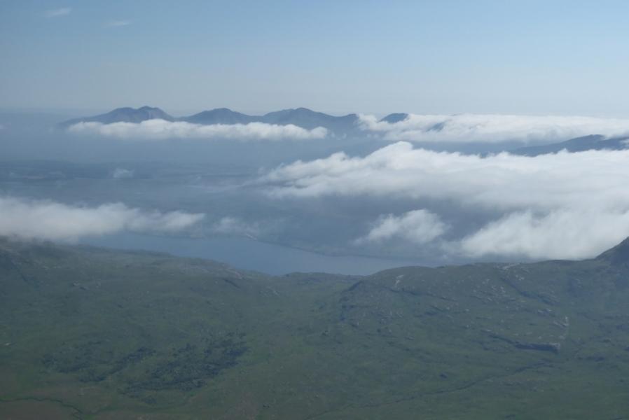
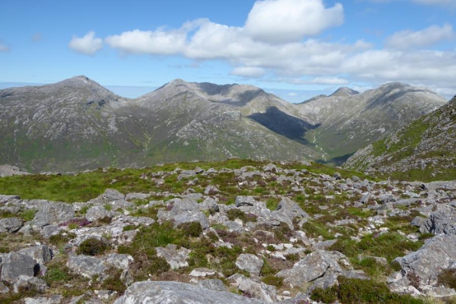
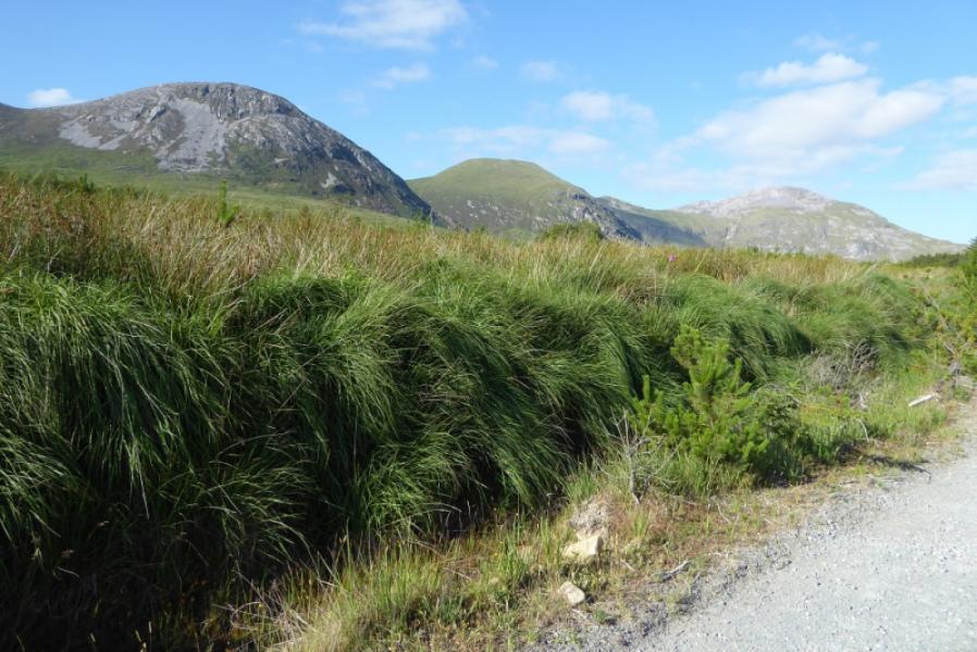
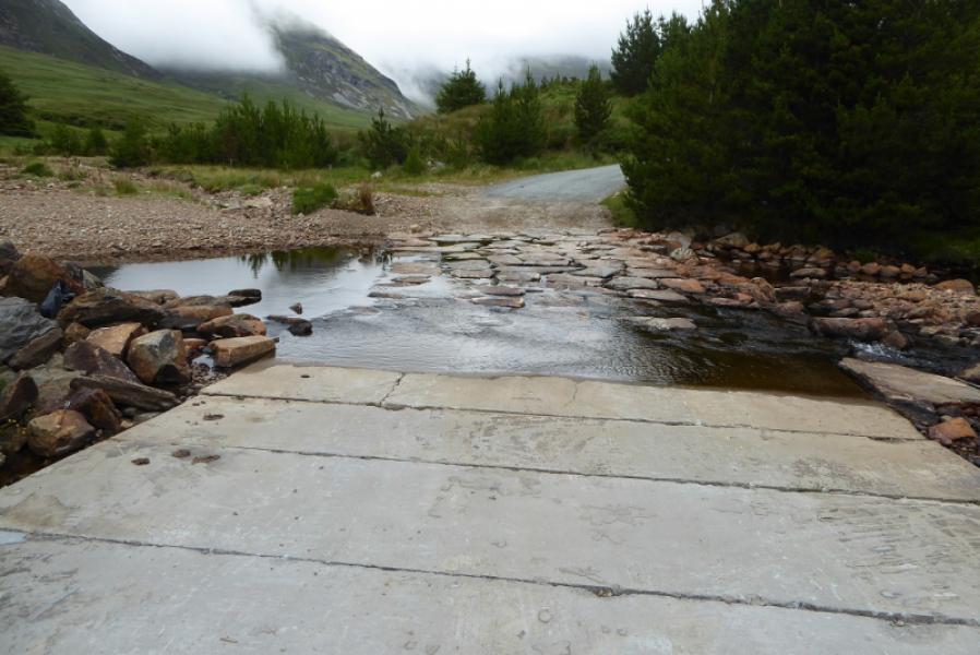
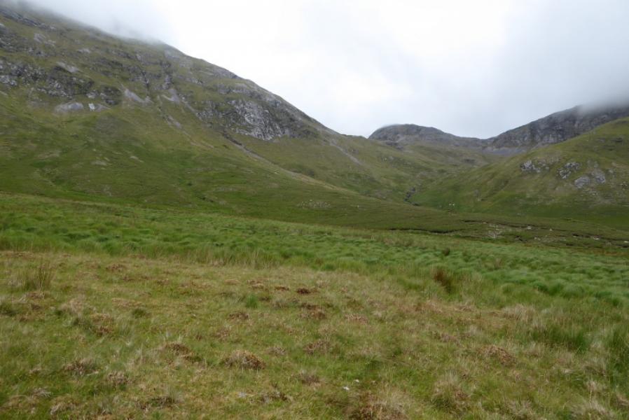
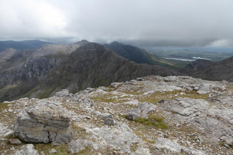
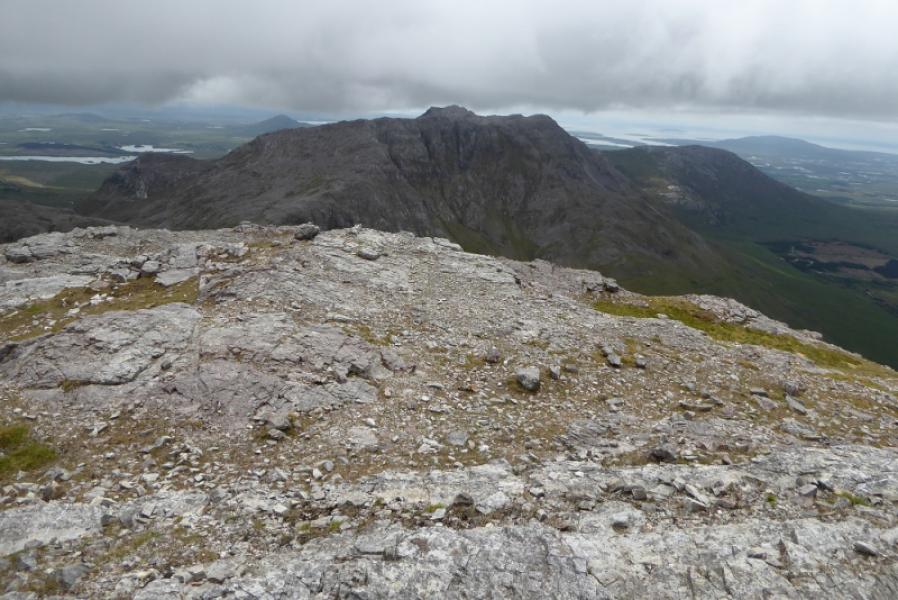
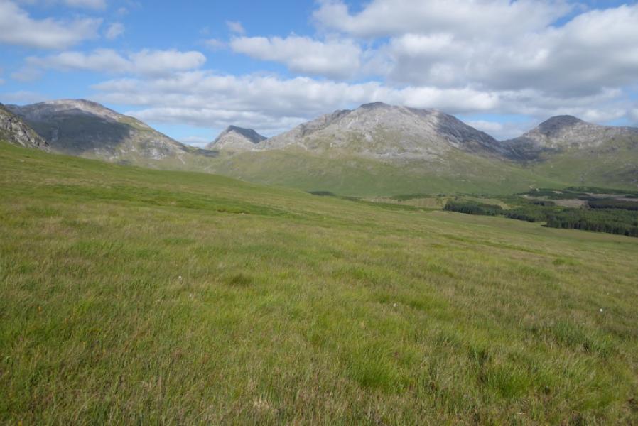
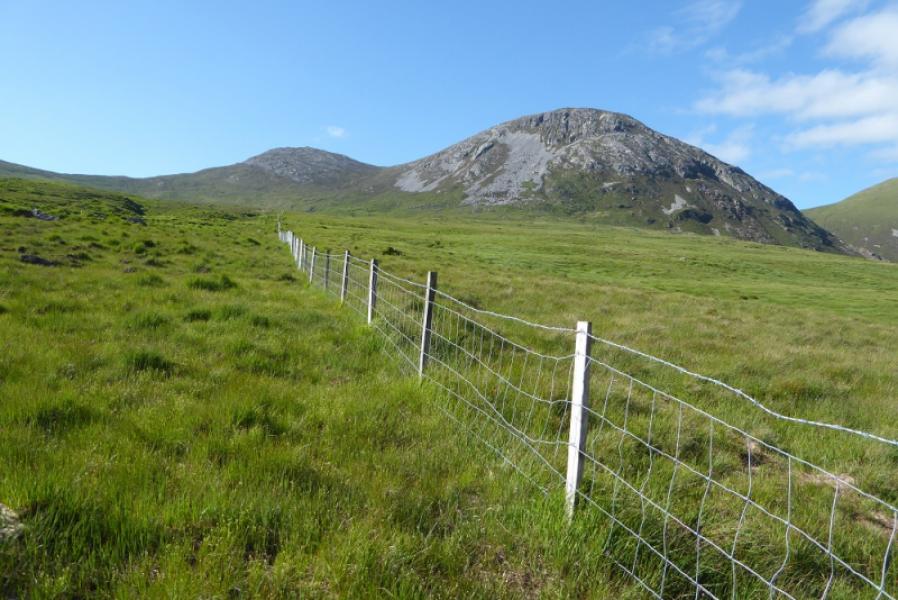
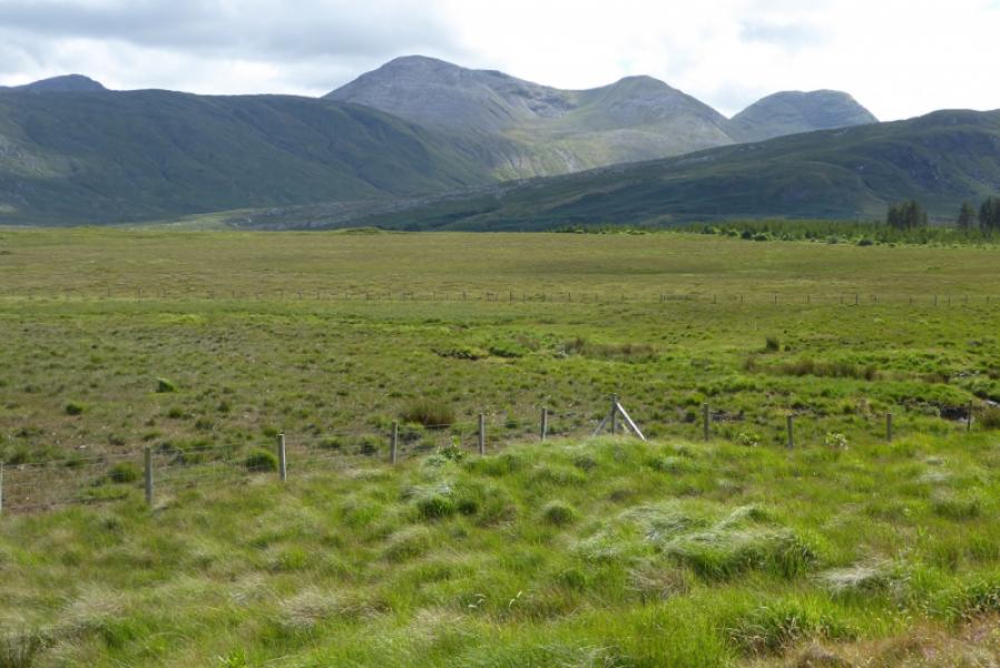
This is part of the famous 12 Bens of Connemara. It is a strenuous round but not as tough as the main horseshoe from Benlettery Hostel. There is very little rock to negotiate but there are some steep grassy slopes especially on the ascent of Benbaun and Muckanaght. In the glen, it can be quite boggy so this walk is best done in a dry spell which will also make river crossings very easy. A barbed wire fence has to be crossed twice so something to put over it for protection would be a good idea. Views are outstanding especially to the other Bens. This walk is best saved for a clear day although navigation would not be too taxing in mist.
Route
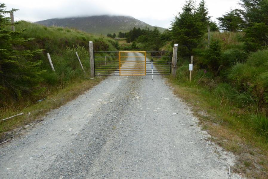
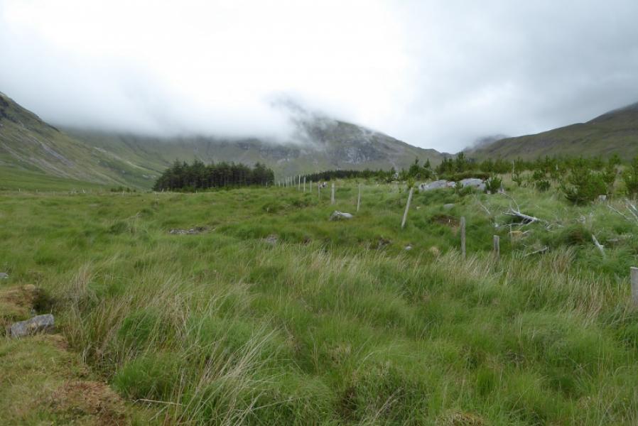
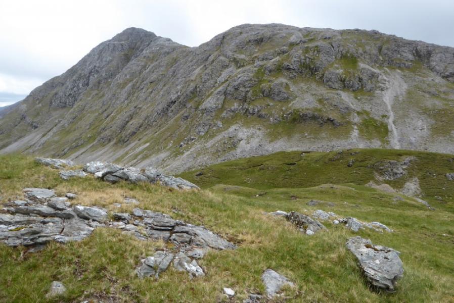
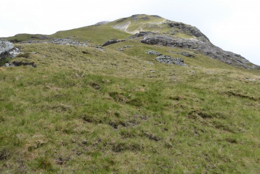
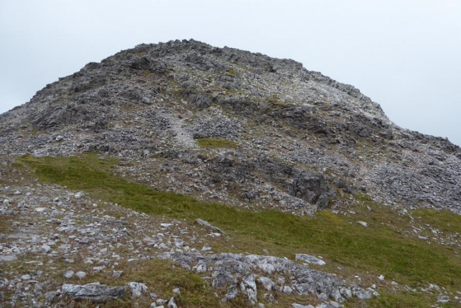
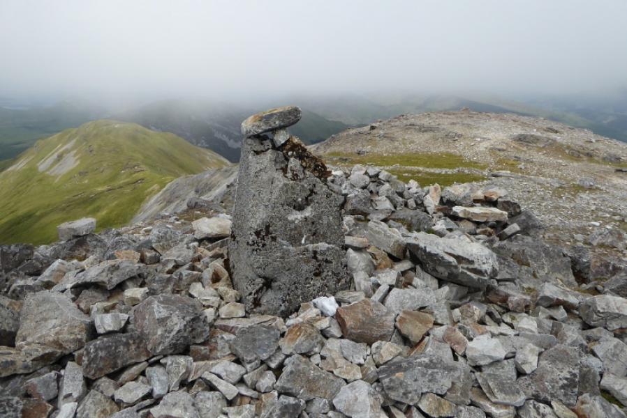
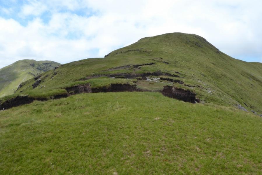
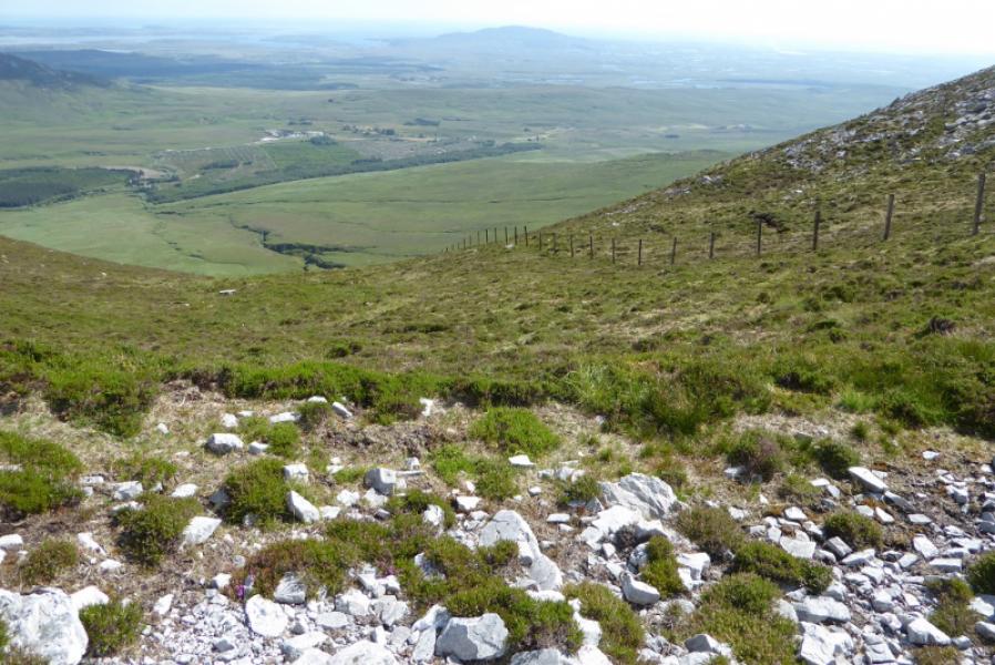
(1) Take the forestry track which starts just after crossing the river. A locked gate is soon reached which has to be climbed over. It is just over a metre high. Follow the track to its end about 4 km from the start. It winds around a lot but is quicker than a direct route over the rough ground. At the end of the track go straight ahead and walk through a firebreak (can be boggy). Soon reach a low fence and cross it. Now walk on the NW side some distance from the forest and where the ground seems best. The odd sheep track helps. Once past the forest, aim for the bottom of the S ridge of Benbaun, again avoiding marshy ground. The ascent to the foot of the ridge is moderately steep and a stream can be followed but the ground is not too bad. Once the foot of the ridge is gained, start up it. Strangely, there is no obvious path so weave around for the easiest ground. There is one very steep grassy/scree section but once above this, the gradient eases and a path starts to appear which weaves easily through a rock band. Soon after, reach the broken trig point which is the summit of Benbaun, 729 m.
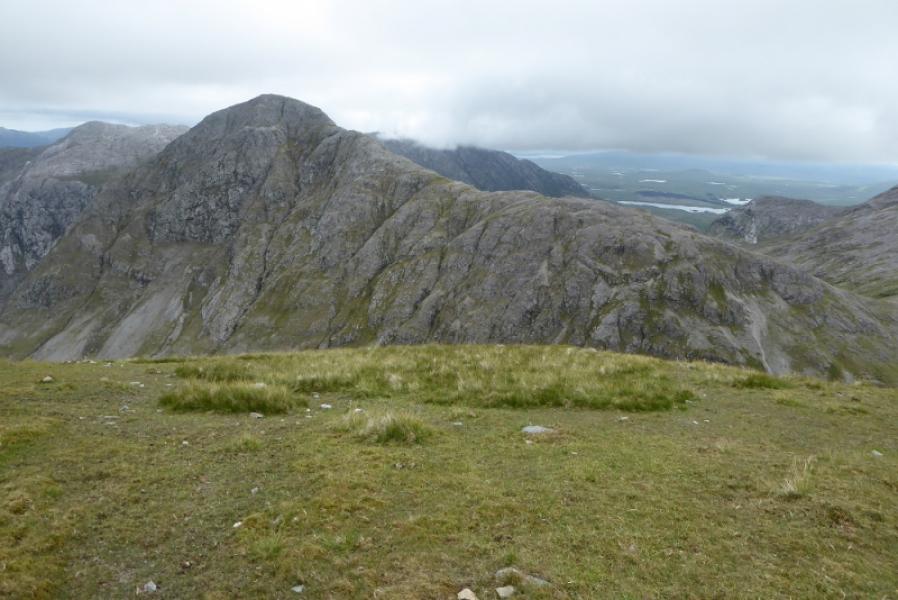
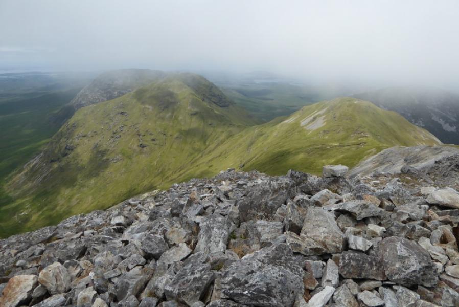
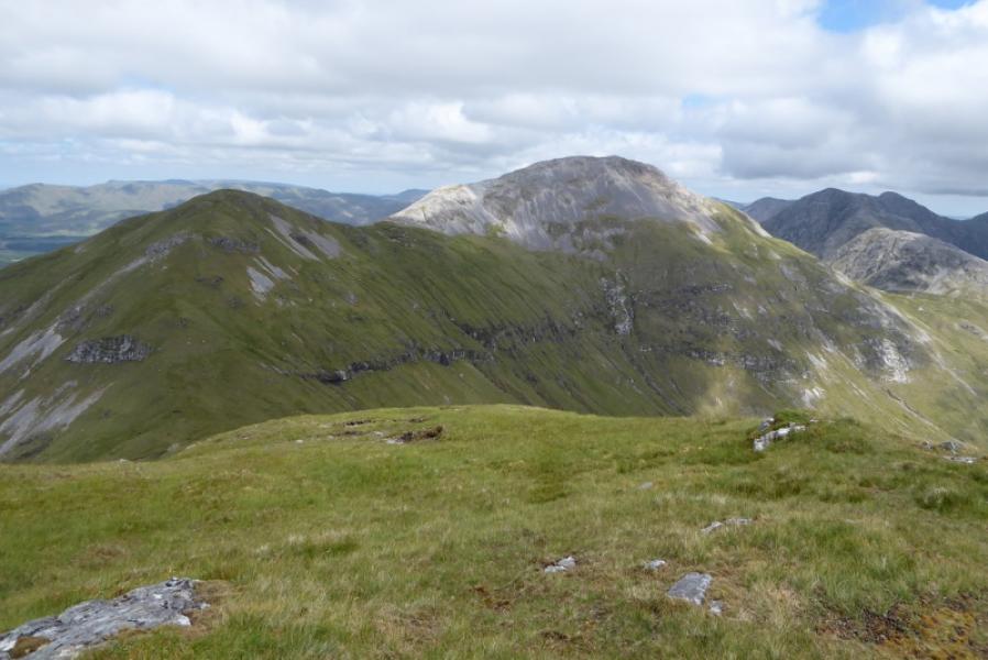
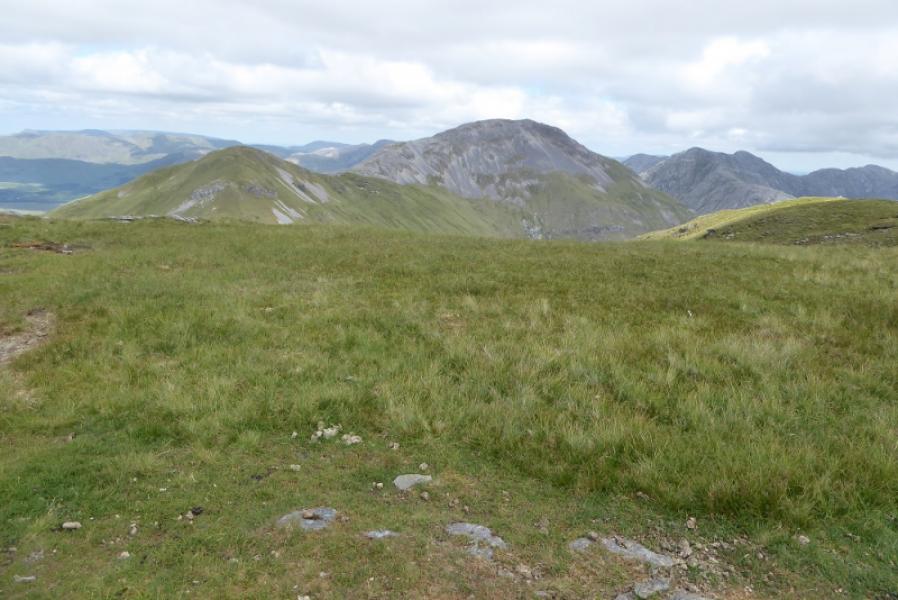
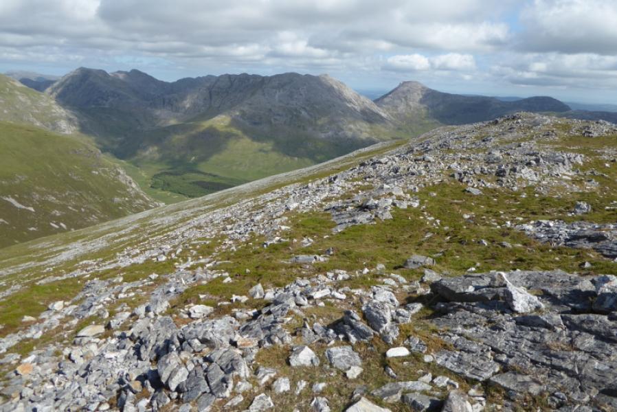
(2) Head roughly N to the lower cairn then start descending the fairly well defined WNW ridge which has no real difficulities. Reach a grassy col and ascend up the other side on steepish grass to reach a grassy plateau where a small cairn marks the summit of Benfree, 638 m.
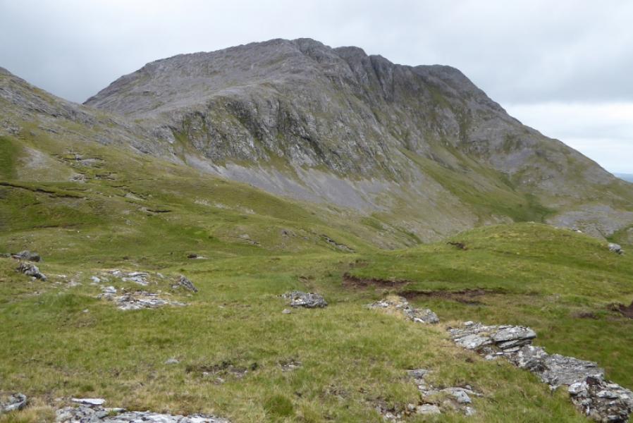
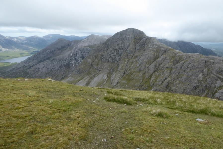
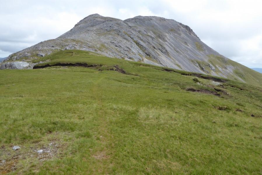
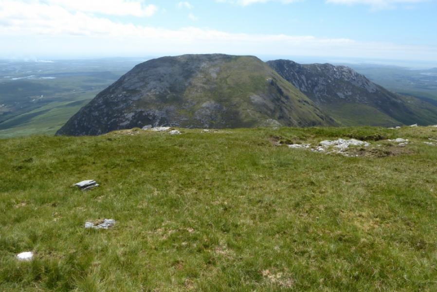
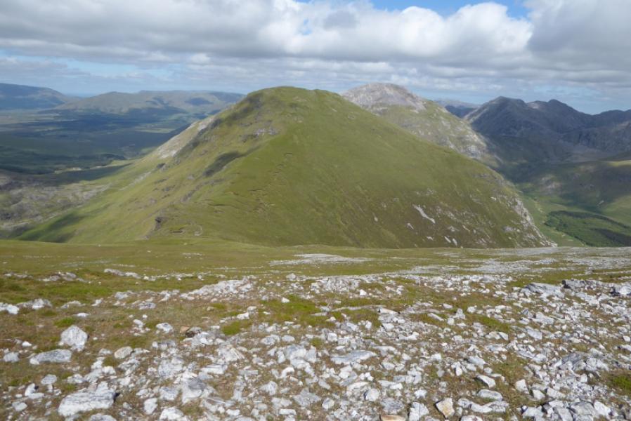
(3) Descend on similar ground, W then SW, to another rgrassy col then start the long and very steep ascent up the other side. Eventually, some outcrops re reached which give reassurance on the steep ground. Soon after the gradient eases and a medium cairn is reached which is the summit of Muckanaght, 654 m.
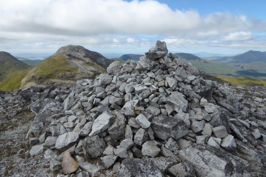
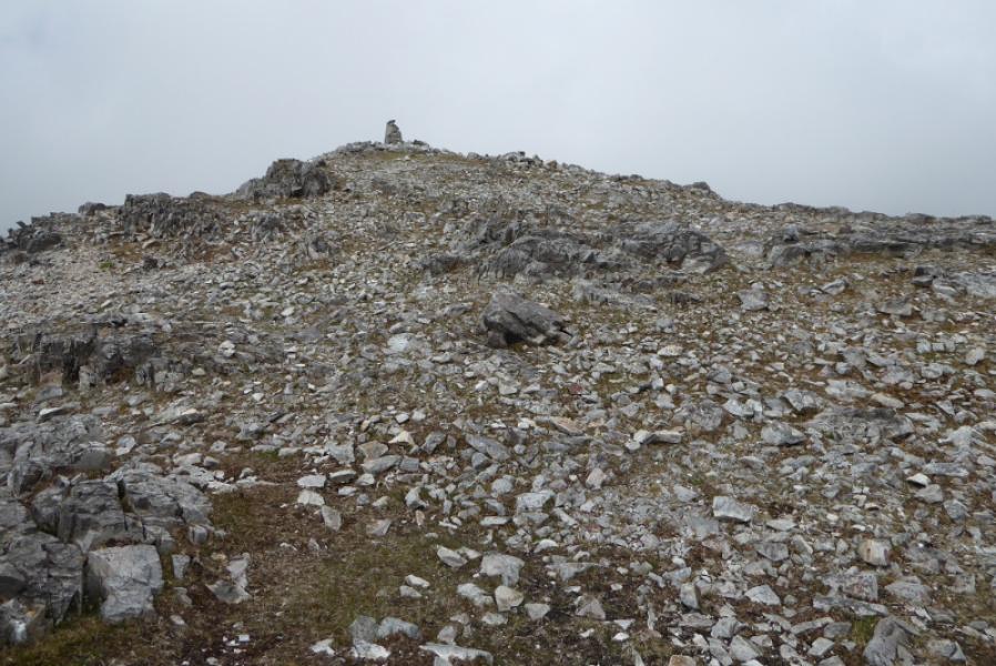
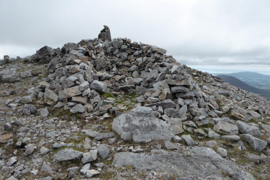
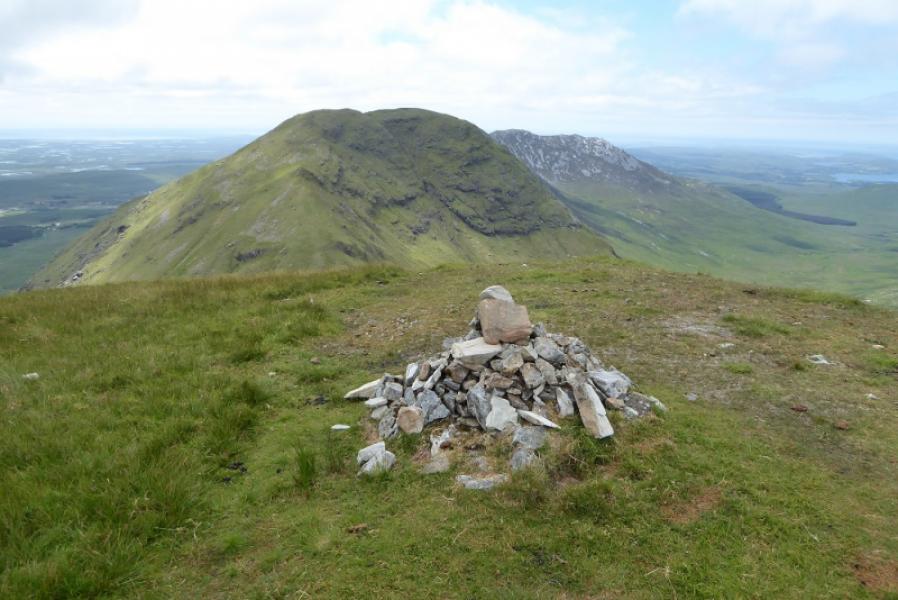
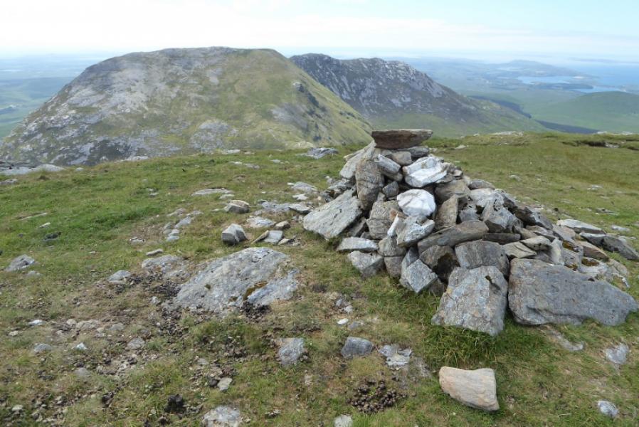
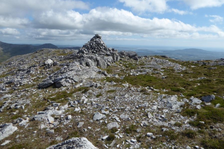
(4) Descend roughly W, not quite as steeply as the ascent to reach another grassy col where a long continuous ascent leads to the crest of Bencullagh. The highest part is rocky and a large cairn marks the summit of Bencullagh, 632 m.
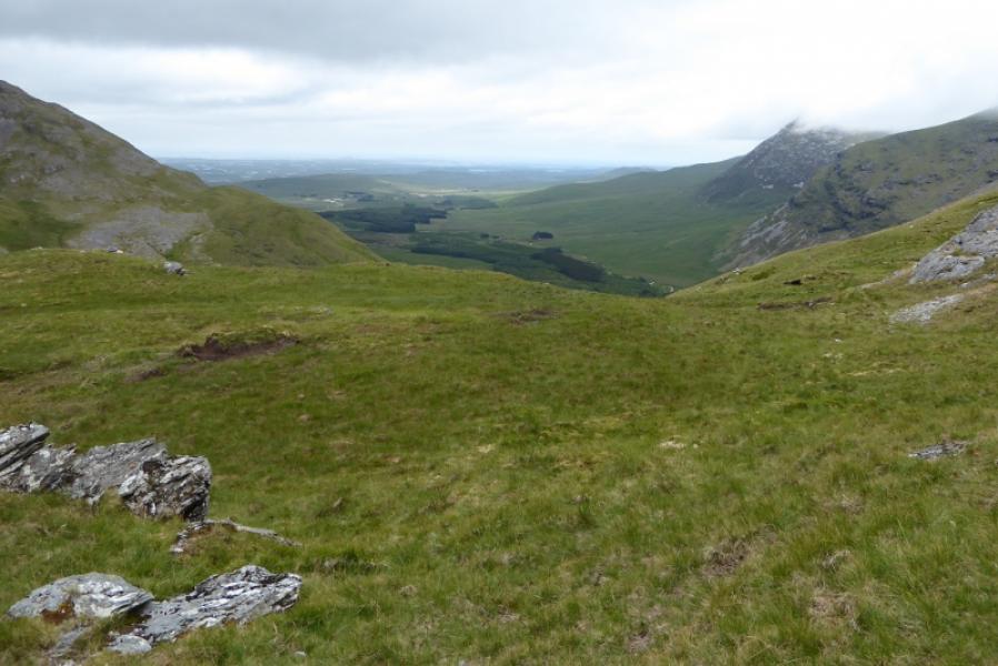
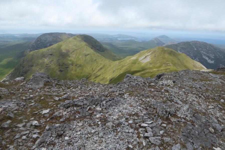
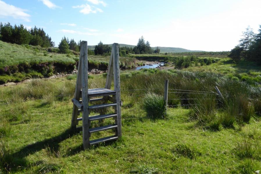
(5) Continue along the crest and descend to the next col where a fence descends S from the crest. Follow the fence down, swapping sides as needed to find better ground. Cross to the left side when the fence goes right near the bottom. Continue on a faint path to a stile by a sign. Follow the river, not easy in spate, to reach the track at the ford crossed earlier. Follow the track back to the start.
Notes
(a) This walk took place on 9th July, 2018.
Photos - Hover over photo for caption. Click on to enlarge. Click on again to reduce.