Get Lost Mountaineering
You are here: Ireland » West » Killarly Harbour to Westport
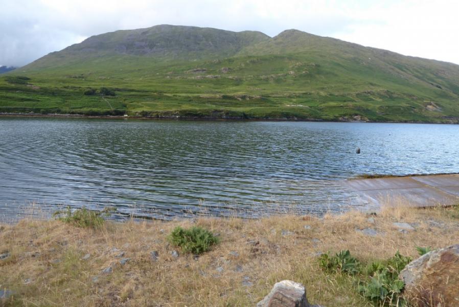
Ben Gorm & Ben Creggan from N side of Killary Harbour
Ben Gorm & Ben Creggan from N side of Killary Harbour
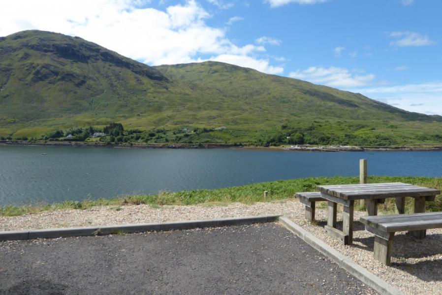
Start/Finish
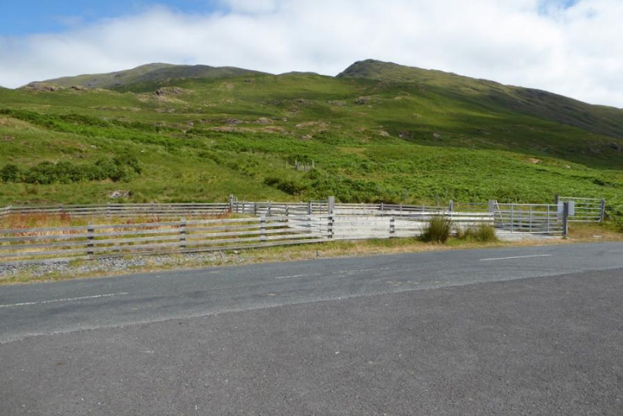
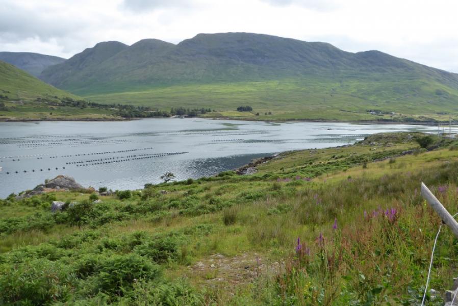
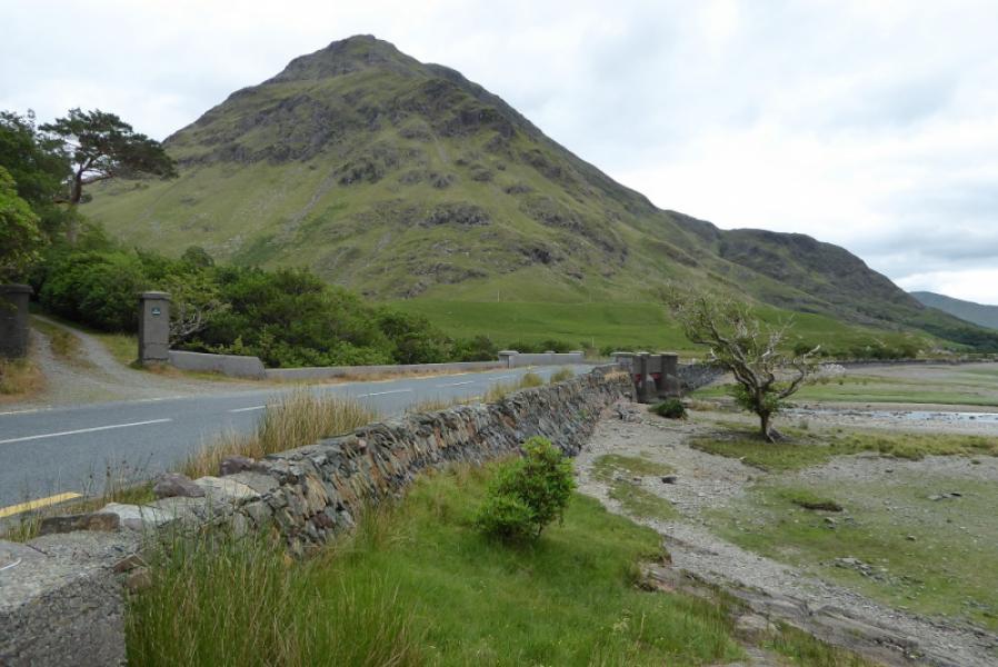
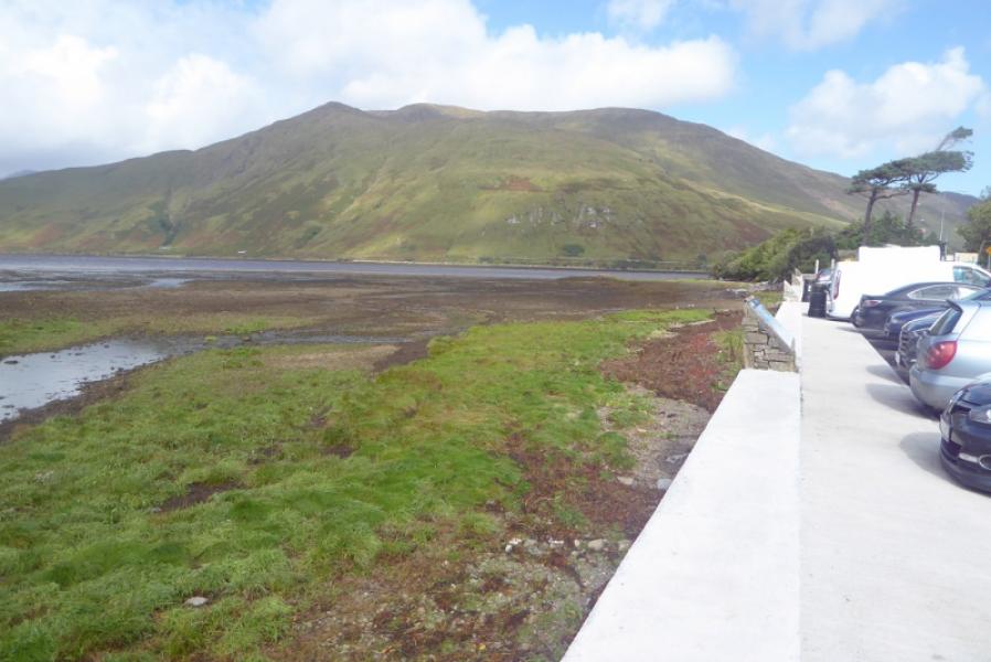
Car park (with picnic tables and cycle stands) on north side of Killarly Harbour roughly opposite the slipway for the fjord ruises. On the other side of the road is a small fenced off area. This is roughly 4 km/2.5 miles from the head of the fjord on the road from Leenane/Leenaun and Louisburgh.
Distance/Time
11 km. About 5 – 6 hours.
Peaks
Ben Gorm, 700 m, L 862 652.
Ben Creggan S Top, 687 m, L 858 661.
Ben Creggan, 693 m, L 857 666. (Irish National Grid System)
Irish OS Discovery Series Map 37 (1:50000)
Introduction
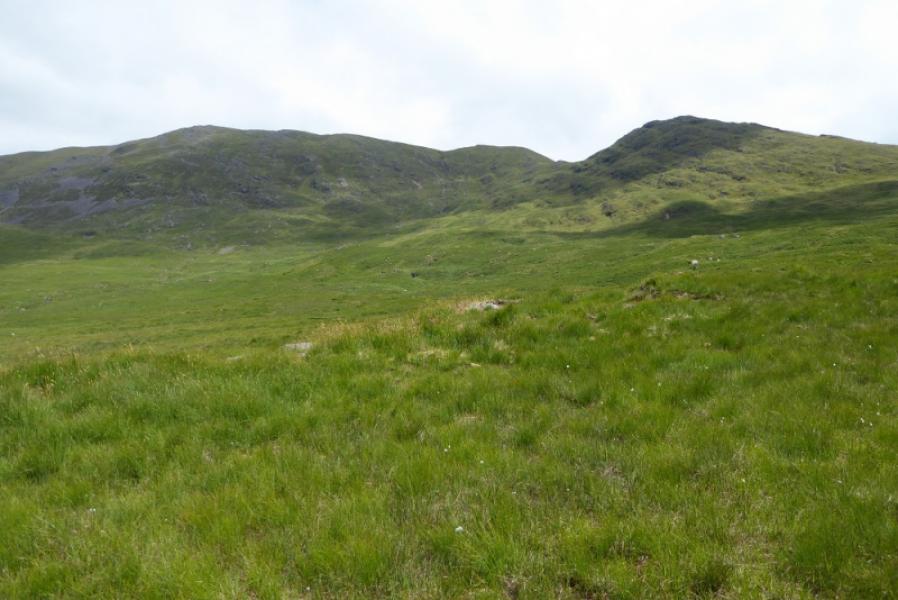
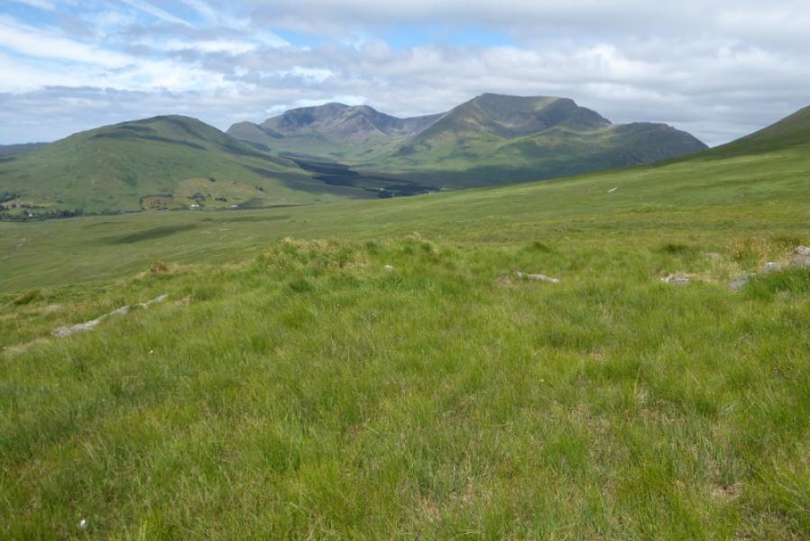
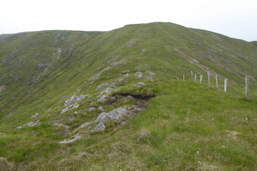
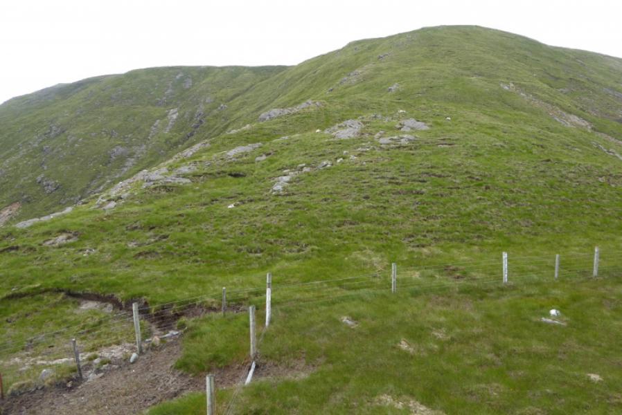
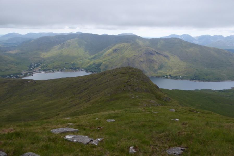
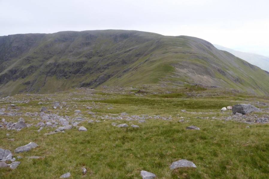
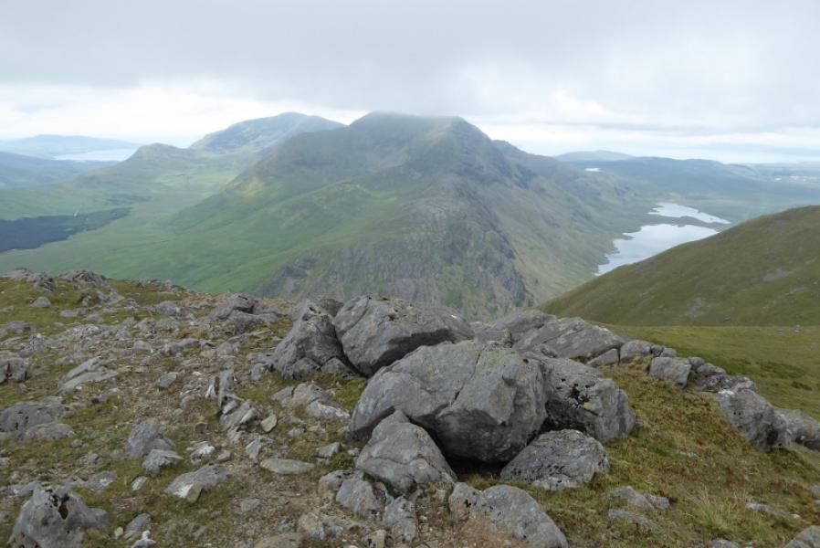
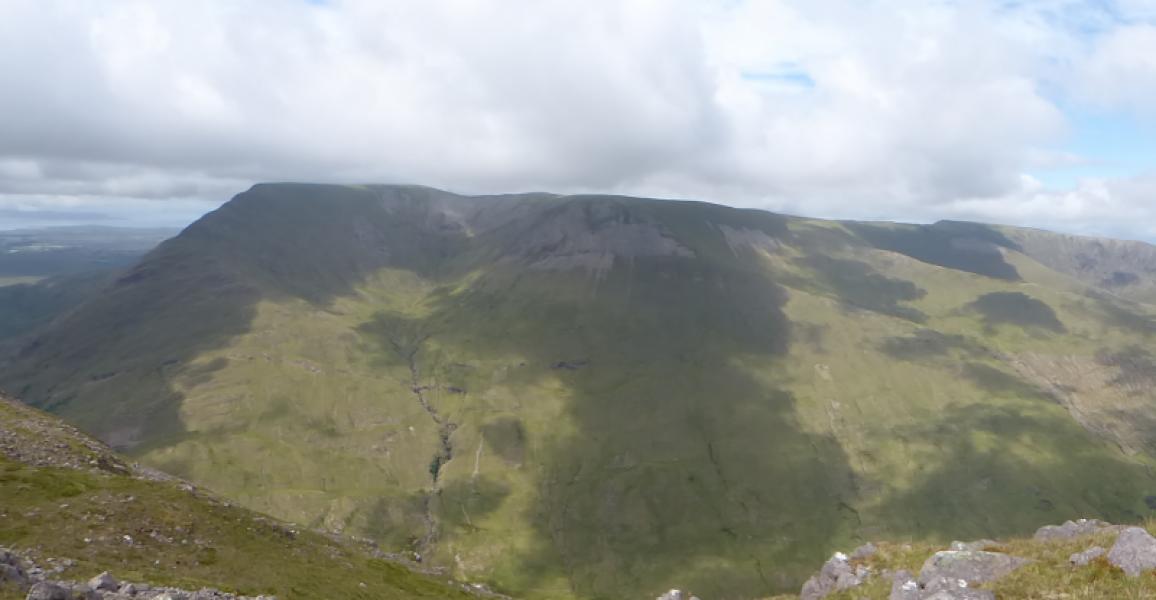
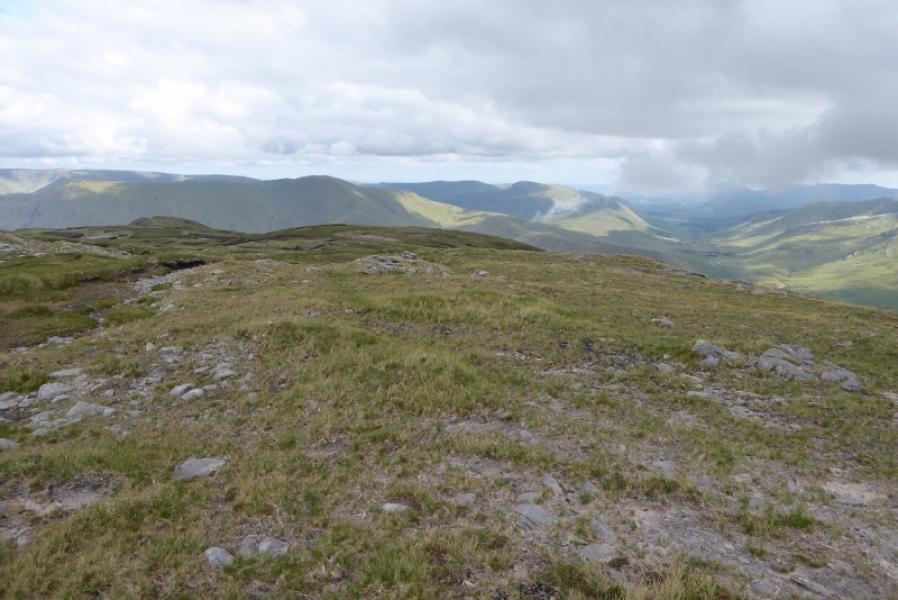
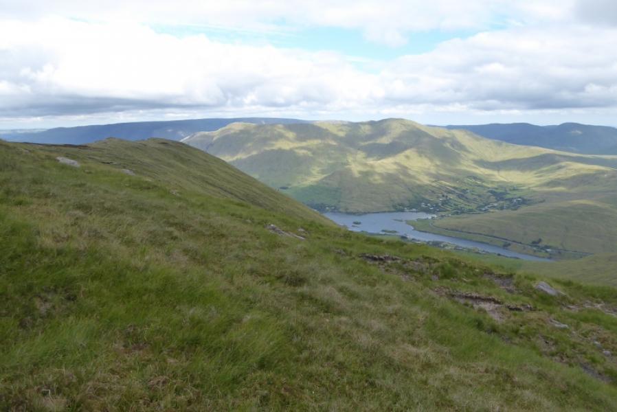
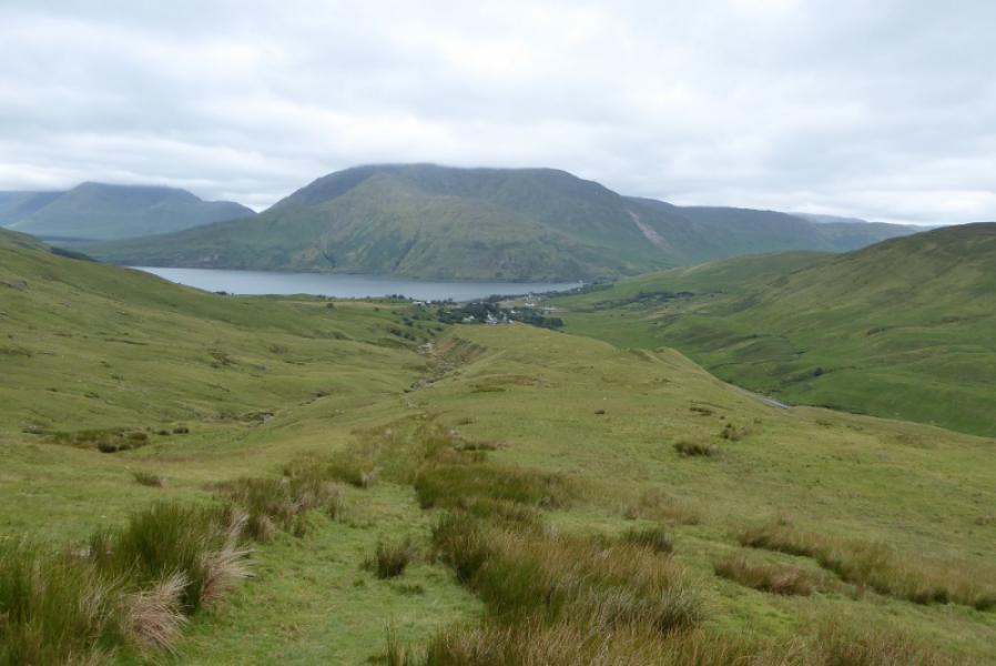
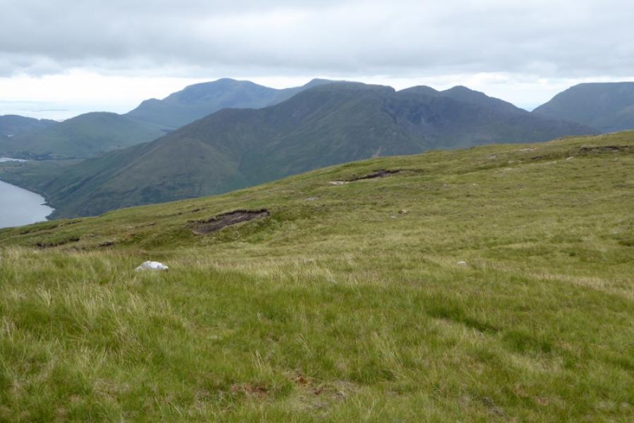
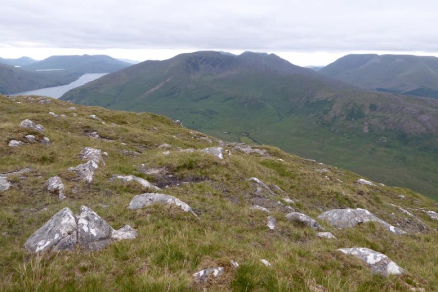
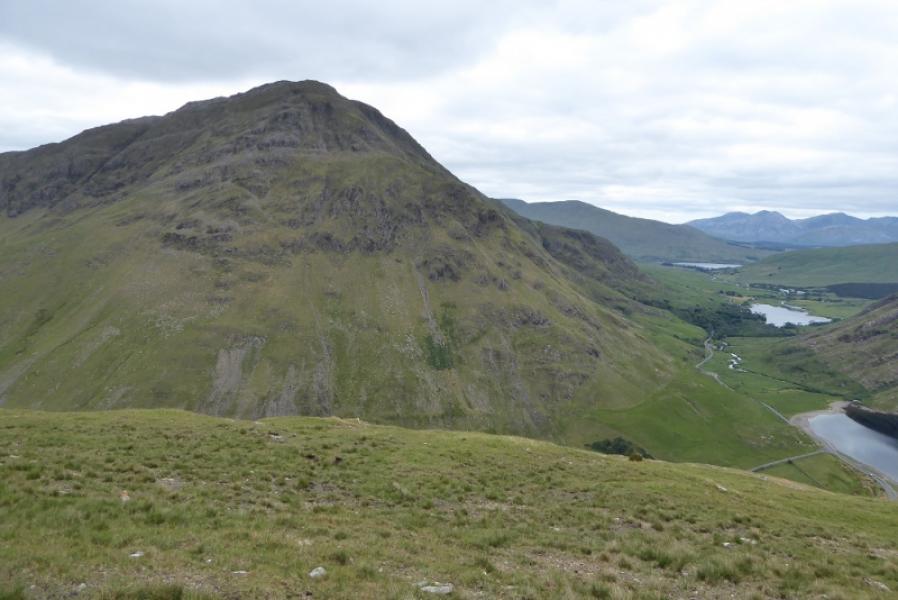
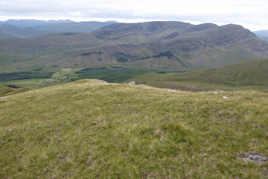
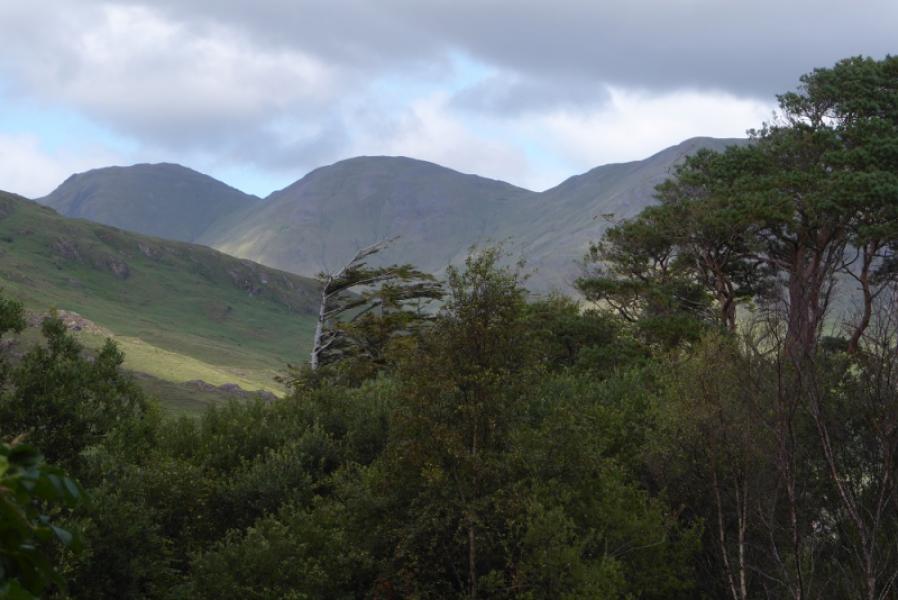
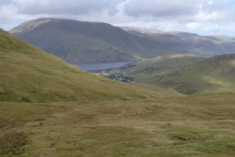
This is another tough walk in South Mayo with a steep ascent on grass and re-ascents over two of the summits. The views are excellent in all directions but especially to Ben Lugmore and the Sheefry Hills. As is usual in this area, there are few paths on the hills. Navigation may be tricky in mist especially the ascent of Ben Gorm from the road and the descent back later. A barbed wire fence has to be climbed over so you want to go prepared for that.
Route
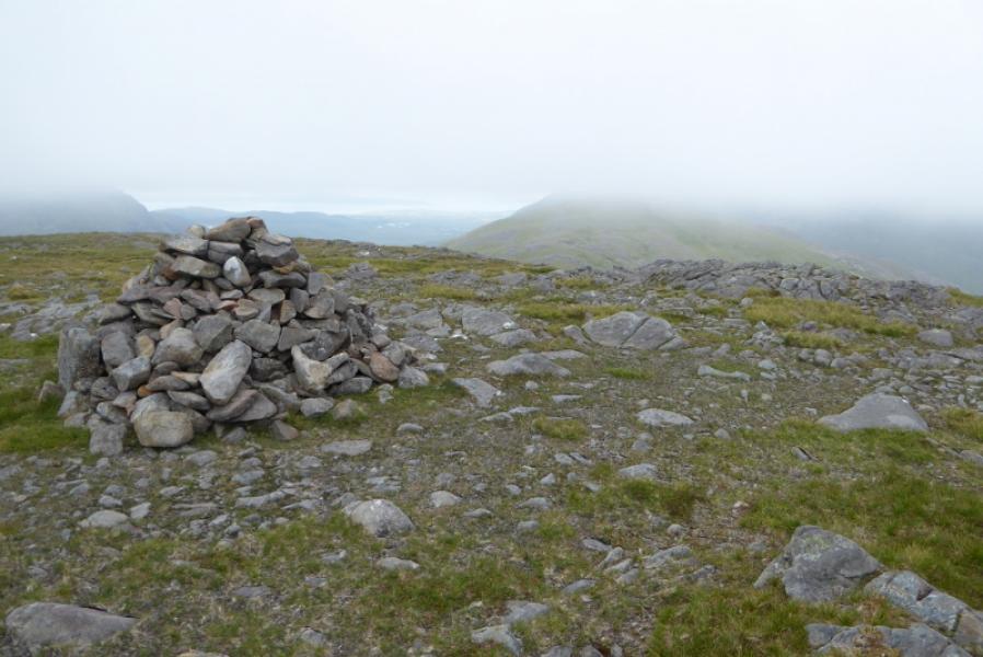
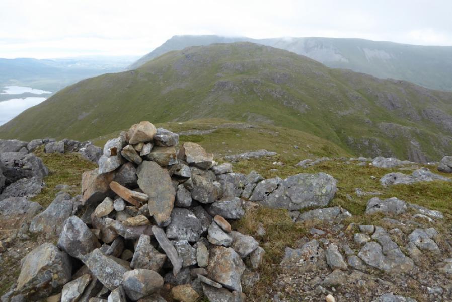
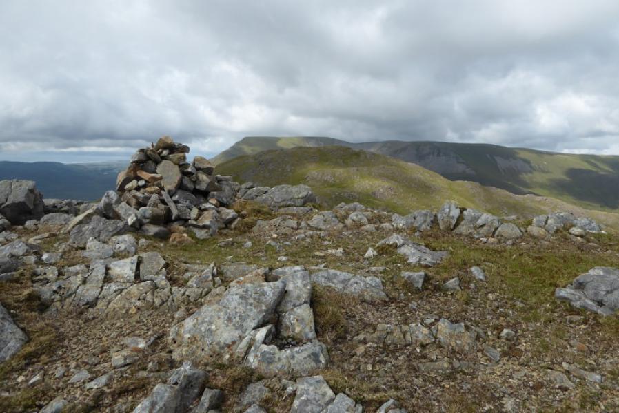
(1) Cross the road and go up the left side of the enclosure; there is a faint path. Follow this until it runs out then start picking a way, roughly NE, up the grassy slopes. The ground is thick grass and bare patches so progress will not be too arduous. Keep picking a way up until the S ridge is joined which has a fence on it although easier ground is often to the left. Go over a minor top and descend a little to where the fence meets another fence with barbed wire on top. Climb over this and continue up the steep S ridge. When the gradient eases and a featureless plateau is reached, there is a large cairn. The summit is roughly NW from here and about 700 m over ground which would normally be boggy. Reach the large cairn which marks the summit of Ben Gorm, 700 m.
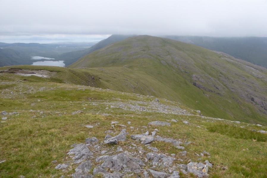
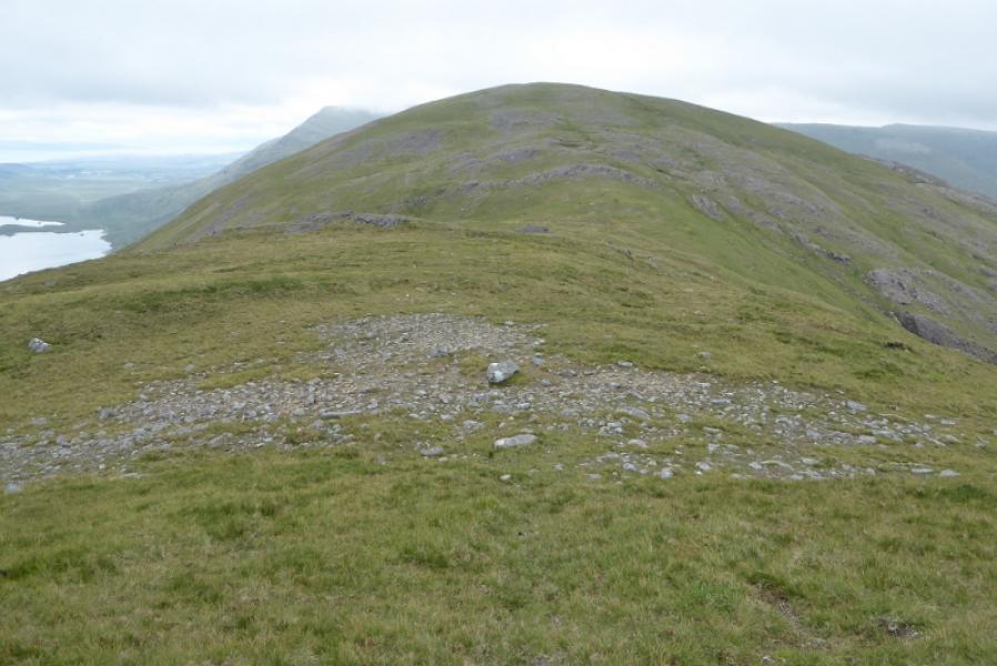
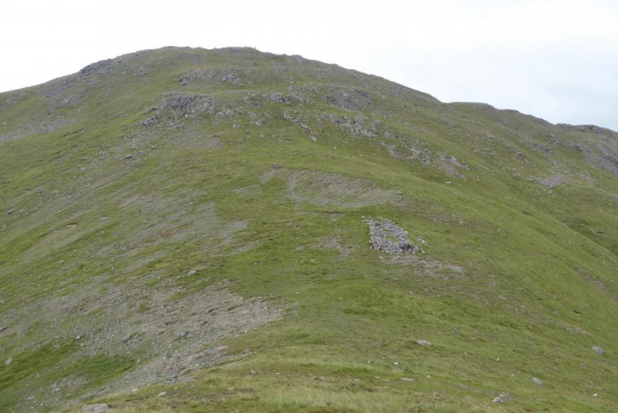
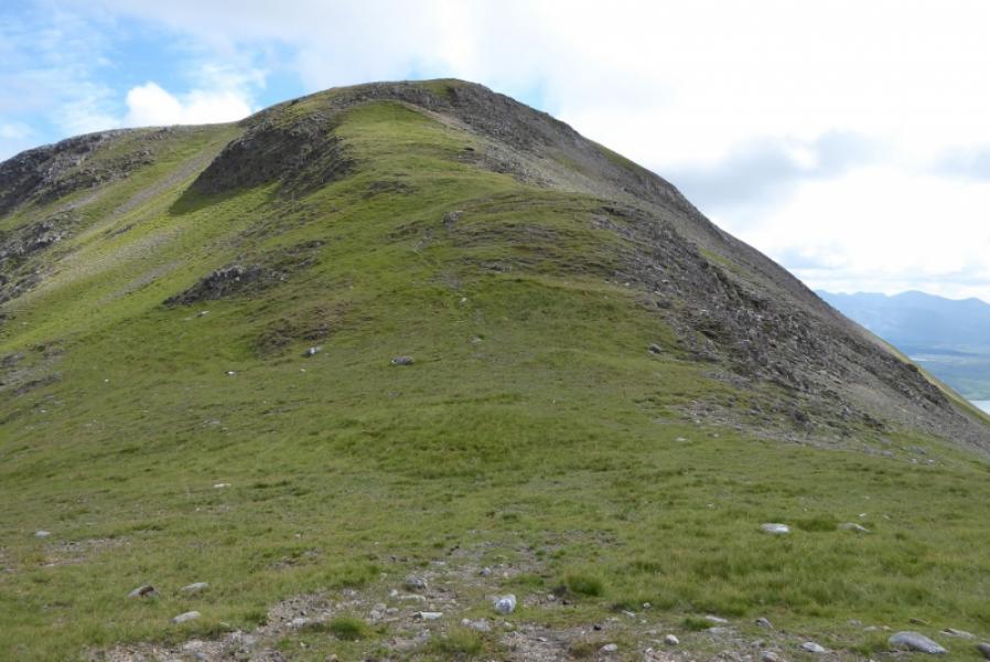
(2) Descend NW then N on a broad but well defined grassy ridge which leads across a grassy col then ascend mainly grassy slopes to the medium cairn which marks the summit of Ben Creggan S Top, 687 m.
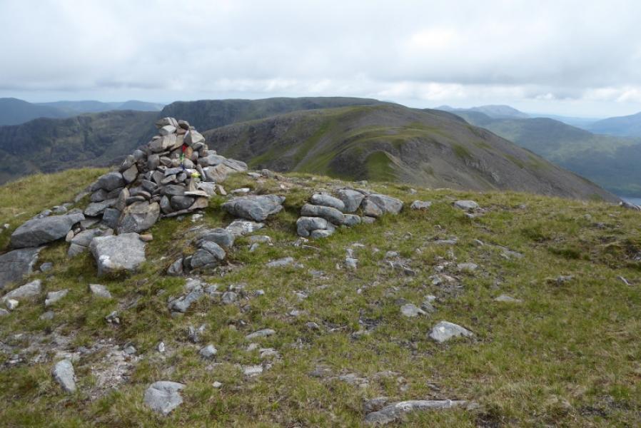
(3) Descend a similar ridge, roughly W of N, to a grassy col then a steeper and longer ascent, weaving around some small outcrops, to reach the large cairn which marks the summit of Ben Creggan, 693 m.
(4) Retrace the outward route being careful to locate the cairn at the top of the S ridge of Ben Gorm.
Notes
(a) This walk took place on 10th July, 2018.
Photos - Hover over photo for caption. Click on to enlarge. Click on again to reduce.