Get Lost Mountaineering
You are here: Ireland » West » Killarly Harbour to Westport
Mweelrea, Ben Bury & Ben Lugmore from Delphi Mountain Resort
Mweelrea, Ben Bury & Ben Lugmore from Delphi Mountain Resort
Start/Finish
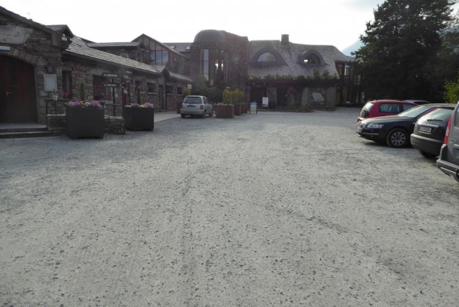
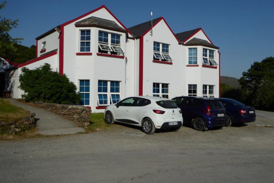
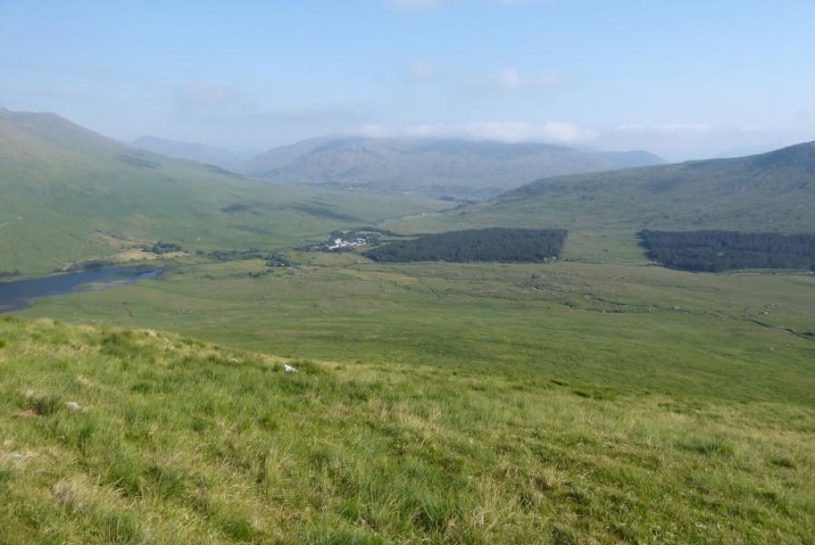
Delphi Mountain Resort which is on the R 335 road from Leenane to Louisburgh about a mile after the road turns north to leave the fjord side. It is big enough to spot but if you have crossed the river, going north, you have passed it!
Distance/Time
16 km. About 6 – 7 hours.
Peaks
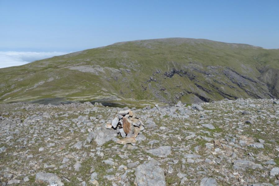
Mweelrea, 814 m, L 789 668.
Ben Bury, 795 m, L 802 682.
Ben Lugmore W Top, 790 m, L 806 676.
Ben Lugmore, 803 m, L 811 673.
Ben Lugmore E Top, 793 m, L 815 672. (Irish National Grid System)
Irish OS Discovery Series Map 37 (1:50000)
Introduction
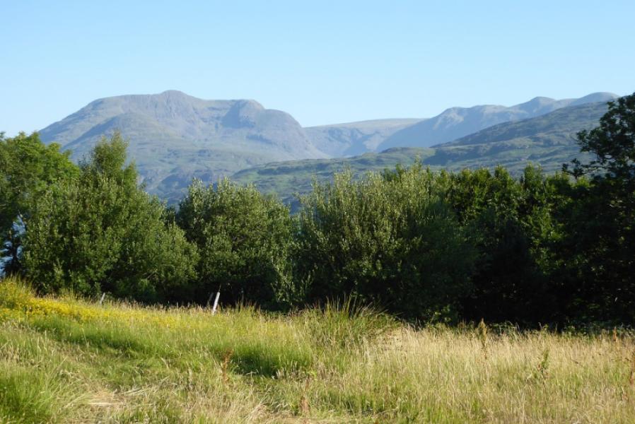
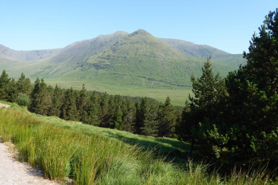
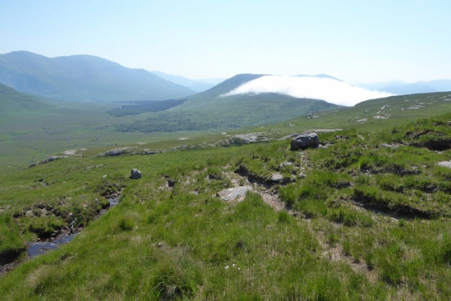
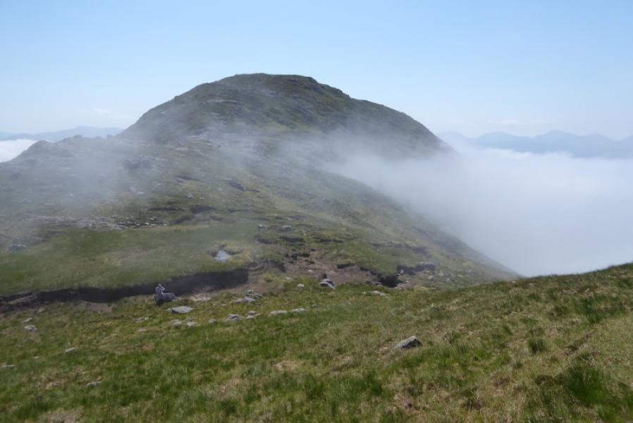
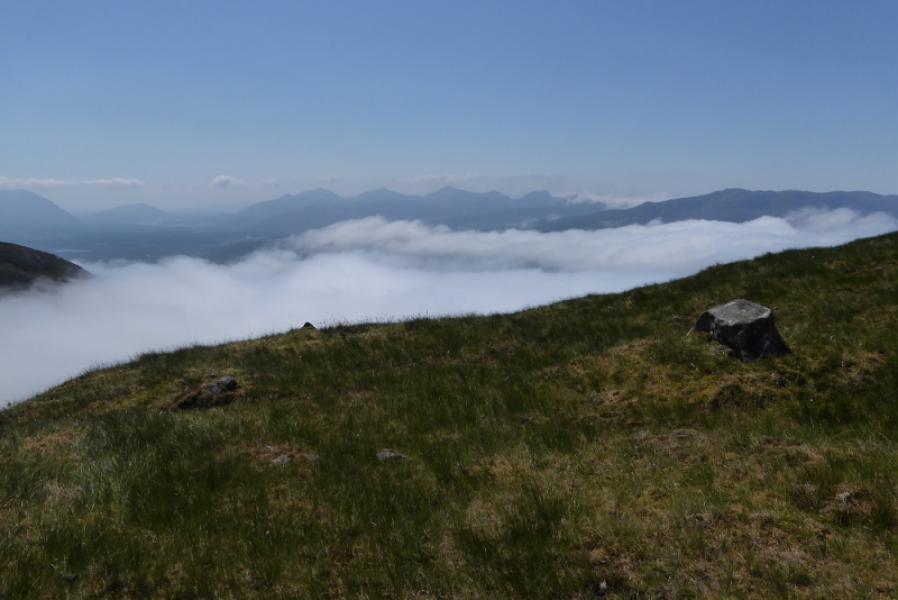
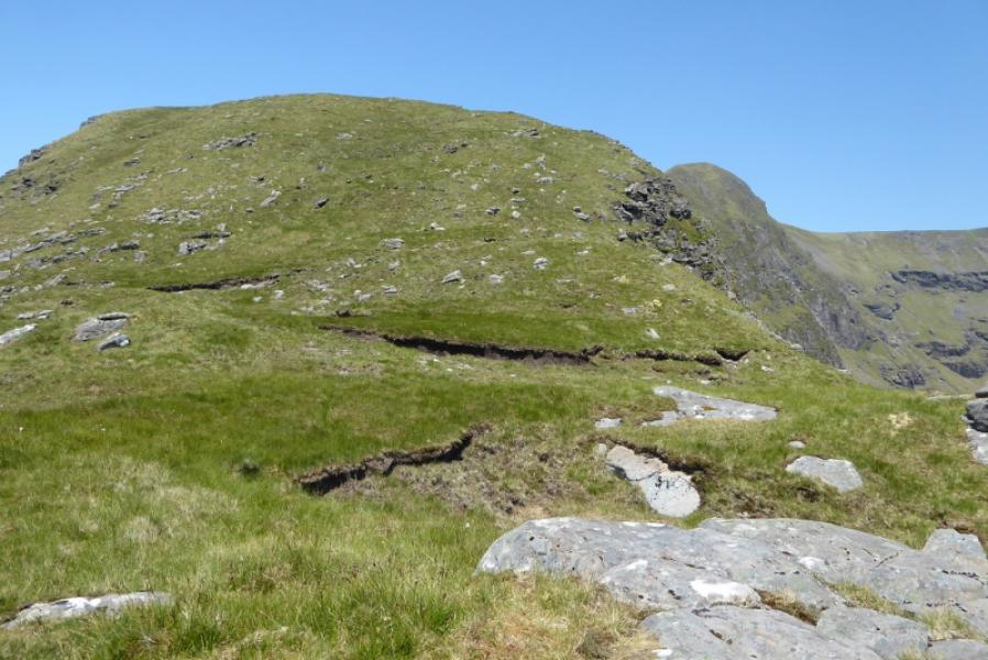
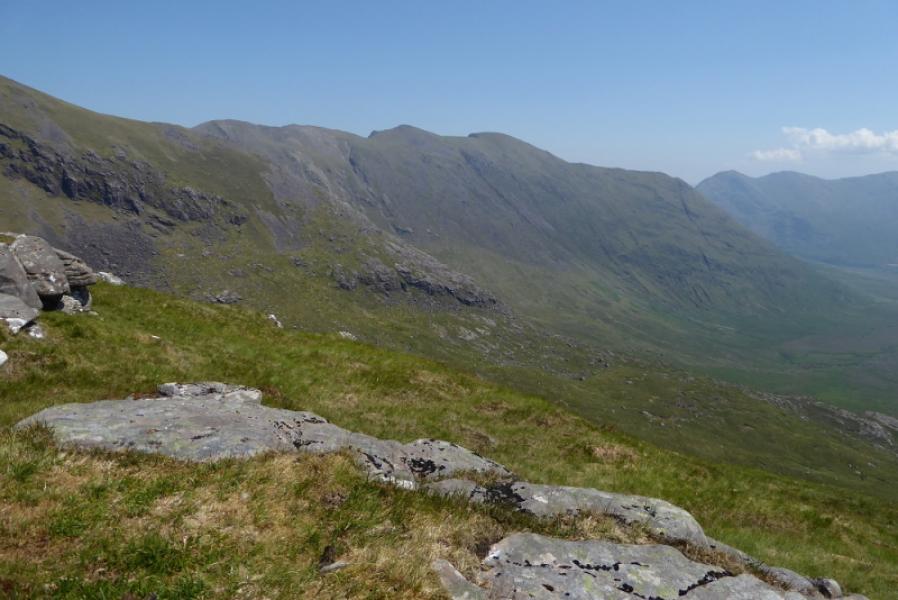
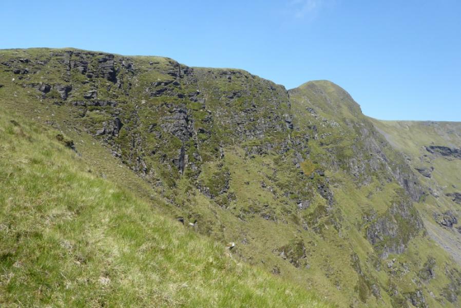
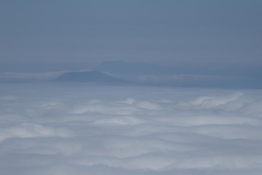
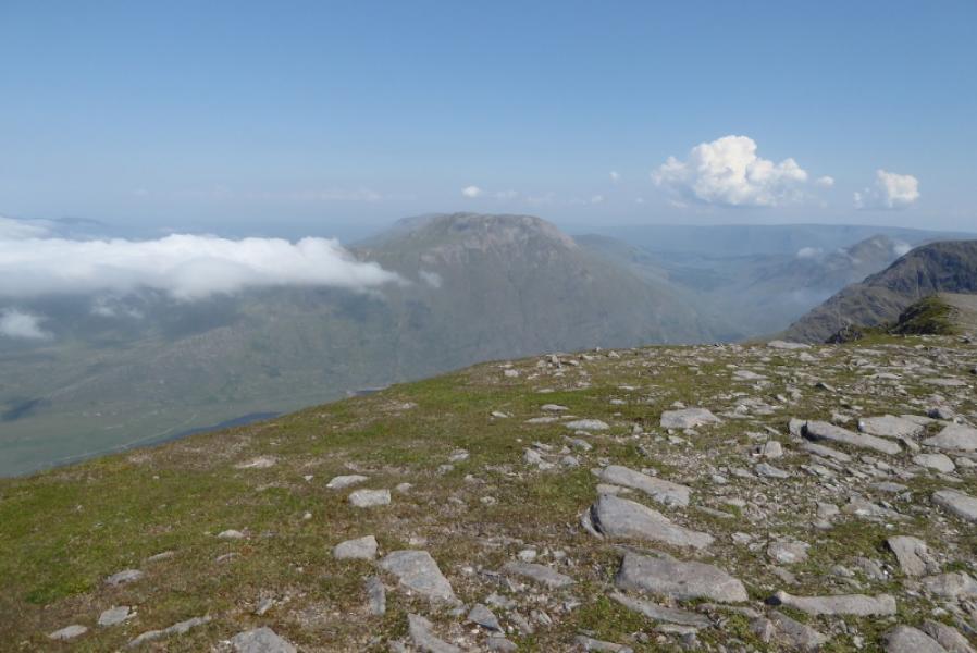
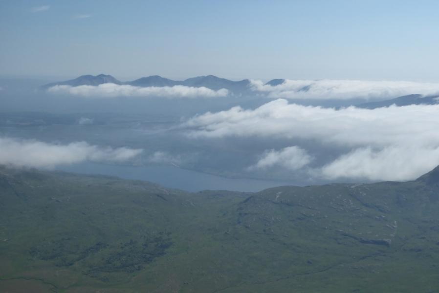
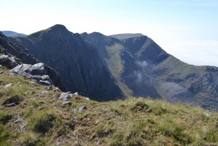
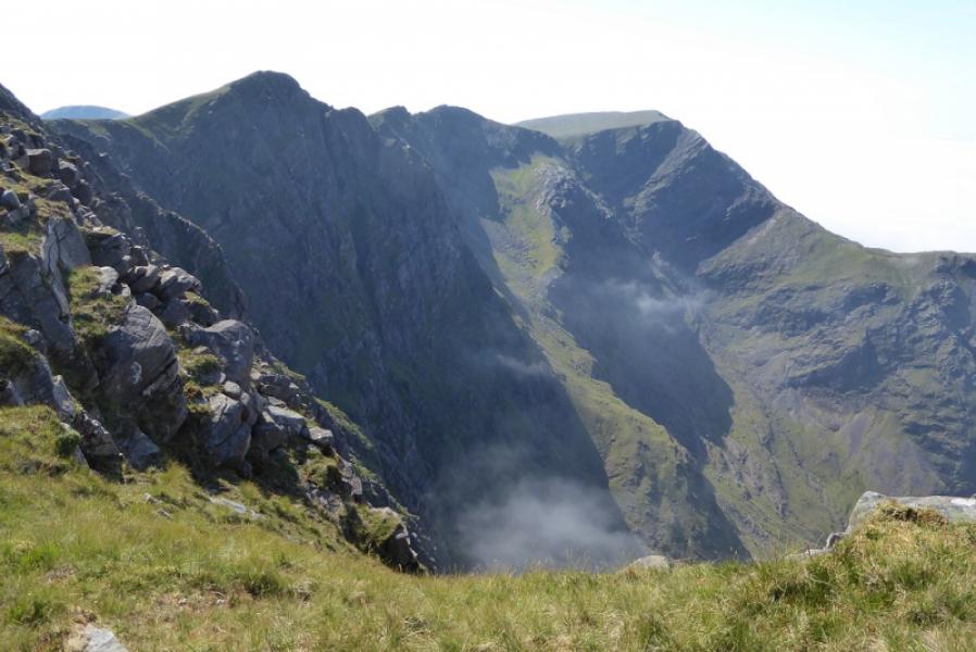
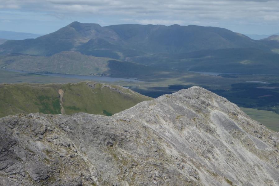
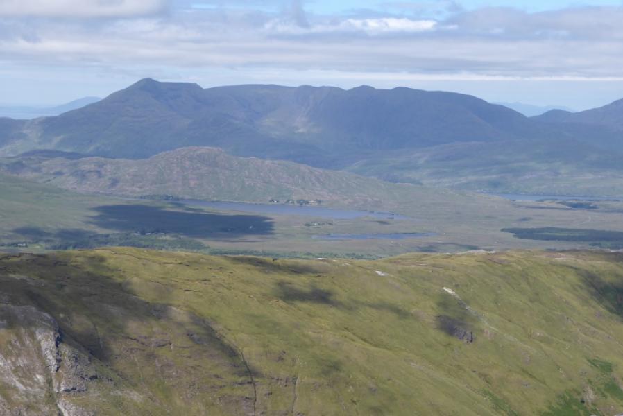
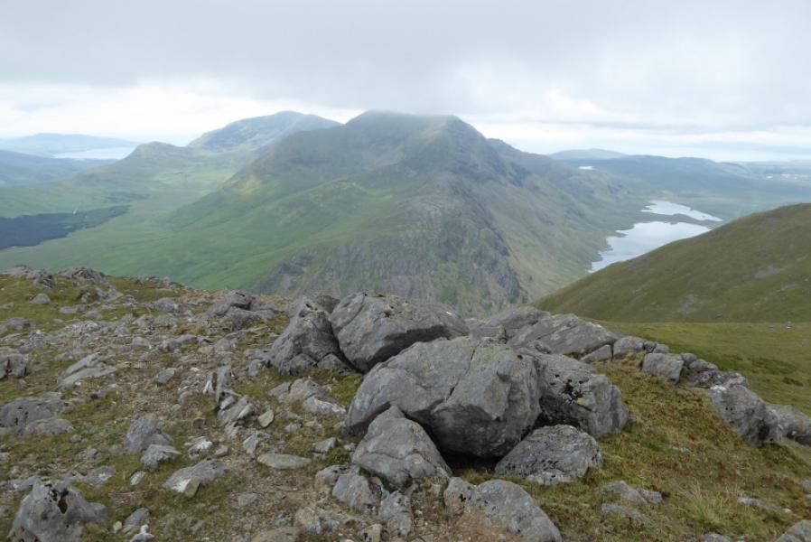
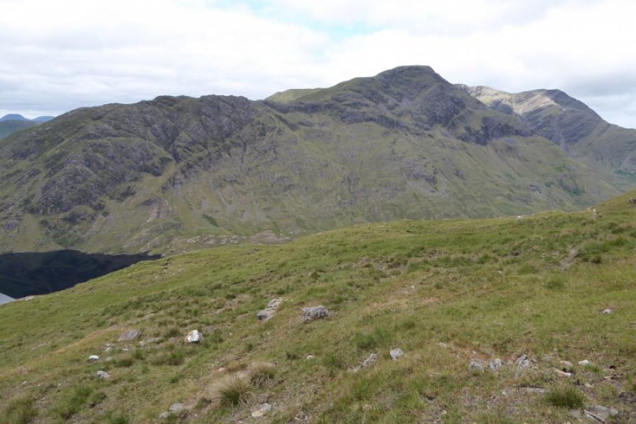
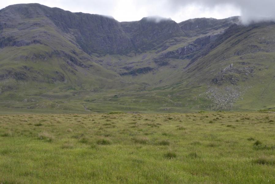
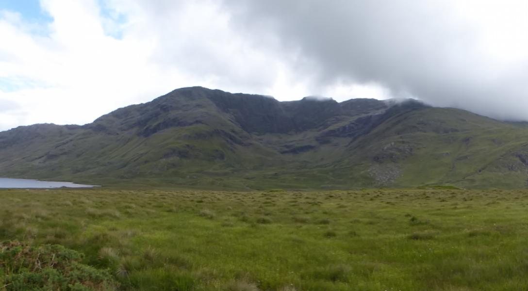
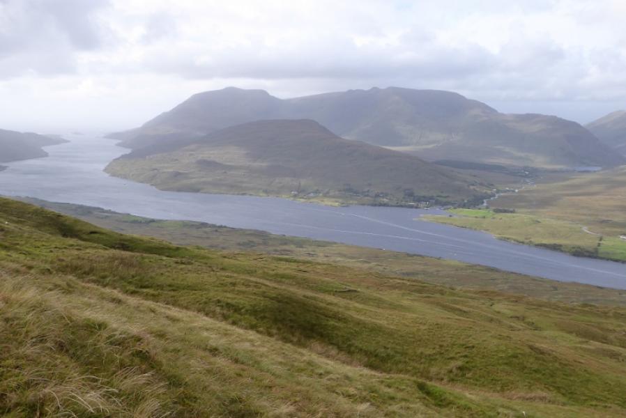
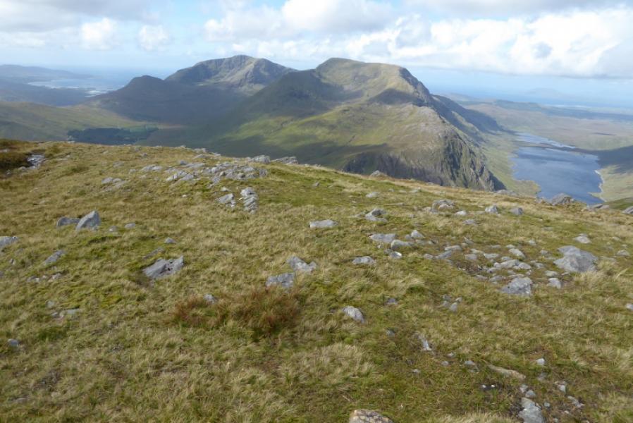
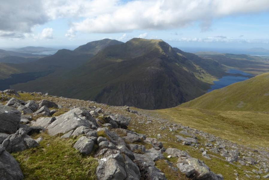
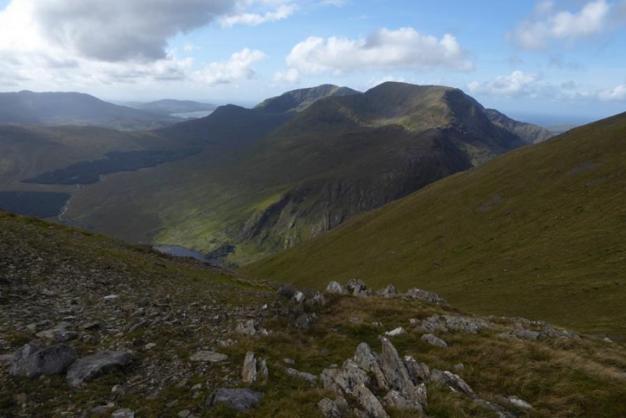
This is one of the toughest walks in Ireland. Do not underestimate it. The approach to Mweelrea can be exceptionally boggy once the end of the forest trail is reached. The lower descent off Ben Lugmore can also be boggy. It needs a sustained dry spell to dry up most of the bogs but then the grass can be quite deep. Much of the approach to the col between Pt 475 and Mweelrea is pathless. On a clear day, the views are outstanding and include the 12 Bens, Maumturk Mountains, Sheefry Hills and Croagh Patrick; islands will be seen if there is no sea mist – fairly common here! Ben Lugmore is a magnificent mountain with a narrow but easy crest and precipitous slopes on its NE side. Save these mountains for a clear and cool day at the end of a dry spell. The Owennaglogh River has to be crossed when almost back to the start. This will be very difficult in a wet spell but there is an alternative given below.
Route
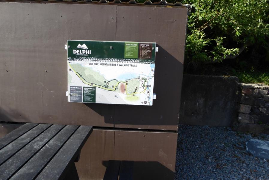
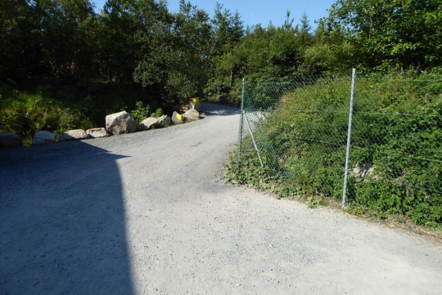
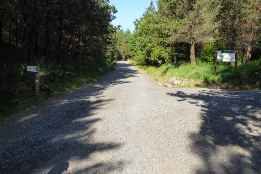
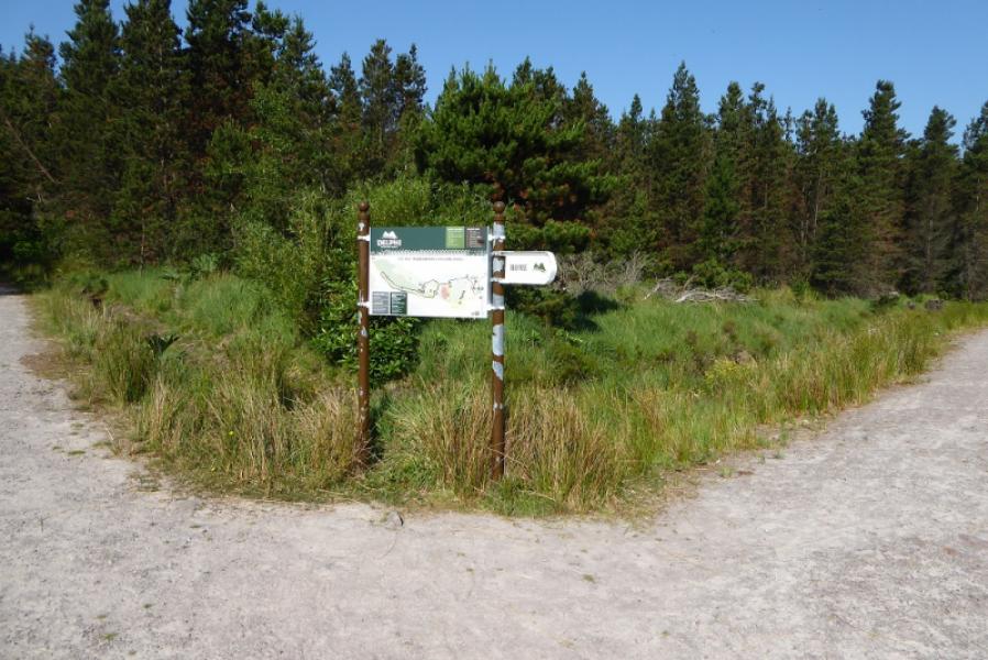
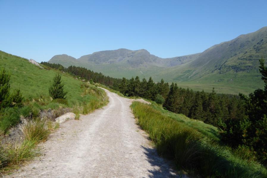
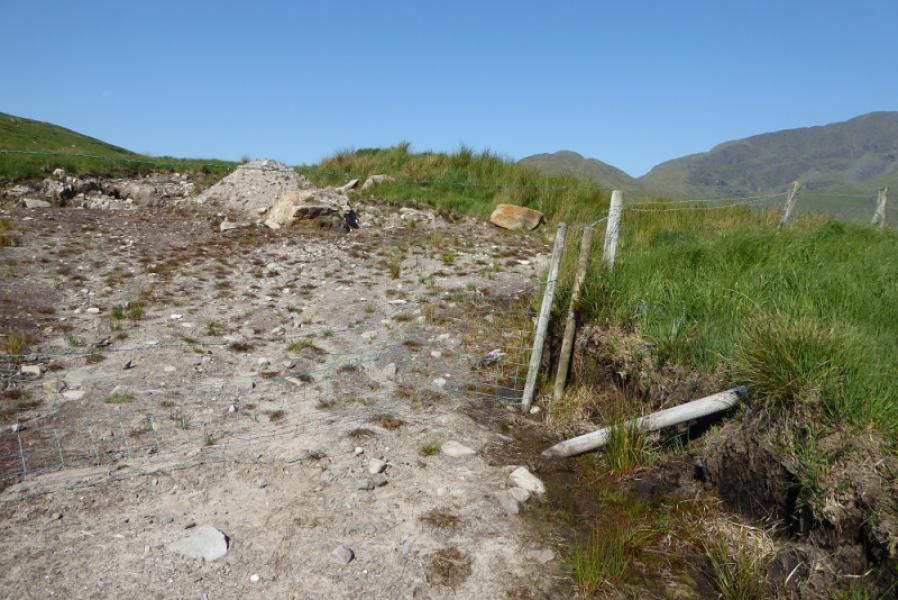
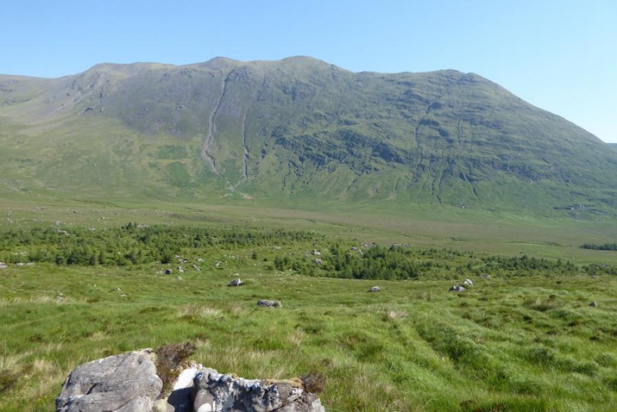
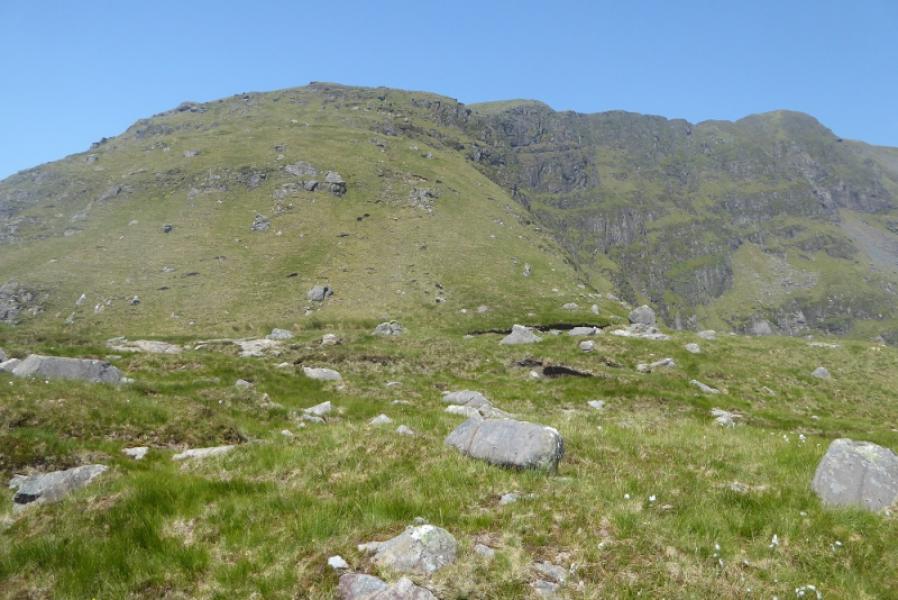
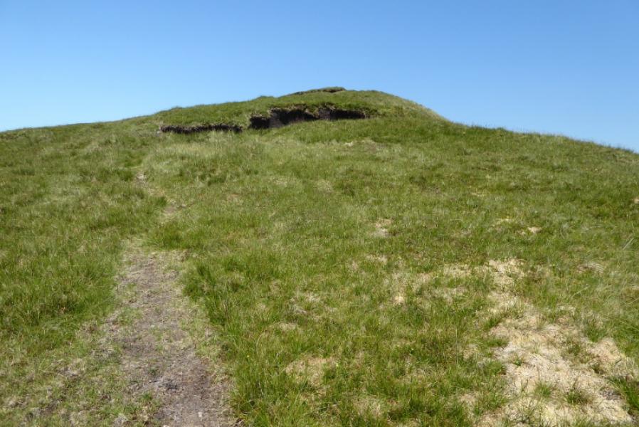
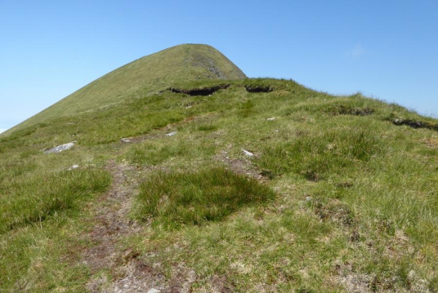
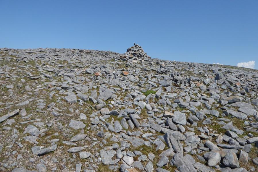
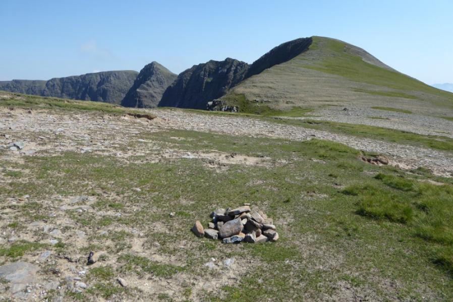
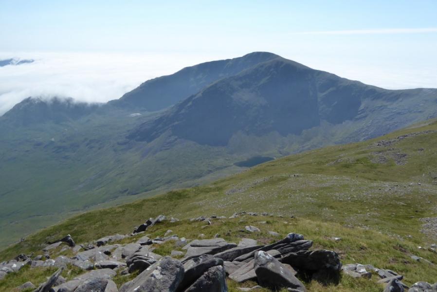
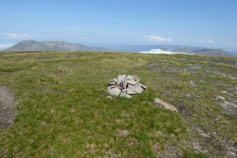
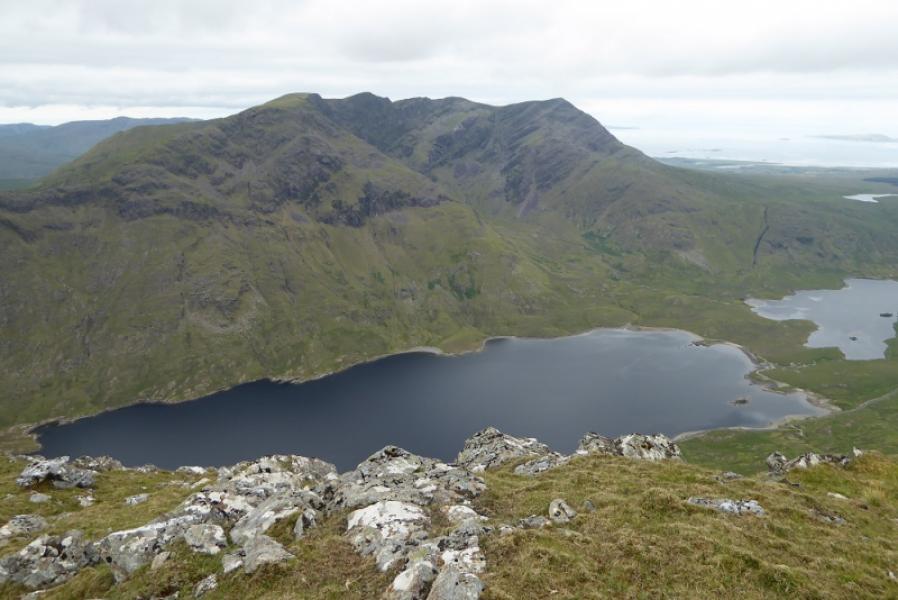
(1) From the Delphi complex, locate the forest trails map and go past the Adventure Centre where a path leads out on to a forest track. Turn left and follow the yellow markers – not too obvious to begin with. This leads through the first forest, descends almost to the river the ascends to behind the second forest. Follow the track until it bends back to Delphi then take a rough track which ascends to finish at a barbed wire fence. Cross over (no stile) then pick a way over fairly rough ground to a dip and cross another barbed wire fence then pick a way to go around the E side of Pt 475. Stay low to begin with but, later on, a stream is a reasonable guide. This can be left higher up to follow a grassy ill-defined ridge up to the col between Pt 475 and Mweelrea. Pick a way up the SE ridge, steepish in places with a path now and then. The SE ridge ends when it goes around a very steep sided gully – not well seen until past it. Join the S ridge and follow it up, better path, to the flat peaty top where a medium cairn is the summit of Mweelrea, 814 m.
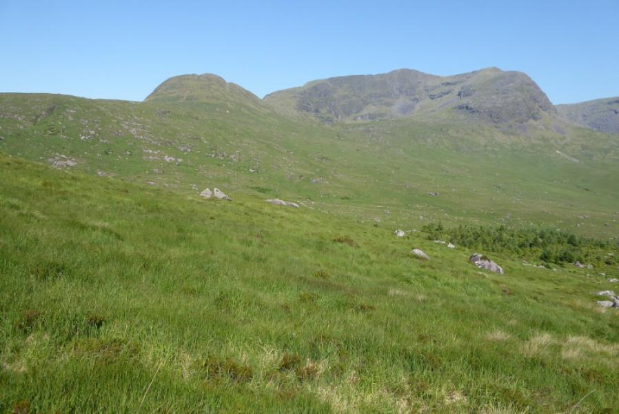
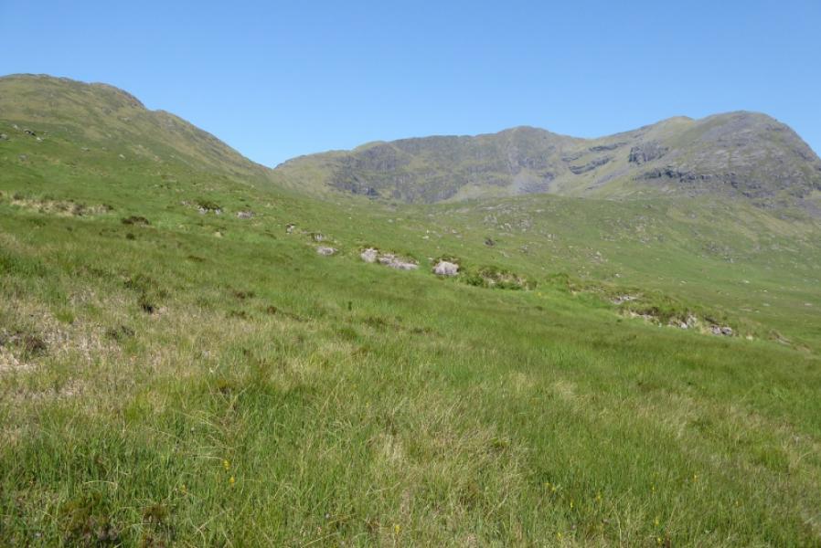
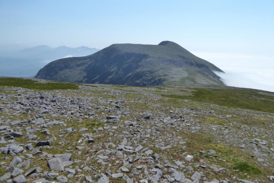
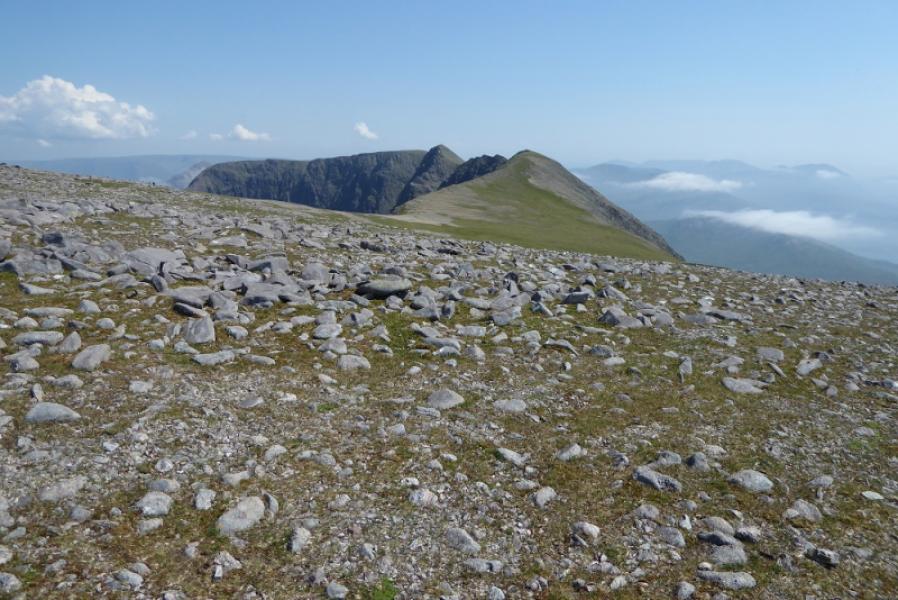
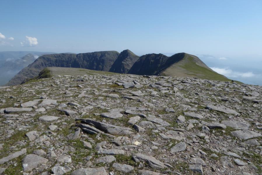
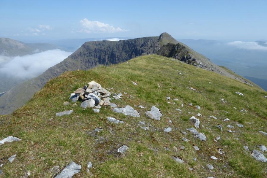
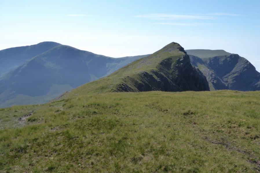
(2) Descend easy slopes to the N, path and cairns in places to reach a broad col. Continue up the other side on pathless but easy ground to reach a cairn. Pass it and follow the stony ridge, now roughly E, to another cairn which seems to be the summit of Ben Bury, 795 m but there is another cairn of similar height further on so it is sensible to visit both. From here, Ben Lugmore looks very difficult but is quite easy!
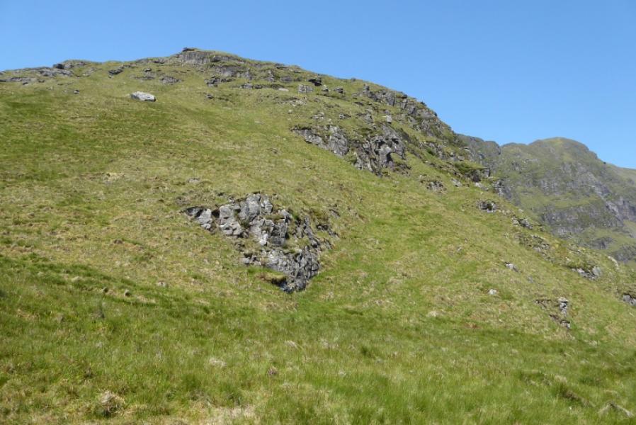
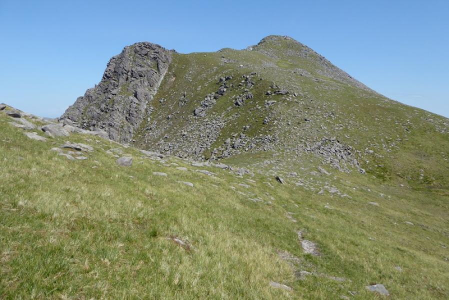
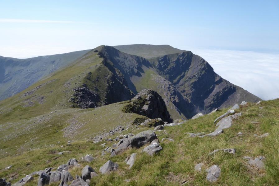
(3) Descend SE or follow the edge to reach a broad garssy col with a small cairn and a larger cairn further on. Start picking a way up the W Top of Ben Lugmore on a reasonable path. Reach a small cairn on a level grassy section which is the summit of Ben Lugmore W Top, 790 m.
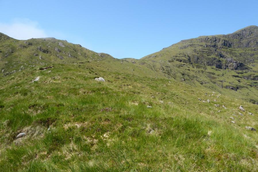
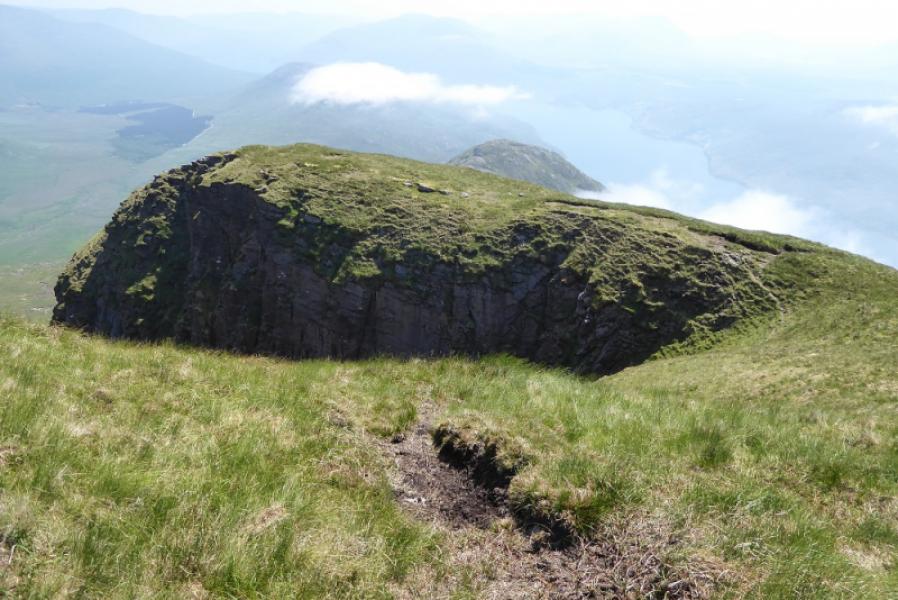
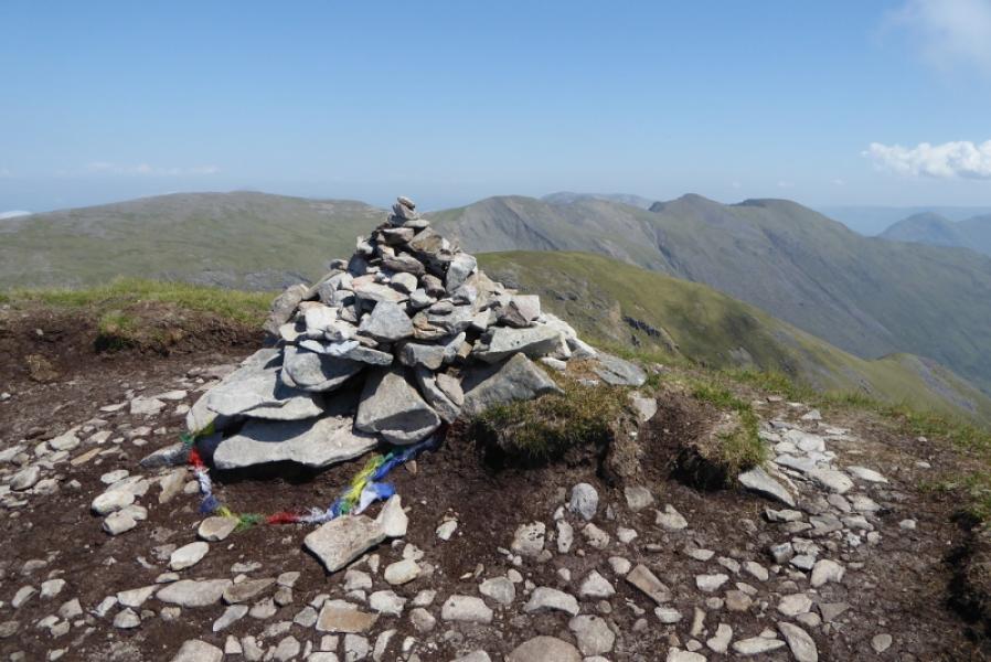
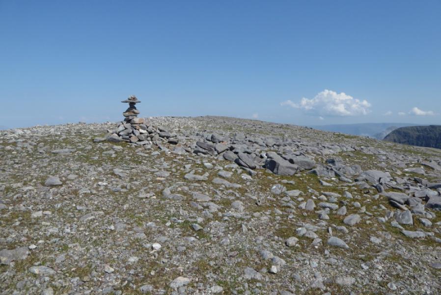
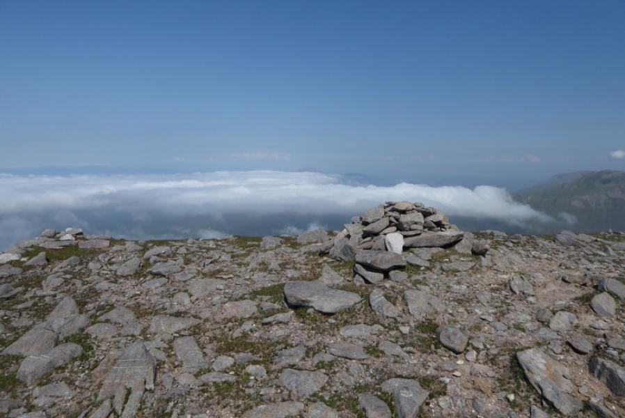
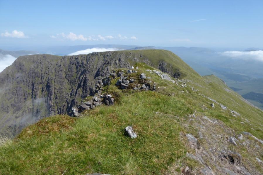
(4) Continue along the obvious crest which is narrow but the route is fairly obvious on a good path. Try to stay close to the crest. Ben Lugmore looms up ahead and looks quite formidable but a path picks its way up and there are no difficulties. Reach a narrow level section where a small cairn is the summit of Ben Lugmore, 803 m.
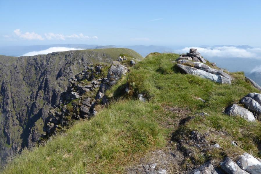
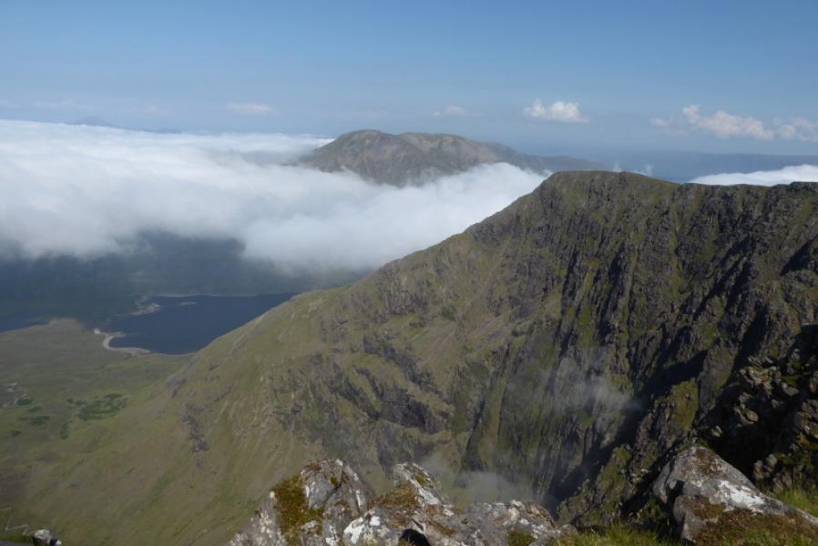
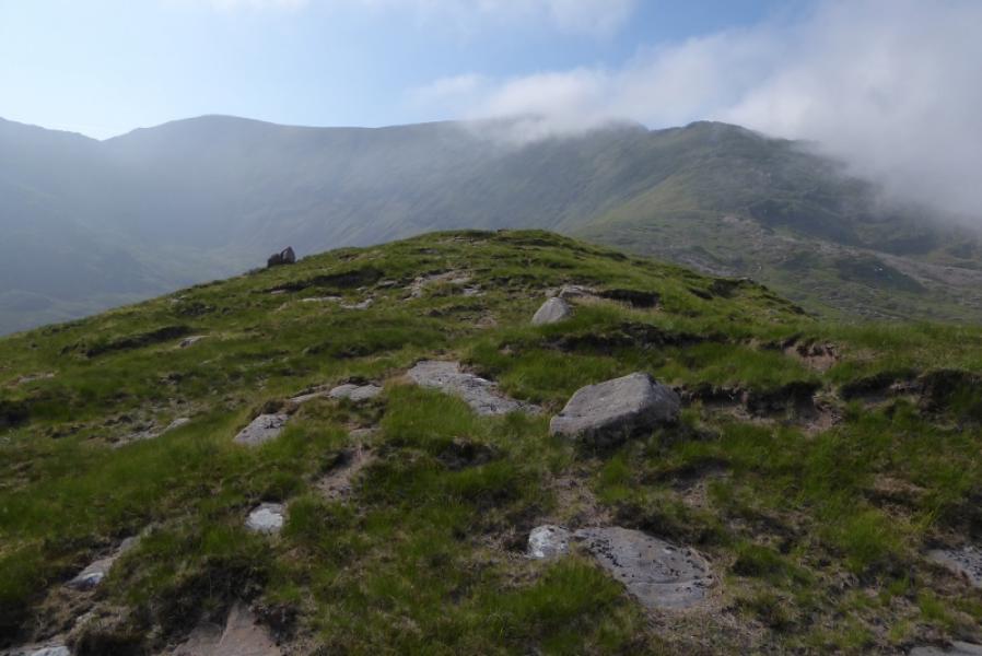
(5) Continue along the crest and soon descend to a col. Ascend steeply on a reasonable path to reach a plateau where a medium cairn is the summit of Ben Lugmore E Top, 793 m.
(6) The SE ridge from the summit is too steep so follow the crest ENE for about 700 m then descend a different SE ridge from there. There is path down the upper part of the ridge but it is difficult to follow lower down in the thick grass which will be boggy most of the time. Lower down, aim for the E edge of the forest closest to the road and Delphi. A “bank” will be reached which can be followed then a fence which leads to crossing the Owennaglogh River just before the forest. Follow the edge of the forest until a track appears then cross the fence to reach and walk back to Delphi.
Notes
(a) This walk took place on 4th July, 2018.
(b) If the Owennalogh River is looking difficult to cross, there is reported to be a bridge further downstream leading to a track, past a farm, back to the road. In clear weather the buildings will be easily seen and one could head straight for it.
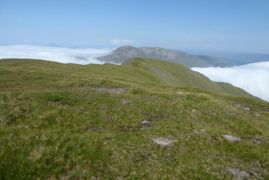
(c) ERROR: Photo 20180704zv labelled " E Top & Ben Bury from Ben Lugmore" is actually the W Top!
Photos - Hover over photo for caption. Click on to enlarge. Click on again to reduce.